5 Oct 2022 The Roaches Leader: Stephen, Length of walk: 8 miles, Driving Distance: 20 miles, Number walking: 11
Start from What 3 Words ///hampers, spite, poets
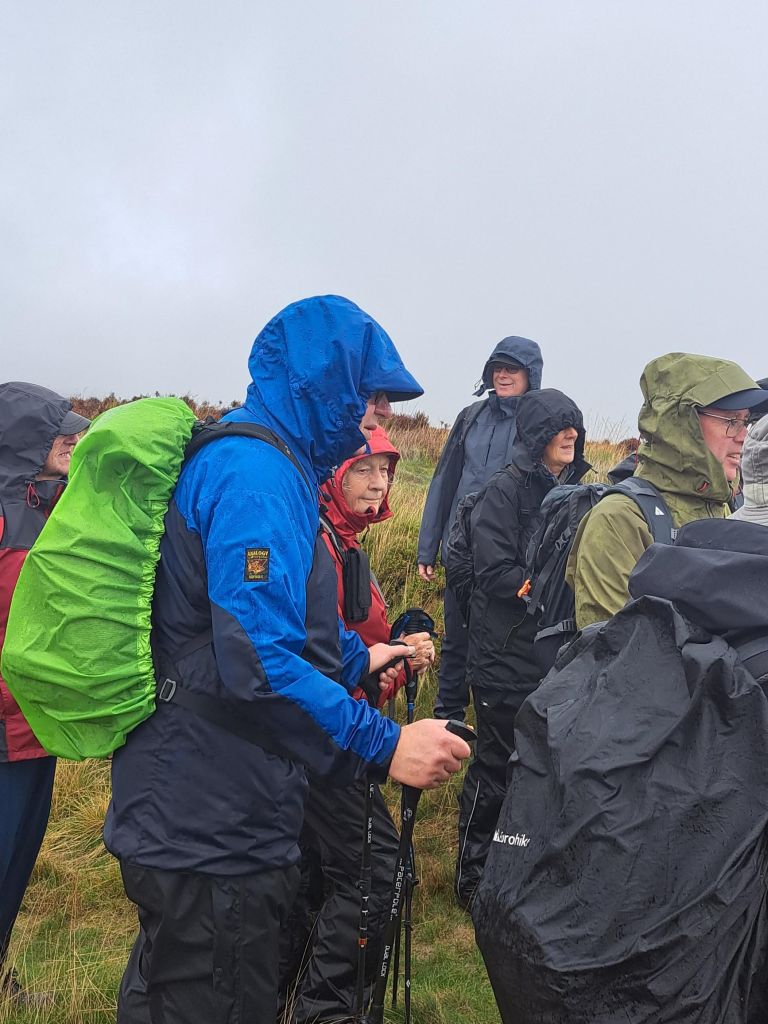
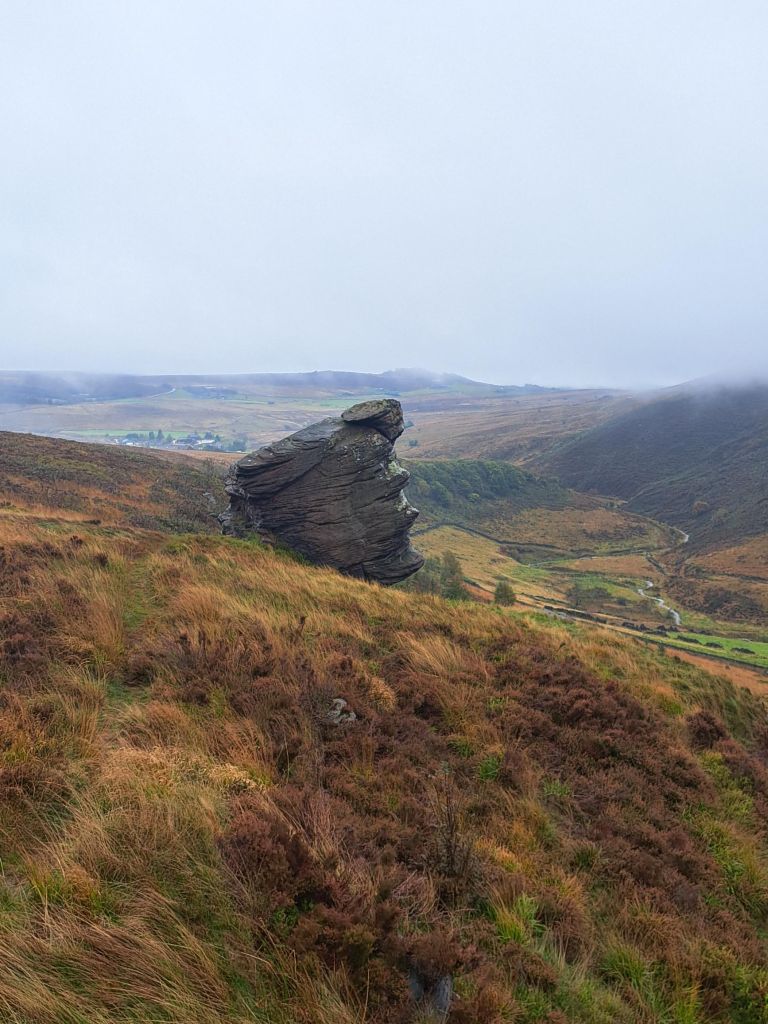
After a night of heavy rain, a group of eleven LWG members gathered at a damp lower Waitrose car park and stoically decided to test the adage that ‘there is no such thing as bad weather, just bad clothing’. Eventually, having negotiated road closures near Timbersbrook, the party met up at the parking area on the road below Hen Cloud and got kitted out in an assortment of rain protection, including, embarrassingly, an umbrella, and trudged off into the wind and drizzle up to the ridge of the Roaches. The leader – alleged to be a geologist – continued the thesis ‘Why is Staffordshire lumpy?’ by referring to the resistant ‘gritstones’ of the Roaches outcrops compared with the softer shales of the valleys. Coffee was taken in the lee of crags showing prominent cross bedding, indicating that the area was once part of a large delta 300 million years ago. This explanation replaced the more interesting panoramic views which were hidden by the drizzle and mist.
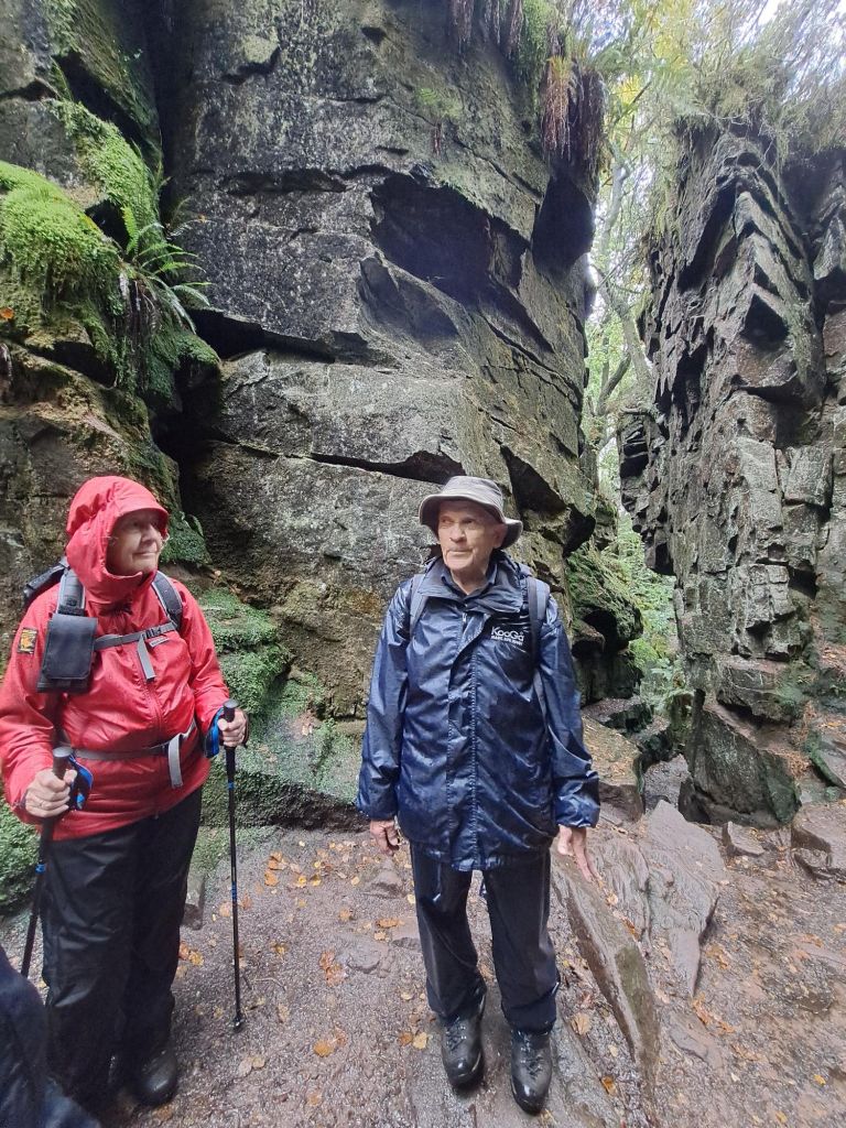
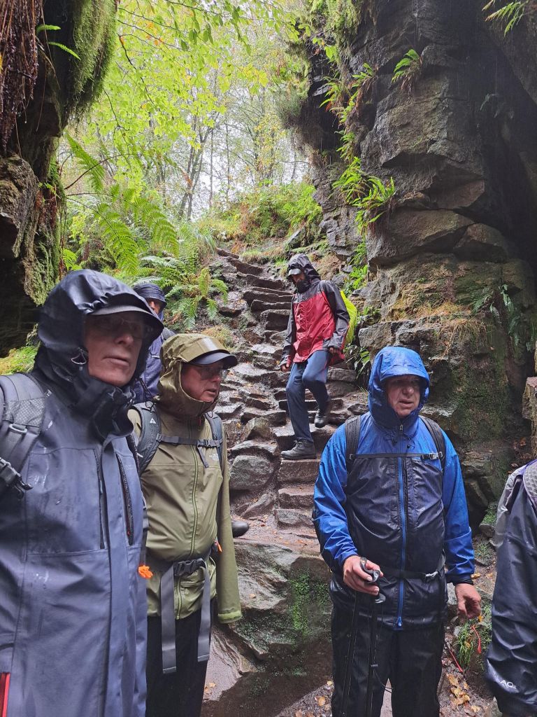
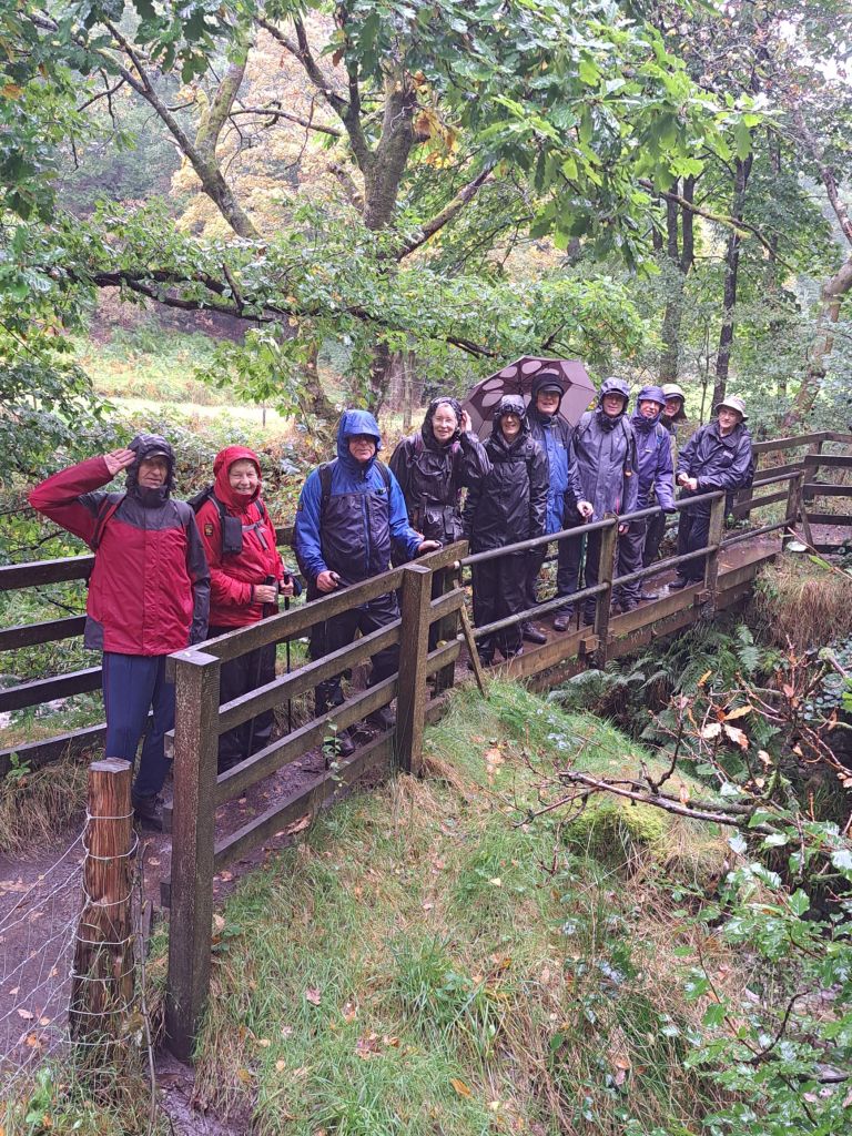
The ice cream van at Roach End was also hidden in the mist – or perhaps was not there at all – so the party continued onwards, upwards and downwards towards Lud’s Church, through the woods which took over from the drizzle by raining drops of water from the foliage. Lud’s Church is a deep cleft in the sandstone resulting from a landslide which didn’t fulfil its potential. A large section of the sandstone pulled away downhill from the main outcrop but didn’t move very far. The cleft was used as a place of worship for dissenters in the 15th century. Today, it was used as a repository for rainwater which even covered the duckboards provided for visitors not clad in proper walking boots.
Down to the River Dane, in full spate, and up to Gradbach Scout camp for lunch where several members of the party eschewed the table and benches specially reserved for the occasion, preferring to stand by the toilet block, presumably hoping to continue the geological study of relief and drainage.
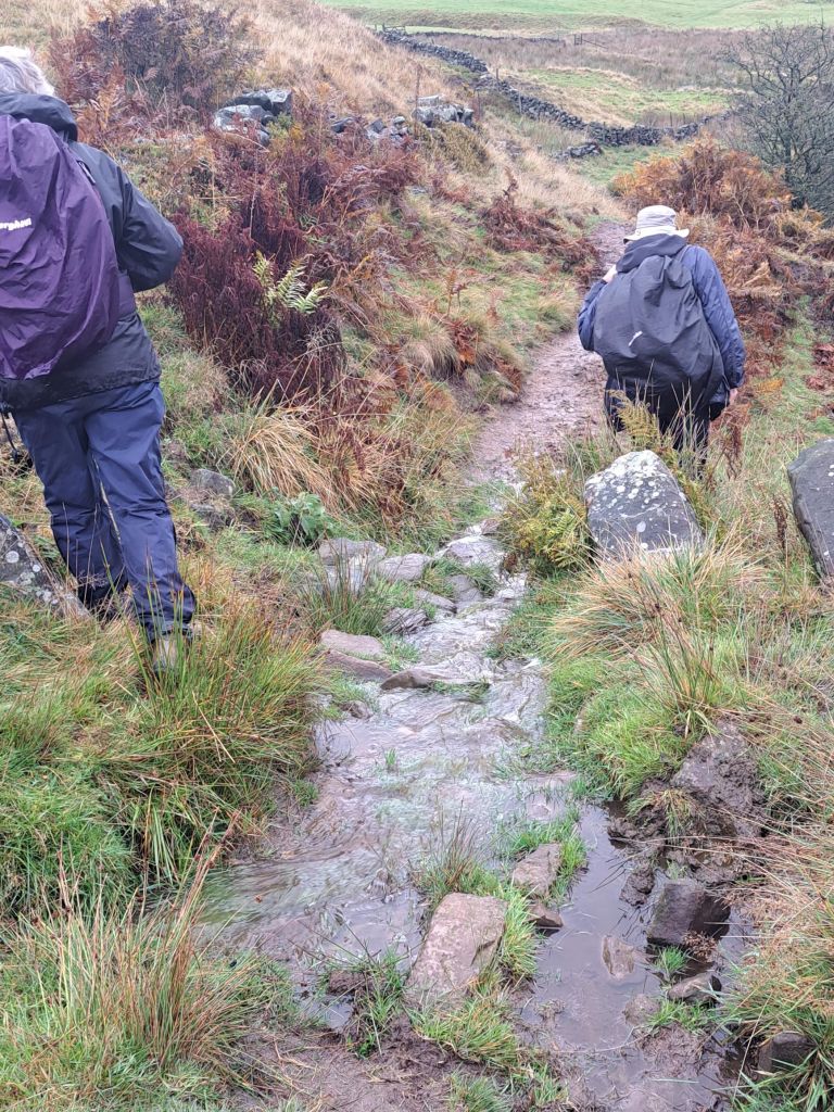
In the afternoon, the rain eased off, the umbrella was folded away and the views of the hills and valleys around Gradbach Hill could be appreciated whilst battling though the gorse and heather of this less popular ridge walk. On reaching the farmland, the route became more interesting when several of the footpaths – perfectly dry during the recce three weeks previously – now resembled streams and even the muddy bits were now several inches under water.
With sodden boots but drying coats the party made its way back to the cars just as the sun broke through.
19 Oct 2022 Moel Arthur Leader: Simon & Lynda, Length of walk: 7.5 miles, Driving Distance: 50 miles, Number walking: 15
Start from What 3 Words ///inquest.impose.tissue
Click here to see a map of the walk.
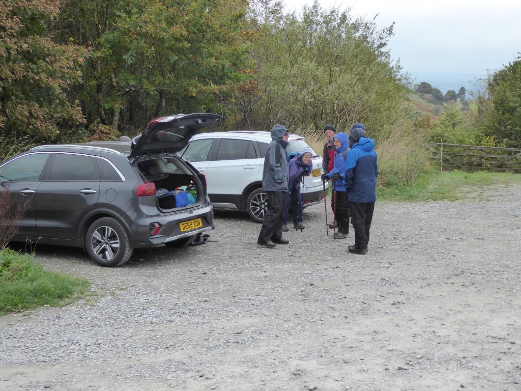
The car park chosen for the start of the walk is the gateway to two impressive hillforts – Penycloddiau and Moel Arthur. The final stretch of the route to the car park is a single track road of 2.5 miles. There were passing places from time to time but the whole thing was an impressive project of saving tarmac for a route that carries little traffic. It is to be hoped that Cheshire East Council doesn’t take it as a model for future road construction.
Four cars set off from Sandbach but only three arrived before the planned start time of 10:30. The other car found a different car park nearby just over the hill Moel Arthur and waited. Fortunately there was mobile phone coverage and the errant car finally arrived at the correct car park. There will be no naming and shaming in this report; this isn’t the Conservative Party. Let’s hope they do better in future.
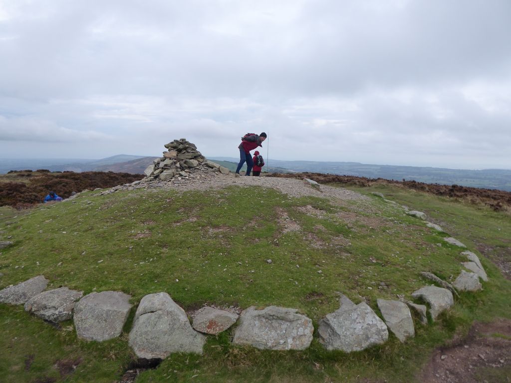
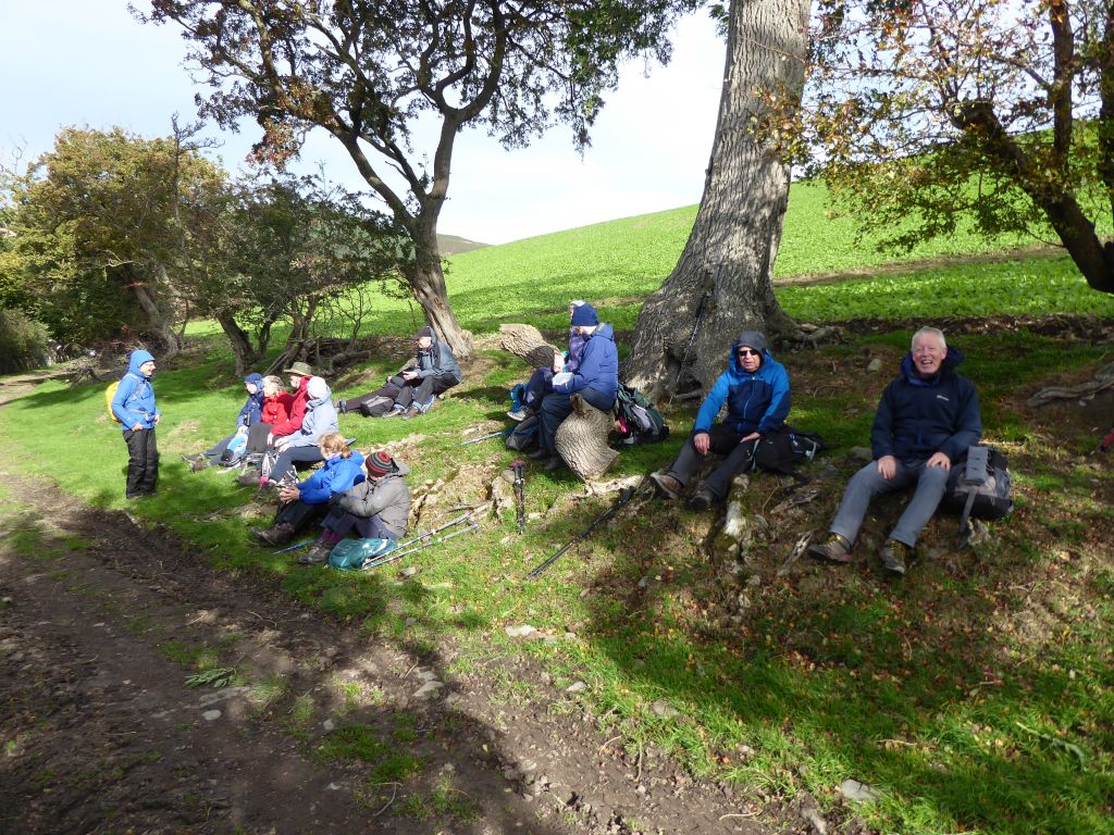
Once the group was reunited, they bounded up the hill to the Penycloddiau hillfort along Offa’s Dyke Path. The higher they went, the stronger was the wind and the turbines in Liverpool Bay were seen to be whizzing round in good order. The walkers were fortunate to stay on their feet and were grateful for a coffee stop in the shelter of a ditch by the reconstructed Bronze Age burial mound.
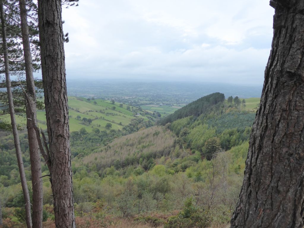
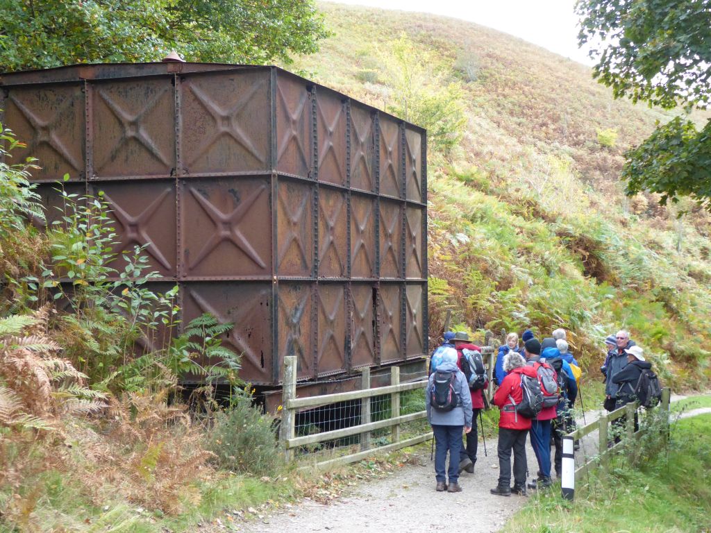
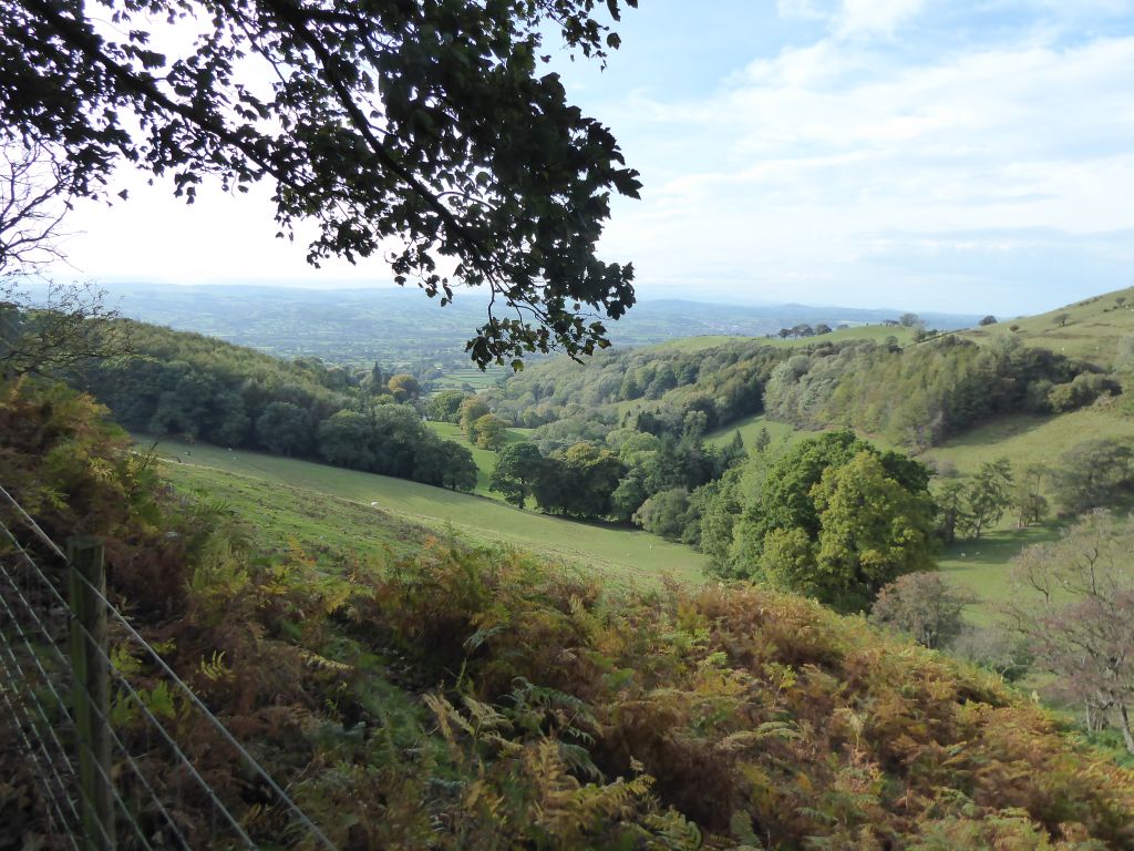
Eventually the group came down from the hilltop and took paths and lanes round the side out of the wind. Lunch was on a bank by the side of the track and the walk continued through delightful, wooded countryside.
Eventually the group reached the foot of Moel Arthur, where they were pleased to see that the route back to the car park didn’t go over the top of this hill. The leader did offer the chance for walkers to trek to the hillfort at the top, but no one took it up. Having seen the top of one hillfort in a gale, they found the car park more tempting than another steep climb.
Had anyone ventured to the top, they might have seen the Liverpool cathedrals; the cranes at the Liverpool container terminal and the sandy shore towards Southport were certainly visible in the clear, if turbulent, air.
Although rain had been expected, it failed to materialise, and the walk ended in sunshine.