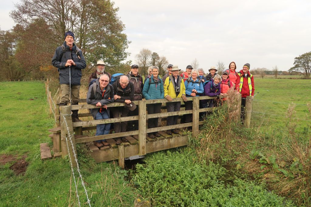
3 Nov 2021 Cannock Chase Leader: John & Doreen, Length of walk: 8.5 miles, Driving Distance: 37 miles, Number walking: 21
Click here to see a map of the walk
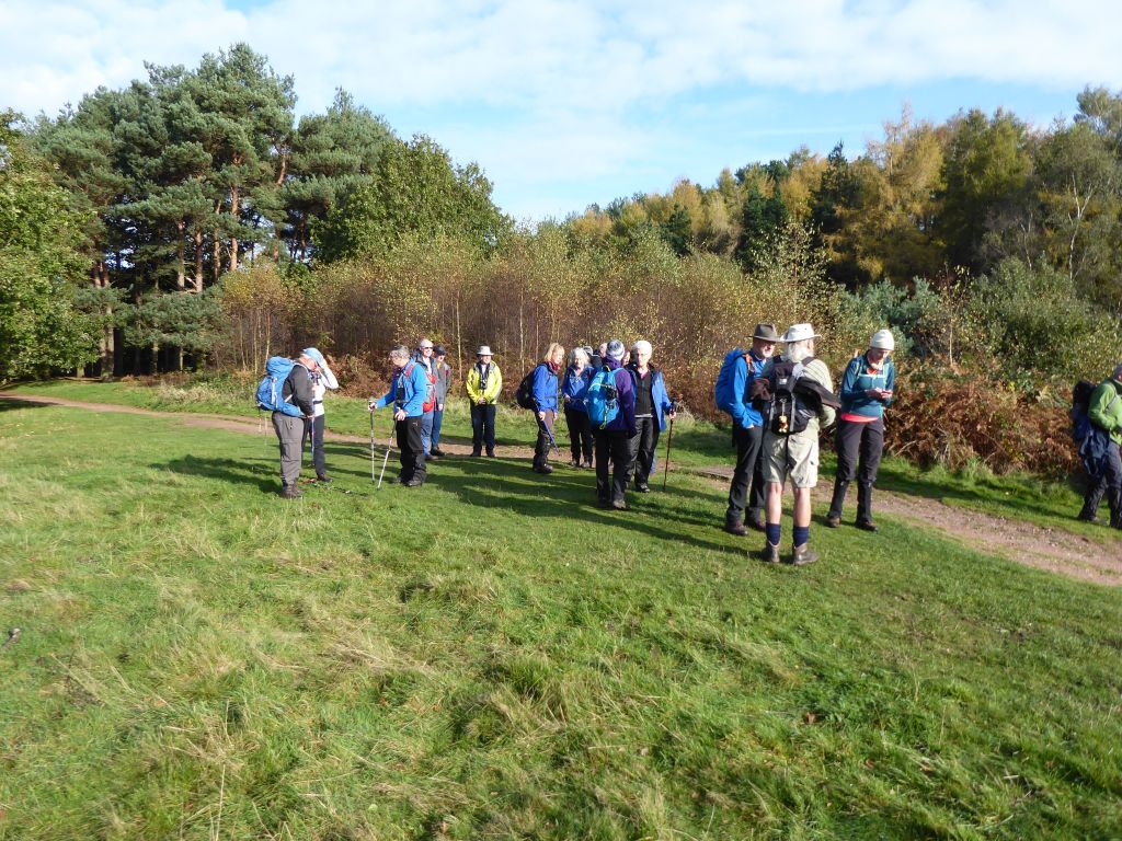
As the various cars assembled at the Seven Springs car park the weather was unsettled. The more nervous walkers donned overtrousers but they were unnecessary as the rain kept off until the journey home. However the overtrousers increased the level of rustling during the quieter sections of the walk leading to questions about whether it is only ladies’ legs that do this. One suggestion was that men’s legs are wider apart; something to do with horses. More research is required.
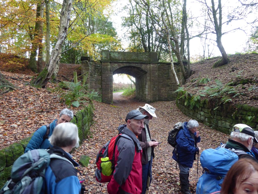
The group crossed the A513 and went under the railway to reach the Trent & Mersey canal, thus pointing out the various breakthroughs in transport infrastructure over the past three centuries. After marching along the towpath, the group entered the Shugborough estate via the Essex Bridge (it’s the only way). This is the longest remaining packhorse bridge in England and has 14 arches over the River Trent. There used to be 40 or more arches to accommodate the regular flooding of the Trent, but they are no longer needed. The bridge is so named because the Earl of Essex had it built in 1550, not because the builders had a peculiar idea of geography.
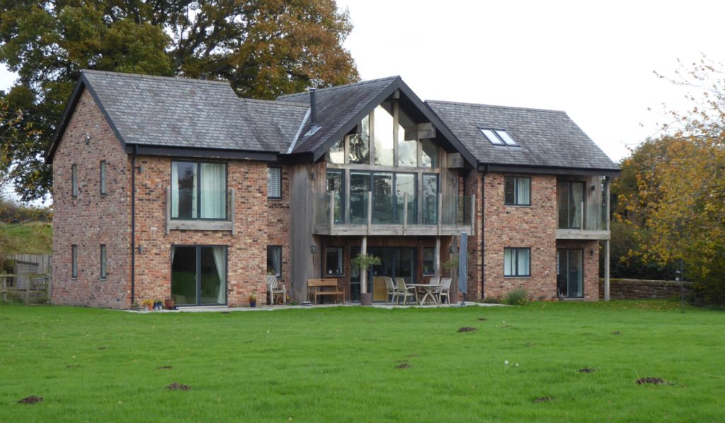
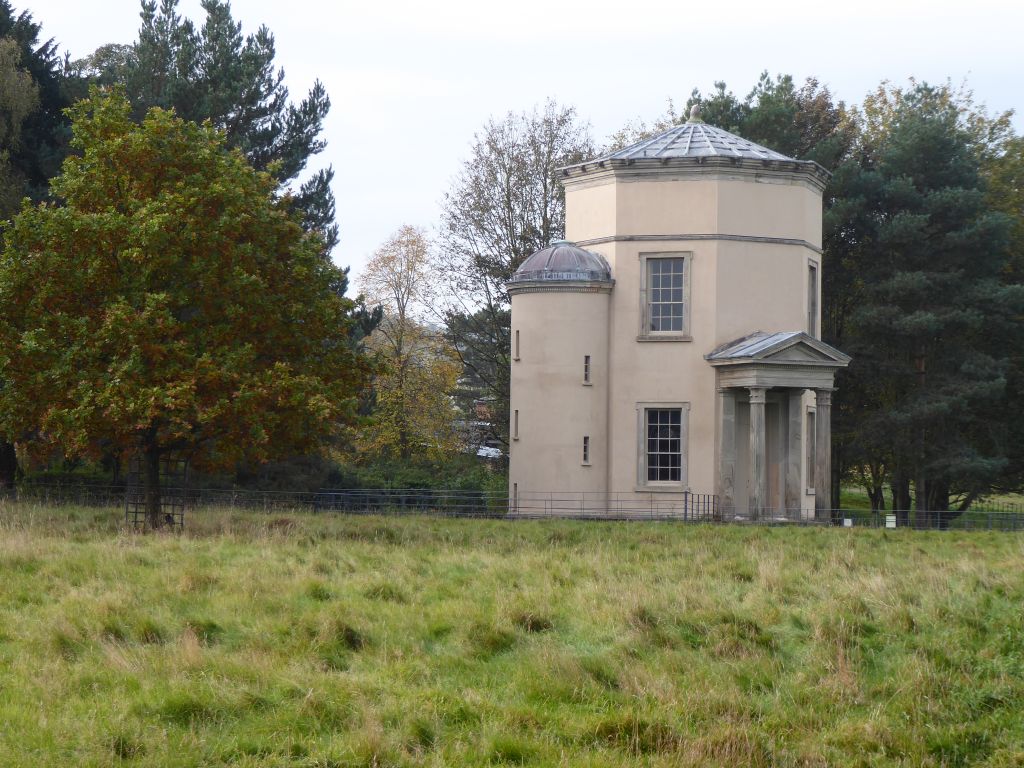
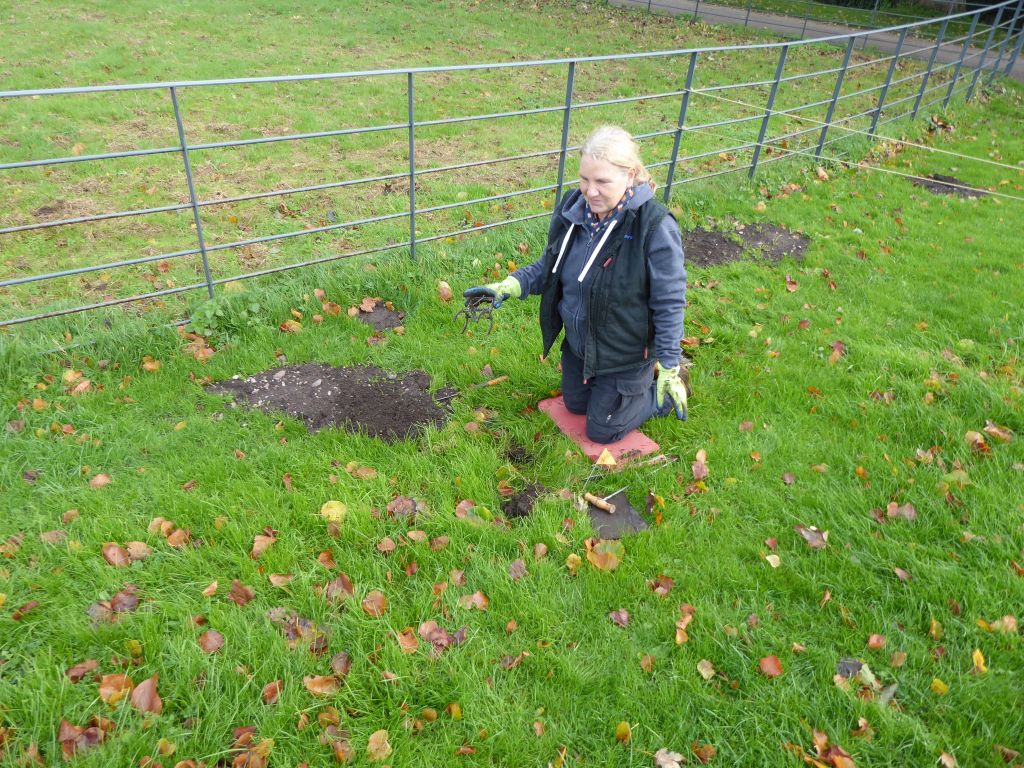
The leader had promised a coffee and toilet stop at Shugborough Hall but this seemed to evaporate as the hall and the folly named “Tower of the Winds” were left behind. Fortunately a sharp right turn brought the walkers to a field containing picnic benches and a sign pointing to the toilets. The sign didn’t give any clue about the activities of the National Trust employee kneeling on the corner. Under interrogation she revealed that she was catching moles and had already caught 20 of them. She kindly agreed to pose for the group photo journalist.
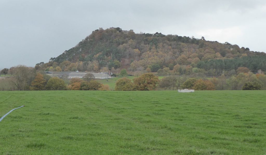
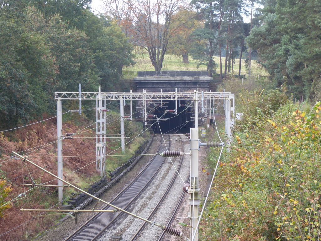
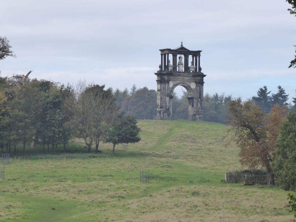
On the way to Cannock Chase the group passed the eastern portal of the railway tunnel that goes under the estate. This has Egyptian influences, whereas the western portal has a castellated Romanesque style and is much fancier. The hill under which the tunnel sits features the Arch of Hadrian, another folly copied from a Roman arch in Athens. Because of the presence of the folly, the 777 yard tunnel has no ventilation shafts to spoil the view. The portals were so impressive that they became known as the “Gates of Jerusalem”. More questionable geography.
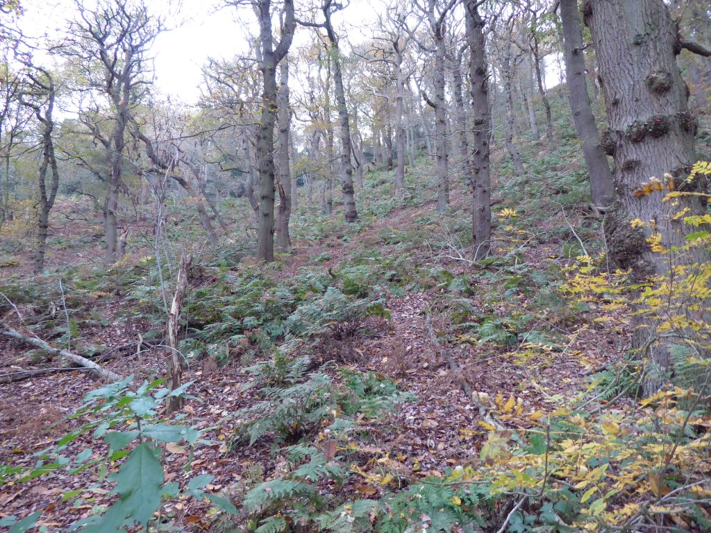
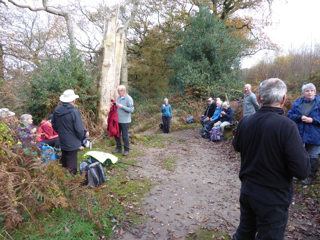
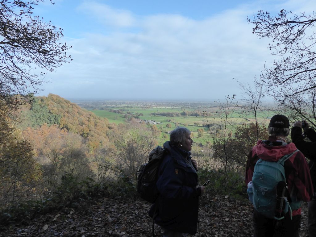
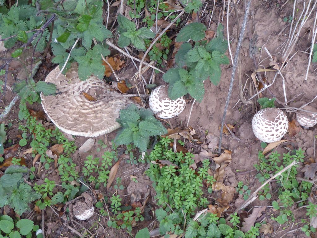
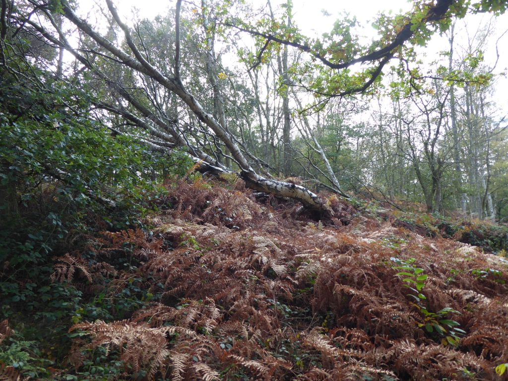
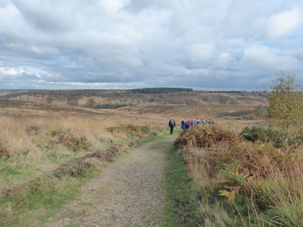
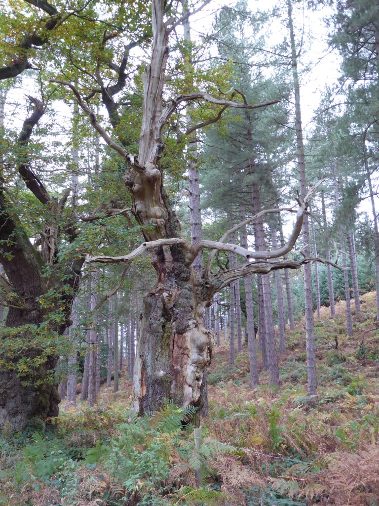
After a long walk downhill the route dived into the woodland of Cannock Chase, which contains a large number of silver birch trees. As the group settled for lunch by the side of the path, these unfortunate trees were the most prominent species. Another species that came to notice was a 5mm long fly that settled on some walkers in large numbers during lunch. They didn’t seem to bite or sting but insisted on travelling home in rucksacks.
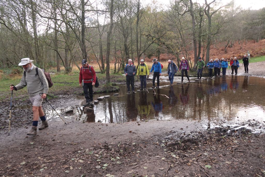
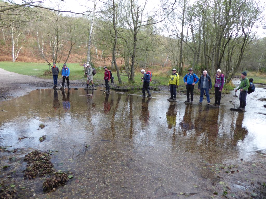
After wandering round Cannock Chase, sometimes in woodland and at other times through heather and bilberries, the walkers followed the Sherbrook Valley to the stepping stones that cross Sher Brook. They are obviously mainly intended for photo opportunities because the water was so shallow that anyone in walking boots could safely cross it dry-shod. Disappointingly none of the walkers fell off the stepping stones during the picture taking. They knew what was required, but refused to cooperate.
From the stepping stones it was a short walk back to the car park.

17 Nov 2021 Beeston & Peckforton Leaders: Mike & Linda, Length of walk: 8.5 miles, Driving Distance: 21 miles, Number walking: 18
Click here to see a map of the walk
The castle is mostly closed at this time of year but the car park pulls in a bit of income from walkers.
The group followed the Sandstone Trail between the closed caste and the closed café into woodland. On exiting the woodland the path went over the ground between Beeston Castle and Peckforton Castle. In Ralph’s absence this was the ideal opportunity for Mike to make up a story about Edward I building a castle on the site now occupied by Peckforton Castle. In Mike’s story, a combination of Beeston Castle and Peckforton Castle would keep out the Welsh, described by Mike as “frisky”. In reality, the building of Peckforton Castle started in 1842 and lasted 10 years. By coincidence, the builders were Dean & Son from Leftwich, which is where the scribe’s great great grandfather was living, while he worked as a stone mason.
John Tollemache, a leading landowner in Cheshire, commissioned Peckforton Castle. Some say he wanted a house that he could defend against the Chartist rioters that were a problem at that time; others say he was just eccentric. Nevertheless, he was a firm believer in providing well for his tenants and workers and by 1881 he had built 58 new farmhouses and about 270 cottages in Cheshire alone.
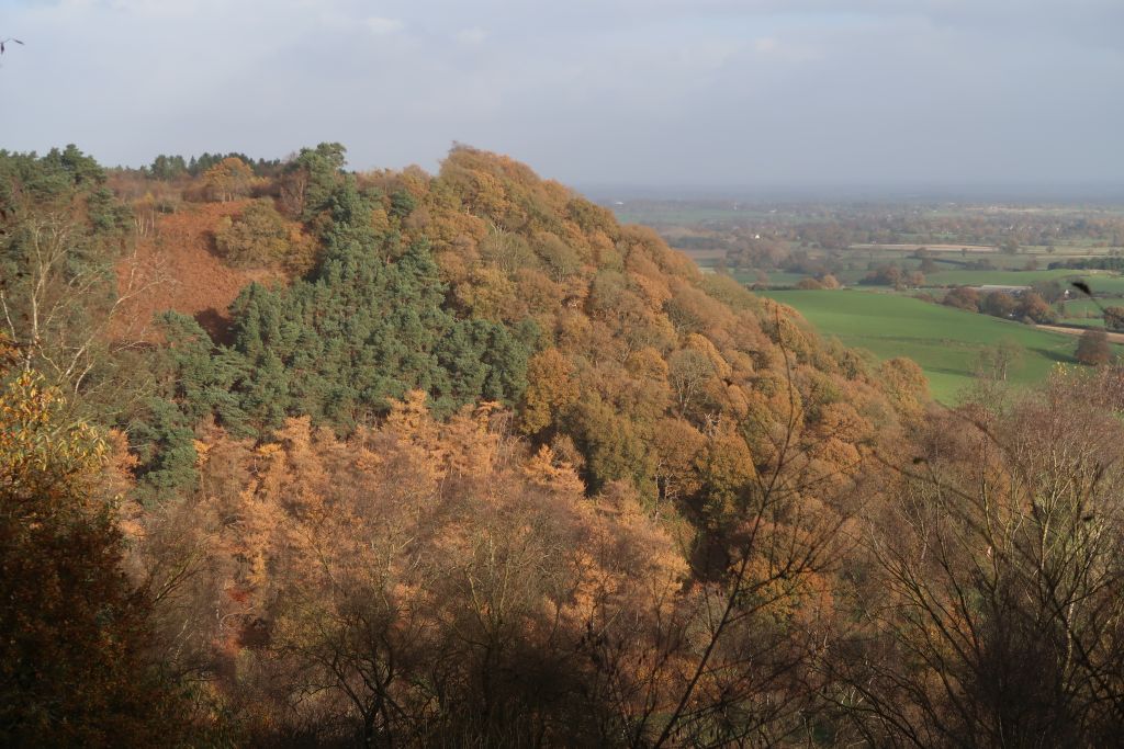
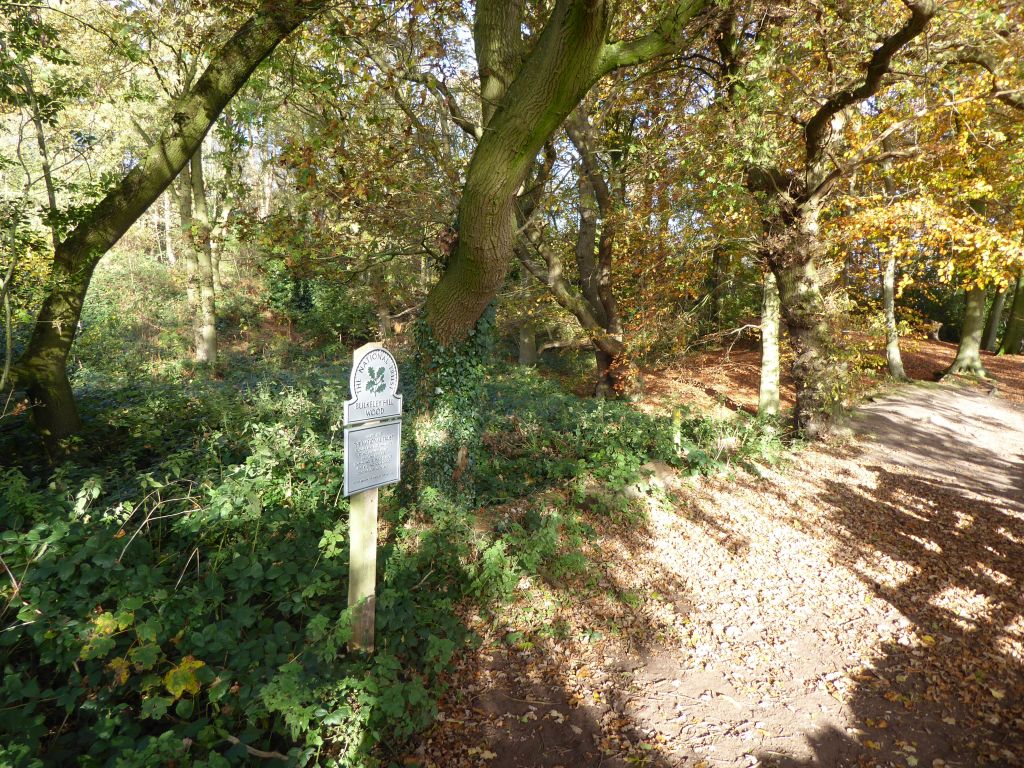
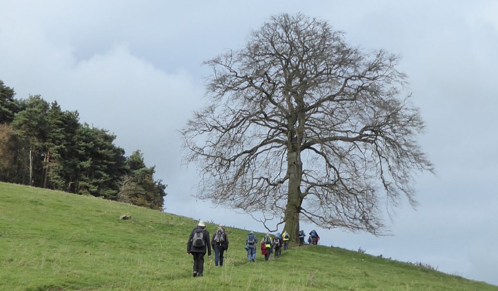
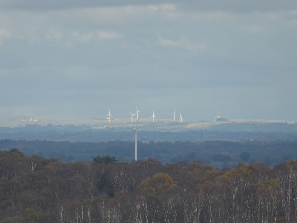
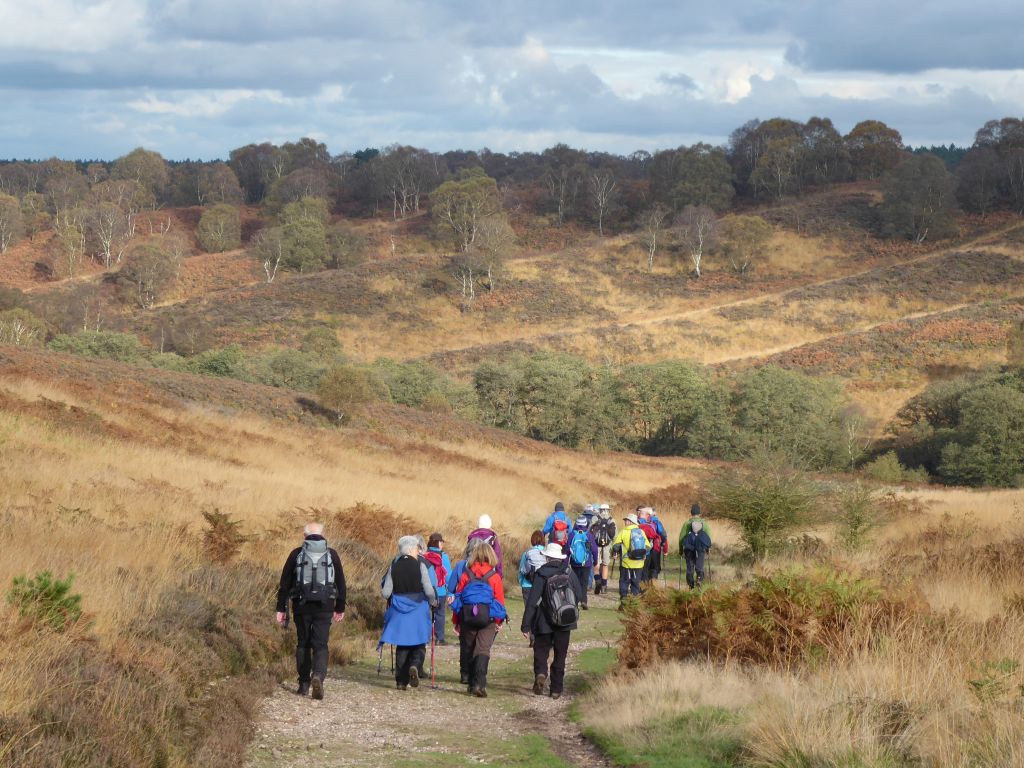
On reaching the Peckforton Hills the Sandstone Trail follows the western edge of the wooded hills until it climbs up Bulkeley Hill. Climbing this hill can afford interesting views into distant parts if a) the day isn’t misty, and b) the trees don’t get in the way. This day was misty but the nearby parts of the Cheshire Plain that were visible looked quite pleasant in the autumn sunshine.
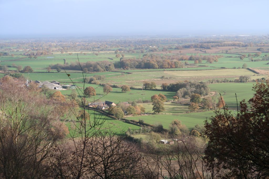
The shallow path down from Bulkeley Hill took the group to the road on the eastern side of the hills which led them to their lunch site overlooking the hamlet of Peckforton. During lunch the mist played tricks with the image of the telescope at Jodrell Bank, which was probably the most distant part of Cheshire that was visible.
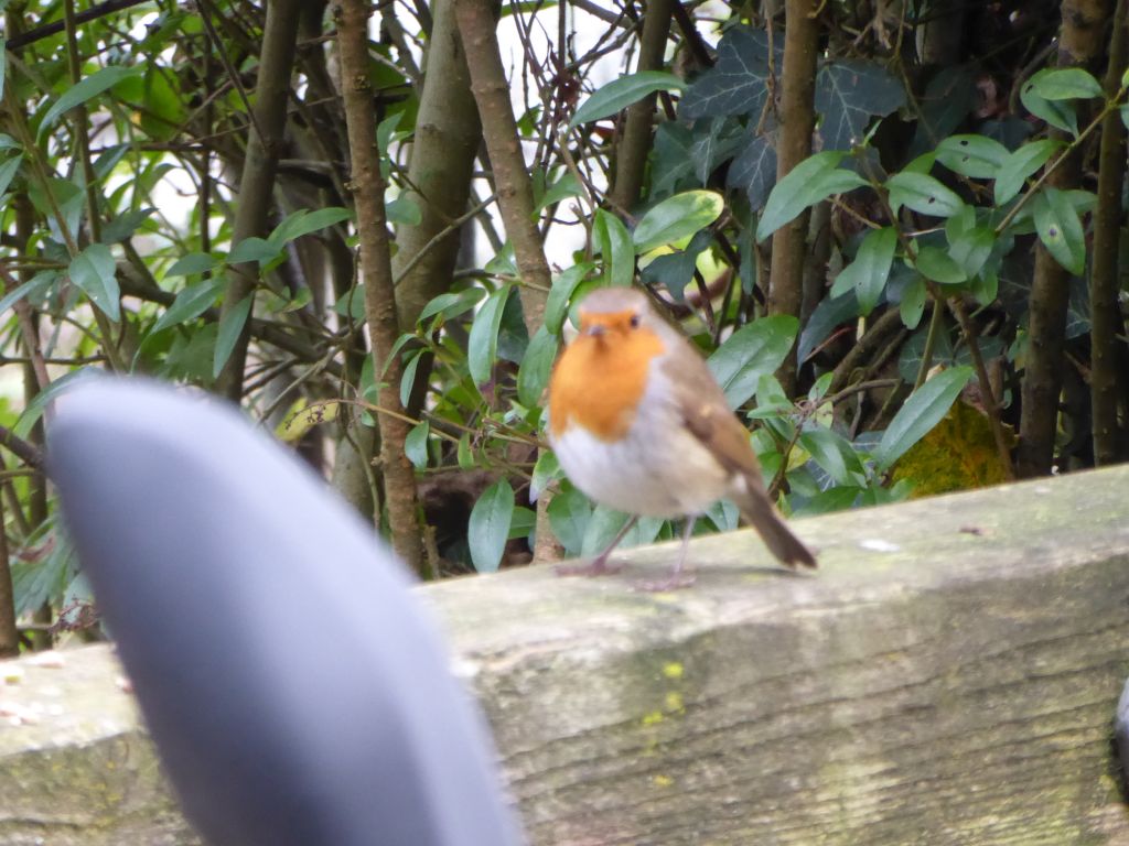
On descending from the hills, the party was entertained by an out of focus robin on a gate tamely feeding from a local. They then crossed Peckforton Mere, which is easier than it used be, since it has largely dried up. Nevertheless it is the birthplace for two Cheshire rivers; the Weaver goes south and the Gowy goes north, but they both flow into the Mersey. The authorities are implementing a “low input” (half-hearted?) scheme to rewater the area, including damming ditches to stop the water flowing into the River Gowy. Beeston Mere seems to be in a marginally better state of wetness but there is no sign of any activity to keep it healthy. The owners of the adjacent land which boasts a large extent of racecourse fencing would probably not be keen to lose any property to reeds or open water.
With Beeston Castle now dominating the view, the group followed the road and footpaths, where available, back to the car park.