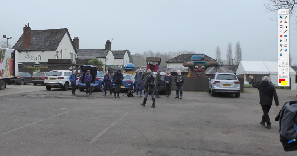
6 Mar 2024 Bickerton & Bulkeley Leader: Stephen, Length of walk: 7.5 miles, Driving Distance: 21 miles, Number walking: 21
Start from Bickerton Poacher SY14 8BE
Click here to see a map of the walk.
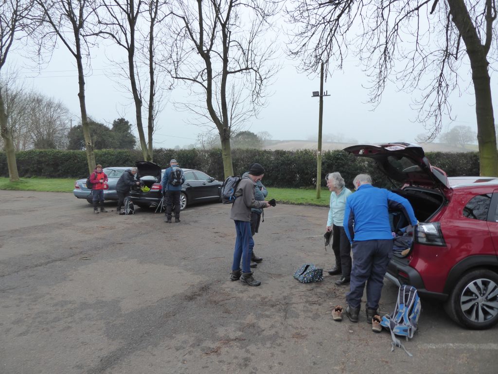
The sun shone in Sandbach adding to the air of jollity appropriate to a group knowing they were about to embark on a walk with cake. The mood darkened a little on the way as the mist obscured the sun and a road closure before Burland sent the cars looking for an alternative route.
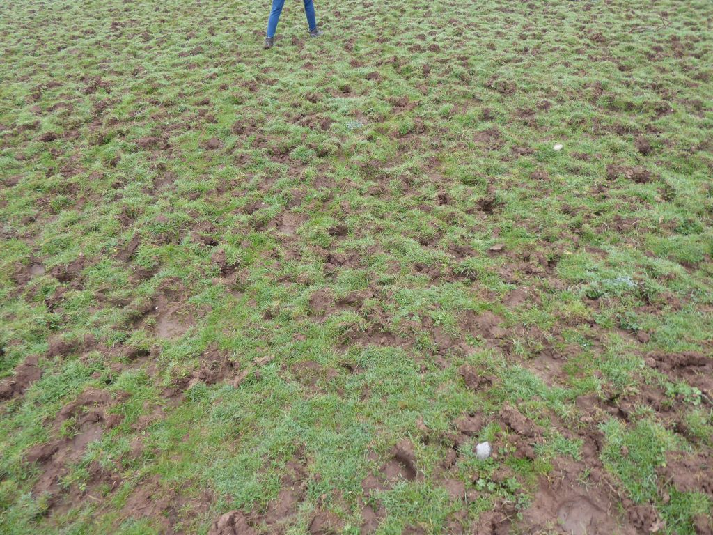
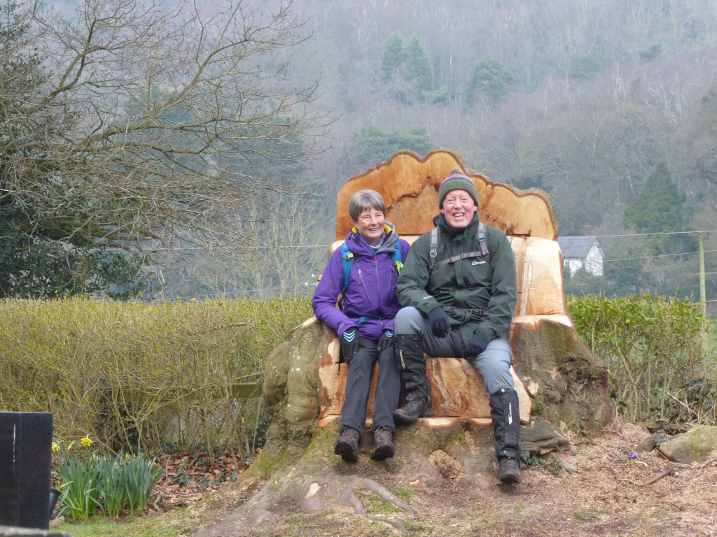
With all participants assembled in the car park of the Bickerton Poacher, the leader issued a voucher to each walker guaranteeing them a drink in the bar after the walk to celebrate his significant birthday and retirement from the long walking group. All the voucher holders then demonstrated their commitment to the group by joining the walk in spite of the warnings of muddy fields to come.
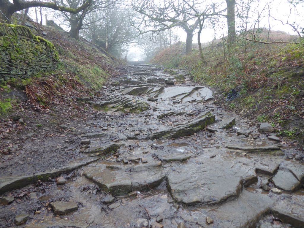
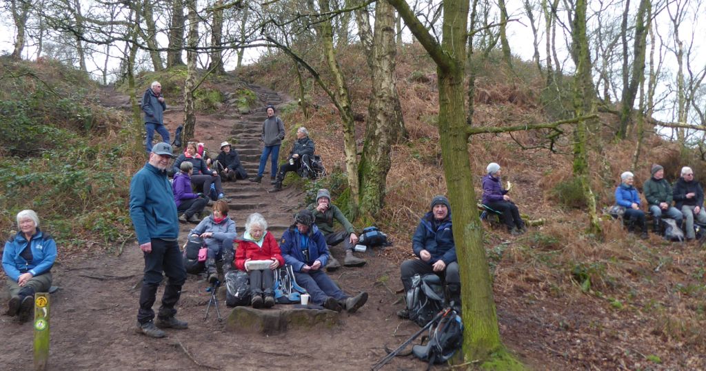
Those warnings soon proved only too accurate, but the walkers ploughed on (not literally) to climb Bickerton Hill. On a set of steps near the summit, the leader announced a coffee stop and, in a surprise development, somebody else produced a cake. Dave was also celebrating his significant birthday and shared a delicious carrot cake baked by his talented son.
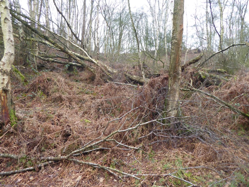
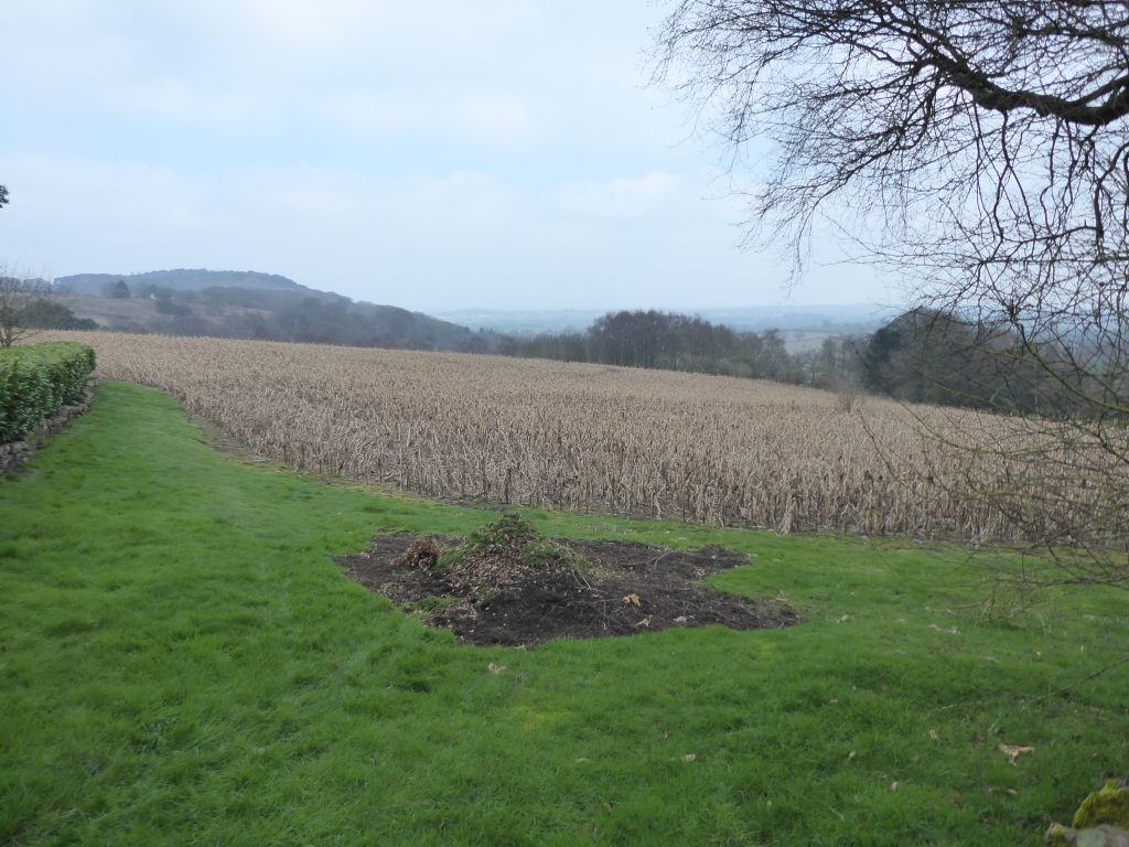
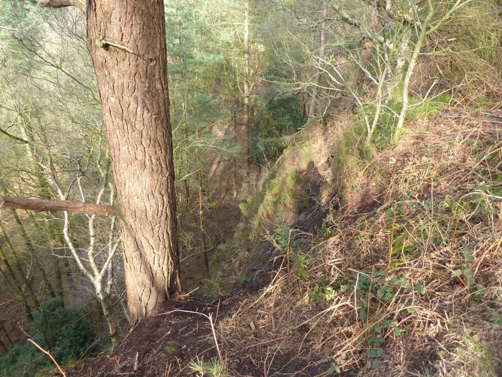
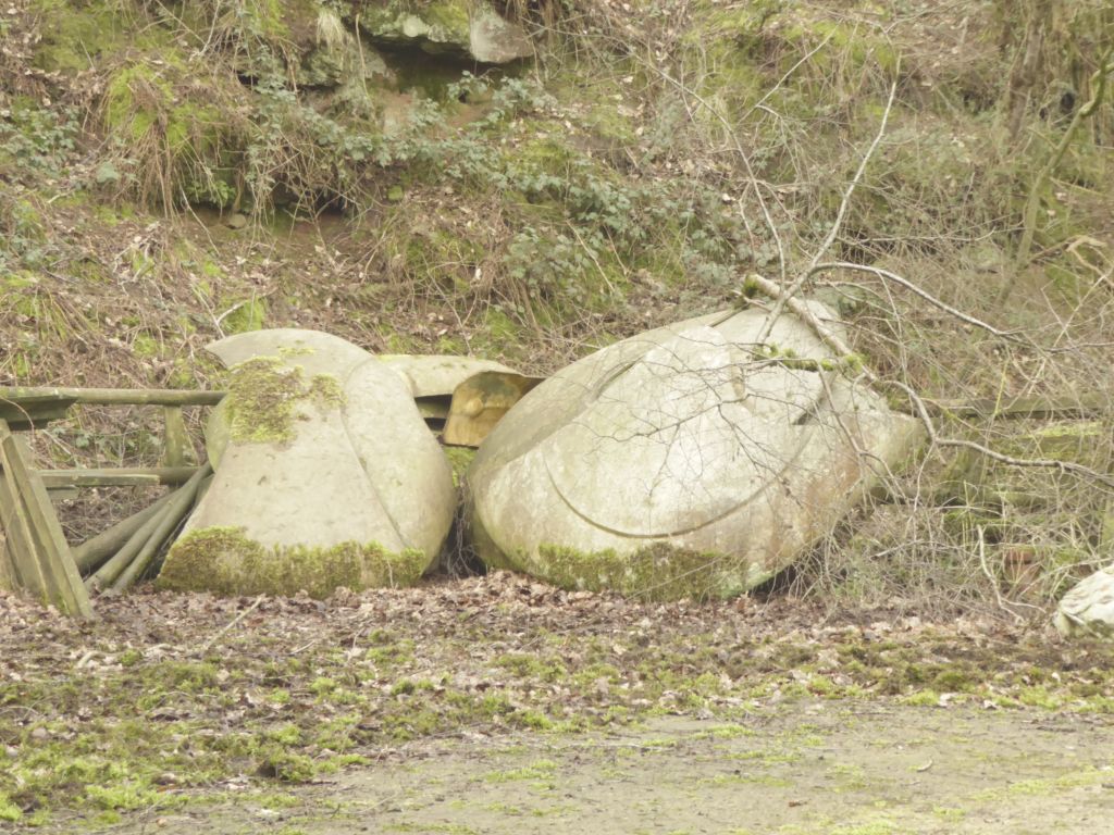
Although the group had nearly reached the neighbouring Iron Age fort known as Maiden Castle, the leader turned round to follow the edge of the woodland to the A534. One of the pictures in the gallery shows the approach to Maiden Castle and a possible reason for not making the trip.
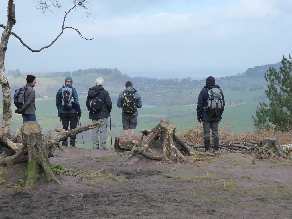
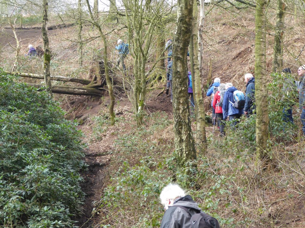
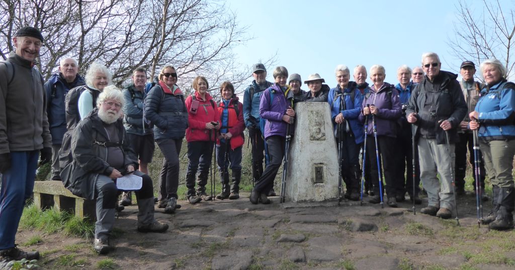
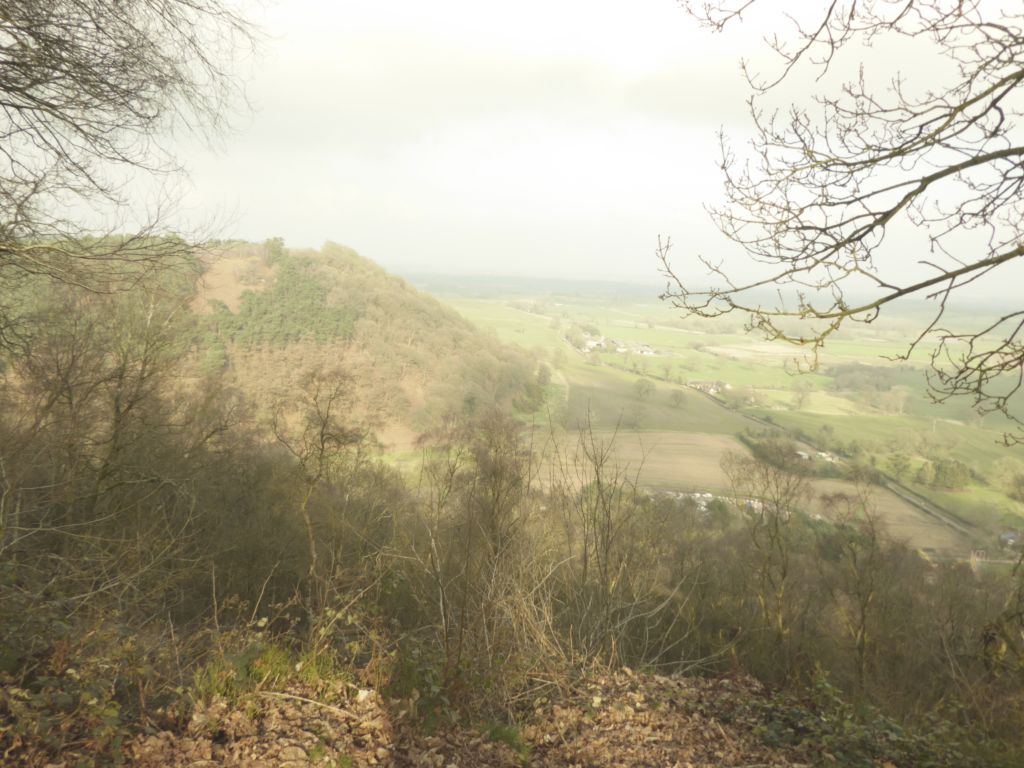
The group crossed the A534 and continued climbing to the top of the Rawhead cliff edge. On the way they stopped for lunch on a rocky outcrop before fighting their way past fallen trees to the trig point for a group picture. They then followed the edge of the cliff towards Bulkeley Hill, sometimes literally on the unfenced edge of a sheer drop. They all survived and made their way to the point on the Sandstone Trail where it climbs Bulkeley Hill. There was some muttering about finding a shorter route back to the Bickerton Poacher, but nobody wanted to jeopardise a cakey treat by complaining too loudly.
On top of Bulkeley Hill the walkers examined, as always, the narrow-gauge railway built in the 1930s to carry equipment to the top of the hill, when the two covered water reservoirs were constructed there. They were built for the Staffordshire Potteries Water Board, which begs the question: were their own hills all full?
After following the undulating path down to the road, the walkers quickly changed out of their walking gear and collected in the bar of the Bickerton Poacher. After a while a magnificent chocolate cake was brought in with plates and a large knife. The question then arose; who will cut the cake into 21 pieces. Obviously not the back marker who had failed miserably in January to cut lemon drizzle cake for the same number of walkers. Linda and Doreen roped in John to wield the knife using rack o’ th’ eye and the cake was issued to the fortunate recipients. Not all pieces were equally sized and the phrase “Yours is a big one” was heard from a jealous Simon. Nevertheless, the pieces left unissued were not claimed as second helpings.
It was a very enjoyable end to the walk and those present were warmly grateful to Stephen for his generosity on this occasion and for his major contributions on past walks not involving cake.

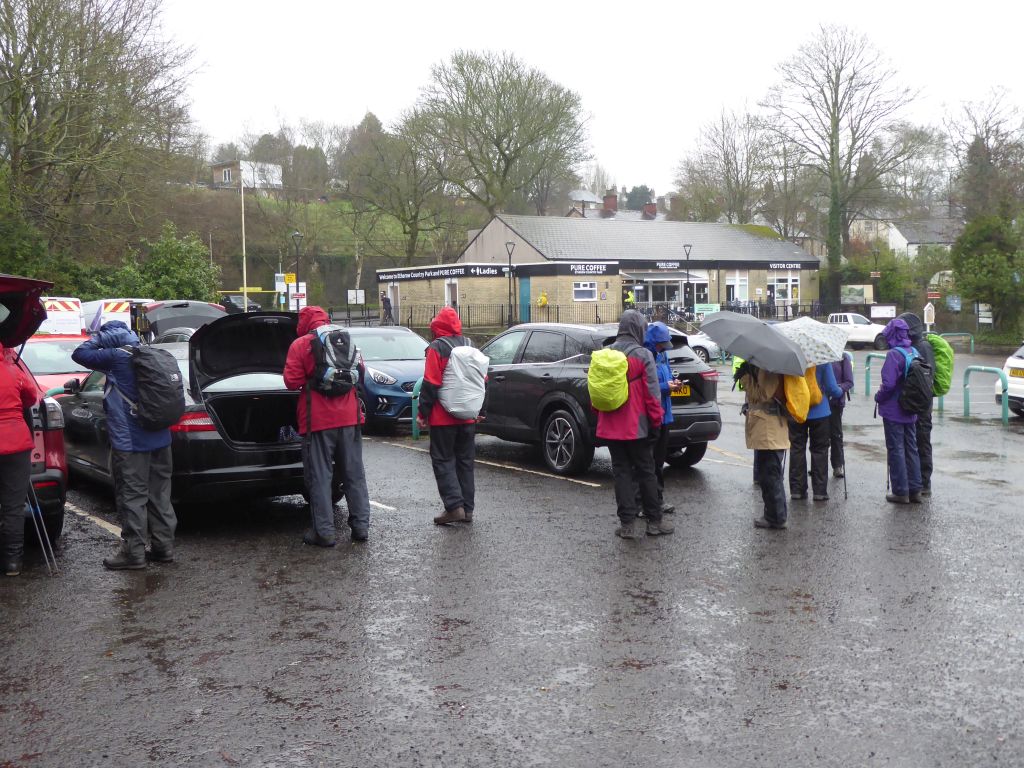
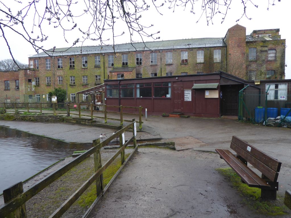
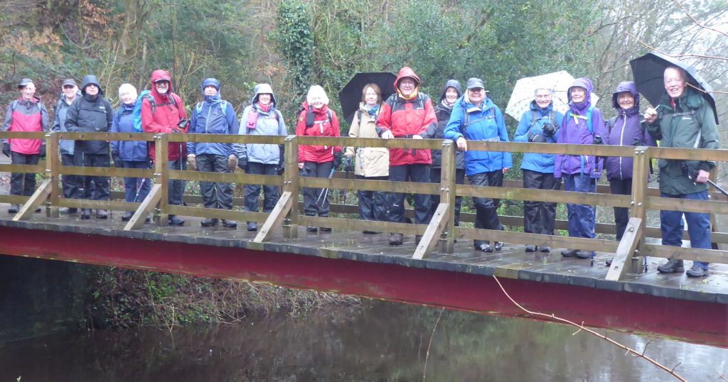
20 Mar 2024 Etherow Country Park Leader: Simon & Lynda, Length of walk: 9 miles, Driving Distance: 36 miles, Number walking: 17
Start from Etherow Country Park, SK6 5JD
Click here to see a map of the walk.
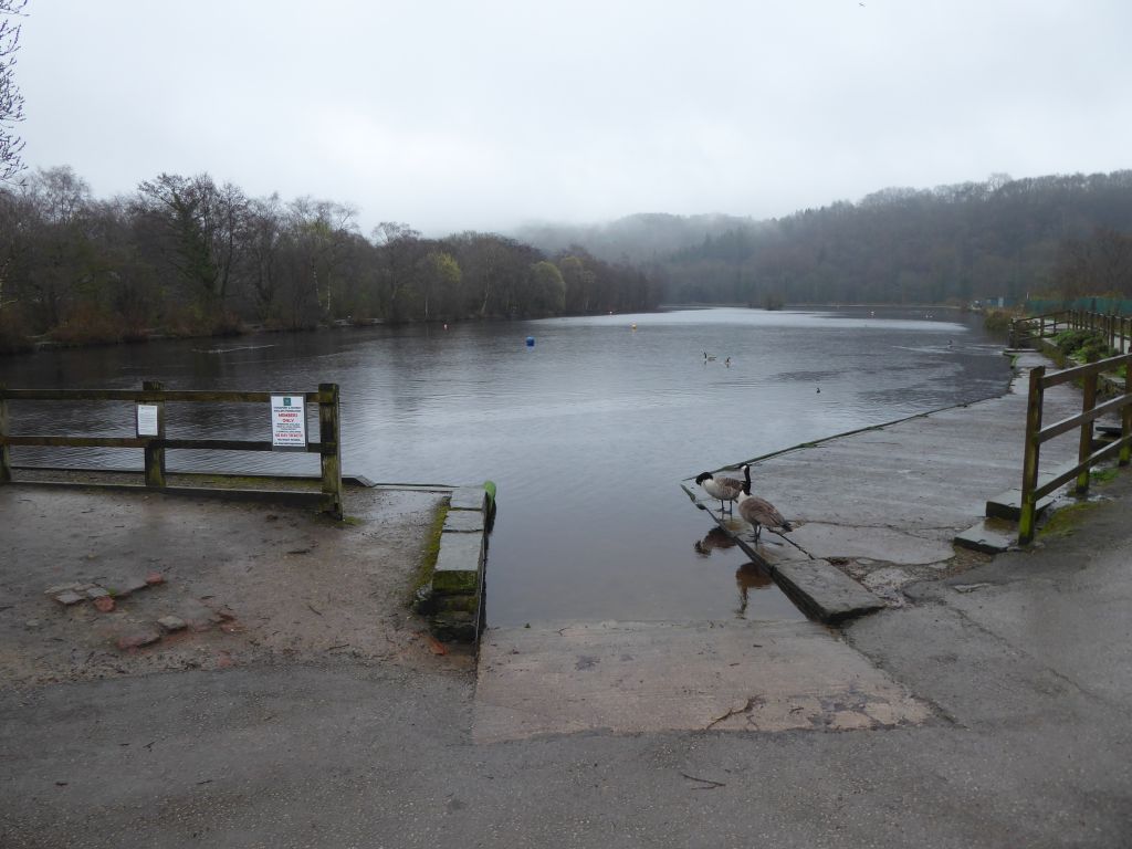
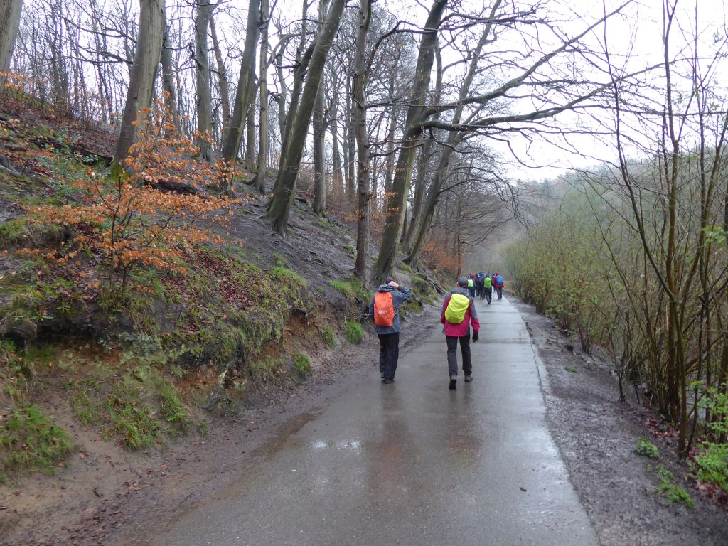
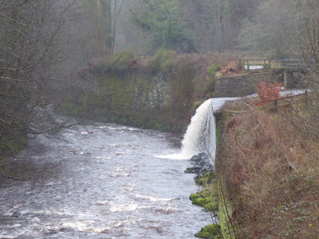
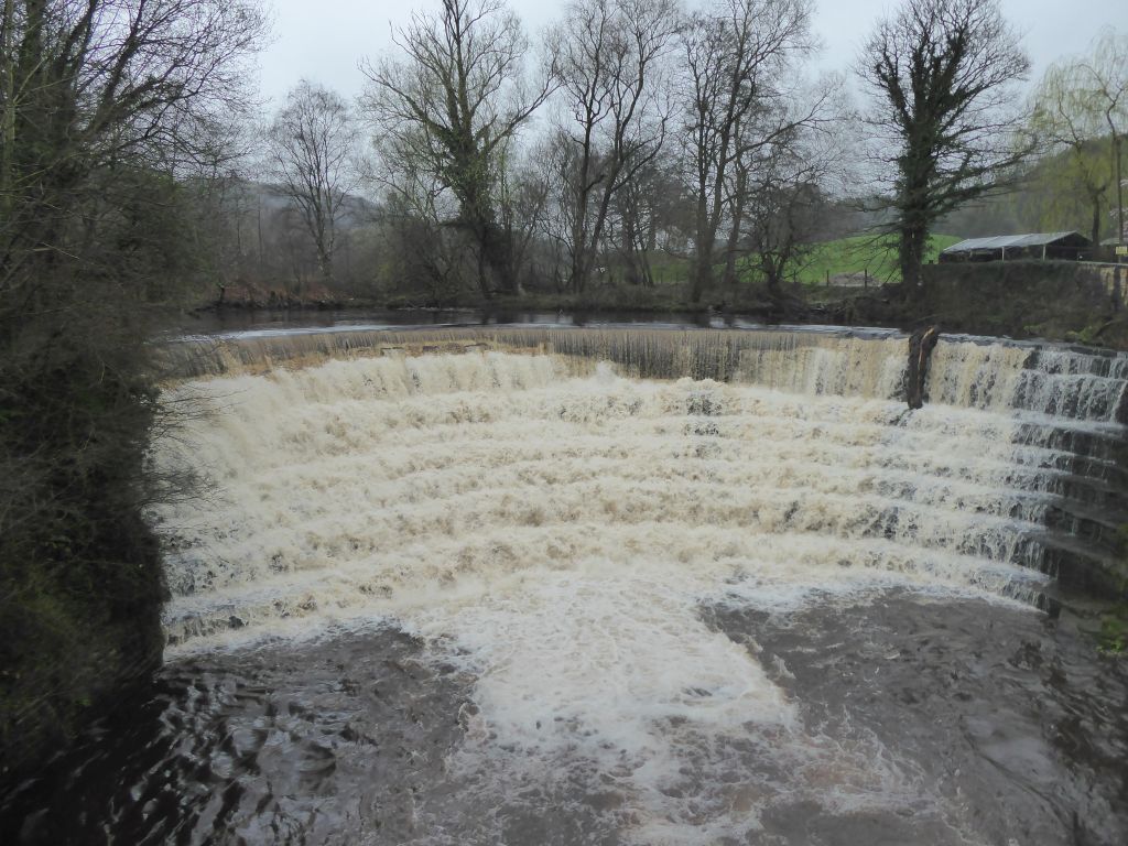
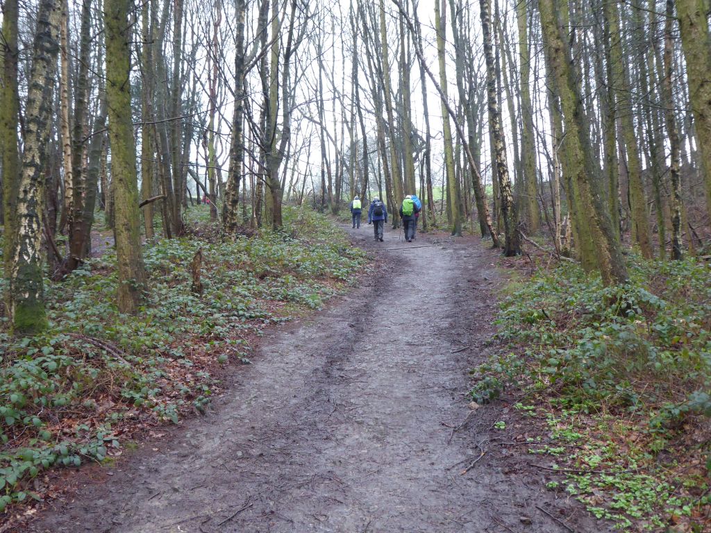
The rain was well-established at the start of the walk and continued through the morning. The route followed the riverside path to an impressive weir and then climbed through the trees. When the trees ran out and the group met a road, they followed it to Stirrup Benches, where they climbed again to the hills above Marple Bridge. It is a good place to take in extensive views over Manchester and Cheshire, when the weather is suitable. On this day the weather was most unsuitable with rain falling and mist blocking the views in all directions.
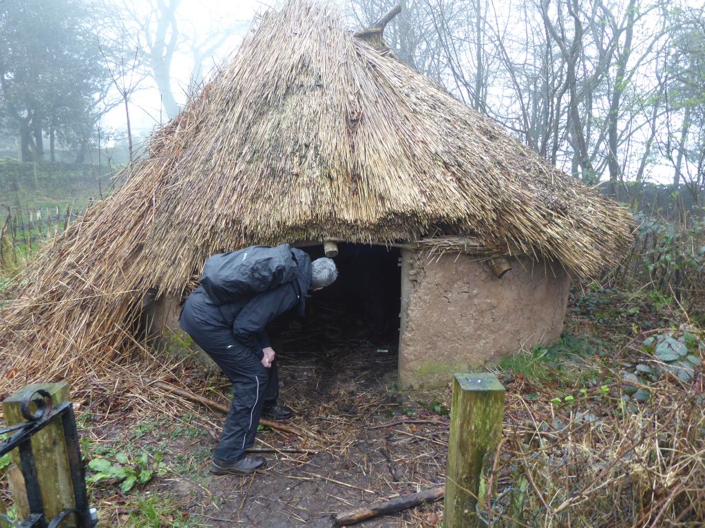
After a few soggy fields the walkers came to Mellor Church on a hill, which has been excavated since 1995 in search of archaeological finds. The site has been a treasure trove of Stone Age, Bronze Age, Iron Age, Roman and medieval remains covering 10,000 years of occupation on the site. A one third size replica of a prehistoric roundhouse has been built at the side of the church and attracted some attention from walkers.
The park in Mellor was the site of the lunch stop and the few benches and stone walls allowed the walkers some respite from the climbing.
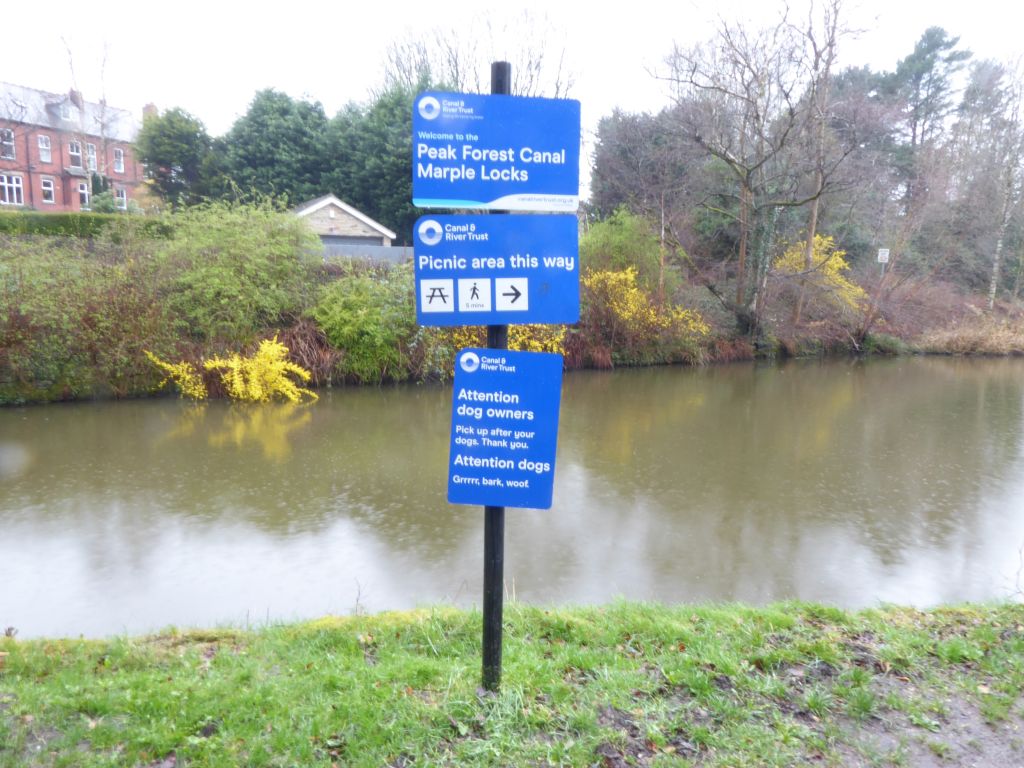
After lunch the group crossed the River Goyt and climbed over the railway to the Peak Forest canal. They followed the towpath except where subsidence of the path required an emergency diversion, but the leaders were up to the task and soon brought the group on track. It was in this area that Linda was targeted by an unseen bird and she was grateful that when the missile hit her, she was wearing her waterproof hood.
The route left the canal after crossing the Marple Aqueduct – the highest aqueduct on a canal in England. It then went under the canal into a very muddy field, followed by a tarmac road for variety and then the final leg on a very muddy riverside path back to the car park.