5 Jul 2023 Wildboarclough / Three Shires Head Leader: Marie, Length of walk: 11 miles, Driving Distance: 20 miles, Number walking: 8
Start from What 3 Words /// whiplash.unloaded.outs SK11 0BD
Click here to see a map of the walk.
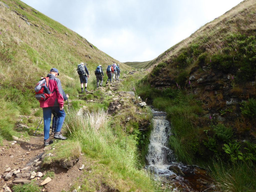
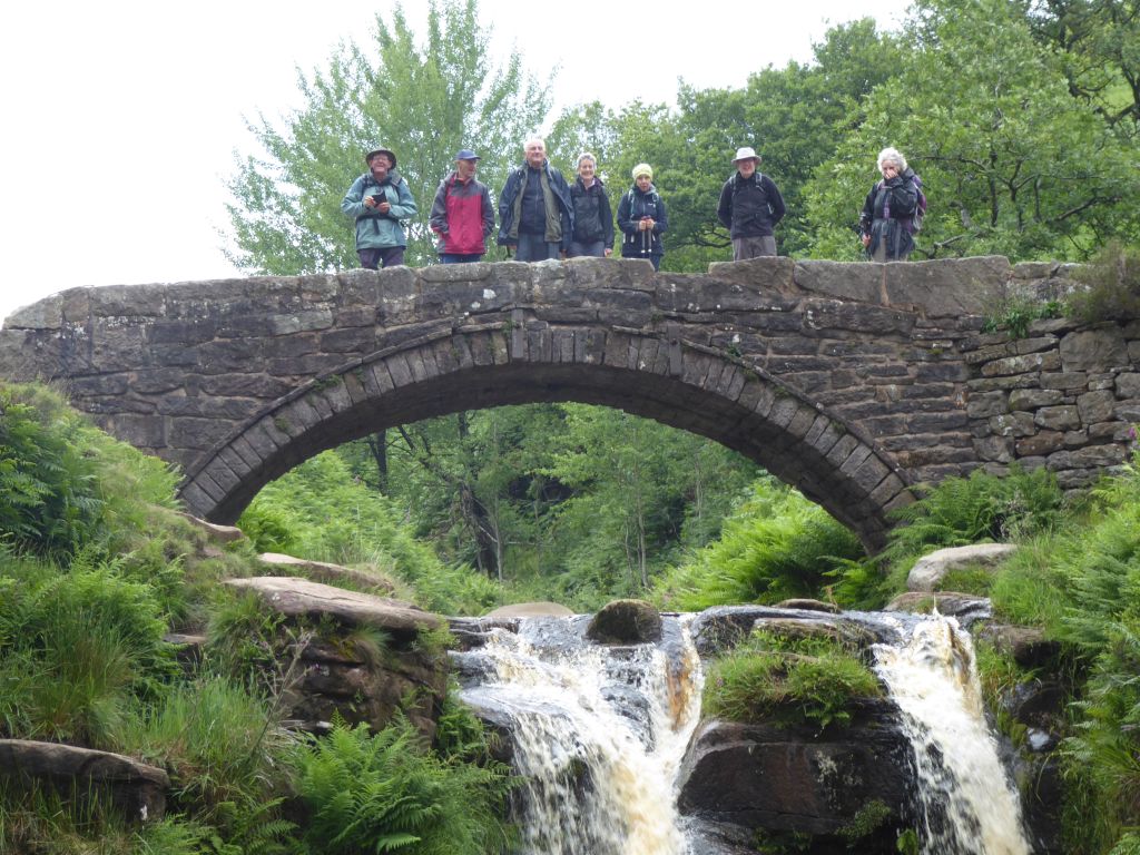
The description described the walk as “fairly challenging 11miles” and seven other walkers joined the leader to be challenged. This happened immediately as the group climbed up the boulder-strewn path up Cumberland Clough. There was much talk of the fall Kath suffered the last time the group went this way, but nobody came to grief this time. The Cat & Fiddle didn’t provide any temptation because the group passed it before its 11:00 opening time.
The temptation came at the Derbyshire Bridge coffee stop, where the leader brought out some shortbread biscuits she had rustled up. She had cunningly brought 8 biscuits – just enough for the group on the day.
As the group was about take the path down to Three Shires Head from the road across Axe Edge Moor, a woman stopped her car to ask for directions to Three Shires Head. She was given suitable directions and the group continued down the path.
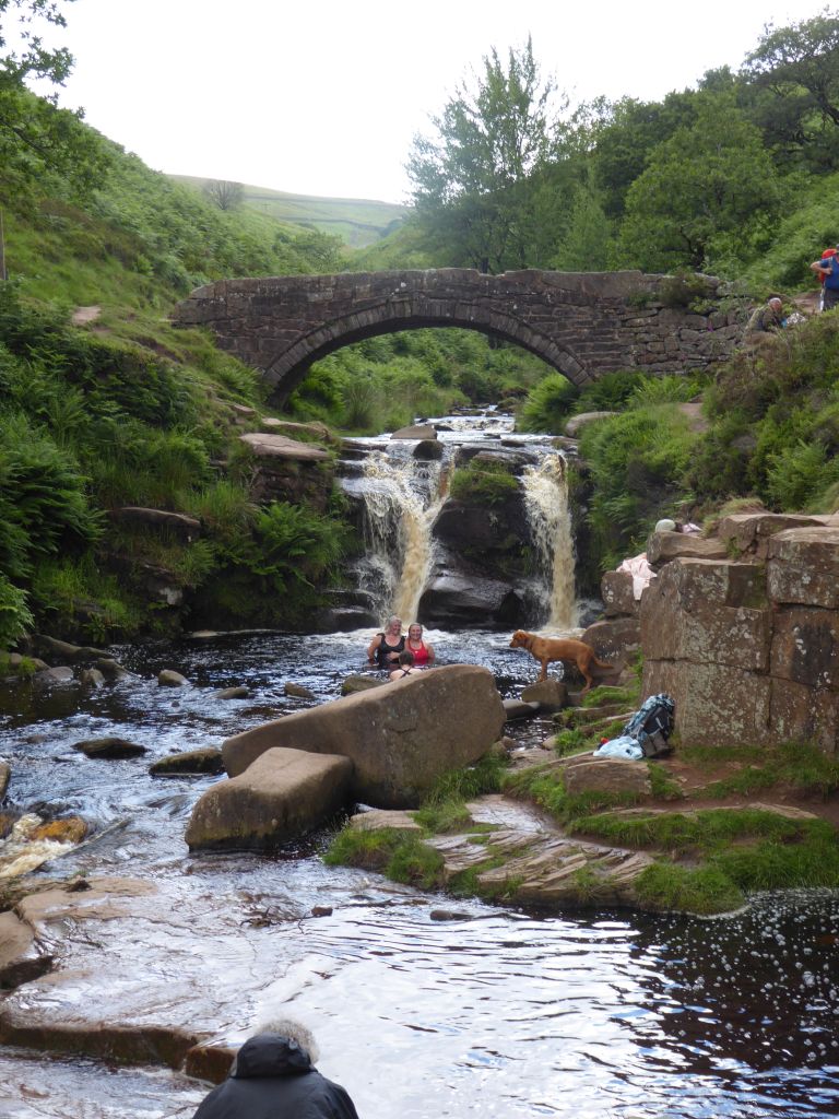
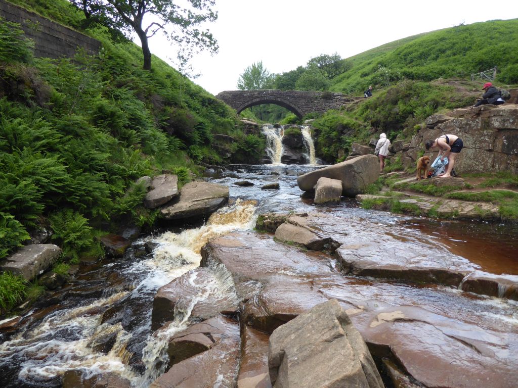
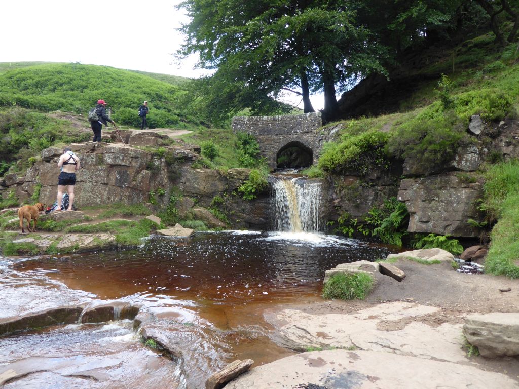
Three Shires Head was busy with swimmers, picnickers and dogs all taking advantage of the occasional sunshine to enjoy the great outdoors. While the walkers were enjoying whatever they had brought with them, the woman who asked for directions turned up and joined the swimmers in the river. Although she had a swimsuit with her, she just waded in the water for a while. When this entertainment ceased, the group packed up and set off on the rest of the route which happened to be in the opposite direction from the car park!
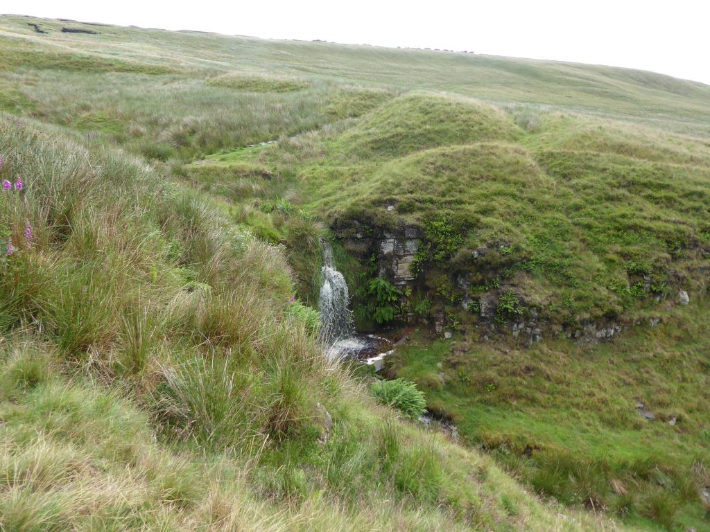
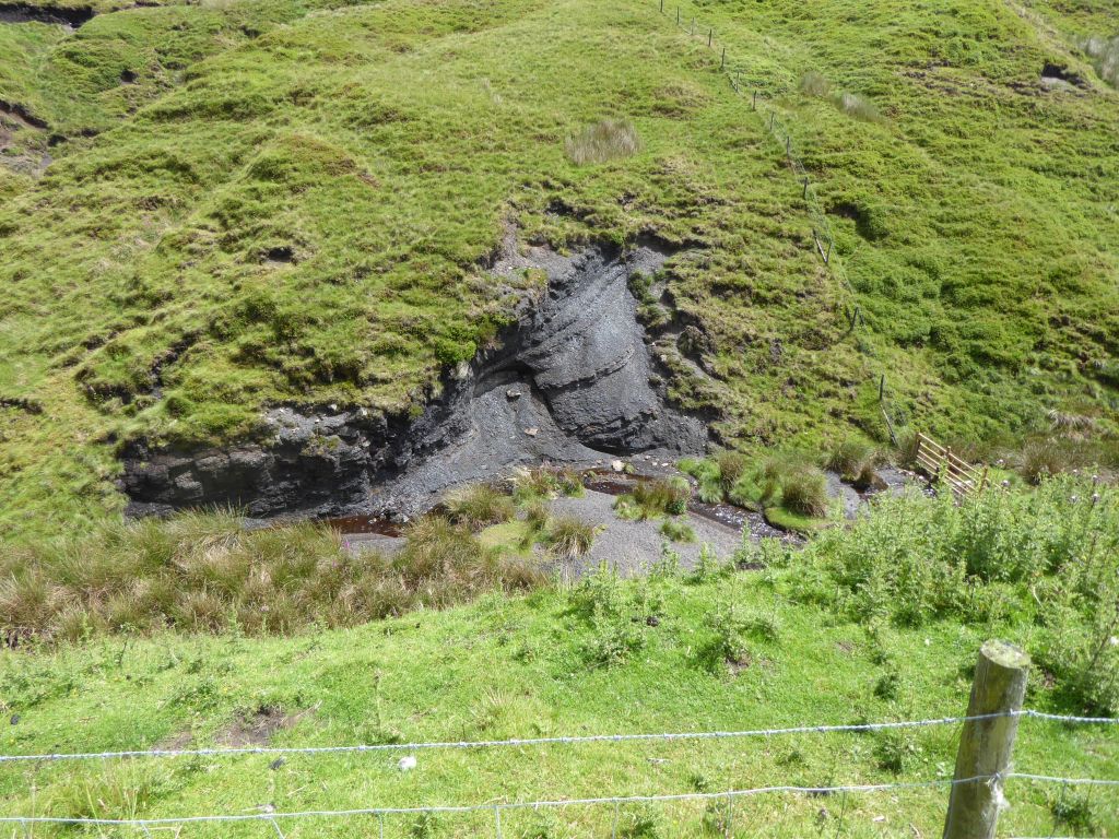
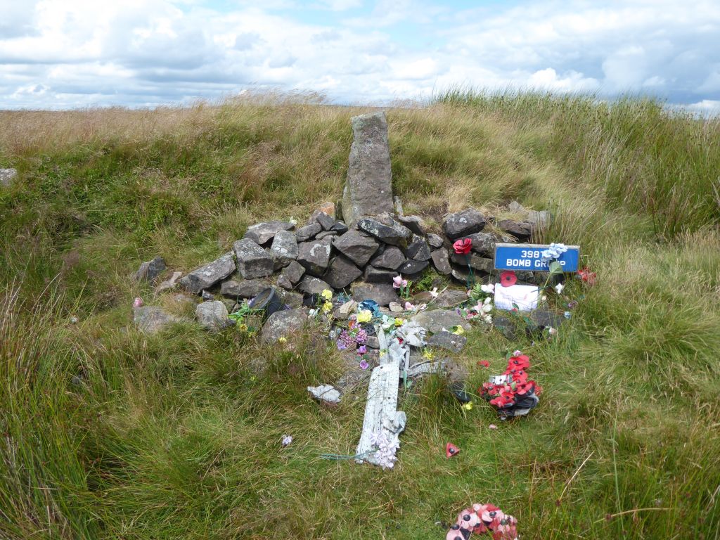
It is a pretty empty part of the world with nothing much to note except abandoned quarries and remote farms. To keep the group interested, the leader diverted up Birchenough Hill to the site where an American B-17 Fortress bomber crashed in January 1945.
1st Lt De Cleene and his crew from the 398th Bombardment Group were flying the new aircraft back to their home airfield in Hertfordshire and had taken off at 19:00. The weather was fairly good with about 2 miles visibility and broken cloud at 3,000 feet. However, it was dark and there was no snow lying on the ground. At about 19:25 local farmers heard the aircraft flying very low and shortly afterwards it flew into the western edge of Birchenough Hill, broke up across the hill and burned out. All five crew members died in the crash.
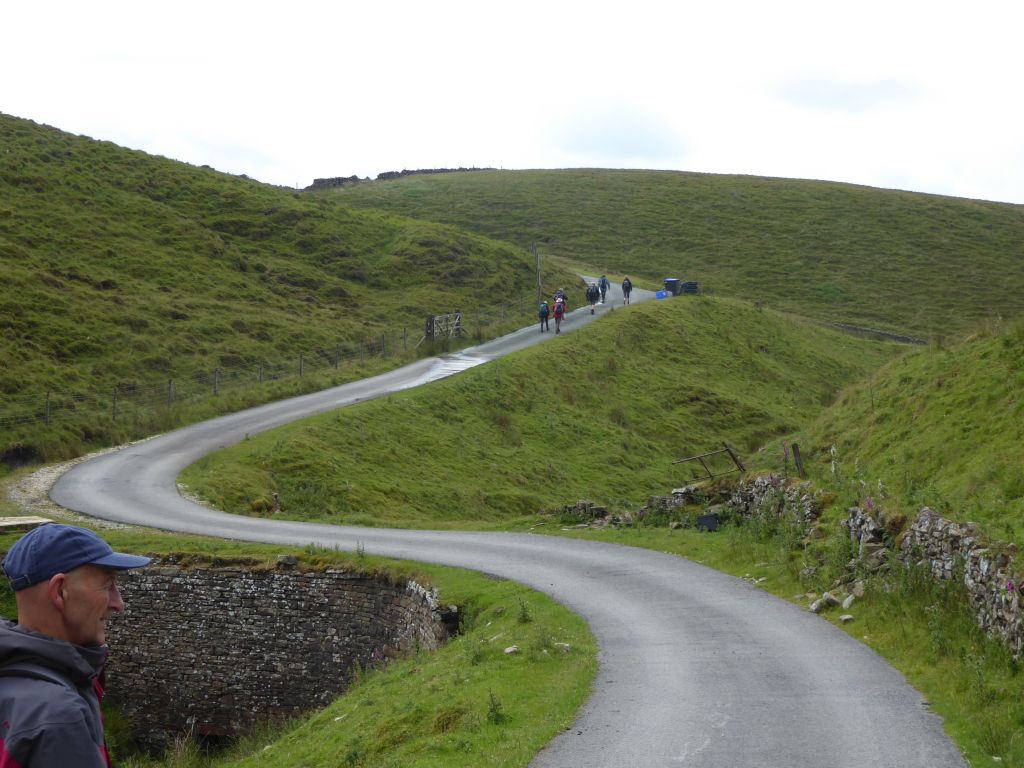
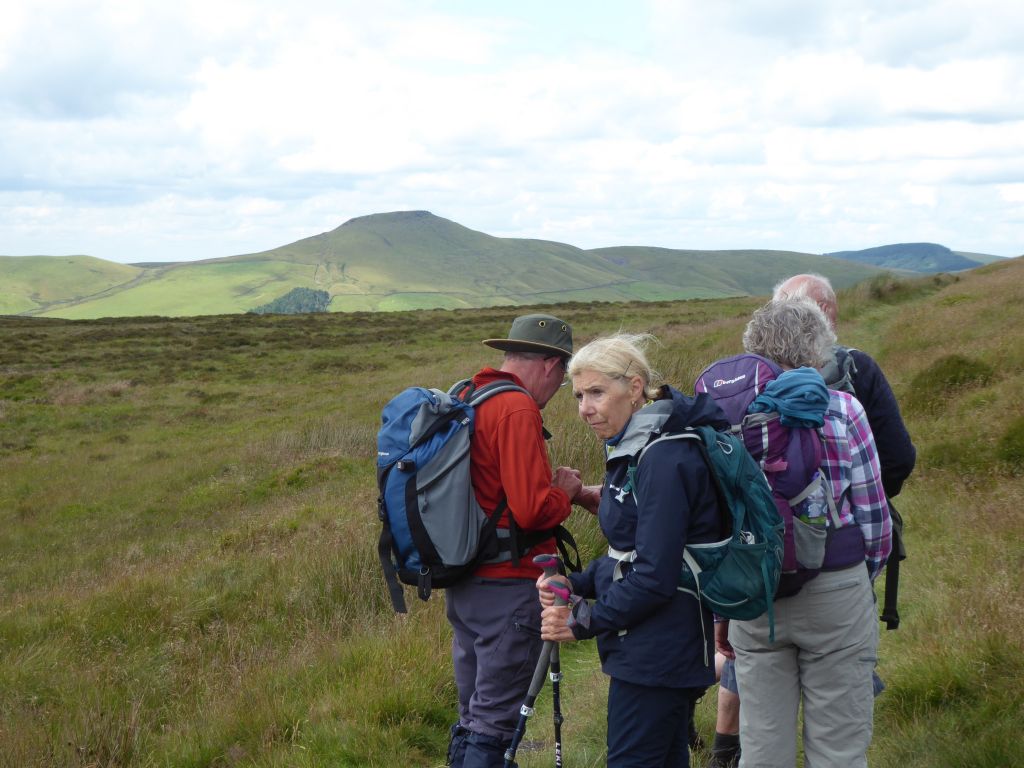
With Shutlingsloe in plain sight the journey back to Wildboarclough was a pleasant downhill prospect. However, when the group reached Crag Hall, the leader led the way in the opposite direction from the car park again! Crag Hall is a country house in Wildboarclough, which was was built in 1815 by George Palfreyman, the owner of a textile printing works nearby. It is a Grade II listed building and is not a home for wayward boys or girls.
The reason for the diversion was to make sure the walk extended for 11 miles and to include a path above the road through Wildboarclough to the car park. A breakaway group led by the back marker decided to stick to the road and reach the car park early. They were heartened when, on arrival at the car, a shower started and they were looking forward to sitting in the car feeling smug as the rest of the group rolled up wet. Sadly, the shower didn’t amount to much and the walk ended with everyone feeling satisfied that they had met the challenge.
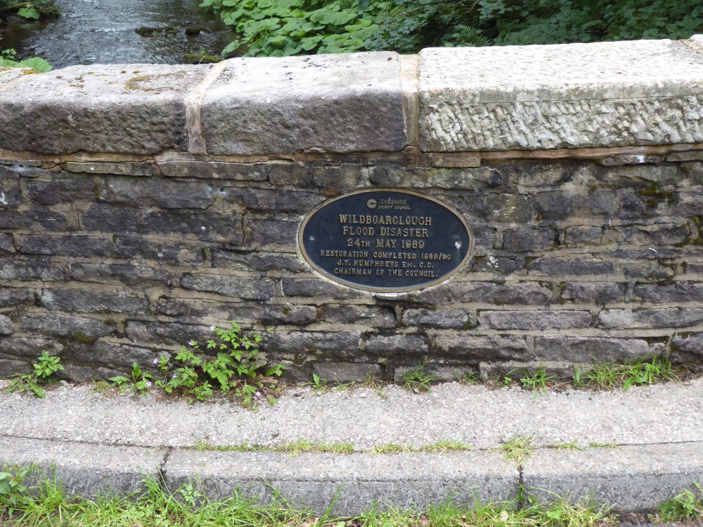
One fact that wasn’t obvious to the walkers is that the name of village from which they set off, has nothing to do with feral pigs. The name Wildboarclough was created in Olde English to mean “valley of the wild stream”. The wildness of Clough Brook which formed the Wildboarclough valley was demonstrated in the flood of 1989 when, according to the parish website “a tidal wave swept down the valley”. It took 6 months to repair the roads and bridges, but the chairman of Cheshire County Council made sure he was commemorated on a plaque. If you weren’t paying attention at the time, his name was J T Humphreys.
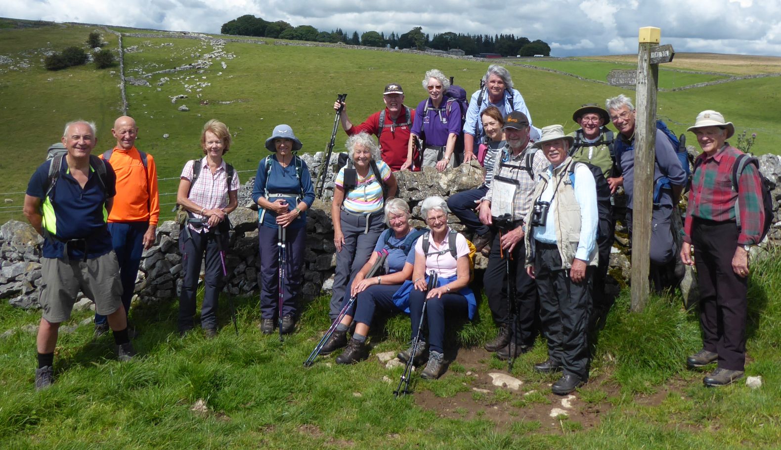
19 Jul 23 Longnor to Hartington Leader: Mike & Linda, Length of walk: 10 miles, Driving Distance: 22 miles, Number walking: 17
Start from SK17 0NT
Click here to see a map of the walk.
The weather forecast promised cloudy with occasional sun but little chance of rain. The actual weather followed this summer’s pattern of cloud and sun and occasional showers, enough to promote the wearing of waterproof gear, which is soon removed to cool down the wearer. The longest shower for this walk came at Hartington just after lunch and lasted for about a minute.
Unusually for this group, the route was not circular because the leaders had struggled to find a safe and accessible return route along the far side of the River Dove; the walk went from Longnor to Hartington and then returned on almost the same route. Things look so different when you walk the reverse route.
The road from Leek to Longnor was largely free of traffic but it did hold a major cause of delay in arriving – 230 cows were walking from the milking shed to the pasture just as the group’s cars wanted to use that stretch of road.
All the cars managed to squeeze on to the car park in Longnor market square. The café was still being refurbished but the toilets were providing a good service.
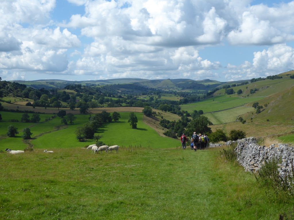
The first stage of the walk took the road up the hill out of Longnor and then a long downhill to Crowdecote (also Crowdicote) on the other side of the River Dove. The Crowdecote Wikipedia entry says: “It is thought that the name Crowdecote derives from Cruda’s Cot (Cruda was a Saxon landowner while ‘cot’ meant a form of shelter).” This means “we made up a plausible story”. It happens all the time on long walks.
At Crowdecote the route left the road to go over various fields alongside the Dove to Pilsbury Castle. The name forms from the Celtic pil, the Saxon bury and the Norman castel, all meaning “fortified site”. So good they named it three times! The site is notable now for having almost no flat ground. If 21st century archaeologists had not found foundations of the wooden walls, it would be hard to believe that a castle ever existed there. It did provide a suitable spot to have a coffee stop and Linda came round with delicious biscuits for the needy walkers.
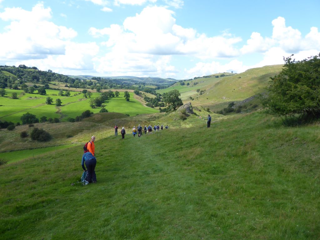
From Pilsbury Castle the route to Hartington can go immediately high or go low and then climb later. The leaders chose the latter option to take advantage of the tarmac road that climbs out of what would be the Pilsbury hamlet if anybody lived there.
On reaching the top of the road there were sparks of recognition as the aged walkers relived their memories of the last time the group came this way in October 2021. A heavy storm soaked the walkers then in a sudden blast of rain but there was no repetition on this trip.
Seats were available in Hartington for lunch and the group spread itself over the central square. After visits to the ice cream shop and the toilet, the walkers set off on the return route over the same ground. To give the impression that the route was novel, Mike insisted on checking the route every time he passed a signpost. The return route did deviate from the outward journey when Mike selected the high route down to Pilsbury Castle. This enabled him to spot the other group arriving at the castle and make plans to have the afternoon stop on the other side of it away from the other group. It was full of old people.
Having eaten all the biscuits Linda had made, the group was now ready to follow the path along the Dove and then climb up the road back into Longnor. It was so easy coming down the road in the morning when everyone was fresh!