6 Jul 2022 Staffordshire Limestone Leader: Stephen, Length of walk: 8.5 miles, Driving Distance: 25 miles, Number walking: 13
Start from What 3 Words ///publish.signal.sharpened Click here to see a map of the walk.
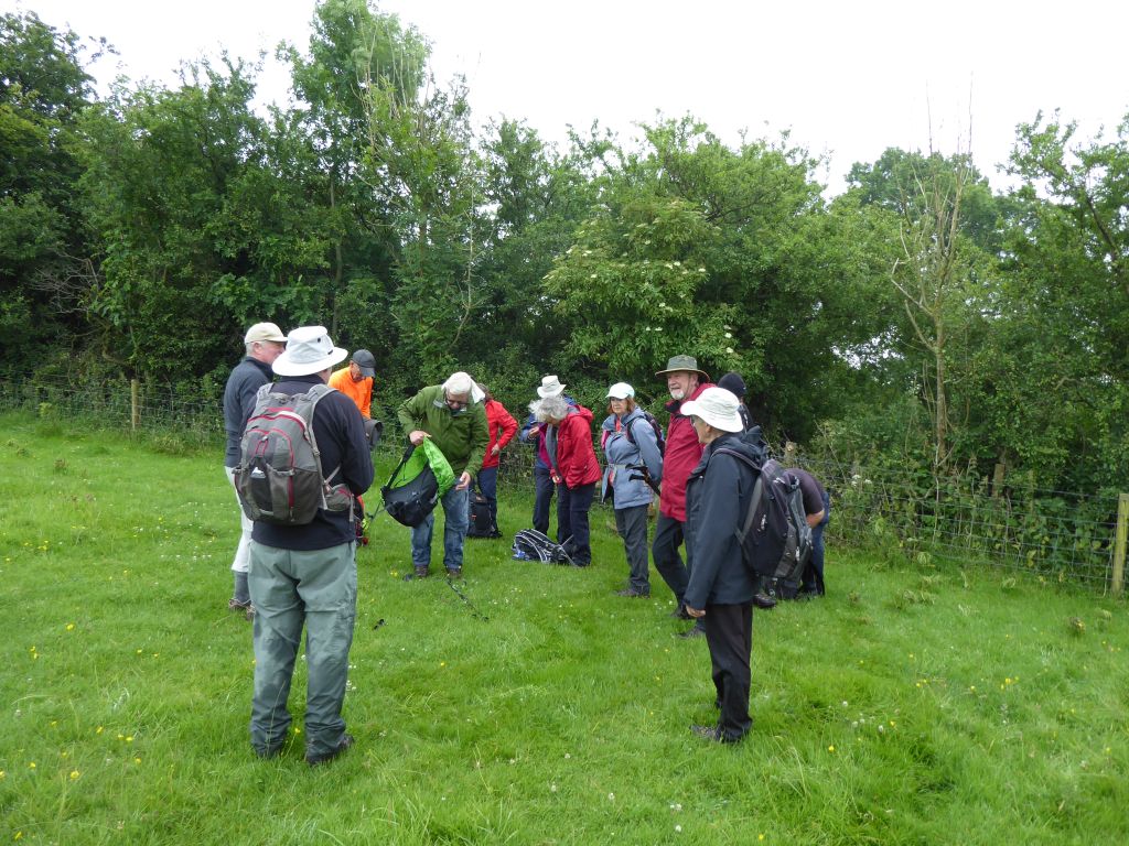
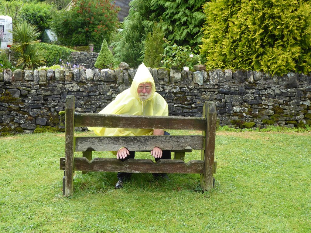
The weather was overcast as the group set off from the remains of Waterhouses station – now useful for its car park and toilet. The weather varied as the walk went on giving the walkers the opportunity to stop and put on waterproofs or take off layers as required.
The first port of call after leaving Waterhouses was Waterfall. With a name like that there is an expectation that the area will contain an impressive display of water rushing off a cliff. There is no such sight; the name derives from the fact that the river Hamps disappears below the riverbed. How many naïve tourists have been disappointed here?
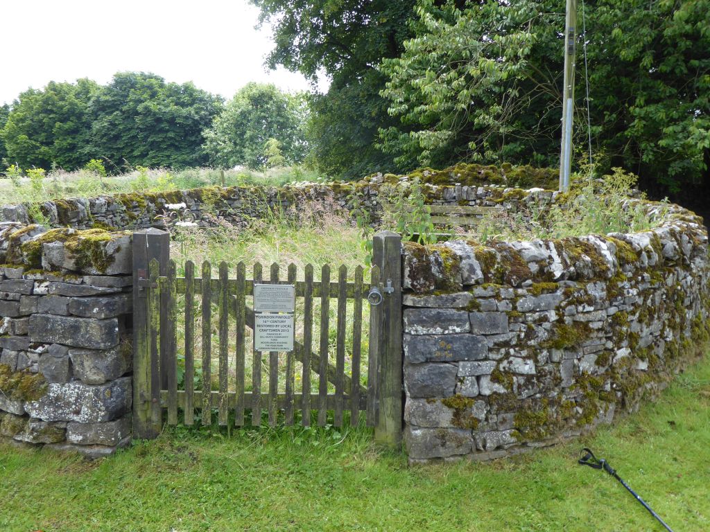
After refreshments in the churchyard, the group moved on to Grindon where the pinfold provides a tourist attraction of sorts. It was used before fields had hedges to keep straying animals until the owner could be contacted and fined for letting his beasts wander off. It has been restored by a community effort but it looks too small to contain many contemporary animals. In the Middle Ages farm animals must have been smaller.
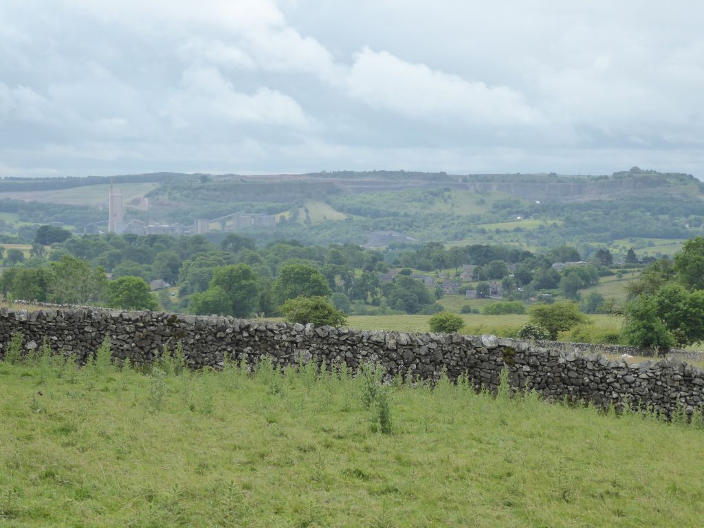
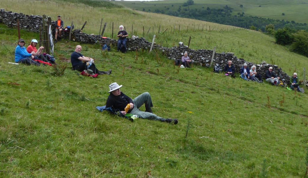
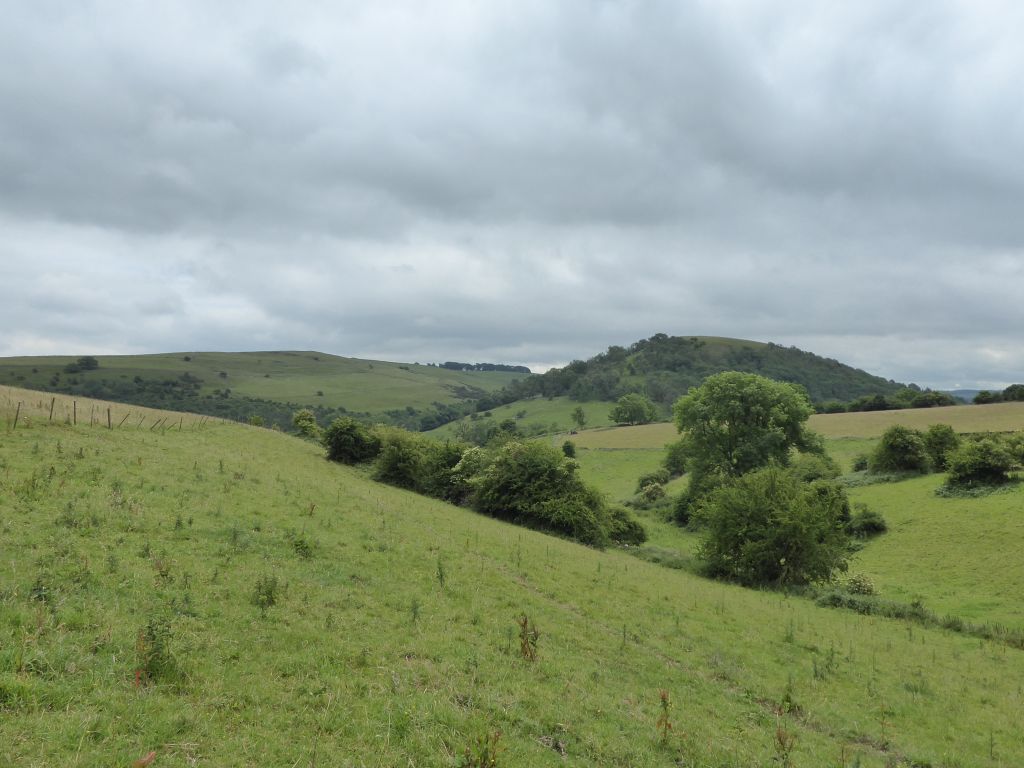
Lunch at 12:30 (well done Stephen) was on the side of a steeply sloping hill with views of some of the lumps for which Staffordshire is justly famous.
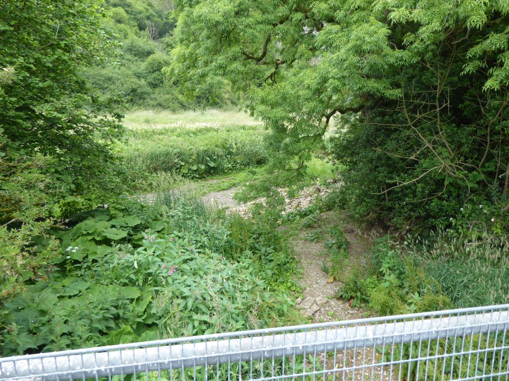
The leader led the group to the confluence of the River Manifold and River Hamps. What a disappointment! Both rivers choose to disappear into their beds and go on their way out of sight. Only after heavy rain do they rise up to appear as proper rivers. The final leg followed the Hamps Way – a walking route along the track of the 2 ft 6 inches narrow gauge railway from Waterhouses to Hulme End. This opened in 1904 and lasted until 1934 when the availability of motor vehicles meant that farmers could send their produce to market without having to cart it down to the railway at the bottom of the valley. The road crosses the River Hamps multiple times and the lush vegetation in the riverbed almost disguises the fact that the river is missing.
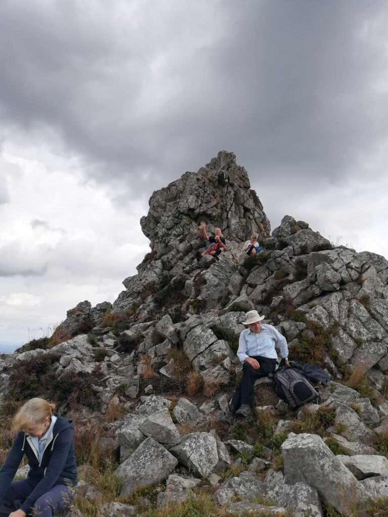
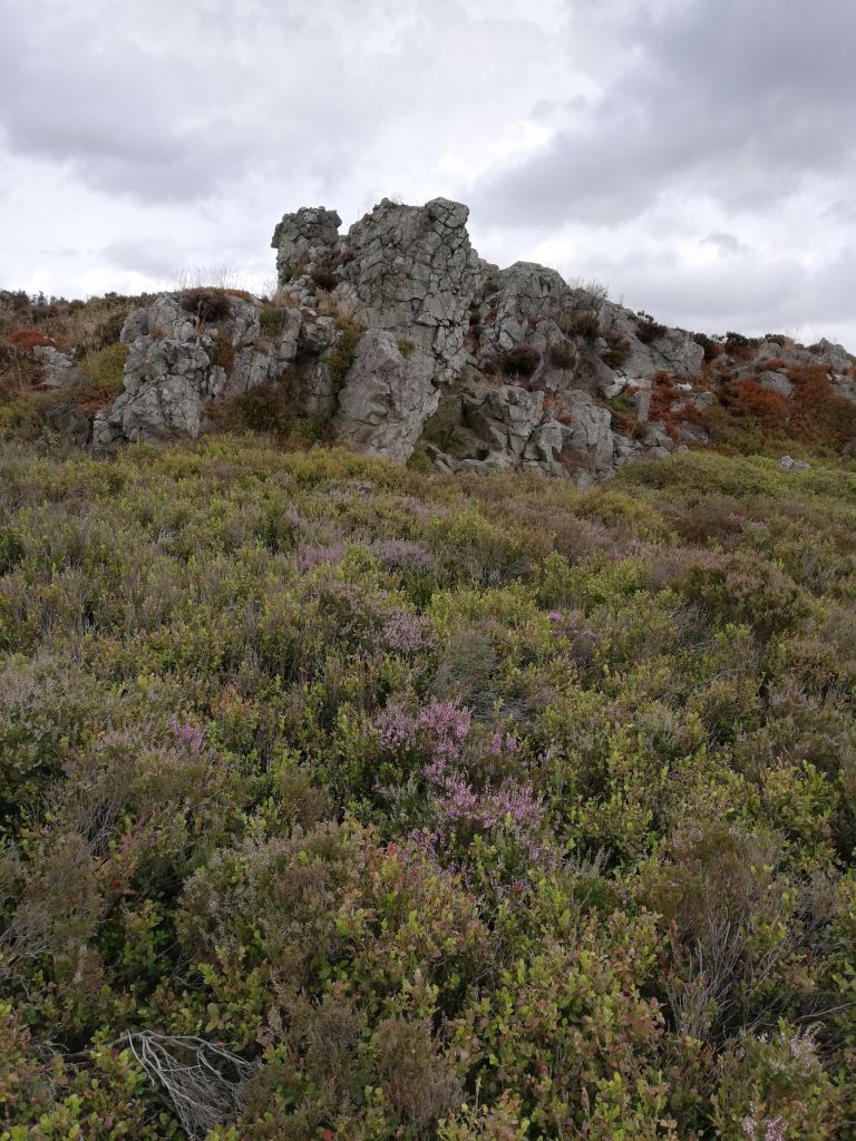
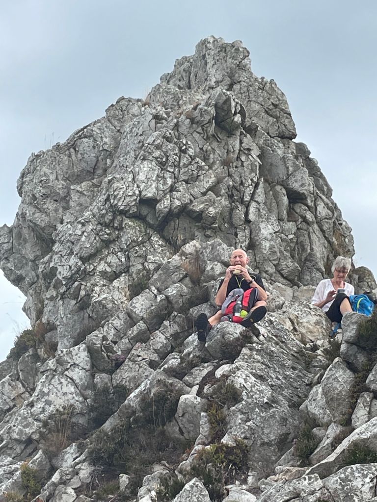
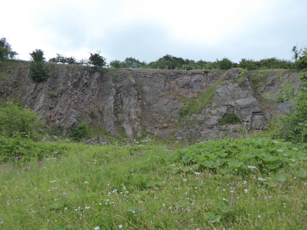
The final treat was a wander round Brown End quarry which demonstrates vertically folded sedimentary layers from way back. As well as rocks this also contains a wide variety of wild flowers to dazzle and confuse the walkers.
Anyone driving home and wondering why Winkhill was given that name would consult the internet to find it comes from the Old English meaning “hill at a bend in the river”.


20 Jul 2022 Kinder Scout Leader: Peter, Length of walk: 8.6 miles, Driving Distance: 35 miles, Number walking: 9
Start from What 3 Words ///native.eased.riddle
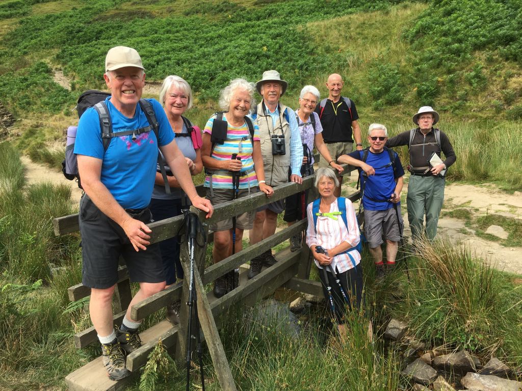
A small group of elite walkers gathered in the cool of the morning after ‘the hottest day in history’. Where was everyone else, we wondered? Maybe they were exhausted by the tropical heat. Maybe the strenuous nature of the walk, and the dire warnings issued by the leader, had deterred them. Whatever the reason, just 9 intrepid walkers set out from the free roadside parking at Bowden Bridge for an adventure on the hills.
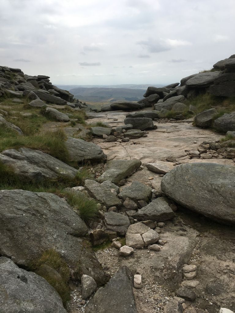
Several walkers noted the contrast between conditions on this walk and the previous time the group went up Kinder Scout (reputed to be ‘the wettest walk in history’). The Kinder reservoir was very low, revealing extensive mud flats. The William Clough was little more than damp (although it was just as steep as expected), and the Pennine Way path was dry underfoot. Most amazing of all, the Kinder downfall wasn’t. The river was dry, the falls non-existent.
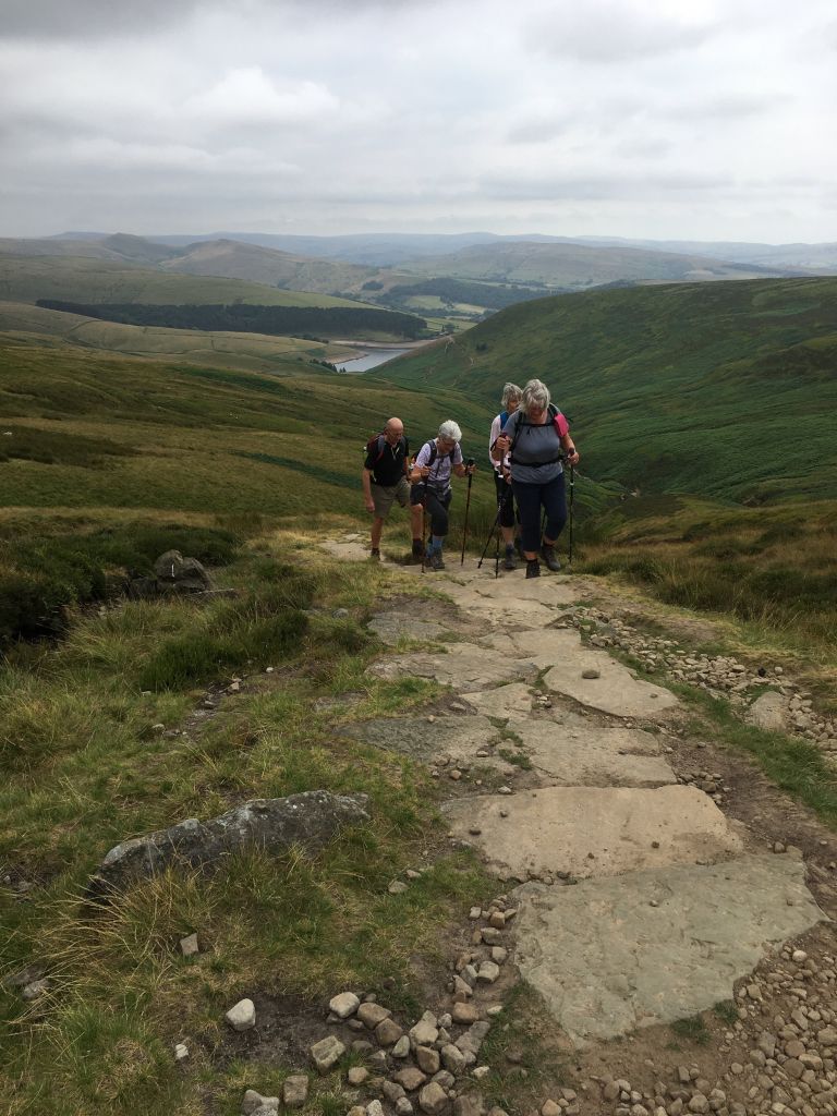
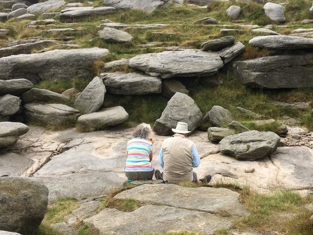
Some walkers questioned the timing of breaks (nothing new there). The coffee break at the top of the steps offered a little relief after the arduous climb, and the Kinder plateau was achieved in style, the walk leader powering to the top (maybe for a longer rest). The lunch break was taken at the Kinder downfall (late, but nowhere near as late as ‘the latest lunch in history’).
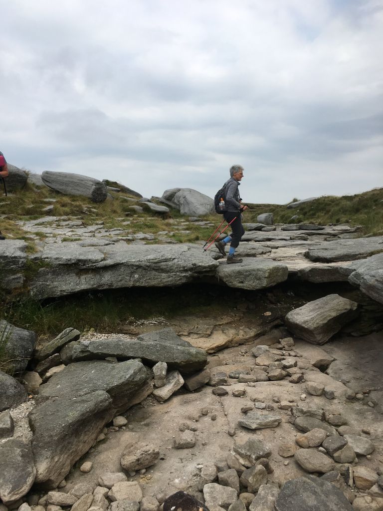
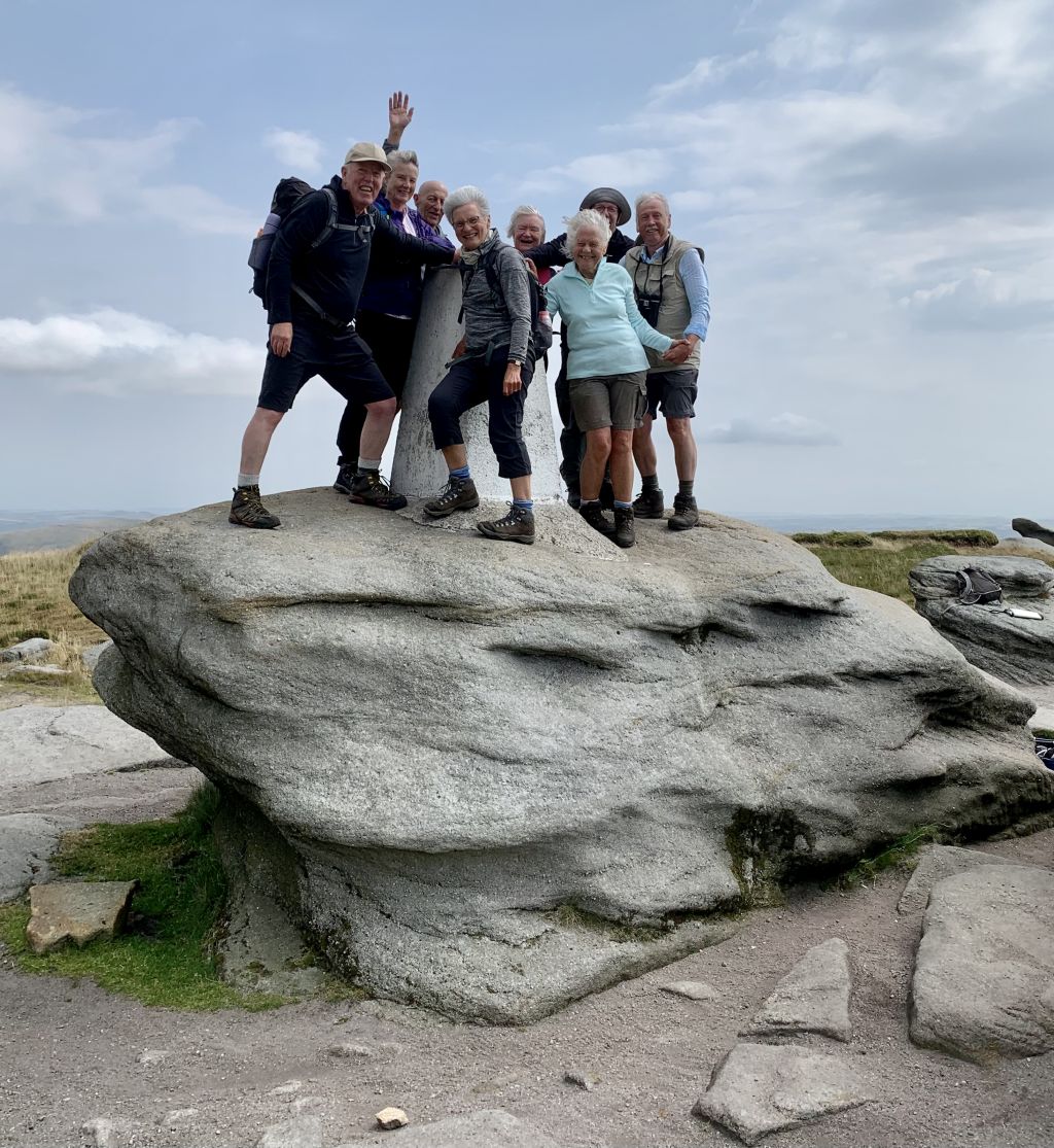
The wind picked up, but the day stayed dry, the conditions perfect for walking on the high moors. The group arrived at Kinder Low in fine style, and clambered up a smooth rock to embrace the triangulation pillar, and to try to increase their height gain to a round 2000 feet. Apparently, no-one had thought to conduct a risk assessment of this activity, and getting down again, although completed without serious injury, was a worrying moment.
The descent took us past Edale Cross (mediaeval, but no serious competition for the Sandbach Saxon ones), and across several grassy fields, which provided welcome relief from the stony ground. The general opinion was that the walk was longer than advertised, the climbs were harder than anticipated, the views were spectacular, and that Kath’s birthday cookies were ‘the best cookies in history’.
27 Jul 2022 Stiperstones and Snailbeach Leader: Stephen, Length of walk: 8.5 miles, Driving Distance: 55 miles, Number walking: 9
Start from What 3 Words ///crank.snitch.moisture Click here to see a map of the walk.
Nine walkers met at an obscure car park used mainly by mountain bikers tackling routes over the hilly terrain of Eastridge Wood near Pontesbury. Crossing the fields, the group was kept under observation by a small flock of vultures (or maybe buzzards) eying up a sadly deceased lamb, possibly felled by a metal gate which also collapsed onto the group, or more likely due to a dog or fox. Although the leader confessed to getting lost on the recce trying to find the correct path through the bracken up to the Stiperstones Ridge, the coffee stop was correctly located for the first of many opportunities for extensive views across the Shropshire Hills Area of Outstanding Natural Beauty to the horizon and beyond.
The Stiperstones Way climbed steadily up to the summit at Devil’s Chair (approx. 1600 ft, the second highest peak in Shropshire) where we enjoyed lunch and views, sitting on a tropical beach which formed the coastline of England 500 million years ago, but now a little chillier. There was no sign of the ghost of Wild Edric, a Saxon earl whose lands were confiscated in 1066 and who successfully defied the Normans for a time and who now rides the hills whenever England is threatened by invasion. There were several other walkers, not invaders, two of whom shared our lunch site for only a few minutes in case they caught our germs which were spreading in the breeze.
A steep descent brought the group down to the village of Stiperstones, the village shop (ice creams) and the village pub (for whatever the drinkers drink).
The easier route to Snailbeach would have been to follow the road, but the safer alternative was along a footpath around the steep side of the hill, though woods and bracken with only a couple of short steep bits.
Snailbeach is famous for its former lead (and zinc) mine, worked from Roman times up to 1955. Although a local resident claimed that the Romans collected snails from the beach in the stream, the name is probably derived (like Sandbach) from beck, and perhaps from the German word schnell meaning fast. Some members of the group went in search of specimens of the mineral barite, which as the name suggests, is a heavy mineral (used in oils wells and paint).
In order to finish the walk with a downhill stretch to the car park, the group had first to negotiate a steep country lane, which they did without too many complaints, except from Chris who had collected a small rucksack-full of barite to distribute to her grandchildren to stimulate their interest in mineralogy. Our new member, Rob, being about half the average age of the group, managed the climb in half the average time.