
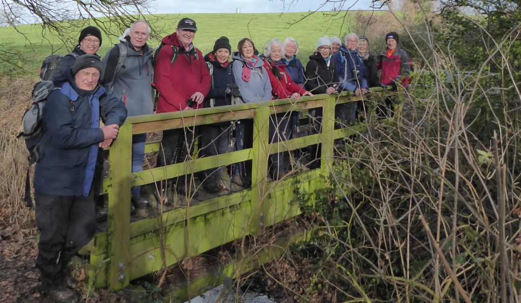
01 Feb 2023 Sandbach Leaders: Kath & Dave, Length of walk: 10 miles, Driving Distance: 0 miles, Number walking: 14
Start from Lower Waitrose car park
Click here to see a map of the walk.
The leaders kindly stepped in at the last minute with a 10 mile walk to keep the walkers on their toes. In some places they had to walk on their toes to avoid the recently spread muck that covered a number of fields on the route. Don’t wash the boots in the kitchen sink.
Leaving the lower Waitrose car park to cross the A534 posed the first challenge but the driver of an M&S truck demonstrated outstanding public service by stopping to let the group across. After crossing Willis’s field, the sight of the empty yard came as a shock; it has been full of drainage equipment that has gone somewhere else. The empty space made people wonder if another attempt to develop the area as housing is about to emerge. It has been a recurring feature for some years.
The path past Tall Chimneys took the group to the potholed mud bath known as Stannerhouse Lane. It looks like a road on the map but don’t take a car down there; you will regret it.
A stretch on the canal led to Malkins Bank golf course and Jubilee Villas on the far side. The historians on the walk discussed which Jubilee gave its name to the development and decided that George V was the most likely candidate for naming rights in his 25th year in 1935. Unfortunately, this assessment was undermined by an estate agent’s description of number 4 as built in 1956. Please put forward any suggestions that might explain the naming.
Without any distractions from the free-range children of Jacob’s Cottage, the walkers came together again as they waited to climb the ladder and set off over the field to find some serious mud. A low-lying stile provided a generous dose of mud and the usual antics to find soft ground on the approach.
While keeping a safe distance from Wheelock Heath, the route led into Winterley, where the benches by the pool provided a relaxing site for lunch. Afterwards a quick exit from Winterley gave the group another chance to risk life and limb crossing the A534 Haslington Bypass. This time nobody stopped to allow the group to cross, and it took some considerable time for a space to open up for the last walkers to cross safely.
The next few fields had been liberally dosed with slurry from nearby dairy farms and thoughts turned to puddles that might wash the boots. Unfortunately, the puddle that appeared completely blocked the path and was deep enough to wash trousers as well. A retreat to a path across more slurried fields brought the group to Clay Lane, where Mike, drawing on his historical knowledge pointed out a “square arch” into a farmyard. It must have been Roman; the Greeks didn’t use arches.
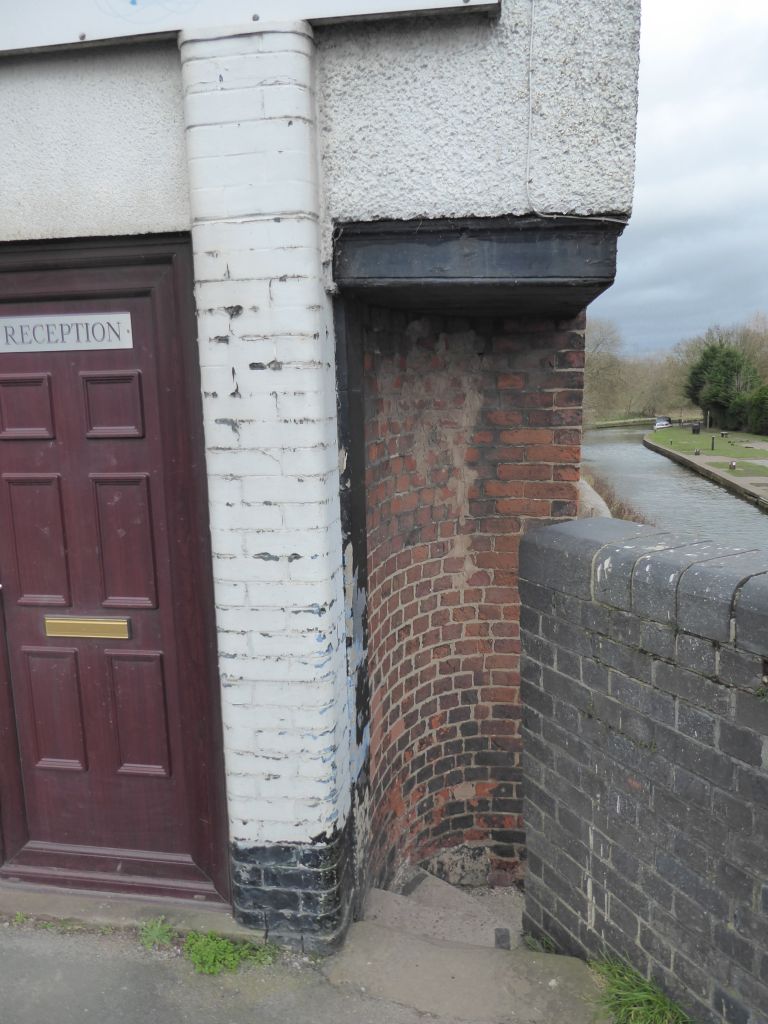
A stroll along the lane led to the main West Coast rail line, where the route led through Fields Farm to the path along the River Wheelock. After reaching the road through Wheelock village, the route took to the canal through an entrance carved out of the corner of a building and sought more mud along the side of the brook that flows through Sandbach.
After a pause to look for the resident kingfisher at the mill, the group climbed Mill Hill Lane and used the ginnel to reach Coronation Crescent. The leader then turned right to enter Coronation Wood, while a rebel group led by the back marker took a short cut and waited for the rest at the entrance to Brook Wood. Thus reunited, the party made its way back to the car park.
15 Feb 2023 Hen Cloud and Tittesworth Reservoir Leader: Stephen, Length of walk: Forecast 7 miles actual 10.5 miles, Driving Distance: 18 miles, Number walking: 19
Start from What 3 Words ///ideal.vowed.disengage postcode ST13 8SN
This walk is led by Stephen so come prepared for febrile February weather. It is an extension of the walk along the Roches from last Autumn.
Part 1
Starting from Tittesworth Reservoir, the main ascent of the day takes us across fields to Upper Hulme and up around the back of Hen Cloud to the summit (coffee and views). The descent is steep and rocky at first, and then a gentle walk across the fields to Meerbrook.
Part 2
A gentle climb from Meerbrook up the low hills to the west of the reservoir brings views of the Roches, followed by an undulating descent to the reservoir’s dam. The final two miles follow the round-the-lake trail back to the visitor centre.
A relatively short seven miles compensates for the height of Hen Cloud (approx. 410 metres). Conditions underfoot are generally good – fields, tracks, paths but rocky around Hen Cloud. Expect some winter wetness, a modicum of mud/manure and several Staffordshire stiles in the middle part of the route.
Car parking at the Tittesworth Reservoir – £5.00 (cash or card)