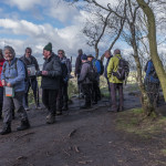
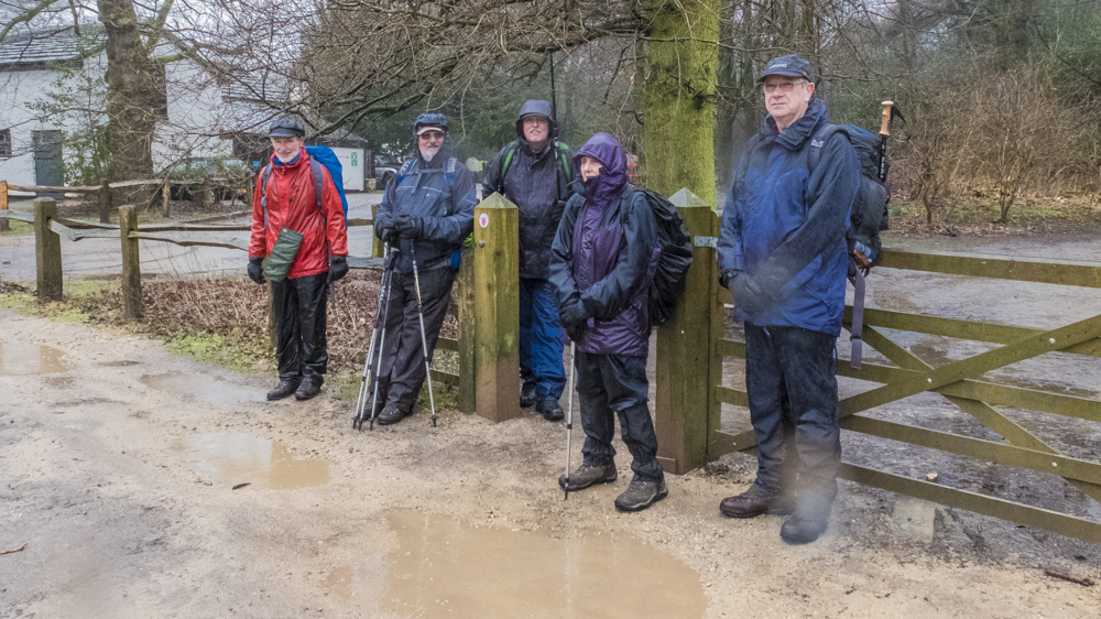
17 Feb Walk Leader: Keith Haines Alderley Edge
Length of walk: 8 miles Distance to Start of Walk: 15 miles Number walking: 15
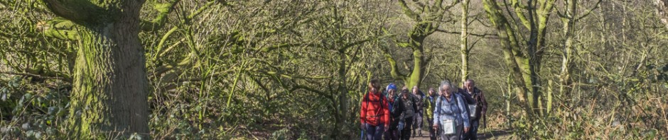
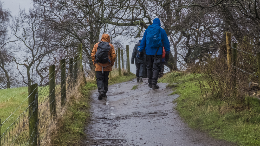
The best thing to say about the weather is “it could have been worse”. It was cold and it rained constantly throughout the walk, but it wasn’t windy, the rain was light and we didn’t go through deep mud.
The people of Alderley Edge celebrated the arrival of 15 soggy pensioners by keeping out of sight so we disappeared up a lane to pass Chorley Old Hall, the oldest inhabited country house in Cheshire. It was originally built in the 14th century but the various owning families have spent a bit of money on it since then. It is a grade II listed building and a scheduled ancient monument.
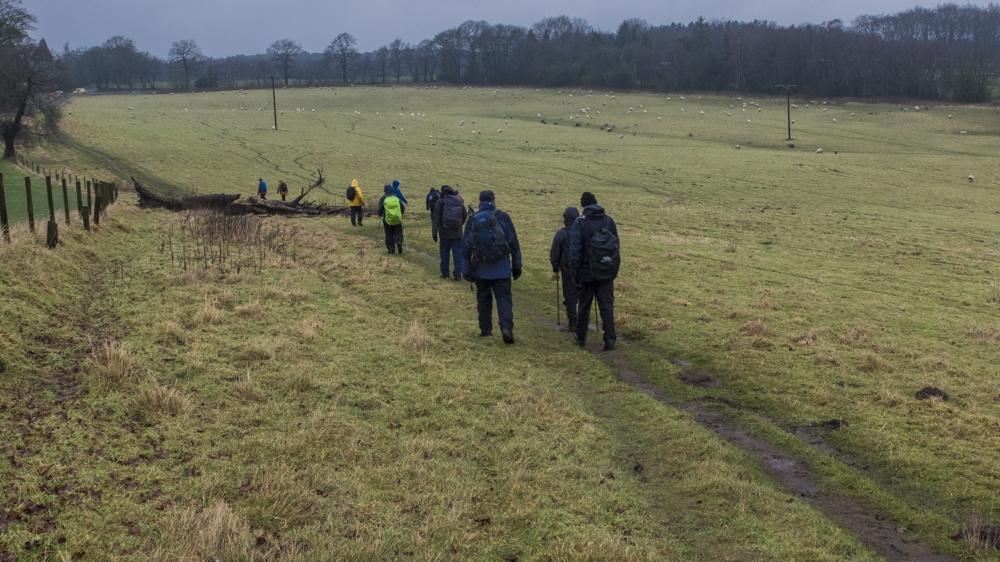
After the Old Hall the path went through various fields, some with this year’s lambs, until we reached the churchyard of St Mary’s Church. We were lucky enough to find the church open and the cleaners said we could have a quick look inside. It was unfortunate that the floor was carpeted and the day was wet; the cleaners followed us closely with vacuum cleaners until we took the hint. We gave a cursory glance towards the old schoolhouse and the Stanley family mausoleum (built 1909) but we didn’t see the crypt under the chancel. It had been known that under the church was a vault containing the remains of some members of the Stanley family but its whereabouts were unknown until 2007. A stone slab was removed exposing steps leading to the crypt which contained six coffins, four of which contained the bodies of the first and second Lords Stanley and their wives. Not a lot of people know that.
We pressed on past Nether Alderley Mill, a 16th century mill restored and maintained by the National Trust. The rear wall of the mill forms the dam for the lake supplying the water for the mill; this also acts as a moat for Alderley Old Hall. The water drives two overshot wheels of four metres diameter but it doesn’t open until April so we missed them as well. We passed Alderley Old Hall without realising that in 2011 the owner committed suicide in the barn after an armed robbery and financial pressures.
A long cobbled track took us away from the main road to a soggy woodland where we stopped for a drink. Our next treat was a massive house under construction in full view of the path until the hedge grows. A workman revealed that the owner was a businessman who had sold part of his firm and invested in his dream home. Our informant declined to conduct us on a tour.
On the next stage we should have ploughed through deep mud in Findlow Wood but our leader had a cunning plan that involved climbing through a wire fence and striking a new path through the wood until we reached the Macclesfield Road. We crossed this towards Adders Moss and met a group of walkers from Congleton U3A, most of whom carried umbrellas in the hope of being admitted to a teashop later.
There were no convenient teashops for our lunch so we trekked up Daniel Hill, where felled trees were made available as seats After lunch we made our way to the Wizard pub and the toilets in the adjacent car park. The hand dryer gave us the only opportunity during the walk to have dry hands. The feeling didn’t last.
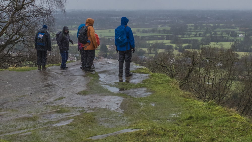
While walking along the Edge we passed Engine Vein mine but the surface remains give no indication of the massive chambers dug underground for metal ore since the Bronze Age up to the 19th century. The next attraction was the Armada Beacon, which was constructed on top of a Bronze Age barrow. It is alleged that on this vantage point a fire was lit to tell the good folk of Cheshire to leap into action when the Spanish Armada was sighted. Many people actually believe this story.
From this high point we took the path downhill past the Wizard’s Well (a natural spring), which is decorated by a carving of the wizard and an inscription, which reads ‘Drink of this and take thy fill for the water falls by the Wizhard’s will’. Perhaps the wizard will lead his horsemen out of their cave to produce the correct result in the EU referendum in June.
The last stage of the walk passed many large houses protected from the gaze of us common oiks by long drives and tall walls. We pretended not to be impressed.
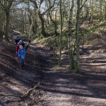
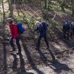
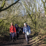
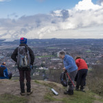
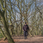
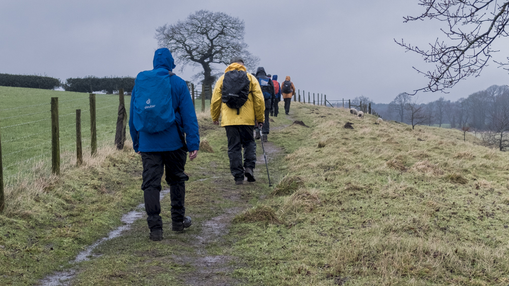
The pictures tell the story of our sodden condition.


24 Feb Walk Leaders: Kath Millington & Elaine Gibbons Frodsham & Helsby
Length of walk: 7 miles Distance to Start of Walk: 34 miles Number walking: 16
A splendid walk, and after last week, nigh perfect weather (for February) to undertake it!
Having congregated at Helsby Quarry, any residual stiffness from the journey was immediately remedied by a moderately adjacent climb to the summit of Simmonds Hill – at which point our two leading ladies allowed a brief respite, during which the geriatrics at the back could resume breathing.
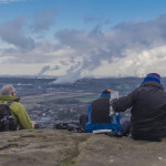
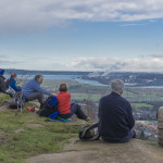
There followed a wonderful peregrination on or around the Sandstone Trail and North Cheshire Way – taking in Frodsham (Beacon) and Helsby Hills, plus all things in between. The weather allowed great views across the MSC and the Wirral, with Liverpool Metropolitan Cathedral, Runcorn Bridge, John Lennon Airport and an assortment of power stations all clearly visible. Looking to the west, the hills of North Wales offered a tempting vision of what might be undertaken in the future.
Unfortunately, the Helter-Skelter disappeared about 50 years ago – thus preventing the party from taking their coir mats up the stairs and having a spiralling slide, offering fleeting glimpses of the aforementioned views. Nonetheless, the summits and all the bits in between, enabled a few hours to be spent in excellent walking country – thanks to the efforts of our two leaders, Kath and Elaine.