
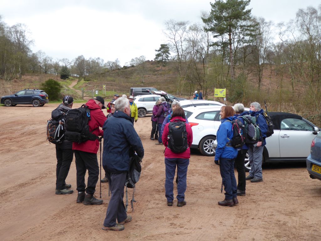
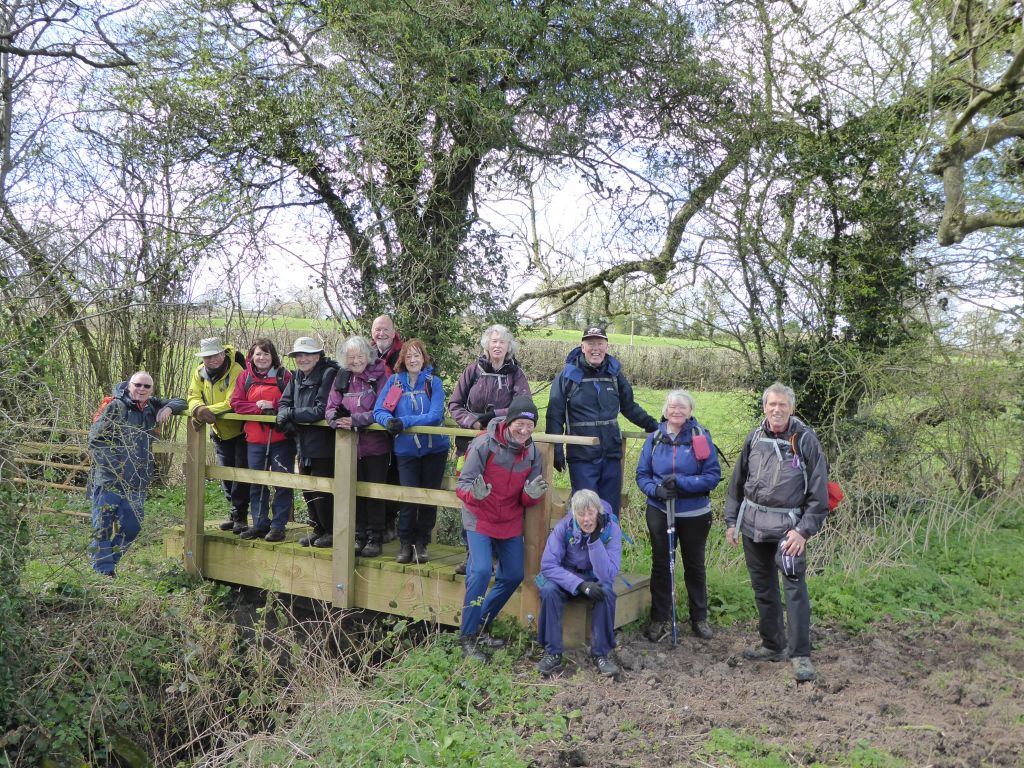
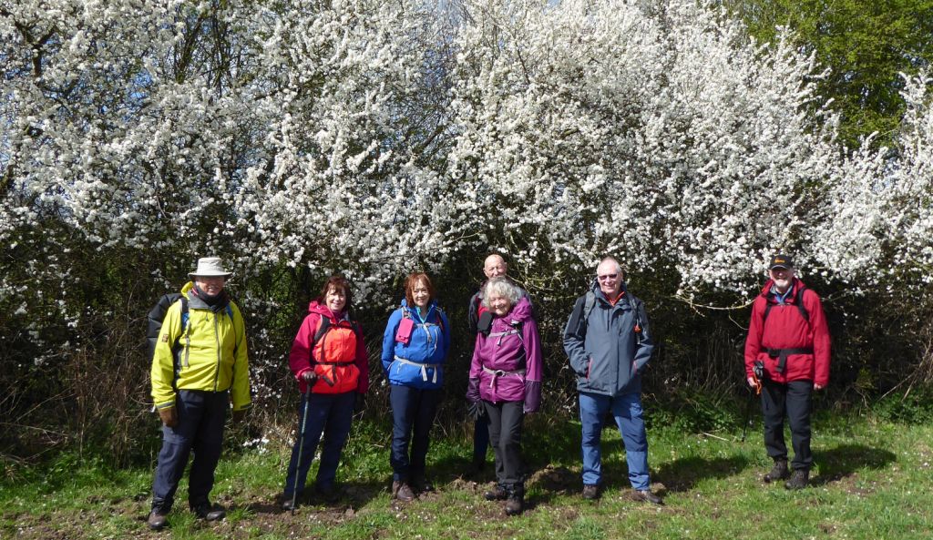
6 Apr 2022 Bickerton Cholmondeley Leaders: John & Doreen, Length of walk: 10 miles, Driving Distance: 20 miles, Number walking: 15
Click here to see a map of the walk
The walk started from Bickerton at the same time as the rain and the walkers continued to get wet until after the coffee stop. It was a wonder the back marker even started at all; as he opened the back of his car to extract his boot bag, he realised that the bag was still in his garage. Fortunately, big-hearted Mike Beck handed over his driving shoes and the back marker did the walk in those. Asked about the comfort level, he described it as adequate. Fortunately, Mike is still able to wear his shoes.
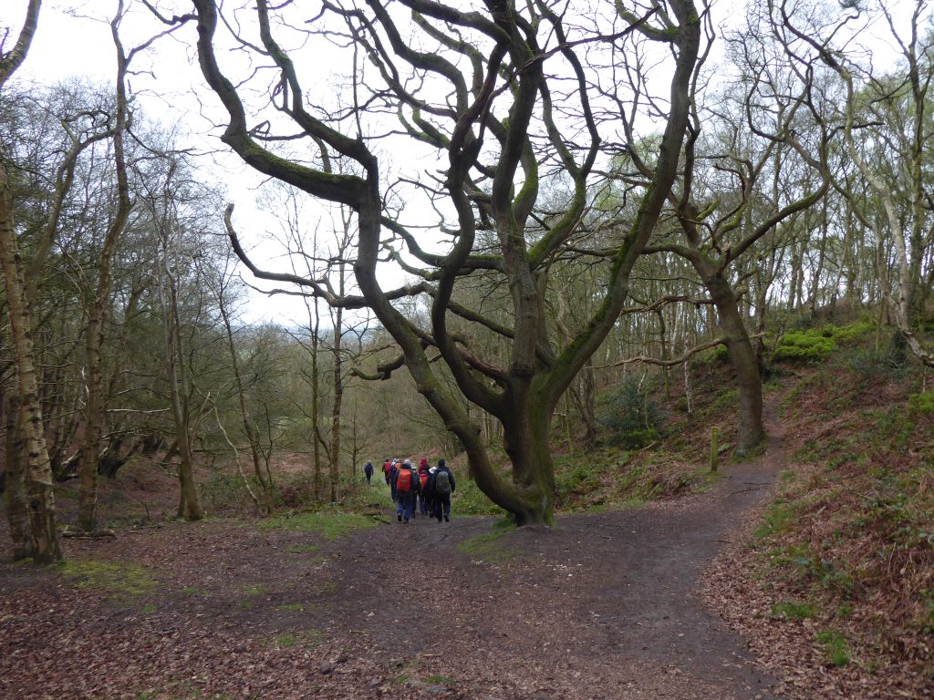
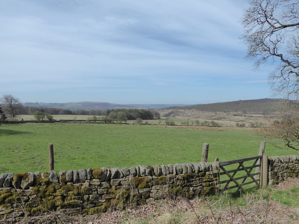
Bickerton Hill is maintained by the National Trust as a prime example of lowland heath. This is an environment that has arisen over centuries of land management by grazing animals nibbling any tree shoots that sprung up. However lowland heath areas were threatened after WWII, when farming methods changed, and the animals were moved elsewhere. The heath was then overtaken by that pernicious weed Silver Birch. The National Trust is dedicated to removing the tree cover and allowing the bilberry and heather to flourish again. There are still lots of silver birch trees plaguing the site though.
Next to Bickerton Hill is Maiden Castle, one of the seven Iron Age forts in Cheshire. Apart from it being a fort from the Iron Age, there is not much that can be said about the site and the leader didn’t mention it at all. Another nearby feature that wasn’t mentioned was Mad Allen’s Hole. This is a cave in which a young man went to live as a hermit after his parents denied him the chance to marry the girl he loved. His name was John Harris, which shows how unimportant spelling was in olden days.
The area covered by the route of the walk contains few people who live in mostly large houses. This meant that there were lots of envious glances, particularly at Michael Owen’s Manor House Stables. They wouldn’t be so attractive when the fuel bills are considered.
A big house that was nearby but unseen was Cholmondeley Castle. The leader chose this as the lunch spot after he discovered that his first choice was occupied by a fertiliser spreader. The move to the back door of the castle was a good idea because the grass was mown and there were a few features to sit against. The walkers were not invited in by a generous aristocrat because there aren’t any aristocrats living there, generous or otherwise. The Marquess of Cholmondeley lives at Houghton Hall in Norfolk. This was built for Britain’s first prime minister – Sir Robert Walpole, and passed to the Cholmondeley family in 1797. The Marquess’s mother Lavinia lived at Cholmondeley Castle until her death in 2015. That’s a distinctly aristocratic name; it’s unlikely a Marquess’s mother would ever be called Mavis.
On the last leg of the walk, the group came across Gallantry Bank. The internet says that this was originally called Gallows’ Tree Bank. The body of a local man named Holford hung for stabbing a rival was gibbeted here in 1640. It seems unlikely that the area would be named after a tree, but there is not much else going on there.


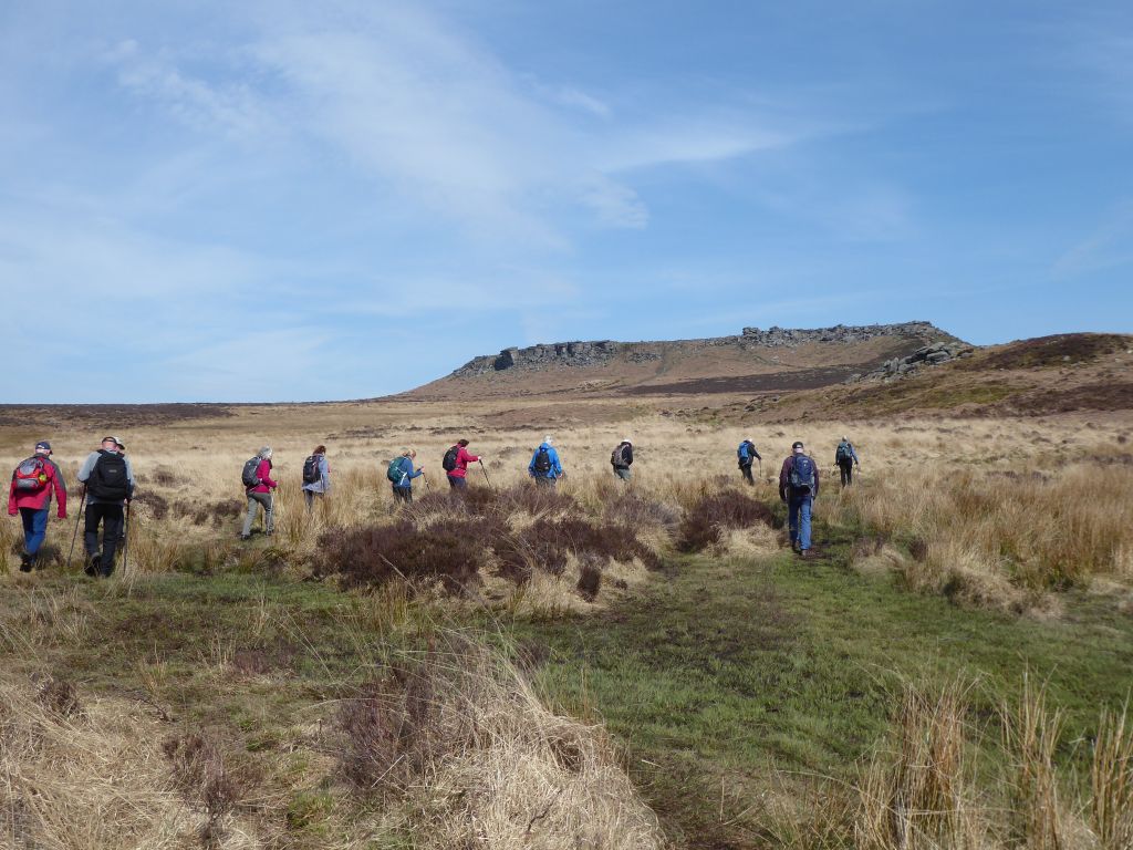
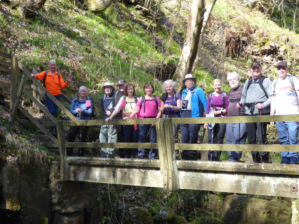
20 Apr 2022 Hathersage & Grindleford Leaders: Bill & Ruth, Length of walk: 9 miles, Driving Distance: 45 miles, Number walking: 13
The weather was sunny but the cool wind on the high ground kept layers in place. Some disrobed as the route moved down to lower ground in the Derwent valley.
The starting point was the car park of the National Trust Longshaw Estate, where the Duke of Rutland indulged his passion for killing things in the 19th century. On the walk, the only animals that might have been hunted were dogs, but that is an unlikely target for a duke.
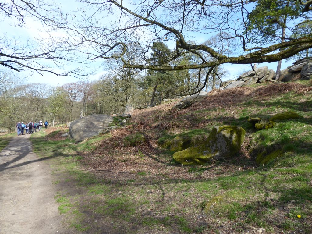
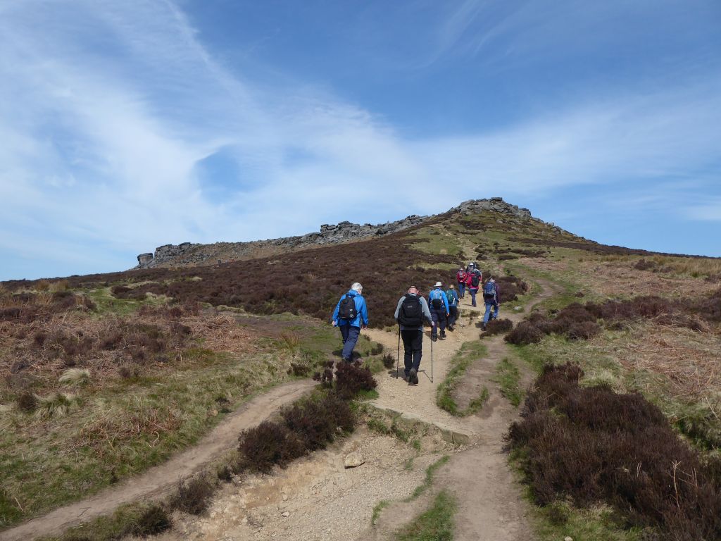
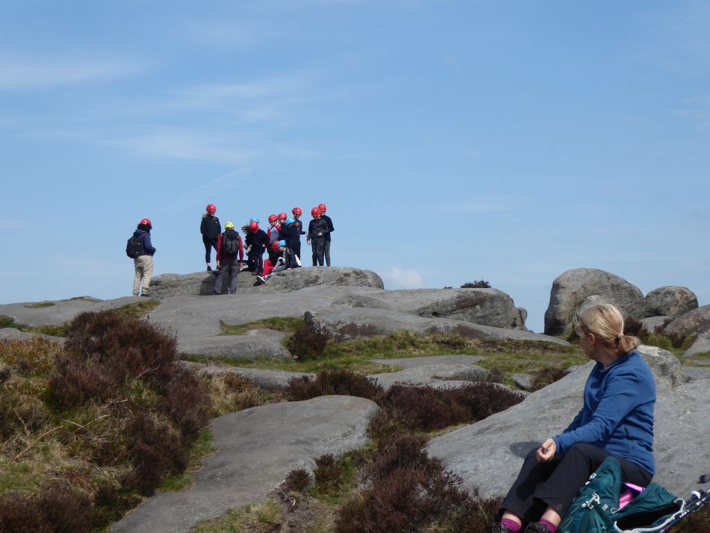
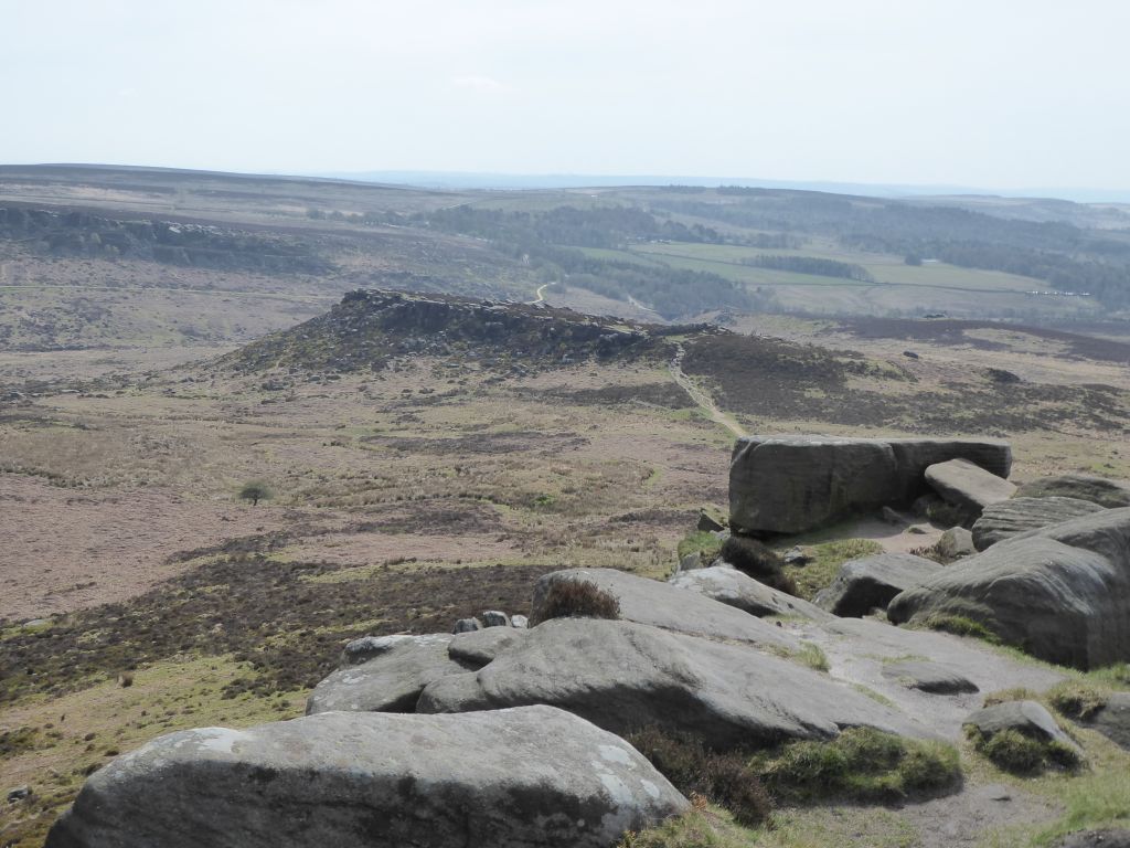
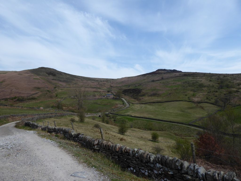
The first feature of note was Carl Wark described as an Iron Age fort. The truth is that it is very old, but nobody knows what it was for or when it was used. Three of the sides are steep rock faces but somebody built a masonry wall on the western edge to reinforce the gentle slope there. Nobody knows who built the wall or when. The group passed it by and climbed on to HIgger Tor, where they rested on the boulders for a coffee stop. A group of children togged in safety helmets passed by but neither group acknowledged the other.
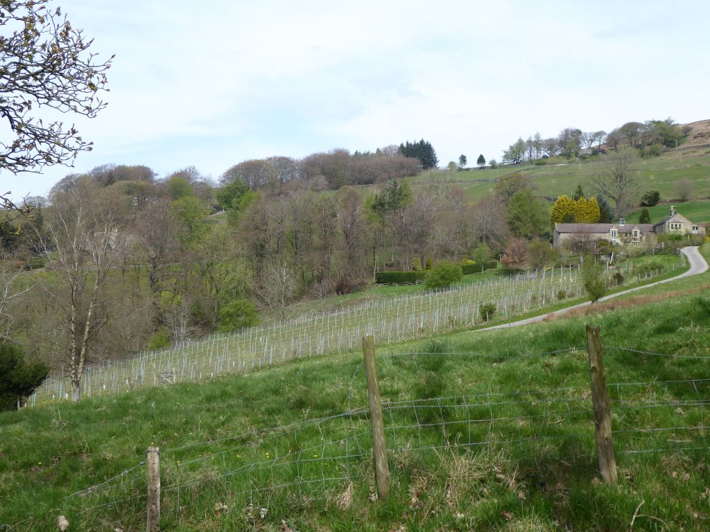
From the Higger Tor the path went down towards Hathersage. On the way it went past the Carr Head vineyard; a vineyard is a very rare occurrence on these walks. The owners send the grapes from their vines to the Halfpenny Green vineyard in Staffordshire for conversion to wine.
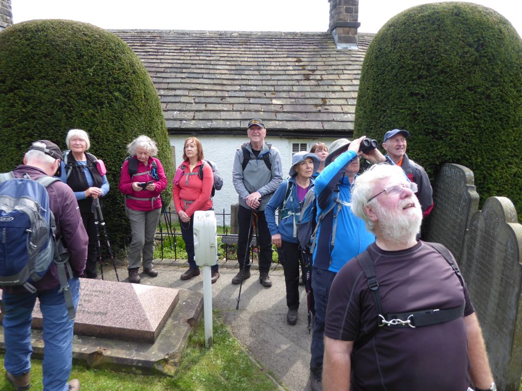
Before reaching Hathersage, the group had to visit the churchyard for the alleged grave of Little John of the 13th century Robin Hood legend. No other churchyard has claimed to host Little John’s grave, but the first record of the claim is from the late 17th century so it would be unwise to base anything important on the fact. It must boost the tourist trade in Hathersage, so the ice cream sellers there would encourage the belief.
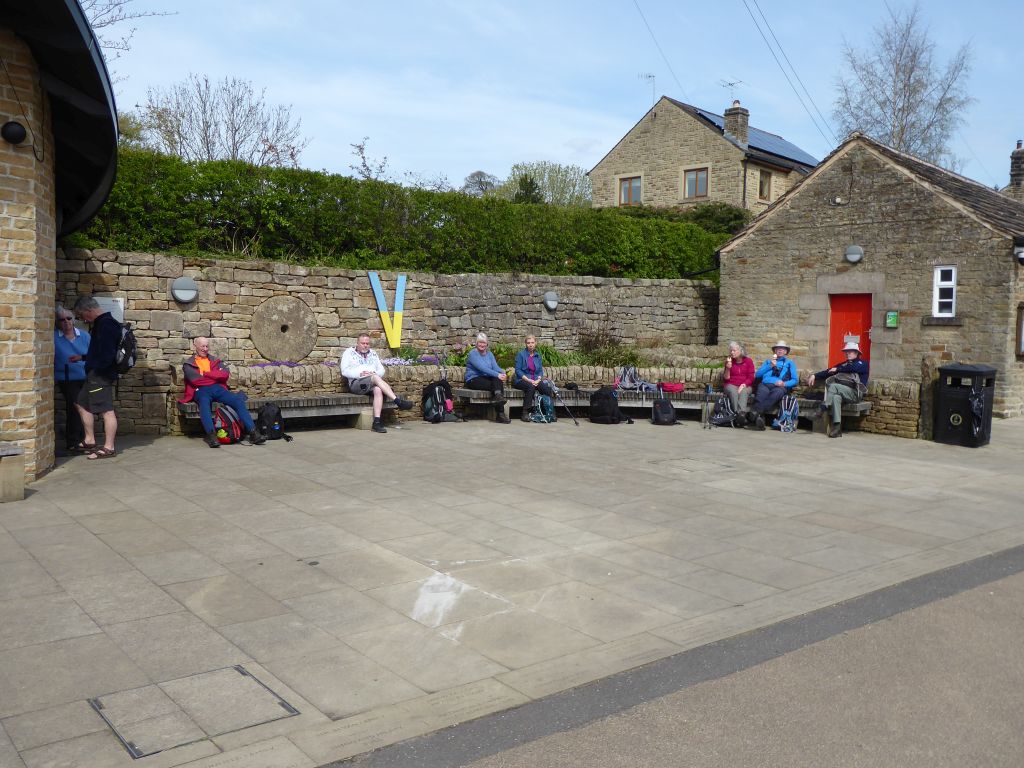
Hathersage has public toilets next to a meeting room and an open area surrounded by benches. The group took over the benches and took advantage of the toilets, but nobody used the meeting room. Some local worthies came to do some public-spirited work in the meeting room, but the door wouldn’t open. Several walkers rose to this crisis and bought ice creams from Little John’s admirers.
The next phase of the walk went alongside the river Derwent which was also being used by the RAF for training as the group was excited to be buzzed first by a Typhoon fighter and then by a Hawk trainer. The group thought (hoped| the planes belonged to the RAF.
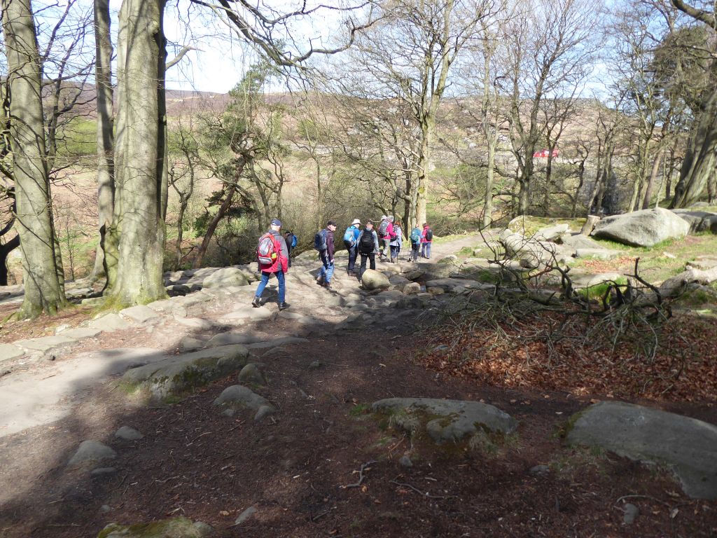
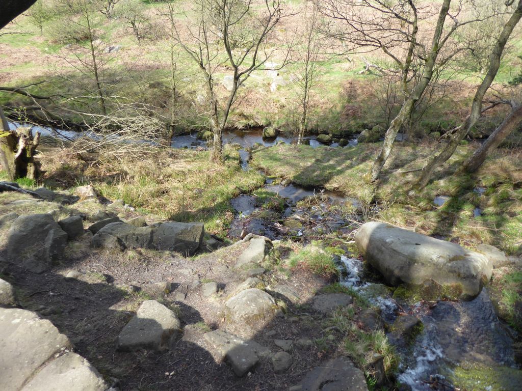
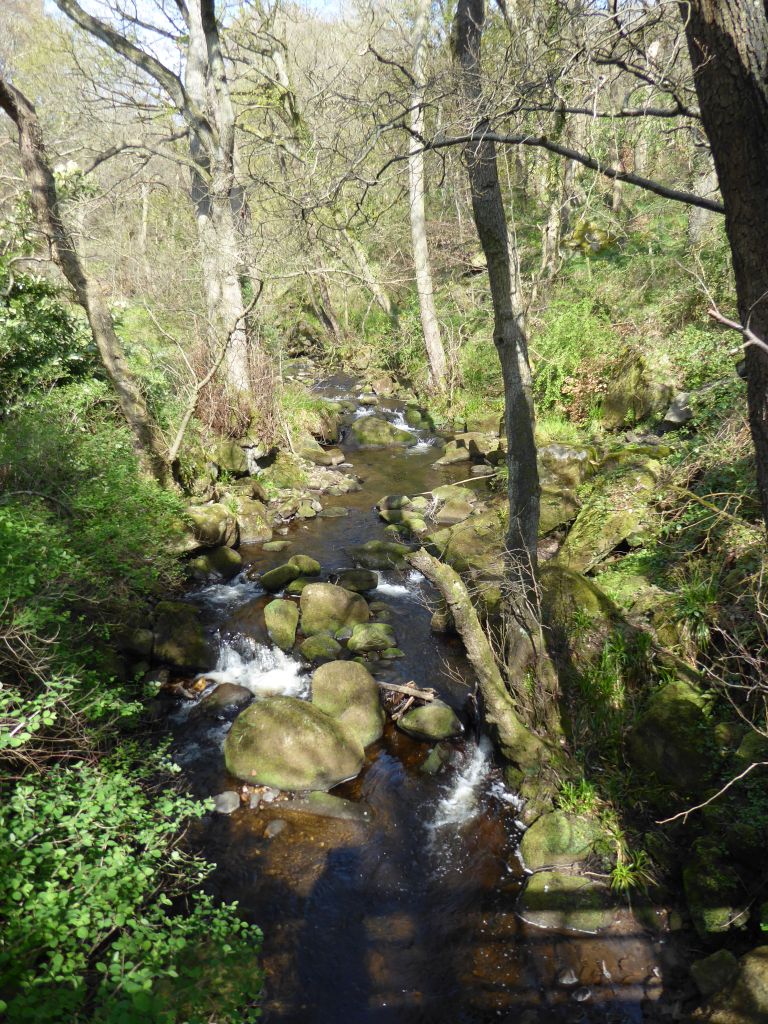
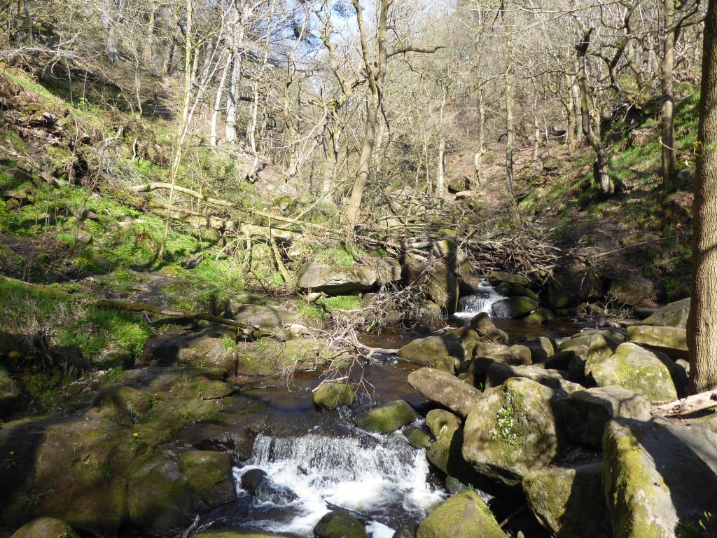
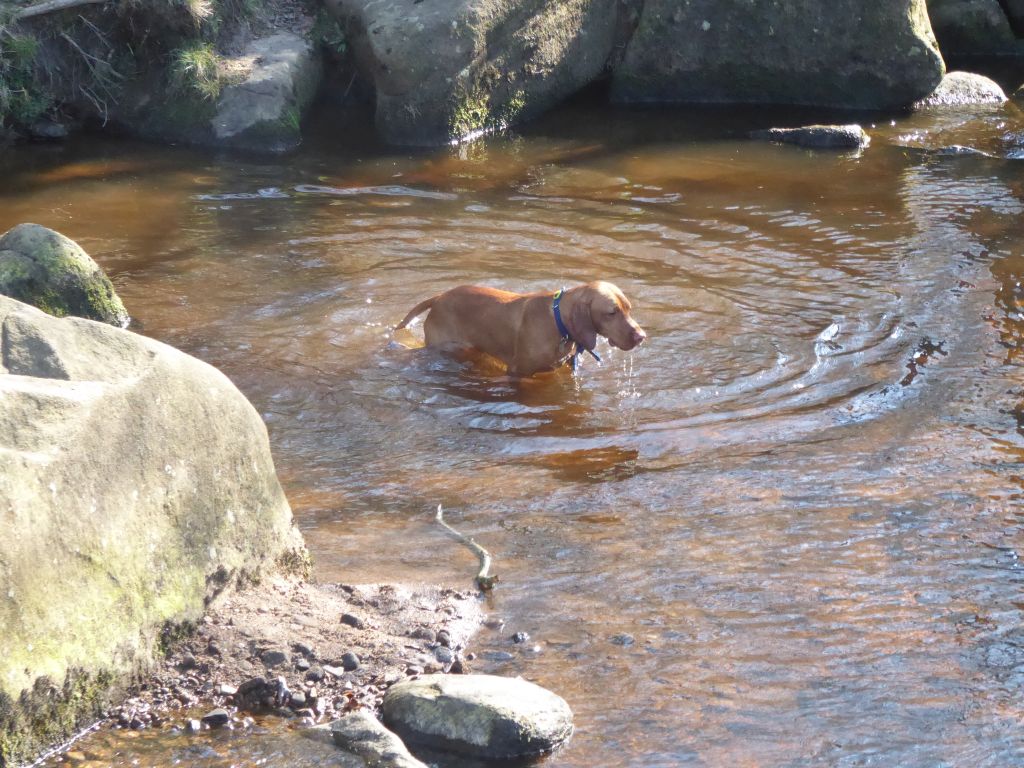
After Grindleford, the group climbed Padley Gorge where Burbage Brook babbles by rugged rocks revealing ragged rascals. That’s the impression, but the only rascal was an adventurous dog which attached itself to the group for a while. It was reunited with its owners at the top of the gorge where the walkers took a refreshment break and the dog splashed in the brook.
When the group reached the toilets near the car park, it was unfortunate that nobody knew how to find the way through the trees to the cars. The back marker, who had to get back for the Brownie concert, led the way and managed to join the audience in good time. The concert was very sweet.


27 Apr 2022 Wirral Way Leaders: Mike & Linda, Length of walk: 9 miles, Driving Distance: 40 miles, Number walking: 13
In the absence of the scribe / photojournalist, no record was taken. Nevertheless, the walkers did turn up and do the distance.