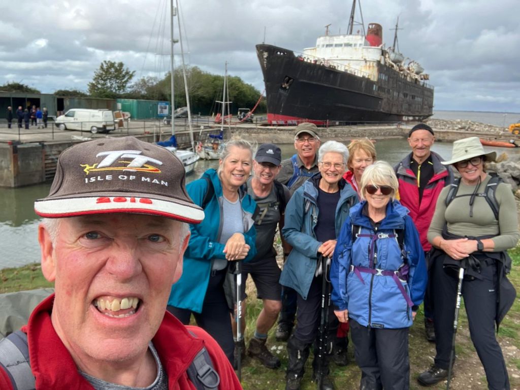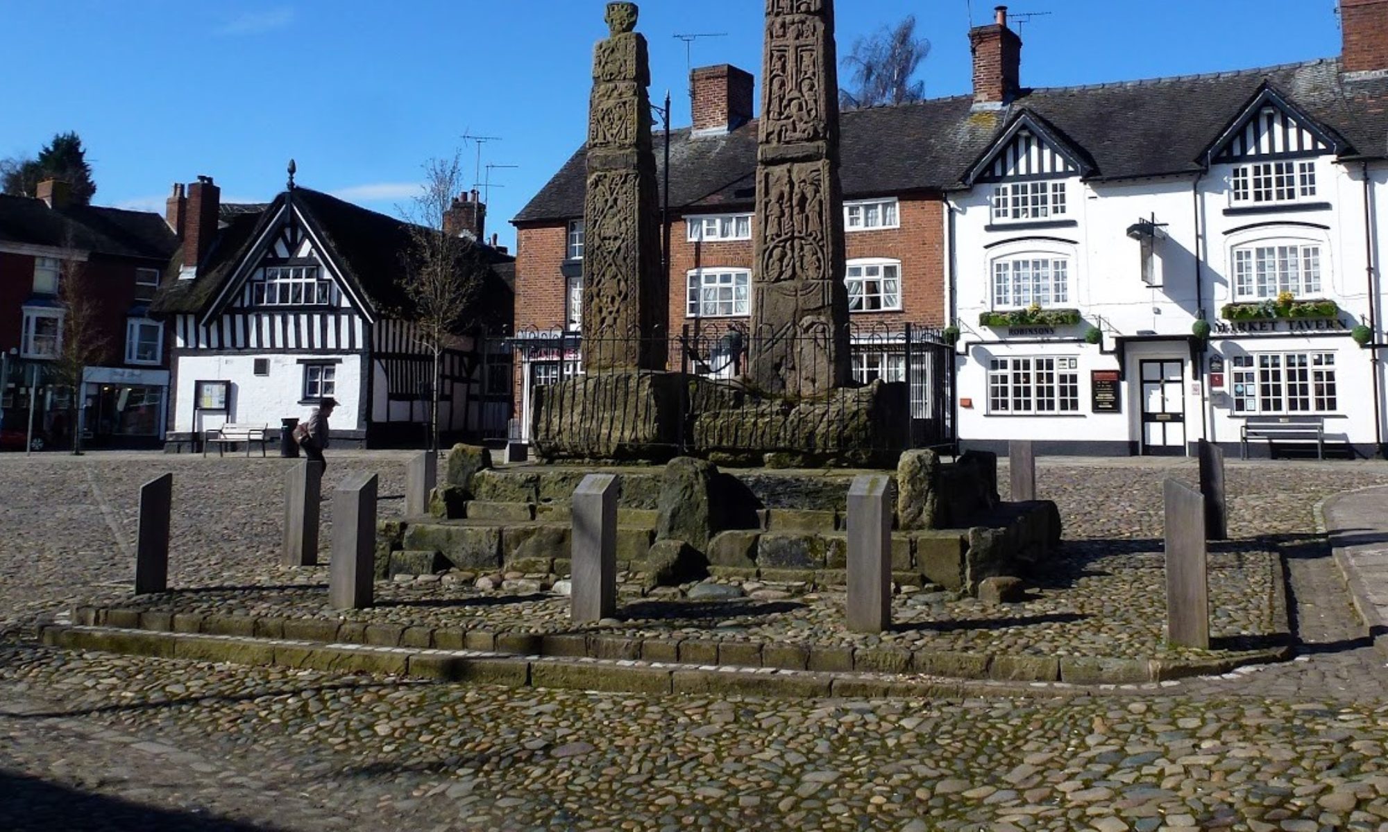

2 Sep 2026 Ashford in the Water Leader: Lesley, Length of walk: 9 miles, Driving distance: 42 miles, Number walking:16
Car park on Court Lane (postcode DE45 1QG)
Click here for a map of the route.
The walk started in steady rain which continued but paused at lunch time.
The leader advised that there was only one hill; this was at Monsal Head. In her enthusiasm for the walk she had forgotten the paths through the woods along the River Wye as the route went west alongside the A6 road. The walkers also had to contend with slippery limestone underfoot, but nobody fell over.
An information board along the river indicated that archaeologists had excavated evidence of a “horrific massacre” on Fin Cop – a hill overlooking the River Wye – but failed to reveal why it was not a regular massacre. Wikipedia is your friend here; the burial contained only women and children who were “probably massacred after the fort was attacked” but details of their grisly wounds were redacted. How did they manage to dig a hole in the stony ground and what happened to the men? Who knows?
The route crossed the A6 into Monsal Dale where the walkers took lunch on the bank of the River Wye. Karen entertained the group with revelations about her proposed career as an influencer in matters of property and fashion.
Before leaving the lunch site, the leader polled the walkers about the next stage of the route. One option was to climb to the top of Monsal Head and go down to the Monsal Trail. The alternative was to climb halfway up Monsal Head and start the Monsal Trail through the tunnel. The tunnel won. It was no-brainer; the walkers climbed less and stayed dry in the tunnel.
When the Monsal Trail reached a point north of Bakewell, the group turned south to the outskirts of the town and then followed the River Wye back to Ashford. On the way various birds were spotted by some of the walkers – a heron, cormorants and a kingfisher.
Despite there being no sunshine during the walk, some walkers felt the need for a restorative ice cream and duly indulged.


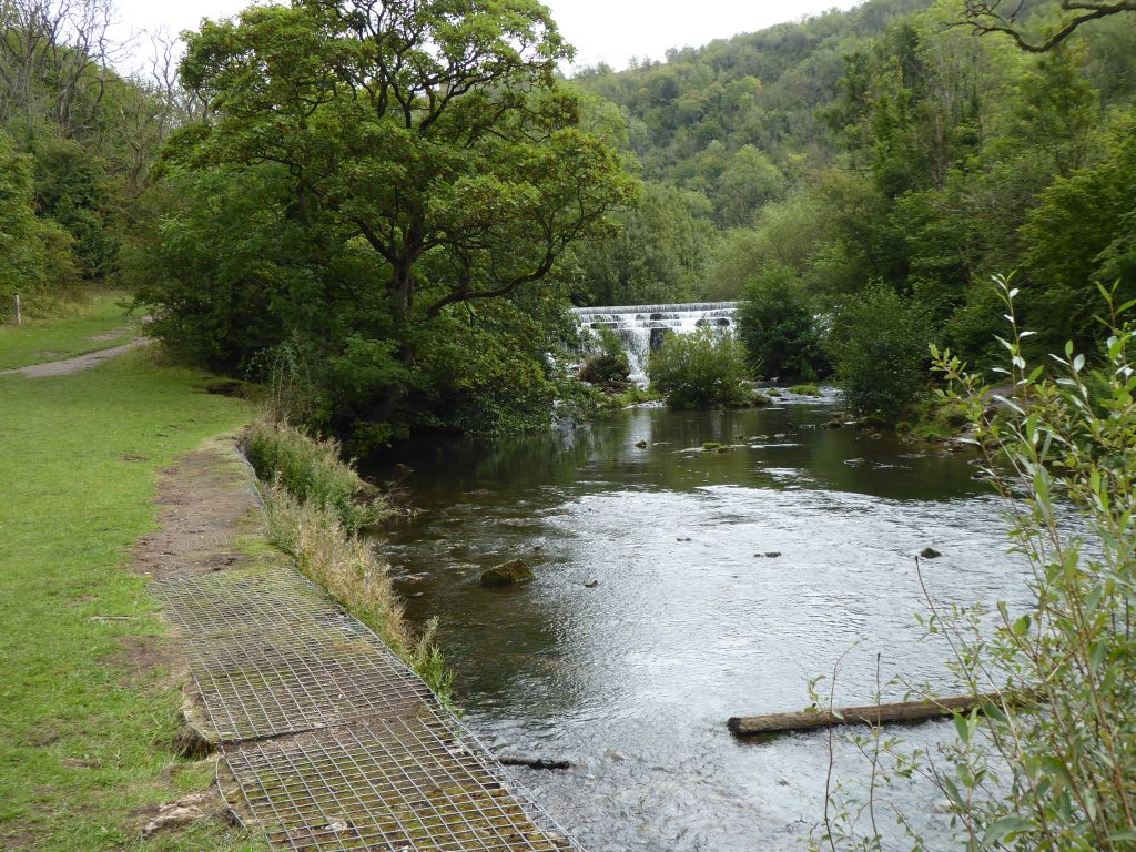
16 Sep 2026 Holywell Leader: Simon & Lynda, Length of walk: 11 miles, Driving distance: 48 miles, Number walking: 9
Click here for a map of the route.
The walk starts just below Basingwerk Abbey at Greenfield near Holywell. It is a long walk, almost 11 miles, but all the ascent is in the morning. The walk is very varied and there should be wonderful views over the Dee estuary and the Clwydian Hills. There are only a few stiles.
Parking is free at the Greenfield Valley Car Park, just off the A548 at postcode CH8 7GH. There are toilets at the Visitor Centre for the Abbey, and we will visit them as we leave the car park. The journey is 48 miles across country via Chester, or 53 miles if you go via the motorways. It should take a little over an hour.