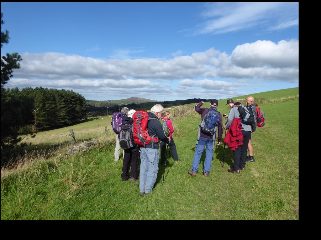
6 Oct 2021 Pym Chair Leader: Stephen, Length of walk: 8.5 miles, Driving Distance: 25 miles, Number walking: 11
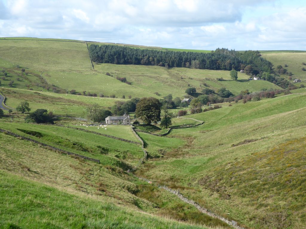
Pym Chair is in the middle of nowhere. Actually that’s not even true because the chair was named after a rock outcrop that has been quarried away, while an informative sign explains that nobody knows why the feature bears that name. It’s a miracle anybody can remember that it exists; it doesn’t appear on the OS 1:50,000 map. It is actually south of Kettleshulme and east of Rainow with little in between. A short walk to the east lies the Goyt valley with its dams.
From the car park the leader set off for Shining Tor walking along the boundary between Cheshire and Derbyshire, which was, for the most part, marked by flagstones. The air was clear allowing extensive views of sunlit moorland; early on the cooling towers of Fiddler’s Ferry power station were visible, but they disappeared later.
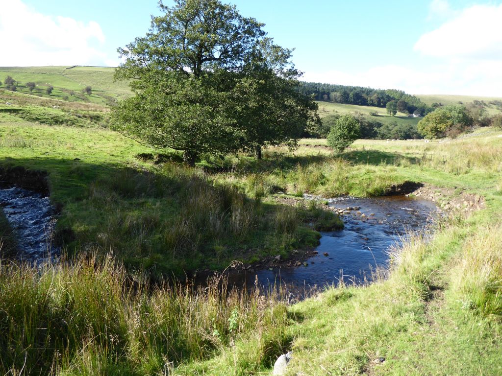
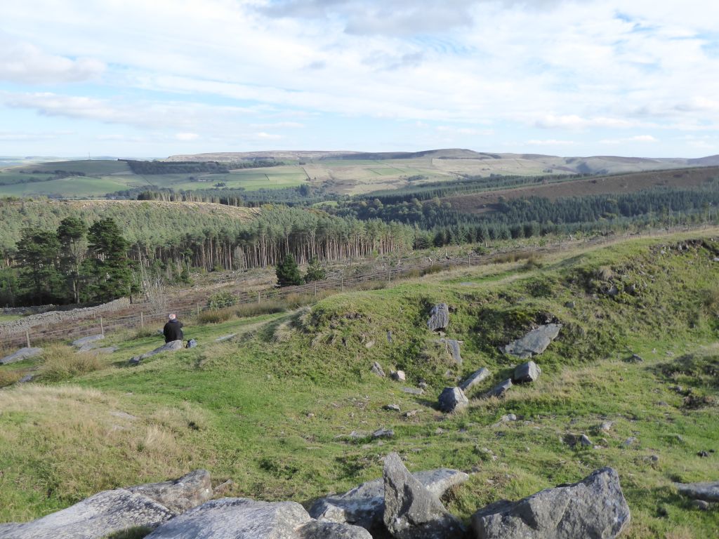
After coffee and cake at the highest point of Cheshire the group returned a little way north to take the path into the valley where the Todd Brook rises and makes its way to Whaley Bridge (see the report of the walk in October 2019). The southern end of the valley contained nothing but rough grass and reeds but later flocks of sheep populated the area.
The leader selected a pretty site near Saltersford Hall for lunch and some of the walkers wondered what the great Capability Brown would have made of the area. It could be a delightful landscape albeit difficult to reach. Their views might have been different if they had to lunch in rain and wind.
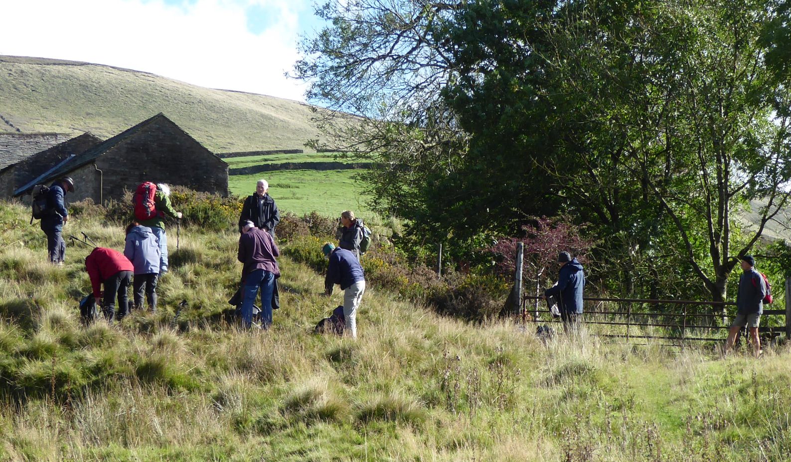
After following Todd Brook north the group climbed out of that valley into another where they wandered through the garden of Dunge Farm. This had been landscaped with a lake and a waterfall, but the maintenance budget was insufficient to keep it in top condition. Maybe the owners don’t like sharing it with random walkers clomping through.
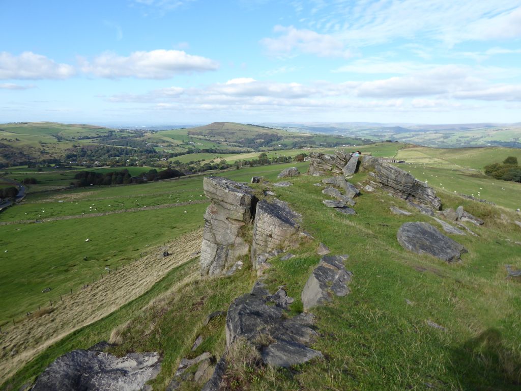
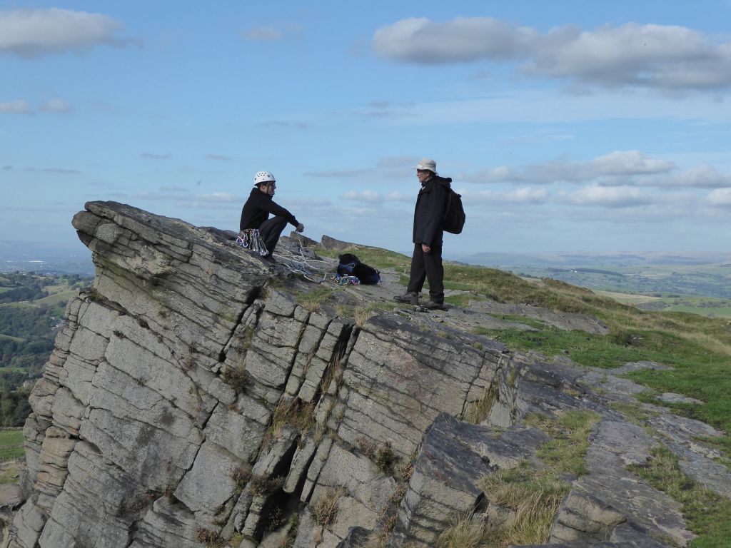
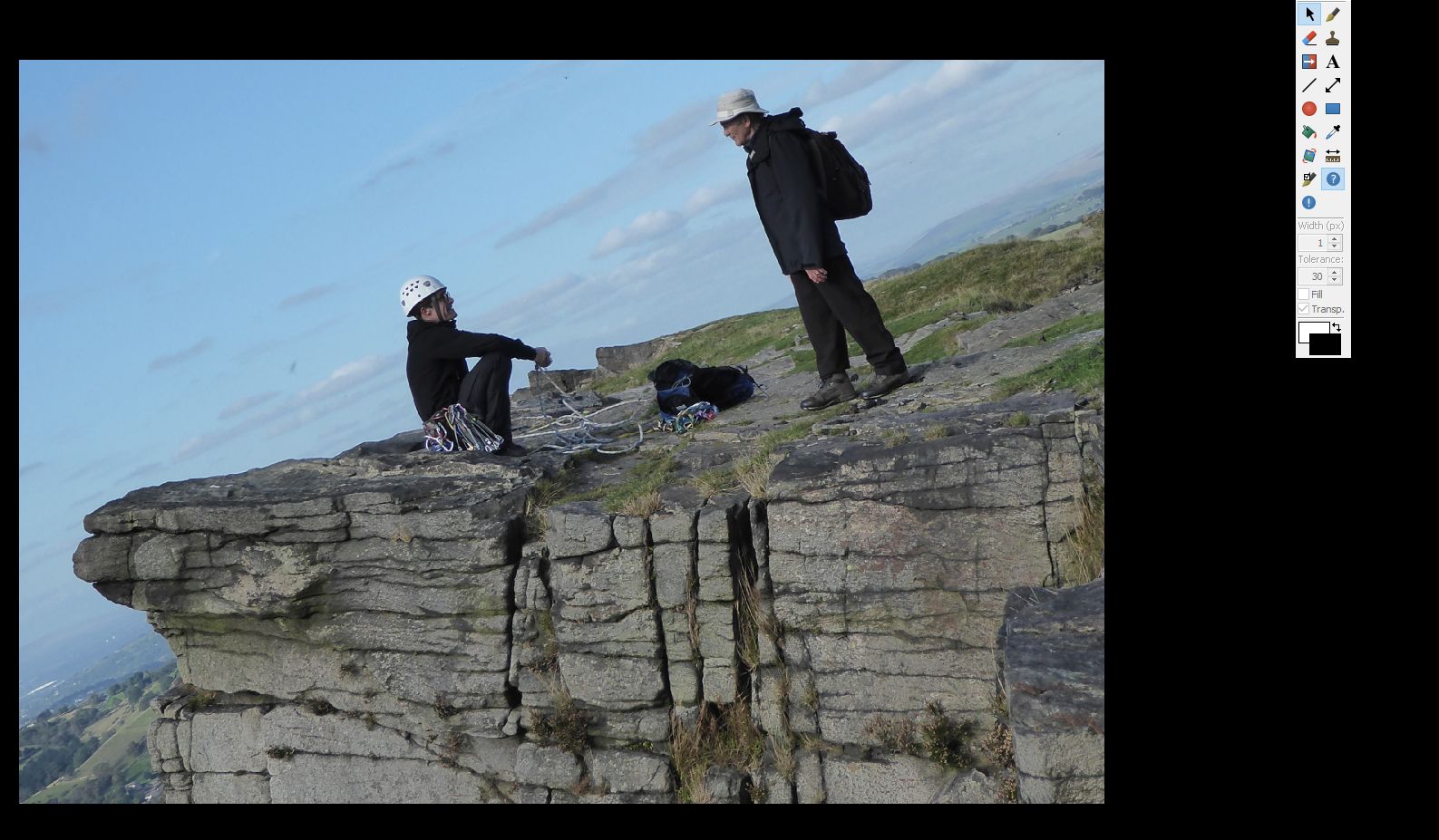
The final climb took the walkers up to Taxal Edge and thence to the top of Windgather Rocks for afternoon tea. On the way back to the car park, the leader met a fellow geology teacher packing away the kit from a session of abseiling and had to be prised away to shepherd his charges back to the cars.

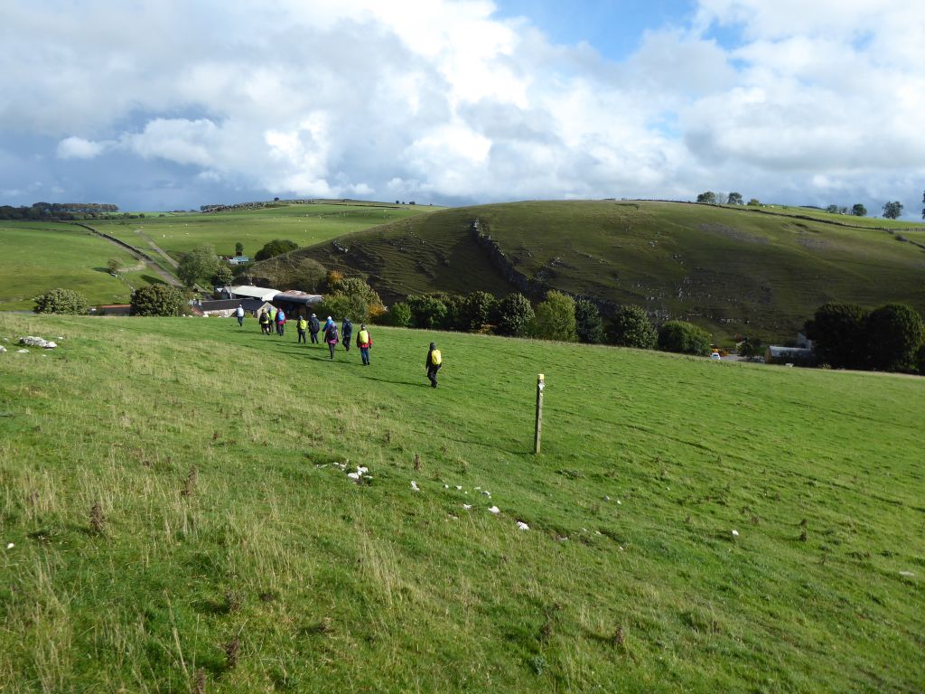
20 Oct 2021 High Peak Trail Leader: Bill & Ruth, Length of walk: 9 miles, Driving Distance: 36 miles, Number walking: 14
Click here to see a map of the walk
The journey to the start of the walk was cursed by constant rain, which set the expectations at a miserably low level for a wet day out. However the rain stopped on arrival at the Hurdlow car park. Given the rain on the drive there, only the reckless refused to don waterproof trousers at the start.
In a fine display of leadership Bill discovered that the car park machine had given him two tickets and after questioning the other drivers found that the first to use the machine had received a ticket abandoned in the slot the day before. A useful tip: always read the ticket from the car park machine.
Soon after setting off, a patch of blue sky was spotted and photographed in case that was all there was. But as the group walked north along the High Peak trail, the sky turned quite pleasant.
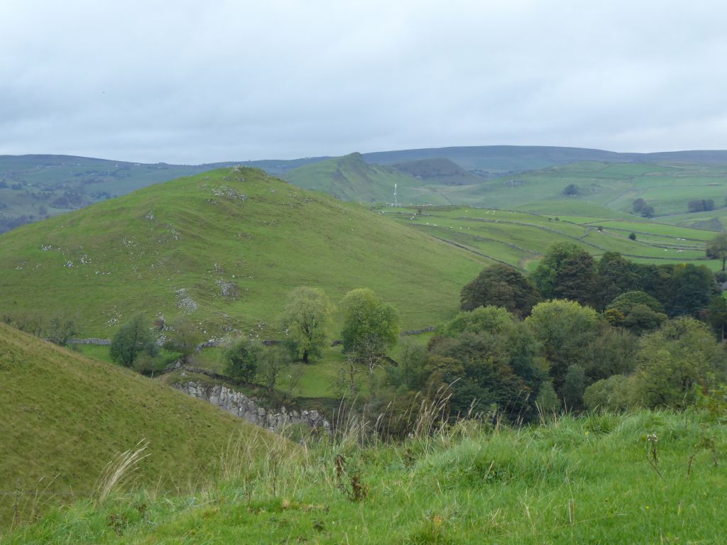
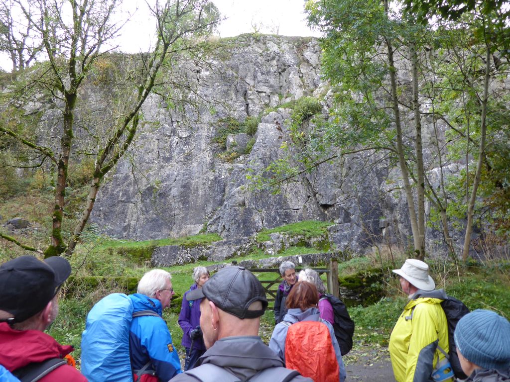
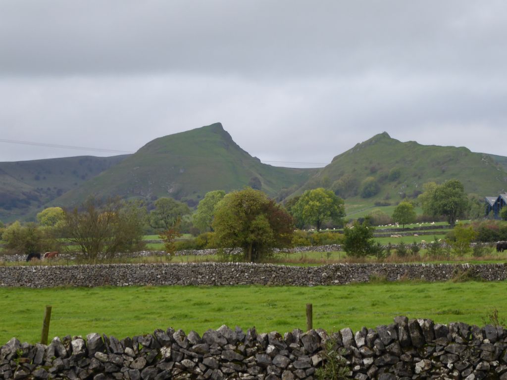
The coffee stop at Wheeldon Trees gave a view of the hill High Wheeldon with an entertaining appearance by a couple of walkers trying to come down the steep hill without falling. The other view from the coffee stop was the spectacular limestone reef remnants Chrome Hill and Parkhouse Hill. They were not on the itinerary for this walk but are impressive to see on a clear day. Equally impressive is the fact that the Norwegian jazz quartet previously named “Damp” changed their name to “Chrome Hill” in 2008. Their website doesn’t explain the change of name but it’s possible that Chrome (pronounced kroom) sounds like a rude word in Norwegian. Interestingly the Cheshire town of Northwich has a street named Crum Hill near its old market. Is there a connection?
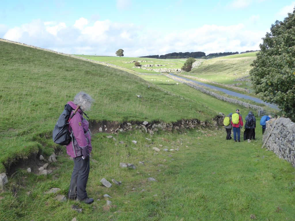
The group walked round the base of High Wheeldon and set off south along the valley of the river Dove which ought to be called Dovedale but is not so named at this point on the map.
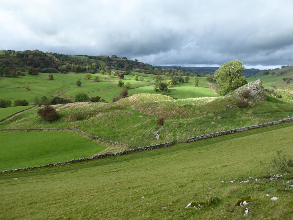
The path followed the Dove through Crowdecote up to Pilsbury Castle, which must be one of the world’s most disappointing castles. It currently comprises a few bumps in the ground and inspires the thought – why did someone build a castle in the middle of nowhere?
One of the hills above Pilsbury Castle provided the site for lunch and views over Broadmeadow Hall on the other side of the Dove. The hall is a Grade II listed building from the mid 17th century but appears to be uninhabited. The other view of interest was the disappearance of Chrome Hill and Parkhouse Hill behind threatening clouds.
Shortly after the walk restarted a massive storm shower pummelled the walkers for 10 minutes with rain, hail and wind. Fortunately the storm came from behind so was slightly more bearable. After making sure that every piece of exposed clothing was soaked, the storm moved on and optimists received their reward when the sun came out to dry up all the rain. For obvious reasons no pictures of the walkers being lashed by the storm exist.
The next point of interest was Vincent House farm which was a feature of the Tissington Trail walk on 15 September. This was where the back marker hurled himself over a gate onto his back and, those who missed it, hoped to see a repeat. The back marker was equally keen to avoid the repetition.
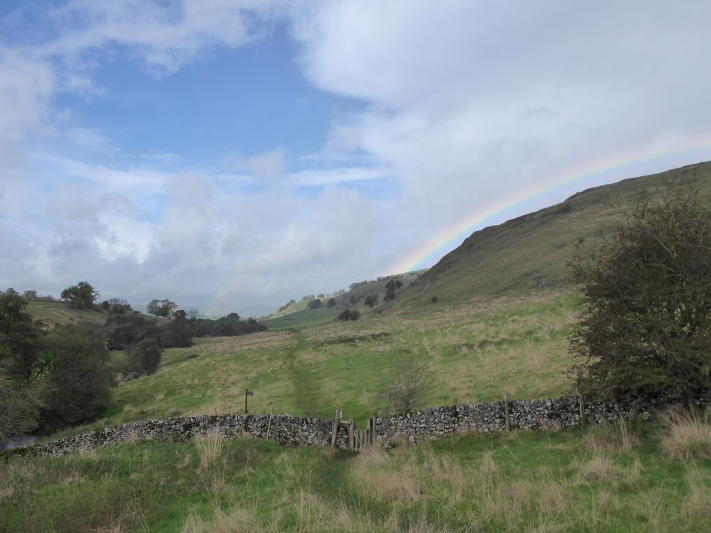
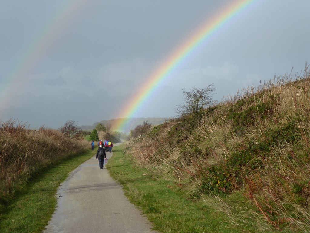
The last section of the walk was along the High Peak Trail and the walkers were entertained by displays of rainbows in the sky ahead.


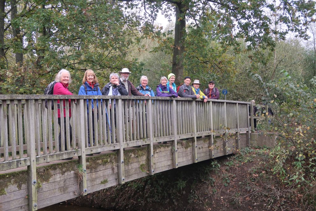
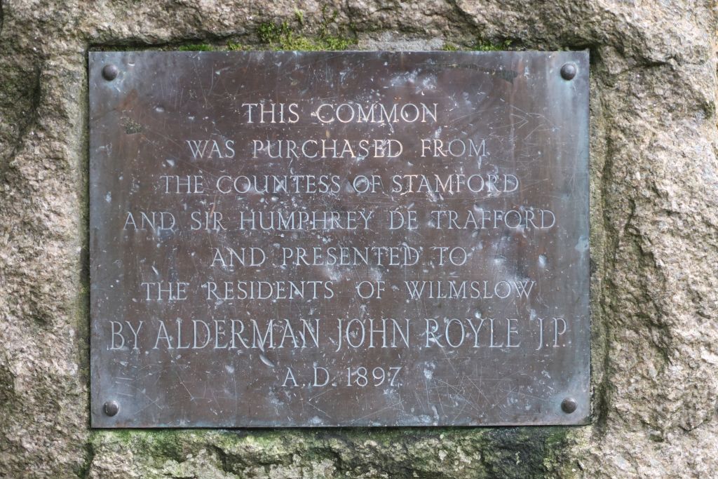
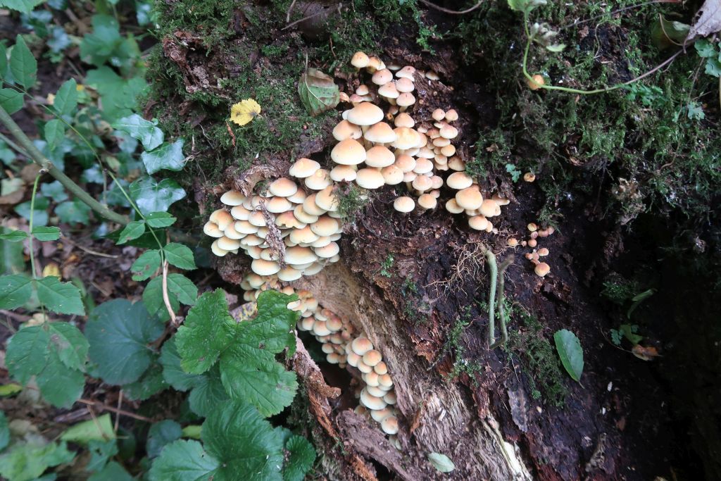
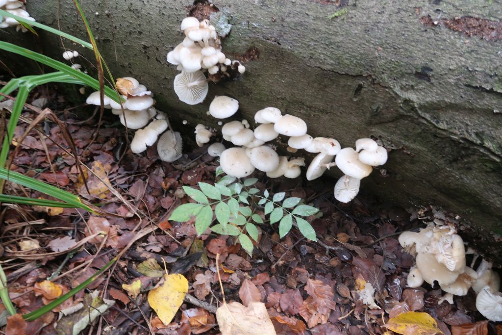
27 Oct 2021 Styal Leader: Kath & Elaine, Length of walk: 9 miles, Driving Distance: 30 miles, Number walking: 11
Click here to see a map of the walk
The walk started on a breezy but dry National Trust car park at Quarry Bank.
In the absence of the usual accomplished scribe, there is no written record of the jolly japes that can be expected on a walk organised by Kath and Elaine. You may be able to gather a hint of the jollity from the pictures below.