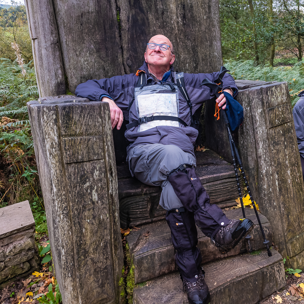
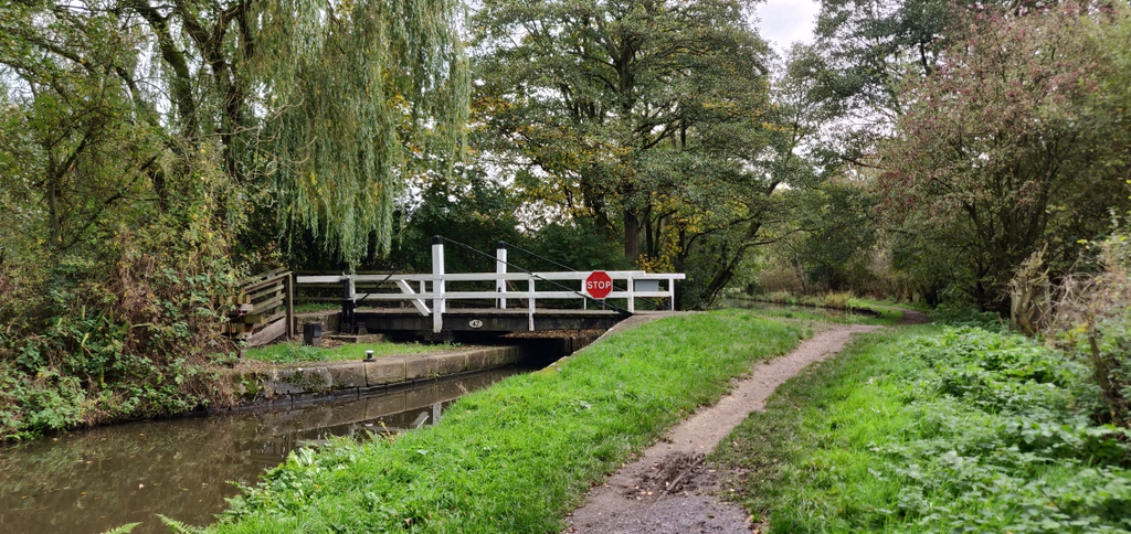
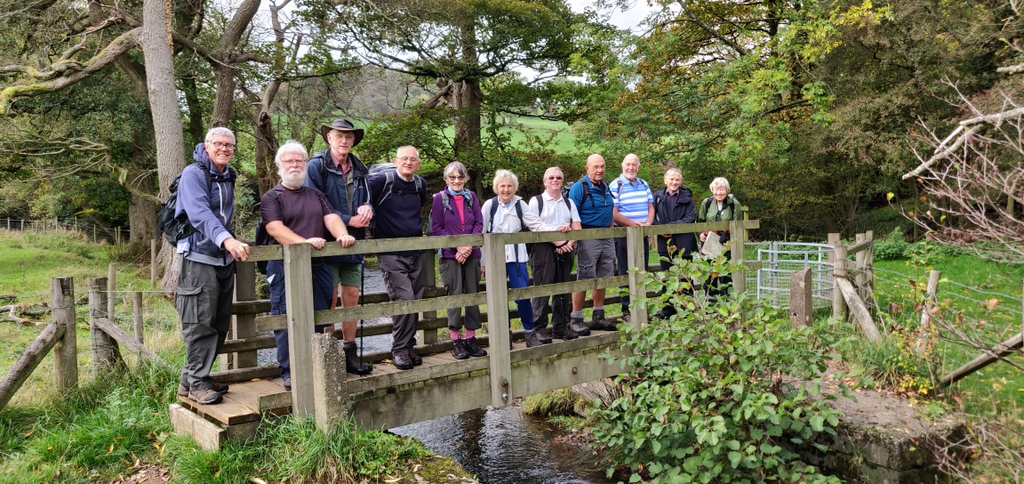
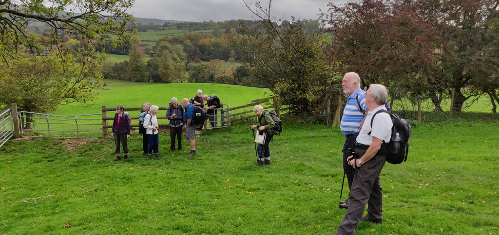
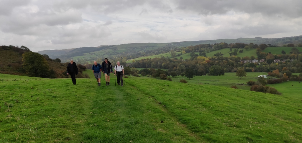
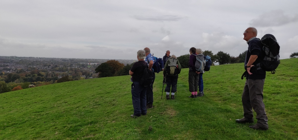
3 Oct 2018 Rossendale Walk Leader: Kath, Length of walk: 8 miles, Driving Distance: 60 miles, Number walking: 16
As well as leading the walk, Kath also supplied the notes below to make up for the absence of the usual correspondent. They are nicely done and prompt the thought that we could have a guest editor from time to time to report on what happened or should have happened on the walk.
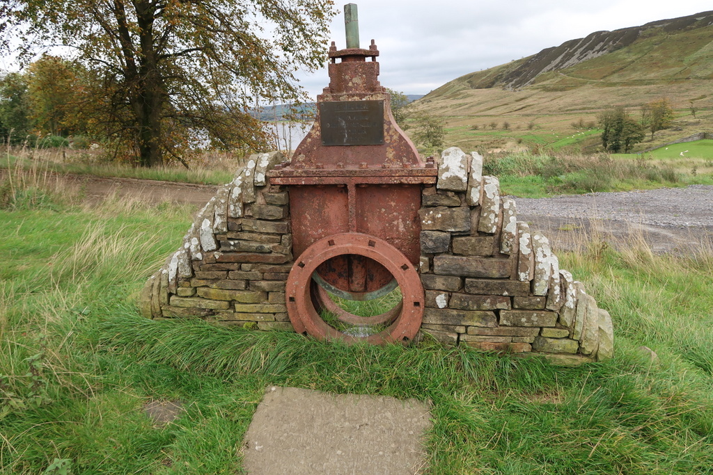
Rossendale Way
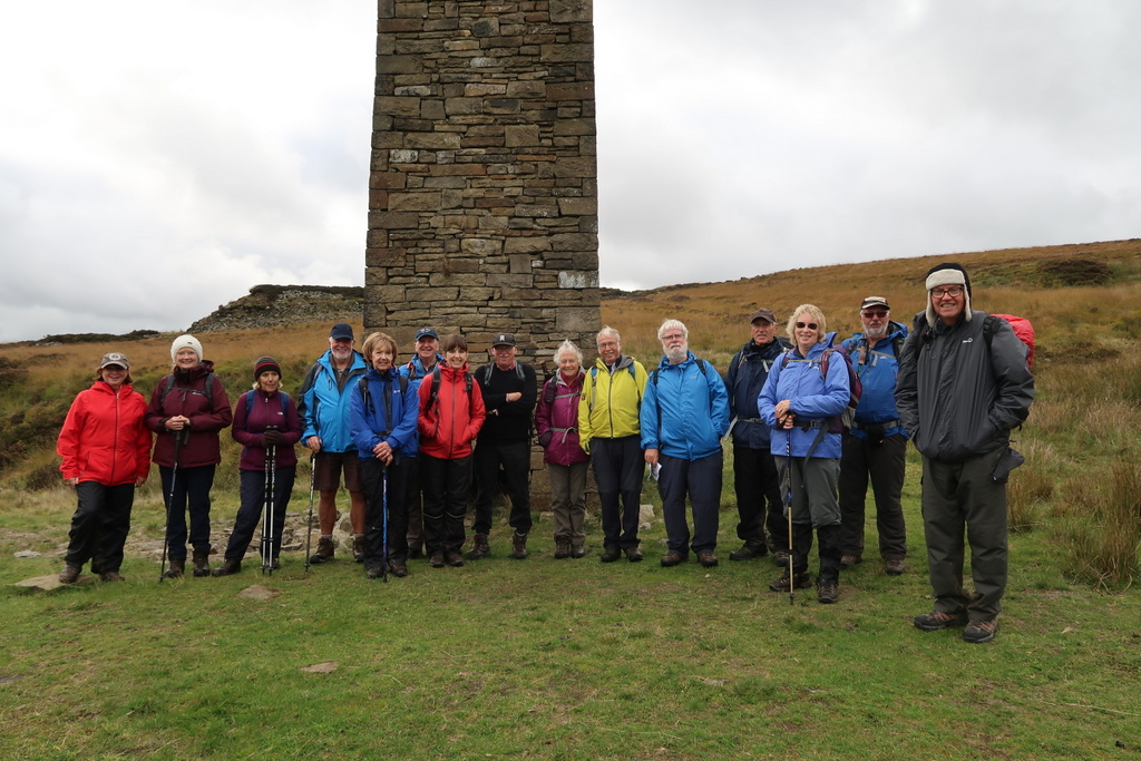
We started and finished the walk following parts of the Rossendale Way, which is a 45 mile circular route around the boundary of Rossendale. In 1985 a stone was erected at “Top of Leach” which is the highest point of the way, when the way was opened. This stone was reinstated in 2015 when celebrating 30 years of the Rossendale Way. The Way is currently being re-waymarked – so far 650 new markers have been put in place.
Valley of stone
Stone has been quarried in Rossendale since at least the 14th century. There are records of stone being sold in Rossendale in 1341, and rents being paid for quarries in the middle of the 15th century.
Before 1770, quarrying was on small scale close to where the stone was wanted. Farmers needing stone for buildings or drystone walls would find an outcrop and take stone from there.
But very soon Rossendale stone was in great demand locally and further afield. The stone split easily into sheets suitable for roofing slates which led to slate pits being worked as early as 1600.
Demand increased hugely through 19th century with industrial development, leading to larger and larger quarries. The coming of the railways in 1840’s meant the stone could be marketed more widely to large Victorian towns and cities. Destinations included Manchester, Preston and Liverpool, parts of Yorkshire, Birmingham and London, including Trafalgar Square.
At the peak, around 1890-1900, 3000 men were employed in Rossendale quarries, the third largest employer in Rossendale after textiles and footwear. An estimated 2000 tons of stone left the area per week.
Railway
Opened in 1848, closed with Beeching cuts in 1966. Relics remain such as the Helmshore viaduct by the textile museum. The group founded to fight the cuts became the East Lancashire Railway, now operating the Bury to Rawtenstall line (steam trains)
One of the world’s first municipal bus services linked Helmshore to Haslingden in 1907.
Musbury / Helmshore
Village dominated by spectacular flat topped Musbury Tor, once the centre of the medieval hunting park – Alden Valley to South, Musbury Valley to North-West, which we walked through. The whole park was said to be worth 13/4 in 1311, and fines were introduced for trespass.
One of the main early tracks that passed through the area was the pilgrims’ route from Holcombe Moor to Whalley (warm and dry!) where there was an important Minster.
During Industrial Revolution, Musbury gradually became known as Helmshore, ideally suited to wool, cotton and linen industries. From 1790s on small mills were built on the river valleys, close to farms – most mill owners were also farmers. By the late 19th century these mills became redundant with the introduction of large industrial mills close to roads and railways, with terraced houses built to house the workers. Housing was mixed with 2 up / 2 down terraces, back to back cottages and top-and-bottom houses.
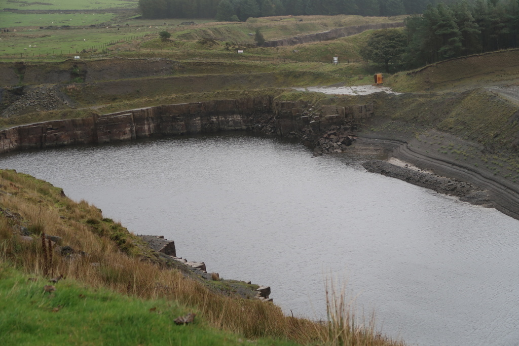
Musbury Heights
This area was once a quarry, and is now disused. There are ruins of several buildings and a rebuilt chimney, countless spoil heaps and old workings. A tramway was constructed to carry away stone flagstones.
As a result of the extensive quarrying, the geography of Musbury Heights is greatly different to other hills in the area.
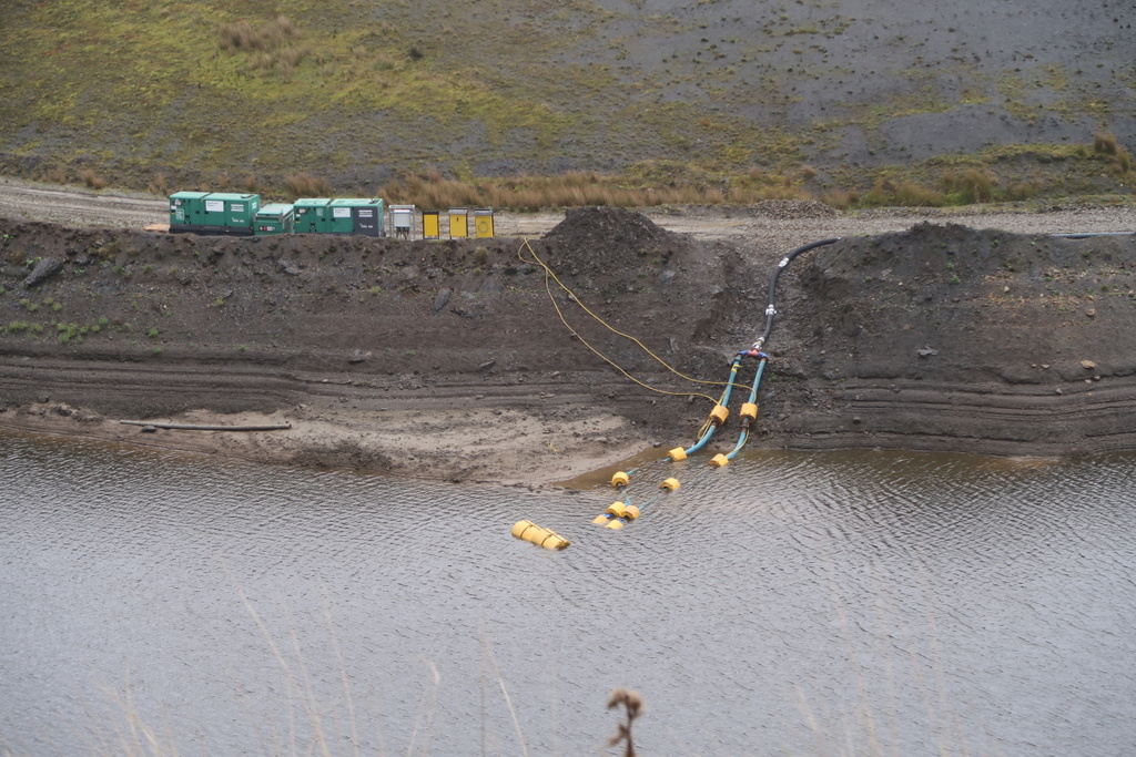
Haslingden Grane Valley (Grane Road)
In the middle of the 19th century, about 1500 people lived in the valley, about 600 in the village and the rest in scattered farms. Limited amount of arable farming, mainly oats, but most kept sheep. Some farms developed into hamlets employing spinners and weavers of woollen cloth.
Reservoirs – First Holden Wood, 1842, at lower end of valley. Soon afterwards Calf Hey was planned at top of valley and the company started to buy up whole farms. This opened in 1860. The third reservoir (Ogden – the river through the valley is the Ogden) was delayed whilst concerns about pollution from upland farms was addressed by closing down farms throughout the valley and planting forests to reduce the rate of run off and improve water quality. The opening of the reservoir in 1906 led to the closure of the Calf Hey cotton mill, one of the few buildings submerged.


17 Oct 2018 Gawsworth to Macclesfield Walk Leader: Christine Roche, Length of walk: 7 miles, Driving Distance: 0 miles, Number walking: 12
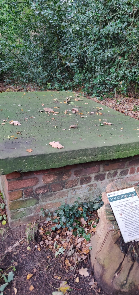
Since we took the service bus to Gawsworth, most people had little driving to do. With the memory of the bus breaking down in Congleton last year still fresh, we waited with apprehension for the bus to arrive. It did arrive and it didn’t break down but it arrived in Sandbach 20 minutes after its scheduled time. All our walkers found a seat but the later passengers stood until we left them at Gawsworth. The official name of the stop where we dismounted is Marton Lane but the road on the other side of the crossroads is Maggoty Lane; what a shame the authorities didn’t choose that as the name for the stop.
The leader was talking as she strode along the lane and had to be called back to enter Maggoty Johnson’s Wood, where the path took us past the grave of Samuel Johnson. He wrote poems and plays and performed them in London, but also carried on his profession as a dancing-master in Manchester. During the thirty years of his retirement, he lived in Gawsworth with a faithful female servant. He performed as a jester for the local gentry where, because of his sharp wit and endearing repartee he was granted free license.
He had a tomb built in the wood for his servant but her brother insisted on a Christian burial so it was left empty. When Samuel died in 1773, he was buried in the local churchyard until it was discovered that he wanted to be buried in the tomb in the wood. He was duly disinterred and placed in the tomb. The wood is reputedly haunted by his ghost and with all the palaver about his burial, you can understand why.
The sandstone (Stephen was present) slab on top of Samuel’s grave is inscribed with a long and tedious poem telling how good he was. This so offended the Victorian owners of Gawsworth Hall that Lady Harrington had another plaque erected in 1851 rebuking him. That the sandstone inscription is so clear is due to the fact that it was restored in 1920.
We left the graveside and stopped in Nancy’s Wood on the other side of Maggoty Lane for a coffee stop. It would be fitting to find that this wood was named after Samuel’s faithful servant but that is not obvious.
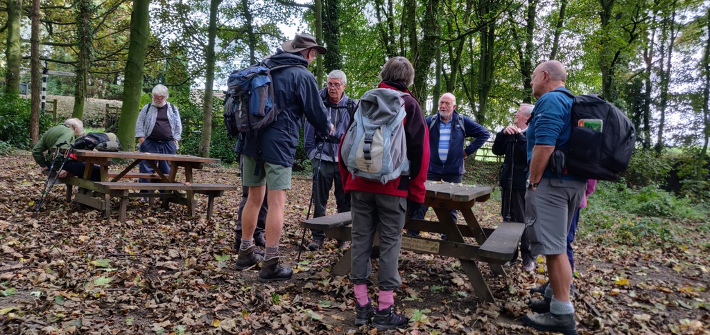
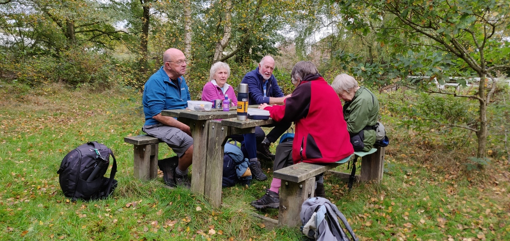
A short way along Church Lane we turned into a field to reach Woodhouse Lane and followed it until the path to Dane’s Moss. Since we were promised lunch at the Dane’s Moss picnic site we took this path and it was along here that a ladies’ backward was interrupted by a worker on a quad bike. He was kind enough to wait with the men until the ladies appeared.
One of the tables at the picnic site was occupied by an old man so Martyn went to chat to him while the rest got on with lunch. The site was then overrun by several frantic dogs that appeared to be hunting food.
After lunch we took the canal to Gurnett, where we left the towpath and followed the road to Langley. Before crossing the hill over Macclesfield Golf Club’s course, the leader insisted on another refreshment stop and then we found a bridge over the river Bollin, where a kind lady dog-walker took pictures of the entire party on the bridge.
Arriving in plenty of time before the bus left for Sandbach, we piled in to the Wetherspoon’s pub for a drink before catching the number 38 at the bus station. Shortly after the journey started, Stephen realised that he had lost his wallet, so jumped off and returned to the pub where he found it on the floor. Not only did have that good news to celebrate but Bob’s phone awarded him a medal for completing 1 million steps since March. The phone helpfully converted the energy needed for this achievement to 76.1 chicken drumsticks prompting a fierce discussion about the size of a standard chicken drumstick.
The weather was kind throughout the day maintaining an overcast sky with occasional sun but no wind or rain to hold us back.
Ralph had the misfortune to leave his gilet packed with high technology in his car. No pictures from Ralph this time, but Steve stepped up and supplied the gallery below.
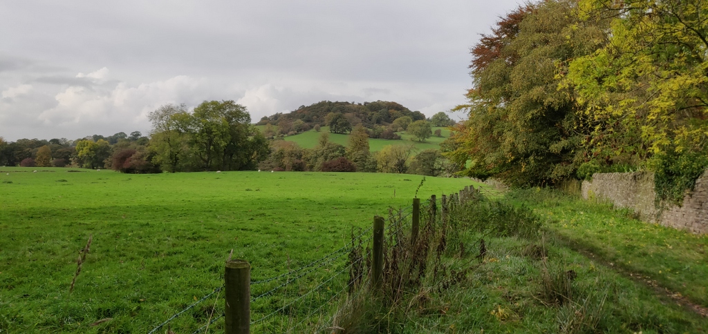
24 Oct 2018 Tittesworth to The Roaches Walk Leaders: Mike & Linda, Length of walk: 8 miles, Driving Distance: 22 miles, Number walking: 19
It was a heavily overcast day requiring insulation for any sensitive body parts but there were three hardy souls wearing shorts nevertheless. This prompted some of the more tender walkers to scoff to disguise their admiration.
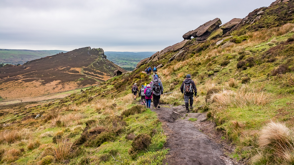
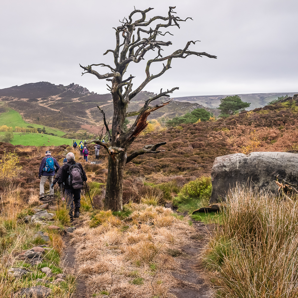
Tittesworth reservoir visitor centre was the start point and we marched out through Meerbrook until a path took us into field with the Roaches straight ahead.
They are an impressive sight, especially when you know you have to climb to the top but we had a bigger challenge before we started to climb. The challenge we faced was the rickety state of the stiles in the area. At one stile, the walkers crossing first, stood around to watch the others climb over, presumably to witness some embarrassing move but this urge faded as they got into the swing of struggling.
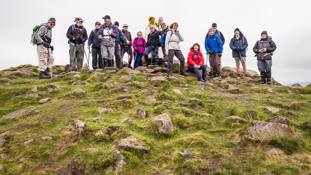
We started at Roach End and followed the path along the top. We were not surprised to find that the wind increased as we climbed higher but the group gamely passed for a picture by the trig point. Why do they erect trig points in windy places?
There were no ruined castles or decayed factories to report on so Ralph told some stories with reference to wallabies, Lud’s Church, Swythamley Hall and King Arthur’s own Sir Gawain and the Green Knight.
Sir Gawain and the Green Knight is a medieval poem describing how Sir Gawain accepts a challenge from a large Green Knight who challenges anyone to strike him with his gold sword if he will take a return blow in a year and a day. Gawain accepts and beheads him with his blow, at which the Green Knight stands up, picks up his head and reminds Gawain of the appointed time. In his struggles to keep his bargain, Gawain demonstrates chivalry and loyalty until his honour is called into question by a test involving Lady Bertilak, the lady of the Green Knight’s castle.
In Ralph’s version, the action takes place in Lud’s Church and the lady testing Gawain’s honour is resident at Swythamley Hall. To be fair the poem is written in North Midlands dialect so it could originate from the Staffordshire area. The wallabies, while not featuring in Arthurian legend, were also resident at Swythamley Hall, which was owned by the Brocklehurst family. Henry Courtney Brocklehurst, who served with the Royal Flying Corps in World War 1 and died as a Lieutenant- Colonel in Burma in 1942, built a private zoo on the estate. It allegedly held yaks, llamas, wallabies and apes, but only the wallabies have been reported running wild nearby. Either the wallabies escaped or they were released during World War 2 because there was no wallaby food available for them. Whatever the reason for the sightings in the past, none were spotted during our stay in the area.
In the medieval period, the Lollards, followers of the fifteenth century religious reformer, John Wycliffe, allegedly used Lud’s Church as a secret place of worship to avoid persecution by the Catholic authorities. One of the leading local Lollards was Walter de Ludank (or Lud Auk), who was captured attending a Lollard meeting there. Walter’s daughter, Alice, was killed during the raid and her ghost is said to haunt the chasm, sometimes with a headless horseman (Green Knight?). One of the Brocklehurst family placed a wooden ship’s figurehead depicting the ship Swythamley in a high niche above the ravine to commemorate Alice and it became known as ‘Lady Lud’.
Let’s be clear about the derivation of the Lud’s Church name. It may have been named after a) Walter de Ludank (or Lud Auk), b) the Celtic god Llud, or c) the Welsh god Nud.
Lud’s Church has been associated with other historical figures; there are legends that such diverse characters as Robin Hood, Friar Tuck and Bonnie Prince Charlie used it to find shelter!
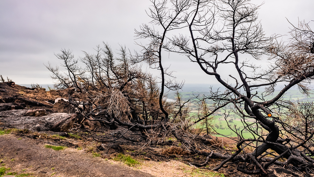
Lunch was declared while the back marker was learning from one of Stephen’s disciples the delights of graded bedding and sedimentary layers. All the other walkers dived off the path to seek shelter on the eastern side of the rocks and it took dogged detective work to find them. The lunch site gave good views over the 200 acres that were burned in the August fire and thick black ash still sits on both sides of the path in parts. After climbing down from the main set of rocks we climbed Hen Cloud so that we could go down probably the worst path we have ever walked on. It followed a broken down drystone wall, sometimes on it and sometimes to the side but always uneven with loose stones. Amazingly we reached the quarry by Roaches Hall without anyone needing attention from our newly qualified first aiders.
One the way down to Upper Hulme, we passed a farm named after Dieulacres Abbey. We came near the ruins of this abbey on the walk from Tittesworth in March 2018. The building has almost disappeared but the name lives on and you can see more details of its history in the March report.
We climbed a path out of Upper Hulme and followed the path back to Tittesworth. The most significant feature of this section was the track we crossed on the edge of a farm. The track had been scraped to leave a half-inch layer of manure for us to collect and treasure on our boots for later. As a result of this Doreen was heard to remark to a fellow walker back at Tittesworth “Do you have a tattoo on your leg. Oh no. It’s cow muck!”