
6 Nov 2019 Delamere Forest Leader: Mike & Linda, Length of walk: 10 miles, Driving Distance: 25 miles, Number walking: 20
Click on this link to see the route on a map.
In a nod to the cheapskate tendencies of baby boomers, this walk started from the only free car park in Delamere Forest. Delamere Forest extends for 972 hectares as the remaining part of the twin medieval forests of Mara and Mondrem which occupied 15,540 hectares in their heyday.
They stretched from the Mersey in the north to Nantwich in the south, and from the Gowy in the west to the Weaver in the east. The dividing line between Mara in the north and Mondrem went roughly from Weaverham to Tarporley. The word “forest” means an area outside the common law and subject to forest law so that the aristocrats could enjoy their sport of hunting deer and wild boar without being concerned about peasants who might get in the way; it does not imply that the area was entirely wooded. During the early Norman period, the penalties for killing game were blinding, mutilation or execution. No doubt the people most likely to suffer these punishments were poor and hungry so that’s alright.
The walk comprised a figure of eight, first going east to take in Norley and large areas of farmland. The second part explored the wooded areas around Blakemere Moss, the Go Ape area (but not the equipment) and the visitor centre.
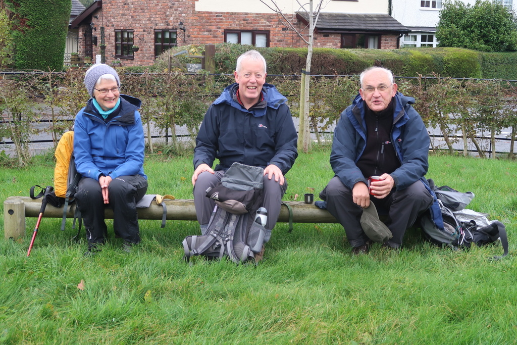
Norley was the site of the coffee stop in a children’s play area which was studded with large rocks which don’t belong in Cheshire. This promotes multiculturalism and annoys the people who mow the grass.
The leaders had planned a certain location for lunch but, after a suggestion from the back, they declared it early to avoid the rain that was expected to arrive shortly.
The afternoon section toured the edge of Blakemere Moss which is a lake. It used to be a bog but it was drained in the early 19th century. Subsequent attempt to grow timber on the drained area proved uneconomic so the Forestry Commission felled all the trees and allowed the moss to re-water by damning the gaws*. The restored moss now provides a habitat for a variety of wildlife, particularly waterfowl. Following the success of the project, it was announced in January 2010 that a further 33 hectares of drained fenland in Delamere Forest area would be re-watered. Given the amount of rain that has fallen recently, these lakes will be required to store it.
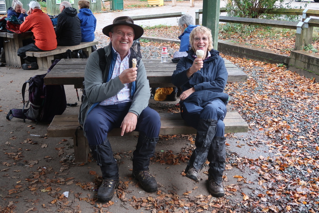
The visitor centre has toilets and a shop selling ice cream. Some people might think that eating ice cream outside on a cold, wet November day is perverse. Not Christine; she has form for cold weather ice cream consumption.
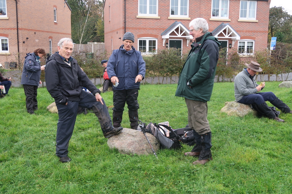
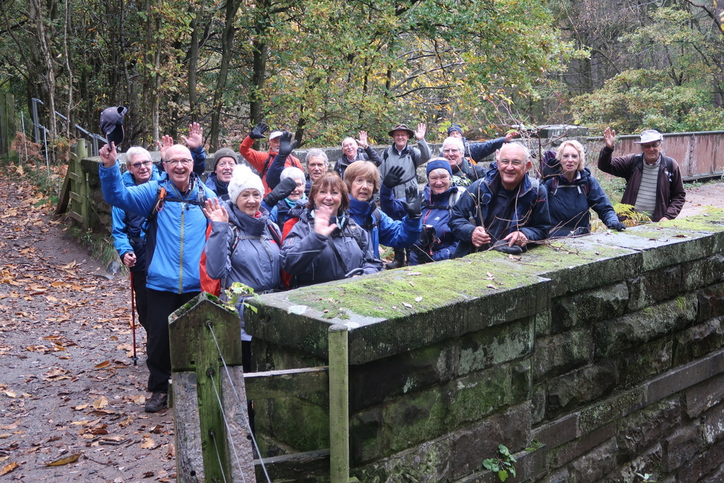
To liven up the bridge picture, Bill asked everyone to wave but it wasn’t a success. They need a rehearsal for anything complicated.
*GAW a small channel for drainage [3 letter Scrabble word]

20 Nov 2019 Market Drayton Leader: Keith, Length of walk: 12 miles, Driving Distance: 25 miles, Number walking: 17
Click on this link to see the route on a map.
The previous day had been very cold and the walkers were well wrapped up. However with very little wind and no rain the conditions were quite mild.
The walk started outside the toilets by the bus station where the leader disrupted the local foot traffic as he explained the few well-known facts about Market Drayton:
- The name used to be Drayton in Hales but was changed to promote the Wednesday market
- Robert Clive of India went to school there, carving his initial into a desk that is still preserved
- The town is famous for gingerbread.
The further facts that need to be exposed are:
- The great fire of Drayton destroyed almost 70% of the town in 1651. The buttercross in the centre of the town still has a bell at the top for people to ring if there were ever another fire. The effectiveness of this measure can be deduced by the total lack of reaction when a cyclist rang his bell behind the group walking through the town.
- Robert Clive ran a protection racket while at school in Market Drayton before moving to India and causing further devastation to that benighted country.
- The town makes more sausages and yogurt than it ever made gingerbread.
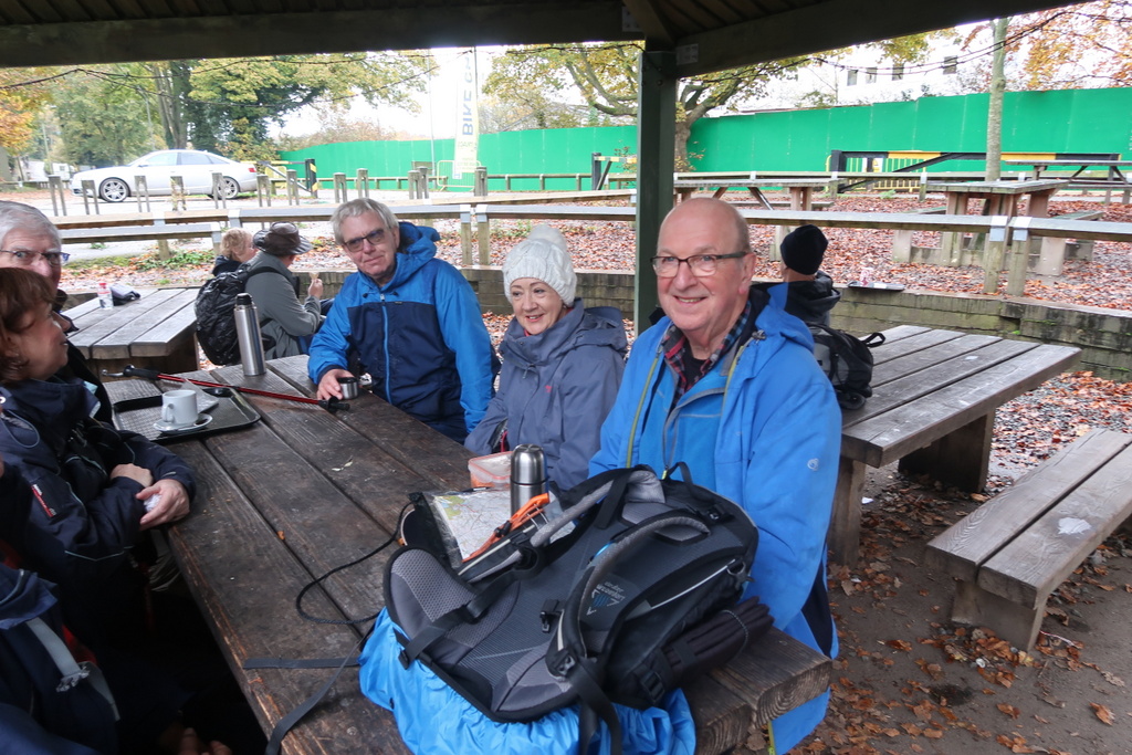
The walk passed some of the old timber frame buildings in town and crossed the river Tern passing Market Drayton golf course on Salisbury Hill. A sandy track and a metalled road took the group to Tyrley Locks for the coffee stop. Elaine provided marmalade cake and a delightful creation she called “blondies” which includes white chocolate.
While enjoying their cake and drinks, the walkers were unaware that Tyrley Locks sits at the end of a canal pound 17 miles long from the edge of Wolverhampton. The original water supply proved inadequate; the reservoirs were either leaky or too small. But now there is no problem; the canal receives a plentiful supply of water from Wolverhampton sewage works.
The walkers tramped through the muddy towpath for several miles before leaving the canal and immediately stopping for lunch. At this point the wind came up and blew the lid of Doreen’s butty box from the canal bridge. Doreen was pleased to see that the lid had not hit the water but realised that she would be unable to make her way to it down the steep bramble covered slope. Several would-be gallant souls came to assess a possible rescue but they all decided on the same course of action; buy a new box.
Before leaving the lunch site, the leader announced that although the planned route went nowhere near the site of the Battle of Bloreheath (east of Market Drayton), he would describe it anyway. The battle occurred as part of the Wars of the Roses in which one group of over-privileged aristocrats fought another similar group to maintain or extend their power. One group was labelled Lancastrians and the other Yorkists but this was not one county against another. Sorry Mike.
The Earl of Salisbury led a force of 5,000 Yorkists from Yorkshire to Ludlow to join their chums and Lord Audley led a force of 10,000 Lancastrians who hid behind a hedge to ambush them. The Yorkists spotted the ambush and pretended to run back which caused the Lancastrians to rush out to catch them (no self-respecting knight wants to hide behind a hedge for long). A confused battle ensued in which Lord Audley was killed, causing the Lancastrians to retreat in disarray. The Earl of Salisbury declared victory after several thousand men on both sides were killed or mutilated and his surviving forces spent the night on a hill near Market Drayton now called Salisbury Hill.
Back in the present the party made its way to Cheswardine a hamlet of about 1,000 souls famous for the fact that Paul’s cousin used to run the Fox and Hounds there. Although the route went close to the pub, Paul did not call in; the cousin was in charge 55 years ago.
Several gates impeded the progress and Graham kindly allowed younger members to undo the knots to try to find a successor. Keith did a reasonable job of undoing his knot but Doreen opened the gate and then walked off before closing the gate or handing on the responsibility. In her defence, she had suffered the traumatic loss mentioned earlier.
Another gate had been converted into a stile whereby a rickety wooden construction had been planted through the bars. This didn’t survive Mike’s attempt to cross but it was then shored up to allow the bulk of the party to reach the mud on the other side. Several walkers chose to cross the barbed wire fence where there was less mud and most of them made it without problems. Ralph hopes to make barbed wire fences an issue in the December parliamentary election.
One of the fields the group crossed featured lots of clumps of kex* by the path. Unlike the brambles snaking across the path, they didn’t trip up any of the walkers.
The last stretch of the walk started from Tyrley Locks, again the site of a refreshment stop, and followed the canal towpath to Market Drayton. Fortunately this section wasn’t as muddy as the towpath south of Tyrley Locks.


*KEX dry stalk of an umbelliferous plant [3 letter Scrabble word]