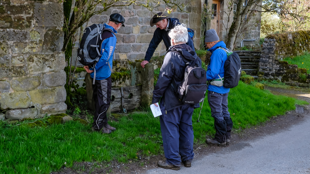
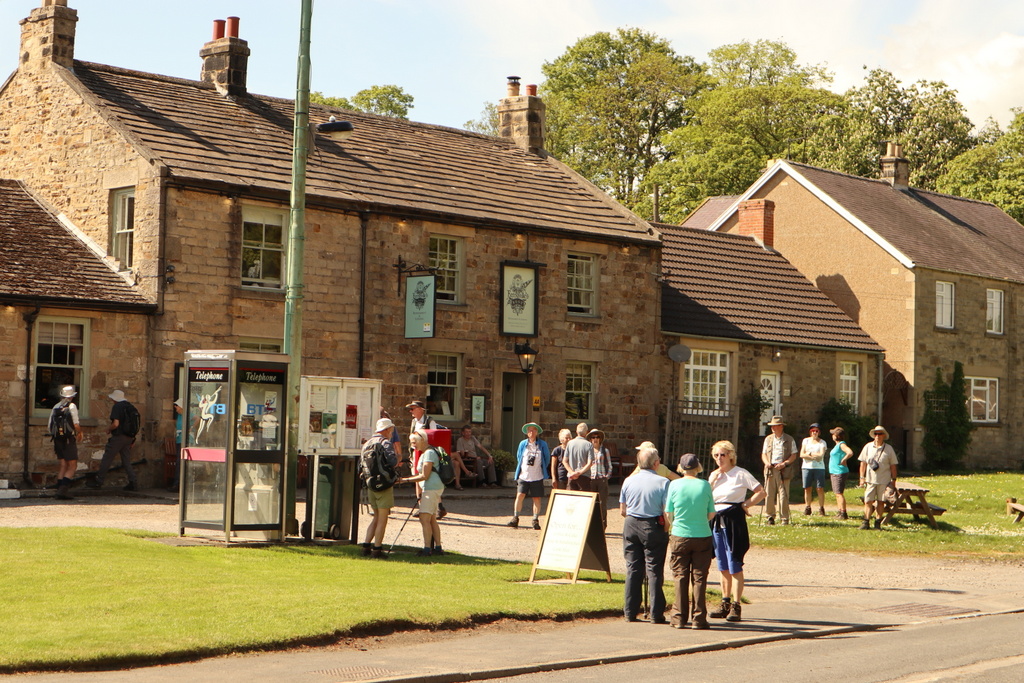
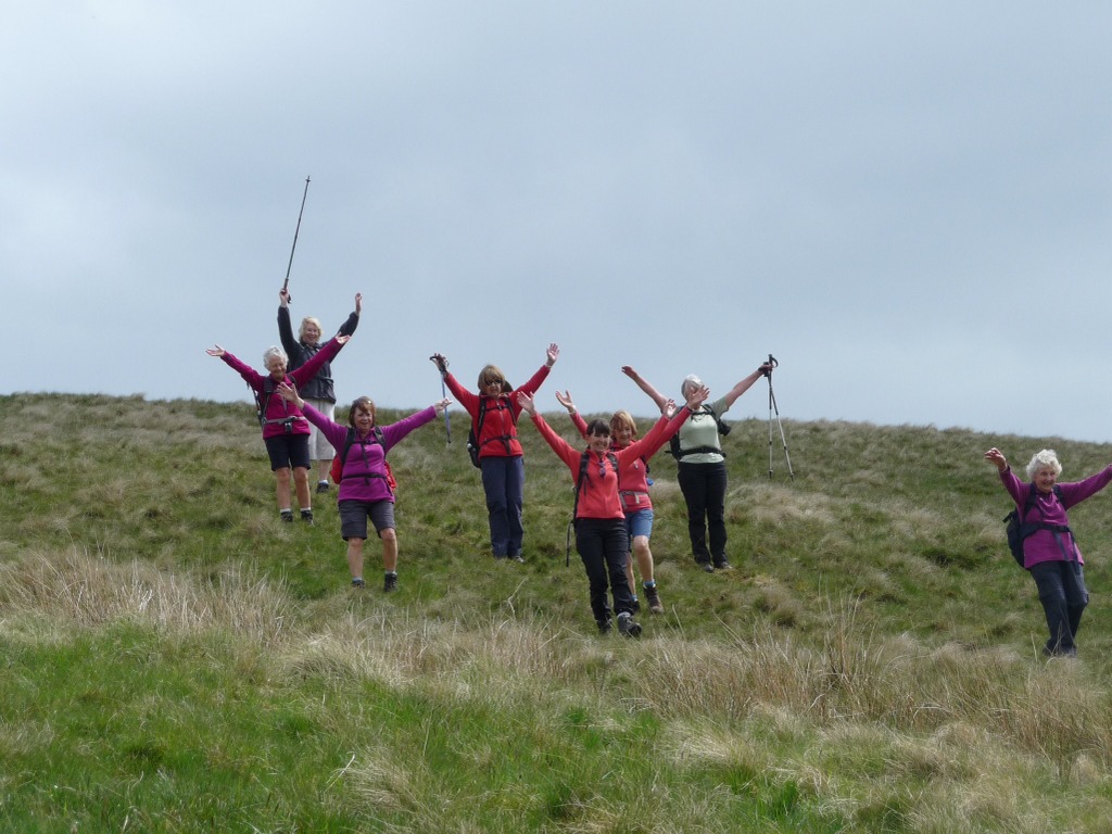
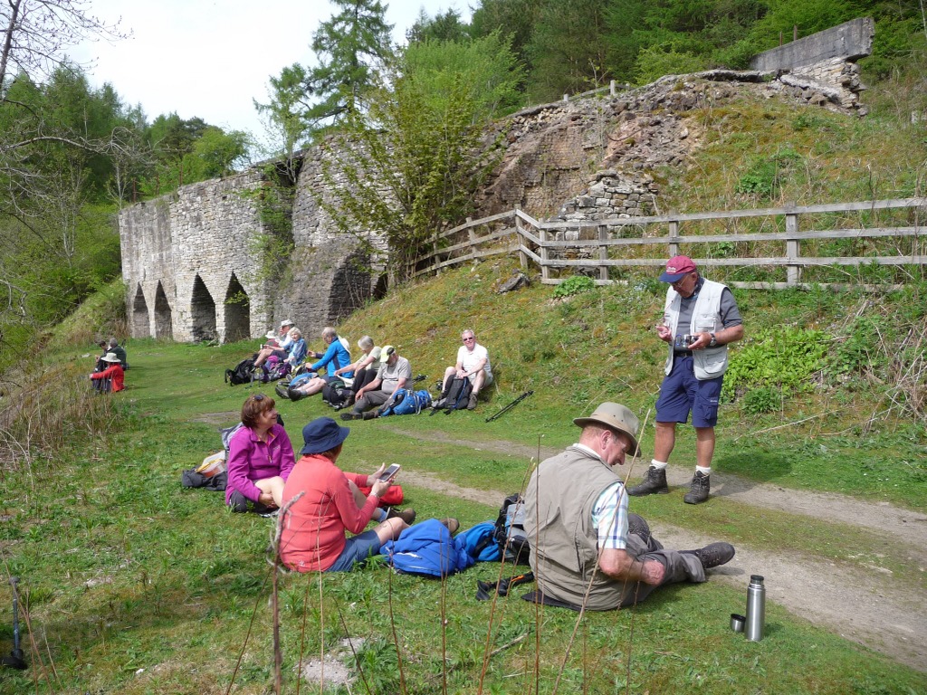
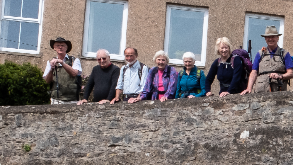
2 May 2018 Winster Walk Leader: Ralph, Length of walk: 10 miles, Driving Distance: 39 miles, Number walking: 15
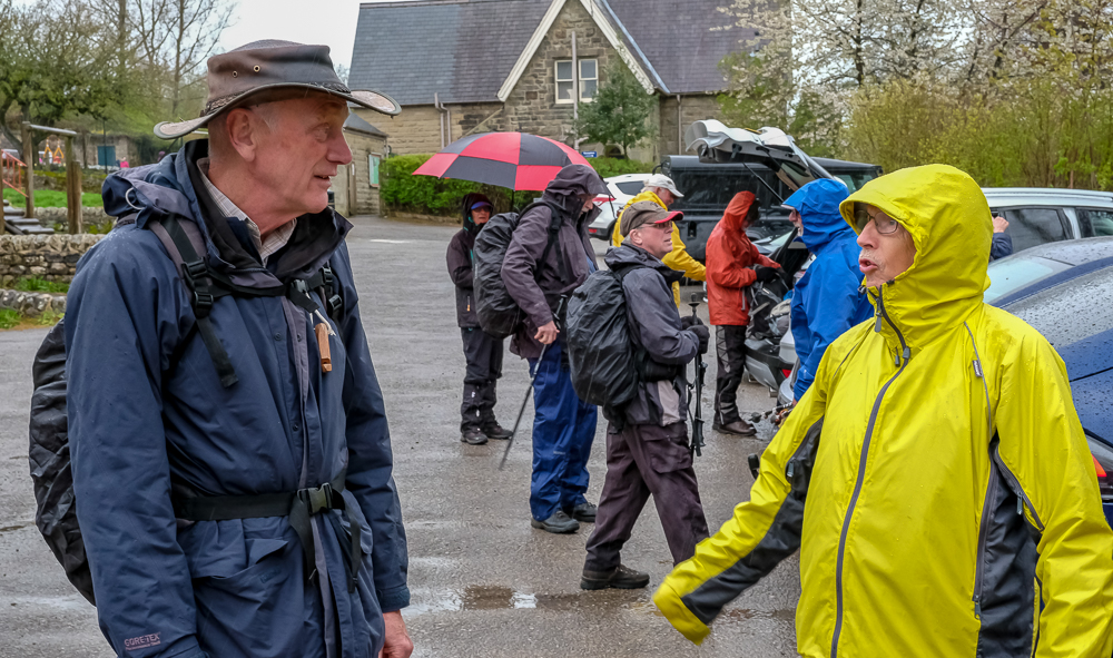
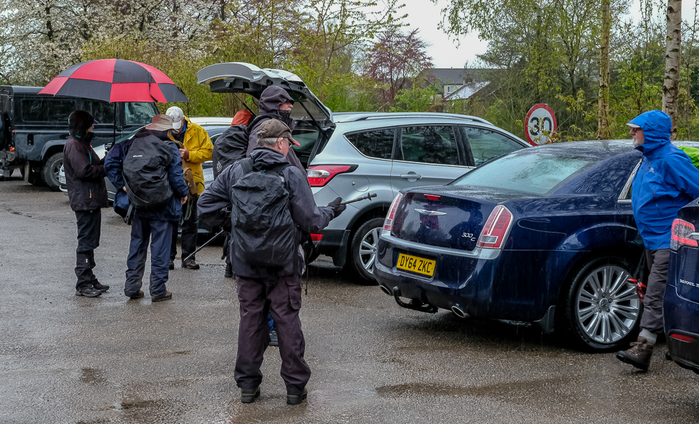
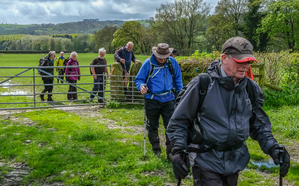
Everybody knew it had rained all night, it was raining at the start, and was forecast to continue. The forecasts disagreed about when the rain would cease. As a result we were all togged up for maximum water protection when we caught the bus from Winster to Darley Dale. As we walked away from the bus stop by the bridge over the Derwent, we passed a crowd of youngsters in wet suits ready for some river rafting. It was then that we realised the rain had stopped and the sun was going to be a frequent companion for the rest of the day.
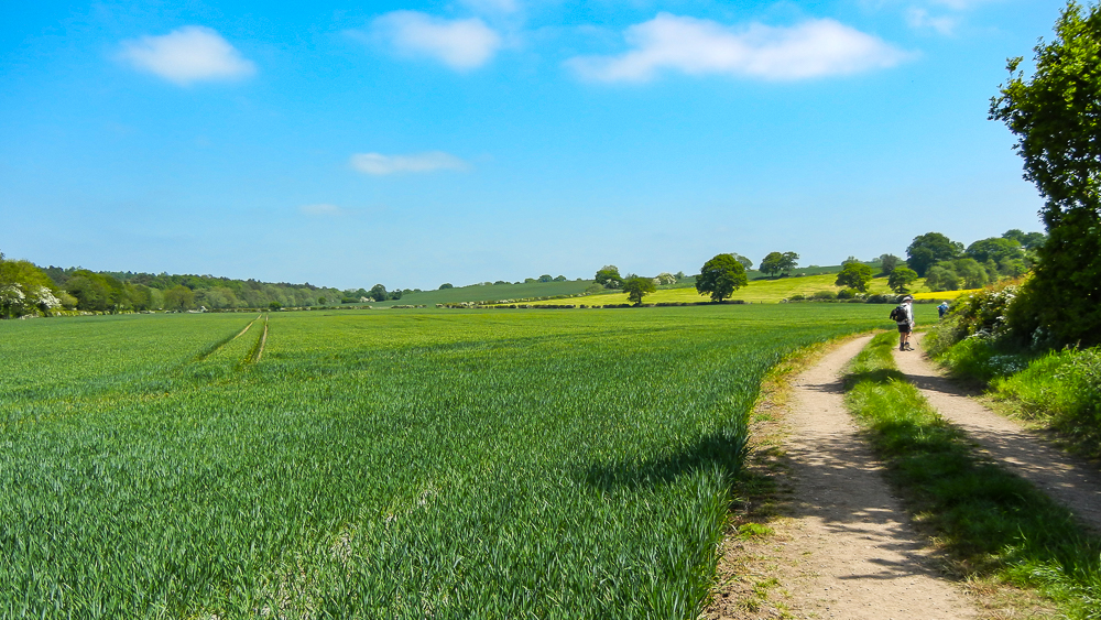
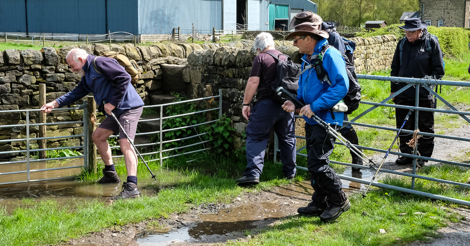
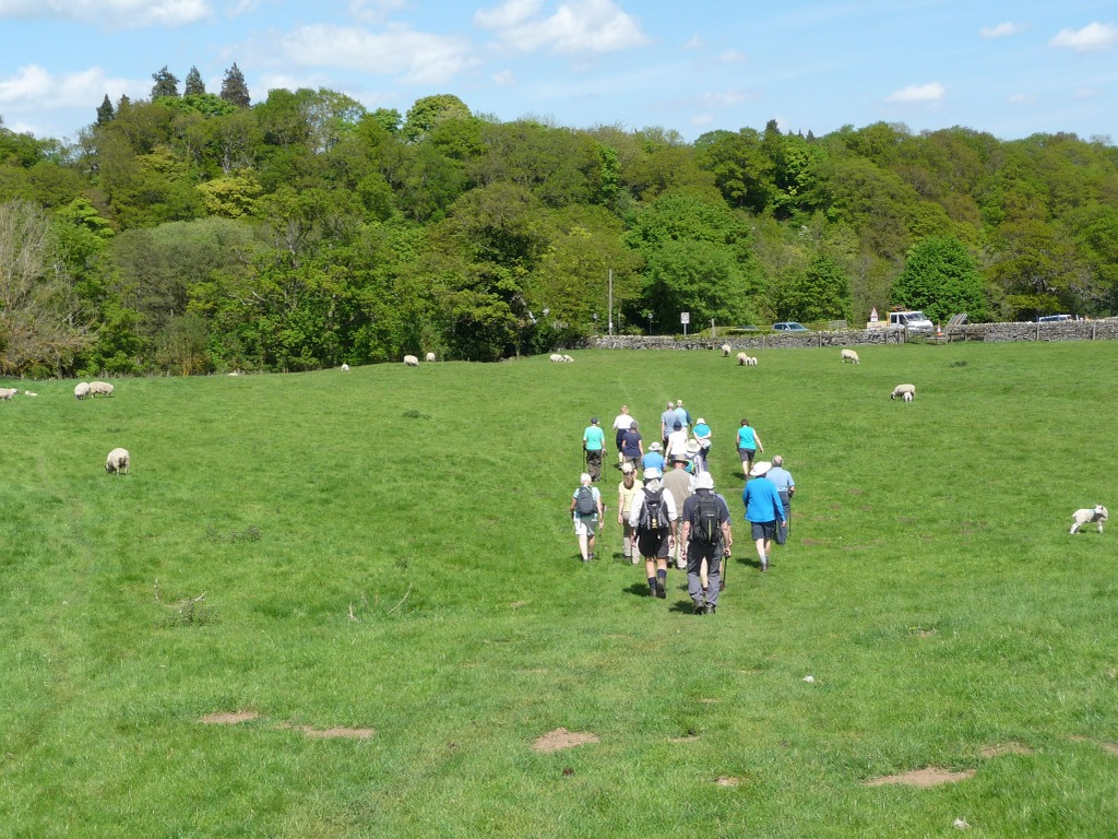
We left the road to pass through Darley Dale cricket club and then followed the Derwent Valley Heritage Way through sodden fields. A property that housed a kennel business gave some momentary concern as a couple of substantial dogs barked a welcome or threat. The fence held firm and we carried on to Darley Dale church where we stopped for coffee. This provided the opportunity for us to remove over-trousers, rucksack covers and any other unnecessary layers.
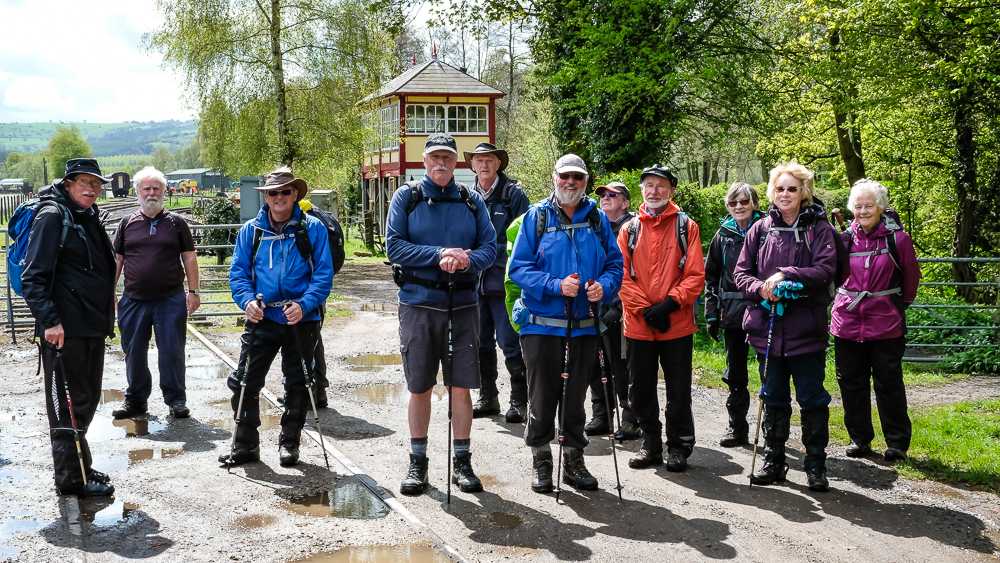
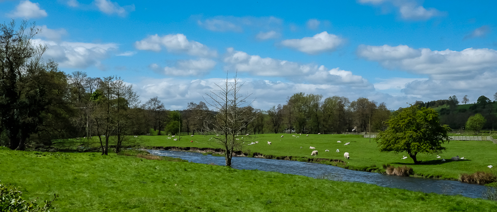
The Derwent was, not surprisingly after all the rain, in spate as we walked alongside past Rowsley South station. After a brief stop for pictures, we moved on to Caudwell’s Mill on the river Wye, which joined the Derwent nearby. This ancient mill was remodelled in 1906 with roller mills (to avoid millstone grit or rough sandstone appearing in the flour). By 1912 the management decided to fit advanced machinery to allow finer grades of flour to be produced and contacted a top German firm to supply it. It took until December 1913 for contracts to be signed and the equipment and the required workmen were on site by August 1914. Coincidentally the First World War started and three of them were arrested and sent back to Germany. However, it appears that the senior men were allowed to install the machinery before being interned on the Isle of Man. They returned safely to Germany in 1919 and the mill management generously paid for the machinery in 1924. Nobody knows if earlier payment might have avoided the rise of Hitler.
We took our lunch on benches by a sports field which also boasted a portaloo that had been conveniently left unlocked. After making use of its facilities, we set off for Stanton in Peak.
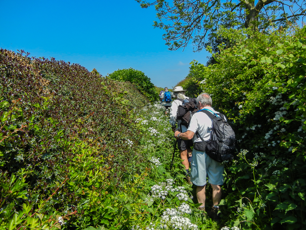
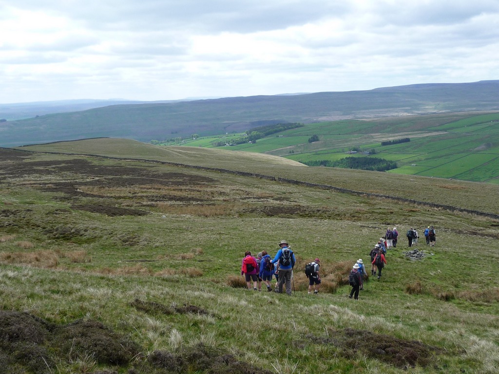
There was some confusion about which way to go and this gave a group of rebels the opportunity to shoot ahead of the leader on what they thought was the obvious route. It wasn’t and they were brought back to join the group as we made the long slow climb though the field.
When we reached the road there was a stone-built viewpoint with seats from where we gazed out towards Bakewell and Chatsworth and took the opportunity to catch our breath.
We entered Stanton in Peak as the primary school was emptying and we had to step carefully to avoid trampling the little ones. By the village pub we examined the fancy cars parked nearby and puzzled over the pub’s name – “The Flying Childers”. The picture of a horse gave us a clue and Bills’ Googlephone gave us the details. Flying Childers was a famous racehorse owned by an 18th century Duke of Devonshire. It was so fast that it was reputed to have won a race on the Round Course at Newmarket at 60 mph.
Three ladies emerged from pub and one, asked if she would like to join us, said the hills would be no problem because she is from Tasmania. We now know that Tasmania is v. mountainous.
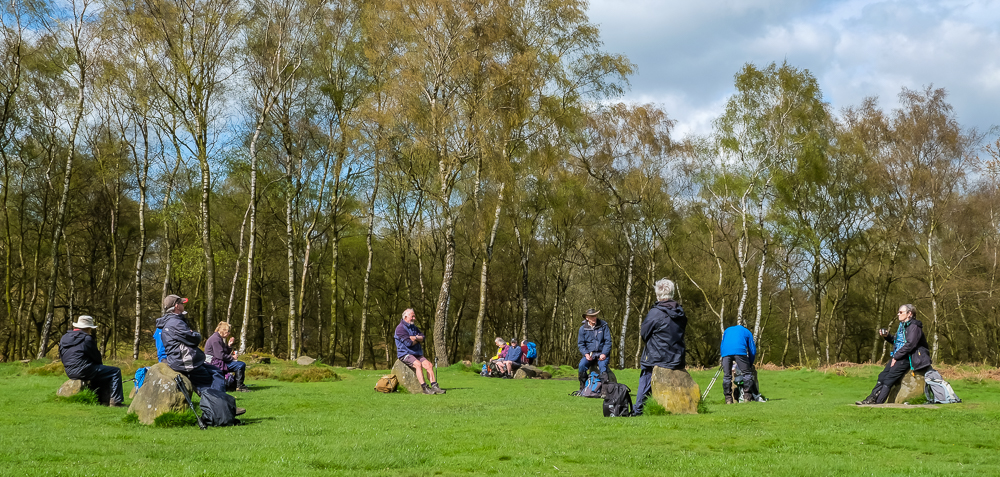
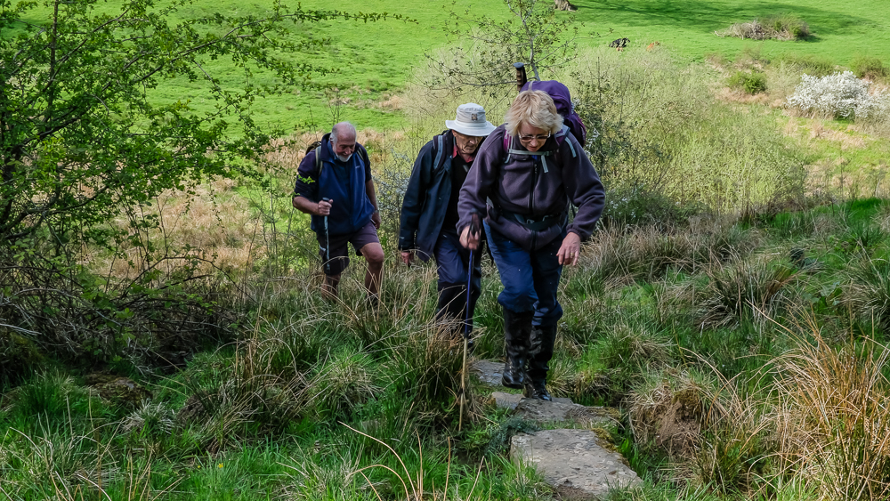
Next to the village is Stanton Moor and this features the famous monument known as Nine Ladies Stone Circle, first recorded in 1782. We stopped there for coffee and the stones provided some of us with a seat but Christine took the opportunity to do a lady’s dance. Sadly this was not recorded on video. As usual with these ancient monuments, nobody knows what they were used for and the name itself is misleading. Actually there are 10 stones (the last one, discovered in 1977, lying on its side) and the “circle” measures 11.5 x 10.5 metres. Ralph declined to invent a story about the monument.
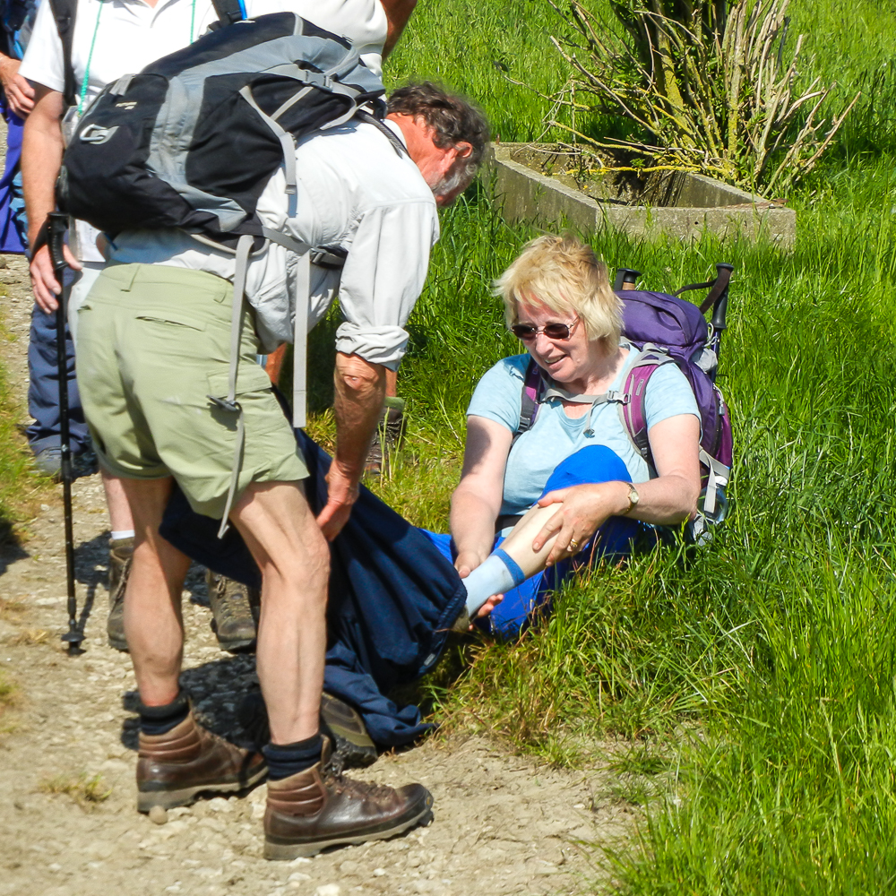
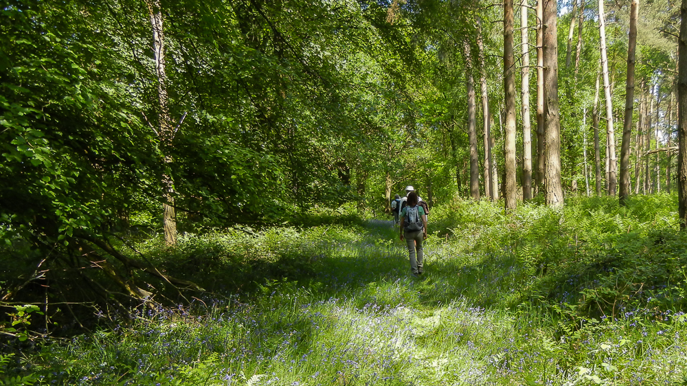
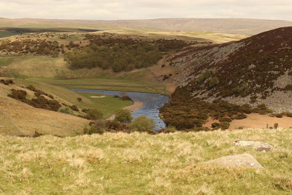
We saw Winster in the distance from Stanton Moor but it disappeared as we followed the undulating and sodden path to it in the sunshine. The final section took us up the hill into the village along a path that was paved with stones which appeared to have been laid in a stream which flowed over them making for a slippery climb. All survived without injury or an embarrassing fall.

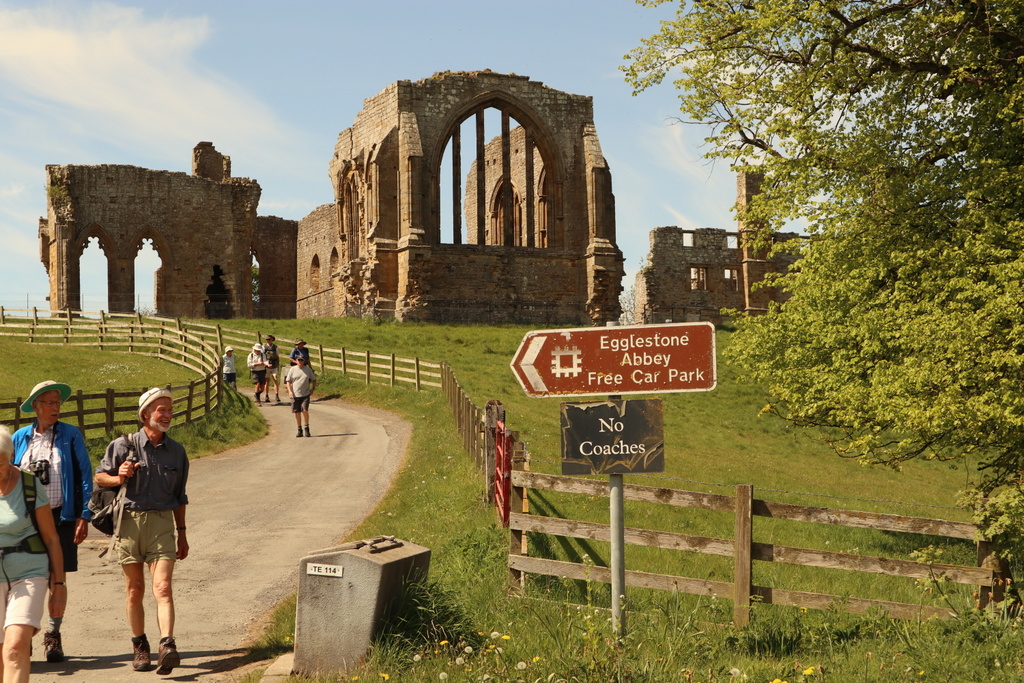
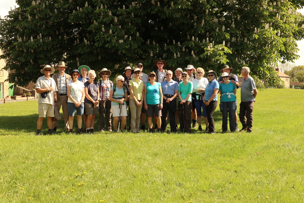
15 May 2018 Egglestone Abbey to Whorlton Walk Leader: Bill, Length of walk: 7 miles, Number walking: 22
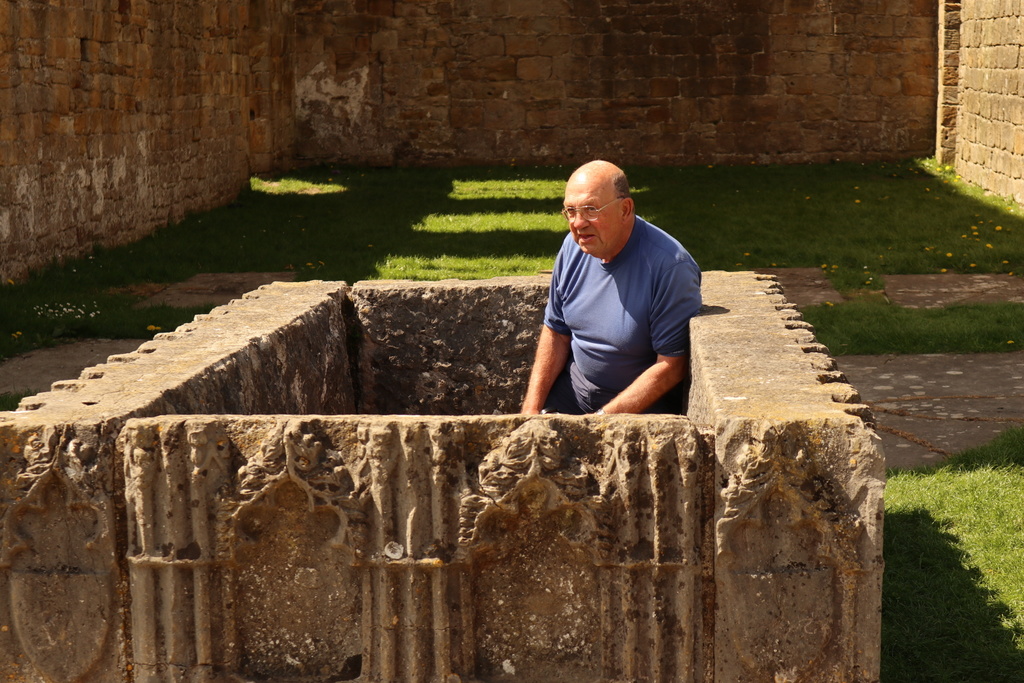
The first walk of the 2018 holiday started after the individual cars turned up at the English Heritage site of Egglestone Abbey overlooking the wooded valley in which the river Tees flows. The early arrivals discovered the large stone tomb of Sir Ralph Bowes and assumed a connection to our own Ralph. This may be the case; Ralph gets around a lot and his ancestors may have done the same. The aristocratic connection may explain his habit of giving commands and taking smoked salmon and cucumber sandwiches for his packed lunch.
The owners of Rokeby Hall seized some of the stonework of the abbey after the dissolution ordered by Henry VIII and used it to pave their stable yard. Their descendants handed the abbey over to the Ministry of Works in 1925 and, probably feeling guilt for making the abbey even more ruinous, returned a collection of architectural stonework, including the tomb of Sir Ralph. When the time comes for us to finally park Ralph, the tomb has space for him and his seven pairs of walking boots (some of which fit).

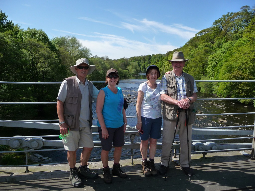
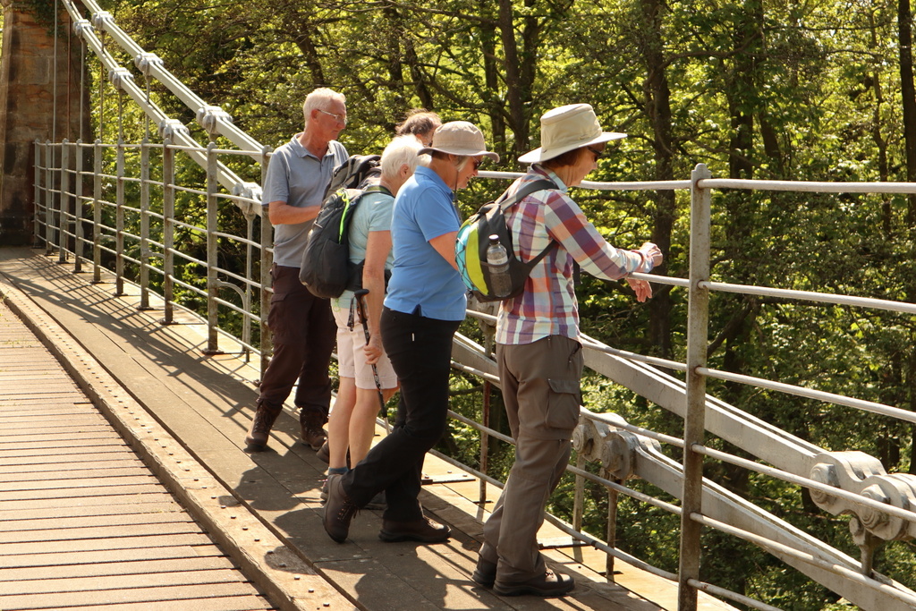
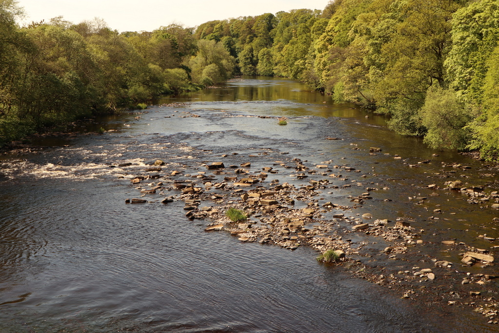
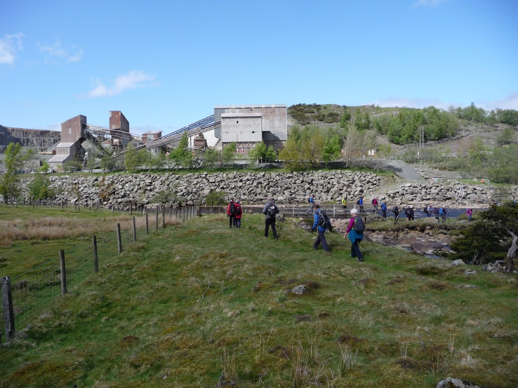
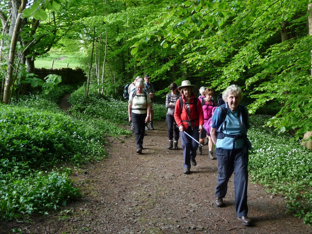
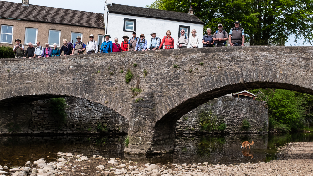
We set off down the hill from the car park and soon entered the wooded valley as we followed the Teesdale Way down river along the south bank. After passing the confluence of the Tees and the river Greta we celebrated by having a picture on the bridge over the Greta. After that the path took us away from the water until it crossed the Tees over a suspension bridge that came with a health warning (a weight limit of 3 tons). This is the earliest suspension road bridge in the country, erected in 1831 with a timber deck still supported by the original wrought-iron chains. It allows access to Whorlton village from Yorkshire. A large sign on the old toll house details the costs of crossing before the tolls ceased in 1914. The bridge lies at the bottom of a steep hill from the village and we were promised a drink in the Fernaville Rest, the village pub. After climbing the hill we also had to pass through most of the village to reach the pub, but a drink in the shade restored our spirits.
After a curious detour round the village green we left the village where we entered it and took the path back to Egglestone Abbey on the north bank of the Tees. The sun shone strongly throughout the walk and we were glad to take advantage of the shade of the woodlands on the occasions when it was available.
It was a short drive from the abbey to Middleton-in-Teesdale, where we immediately filled the hotel car park. The Teesdale hotel has a tall but narrow arch leading to the car park and our drivers were pleased that they didn’t add to the scrapes on the brickwork as they negotiated it.
16 May 2018 Bowlees and along Teesdale Walk Leader: Ralph, Length of walk: 8 miles, Number walking: 23
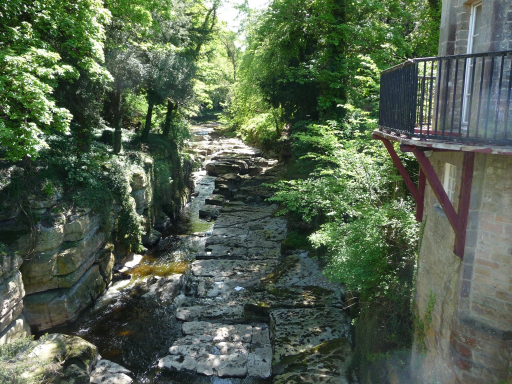
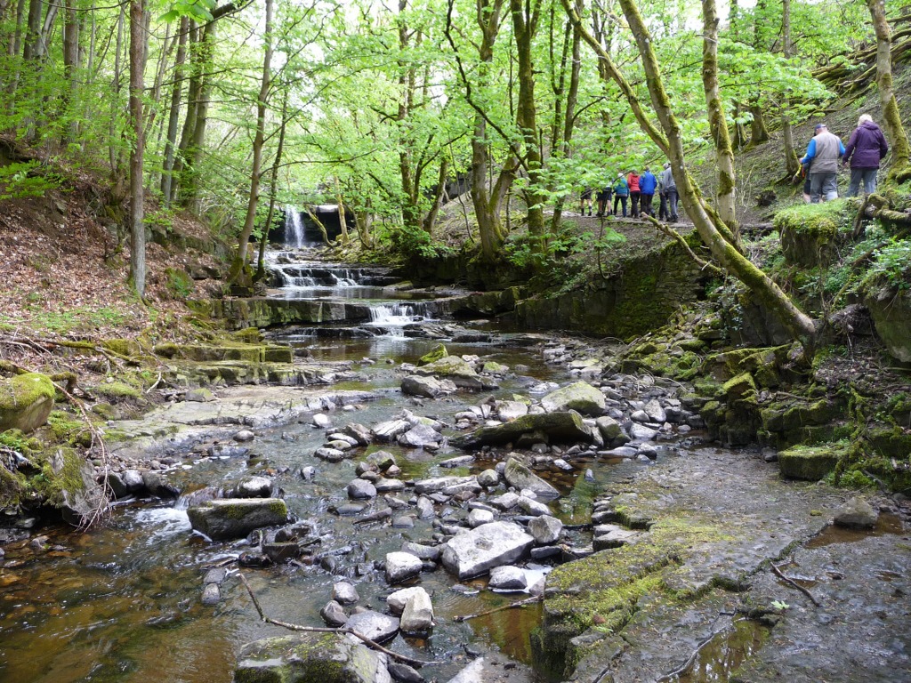
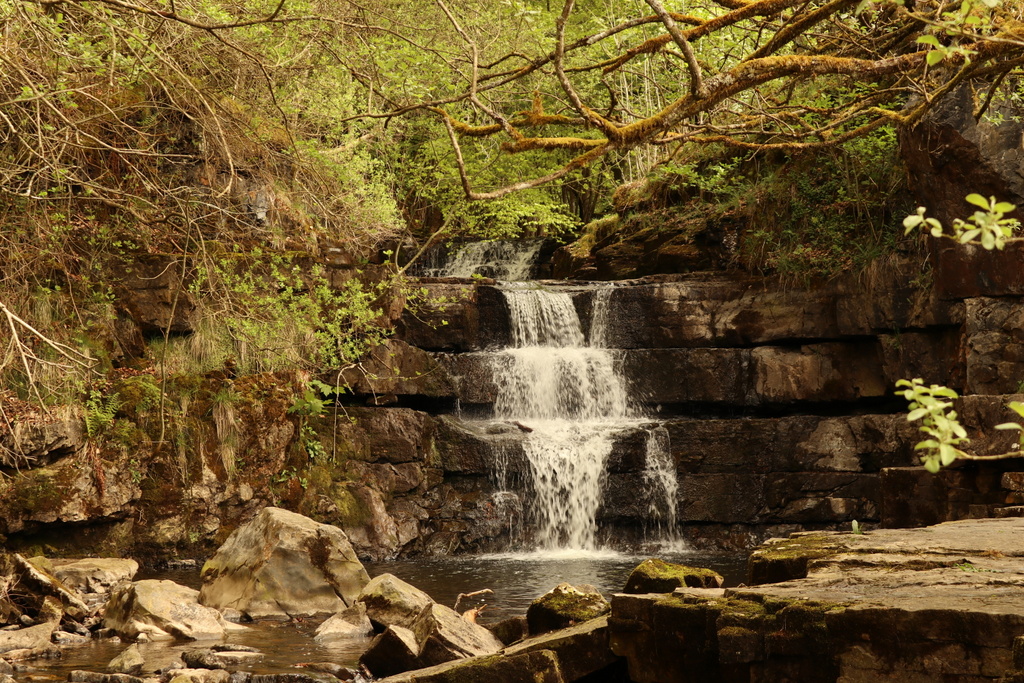
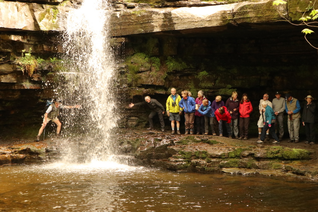
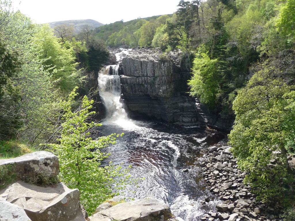
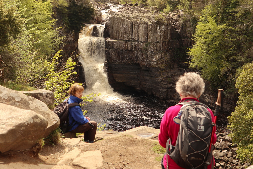
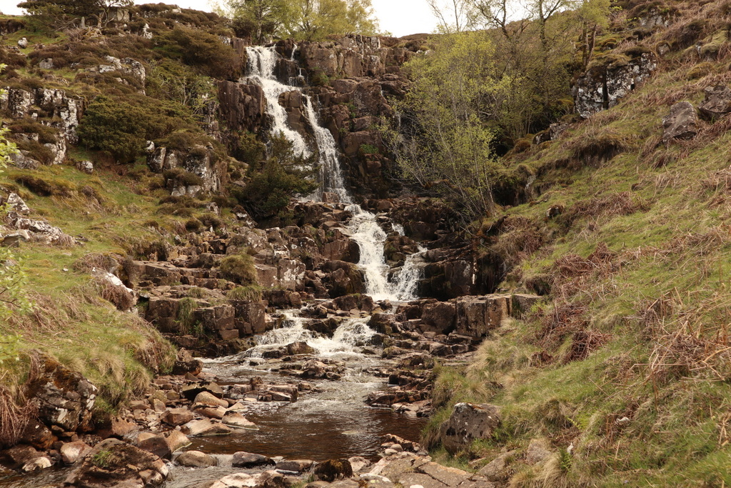
Fuelled by the substantial hotel breakfast, we drove to Bowlees, which has a visitors’ centre to explain the delights in the area. Our initial mission was to visit the waterfall known as Gibson’s Cave. The water has eroded the rock in such a way that the harder top layer overhangs the lower enabling those who don’t mind getting a bit wet to walk behind the waterfall. William Gibson is the alleged fugitive who lived hidden behind the water. The story has it that the locals brought food and clothes to his soggy hiding place. Ralph didn’t make up this story; it appears on the official signs so it must be true.
We returned to the car park for coffee and an extended break to use the single toilet but we were unable to use the feature misidentified as an obstacle course. It is in fact a hammock for nocturnal visitors to lie in while they watch the stars through a gap in the trees.
Our path continued past the visitors’ centre up the moor which was dotted with whitewashed buildings. Ralph announced one such collection as the hamlet of “Dirt Pit”. The internet provides at least two explanations of this odd name:
It is a farm that was originally known as “Dor Peth” which once housed a chapel and a convent owned by Rievaulx Abbey.
“Dirt Pit” is the local name for the village of Ettersgill but both places appear on the OS map.
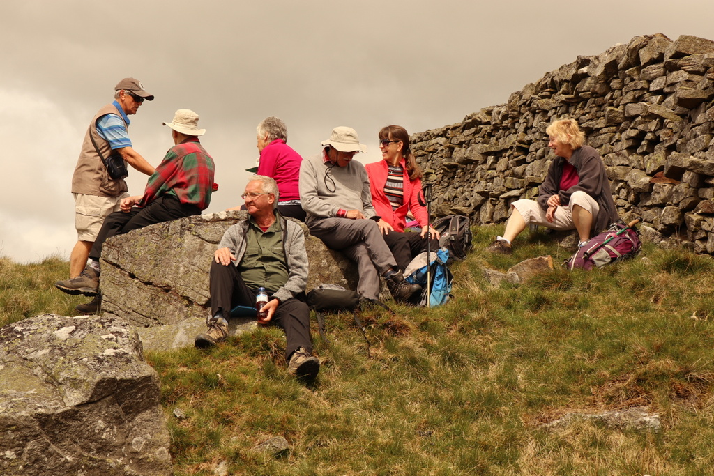
After our climb up the moor it was time for lunch and Ralph had selected the grounds of a chapel as a suitable spot. There were no graves to sit on but the very mossy lawn was comfortable. Mike entertained us with his description of the capabilities of his free National Trust binoculars. By a lucky accident the lenses had been made by the prestigious manufacturers Leica-Zeiss without the brand name appearing anywhere. This means that Mike can see things denied to others; his carers look after him very discreetly.
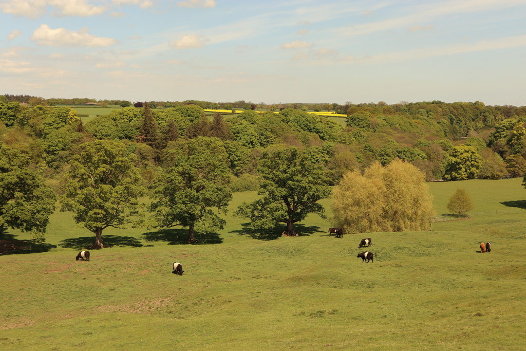
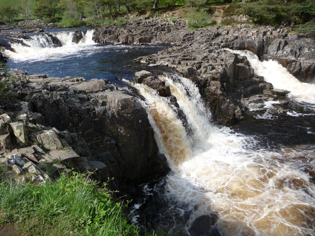
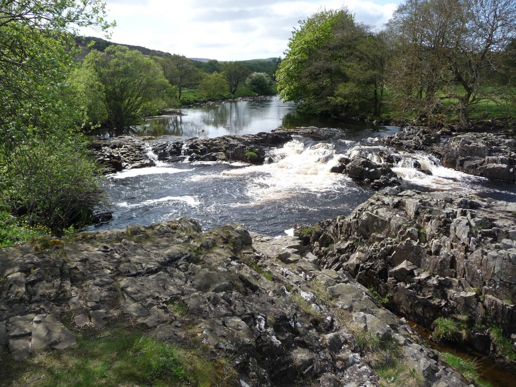
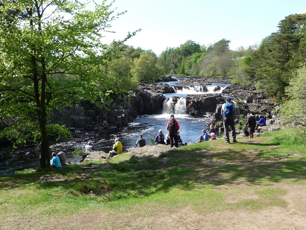
After lunch we crossed the Tees to join the Pennine Way on its easterly journey along the south bank of the river. We passed Cronkley on a bend in the river where there is a large quarry extracting dolorite for construction aggregate. The bluestones used for part of Stonehenge are a kind of dolorite but they didn’t come from here. Dolorite dominates the island of Tasmania, which regular readers will know is very hilly.
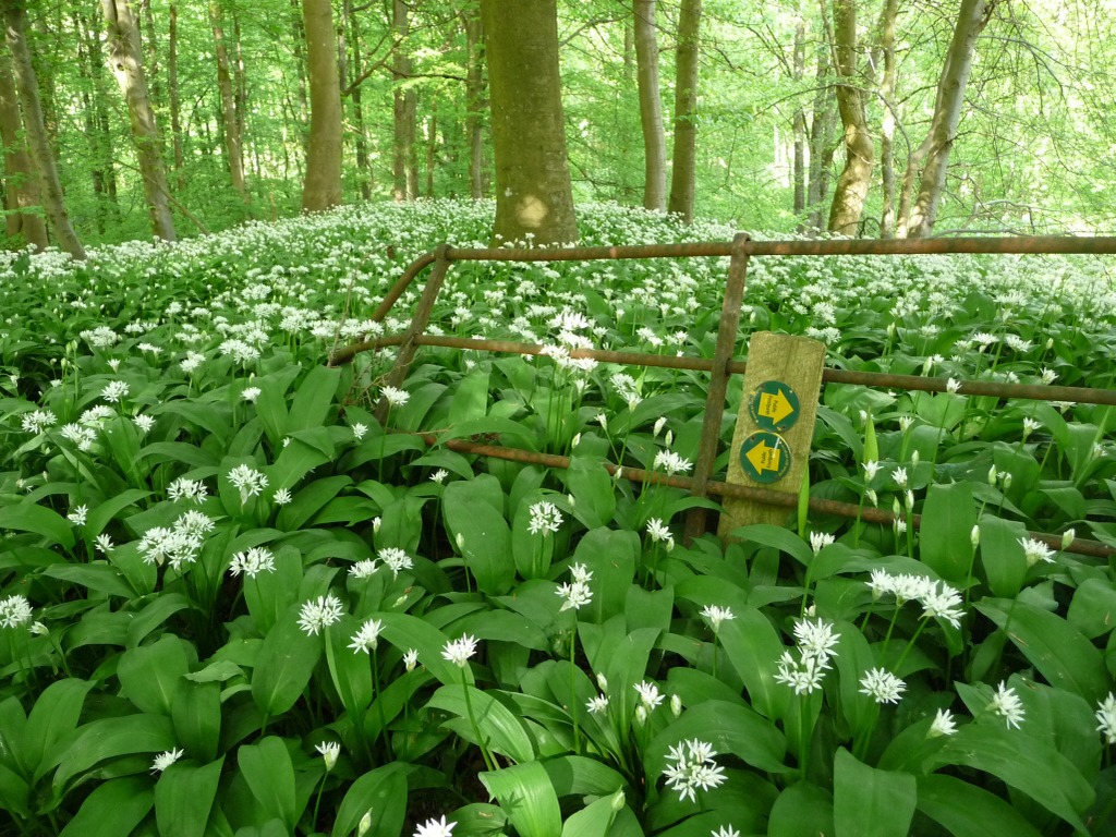
The path along the river featured many juniper bushes, which have been attacked by some blight that required walkers to brush their boots with disinfectant. However, the dominant features of this section were the waterfalls at High Force and Low Force. In between the two falls was a pedestrian suspension bridge that is so delicate that a sign insists that only one person crosses at a time. Our party complied, mostly, before sprawling in the sunshine on the rocks overlooking Low Force. From there we crossed two fields to reach the Bowlees Visitor Centre, where Stephen discovered a large display using the geological map of England and Wales which William Smith published in 1815.
After dinner Ian Clarke delivered the questions which Julie had prepared for the quiz and the winning team (by one point) was Kevin Dean, Paul Billington, John and Doreen Minshull. Another popular result!


17 May 2018 Monks Moor Walk Leader: Bill & Ruth, Length of walk: 8 miles, Number walking: 21
For this walk the cars stayed in the hotel car park and we assembled outside the Co-op then walked to the edge of the town to begin our ascent to the top of Monks Moor. A children’s playground lay on the route but was populated entirely by sheep, who struggled to use the swings and trampoline. A farm track passed over the footpath via an unnecessarily large bridge and then we just climbed until we reached a sheltered spot for coffee. John issued the biscuits that were the prize in the quiz but Christine acquired an unwanted deposit on her trousers from one of the sheep that roam the area. With the benefit of the biscuits and drink, we pushed on to the peak. On the horizon we could see the buildings of the Teesside industrial plants. Nobody claimed to be able to see Paddy’s Wigwam (not even Mike with his Leica-Zeiss binoculars).
The site selected for lunch turned out to be another sheep’s toilet by a wall; there wasn’t much choice.
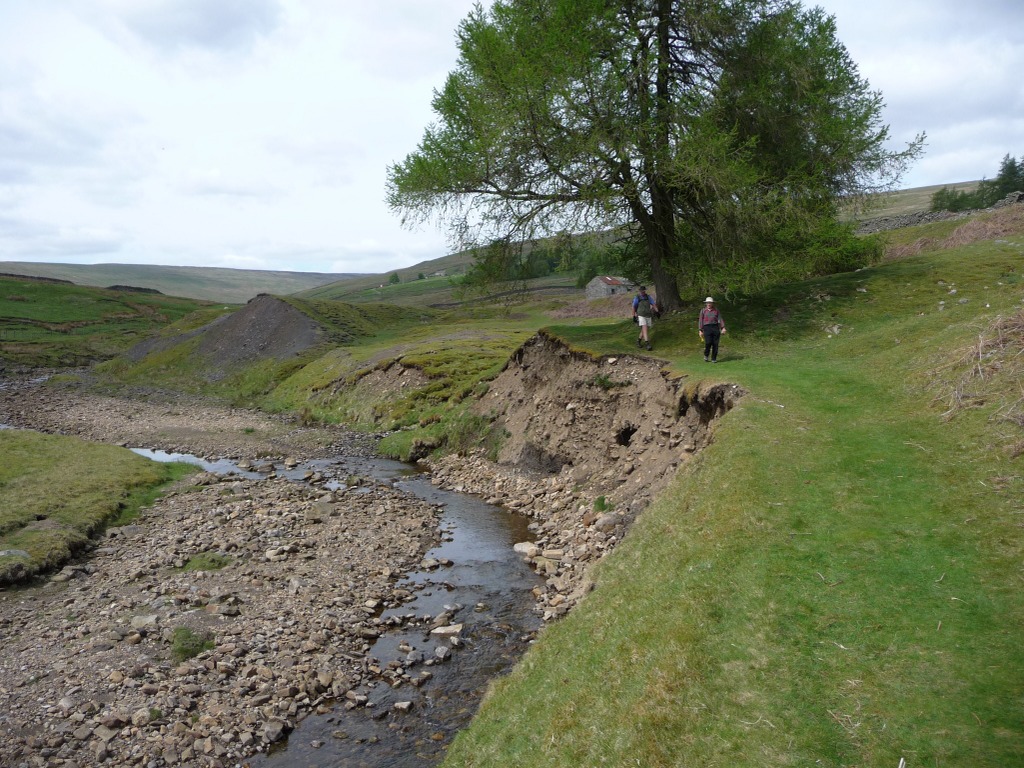
Since the journey back took us through an area of abandoned mine workings, Stephen was in his element. The chosen element was Lead, which used to provide employment for the local workers. There was much examination of stones scattered about and Stephen identified galena (lead ore) in some of them. The members of his Geology class were delighted to be on a field trip.
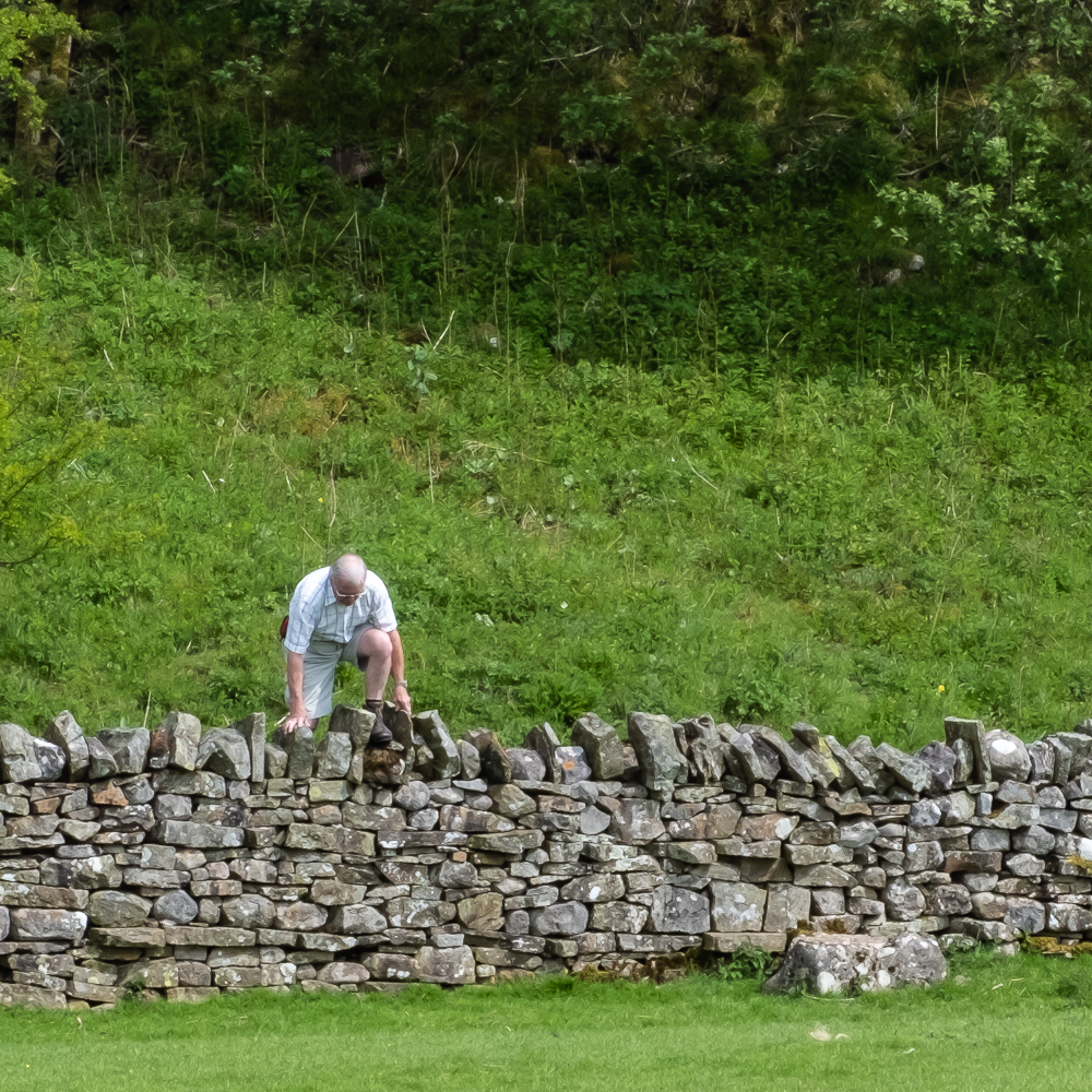
The afternoon coffee stop was by an old lime kiln before we dropped to the bottom of the valley. Bill offered the choice of a walk down the road or a short steep climb into a field. Everyone recognised that he was recommending the short steep climb, so we went that way. It was steep and relatively short but then a long, less steep ascent lay ahead. After a pause at the top of the field we set off down past Aukside Villa with its enormous Monkey Puzzle tree and through fields and a woodland path into the western end of Middleton-in-Teesdale.
This evening’s entertainment gave our musicians a chance to bring out their instruments as our party and some locals gave voice to some old familiar songs.


18 May 2018 Kirkby Stephen Walk Leader: Ralph, Length of walk: 7 miles, Number walking: 20
For the final walk of the holiday we drove part way home to the familiar surroundings of Kirkby Stephen. We renewed our acquaintance with the bakery on the High Street and set off along the river Eden. It wasn’t long before we saw the first of the dead creatures that characterised this walk. This was a sheep and we had to hurry Doreen away before she could find the orphaned lambs and give them a cuddle.
While we enjoyed the coffee stop, a couple of low-flying propeller planes flew by and Mike swore one was a WWII Mosquito. He wasn’t using his Leica-Zeiss binoculars at the time.
The next stage through a wooded path saw the death toll mount when we found three fledged but young thrushes on the path.
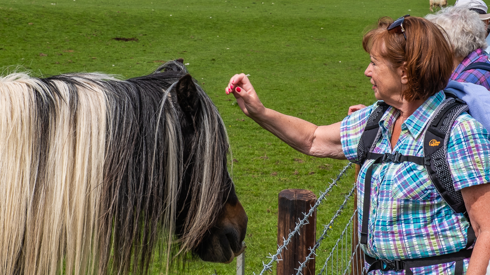
We skirted Nateby as we made our way towards the railway and passed some foals and calves to counteract the deaths we had seen earlier. Ralph told us we were trespassing on the wrong side of the fence but then realised that his map was upside down. We walked under the railway and stopped for lunch on the edge of a deep depression opposite a flock of sheep. Our arrival prompted the flock to cross over to our side in search of food but none was bold enough to seize anything we brought.
In the next field Ruth met a farmer’s wife who had been at school with her sister, so they had to catch up before we could move on to the road from Ravenstonedale. In the copse by the A685 we found at least six dead crows and abundant shotgun cartridges. This was truly a murder of crows.
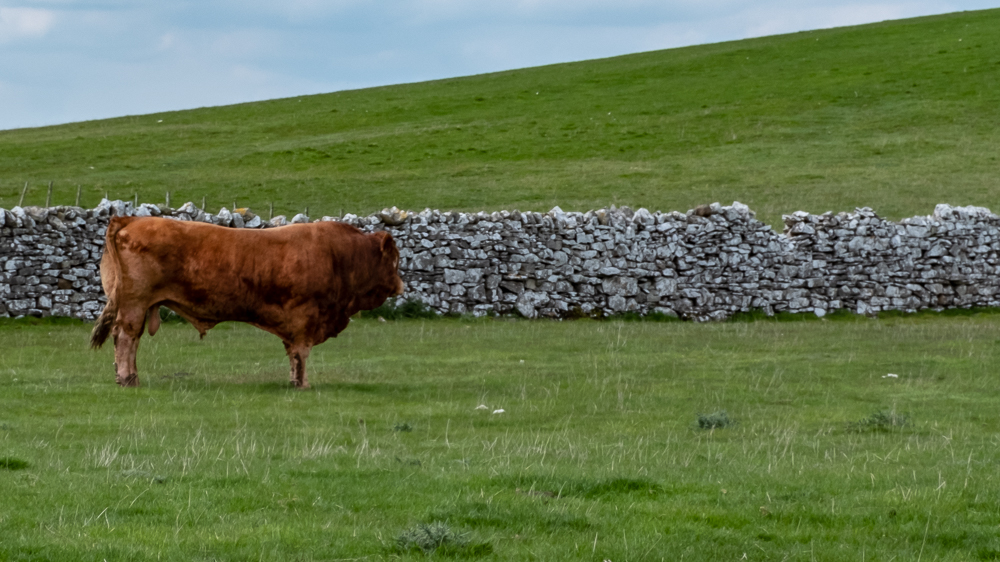
Some road-walking across Waitby Common took us to our final coffee stop by the railway, where Stephen learned of the outrageous gossip concerning Prince Harry’s true father. In the next field we found a weary bull who managed to stand up as we passed but declined to menace our party.
After a second dead sheep we found a black calf that looked dead but wasn’t. By this time we were on the edge of Kirkby Stephen and we emerged by the grammar school next to the car park.
The sun was shining as it had been for almost the time during the four walks and we set off for home satisfied that Ralph had organised another superb holiday. Well done to Ralph!


23 May 2018 Abbots Bromley Walk Leader: Barrie, Length of walk: 12 miles, Driving Distance: 40 miles, Number walking: 10
Previous visits to Staffordshire have usually stuck to the Moorlands or the Madeley area but this time we had a look at the village of Abbots Bromley. It was originally owned by the abbey at Burton on Trent and was a centre of agriculture until the North Staffordshire Railway failed to build the branch line for which they had permission. It lost its market and fairs and declined until the 1950s when it became a dormitory for people driving to the urban centres of the Midlands.
The village isn’t totally dead. We had trouble finding somewhere to park on the main street but we managed to park in a layby or in front of houses where the occupants didn’t mind.
We set off north along the Staffordshire Way and walked in a circle which had the Blithfield reservoir at its centre. We actually glimpsed part of it on our way but it wasn’t a significant feature of the walk. Our leader had recced the walk in February when the paths looked totally different from those we walked on. In some parts we had to beat down the vegetation including nettles, thistles and brambles. This led to frequent donning and removal of overtrousers, which were unnecessary because the weather, after a cloudy start, was dry and sunny throughout.
The route avoided all centres of population but some of the farms were busy with harvesting grass and ploughing. Ralph was disappointed that we passed over no bridges and he also missed the deer that we flushed out of a field of oilseed rape. Before the deer we also disturbed a couple of hares demonstrating the rural nature of the terrain.