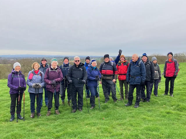
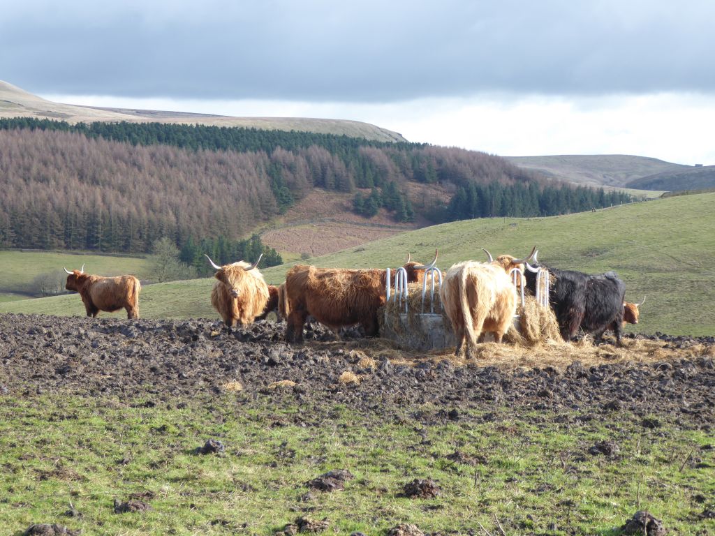
01 Mar 2023 Macclesfield Forest Leader: Marie, Length of walk: 9.5 miles, Driving Distance: 18 miles, Number walking: 17
Start from What 3 Words ///portable.unwound.cultivation SK11 0NE
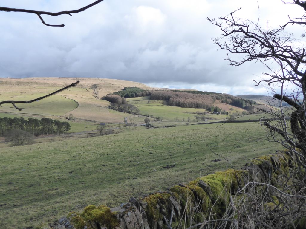
An undulating walk with ups and downs through some fields but mainly along forest tracks and quiet lanes.
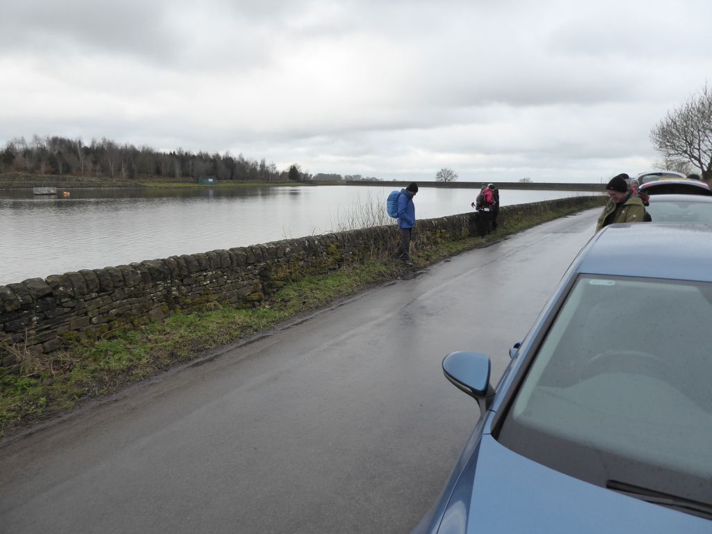
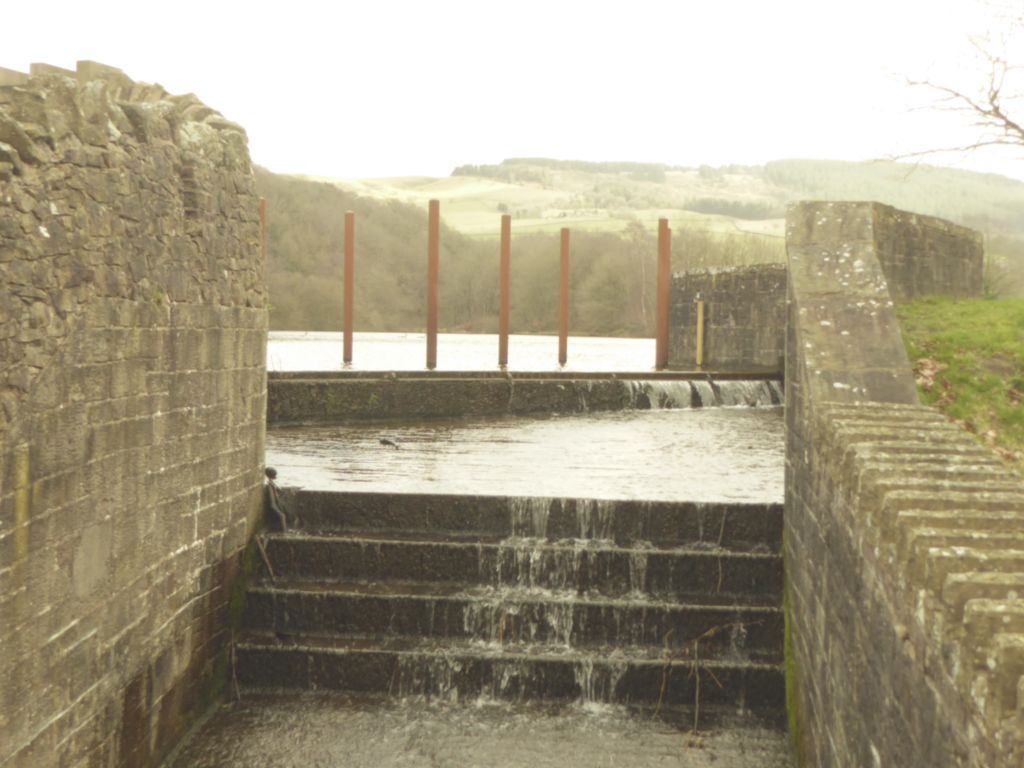
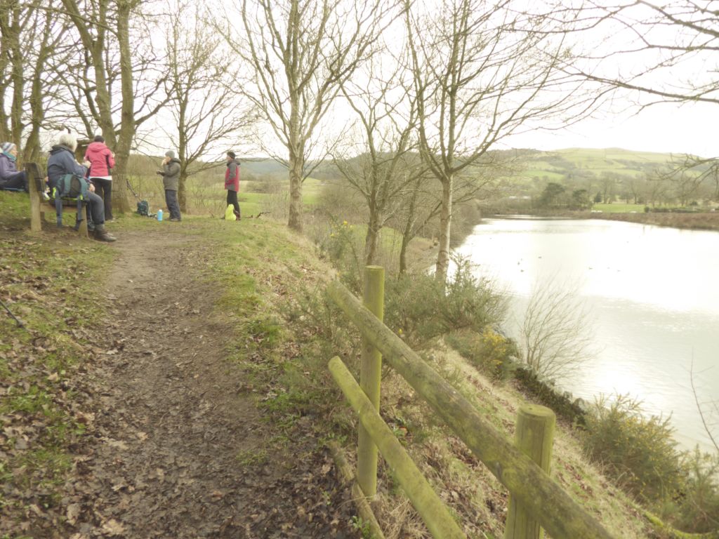
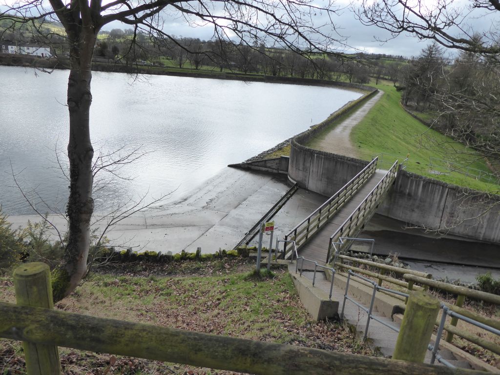
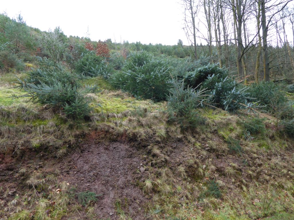
The walk starts out from the Leather’s Smithy pub by Ridgegate Reservoir. It then turns up through the woods to emerge on a quiet lane which heads towards the Hanging Gate Pub but just before turns off to the Right onto Meg lane. It then picks up the Gritstone Trail and meanders between both Bottom and Tegg’s Nose reservoirs to a gravel track that skirts up along the edges of the country park and climbs steadily up into part of the ancient forest which can sometimes offer a quick glimpse of a stag or a hare before the track reaches Forest Chapel.
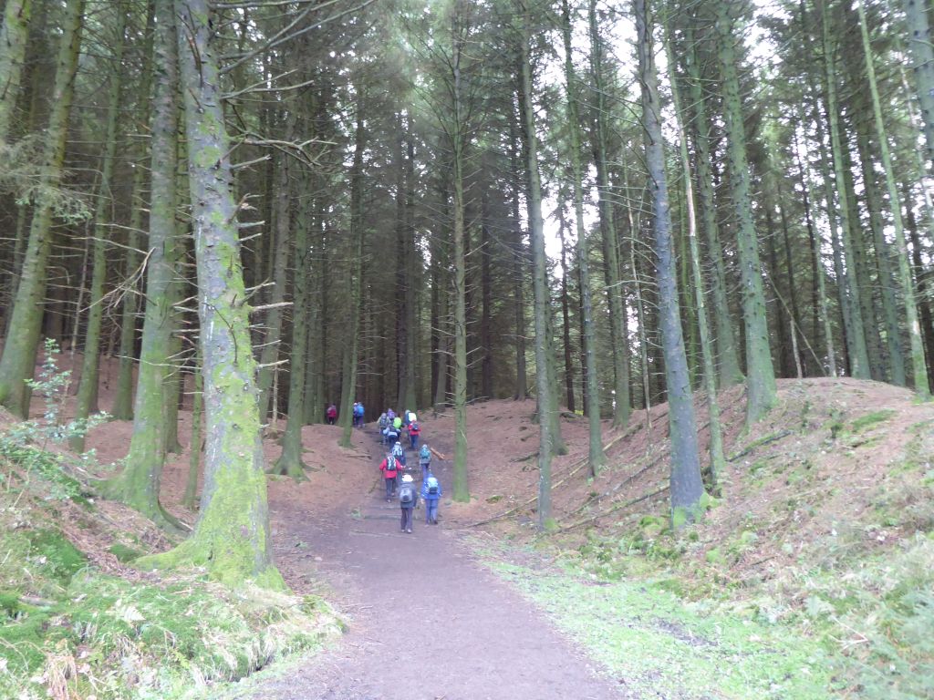
The track then descends steeply through the forest before rising again towards Standing Stone’s car park. With Shuttlingsloe on the left, it then heads back down towards Trentabank and the ranger’s hut then back along the reservoir to the front of the Leather’s Smithy.
There are some great views on a clear day, atmospheric mists on a wet one!!
The walk can be a bit muddy in places. There are a number of gates but just one style. The only toilets are at Trentabank Ranger’s hut near to the end of the walk otherwise it’s behind a tree.
There is free parking in front of the Leather’s Smithy on Standing Stone Road but take care to keep within the marked parking bays.
15 Mar 2023 Grindley Brook-Marbury-Llangollen Canal Leaders: Mike & Linda, Length of walk: 9 miles, Driving Distance: 24 miles, Number walking: 16
Start from What 3 Words ///installs.robes.barbarian SY13 4QJ
Starting from the Horse & Jockey pub car park on the A41 approx. 3 miles north-west of Whitchurch centre (cars are requested to use the gravel section – drive through the tarmac area and at the top right-hand corner is the gravel area for us)!
A slow ascent through farm tracks and open fields toward Wirswall and then Marbury where it joins the Llangollen Canal. Following the canal for a couple of miles to Willeymoor Lock (pub there for any so inclined). Depending upon weather conditions (the canal feeder can flood the towpath in certain places beyond here) we can continue down the canal to Jacksons Bridge where we cross the canal back into fields and emerge back at the car park. If weather floods the towpath, we divert from Willeymoor Lock around the back of Tushingham Hall and down the drive until the A41. 200 yards on pavement down the A41 to the car park.
Conditions: potentially muddy, some road walking, medium distance canal towpaths, minimal stiles, plenty of gates. Only gentle ascents.
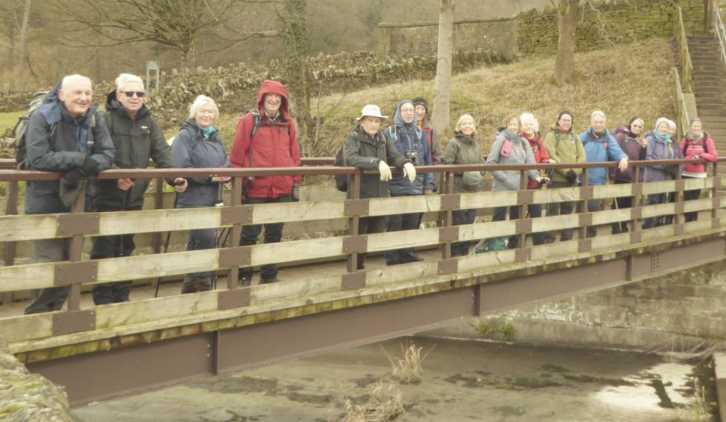
In the absence of bridges the walkers assumed the position on Buttermilk Hill.