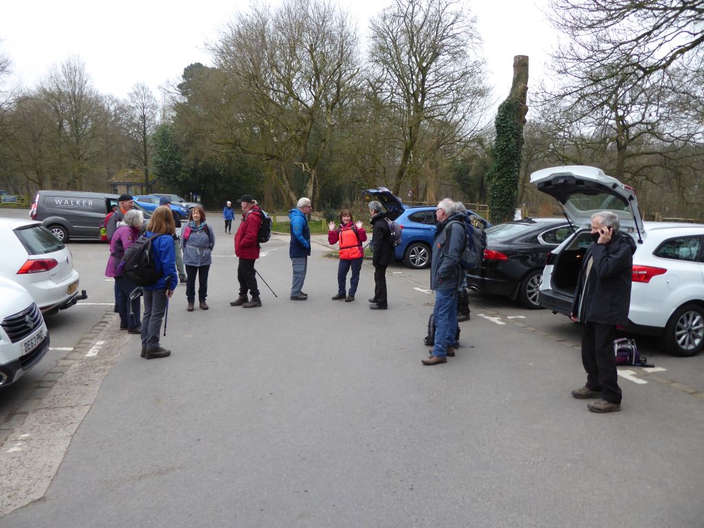
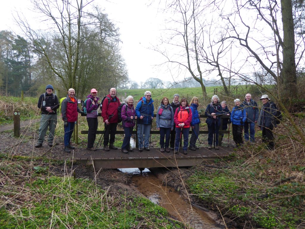
2 Mar 2022 Three Shires Head Leader: Marie, Length of walk: 11 miles, Driving Distance: 20 miles, Number walking: 11
Click here to see a map of the walk
With the regular correspondent laid low by Covid infestation, the leader wrote the description of the outing. The tone of the text is reminiscent of the messages left by Captain Robert Falcon Scott and his team on their doomed mission to the South Pole. It’s no wonder Marie wants to take up dry-stone walling. This is her story.
11 of us set out from Clough House Car Park on our hike up through Cumberland Brook towards 3 Shires Head. Misty rain obliterated any of the views but we were able to appreciate the waterfalls and get a sense of the wildness as we reached the top. The weather started to close in with poor visibility just as we happened to see the outline of the Cat and Fiddle with it’s enticing cosy fire. On setting foot into the warmth and surrounded by the extensive whiskey collection we had no option but to endure a lengthy coffee and hot chocolate break!
On venturing outside again the weather swiftly prompted our decision to head back to Wildboarclough by a different route via Torgate Farm and Clough Brook. No time for pictures but the possibility of doing 3 Shires Head another time.
16 Mar 2022 Alderley Edge Leader: Stephen, Length of walk: 8 miles, Driving Distance: 15 miles, Number walking: 16
Click here to see a map of the walk
The leader offered a choice of starting location – Hare Hill or Alderley Edge National Trust sites. He was unable to resolve the question of a permissive path from Hare Hill and therefore was unable to advise walkers which site to aim for. This was no problem for those who met at Waitrose car park, but one member went directly to the start without the key information – Wendy. She chose to start from Hare Hill and found on arrival that she was alone. Fortunately, she was expected and the party waited for her.
As the group set off, the leader announced that the route down the edge would go down a scarp. Some walkers thought that this was a shortened form of escarpment and lamented the informality that this implied. For those unfamiliar with these terms, the following sections from Wikipedia may bring some clarity:
An escarpment is a steep slope or long cliff that forms as a result of faulting or erosion and separates two relatively level areas having different elevations. The terms scarp and scarp face are often used interchangeably with escarpment.
Some sources differentiate the two terms, with escarpment referring to the margin between two landforms, and scarp referring to a cliff or a steep slope. In this usage an escarpment is a ridge which has a gentle slope on one side and a steep scarp on the other side.
The leader slipped in the term cuesta to describe how a stratum of hard rock overlaid a stratum of softer rock forming an overhang. This is what Wikipedia says about cuesta:
In geology and geomorphology, cuesta refers specifically to an asymmetric ridge with a long and gentle backslope called a dip slope that conforms with the dip of a resistant stratum or strata, called caprock. The outcrop of the caprock forms a steeper or even cliff-like frontslope (escarpment), cutting through the dipping strata that comprise the cuesta.
It’s good to make these things clear.
One thing that was clear throughout the walk was the number of dead trees that lay about. Some had been blown down and some had been felled by a chainsaw. There was little evidence of new trees growing to replace those that had died. This is disappointing!
One of the features of the walk was a sub-group of walkers drifting away from the rest around the back marker. They weren’t just idling. They were mainly assessing the large house found in the Nether Alderley area. To do a proper job they had to climb walls and peep through fences to gather enough information. Any modern design was condemned and it was generally agreed that most of the owners of these large properties were either footballers or porn stars. It is remarkable how well-informed the walkers are about these occupations. Demonstrating how decadent they are, one of the houses had a robotic lawn mower, but it scuttled off before it could be photographed.
Lunch was in a wood on the edge of the Alderley Park site chosen because there were fallen trees to sit on. In fact, there were more fallen trees than standing trees in the wood and it resembled a battlefield after a heavy shelling. If the government wants to plant millions of trees, there are locations around Alderley Edge that could do with some new trees.
As the group left Nether Alderley, the rain started and left everyone soaking when they arrived back at the car park.