
3 Jun 2026 Eyam to Grindleford Leader: Lesley, Length of walk: 12 miles, Driving distance: 40 miles, Number walking: 8
Click here for a map of the route.
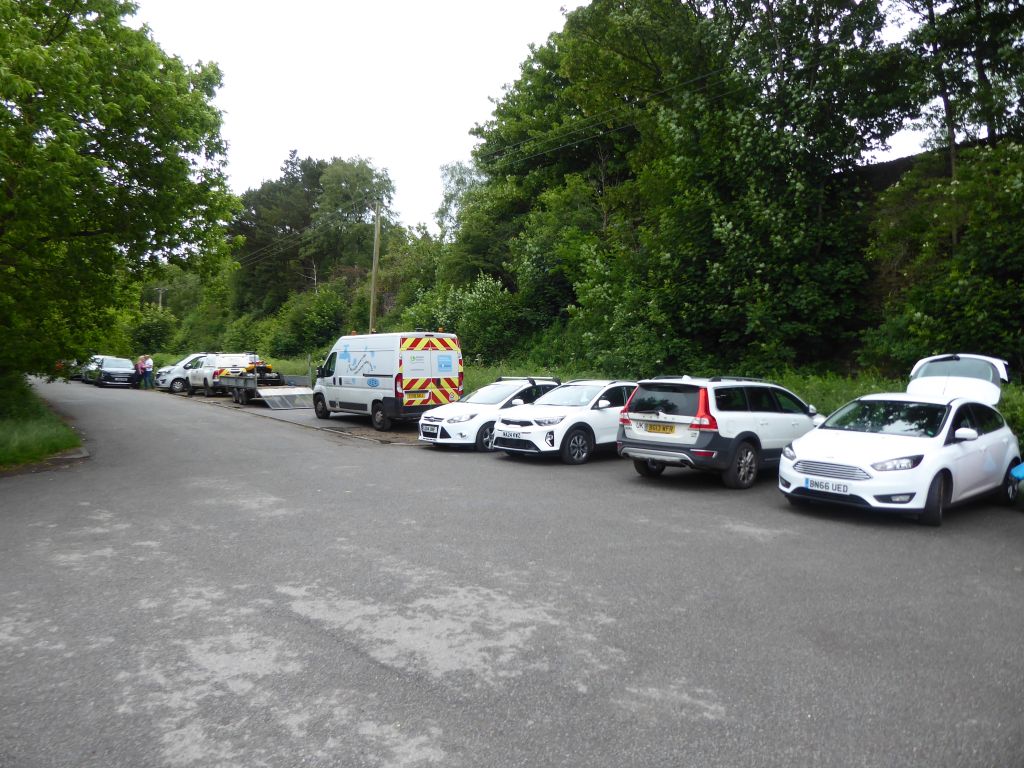
Meet at Eyam car park, postcode S32 5QP, opposite the town museum.
The leader cunningly took a walk that the group completed in 2025 and reversed it so that the walkers wouldn’t notice. Something else must have changed because the length of the walk increased from 10.5 miles in 2025 to 12 miles in 2026.
One feature that was similar was the weather. It rained last year and it rained again although not to the extent that it made walking unpleasant. In the afternoon the sun came out, causing consternation for anyone who failed to bring either a hat or sun cream.
Another walk and another new member arrived. This time it was another Karen to add to the two already engaged. To demonstrate how fit she was, the new Karen never stopped talking throughout the walk including the arduous hill climbs.
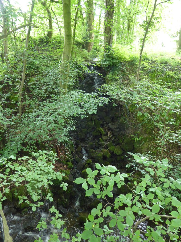
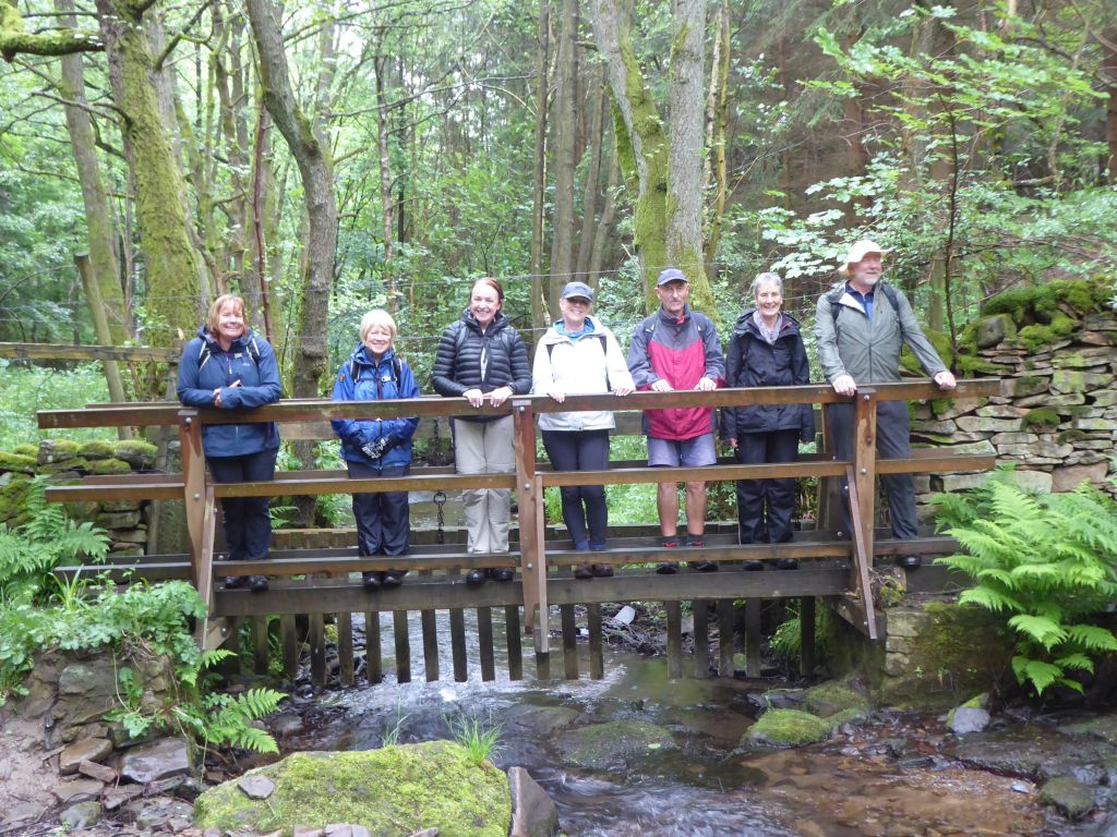
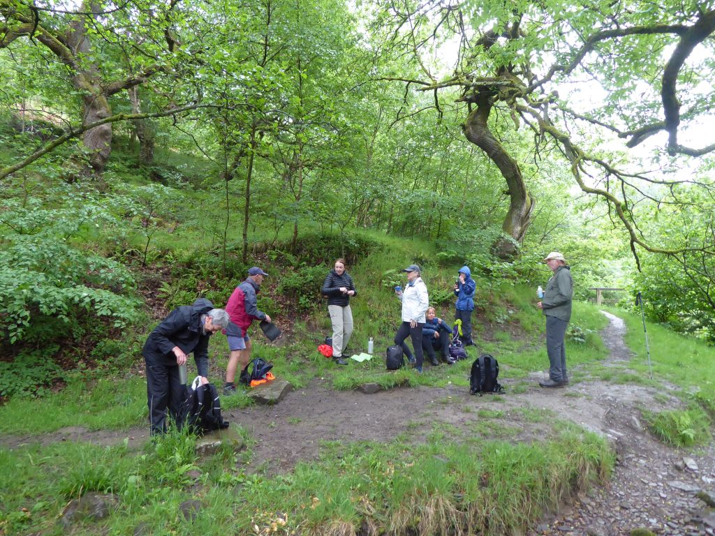
After fighting a way through the schoolchildren blocking the entrance to the toilets the walkers set off from Eyam. (Locals pronounce the name as “eem”.) The route went uphill for some time crossing Eyam Moor on the way to the River Derwent. The group was followed by a group from Tameside Ramblers who had to take second place at the coffee stop location in a wooded dell by a stream. One of the Tameside gang professed an admiration for the Sandbach Wetherspoons (The George). She always looks out for a branch of Wetherspoons on her travels.
The group plodded on to the River Derwent and turned south for the lunch stop at the Grindleford Community Shop, where several walkers took the opportunity to buy and enjoy cakes. The walk continued along the river until the time came to climb up to Stoney Middleton. This village is quite a way down from where the cars were so a steep climb was necessary to reach Eyam. As a result of the effort expended in climbing the last section, the walkers were easily tempted to stop at the Miners Arms before reaching the car park. After initially sitting at the tables outside, the group moved into the pub when the rain arrived. The walkers were surprised how far it was to walk from the pub to the car park, but at least the rain had stopped.
17 Jun 2026 Combs Moss Leader: Kevin, Length of walk:11 miles, Driving distance: 30 miles, Number walking: 6
Click here for a map of the route.
The walk starts from the car park at Fernilee Reservoir, which is on the A5004 from Buxton to Whaley Bridge (WTW ///downsize.ducks.task). The postcode for the farm near the turnoff from the A5004 is SK23 7HB. Driving from Buxton you make a sharp left turn to go down to the reservoir.
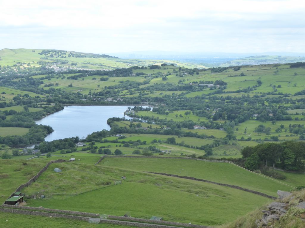
Although the sky was full of clouds, no rain fell during the walk and there were occasional sunny periods. The atmosphere was clear enough to show the large buildings in Manchester city centre once the walkers reached a suitably elevated position.
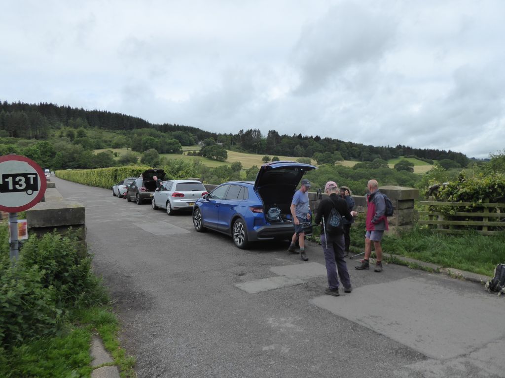
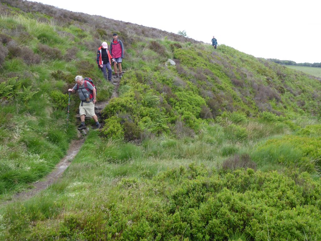
The car park at Fernilee reservoir was full and the two cars had to park on the dam itself. Then the climbing commenced – firstly from the dam to the A5004, then from the road to the suitably named Overhill Farm. The walkers safely crossed a boggy section before joining the track that led down to Combs. Where the ground offered suitable seating, the group stopped for coffee and cake. At this point the walkers learned that the top of the massive hill across the valley was the site of their lunch stop.
The walkers enjoyed the walk down to Combs except where four horses had gathered in a narrow gateway and refused to make space for the walkers. The theoretical risk of being bitten or kicked did not materialise into action and two groups parted amicably.
On entering Combs, the leader accosted a local in the Beehive Inn to check the pronunciation of the village name. As he vaguely remembered from the long walking group’s previous visit to the area many years ago, “Combs” is pronounced with a long “o” like “tombs”.
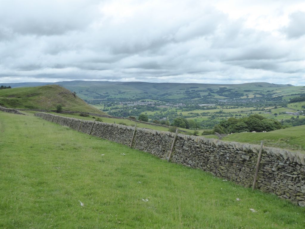
After a short flat walk through the village on the valley bottom, the road started to climb and continued up to Dove Holes. The walkers stayed on the road until its summit and then climbed to the edge of Combs Moss, where ancient people had constructed a hill fort. This provided sensational views over the surrounding area and a suitable place to collapse and eat lunch.
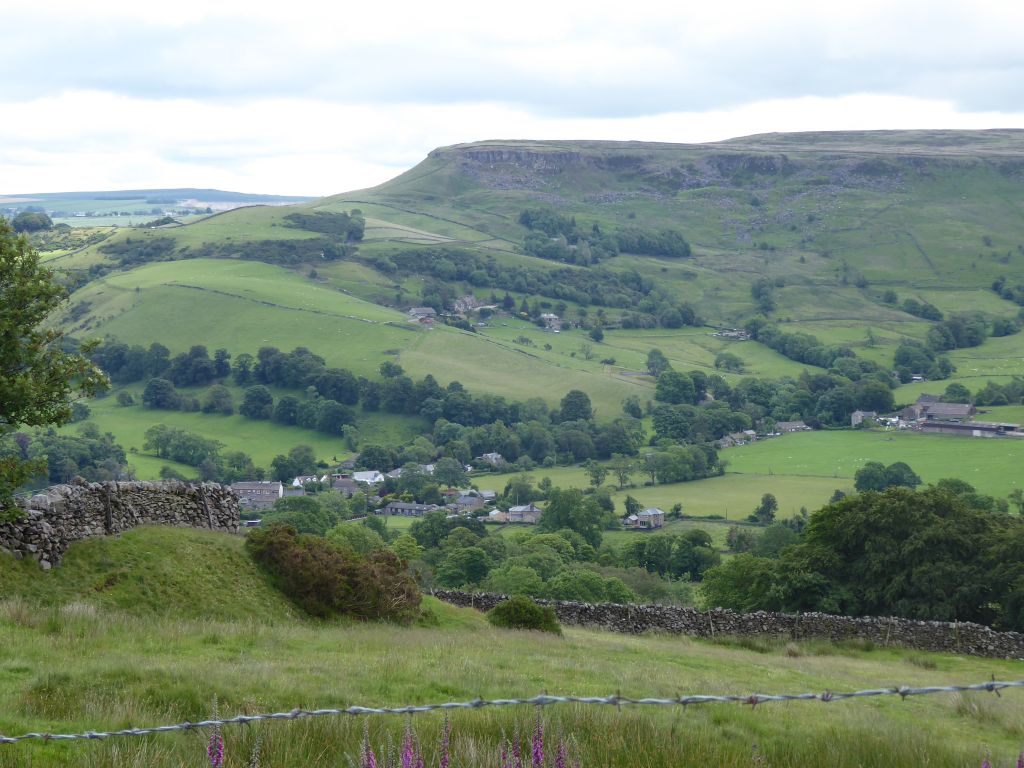
After lunch the walkers followed the path around the edge of Combs Moss for several miles disturbing various kinds of birds on the way. The scenery down below started with Chapel en le Frith then Dove Holes and finally Buxton.
After passing a trig point, the path went down to Flint Clough, where the route had to go up a stream to find a suitable place to cross it.
Shortly afterwards, the path ran into a fence where there should have been a stile and the walkers had to climb over it. Further excitement ensued when the path took the walkers underneath a lively wind turbine, but then they had to follow the ascending path for quite a while before they found the gate that allowed them to pass through the long stone wall around Combs Moss.
They descended to the Midshires Way – a 230 mile route from Buckinghamshire to Stockport. This took them past White Hall outdoor sports centre and then down to Fernilee reservoir, where they walked the last mile along the disused railway track to the car park.