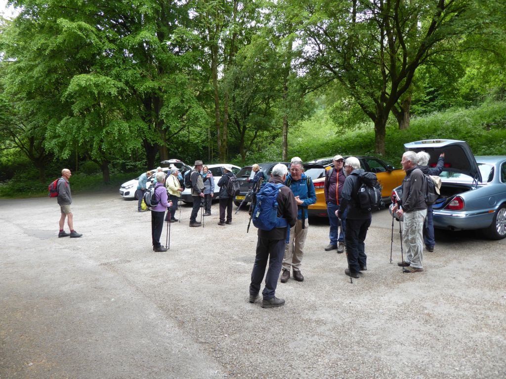
7 Jun 2023 Ashford / Magpie Mine Leader: Jacqueline & Beryl, Length of walk: 9 miles, Driving Distance: 35 miles, Number walking: 18
Click here to see a map of the walk.
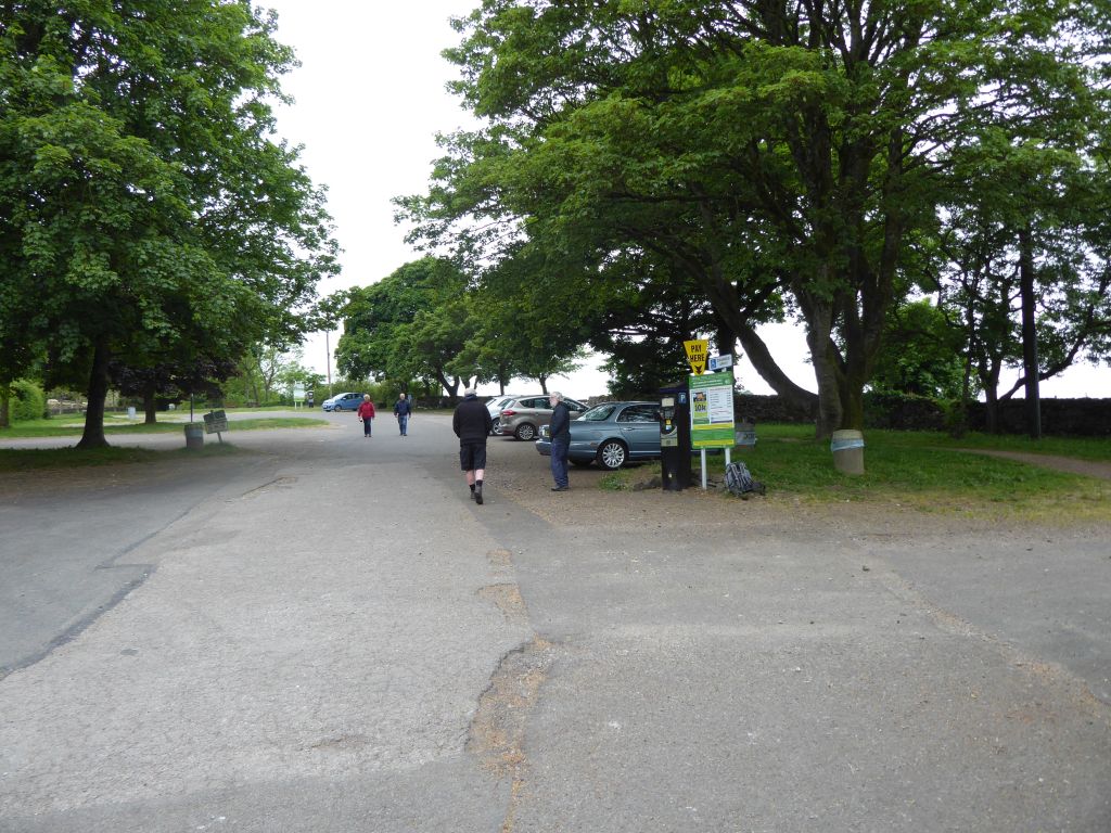
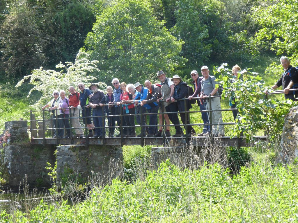
Students of navigation learned a valuable lesson on this walk. The late change to the starting point was to avoid the possibility of a full car park in Ashford in the Water and the alternative was correctly identified as White Lodge Car Park DE45 1NL on the A6. Unfortunately, anyone who navigated to the postcode only found the car park at Monsal Head and two cars arrived there two miles from the rest of the party. The instructions from the leaders were totally correct but ribbing from those who went to the correct car park first and resentment about satnavs went on throughout the walk.
The sky was overcast in the morning but the sun came out in the afternoon.
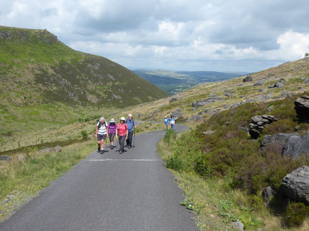
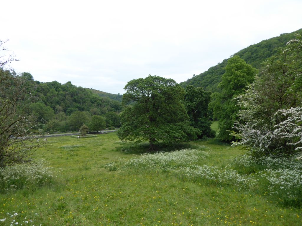
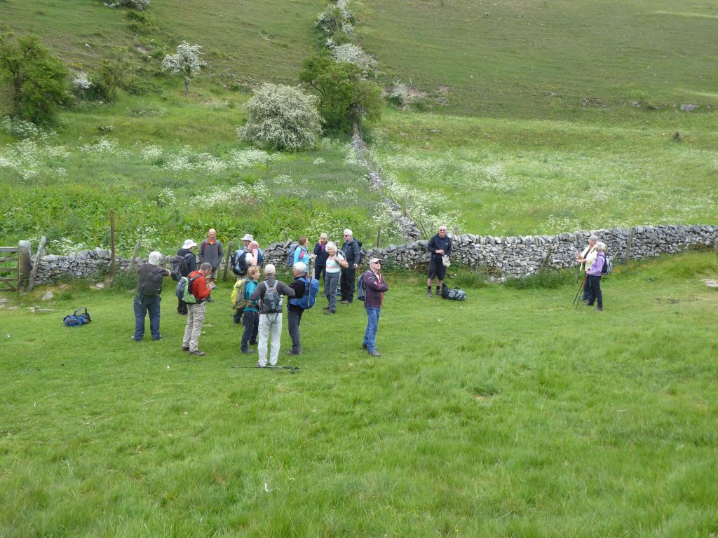
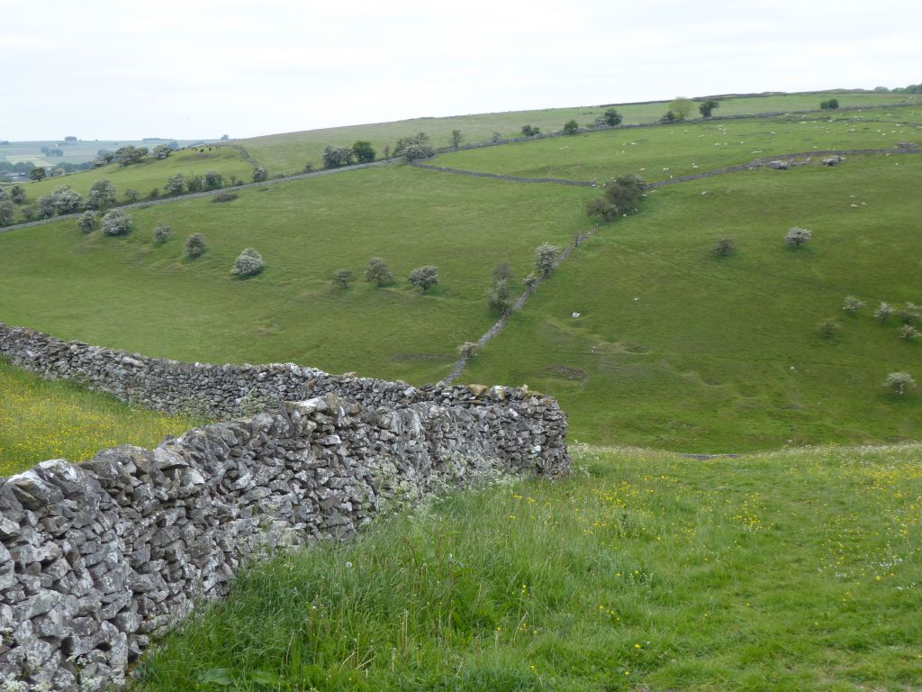
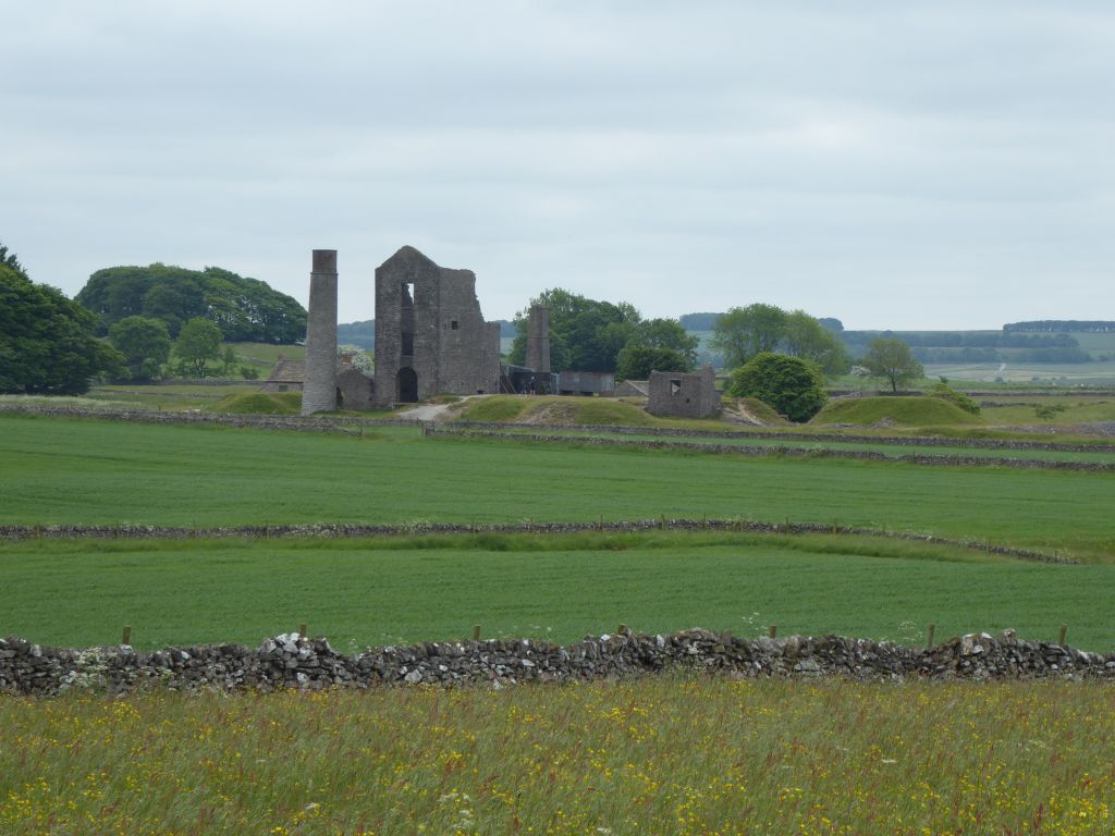
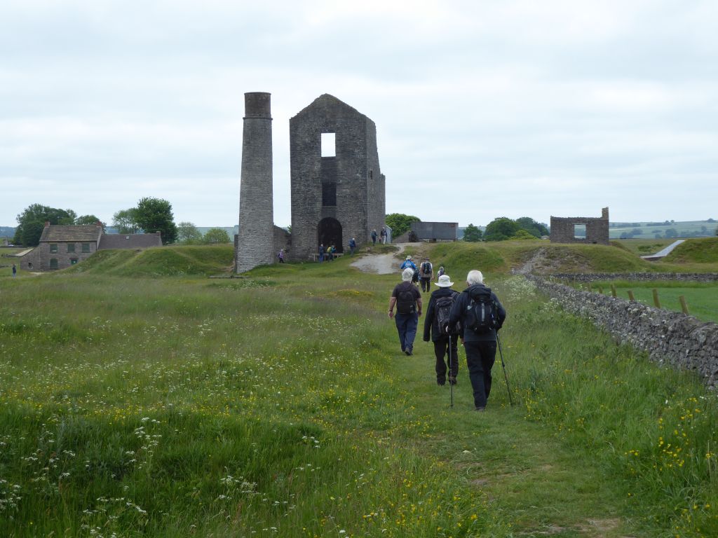
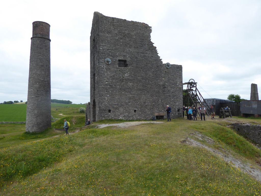
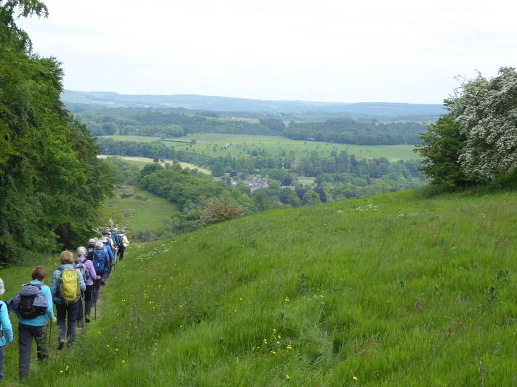
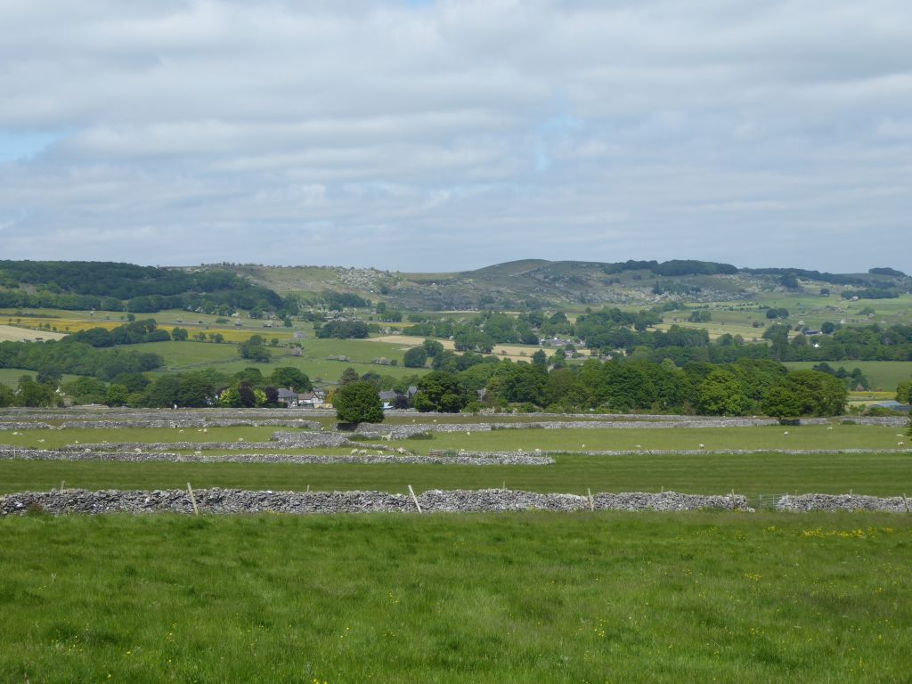
The route took the group through Deep Dale but eventually the walkers had to climb the steep hill up to the level of the Magpie Mine. As a result of the late start due to the car park confusion, there was no coffee stop, so a combined coffee / lunch event took place at the Magpie Mine, where Beryl disappointed everyone by announcing that the group was only one third of the way through the walk.
The Magpie Mine, still standing in a slightly ruined way, was the last lead mine to operate in Derbyshire, closing in 1954 after the price of imported lead made it uneconomical to continue. It was first recorded as working in 1740 when several other mines were working the same vein of lead ore. The proximity of the mines led to disputes involving legal suits and the more direct fires lit underground to drive away the opposition. In 1833 one of these fires suffocated three workers at the Maypit Mine and 24 Magpie miners appeared in court on murder charges. They were all acquitted eventually but the widows of the dead miners laid a curse on the mine and the mine closed in 1835.
When the mine reopened, it was constantly troubled by water coming in to the 600-foot-deep shaft. This was resolved in 1881 after a sough (drainage tunnel) was dug to drain water into the River Wye near Ashford in the Water. To this day 4 million gallons of water enters the Wye through this tunnel and the mine shaft is still flooded. The tunnellers started from the river and presumably knew what would happen, when they broke through to the flooded mineshaft. It would have been quite exciting.
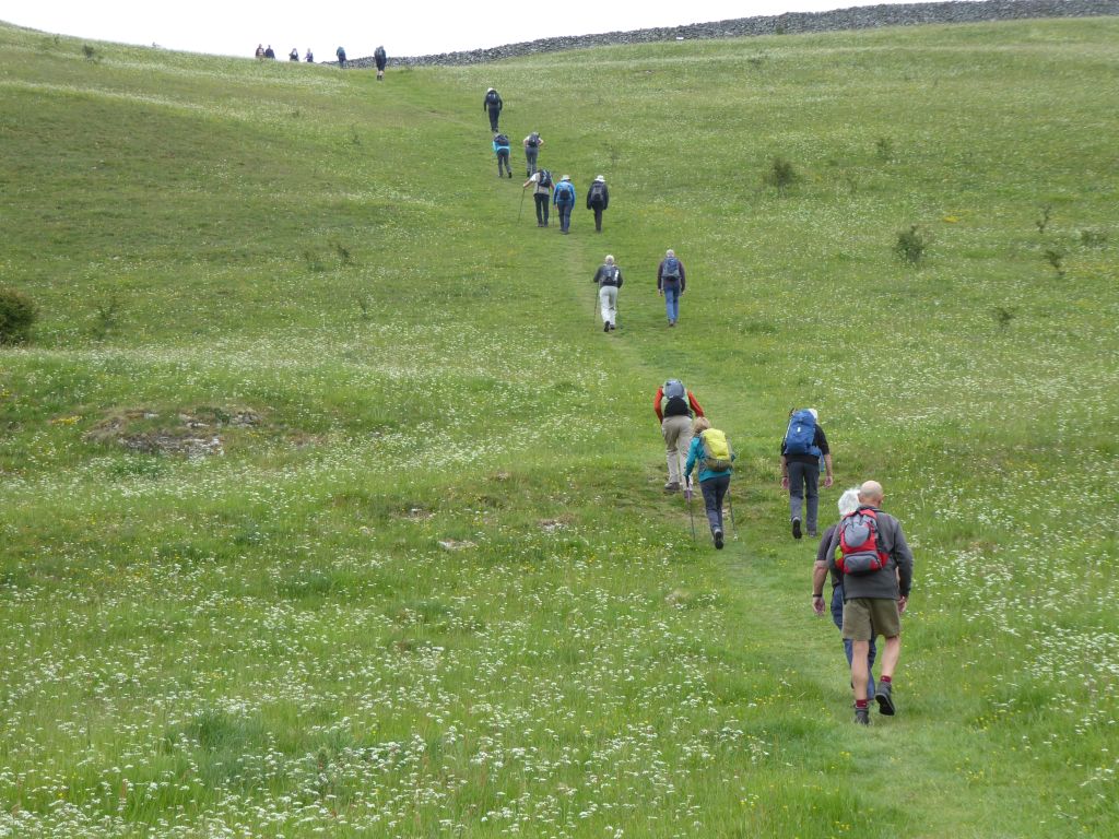
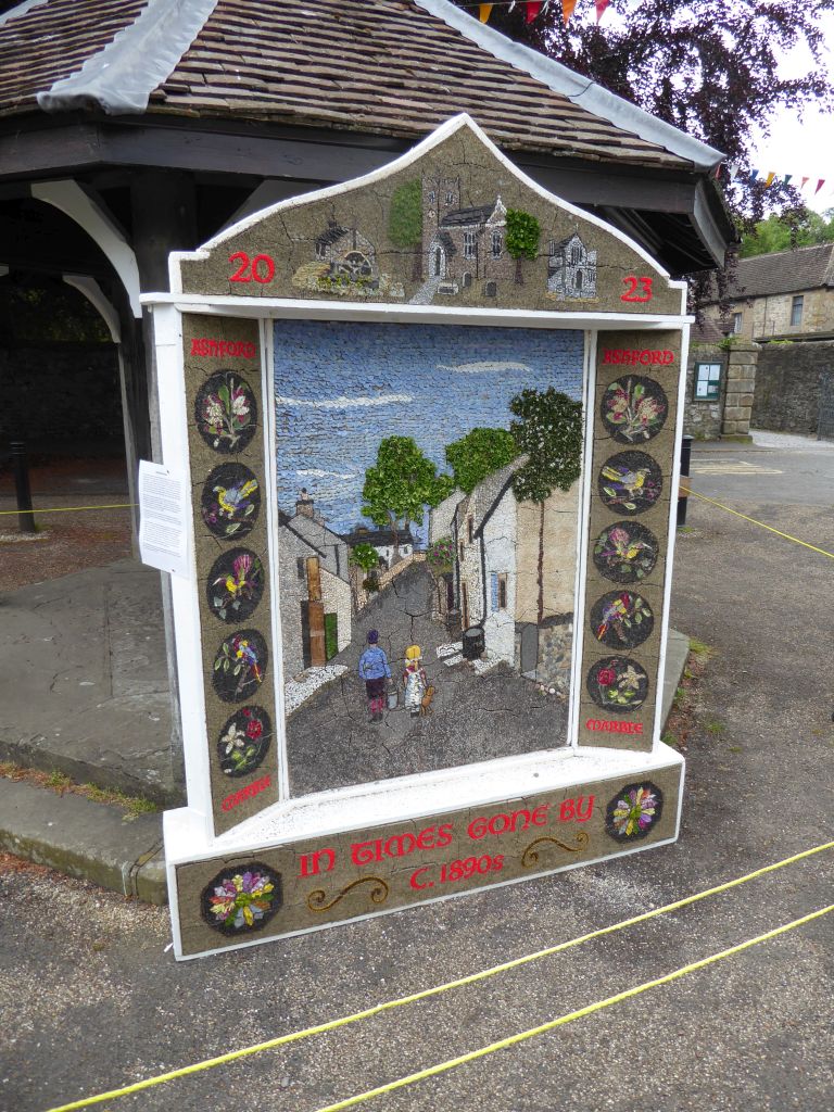
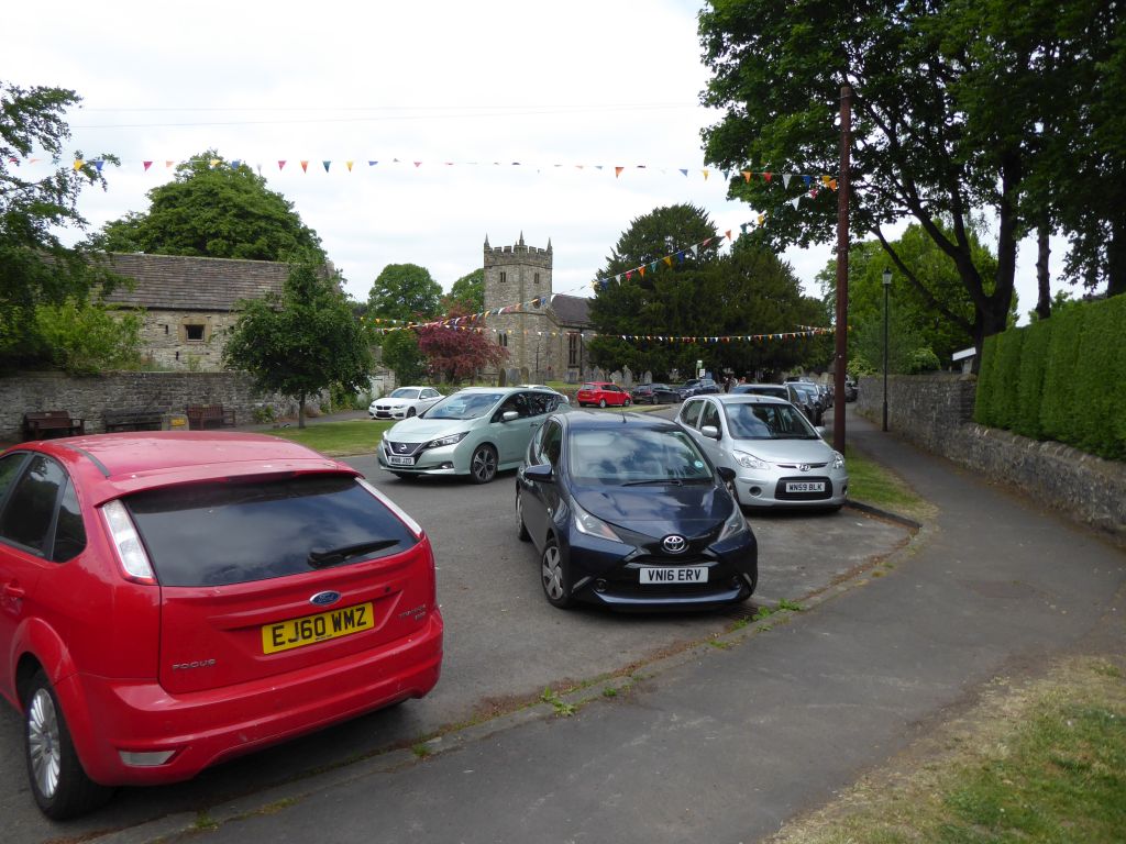
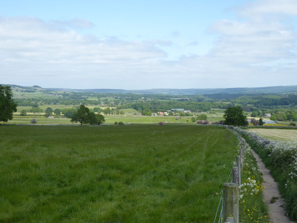
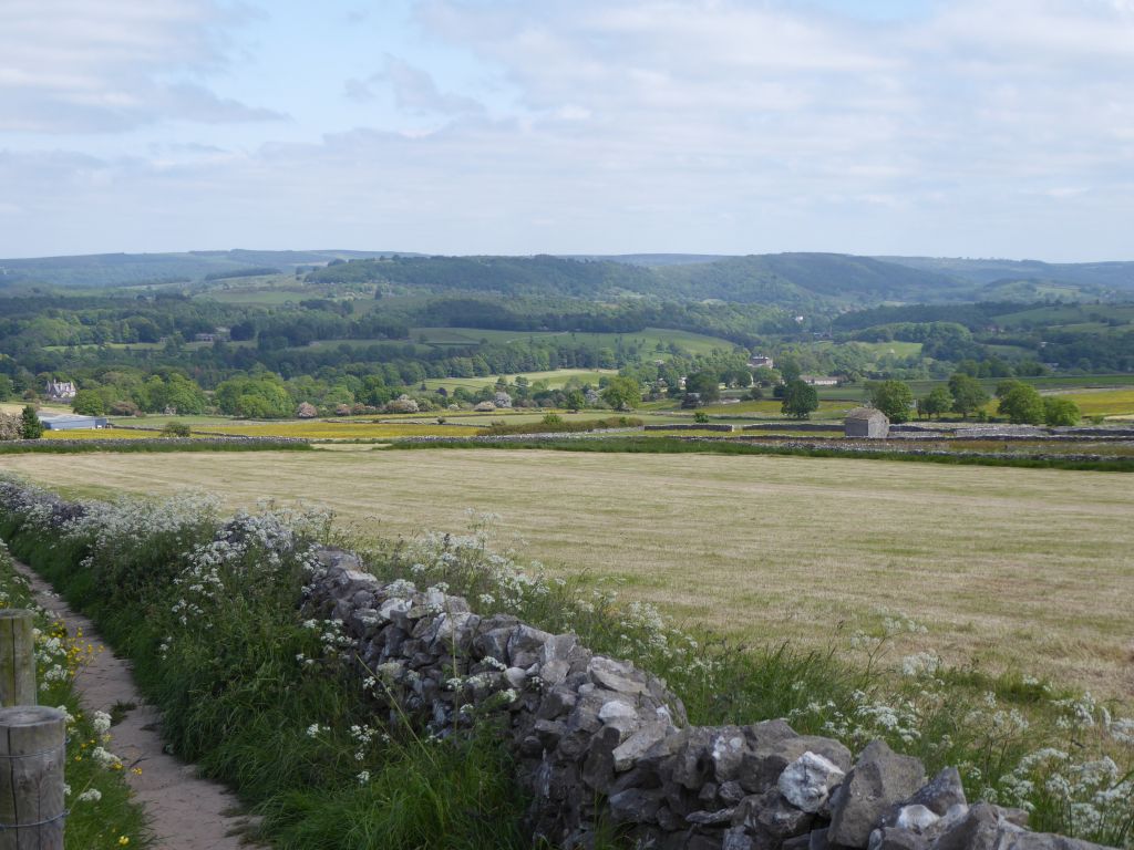
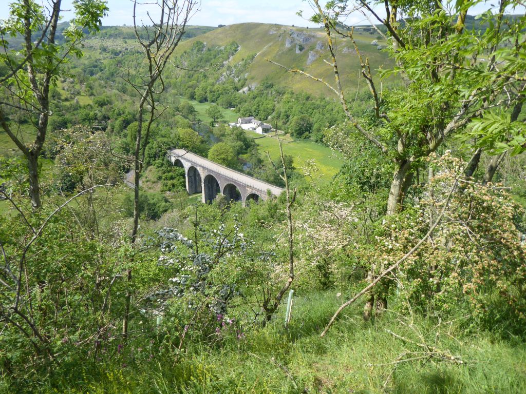
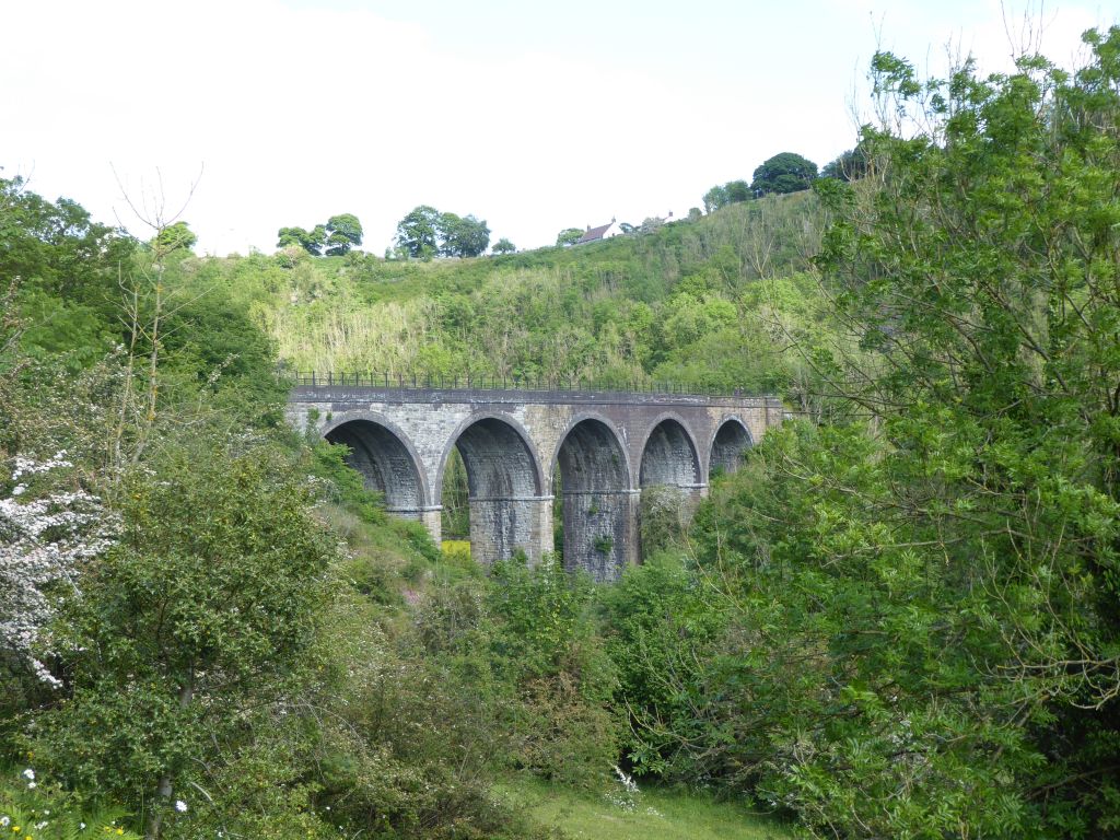
After lunch the group walked back to the village of Sheldon and strolled down to Ashford in the Water. Here they inspected the well dressing, admired the empty spaces in the car park and had an afternoon tea stop. This refreshed them for the climb up to Monsal Head, which was much gentler than the climb out of Deep Dale. On arrival at the viewpoint over the viaduct, the walkers were disappointed to find that the ice cream kiosk had run out of cones and was not operating. Can this Tory government get nothing right!
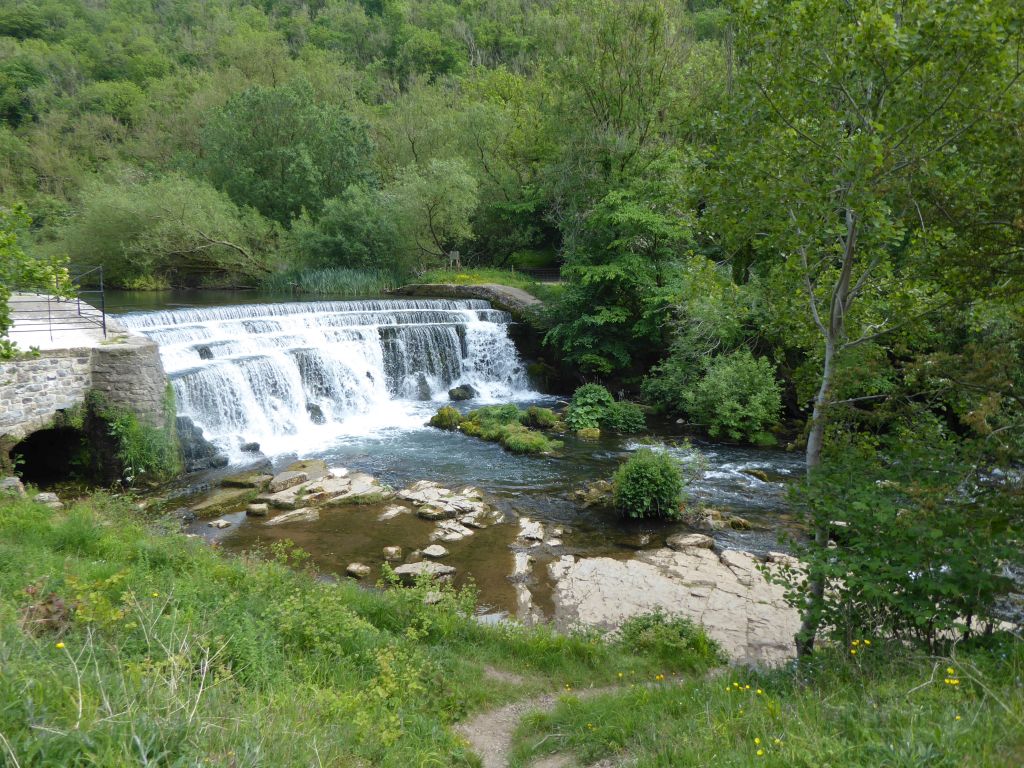
After a rest on the benches in the sunshine the group set off down the valley to walk along the side of the Wye back to the car park. A riverside path sounds as though it ought to be level in a gently sloping way, but the path required the group to keep going up and down as it moved nearer or further away from the river.
Numerous fly fishermen were waving their poles about without any obvious success, but it is a very pleasant place to spend time in the fresh air.

21 Jun 2023 Dove Stone Reservoir, Oldham Leader: Kevin, Length of walk: 7 miles, Driving Distance: 44 miles, Number walking: 14
Click here to see a map of the walk.
The first two miles of the walk followed a broad road surfaced with tarmac or gravel from the Dove Stone reservoir car park to the Chew valley reservoir on the edge of Saddleworth Moor ascending 860 feet. During this climb the walkers paused from time to time to rest their lungs and check on their joints. A coffee stop was declared at the top where lemon drizzle cake was issued to restore energy levels.
The next stage of the walk ranged over the moor which comprises lots of peat and rocks all mixed together. While there was a clear path to follow initially, the route became vaguer as the walk progressed. The description from the book of walks advised finding a way between the cliff edge and the peat bog. Given that the weather has been hot and dry for weeks, the bog was no danger at all. The recce found a shooters’ hut near the cliff edge but, on the actual walk, the group took a path too far from the cliff edge. It is a ruin anyway but there is not much up there that’s man-made, so it was a shame to miss it.
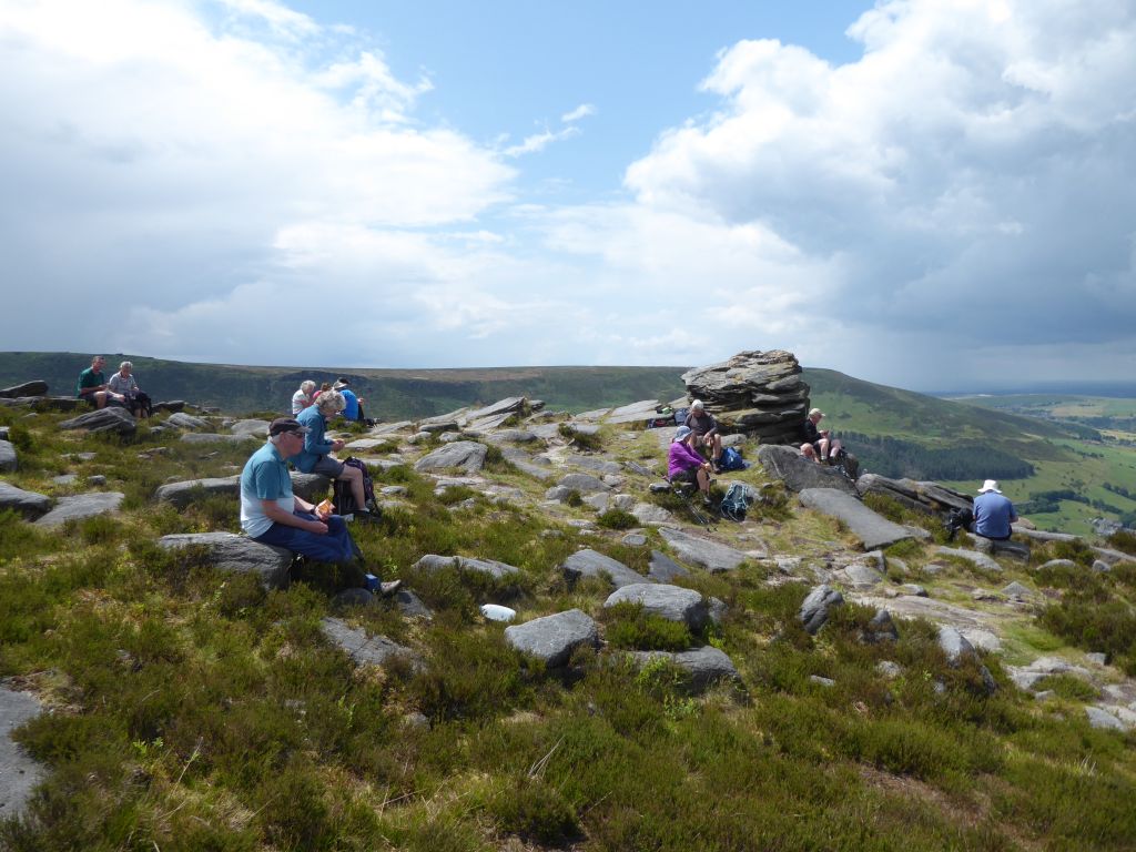
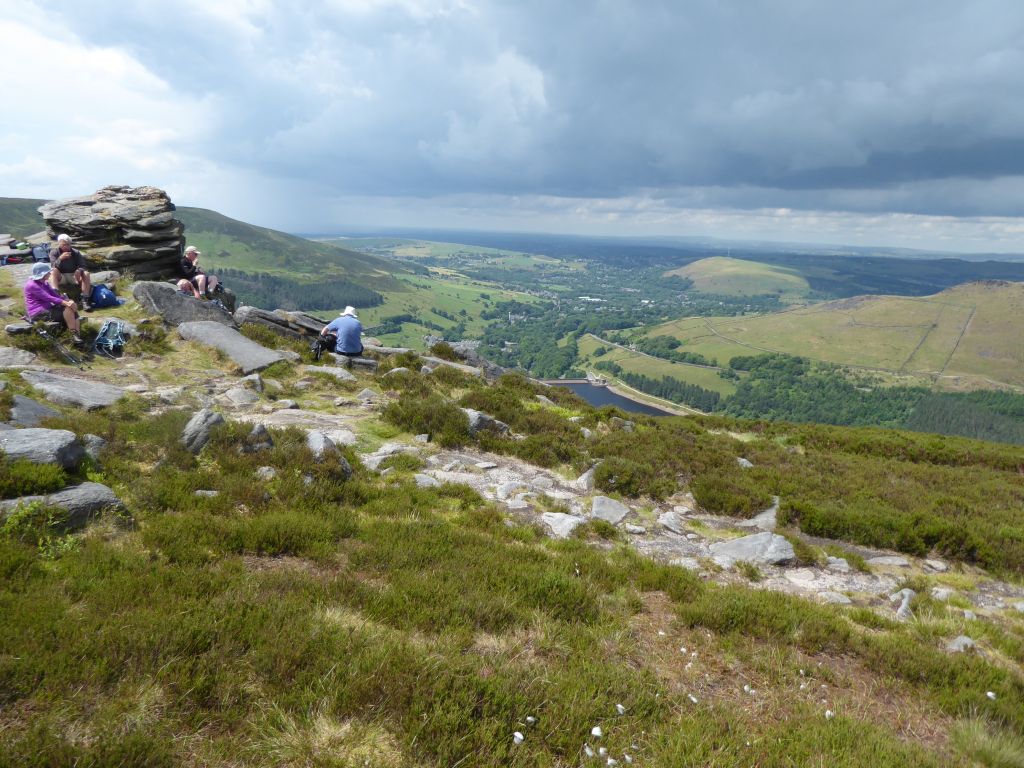
The group ate lunch sitting on a collection of rocks overlooking the Dove Stone reservoir far below in the sunshine. However, shortly after moving on, the first of several showers arrived. None of them was heavy but the group stopped to don waterproofs, which they later removed because of the heat.
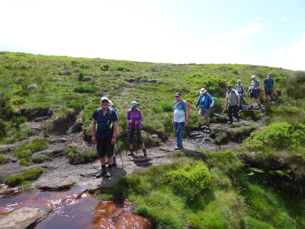
The path down was forced to follow a deep gully into the moor where there was a suitable place to cross the stream. This involved some scrambling up rocks.
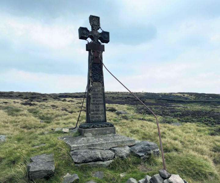
North of the path was a cross which several walkers wanted to visit to see what it was for. In the event, nobody went to it, so Dave suggested that it was a memorial to the victims of the infamous Moors Murderers. In fact, the cross commemorates the death of James Platt, whose family had a shooting lodge in the valley below. It bears the inscription ‘Here by the accidental discharge of a gun, James Platt MP for the borough of Oldham, lost his life, August 27th, 1857’. James and his party were looking for grouse when fellow shooter Josiah Radcliffe stumbled and emptied his shotgun into James’s leg. He was bandaged and taken back to the lodge but died from loss of blood a few hours later. The family sold the lodge shortly after.
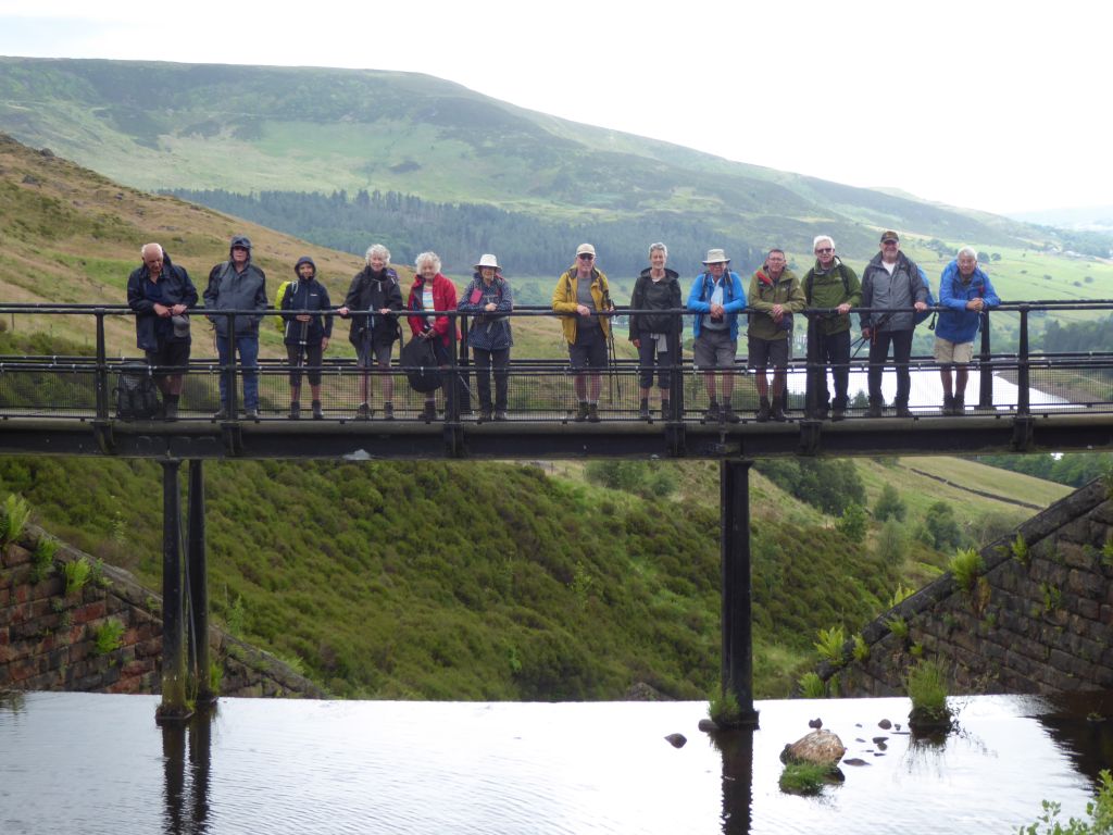
On the recce, the leader had misread the walk description and missed out the section which took the footbridge over the channel down the hill and then climbed up to pass under the cliff edge where the group had lunch. This time he included it but was unable to lead the group because he was at the rear after taking a bridge picture in the rain and the path was too narrow for him to overtake. Fortunately, there was only one possible route, so the group just plodded on giving the lie to his claim at the morning coffee stop that it was all downhill after lunch.
The ice cream van was in place at the end of the walk and several walkers took advantage, but a heavy shower forced them to eat their treats in the cars.