5 Jun 2019 Dunsop Leader: Bill & Ruth, Length of walk: 10.5 miles, Driving Distance: 70 miles, Number walking: 12
Click on this link to see the route on a map
There is no settlement called Dunsop but the brand is all over the area. The walk started from the car park (with toilets) at Dunsop Bridge and spent some time climbing by Dunsop Fell before returning along the River Dunsop.
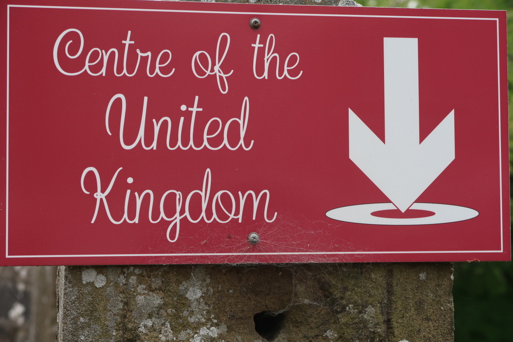
Dunsop Bridge is a very proud place. It has a BT phone box bearing a plaque identifying it as the 100,000th public call box installed and it still works. It contains a sign warning callers that the minimum call charge is 60p! There is also a sign announcing Dunsop Bridge as the centre of Great Britain. This prompted the question: “How is that calculated?”.
Wikipedia reveals that there are various calculations that could be used but the one approved by the Ordnance Survey uses the “centroid”. Put simply, the centroid is the point at which a cardboard cut-out of the area could be perfectly balanced on the tip of a pencil. The Dunsop Bridge claim could be based on the centroid for Great Britain (including the surrounding islands but not Ireland) being nearby. This centroid is actually at Whitendale Hanging Stones, 4.5 miles north of Dunsop Bridge.
On the other hand the centroid for just the single island of Great Britain is in a field south of Whalley. For anyone thinking of visiting the various centroids, the United Kingdom centroid (as pictured on the sign in Dunsop Bridge) is approximately 1.5 miles off the coast at Morecambe.
Far from being at the centre of things, Dunsop Bridge is at the confluence of the rivers Dunsop and Hodder in the Forest of Bowland, a largely empty area of Lancashire. Few of the walkers will have heard of either river before arriving. The nearest town known to Cheshire residents is Clitheroe. It takes a long time to drive from the M6 to Dunsop Bridge (and back).
The car park was busy with visitors when the 3 cars arrived. By contrast those same cars were the last to leave. Presumably the Puddleducks tearoom had stopped serving by 5pm, especially after several hours of intermittent showers meant they had no need to deg* the bedding plants.
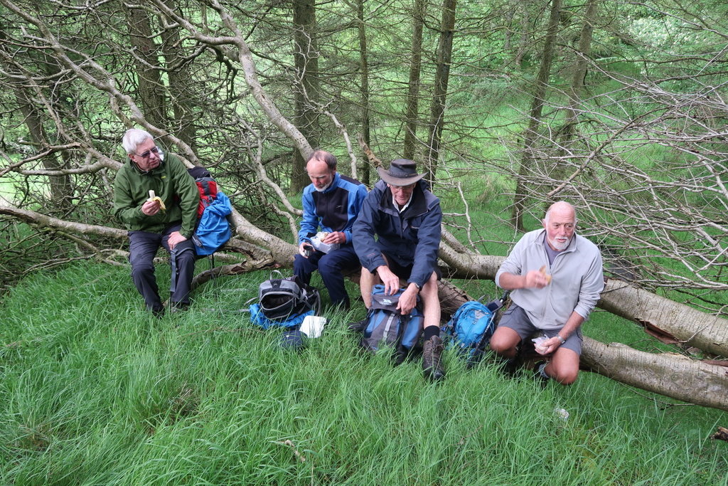
The walk started on the path along the river Dunsop but soon climbed towards Beatrix Fell. Once away from the river, the walk continued on more or less the same level with Beatrix Fell towering above. The coffee stop was held in a copse just after walkers of above average height had to duck under some oppressive branches. A birch tree in the copse had laid down its trunk as a bench, but, since it had fallen on the edge of a precipice, only the brave took advantage of it.
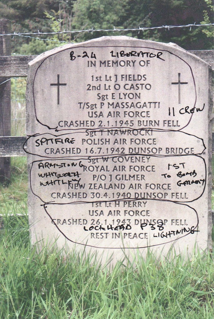
A plaque by a farm recorded the names of several aircrew who had died in the area during WWII. Bill had researched the names and recorded the type of aircraft involved on his picture of the plaque.
Having walked in the shadow of Beatrix Fell and Burn Fell for some time, the party turned to climb up a zig zag path after passing four female walkers enjoying lunch after coming down. Given that this was well past the official noon lunchtime, you can imagine the torment. After many zigs, zags, pauses and the sound of a cuckoo on the climb up, the sight of the leading walkers setting down their rucksacks caused great cheer at the rear of the party.
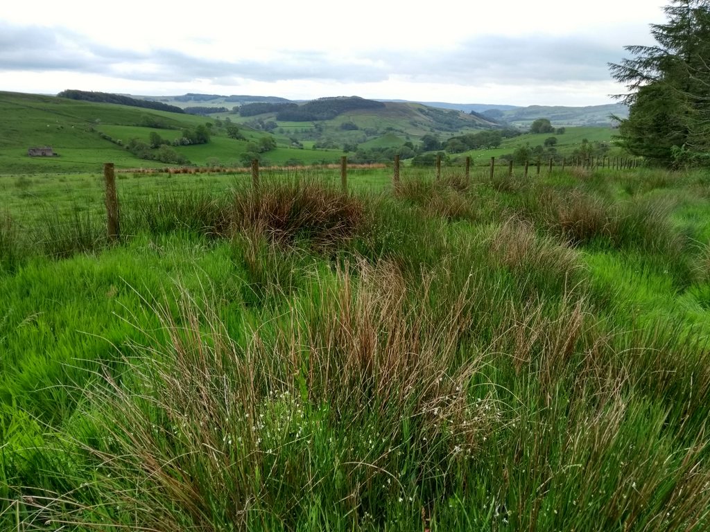
As lunch ended, the clouds, which been massing around the party, released a steady stream of rain and the hills that had previously surrounded the site disappeared. Instead of climbing a ridge and immediately coming down the other side, the walkers found themselves trudging through soggy peat and various classes of swamp on Burn Fell. Bill revealed that on 8 August 1967, Dunsop Valley entered the UK Weather Records with the highest 90 minute total rainfall at 117 mm. How did they know to start timing it and why 90 minutes? The rain on the walk was not as intense as that but, combined with the swampy ground on the top and the boulder strewn path going down, it turned down the gaiety level considerably.
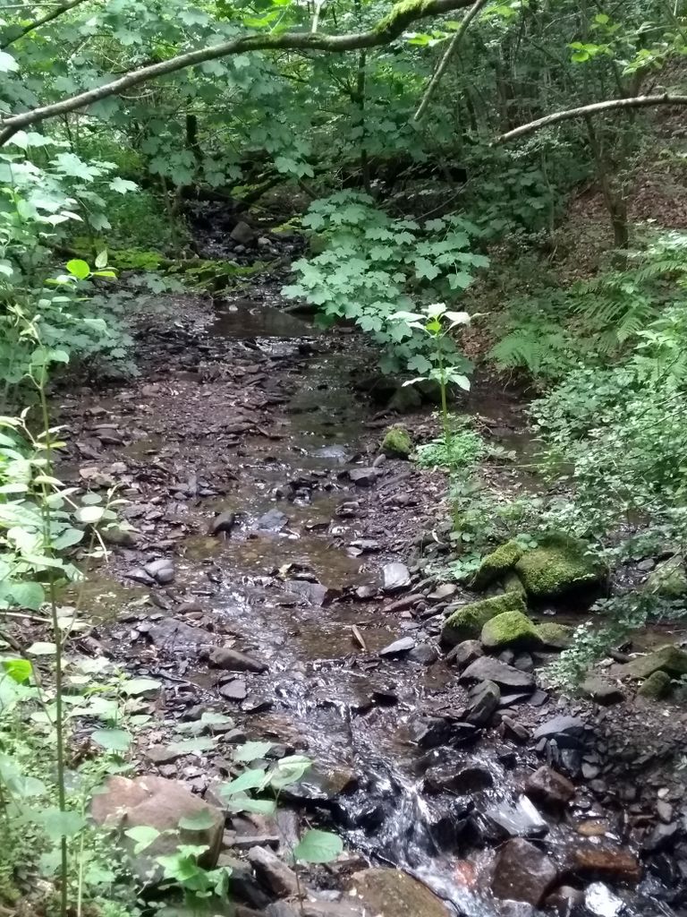
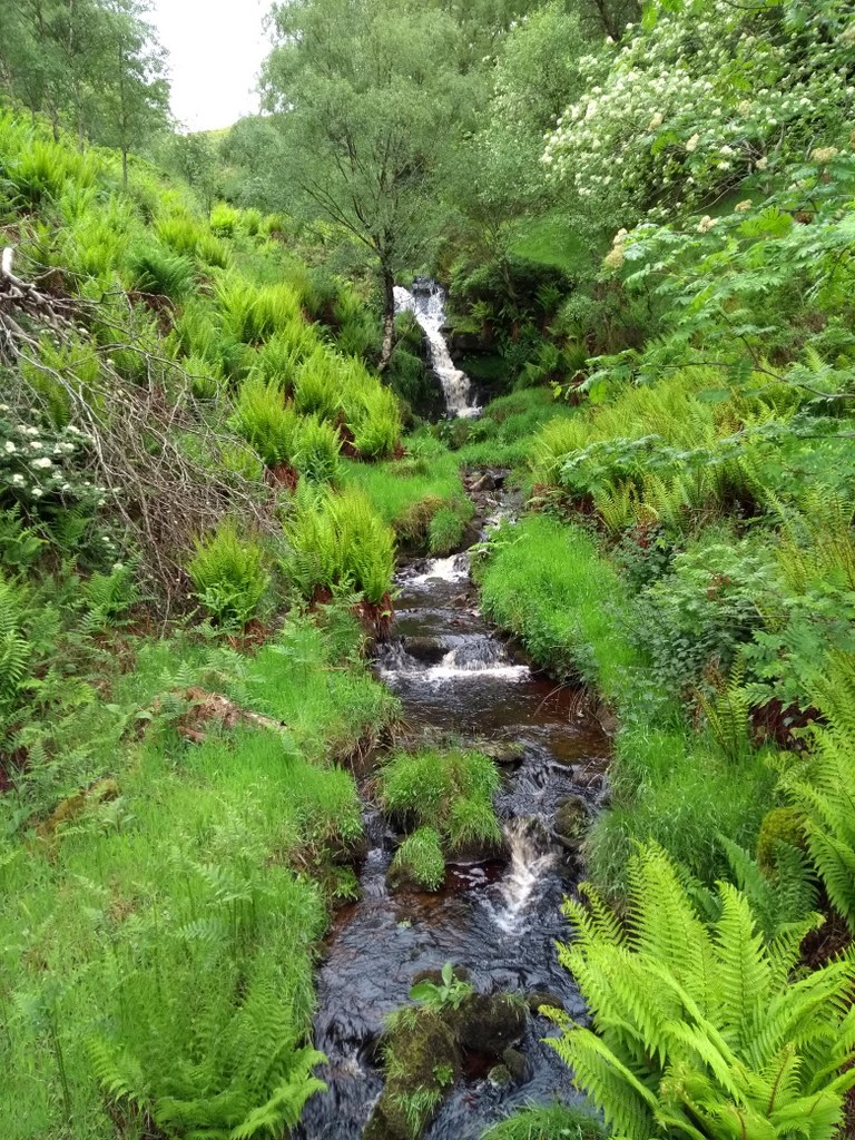
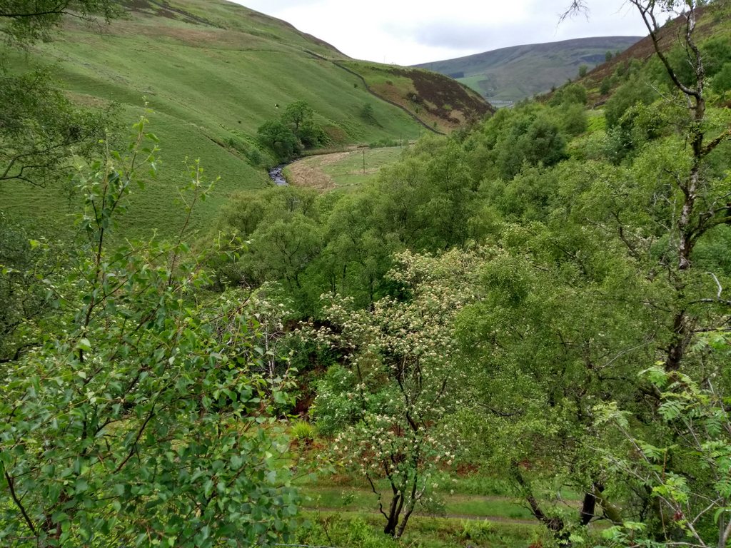
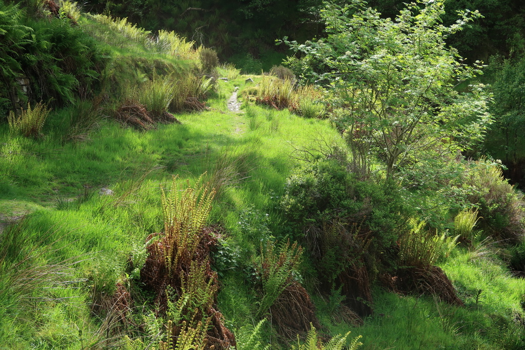
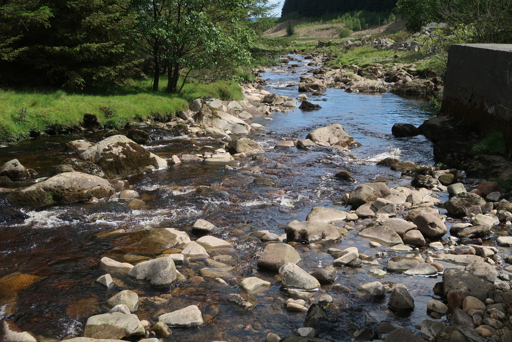
Spirits recovered when it became apparent that the remainder of the walk would follow the path down along the river Dunsop. There was no more climbing but the path was still swampy in parts with a couple of waterfalls testifying to the generous supply of water in the area.
A United Utilities hydrology station provided the site for the afternoon rest stop but there was no explanation of the purpose of large concrete baffles in the peaty water below where the river Brennand joined the flow. However a Google search suggested that the baffles help to channel the water to allow salmon and trout to swim upstream.
*DEG water a plant [3 letter Scrabble word]


19 Jun 2019 Styal Leader: Elaine & Kath, Length of walk: 9 miles, Driving Distance: 20 miles, Number walking: 14
Click on this link to see the route on a map
The route to Styal involves some back streets of Wilmslow and it was there that the four cars suffered a serious delay to their progress. Traffic lights are a valuable addition to road safety but have an evil streak. They can just take against you and that is what happened at a set of road works. The convoy stopped at the red light and, when it changed to green, started to go. The lights immediately changed to red and a convoy arrived from the opposite direction, emerging round the corner unexpectedly. The red light stayed on while traffic flowed and paused from the other side. Eventually an impatient walker walked round the corner intending to act as a stop / go man but the other lights were so far away that he was obliged to complain to the road workers. This eventually allowed the queue to pass through the blockage and all the cars arrived together.
The day started overcast but the sun eventually emerged after coffee and the usual disrobing occurred for the comfortable wander round Styal Country Park.
The first notable sight was the ancient Styal cross. It is believed to be of medieval origin but its purpose is unknown and it was restored and amended by the owners of Quarry Bank Mill in the 19th century. This moved the cross from the safety of Cross Farm to the side of a road where it was demolished by a car in 1980. At last in 2010 the restored cross was moved to the side of the path by Styal church and unveiled by Terry Waite, a former Styal resident. The news report is silent on whether the driver of the car that demolished it was also invited. A touch of forgiveness is always welcome.
The coffee stop was in the woods by the side of the river Bollin, where fallen trees provided mossy seats for the walkers. After that the group continued to the sound of aeroplanes taking off from the adjacent runway of Manchester Airport although the first actual sighting of a plane was after leaving the country park by the Airport Inn and venturing into the nearby fields.
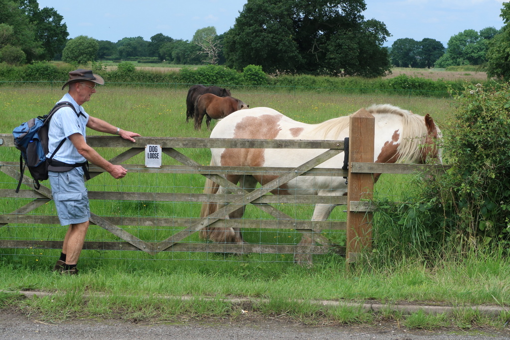
The walk leaders claimed that lunch would be “soon” but hunger mounted in the ranks. The back marker was spotted trying to seize a horse but it made off.
Eventually the leaders arrived at the chosen lunch site overlooking a lake unnamed on the OS map. Although it wasn’t immediately obvious, the site was well-blessed with cow pats. This became apparent when Bill and Keith rubbed it on their hands and clothes. Yes. It is an odd thing to do.
After lunch the party passed Saltersley Hall a 17th century grade II listed building surrounded by earthmoving equipment. Watch this space. The road from the hall was littered with half inch froglets or toadlets as they hopped from a pond towards the lake. They were lucky to survive the walkers’ boots because the tiny creatures are difficult to spot against the gravel of the road. Further down the road was a kennel for cats and dogs and this was the presumed destination of the many cars that passed the party as they made their way along the narrow road towards Lindow Common.
Lindow Common is an area of heathland with Black Lake in the middle. The water was coloured by peat giving the Old English name “llnn ddu”, which has thankfully been adjusted to be the name of the common. The lake used to be fed by springs but they have dried up and the lake is now topped up by rainfall. To make sure the rainfall stays in place, the council had to seal the lake bottom with bentonite clay. When Cheshire East Council has some money to spare, they intend to remove the birch trees that have sprouted up on the common so that the heather can be restored to its original state. The common used to have a racecourse round it but that is long gone leaving only Racecourse Road as a memento.
The party re-joined the river Bollin at The Carrs (from the Old Norse word kjarr meaning boggy ground) and followed the path back to Styal for a visit to the café. From the bridge the geology students relished the opportunity to see the asymmetrical ripples in the sand by an ait* below. These are preserved in rocks and show the sand was laid down by rivers rather than tides (which create symmetrical ripples obviously).
After the café refreshments, everyone except Keith went back to the car park. The back marker was accused of losing Keith, but he claimed that looking after elderly people in cafes was not in his job description. After wandering aimlessly for a while, Keith called for help and was eventually restored to the flock. Is there something in cowpats that causes disorientation? They are best avoided.
*AIT small island [3 letter Scrabble word]


26 Jun 2019 Roman Lakes and Marple Locks Leader: Stephen, Length of walk: 11.5 miles, Driving Distance: 30 miles, Number walking: 17
Click on this link to see the route on a map
The starting point was a car park in Hague Bar. This hamlet on the edge of New Mills is famous for being the most westerly settlement in Derbyshire. Also famous are the Badgers for arriving last for each walk; not on this occasion. They arrived first and then wondered if they had found the right car park. The rest of the cars soon followed them in and everybody set off up the hill towards the trig point on Mellor Moor. Stephen had said that the path went steeply upwards straight away and this might have led some walkers to cry off. Or it might have been Stephen’s estimate of the walk length at 10 miles. After working in geological ages of millions of years, the difference between 10 miles and 15 miles doesn’t strike Stephan as significant.
The route to the top traversed roads, paths and fields including one where the cut grass was waiting for the tedder*. The trig point was a delightful spot for a sit down with a drink and snack. The all-round views covered the whole of Manchester, Fiddlers Ferry power station, Pennine slopes and some bright green fields benefiting from the recent heavy rains. Also delightful were the cakes that Linda revealed in celebration of Mike’s birthday. The unexpected blessing went down very well as a reward for the climb. The area round the trig point included a weather station that was set so close to the ground that any passing idiot could poke the anemometer with his walking pole.
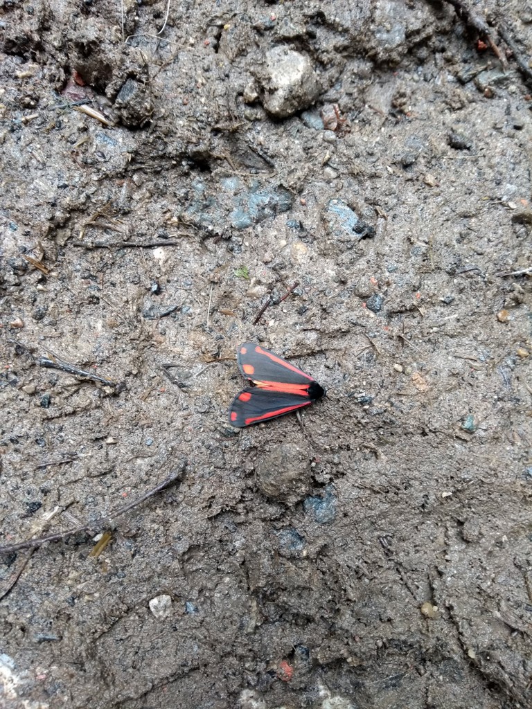
With the bulk of the climbing out of the way and the cake consumed, the party set off down the hill towards the river Goyt. The path passed a large cross erected by local churches to advertise that they are still in business. Along the path a black and red moth was spotted by one of the walkers at the rear of the group. This is where the more thoughtful walkers congregate; the thrusting younger element are at the front trying to get ahead of the leader. The moth was a cinnabar moth found throughout Britain. The adult moths drink nectar and the caterpillars eat groundsel and ragwort so voraciously that they are used to control ragwort to satisfy the horsey set. The RSPB website says that the moths fly during the day, but the moths spotted on this walk stayed firmly on the ground, possibly after being trampled by the thrusting younger element at the front.
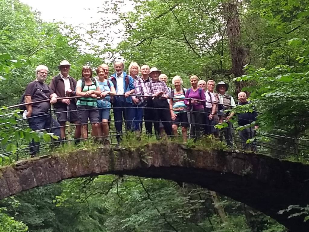
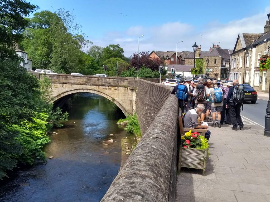
The path to Roman Lakes went past Roman Bridge without crossing it, but the group instinctively knew what to do; pose on the bridge and wait for the photographer. The resulting picture clearly shows the essential features of its description on the Historic England website – “One large segmental arch span. The depth of the deck is only the same as that of the voussoirs.”. How fortunate that this is a U3A group intent on lifelong learning. A “voussoir” is one of the wedge-like stones that form part of an arch. Knowing that should help break the ice at parties.
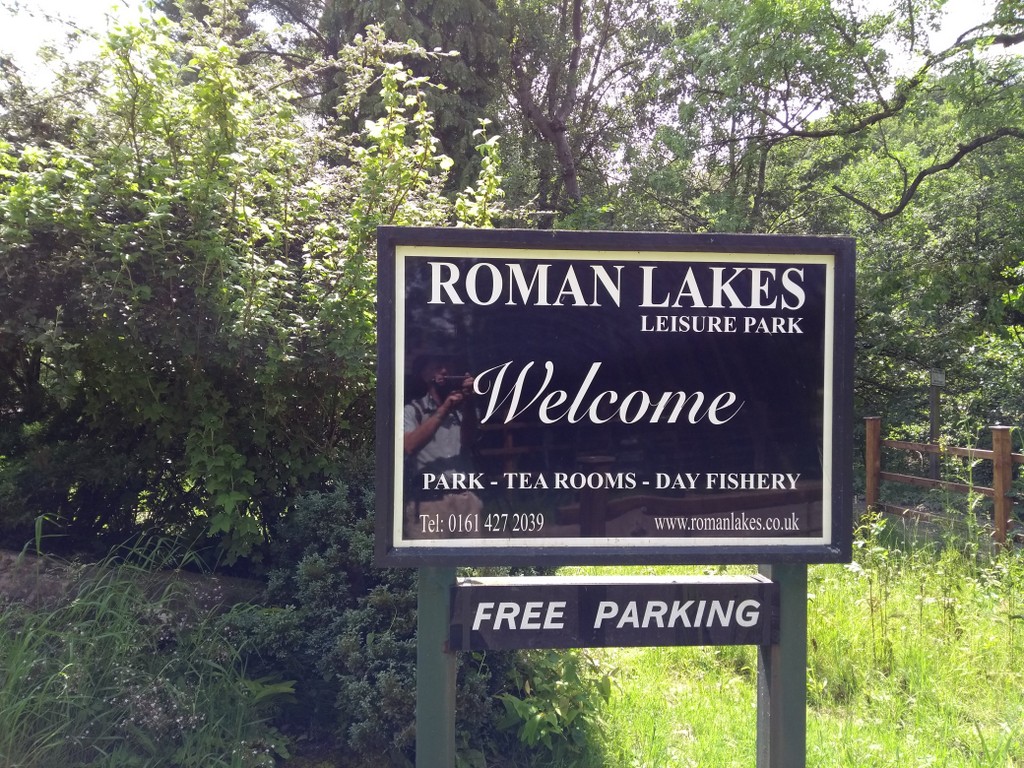
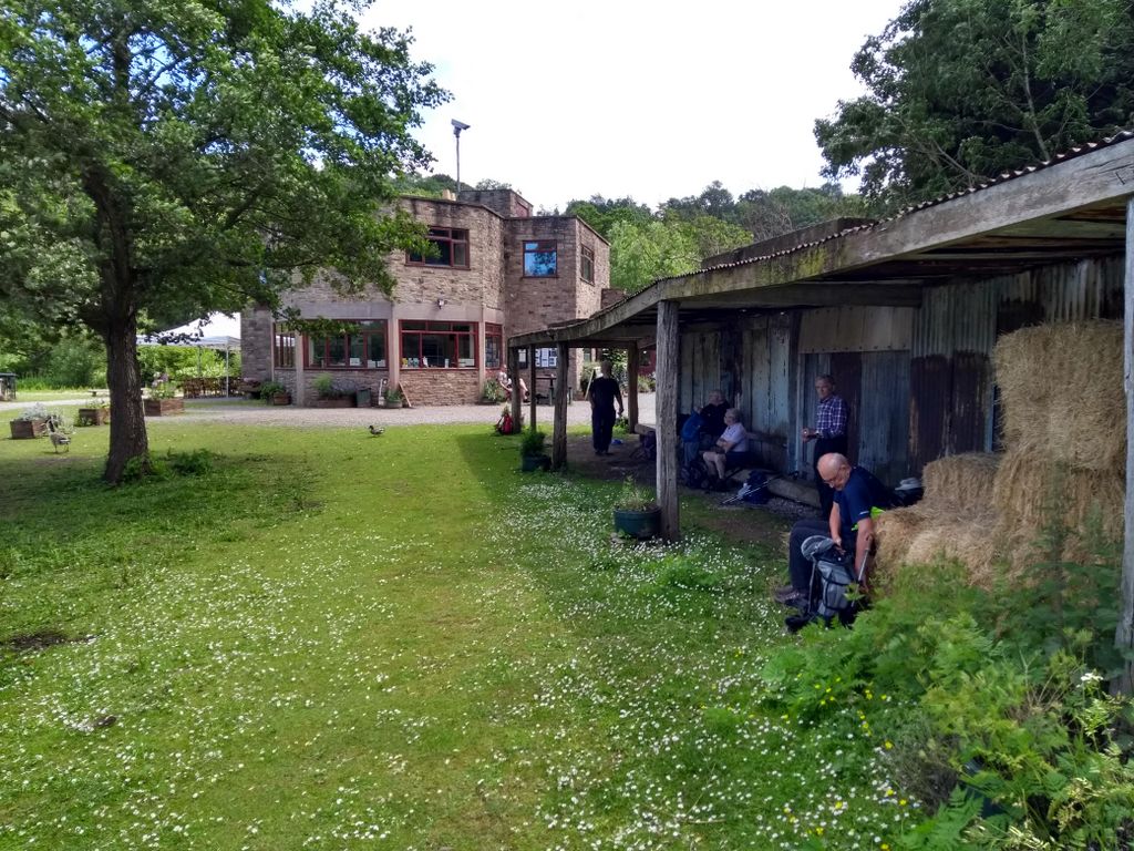
The names Roman Bridge and Roman Lakes were invented in the 19th century to attract tourists and it works! Sandbach U3A groups have been there several times but this was the first time that the sun shone for a visit. The older members, remembering previous visits, automatically sat in in the shed to eat lunch.
The lakes were originally known as Bottoms Reservoir when they were used to channel water to power the wheels of Mellor Mill built in 1793. They later became a pleasure park with bands, dancing, boating, slot machines, old ale and sandwiches too.
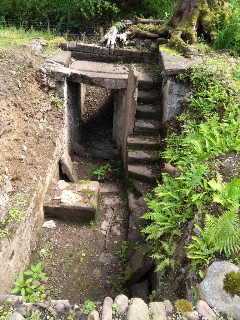
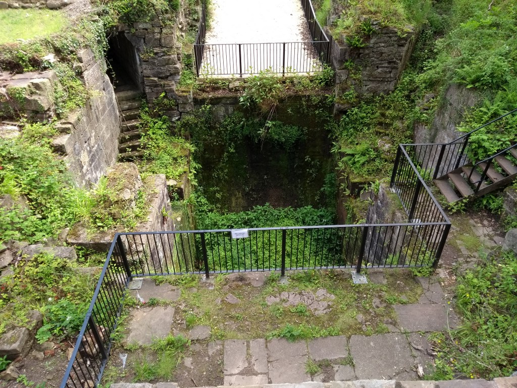
The Mellor Mill burned down in 1892 throwing 500 people out of work. The mill site was abandoned until this century when archaeologists excavated part of the remains to reveal massive foundations and a pit where the waterwheel used to revolve powered by the river Goyt.
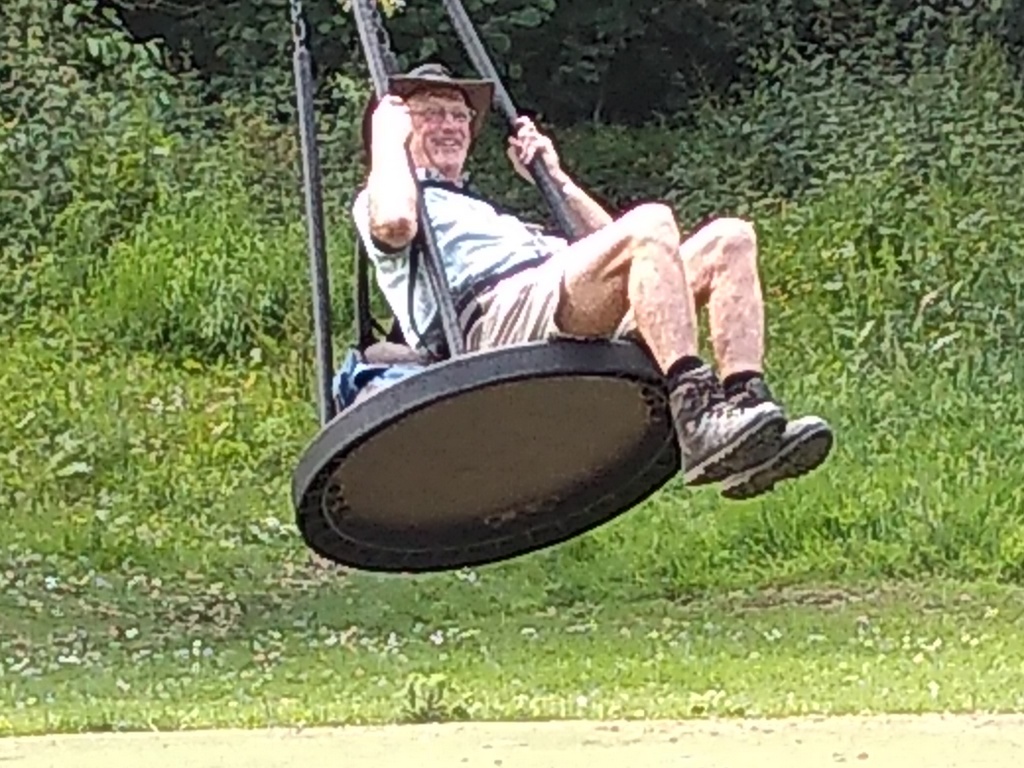
The group left the down at heel pleasure park to make for the upmarket village of Marple Bridge. This went against the conventional wisdom that after lunch the walk returns to the start. This walk went north through Brabyns Park, the largest park in Stockport, instead of south back to the cars. Whoever compiled the park’s entry in Wikipedia made it sound deadly dull, so that’s all there is to report. There is a children’s playground that adventurous adults can use.
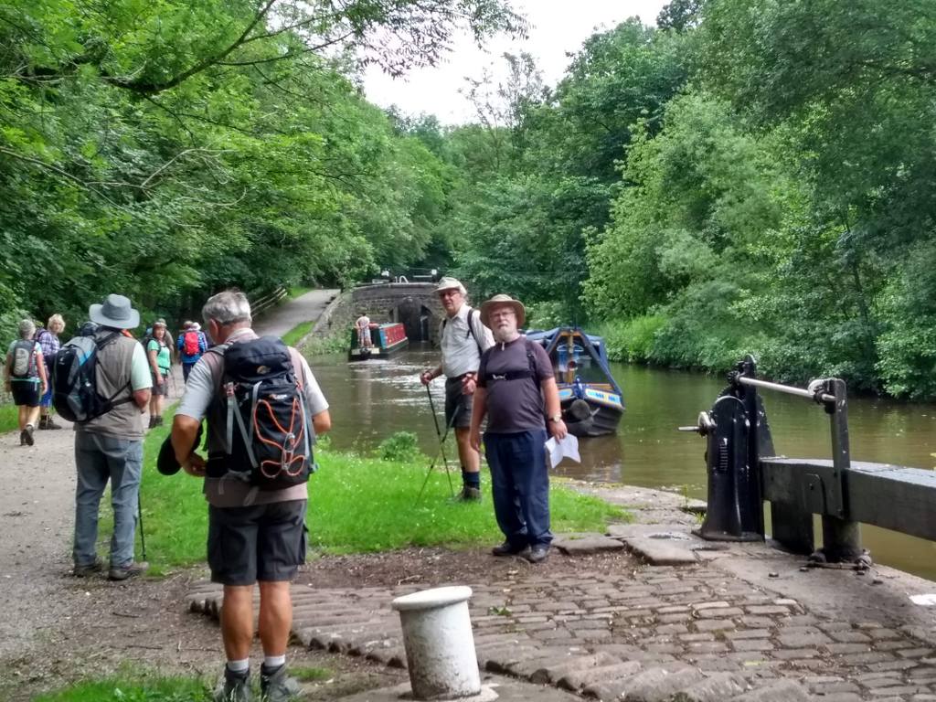
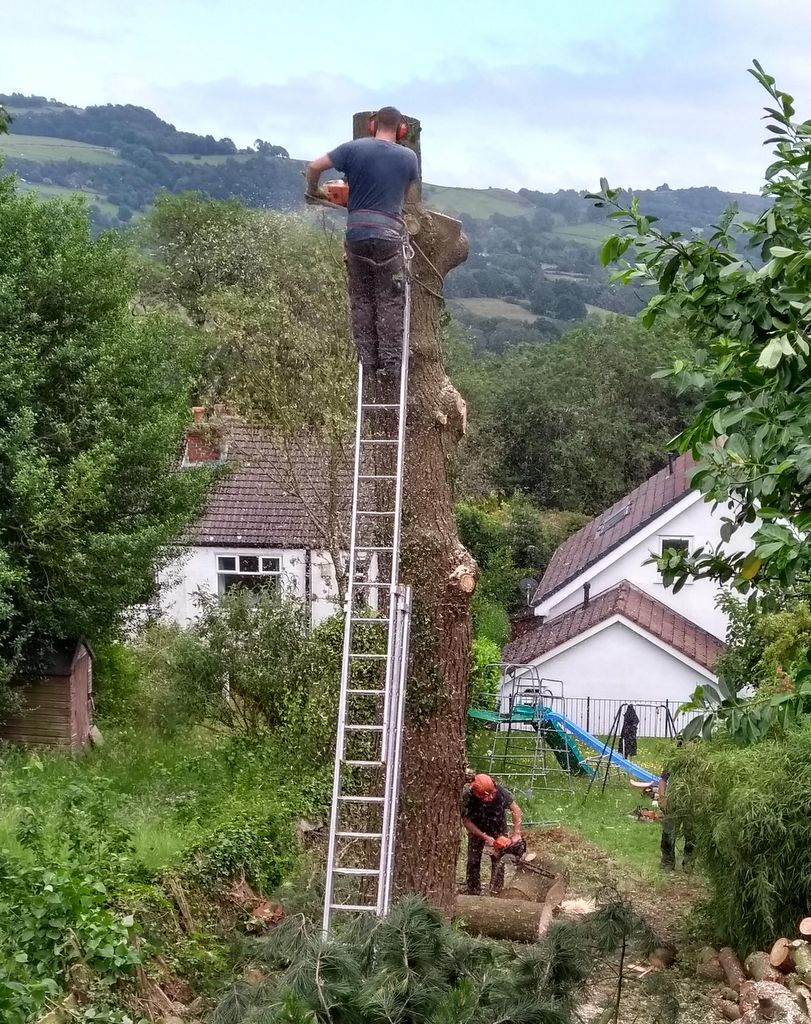
From the park the group climbed to the Peak Forest Canal and walked past most of the 16 locks that sit close together. The temptation of playing with the lock gates as boats approached proved too much for some of the walkers and the group stretched over a long distance. After the junction with the Macclesfield Canal, the towpath went through mainly quiet rural scenery. Two points of excitement occurred on this section. The cross on the edge of Mellor Moor, that featured after the morning coffee and cake stop, appeared against the skyline calling for subscribers. Three woodsmen (or tree fellers) were slowly bringing down a large tree in a garden adjacent to the canal and there was some concern that the feller at the top would saw off a large chunk that might land on another feller sawing logs at the base of the tree. The hard hat of the ground-based feller seemed inadequate for the possible eventuality. They were all intact when the back marker left the scene.
Leaving the towpath, the group descended through woodland filled with Himalayan Balsam to join the river Goyt by a paper mill and then returned to the cars. There was some surprise and joy when the consensus of device reports showed that the walk was quite a bit less than 15 miles.
*TED spread new-mown grass for drying [3 letter Scrabble word]