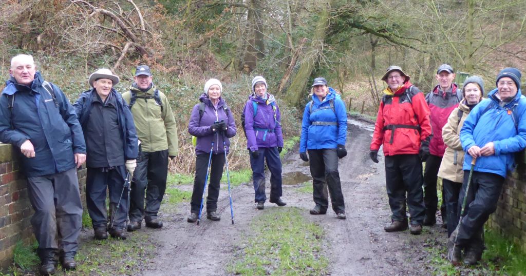
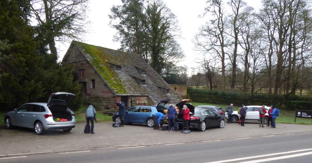
7 Feb 2024 Nether Alderley Leaders: Kath & Dave, Length of walk: 9.25 miles, Driving Distance: 15 miles, Number walking: 17
Start from Nether Alderley Mill. Postcode SK10 4TW
Click here to see a map of the walk.
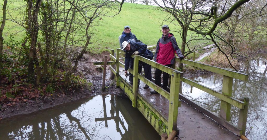
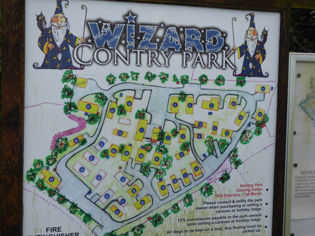
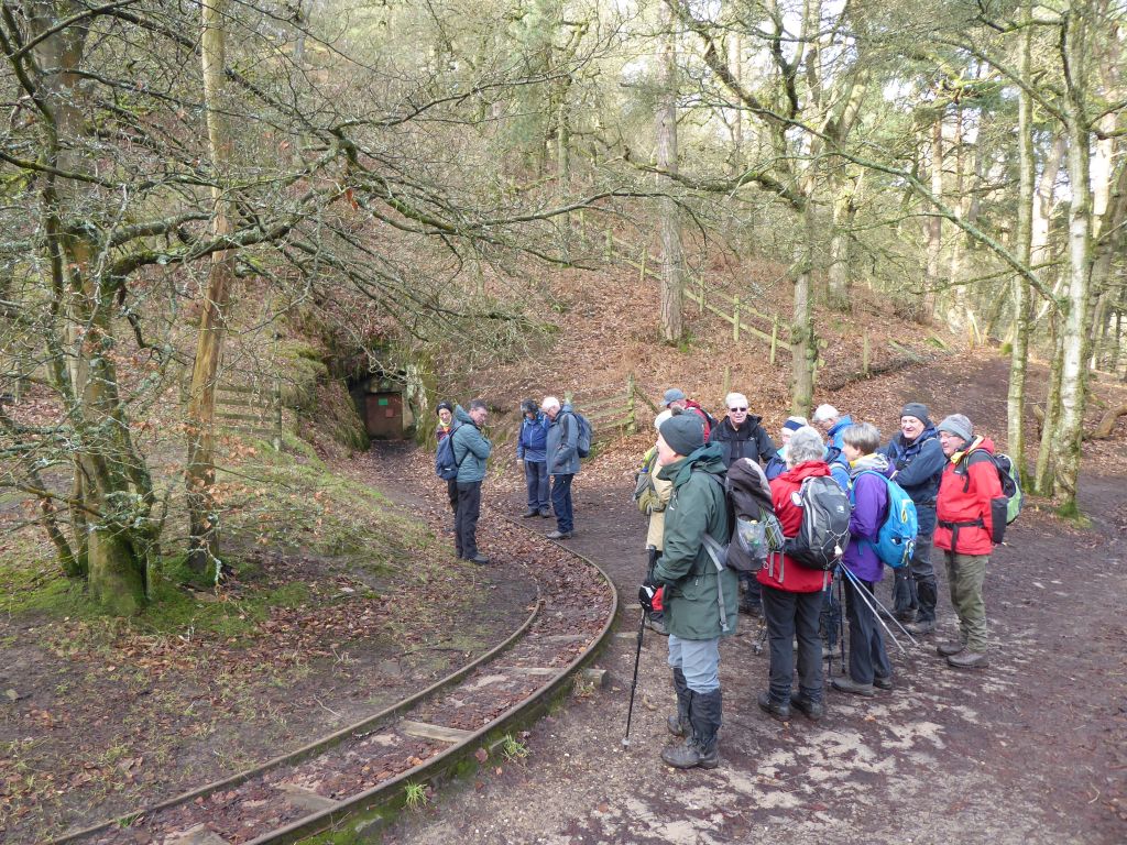
With the mill closed for winter, there was no competition for the small car park. All cars squeezed on but doubled up to leave space for any other potential visitors. After turning northwards round the corner, the group marched along the cobbled surface of Bradford Lane. As the lane went further away from the tarmac of the Congleton Road, the cobbled were mingled with mud and stream water. The walkers paused by the Wizard Country Park – a park home site, but not many of them saw the sign at the entrance. The signwriter having heard the saying “There is no I in team” seemed to have decided that “There is no U in country”. It takes a pedant to spot gross errors of this nature and the group is lucky to include at least one (pedant).
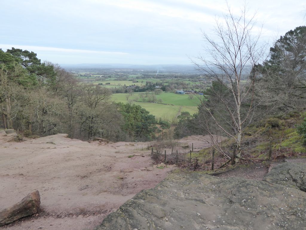
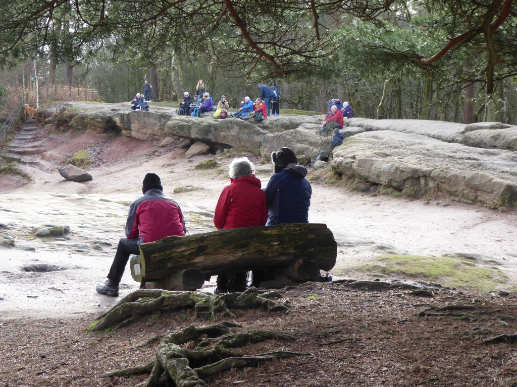
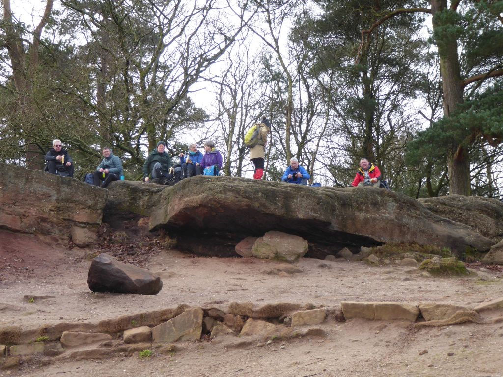
At the end of Bradford Lane lay the toilets of the National Trust site of Alderley Edge and they were heavily used by the walkers. Then the group moved on to the edge to on the rocks to have a drink and gaze at the scenery below.
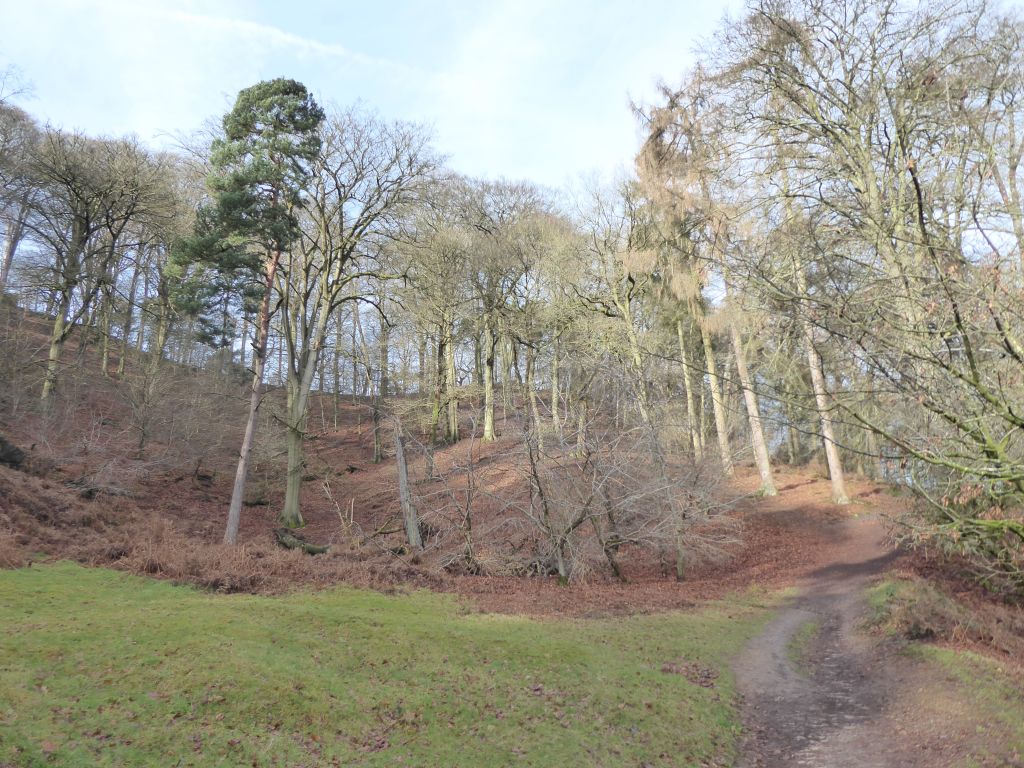
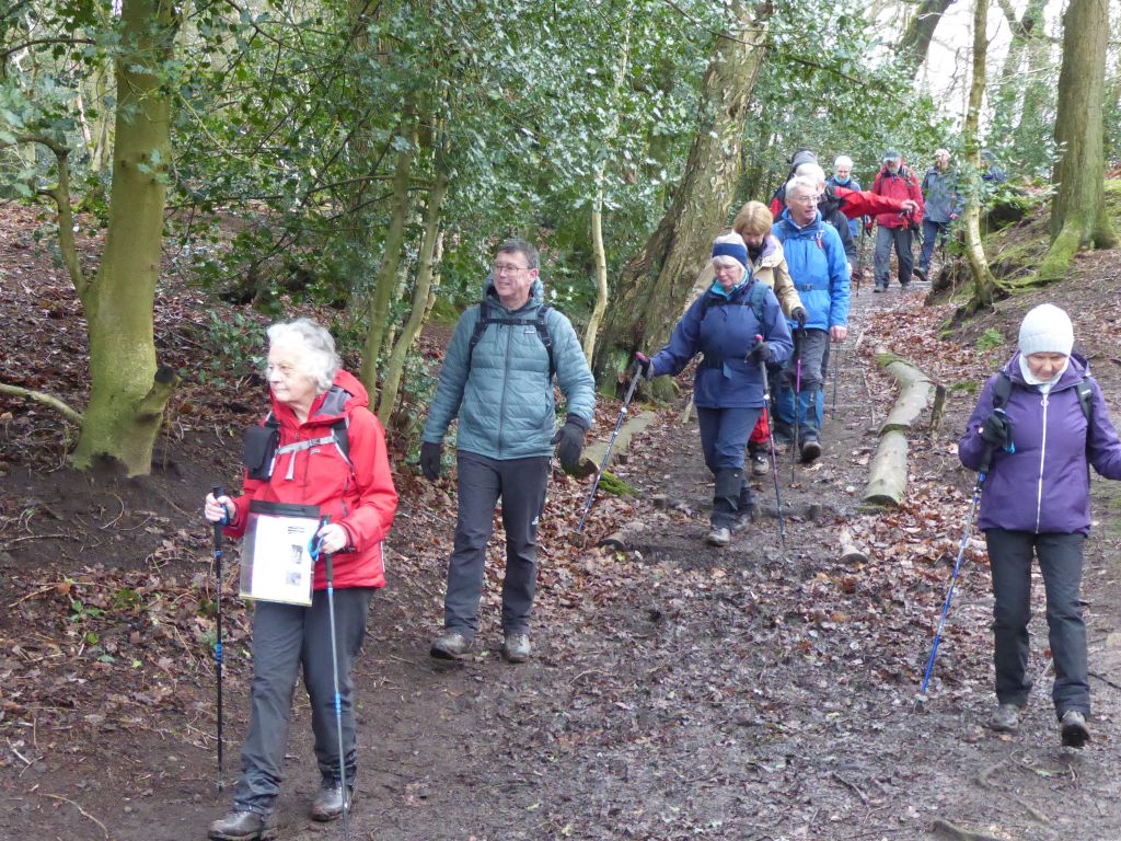
After descending the north side of the edge, the group hugged the edge of the woodland as they made their way towards Mottram St Andrew testing the boggy ground as they went.
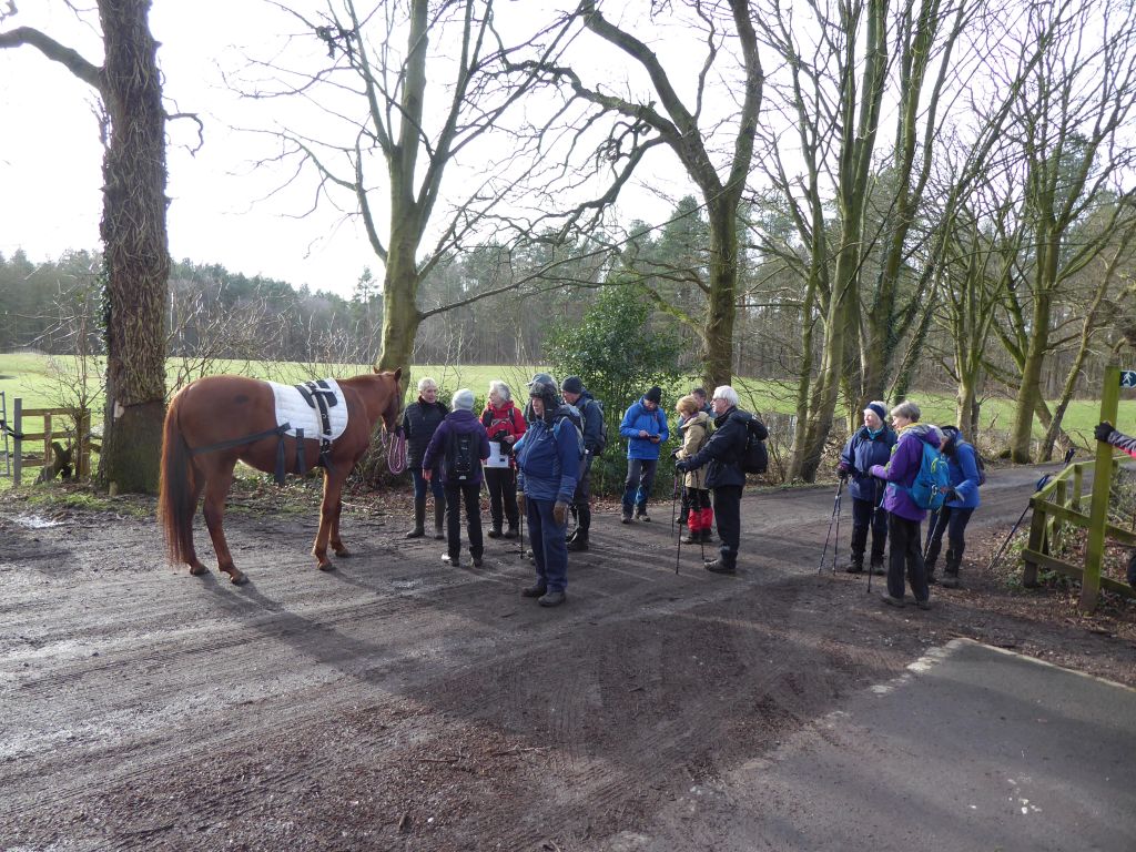
Lunch was at the corner of Finlow Hill Lane by a house on sale for £5.8 million. From there the route pointed to Alderley Park but a kind lady walking a horse helped out with directions along the lane.
Emerging on the Congleton Road by Monks Heath traffic lights, the group strode along the road for a couple of hundred yards before turning north west along Bollington Lane (not that Bollington) and then north over the Alderley Edge bypass and into the graveyard of St Mary’s Church Nether Alderley. The large building on the right of the churchyard is the mausoleum holding the bodies of the Stanley family – local landowners. The building is big enough to hold lots of them; or maybe they like to have lots of space around them.
21 Feb 2024 Sandbach to Alsager Leaders: Janet, Length of walk: 9.5 miles, Driving Distance: 0 miles, Number walking: 11
Start from Waitrose car park Sandbach
Click here to see a map of the walk.
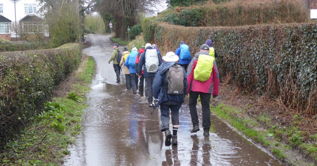
The leader promised mud and she was right. There were stretches where the surface was firm and dry; there stretches where the surface was firm and under water but the overall flavour of the walk was slippery mud. The only fall reported was the leader claiming an out-of-control bramble brought her down. The walkers must be getting better at walking in muddy situations; they have had plenty of practice.
The other expected downside was the rain that had been forecast for the entire morning. In the event, the ever-present clouds produced only light rain and not all the time.
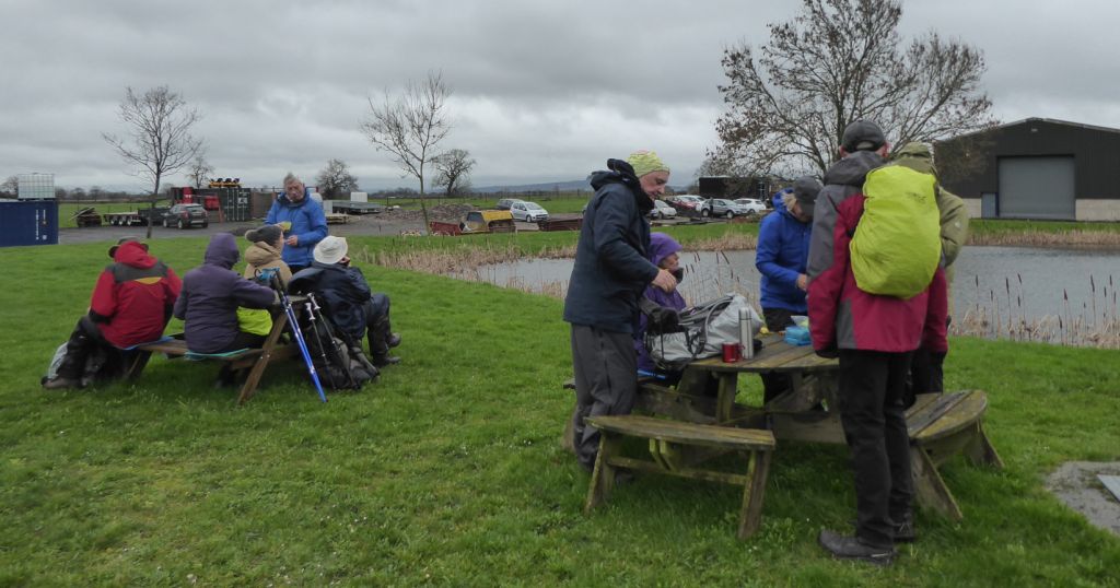
The leader shot off into Brook Wood following the brook where possible to the canal. By taking the longer route to the locks, she avoided the main road through Wheelock and then took the underpass to reach the open fields leading to the vet practice at Wheelock Heath. There it was time for a coffee stop, where she kindly handed out flapjacks to the hungry walkers. Then there was some road walking through Hassall until Dunnocksfold Road beckoned to take away the threat of traffic by providing a surface of potholes and puddles lakes.
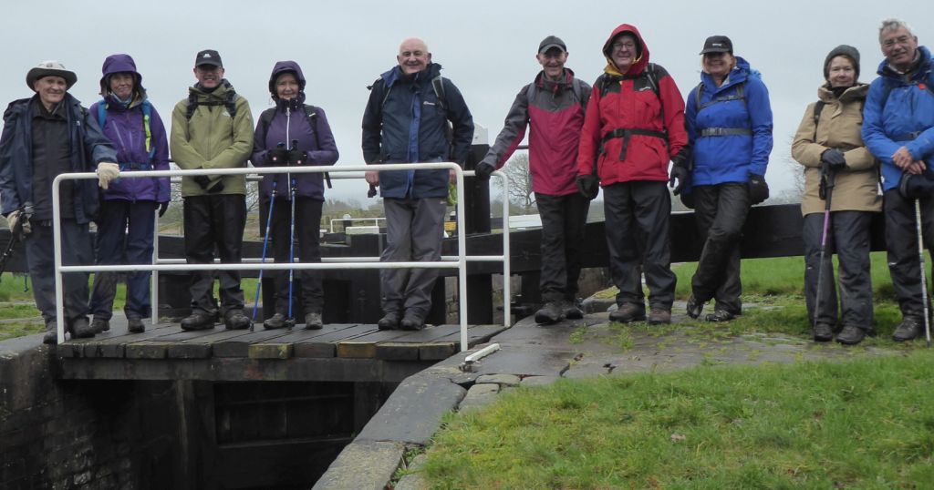
This quiet track took the group over the M6 and up to the edge of Alsager. After skirting the built-up area, the route turned back past the household waste site. Since the site is currently under threat of closure, this may be the last reference to it in these annals. After crossing Borrowpit Meadows, the group followed the Salt Line Way to the canal looking for a suitable place for lunch. Lock 59 was the first site deemed suitable and the group sprawled across the lock gates and bench. A narrow boat approached but declined to ask the walkers to move; they crew moored by the towpath until the rough walkers decided to move on.
Before reaching Malkins Bank, the leader chose to take the group down Stannerhouse Lane down to the bridge over the brook near Tall Chimneys. Although Stannerhouse Lane looks like a road on the map, it is suitable only for tractors and walkers in waterproof boots. It is not the place for a leisurely stroll.
After surviving the glutinous field by Tall Chimneys, the walkers made their way to Hassall Road, where they enjoyed the tarmac of Houndings Lane for a while before following the footpath in the field down to the roundabout on Old Mill Road.