4 Aug 2021 Cheddleton Leader: Bill & Ruth, Length of walk: 10 miles, Driving Distance: 25 miles, Number walking: 18
Click here to see a map of the walk
The weather was fairly kind. It was sunny with rain constantly threatening in the distance but no rain fell during the walk.
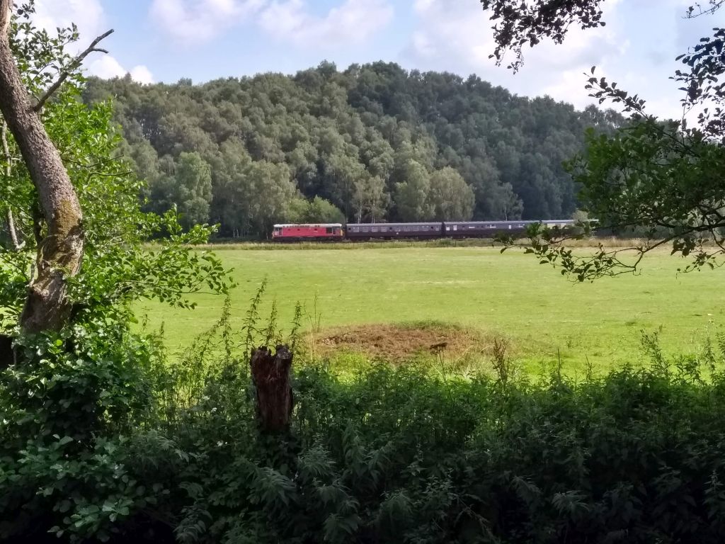
Cheddleton Station is a base for the Churnet Valley Railway and one of their recent acquisitions was on display. They had spent £30,000, according to a volunteer informant, for a rusty carriage bought 12 months ago. All the outside panelling would have to be replaced and no doubt the volunteers will thoroughly enjoy putting it back together again.
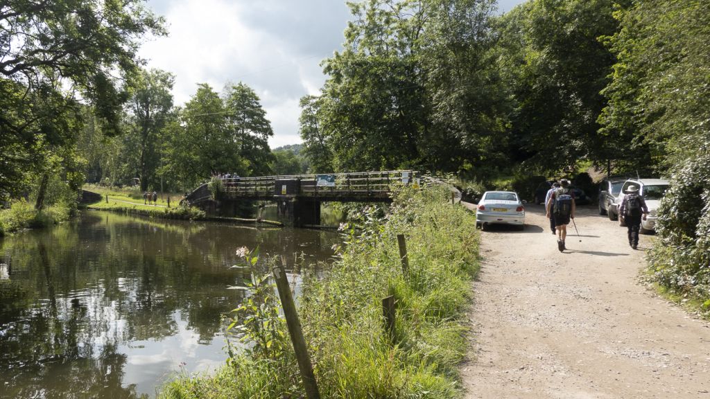
Three old faces that had been missing for months reappeared – Ralph & Ann and Tom joined the group as they crossed the railway and set off on the towpath of the Caldon branch of Trent & Mersey canal.
A lively discussion took place on the operation of a lifting bridge but it was all academic for a group that was committed to the towpath for several miles.
Several walkers let the group carry on without them so they could see the 10:30 train with 7 carriages from Froghall. Disappointingly the train was hauled by an old diesel locomotive rather than a delightful steam engine puffing smoke and smuts over the countryside.
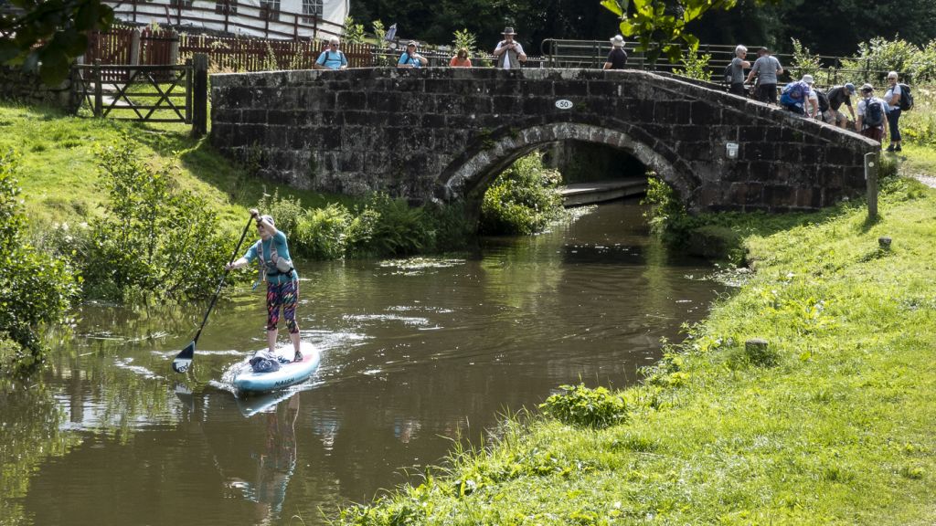
The coffee stop was planned for the lime kilns near the Black Lion pub, but the vegetation was too thick to allow sitting down. This is likely due to excess carbon dioxide in the atmosphere leading to weeds taking over. Check the gutters in a street near you. Since the pub seating was unavailable for a cheapskate group like this, the walkers sat on and around the canal bridge near pub. A curious feature of the canal at this point is that it just left the River Churnet after merging with it at Oakmeadowford lock. After all, why dig a canal when the river is just feet away.
The easy stroll on a level towpath soon came to an end as the group ventured into Consall Wood nature reserve. Nature reserves often arise when the land is difficult to use for anything productive. The paths through Consall Wood provide a roller-coaster experience in slow motion. Walkers repeatedly stagger up and down steep paths through thick woodland until they think it will never end.
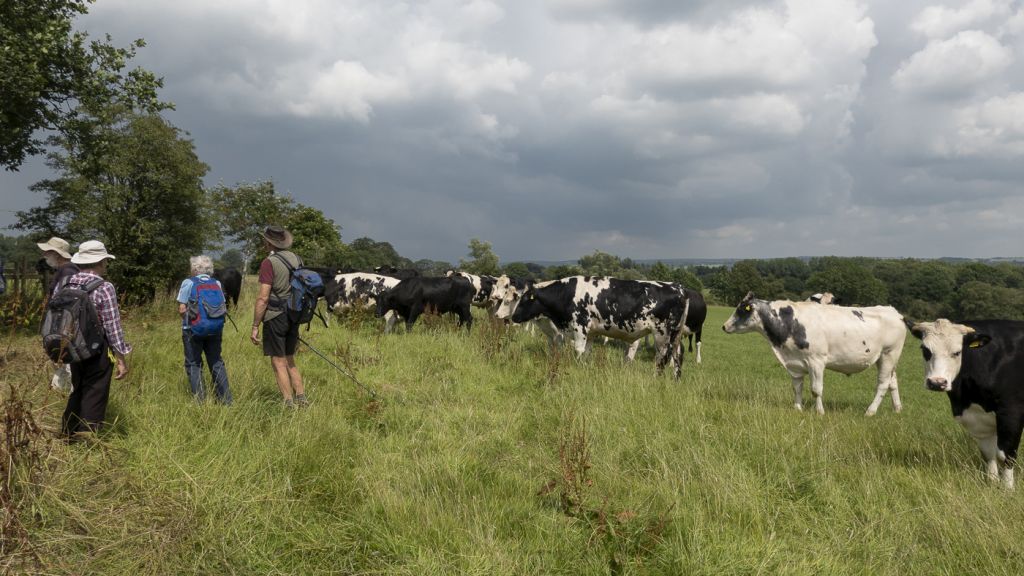
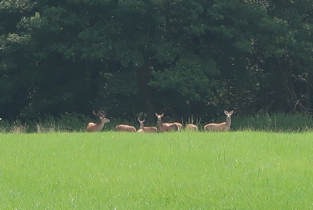
The nature reserve did end and the group emerged into a field with a herd of inquisitive bullocks. Fortunately Tom was able to fend them off using medical skills developed for NHS waiting lists. What a boon that is. The next field appeared empty until someone noticed a small herd of deer keeping well out of the way on the edge of the wood. Would you rather be charged by a heavyweight bullock or a delicate deer with tough antlers? A decision wasn’t required on this occasion.
The road into Wetley Rocks passed the garden, where Ralph disappeared with his camera on his last visit to the area in April 2016. The owner who dragged Ralph in was missing this time, so there was no delay.
Shortly after entering Wetley Rocks the path goes off up the hillside and under the house built on the top of the cliff. As usual nobody came out of the house to offer a cheery greeting. Martyn bought a Magnum at the filling station to ease the climb and cool down. He did well not to drop it during the climb.
The chimneys of the Pointon’s rendering plant dominate the skyline from the top of the cliff. An Irish meat company – ABP – bought the company in January 2020. It reclaims animal by-products from the meat processing industry, such as bones, fats, offal, blood and feathers, and renders them to produce high-quality fats/oils, processed animal proteins and biomass fuels. Having had a close encounter with walking meat mountains earlier, the group was gratified to know that when the edible bits are put into plastic boxes, the rest of the carcases are processed for even more value.
Although the car park was less than a mile away, the group stopped for a refreshment stop on a hillside overlooking the canal / river/ railway. This provided an opportunity to muse on the lumpy nature of Staffordshire scenery. Stephen was woken from his afternoon nap to offer an expert view. Apparently it’s Carboniferous.
The path down to Cheddleton station was a rerun on a smaller scale of the Consall Wood roller-coaster, which made the journey seem longer than expected. On one of the low-lying sections of the path the group met a flock of pheasants clustering round the feeders provided for their welfare. The feeders were presumable placed on the road to make sure the shooters don’t have to walk too far from their vehicles.
What a delight it was on the way back into Congleton down Dial Lane to see the Cheshire Plain laid out with hardly any lumps to spoil the view. No wonder those prehistoric builders erected the Bridestones viewing platform to enjoy the scenery.


18 Aug 2021 Trentabank to Croker Hill Leader: Beryl & Jacqueline, Length of walk: 10 miles, Driving Distance: 20 miles, Number walking: 14
Click here to see a map of the walk
For anyone worrying about the future availability of water supply it was a good day. The reservoirs en route were nearly full and the sky was full of clouds, some of which were close to the ground. From time to time the clouds released a gentle drizzle to stop walkers overheating. The previous day’s rain had soaked the grass and anyone venturing without waterproof trousers or gaiters ran the risk of soggy trousers dripping into their socks. That is today’s tip.
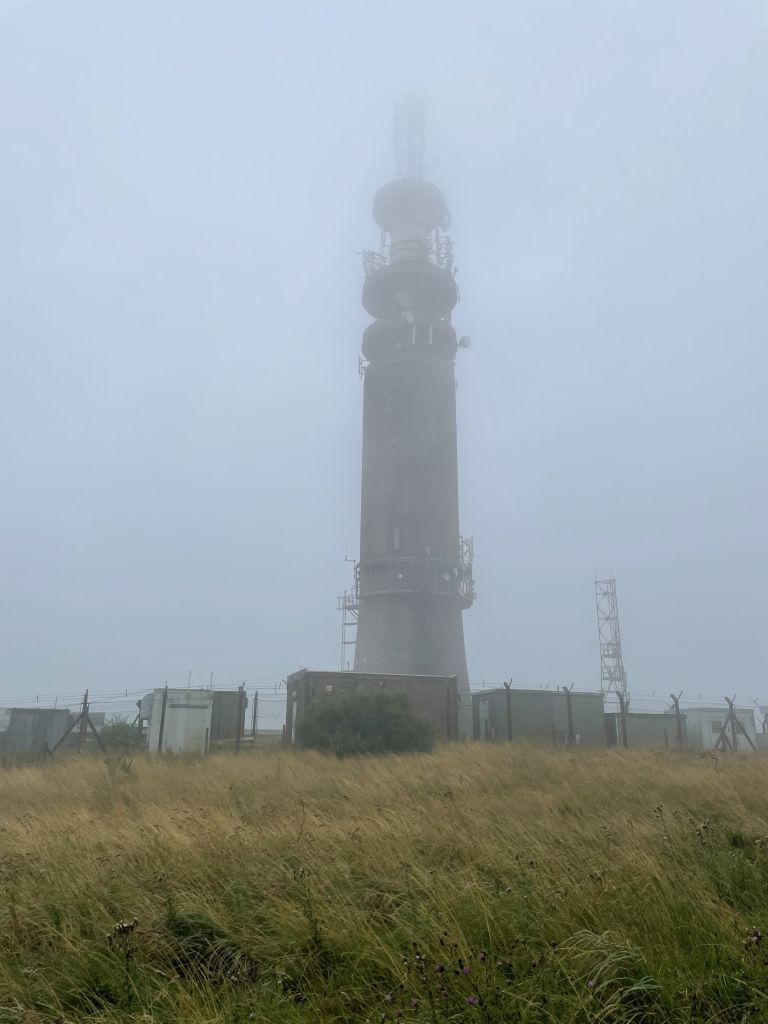
Knowing that the target for the walk was the highest hill in the area – Croker Hill, the leaders set off downhill from Trentabank. Their mission was to reach the Gritstone Trail and follow it to Croker Hill. The telecoms tower on top of the hill is visible from large parts of Cheshire but appeared for the walkers only just before they were liable to bump into it. The clouds performed a fine interpretation of the Dance of the Seven Veils and it was uncertain whether the telecoms tower was obscured by the many false crests on the way up or was lurking in the mist. It would have been comforting to see the tower getting closer but the small number of sightings prevented that satisfaction. The walkers did have the satisfaction on the way up of spotting some of the wild deer that live in the area.
On arrival at the top of the hill the leaders firmly said that this was not the spot for lunch even though it was 12:30! Instead the group followed the Gritstone Trail to the A54 for a short period of (risk-assessed) road walking.
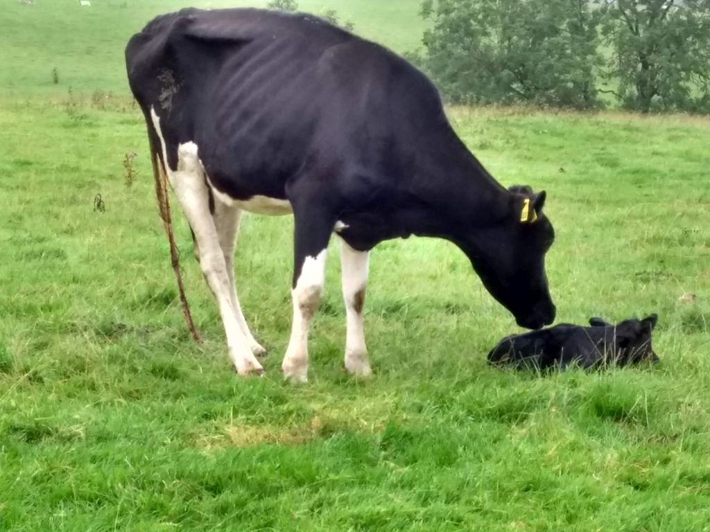
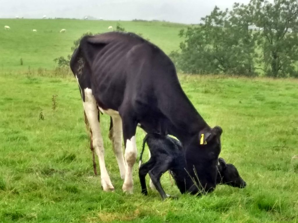
On entering another field the group passed a lonely cow that had just given birth and was wondering what to do with the new addition. The calf was probably wondering what had gone wrong after being dropped onto solid, cold ground from a soft, warm and dark haven. With some licks to encourage it, the calf tried to stand but managed only to hoist its rear before the group moved on. They had lunch to consider and settled down to it on the same wet grass that was soaking their trousers.
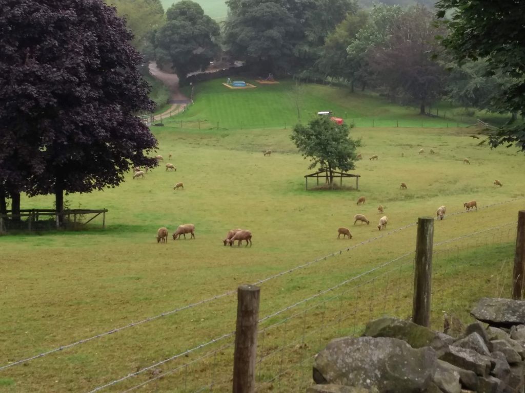
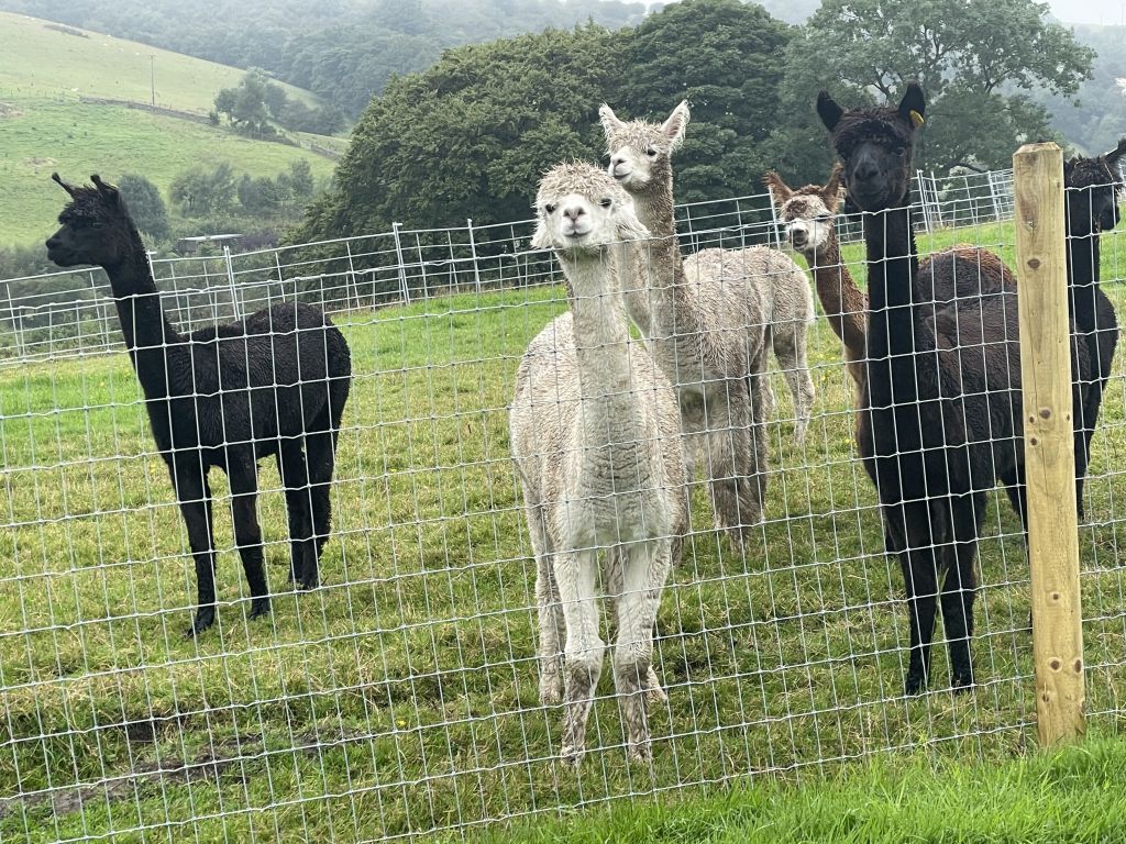
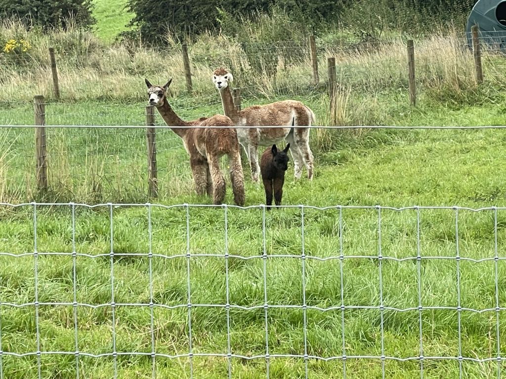
To vary the fauna sightings some alpacas appeared, which was timely as the case of Geronimo the TB victim was still undecided. Separating alpacas from walkers required the path to be fenced off like a narrow prison camp.
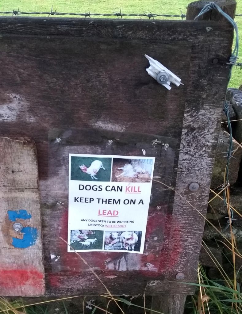
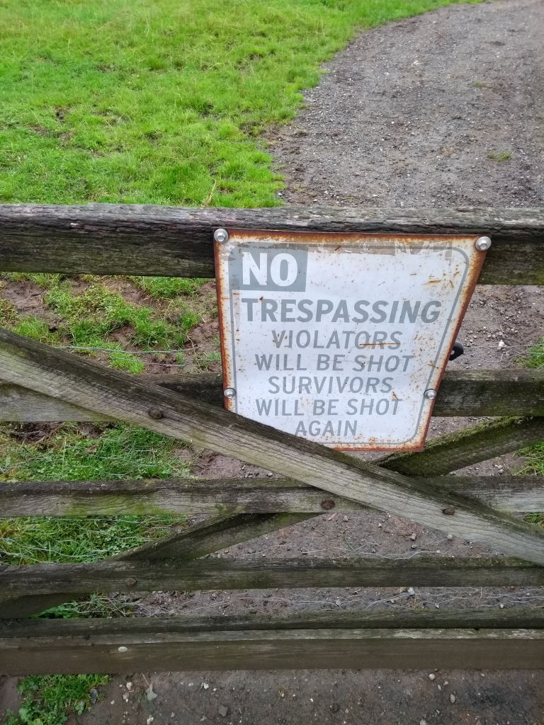
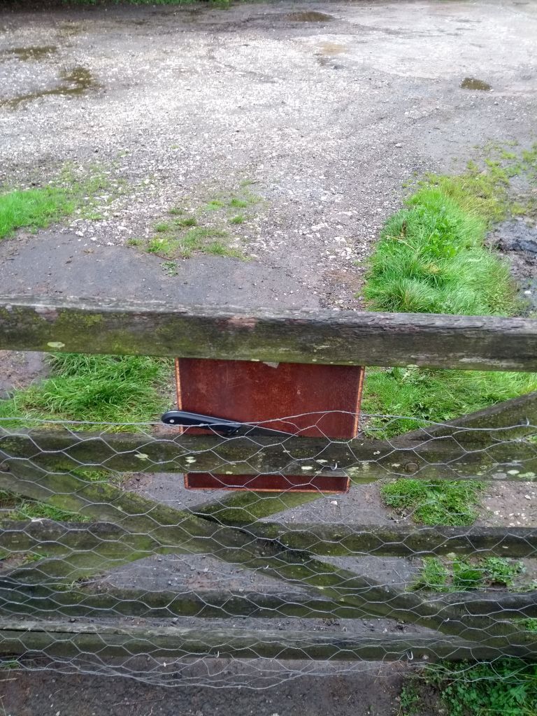
The gate at Lowerhouse Farm carried a brutal warning against trespassing (see the media section) or was it a joke? The walkers stuck to the path just in case.
When the group reached Ridgegate Reservoir, the leaders declined the easy route back to Trentabank and followed the Gritstone Trail again. There were two reasons for this: it avoided the same path they set out on and it made the walk up to a respectable 10 miles. Since it wasn’t actually raining at this stage the walkers didn’t complain.
25 Aug 2021 Eyam Leader: Stephen, Length of walk: 10 miles, Driving Distance: 40 miles, Number walking: 14
Click here to see a map of the walk
The leader had the inspired idea that a pleasant walk in Derbyshire would distract walkers from the news about Covid-19. He chose as the starting location, the village of Eyam, which is famous for its role in the Second Plague Pandemic. Outbreaks of plague rose and fell for about 400 years from the middle of the 14th century and the one that struck Eyam was the last major one in Britain. For completeness the first plague pandemic was the Plague of Justinian in the 6th and 7th centuries AD. The third one started in 1855 in China and was considered active until 1960. Why was this kept from children growing up in 1950s Britain?
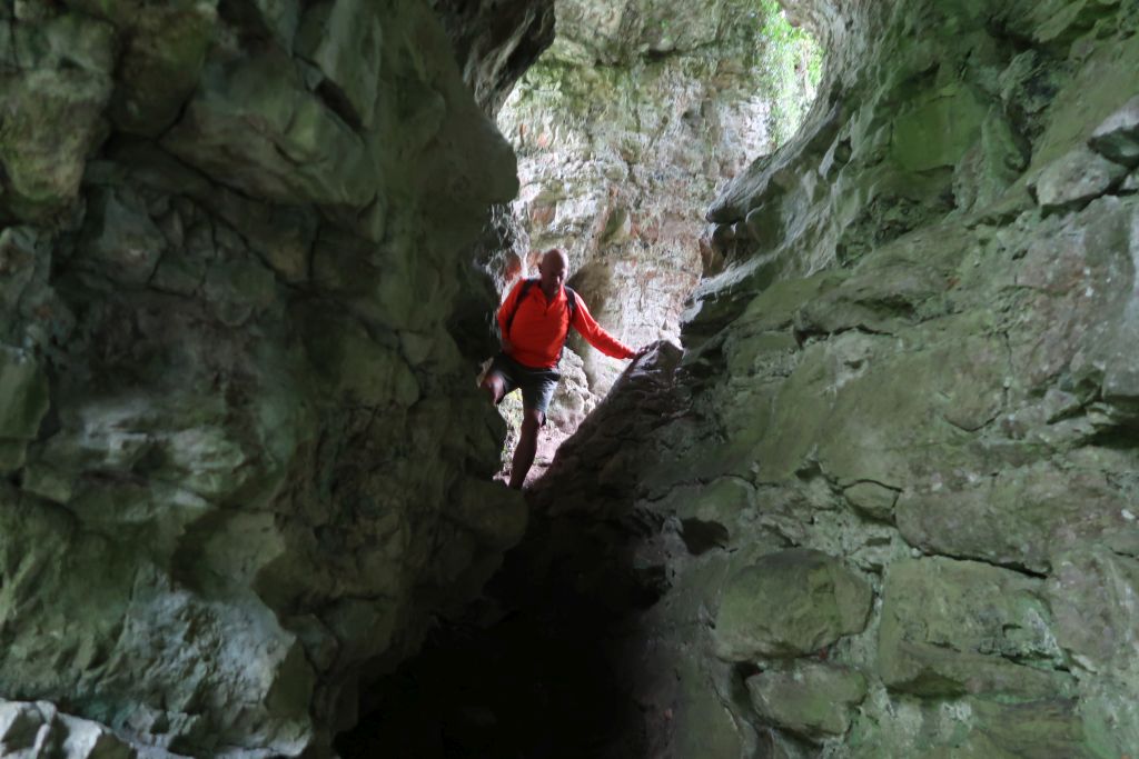
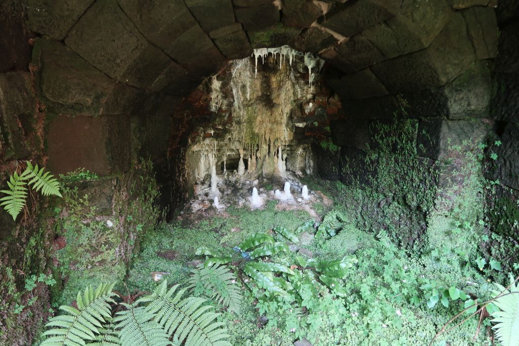
The leader announced at the start that he would not relate the story of how the vicar of Eyam insisted that the village was isolated after the plague started but he couldn’t resist diverting to Cucklet Delf or Cucklett Delph. This holds the remnants of caves eroded out of the limestone and provided a socially-distanced site for the vicar to hold church services during the 14 month period of quarantine.
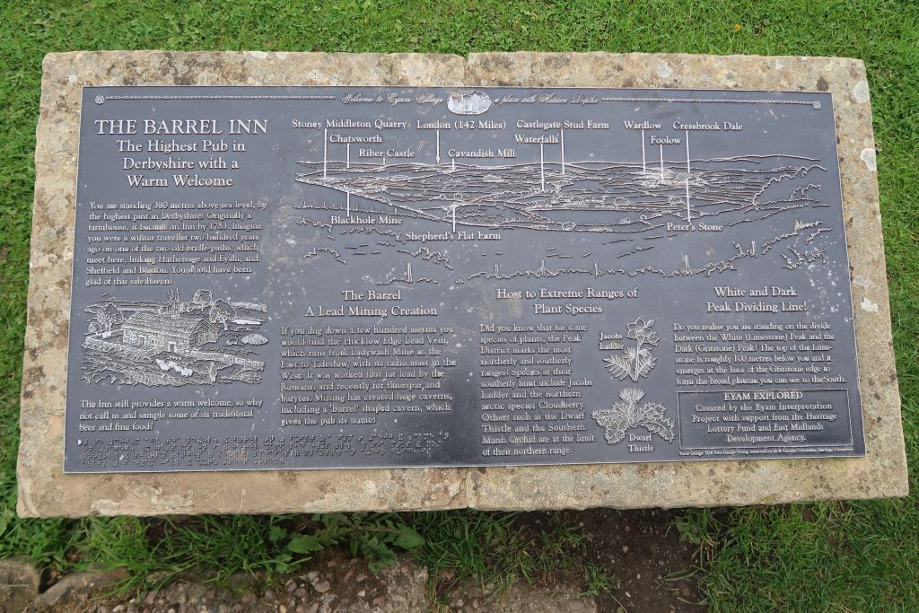
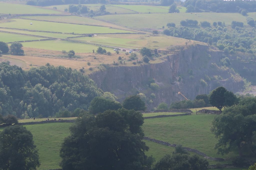
After climbing out of the delph the group walked across a few level fields until it was time to climb Eyam edge. The route passed a fluorspar grinding plant and went up diagonally to the Barrel Inn on Sir William Hill Road. The hill named “Sir William Hill” is named after a Sir William but no one knows which one. It is possible that it was named as a joke; mischievous humour has been around for some time.
In 2021 some bright spark in the Campaign to Protect Rural England charity decided to give the collective name Ethels (like Munros only more local) to 95 hills in the Peak District in honour of Ethel Heythornthwaite, who campaigned after the First World War for public access to the countryside. Sir William Hill is an Ethel, as is Shutlingsloe and Shining Tor in Cheshire.
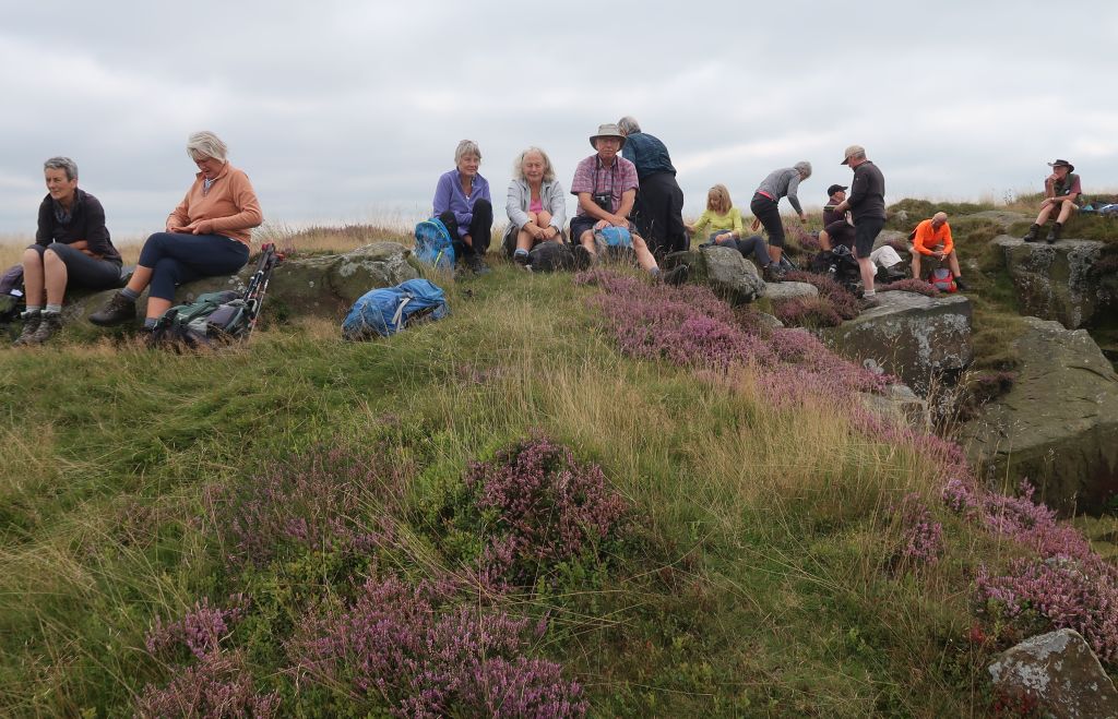
Lunch was planned on top of a hill but, before reaching the designated spot, the walkers had to negotiate a large swarm of flies which blundered around with legs dangling below them. These were heather flies, which look and fly like hawthorn flies. Hawthorn flies are also known as the St Mark’s Fly because they appear close to St Mark’s Day in April but live in a flying form only for about a week.
After lunch the route went back towards Eyam and passed the site of the Ladywash lead mine (closed in 1979), where mysterious smoke or steam could be seen. Mysterious happenings near an abandoned mineshaft? A case for Scooby Doo!
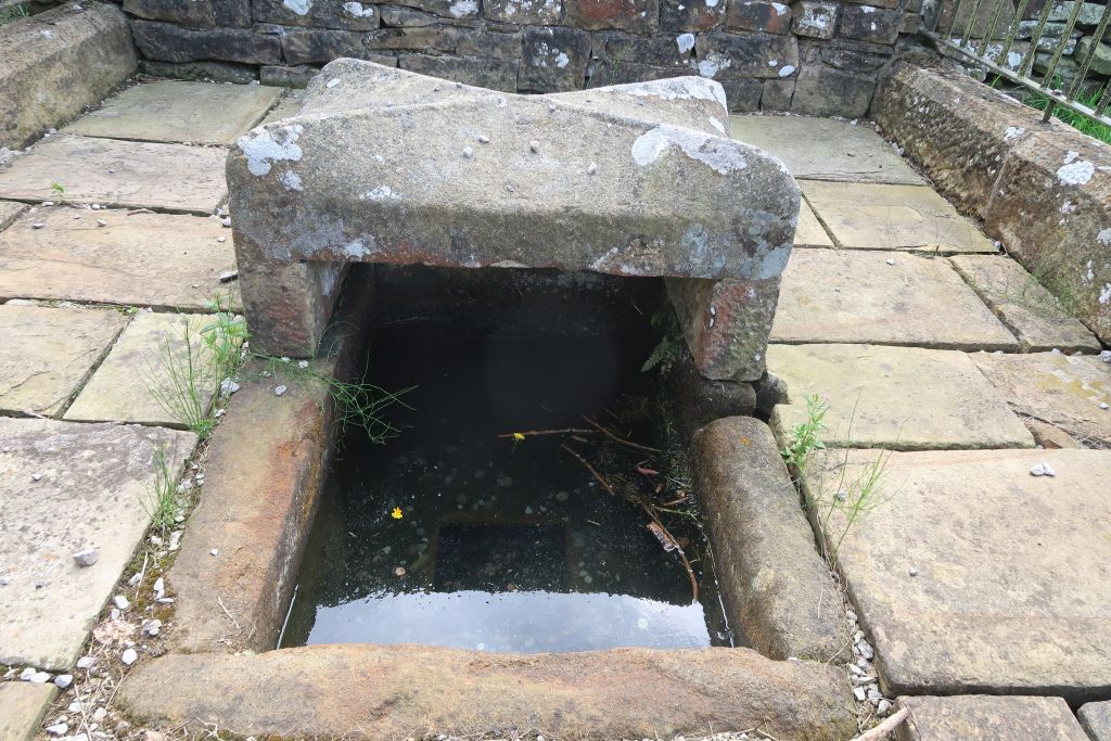
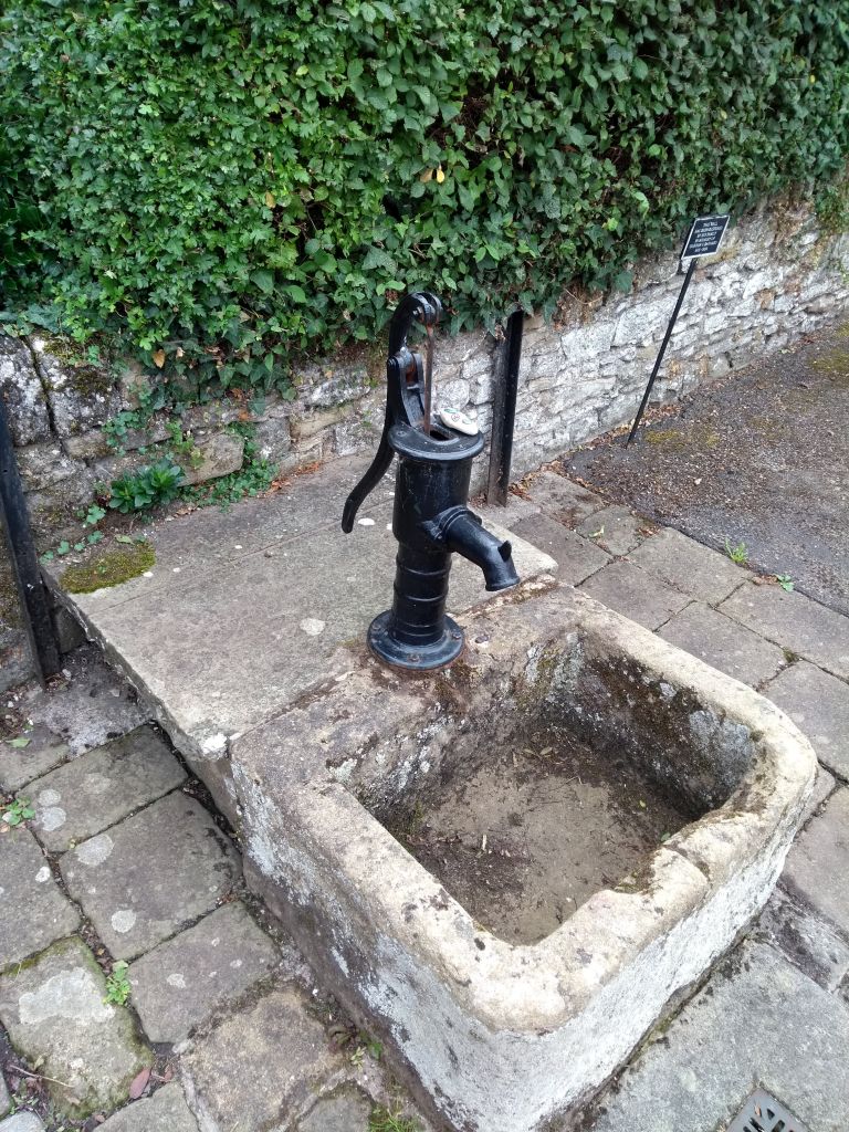
Another plague relic came into view and the group went to visit Mompesson’s well named after the vicar in place when the plague struck. This is a spring in the hillside but looked rather stagnant on this visit.
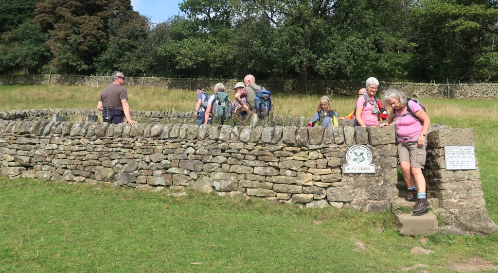
After arriving back in Eyam, the group visited one of the enclosures containing the graves of plague victims. This one contained the Hancock family except the mother who survived after burying her six children and husband in a week. Why she wasn’t with them was missing from the explanatory plaque. Perhaps the emergency provision that required everyone to bury their own dead was rescinded and she was buried in the churchyard. To add insult to injury, the enclosure is known as the Riley Graves after the name of the farmer in whose field they were placed.
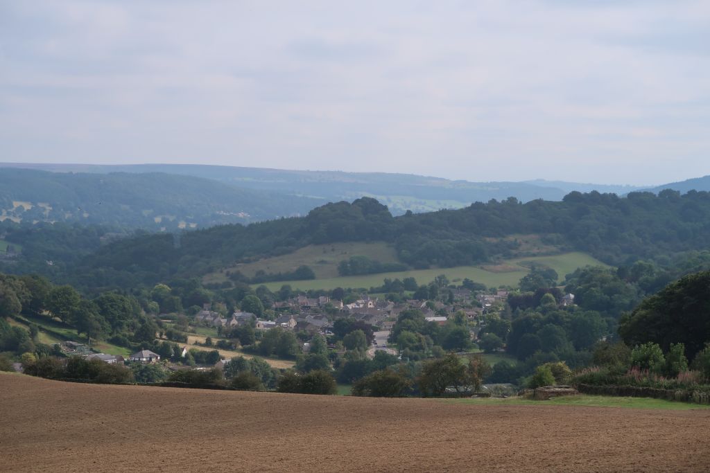
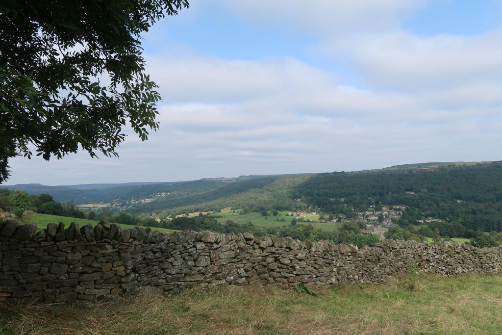
On the way to Stoney Middleton the group paused on a hillside overlooking Froggatt for a refreshment stop with extensive views. Stoney Middleton has a hot spring (a warmish 63° F) and a history of trying to emulate Buxton as a tourist spa. The attempt came to nothing and the 19th century “Roman Baths” fell into disrepair. The building has been restored but was closed.
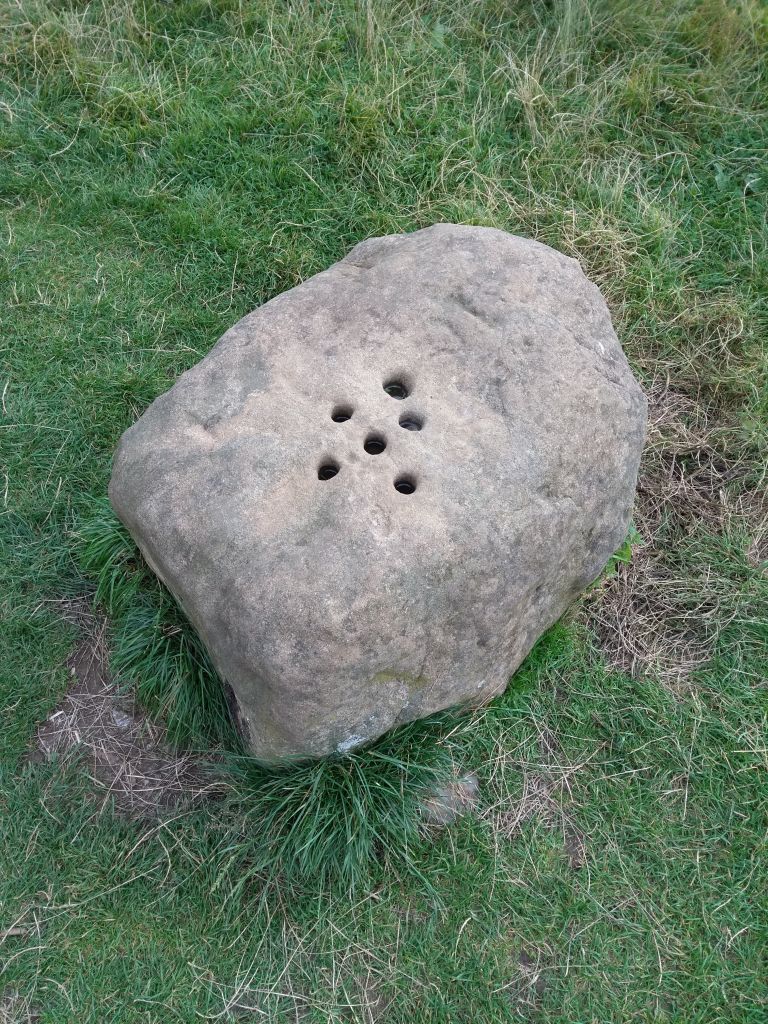
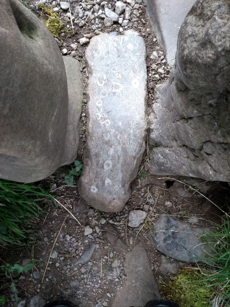
The route to Eyam involved a steep hill at the top of which is a stone allegedly used for exchanging money for provisions during the quarantine. The holes drilled in the top of the stone contained vinegar for sterilising the coins to pay for the provisions. Another stone nearby provided the base for a stile and contained fossil crinoids – marine animals also known as sea lilies. The crinoids did not die of the plague.
On entering the village of Eyam, the group passed another enclosure containing the graves of a father and daughter struck down by the plague. Over 250 villagers died of the plague. How many other grave enclosures are scattered around the village?