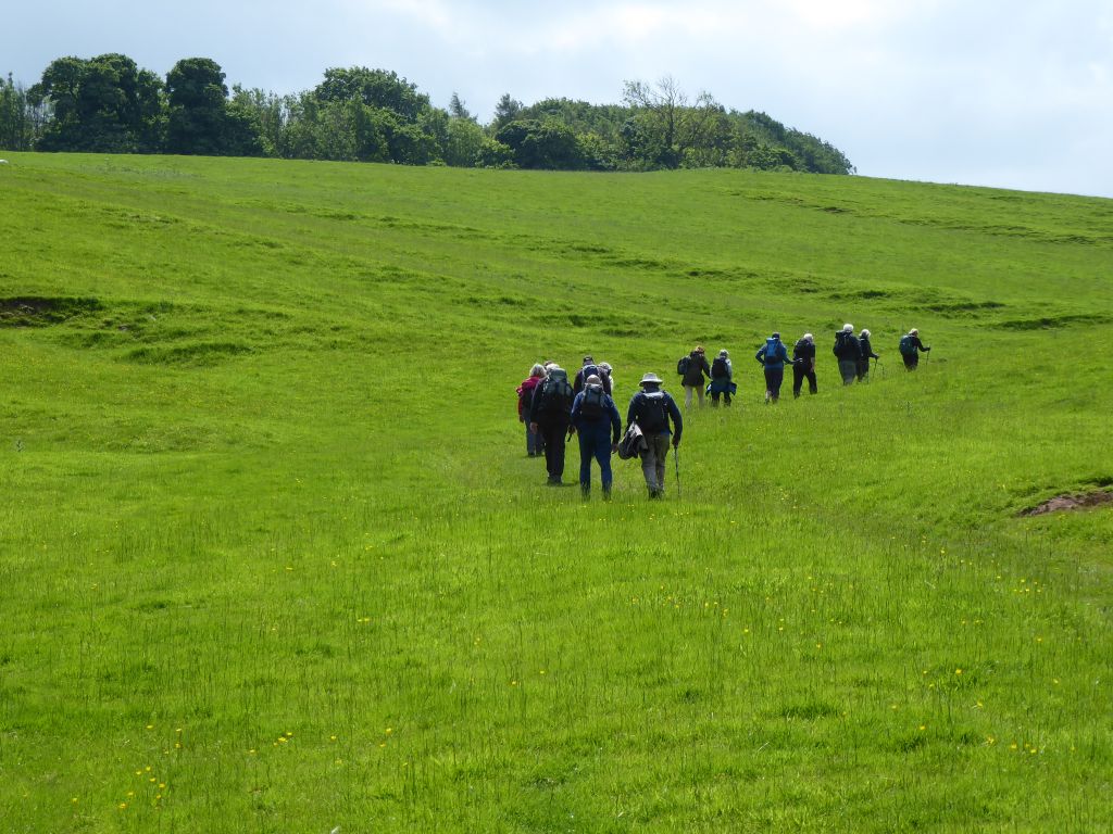
5 June 2024 Waterhouses Leader: Beryl, Length of walk: 9.25 miles, Driving Distance: 26 miles, Number walking: 15
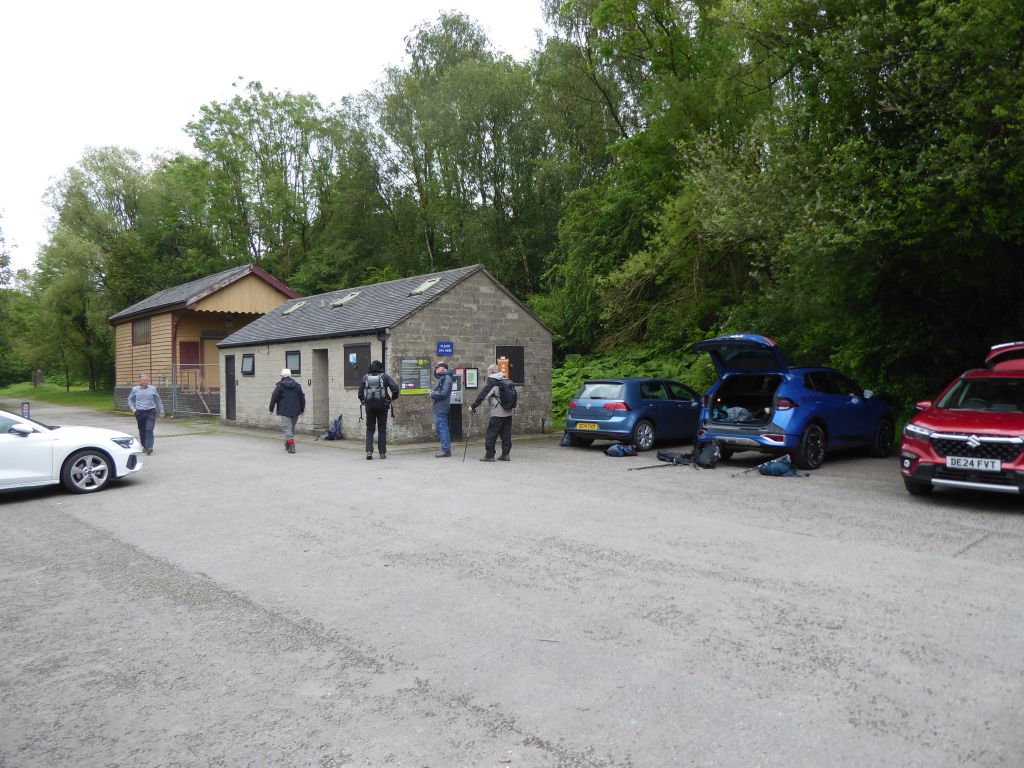
Parking is at Waterhouses car park ST10 3JS
Click here to see a map of the walk.
The weather was very suitable for walking. The sun shone most of the time but didn’t have the power to make the temperature rise much. There were several slight showers during the walk, which required waterproofs but those who had prepared for heavy rain were forced to remove layers to stay comfortable.
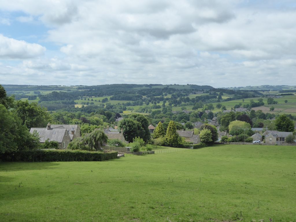
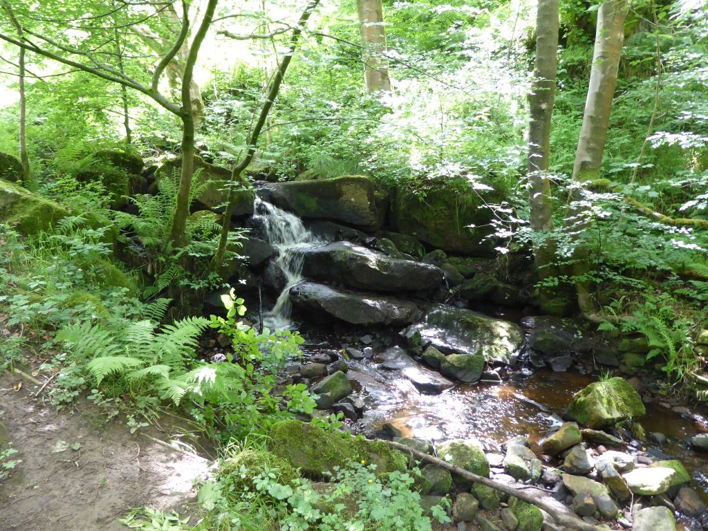
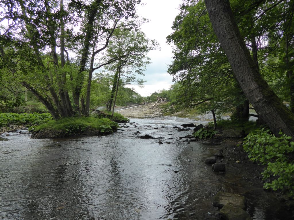
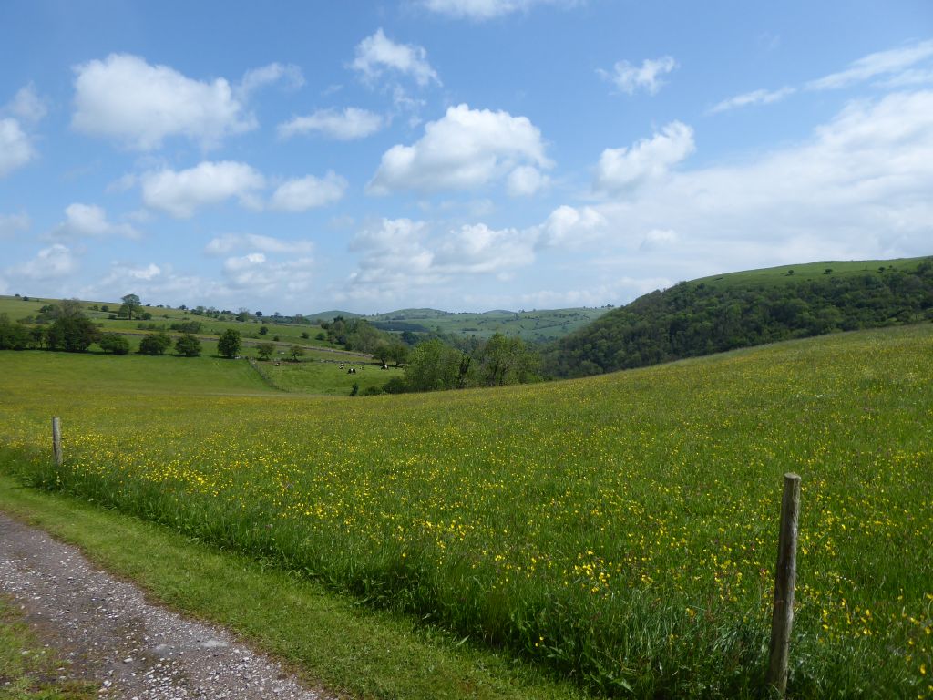
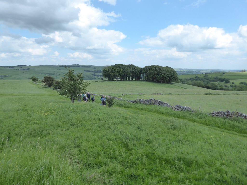
The route left Waterhouses along the road that runs alongside the (now empty) River Hamps but after a mile, the leader decided to take a path up some hills to the west of the river. The group rejoined the River Hamps shortly before it joins the River Manifold and passed through a less than luxurious caravan site before climbing again.
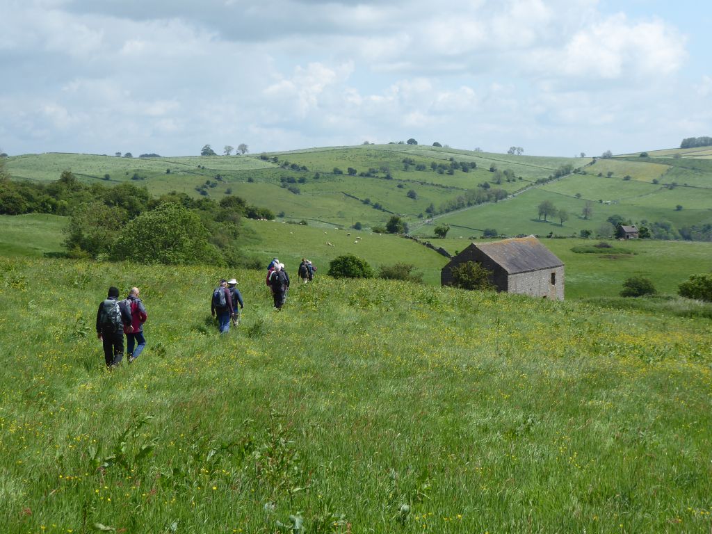
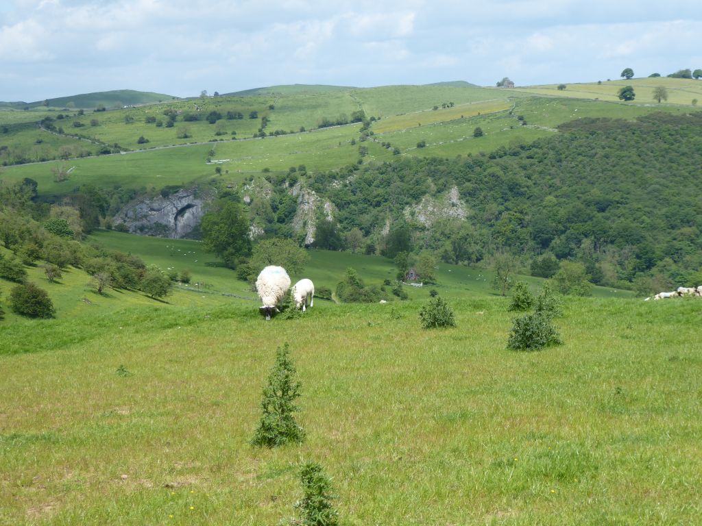
The leader’s intention was to have a lunch stop at Throwley Hall (remains of) but, when she saw the pinched faces of the hungry walkers, she decided to stop on the side of Oldpark Hill looking into the valley of the River Manifold.
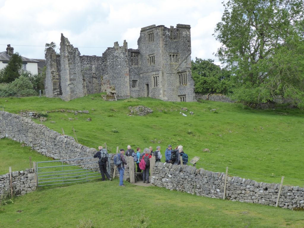
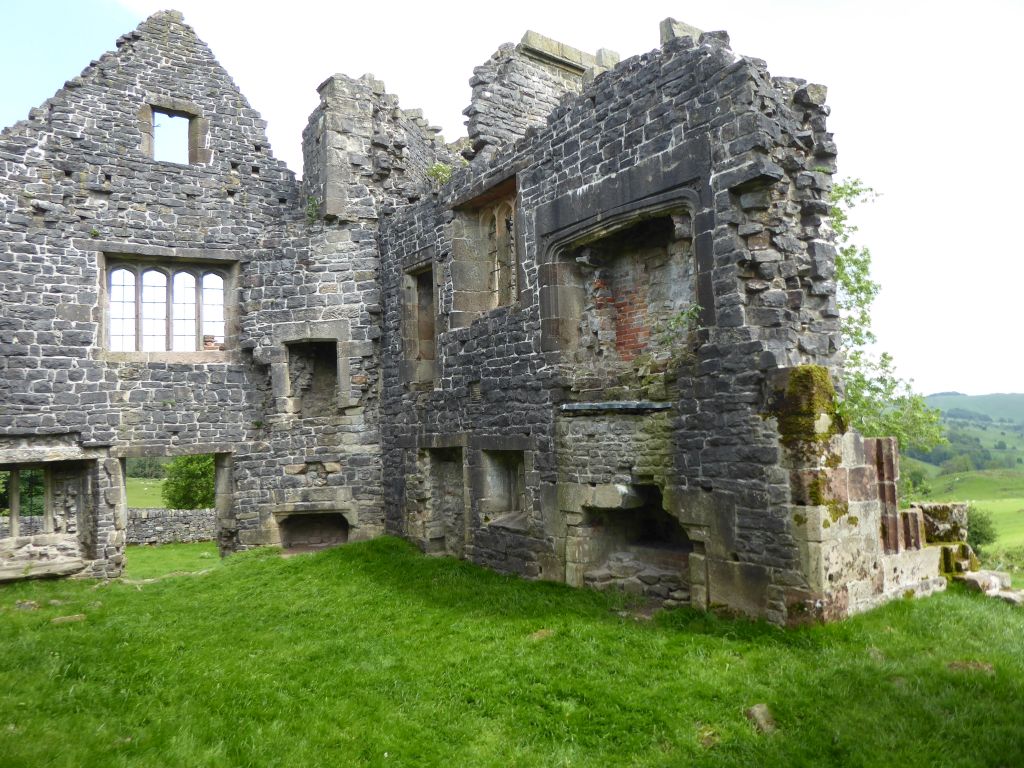
This meant that the walkers had to climb over the hill to reach Throwley Hall (remains of) just after eating, but they managed it without complaint.
Throwley Hall (remains of) was last used as a dwelling in the mid-19th century and the years have not been kind to the structure. It has no roof or floors and some parts have disappeared altogether as the stone blocks proved tempting to more recent building projects. The walkers studied the remains trying to establish what the different parts were used for, but nobody considered making an offer.
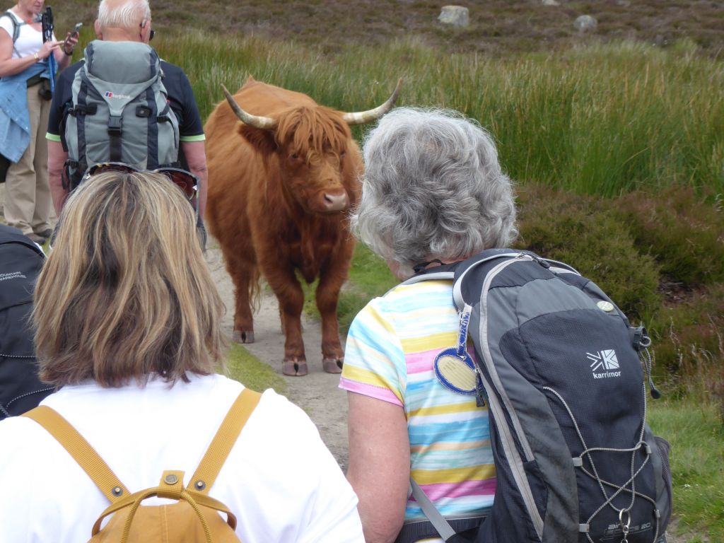
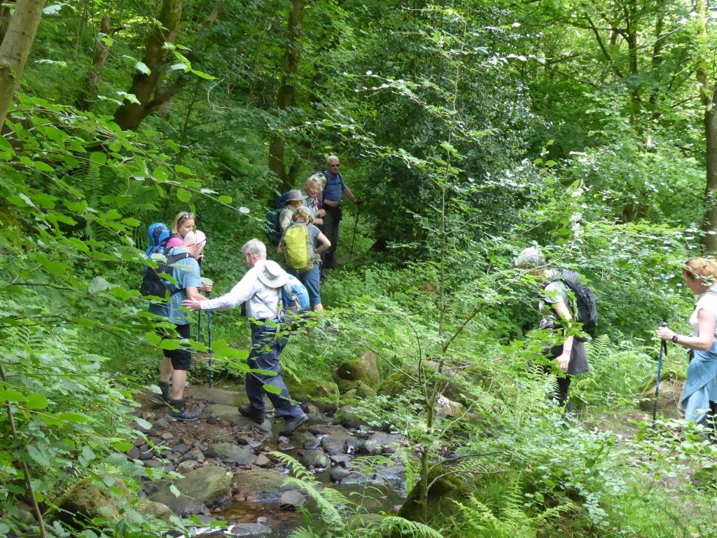
Further climbing was required to reach the village of Calton, but an access crisis occurred when a cow, offended by the group entering the field she occupied with multiple calves, stood bellowing in the opening to the field. Paul H stepped forward and coolly persuaded the cow to move and allow the group to pass. The leader was most grateful.
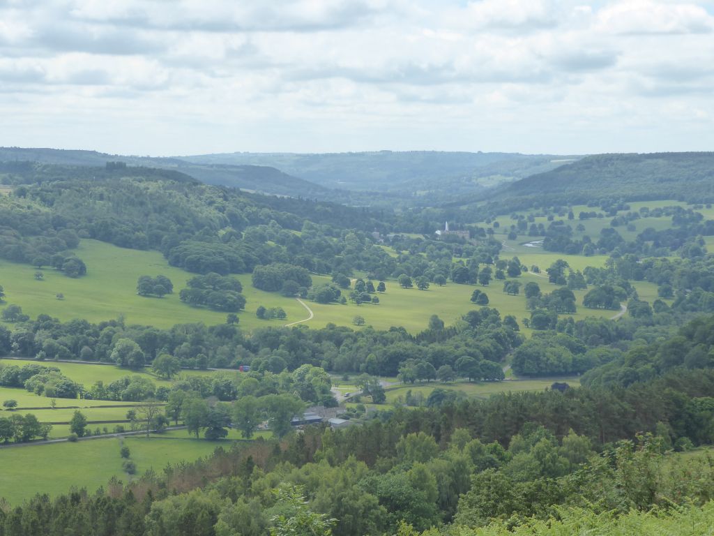
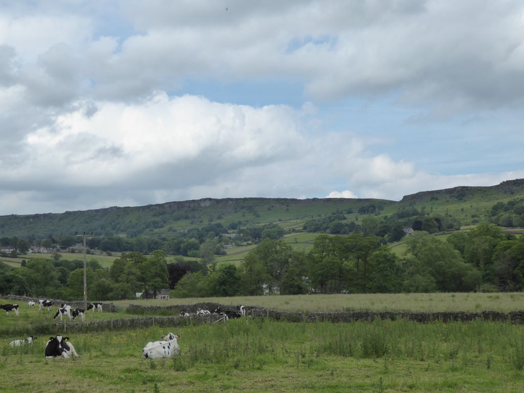
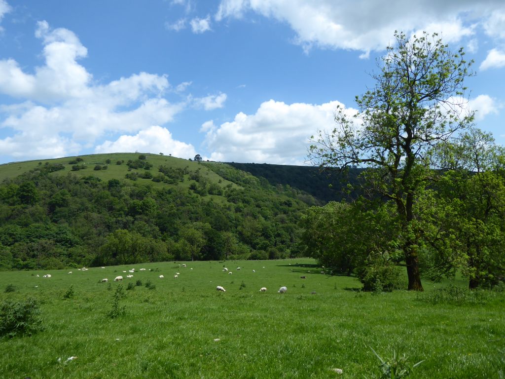
As the group climbed, the sunshine allowed extensive views around the area which includes the striking flat-topped hill of Thorpe Cloud near Ilam.
The group paused by the locked church in Calton then took the road down to Waterhouses. Before the group reached the busy A523, the leader donned a striking hi-vis hat and issued a hi-vis vest to the back marker to make the group visible as they negotiated the narrow footpaths by the Ashbourne road.
All survived


19 June 2024 Baslow to Froggatt Leader: Peter, Length of walk: 9.5 miles, Driving Distance: 42 miles, Number walking: 17
Parking is at Baslow Nether End car park DE45 1SR
Click here to see a map of the walk.
This walk was memorable even before anyone arrived at the starting point; the road from Bosley to Buxton was closed unexpectedly and the search for an alternative route found more road closures. Everyone eventually arrived and set off just before 11am with the sky set to cloudy and bright.
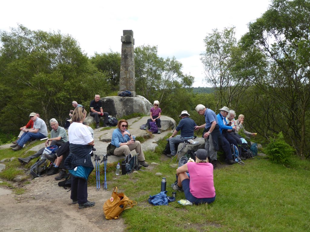
The steady climb from the car park at Baslow was rewarded when the group stopped for coffee at Wellington’s Monument (see the report of the walk from Baslow in September 2023 for a description). The leader had retained some portions of the cake celebrating 50 years of his marriage and distributed it to the grateful walkers.
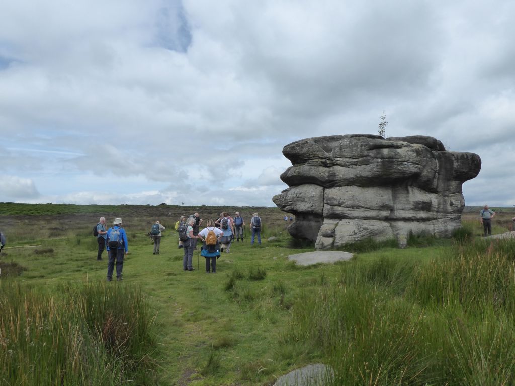
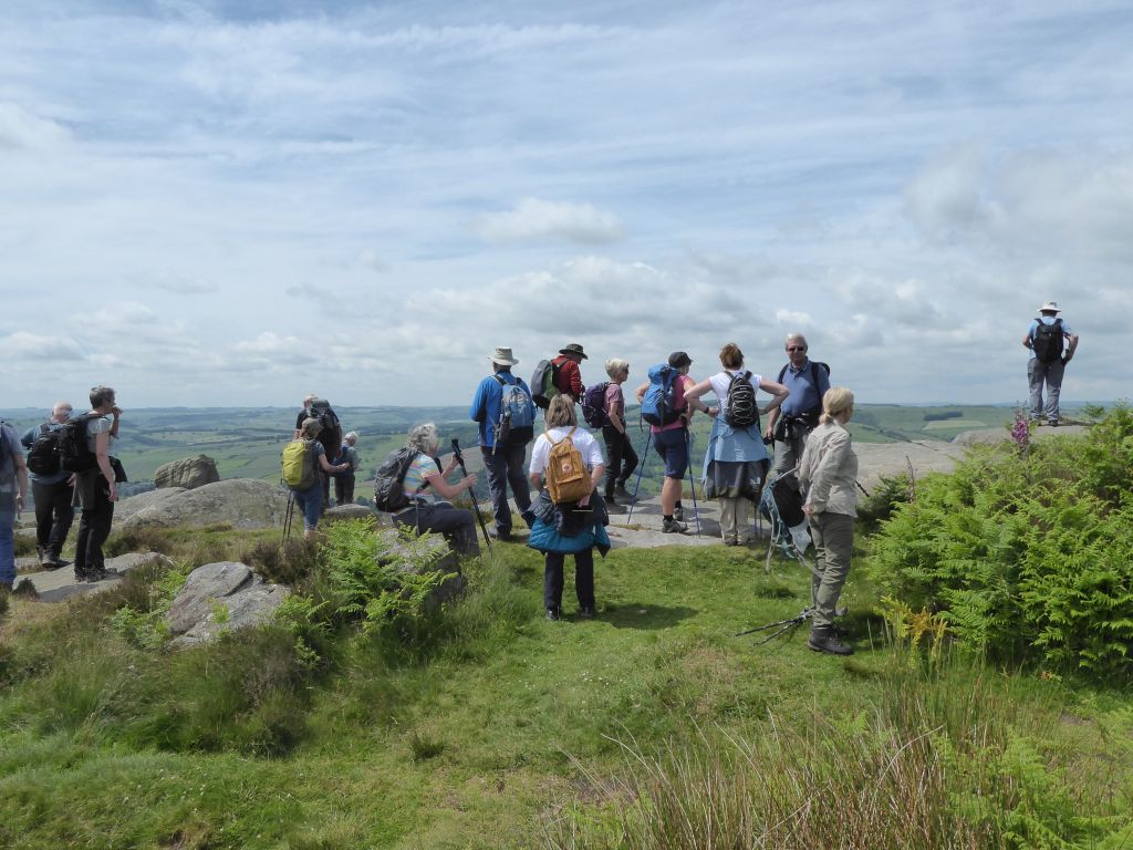
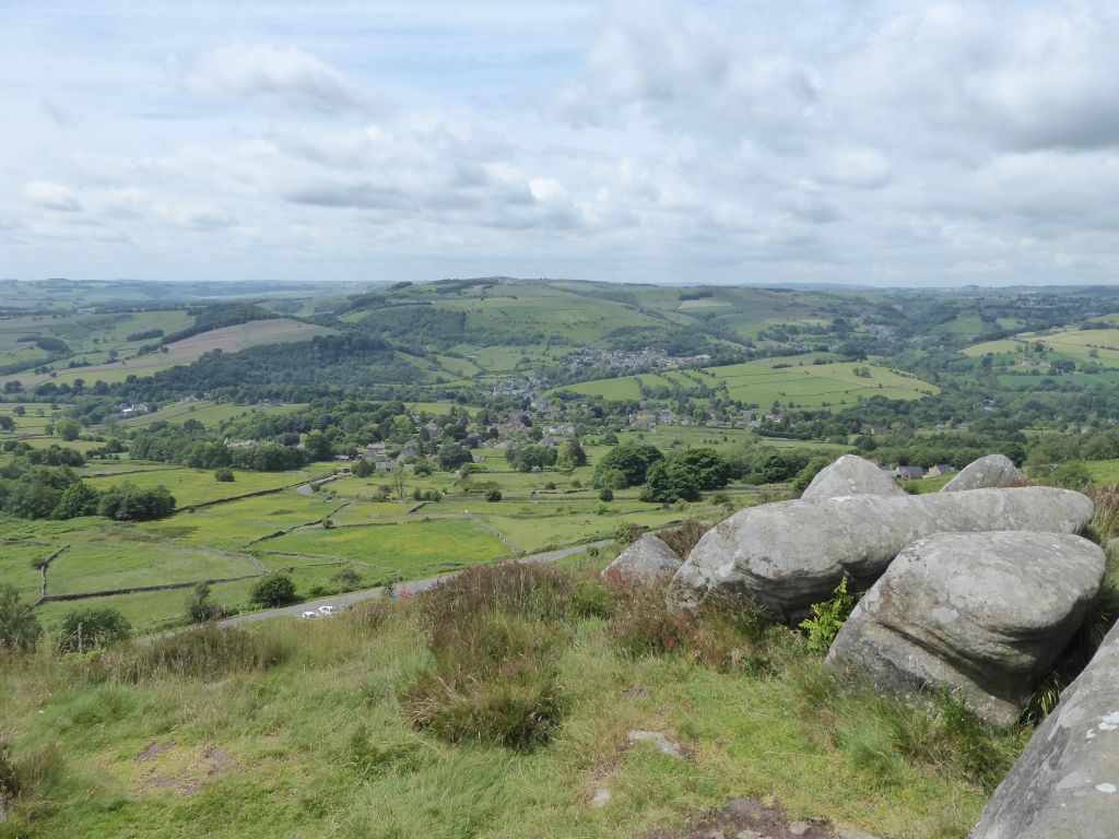
The next item of interest was the Eagle Stone (see the report of the walk from Baslow in September 2023 for a description). As the walkers wandered round it pretending to seek a way up, a group of girls doing a Duke of Edinburgh Award hike arrived. One of the girls started to climb the lower sections but hadn’t made much progress before the walkers left the site to walk along Curbar Edge.
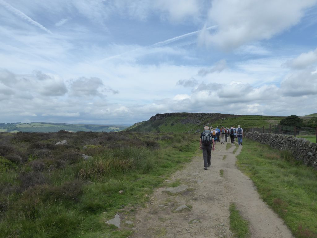
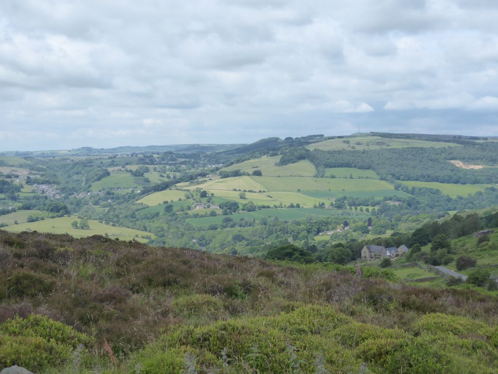
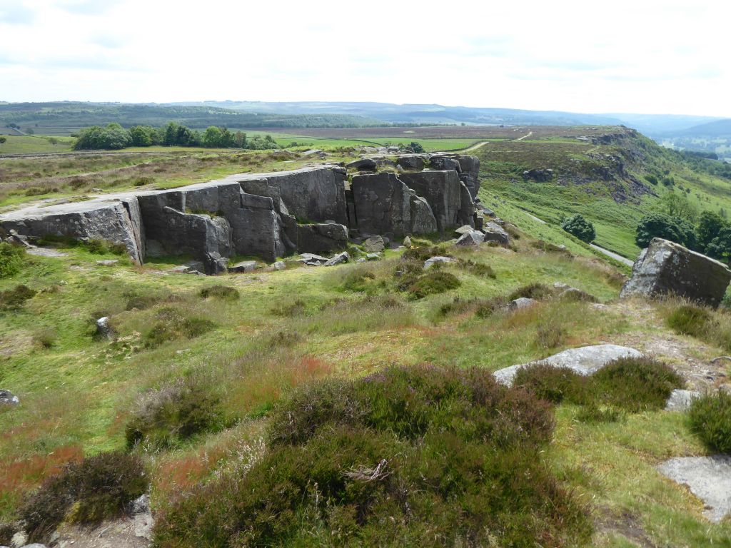
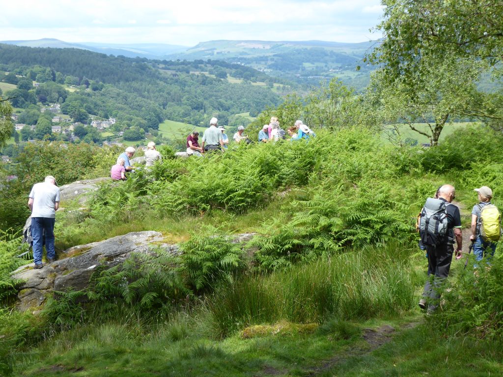
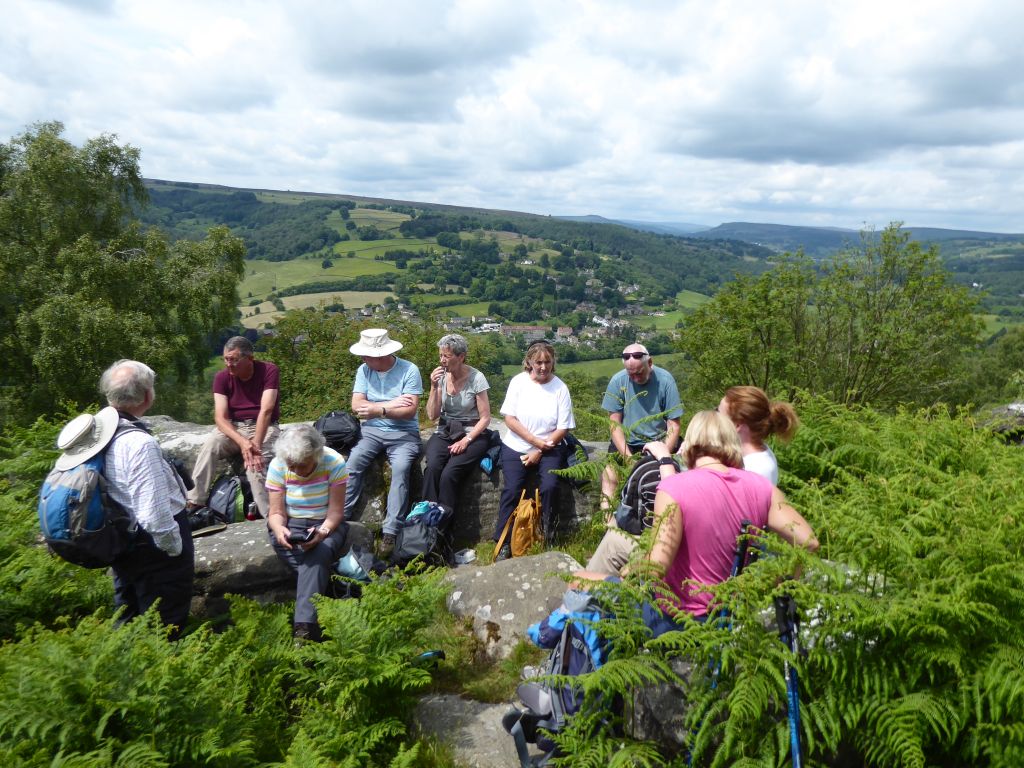
Walking along a high path on a bright cloudy day looking down at well-known villages is a delightful way to spend time and the walkers enjoyed it. They were even more pleased when the leader called a lunch stop in a collection of rocks on Froggatt Edge looking down on the Derwent valley.
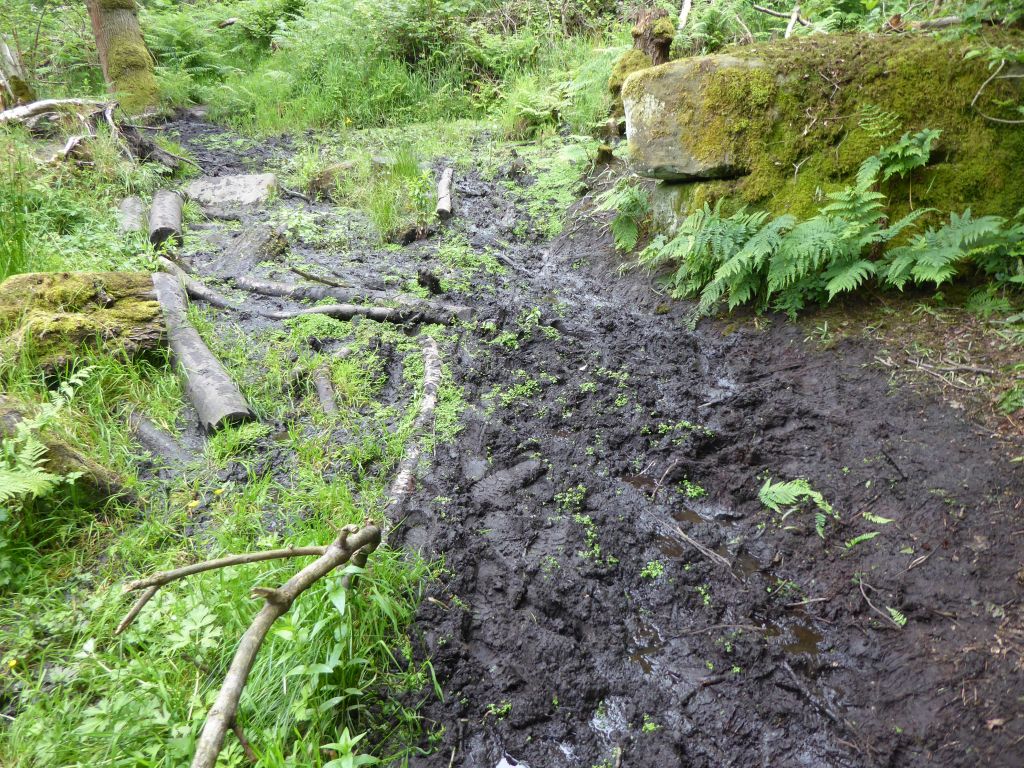
The return to Baslow followed paths along the Derwent and to get down to the river, the group had to take the path through Hay Wood. The leader warned that there may be mud and for most of the time the group happily accepted the minor inconvenience. Then the walkers reached an area of deep mud with logs to balance on and this mud was serious. Nevertheless, with outstretched hands and walking poles everybody made the other side without falling in the mud.
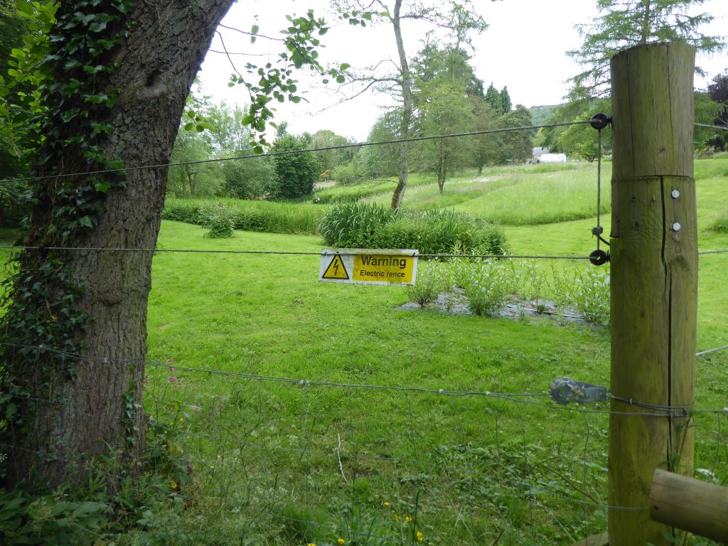
After leaving the trees, the walkers passed through the village of Froggatt to the side of the Derwent. The path passed the bottom of the gardens of some large properties and many of them had an electric fence on top of barbed wire. Given that the gardens showed no sign of large pets, the conclusion was that the fence was erected to keep out users of the path. Obviously not the well-behaved walkers from Sandbach u3a long walking group.
After crossing to the other side of the Derwent for some variety, the group reached Baslow and eventually realised how far the car park is from the edge of the village. The drivers agreed that the best way back to Sandbach avoiding road closures was via Macclesfield and so they set off.