
1 Oct 25 Ironbridge Leaders: Peter S, Length of walk: 9 miles, Driving Distance: 50 miles, Number walking: 17
Start from Legges Way car park, Madeley
The nearest postcode is TF7 5BT
or What3Words https://what3words.com/enormous.subway.keener
Click here to see the route
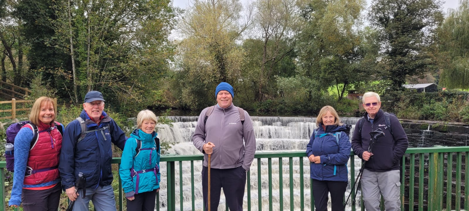
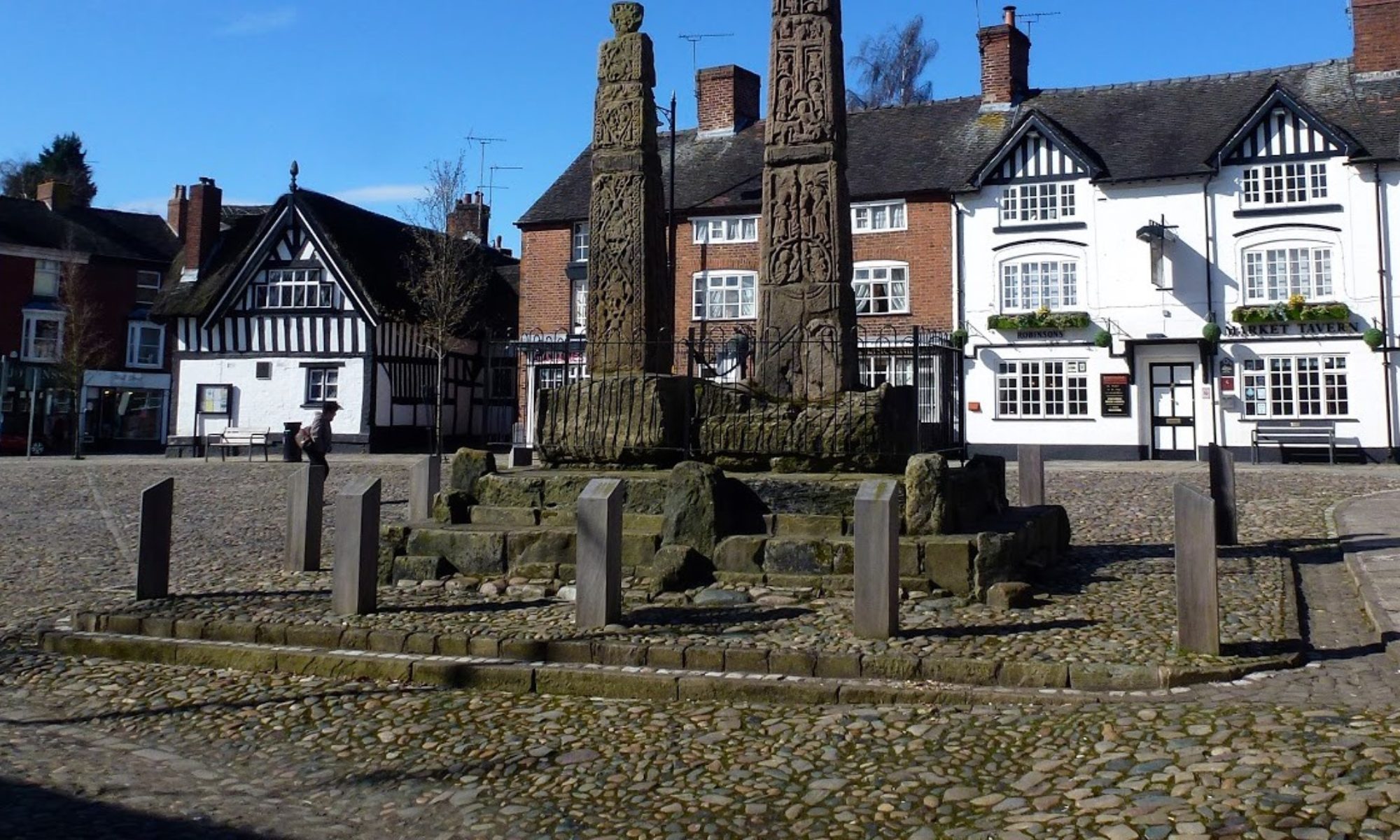
This was an unusual urban walk that explored part of the new town of Telford using a network of paths created out of disused railway tracks and canal beds. There were no stiles or gates, no long grass or wet bracken to slow down progress. There were also no punishing hills. There were lots of trees.
The weather was wet at first but turned to cloud and sunshine for most of the day.
The walk set off along the Silkin Way, named after Lewis Silkin, the Minister responsible for the Attlee government’s New Towns Act 1946 and Access to the Countryside Act 1949. He wasn’t responsible for creating Telford New Town; that was created by a Conservative government of the 1960s as Dawley New Town but given the catchier title of Telford to honour Scottish-born Thomas Telford, who was appointed Surveyor of Public Works for Shropshire in 1787.
The route passed the entrance to, but didn’t visit, Blists Hill Victorian Town. The walkers did get a chance to see the Hay inclined plane, which was built to carry goods from a canal on high to another canal by the River Severn. It looks like a very steep railway track.
The route also passed, but didn’t visit, the Tar Tunnel. This was discovered in 1787 by miners who hoped to bring coal out near the river level but struck a natural spring of bitumen instead. Bitumen’s chief commercial use at the time was to treat and weatherproof ropes and caulk wooden ships, but some was bottled as ‘Betton’s British Oil’, a remedy for rheumatism and scurvy. Other treatments are now available.
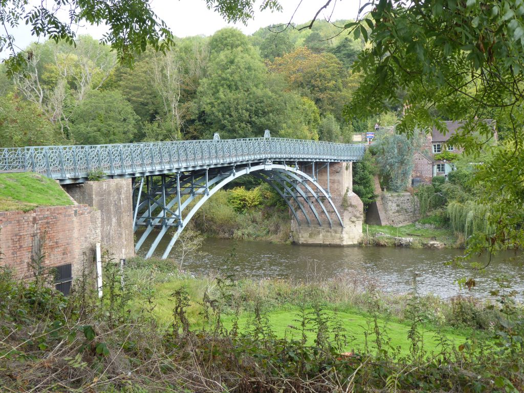
When the group reached the River Severn, they crossed it on the Coalport bridge and followed the riverside path to Ironbridge after the leader had distributed apple cake to the delight of the walkers. The walkers were able to read several plaques relating to the tribulations affecting the village of Jackfield. This was built as a port for the mines and potteries nearby. Unfortunately, it was built on an unstable part of Ironbridge Gorge and in 1952 a landslip occurred which destroyed 27 cottages and narrowed the river by 15 yards.
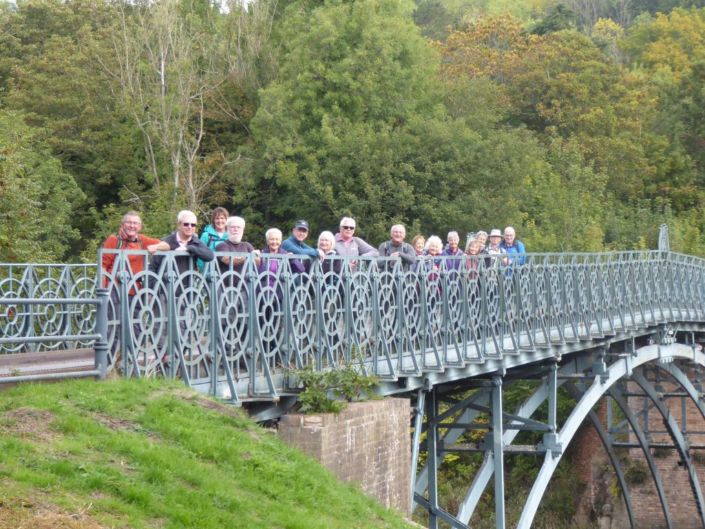
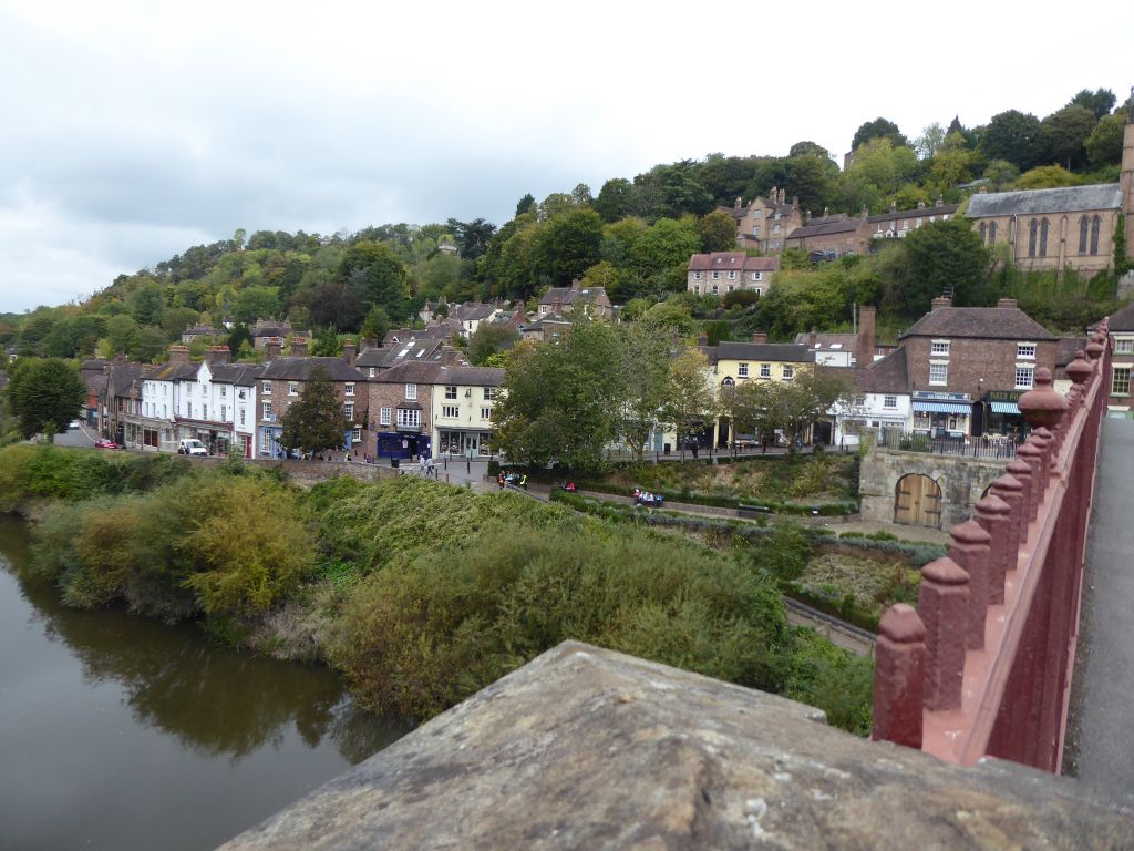
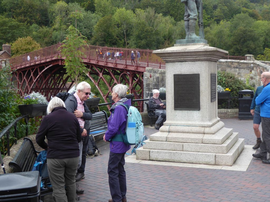
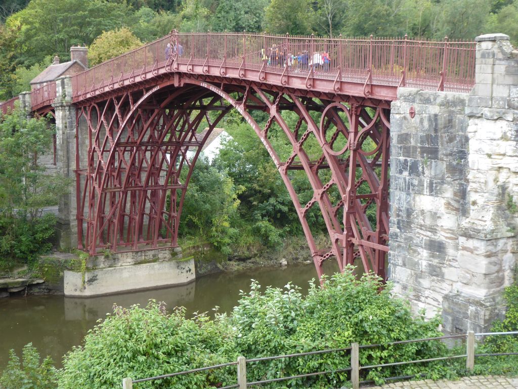
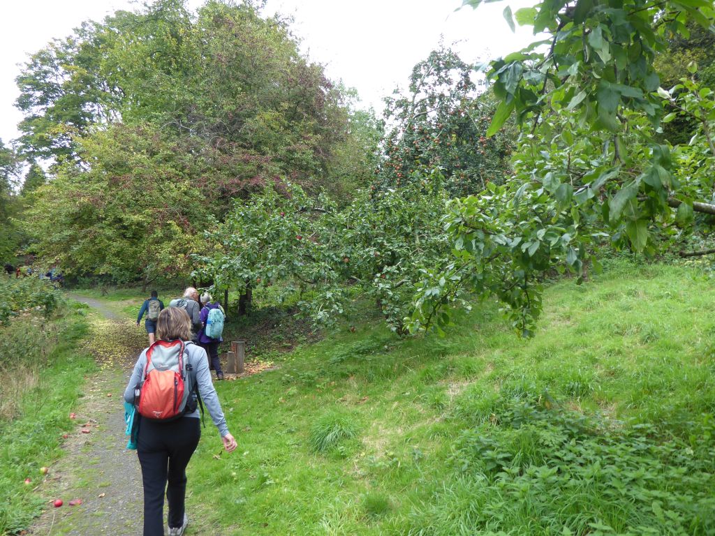
The group arrived at Ironbridge for lunch after crossing the structure which gave the village its name. The pie shop and the toilet had good footfall before the walkers set off to Coalbrookdale. This contains a community orchard through which the route diverted so that the walkers could try scrumping some unusual varieties of apple not sold in Waitrose.
On the last leg of the walk the route passed Madeley Court. This is now a hotel, but was the home of Abraham Darby 1st, a pioneer of the industrial revolution. Nearby stands a ruined windmill, missing roof, sails and flooring. It is not even on a high point, but that is because the local miners piled up their spoil around it after it was abandoned during the 19th century.


15 Oct 25 Etherow and Goyt Valleys Leaders: Rob and Liz, Length of walk: 10.5 miles, Driving Distance: 35 miles, Number walking: 7
Start from Etherow Country Park (SK6 5JD)
Click here to see the route
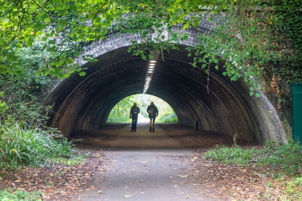
No scribe accompanied this walk and the leader didn’t even appear on the picture