
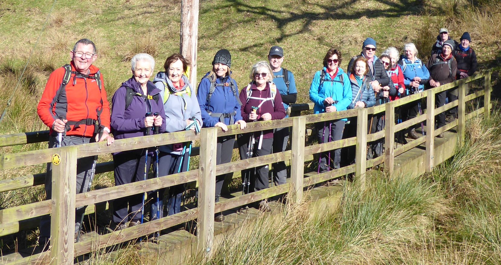
4 Mar 2026 Bosley Reservoir and Croker Hill Leaders: Debbie & Nick, Length of walk: 8 miles, Driving distance: 16 miles, Number walking: 16
Click here for a map of the route.
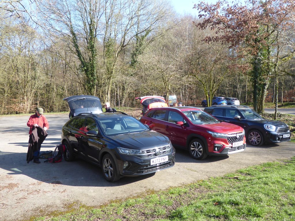
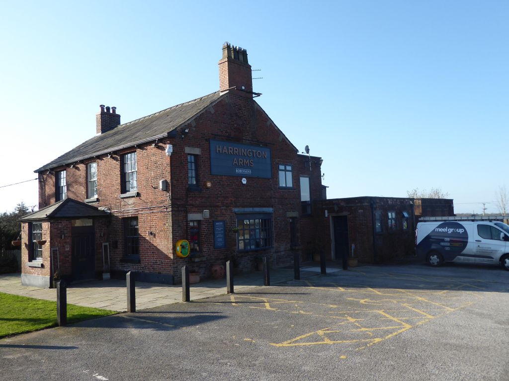
The starting point is the Harrington Arms car park on the A523 Macclesfield to Leek Road about 1/2 mile south of Bosley traffic lights. The postcode is SK11 0PH
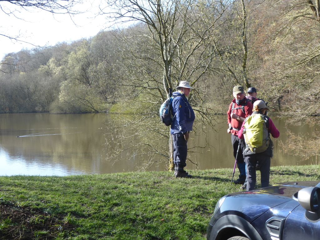
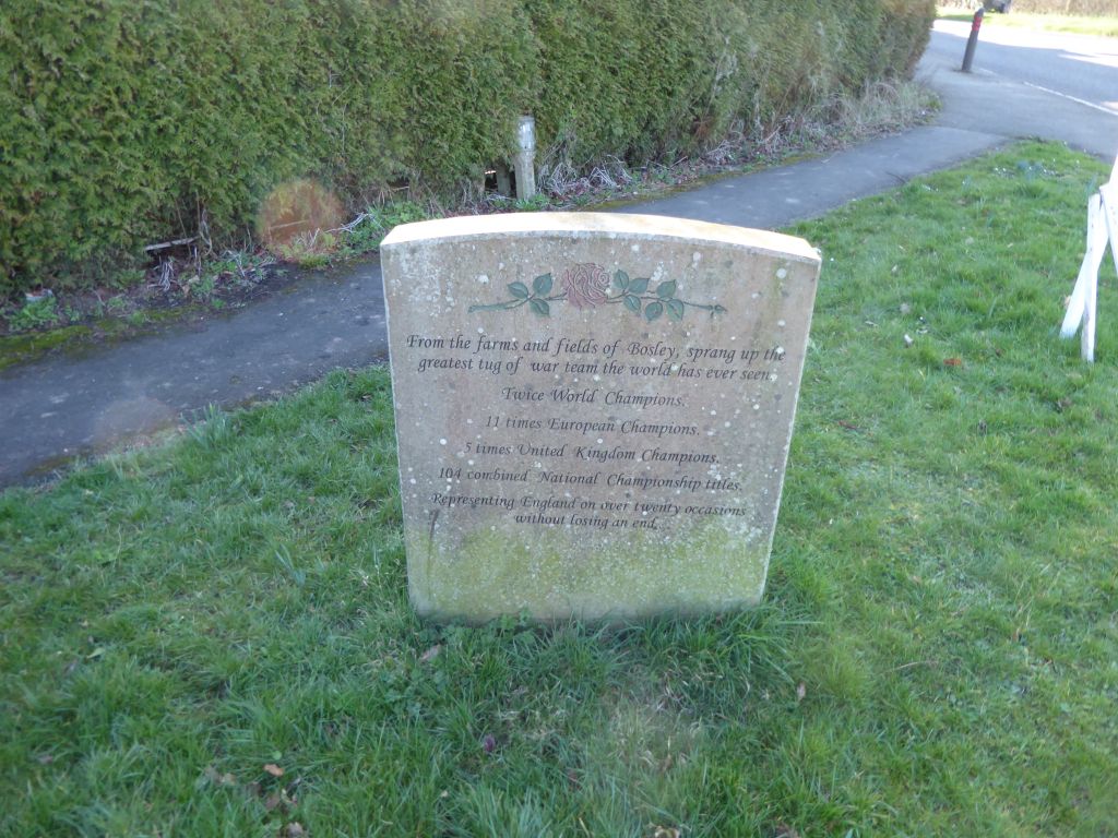
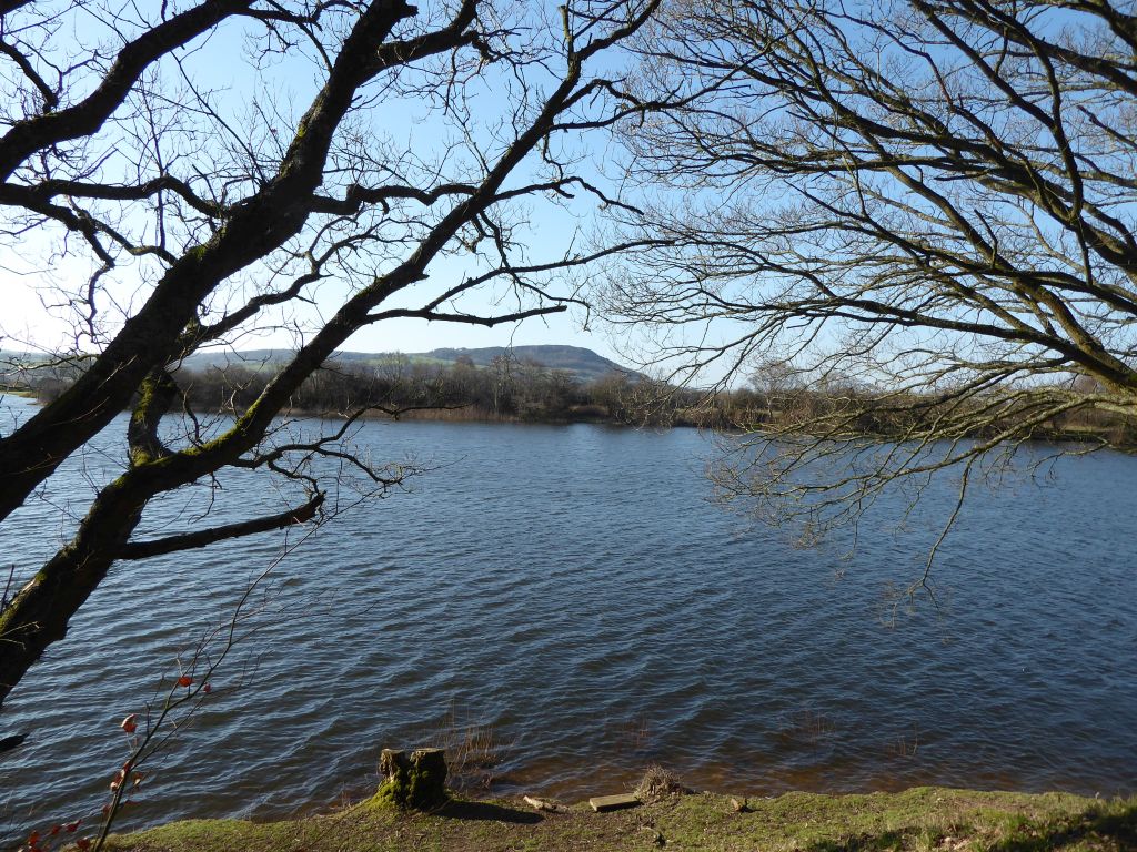
The day was surprisingly warm for early March and the sky was clear throughout the day. The route explored the muddy paths surrounding Bosley Reservoir after crossing the dam. The water was streaming over the outflow because the winter rain had topped up the reservoir. Quite how the water manages to reach the reservoir through the weedy and silted-up channels is a total mystery. No doubt there would have been an army of lowly-paid day labourers to keep it clear when it was built in 1834.
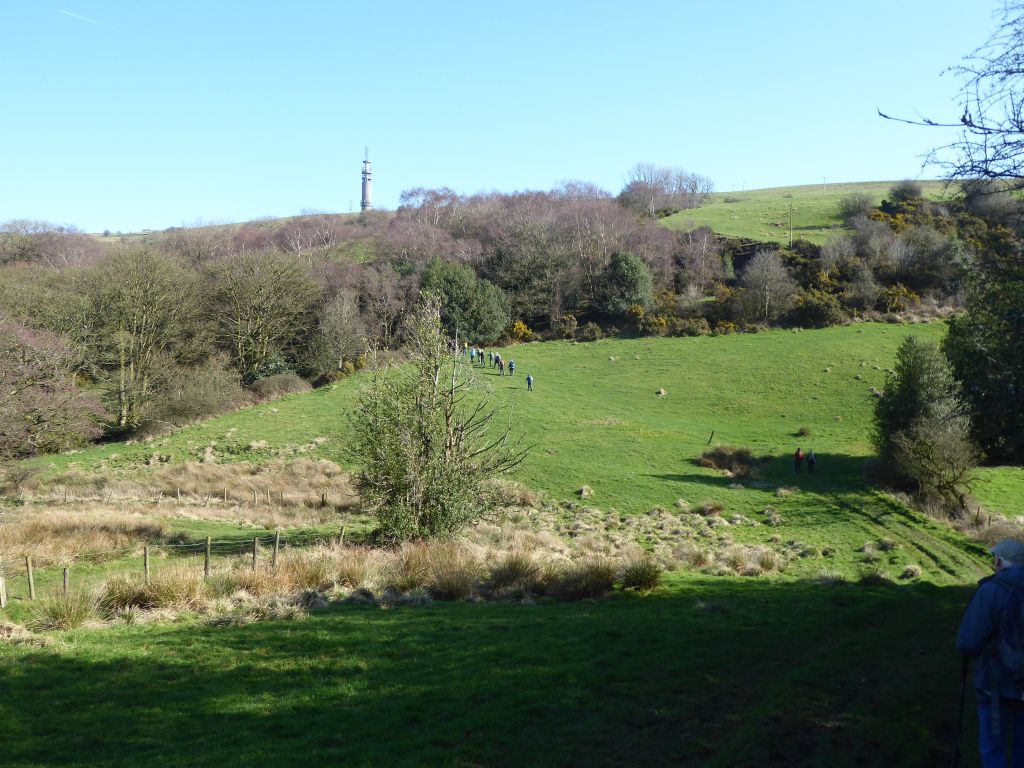
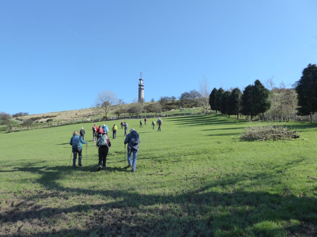
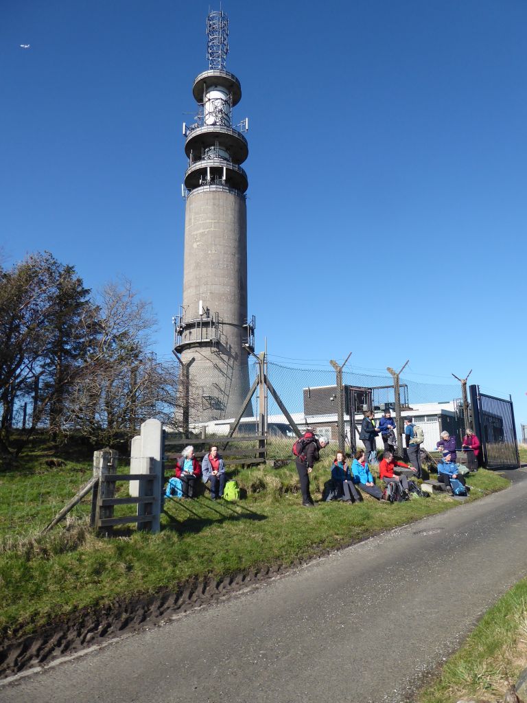
Before walking along the busy Buxton road, the walkers refreshed themselves with coffee and stuff. After they crossed the road for the steep climb towards Croker Hill they needed plenty of energy from stuff to keep going. The climb was made easier because, for most of the time, the telecoms tower atop the hill was visible and happily getting larger.
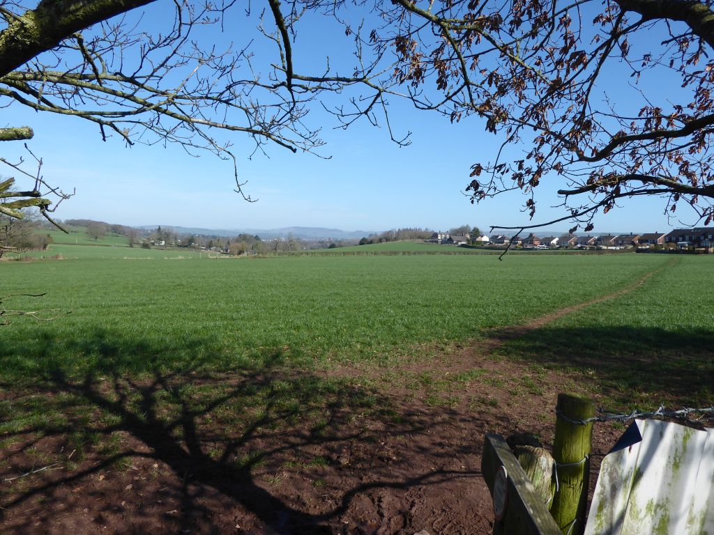
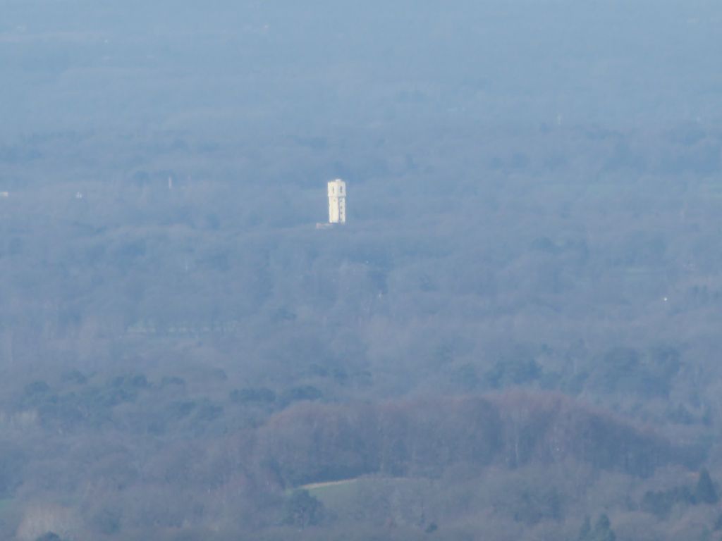
During the frequent stops to admire the view over the Cheshire Plain two large white buildings were spotted. One was in a line that travelled from the telecoms tower through Jodrell Bank radio telescope, which probably means that it was one of the large greenhouses near the church in Lower Peover. The other is a tall cylindrical structure like a water tower and may be in the Chelford area. A prize will be given for identifying this structure.
As well as the top of the hill, the tower also represented lunch, so it was doubly welcome when the walkers reached it.
After lunch the walkers followed the Gritstone Trail until they left it at the southern end of the hill with two names. The western side, facing Bosley, is known as Bosley Minn while the eastern side which faces the village of Wincle, is referred to as Wincle Minn. You would think they could get together to agree on one name.
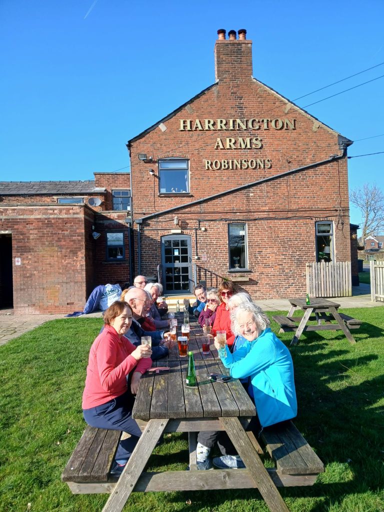
While leaving the Gritstone Trail meant goodbye to the big hills, the remaining route included a few more uphill sections to reach the dam of Bosley Reservoir. Then it was back to the Harrington Arms for a drink in the beer garden and a chance to gossip about absent walkers.


18 Mar 2026 Deep Hayes Country Park Leaders: Clive & Helen, Length of walk: 10.5 miles, Driving distance: 23 miles, Number walking: 16
Click here for a map of the route.
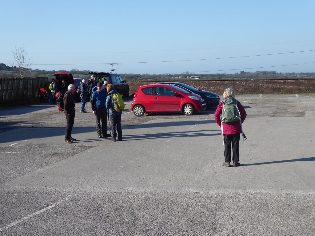
On a warm and sunny day most of the walkers set off from the car park to the Caldon Canal, but Keith had suffered navigation problems and was still struggling through the Staffordshire countryside. He said he would catch up with the group and when they paused at Cheddleton Flint Mill (now a museum) the walkers saw a familiar figure RUNNING along the towpath. He soon stopped that nonsense when he saw the group waiting for him and everyone then climbed out of the Churnet Valley to do the next leg cross country. They stopped for coffee and enjoyed the delicious Welsh cakes and chocolate brownies from the leaders.
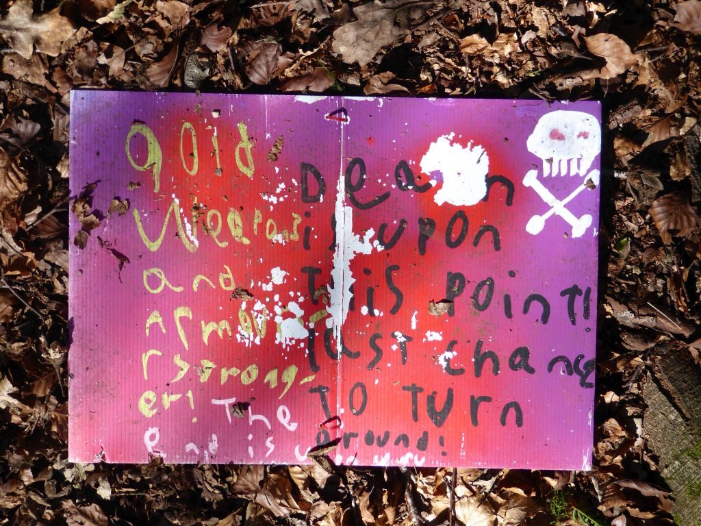
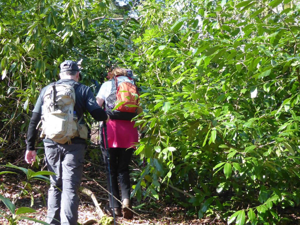
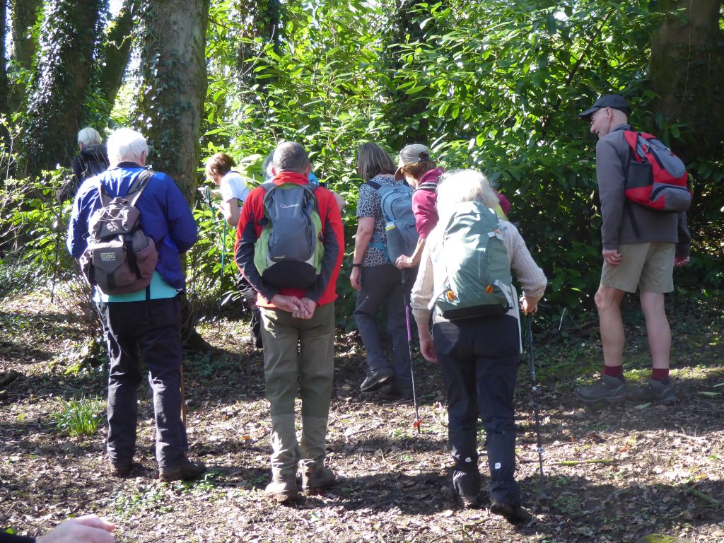
The next feature on the route was the Cicely Haughton School for special needs pupils which provided a jungle of thick shrubbery over the path. The walkers gamely forced their way through it ignoring the warning sign found along the way.
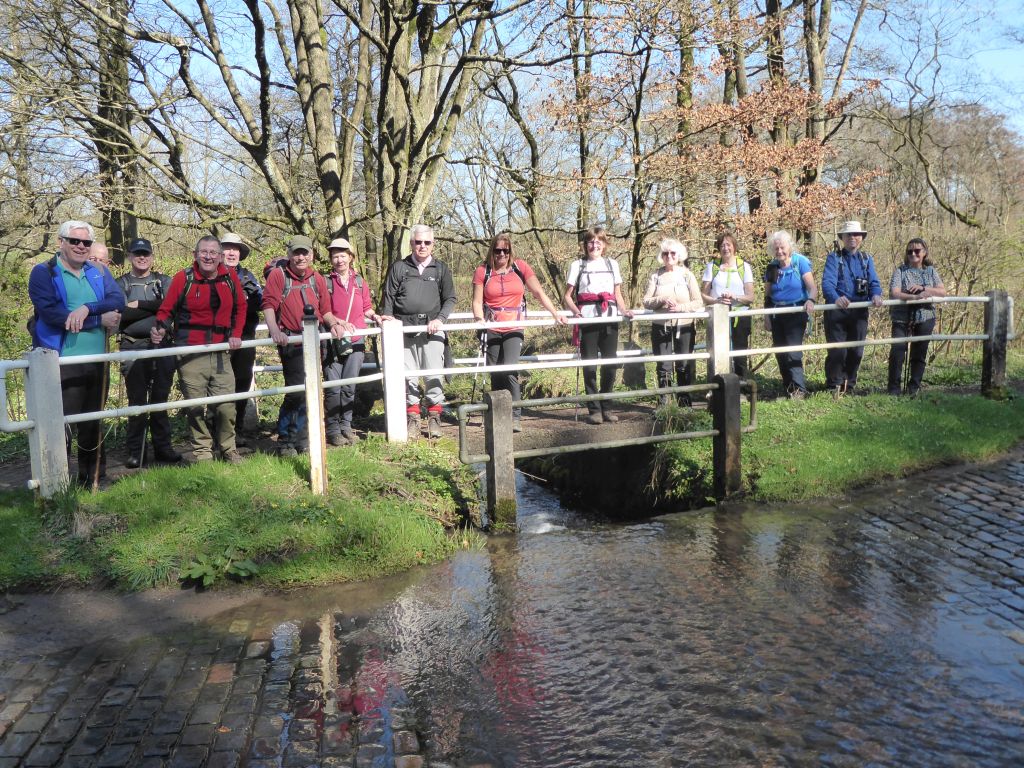
Lunch was scheduled in the village of Bagnall and before climbing to it, the group had to cross a stream using either a footbridge or the ford used by vehicles. With most of the group lined up on the footbridge, the photographer prepared to record them for posterity. Unfortunately, a van driver chose to cross the ford at speed as the photographer was waiting in the water. He received a full-body splash and it was fortunate that a) the stream contained clean water and b) the warm sunshine dried him off during the lunch stop.
From Bagnall the group walked down to Stanley Pool which they crossed on a causeway before passing the noisy outdoor education centre at Stanley Head. The village of Stanley was next and is remarkable for the number of large houses it contains.
After a few more fields and some road walking the group spent an entertaining time near Hollinhurst Farm climbing several stiles which involved electrified fences on both sides of a hedge. Everyone made it through without suffering electric shocks or falling over.
At the bottom of the valley lay the final leg of the walk along the towpath of the Caldon canal after crossing the Leek branch of the same canal. The walkers steadfastly passed the Hollybush pub ignoring the invitation from the drinkers to join them. They then walked under the Hazelhurst aqueduct which takes one canal over the other and took the disappointingly long route from the canal to the car park.