
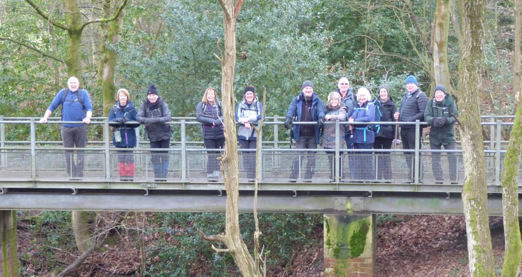
4 Feb 2026 Middlewood Way and Macclesfield Canal Leader: Paul, Length of walk: 12.5 miles, Driving distance: 26 miles, Number walking: 13
Click here for a map showing most of the route. (The actual route went past two more bridges over the Middlewood Way to the Adlington road.)
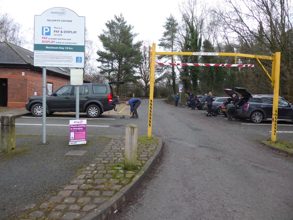
Before setting for the planned walk in the Goyt valley starting at Fernilee reservoir, Lesley suggested that they avoid the planned area because she had seen fog on the webcams near the Cat & Fiddle. Her suggested alternative was a partly reccied walk in Shugborough, but Paul suggested that the walk he was planning in two weeks’ time would be a better choice. And so it was that the group set off for Nelson Pit Visitor Centre to follow a figure of eight along the Middlewood Way and the Macclesfield canal.
The leader led over this route in February 2025 and to provide some variety led the way north up the Middlewood Way then down along the towpath of the Macclesfield canal. This involves crossing Marple golf course and several walkers wondered aloud about the large brick building that loomed over the trees bordering the canal. This is Goyt Mill – a cotton mill in Hawk Green Marple that has been repurposed as a business centre.
The day started overcast but as the group walked south by the canal, the sun emerged and shone into their eyes all the way back.
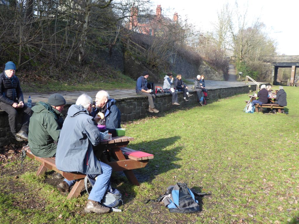
Lunch was in the sunny picnic area near Nelson Pit Visitor Centre and then the group set off south along the Middlewood Way. Some walkers wondered how the leader would, while walking the route in reverse, recognize the correct point to leave the old railway and join the canal. It wasn’t obvious and he eventually chose a point which added enough mileage to the route to give everyone the joy of completing a walk of 12.5 miles. The walk last February was listed as a mere 10.5 miles. Any further and the group would have been visiting Bollington. Fortunately, the added section contained no hills, stiles or deep mud.
Given that Nelson Pit has a pub next door, the drinkers in the party went there to discuss how much they had enjoyed the extra distance.
18 Feb 2026 Fernilee & Errwood Rservoirs Leader: Lesley, Length of walk: 10.5 miles, Driving distance: 32 miles, Number walking: 13
Click here for a map showing the route.
The post code for the car park is SK23 7HB.
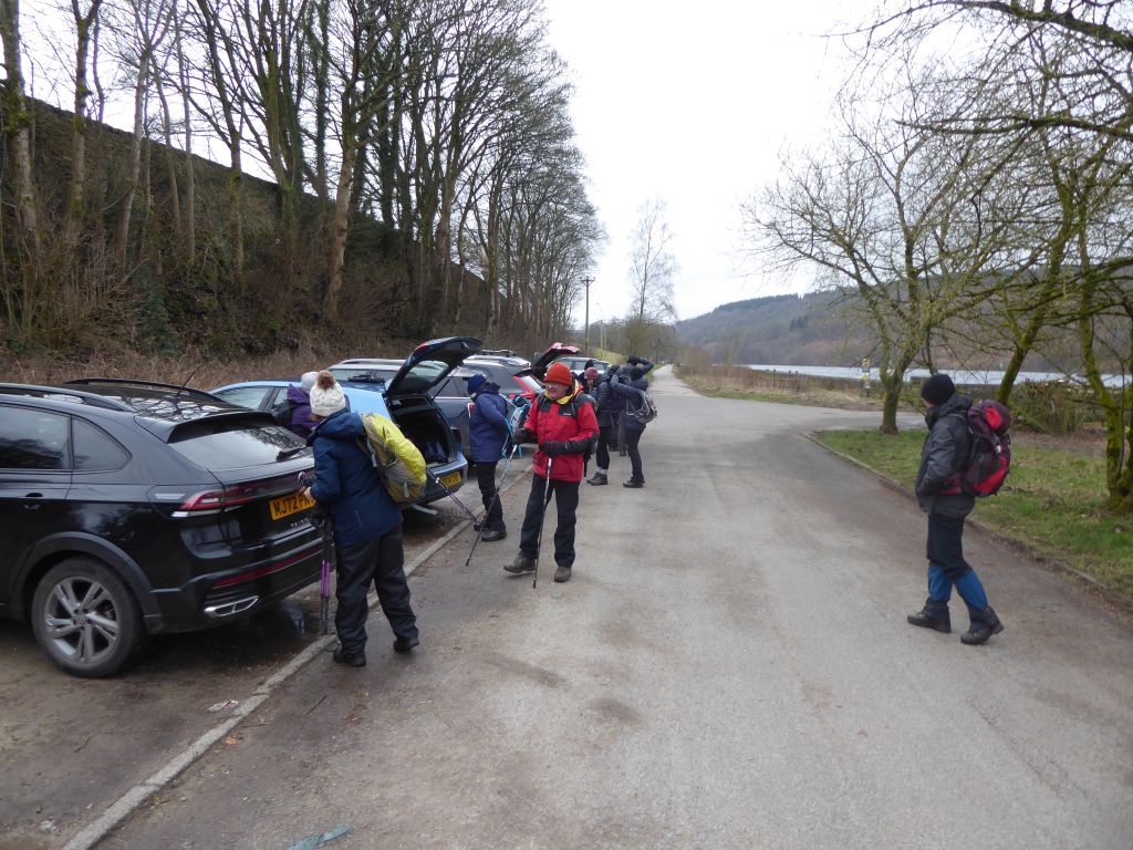
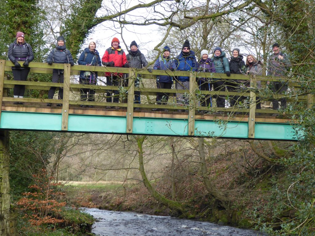
The weather was cold and the wind found its way through inadequate headgear to keep the comfort level low. It was at least dry during the walk. The route went north into the valley to follow the River Goyt through woods and fields to the bridge below Taxal church. The group crossed the bridge and climbed the steep path beside the surprising extensive graveyard (on both sides). This resulted in a long coffee stop while the walkers recovered. They then set off south on the west bank of the Goyt climbing hills from time to time along the way after crossing a particularly wet field.
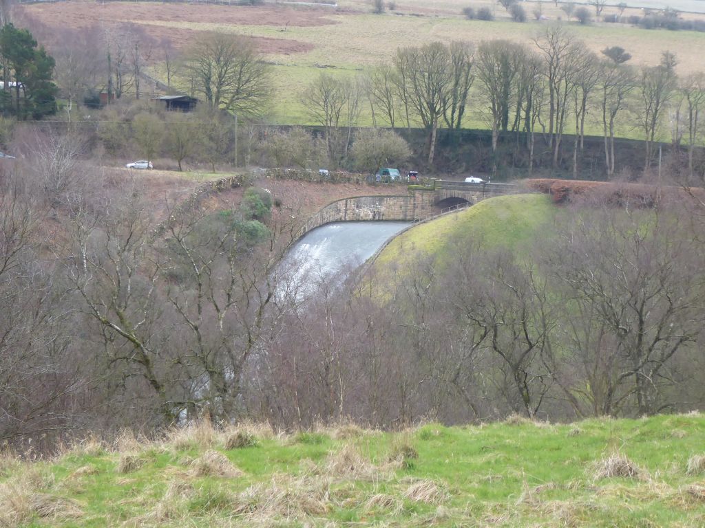
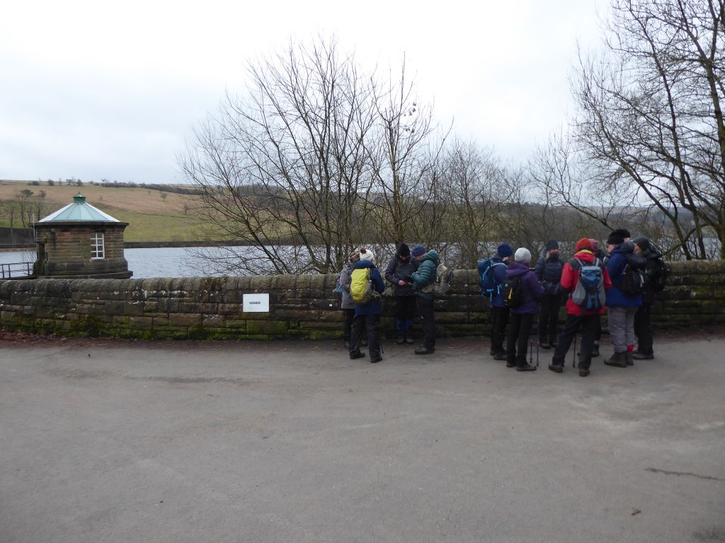
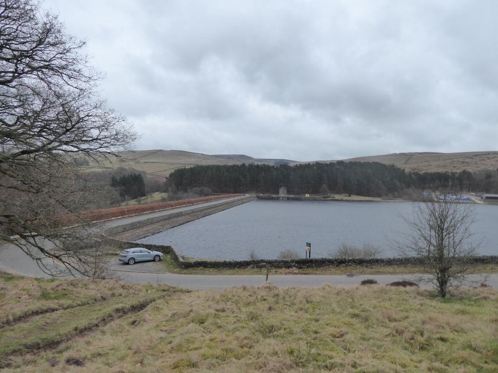
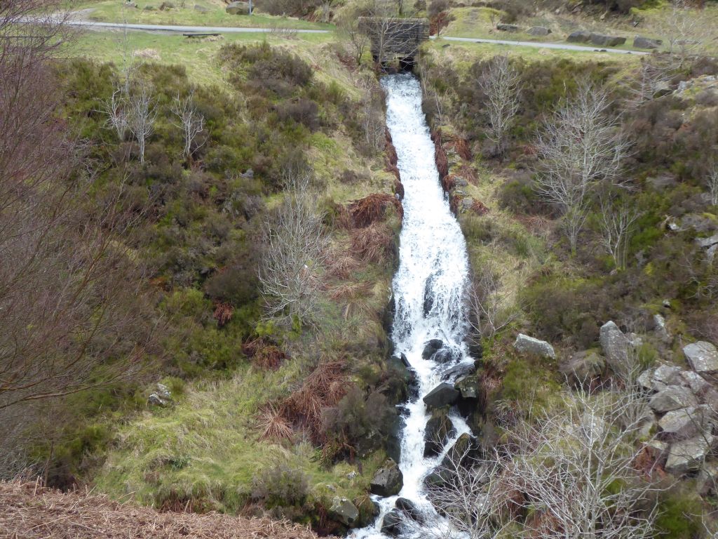
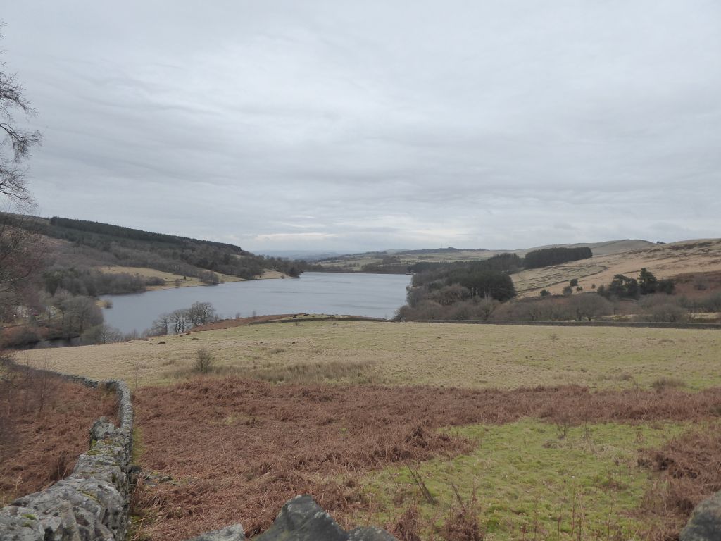
The route came down to the level of the dam holding back the Fernilee reservoir completed in 1938. It provides drinking water for Stockport and was such a success that Stockport Water Board built the Errwood dam upstream in 1967 to catch even more water. Both reservoirs were pleasingly full with gushing overspills. After trekking through the Goyt forest to the dam holding back the Errwood reservoir, two walkers returned to the car park while the rest carried on for the full circuit of both reservoirs.
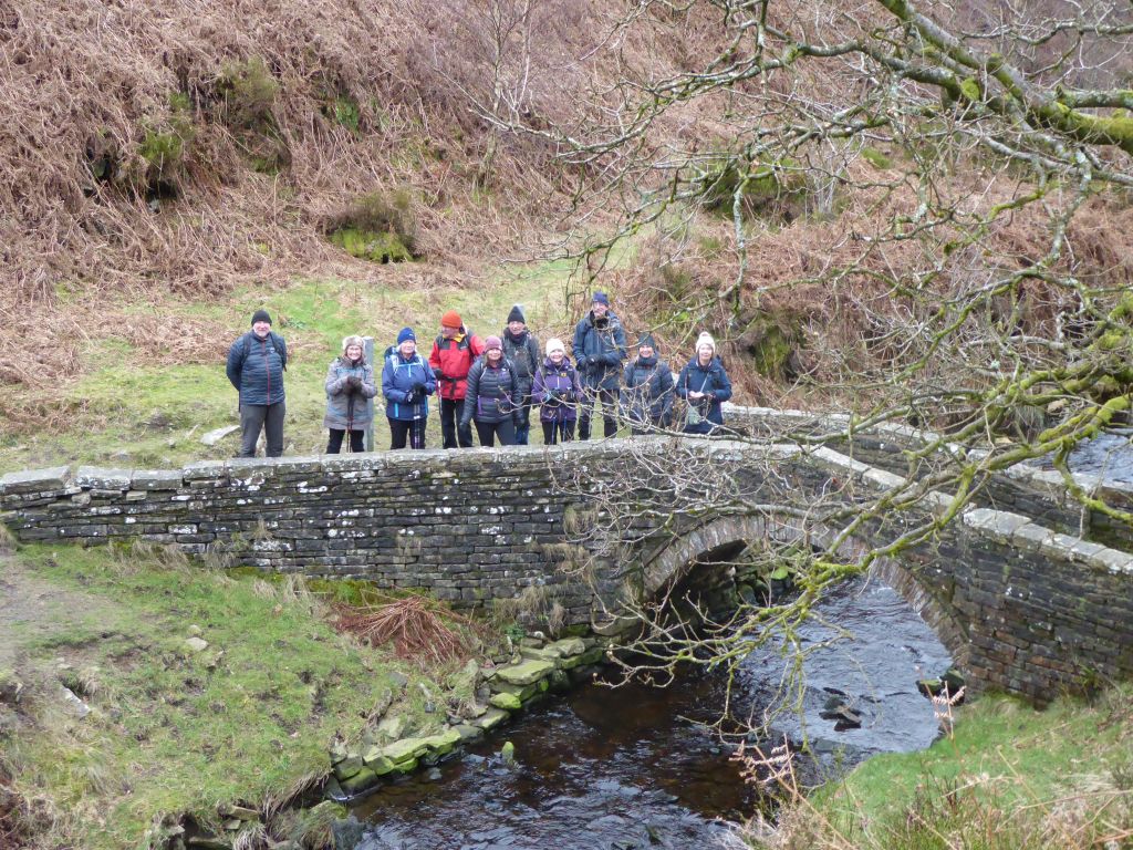
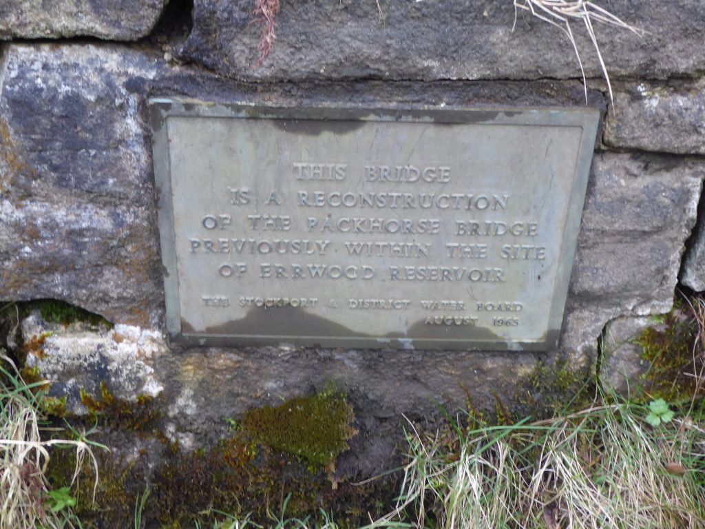
The walkers had lunch on a hillside where some benches overlooked the waterside road and set off south along the road that leads to Derbyshire Bridge with its famous car park and permanently closed toilets. They left this road to cross the River Goyt over the packhorse bridge that was rebuilt there after the Errwood reservoir covered its previous location over the Goyt.
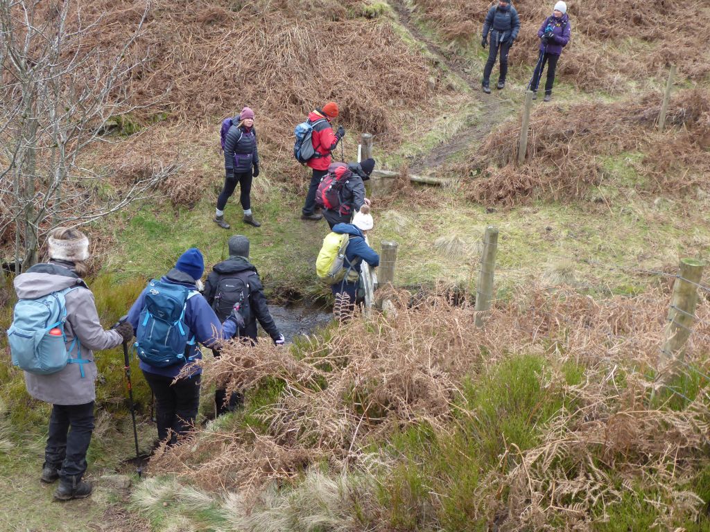
Around this stage of the walk, the leader made the outrageous claim that it was all downhill from there and then led the walkers up to a boggy wilderness. At one point the path had eroded so that some walkers had to be manhandled across the problem area. The next hazard included as an exciting option was the short cut over a stream using a fence as the crossing point. Fortunately, the fence was of a sturdy construction, and everyone crossed safely. There was a greater threat from the walking poles hurled across than dropping into the fast-flowing stream. No casualties were sustained.
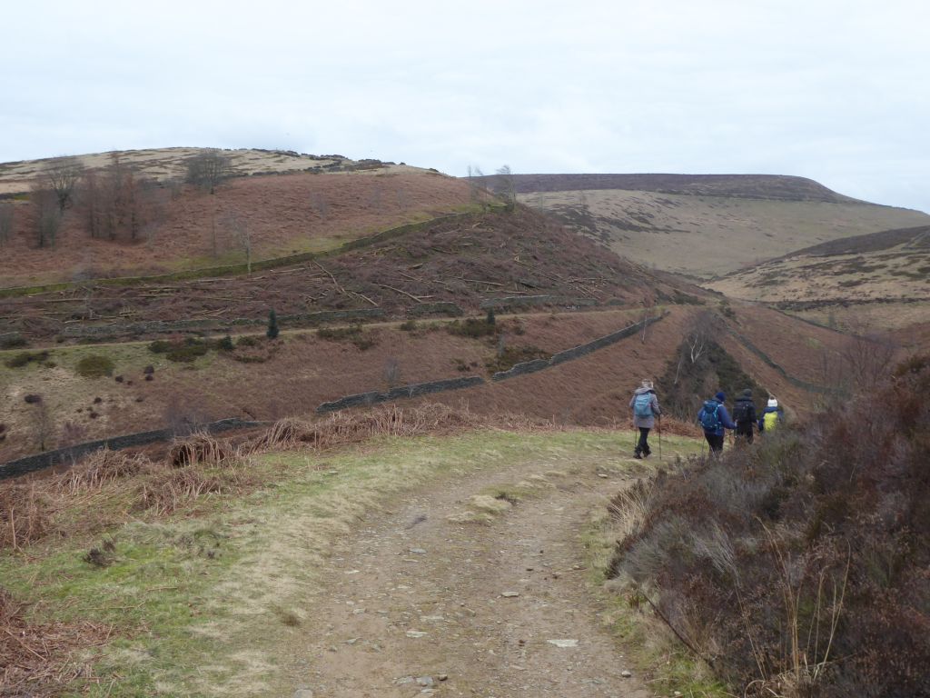
The final leg of the walk went down a steep tarmac road to the base of the Errwood dam and then along a track by the side of the Fernilee reservoir. Both the road and the track had formed part of the route of the Cromford and High Peak railway. This was planned before locomotives had been introduced and traffic up the steep incline from the Goyt valley was pulled by a stationary engine at the top, while horses pulled the wagons on the level sections. The Goyt valley section of the route was abandoned in 1892
Beside the Fernilee reservoir track a convenient stream flows down providing clean water for washing off most of the mud collected in the boggy section.