
5 Feb 25 Middlewood Way & Macclesfield Canal Leader: Paul, Length of walk: 10.5 miles, Driving Distance: 26 miles, Number walking: 13
Click here to see a map of the walk.
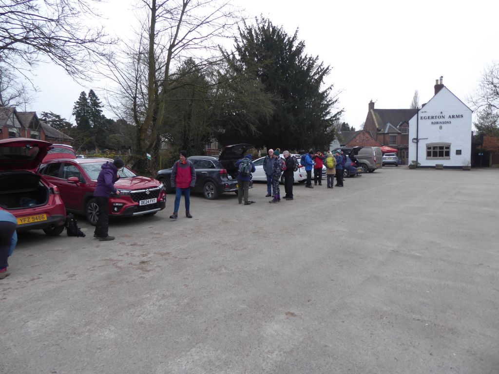
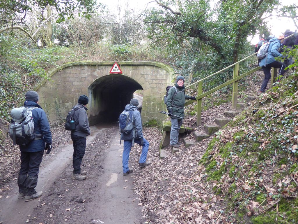
All the cars took different routes to reach Nelson Pit Visitor Centre, where they topped up Cheshire East Council’s car park receipts. The route was a figure of eight comprising the Middlewood Way and Macclesfield Canal with Nelson Pit as the intersecting point. The first loop went north along the canal, crossed the golf course at Marple and came south along the disused railway line of the Middlewood Way. Lunch was taken on the picnic tables on the disused trackway within the old Higher Poynton railway station next to Nelson Pit.
The views from the canal towpath and railway line were limited, but there was a good view of the tower blocks in Manchester city centre at one point. There were, however, no hills, no stiles and no deep mud. The toilets were available at the start and end of the walk and at lunchtime. Also, the sun came out from time to time and the rain and wind stayed away. The cake the leader had baked for distribution at the coffee stop was a big hit and he had nothing but crumbs to take home.

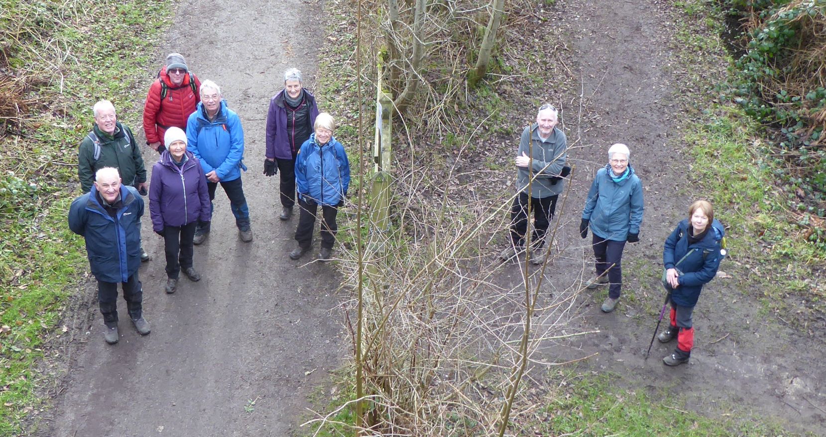
19 Feb 25 Astbury to Mow Cop Leader: Keith, Length of walk: 9.8 miles, Driving Distance: 8 miles, Number walking: 21
Click here to see a map of the walk.
The weather was dry apart from a couple of showers but very cold.
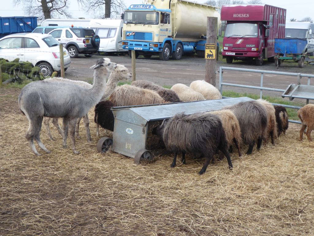
Pass Astbury church and follow the path round the back of Glebe farm taking in a small herd of sheep and llamas. The woman tending to the flock described the llamas as “grumpy”, but they didn’t spit at the walkers as they went by.
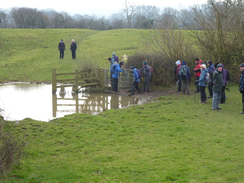
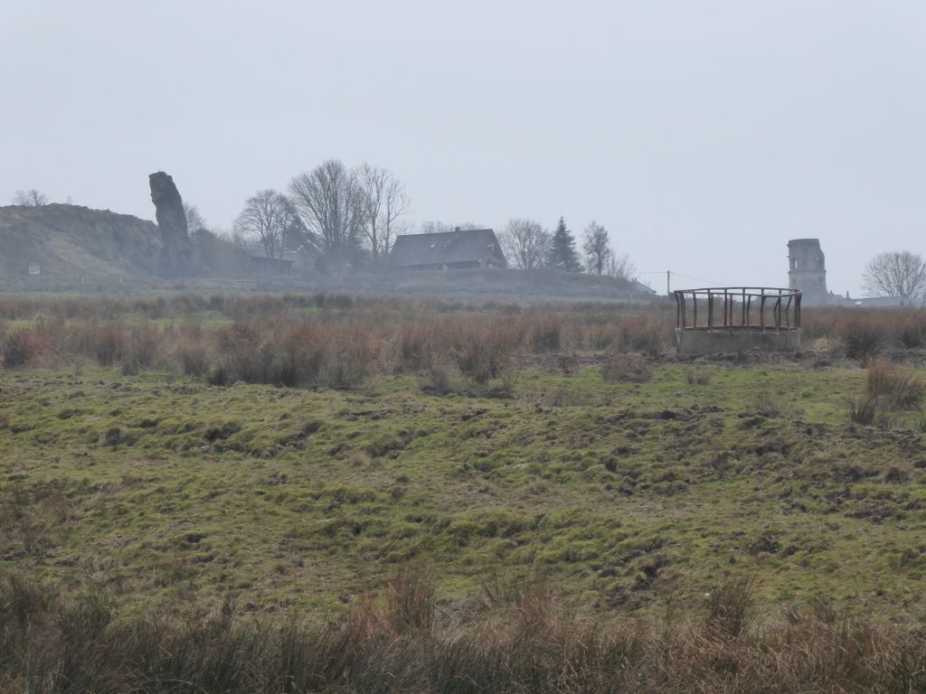
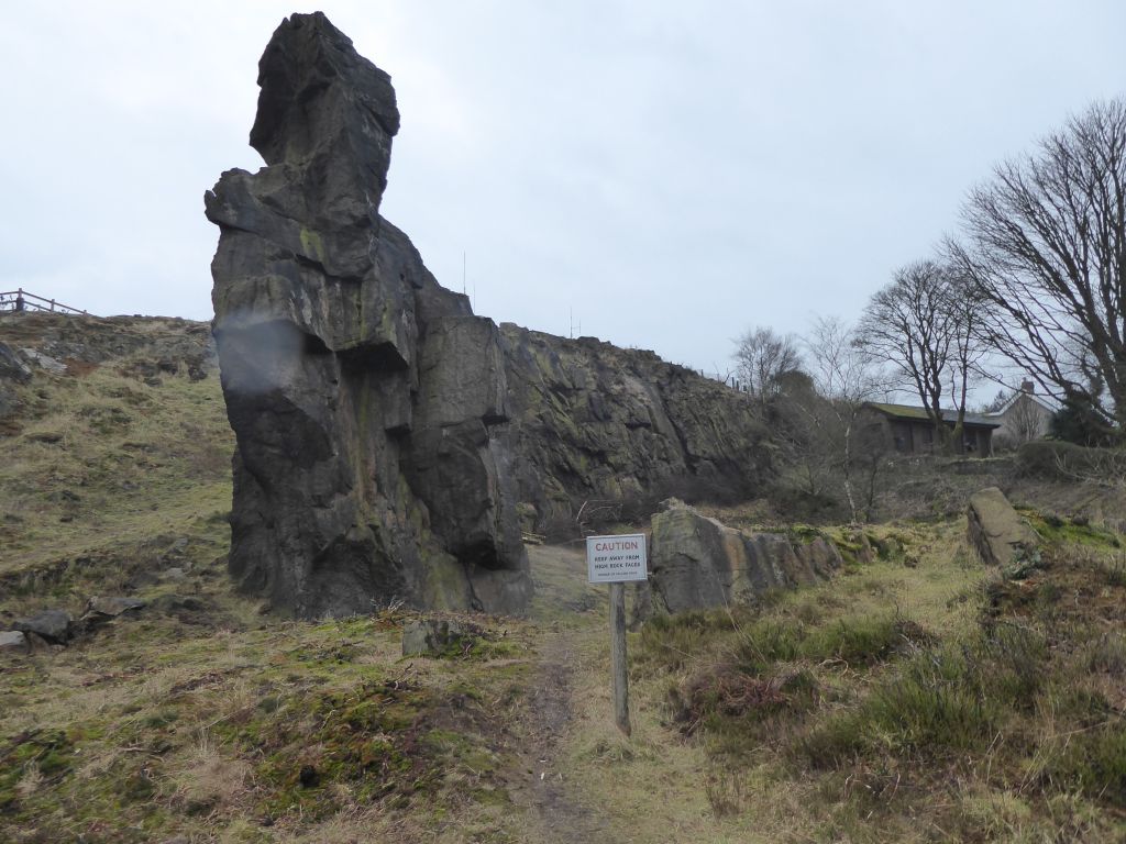
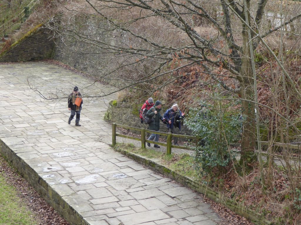
Across fields to the Macclesfield canal towpath as far as Ackers Crossing, where the group left the easy level of the towpath and started to climb up towards Mow Cop. There was a pause for a coffee stop in the shelter of the trees and then the group continued to the summit. They passed the Old Man of Mow, a 65 feet high section of the quarry that was left untouched as the rest of the hill was carved out. There is no definitive explanation of why the column was left, but there was an ancient cairn on the site before the quarrying and the quarrymen may have left it as a nod to the ancient cairn builders.
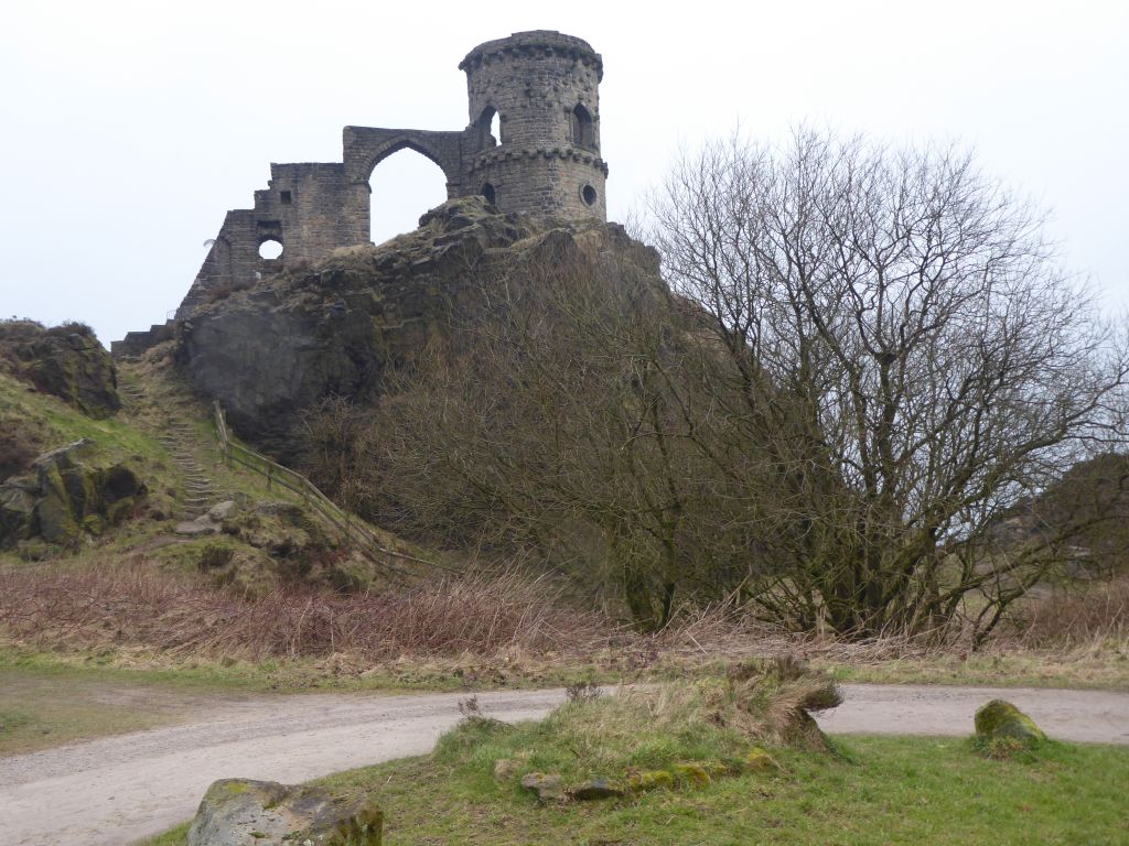
The group then passed the “castle” and set off downhill. When the walkers reached the level crossing near Ramsdell Hall, the gates were down as a train approached. After the gates were raised and the group was halfway across, the gates came down again for a second train. The later half of the group was desperate for the train driver to sound his / her horn in recognition and waved frantically to encourage the driver. This had no effect, but the gates stayed down for a third train and this driver was obliging and gave the wavers a warm feeling as they continued their walk.
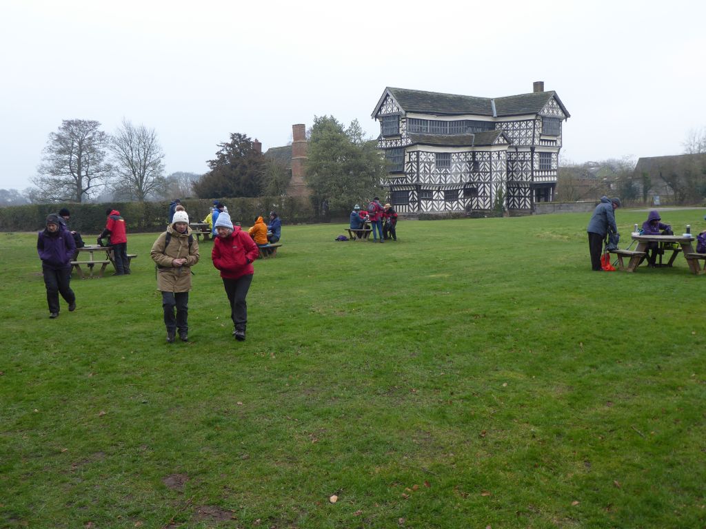
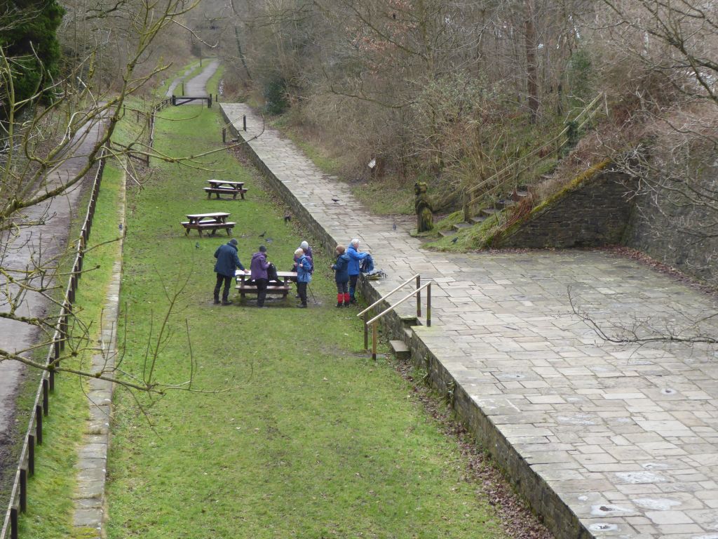
After crossing a few fields, the walkers took over the picnic tables at Little Moreton Hall for lunch. The problem wit eating lunch out of a rucksack is that gloves get in the way. This was a day when gloves were a very necessary protection against the cold and the gloves went back on as quickly as possible. The toilets on site came in handy before the walkers set off along the A34 to find a footpath away from all the traffic. This route took the group through Brownlow and past the Bent Farm sand quarry to Astbury where some of the walkers made for the warmth of the pub to recover.