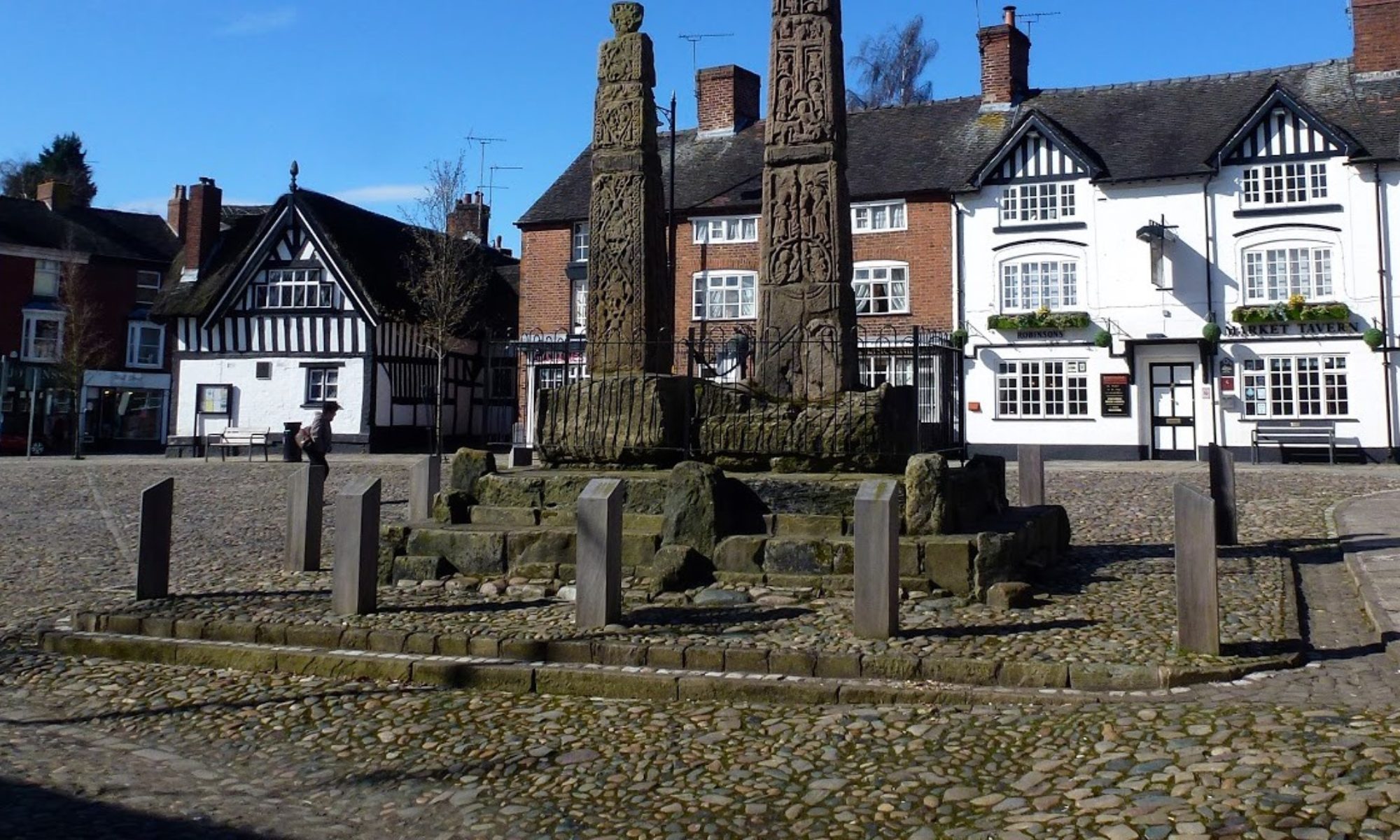

7 Aug 2024 Rudyard to Gun Leaders: Kevin, Length of walk: 10 miles, Driving Distance: 13 miles, Number walking: 14
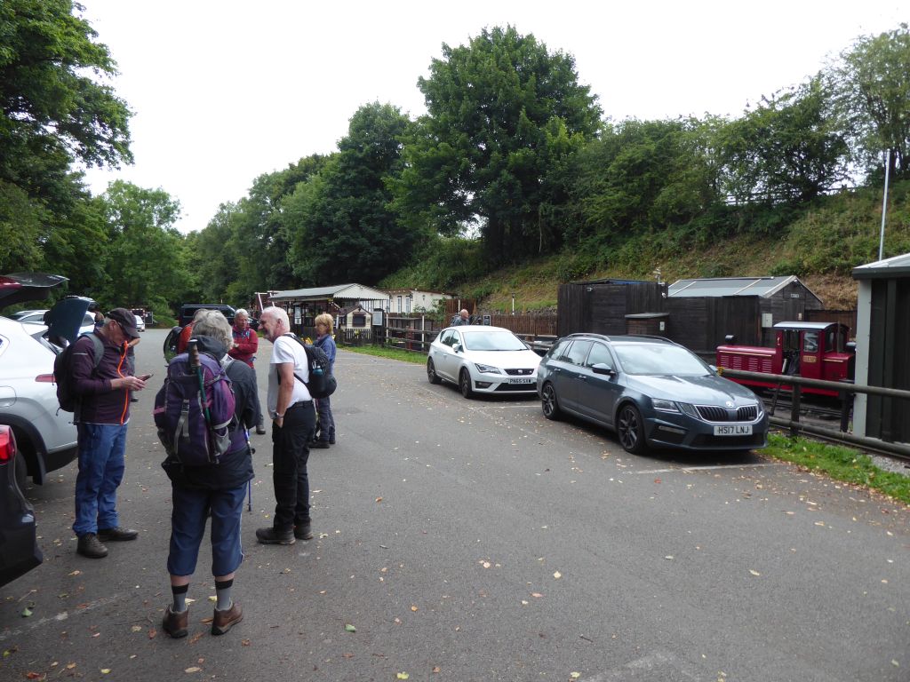
Parking is at the railway station near Rudyard Lake (ST13 8PF w3w bookshop.grass.describe)
Click here to see a map of the walk.
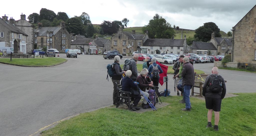
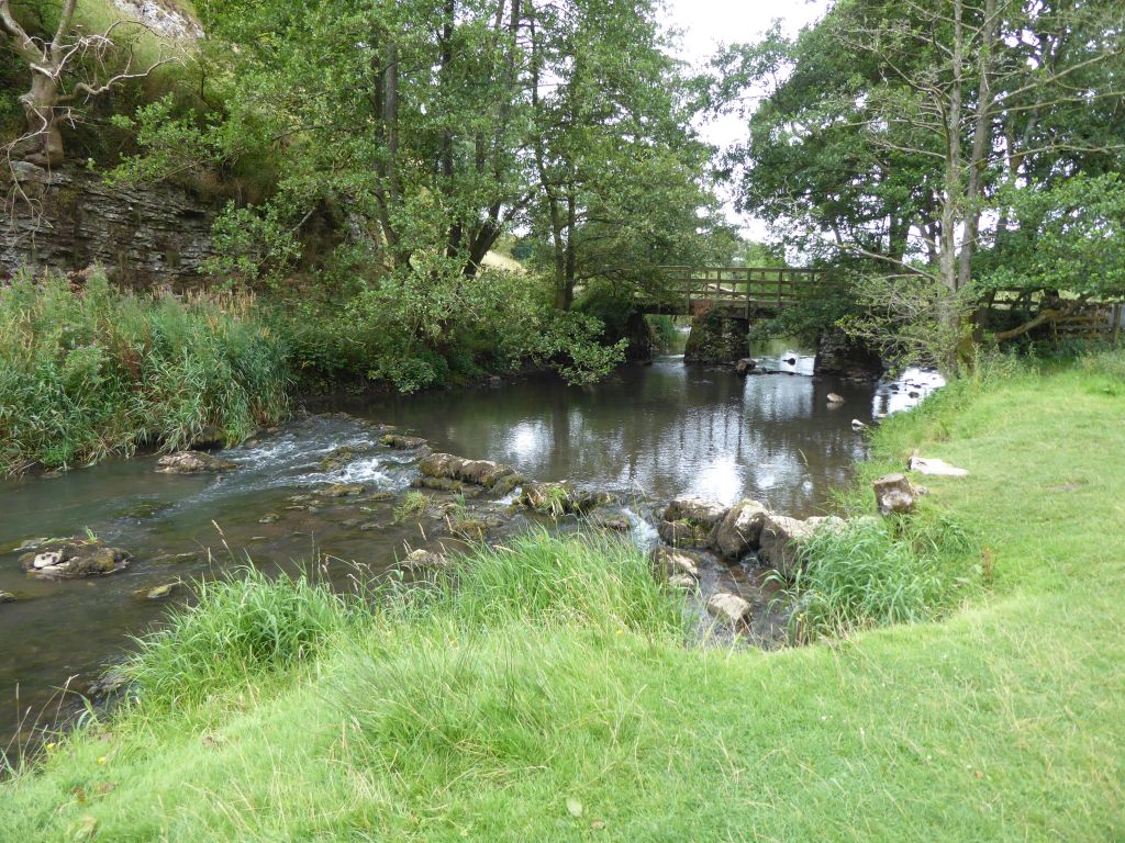
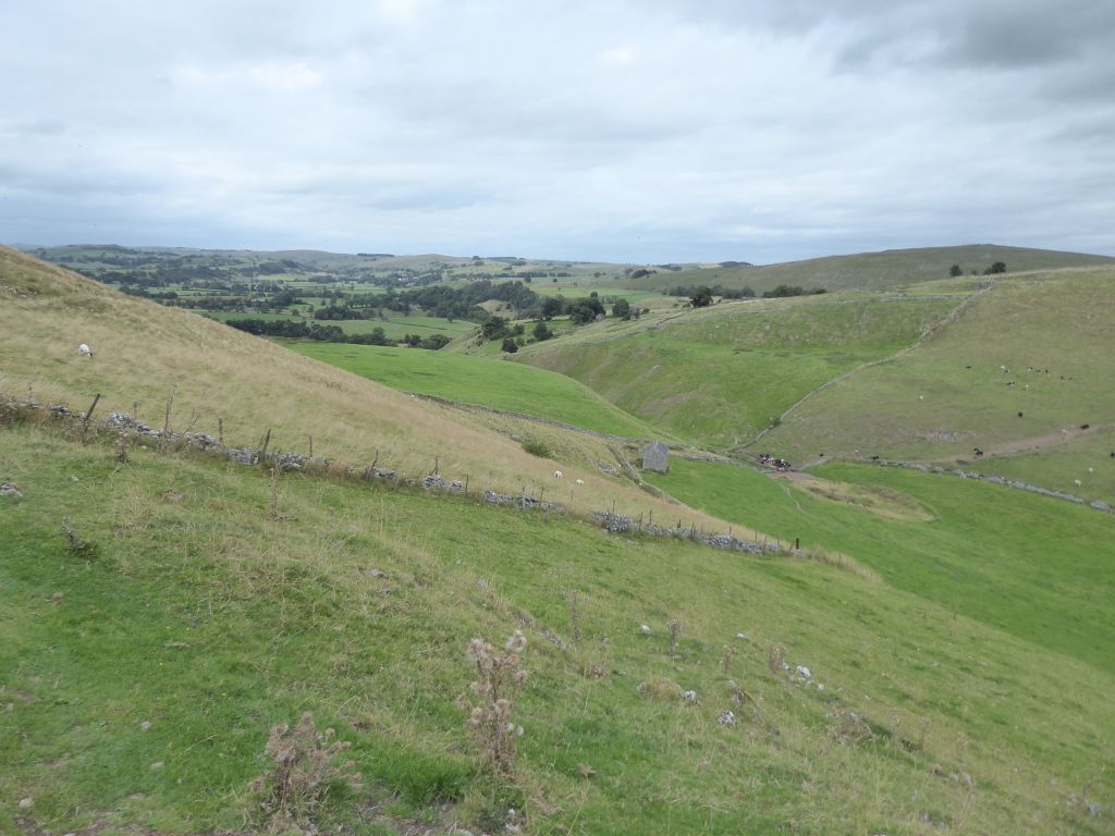
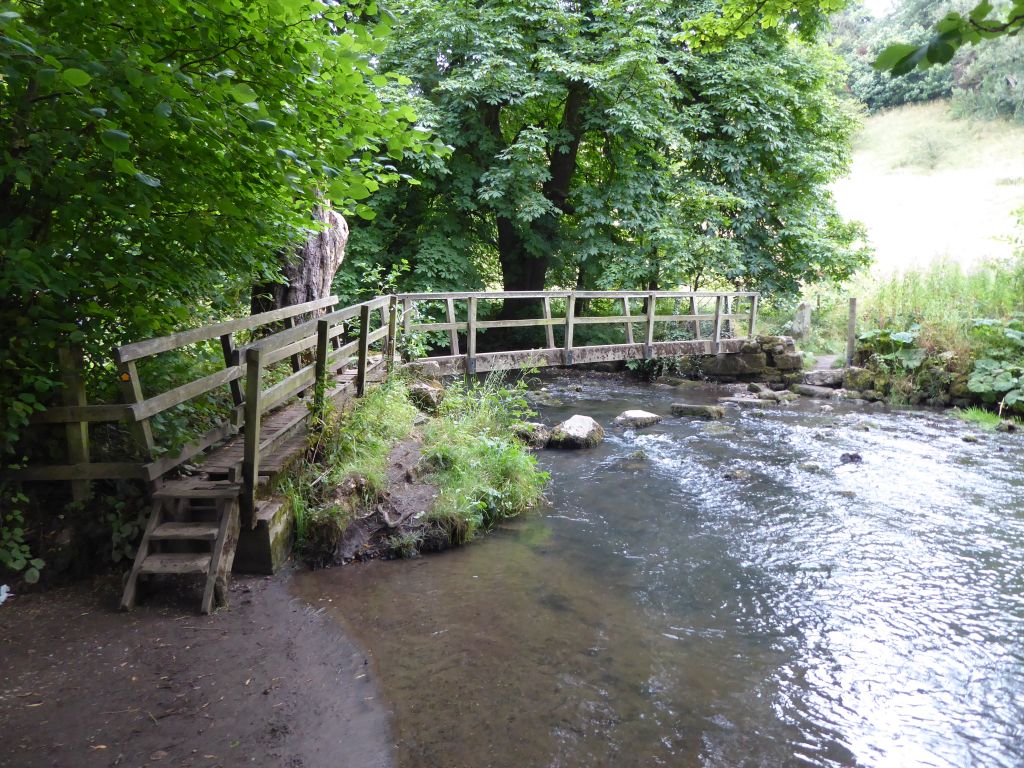
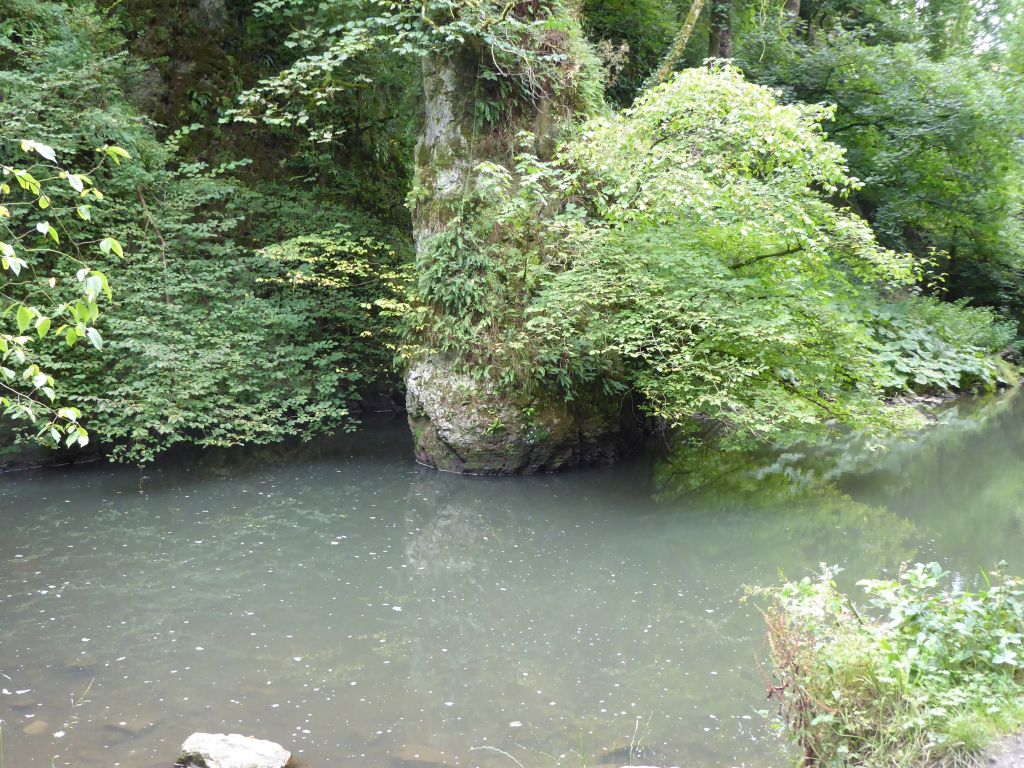
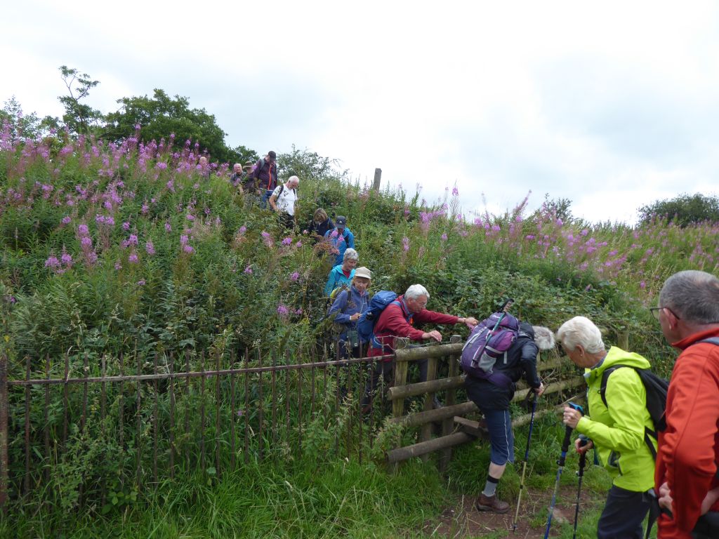
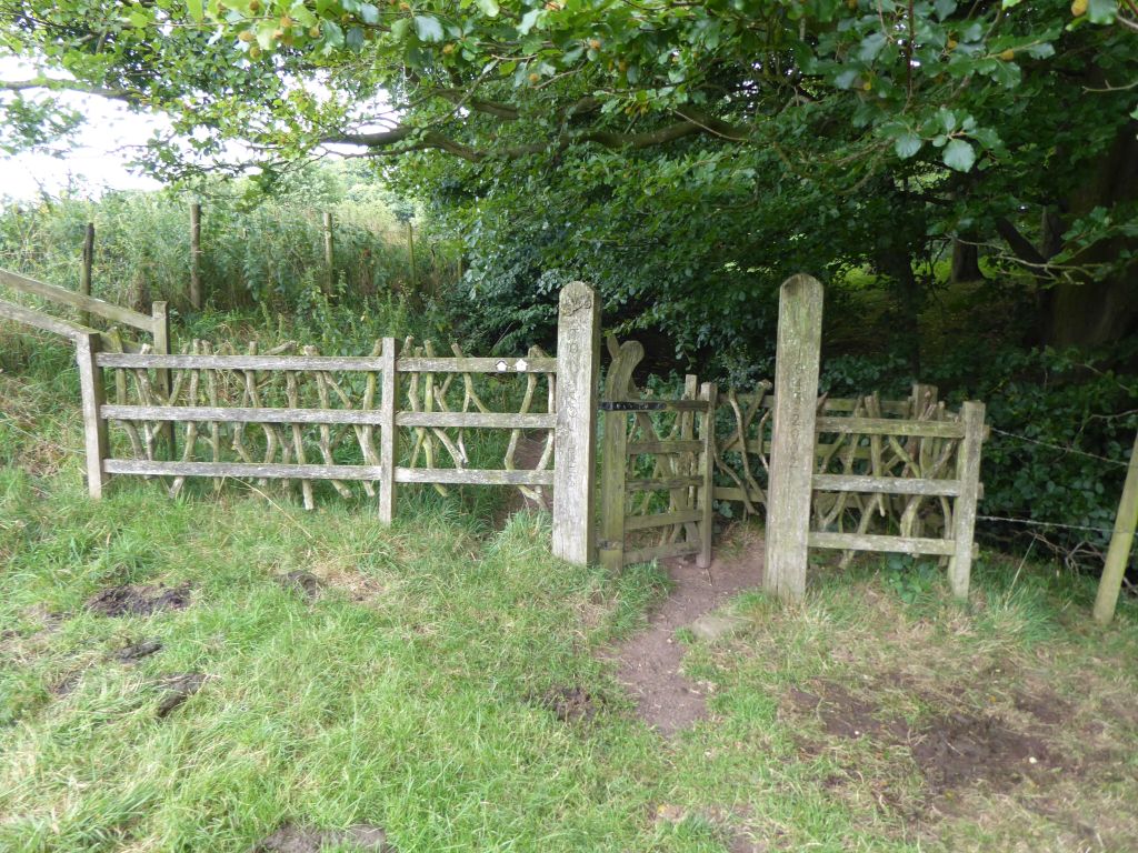
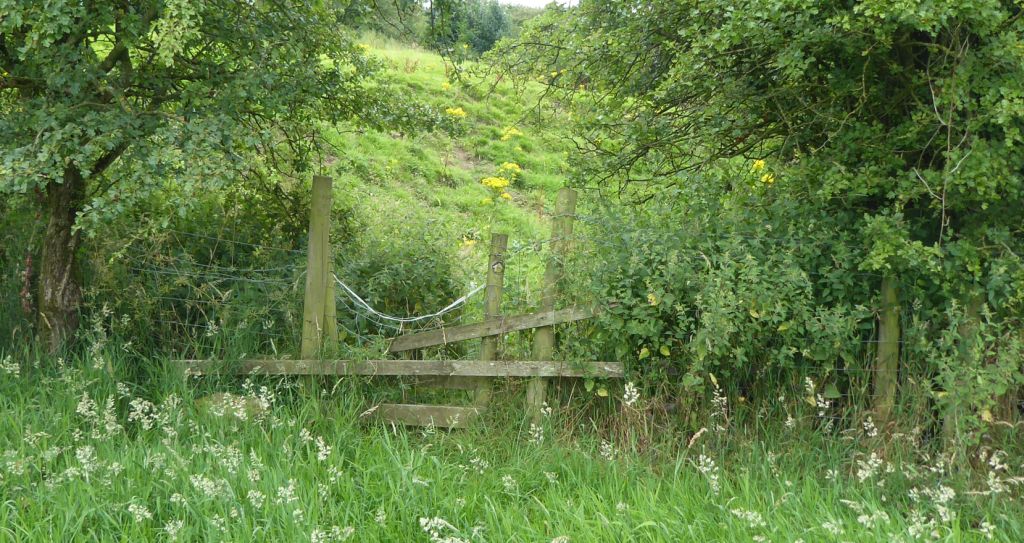
The early arrivals at the Rudyard Lake station watched with interest as the volunteers prepared their giant train set for the day’s activity. Eventually the leader insisted on setting off down the railway embankment to Leek. This is the same track that John Lockwood Kipling and Alice MacDonald used to travel to the lake during their courtship. They were so moved by the beauty of the Rudyard Lake area (“It’s exceedingly good”) that they named their first child after it, Joseph Rudyard. The disused railway track was easy walking until the turnoff to follow the River Churnet to the Leek road. The first stile (of 28 according to Rob’s count) was overgrown with nettles and brambles, which the leader had trimmed on the recce, but too much time had elapsed since then and the vegetation had recovered. Janet’s secateurs proved useful several times along the way.
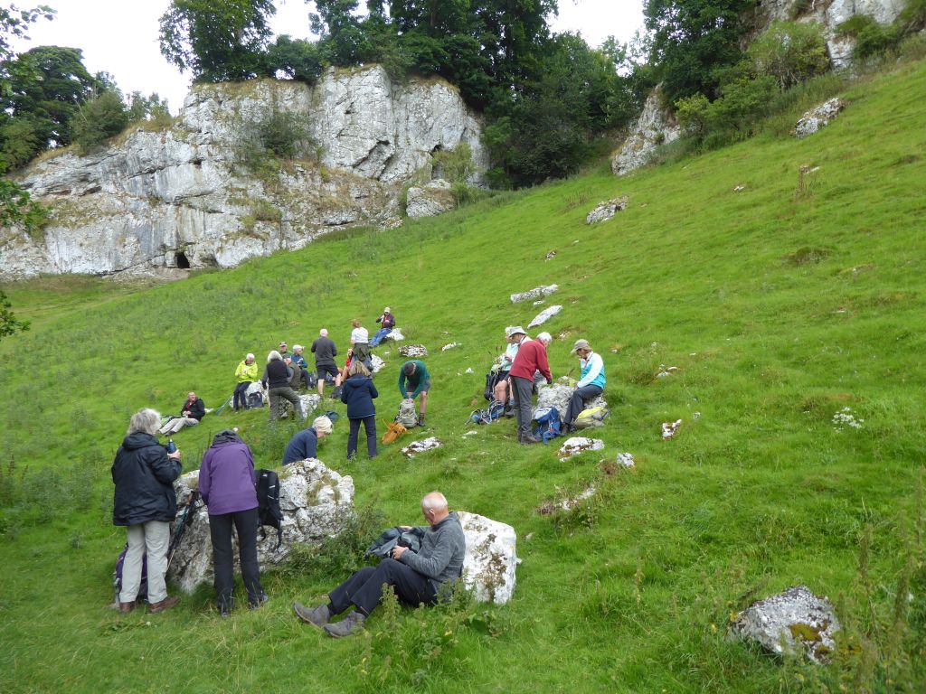
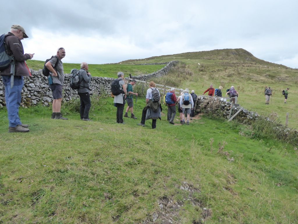
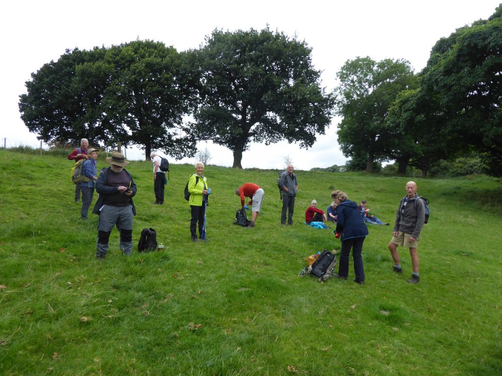
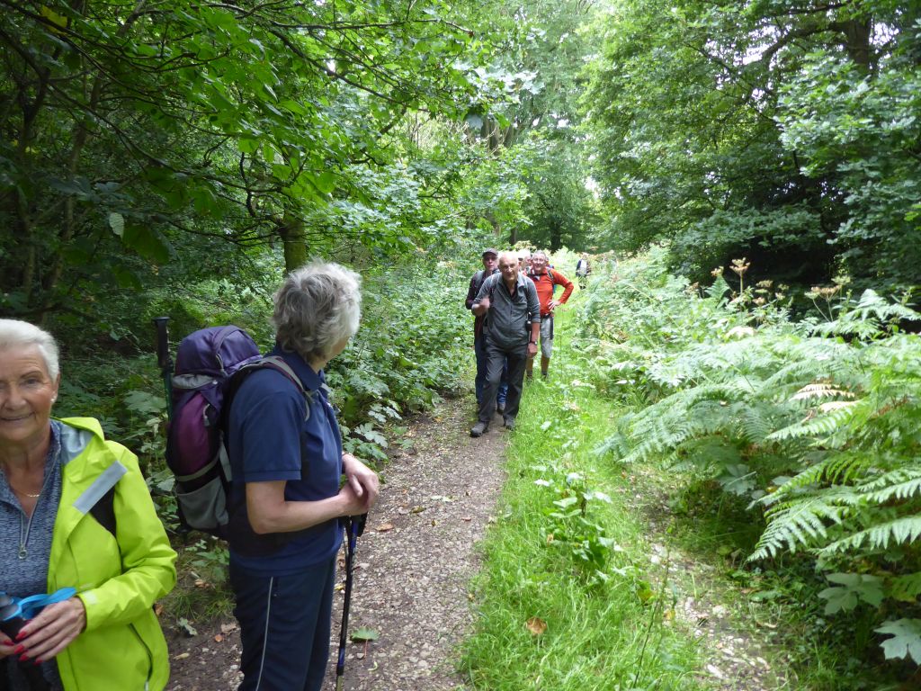
The easy walking ended when the group crossed the A523 and started to climb. A series of ups and down took the walkers to the trig point on Gun Hill. Before the group reached Abbey Green, the leader demonstrated his skill in finding a blind alley that forced him to turn round and take the route on the other side of the fence. It’s one thing to remember a locked gate on the recce, quite another when you lead the walk a few weeks later. As a reward for climbing up the hill at Abbey Green, the leader stopped for cake at the spot he had decided was a suitable site for a sunny coffee stop. The site for a rainy coffee stop was in a wood but the sunny site overlooking the location of the Dieulacres Abbey ruins was more suitable for the overcast conditions.
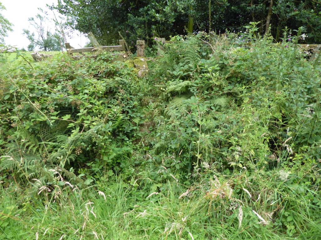
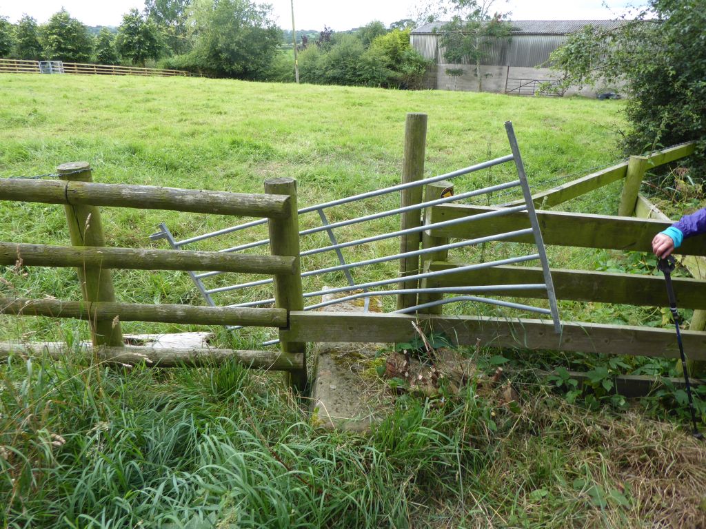
Fortified by lemon drizzle, the walkers marched on up and down. This included another stretch where the leader took the wrong side of another fence after missing the broken-down stile without a marker pole. Several walkers rebelled at walking back and climbed the barbed wire fence as a short cut. This is not u3a policy, but they manged it without rips in their clothing or much loss of blood.
After the long climb to the agricultural scrapyard at Oldhay Top, the walkers had nearly reached the trig point for lunch, when they spotted a man pulling up grass and scattering it on the road. This is not normal behaviour, so the leader enquired what was occurring. The sad tale was that the man was walking along the road, when he sneezed and ejected a dental plate with a precious tooth into the verge. The long grass instantly swallowed it, and he was desperately trying to find it. He was philosophical about his loss; it was better than the plate going down his throat. He had done that on a previous occasion.
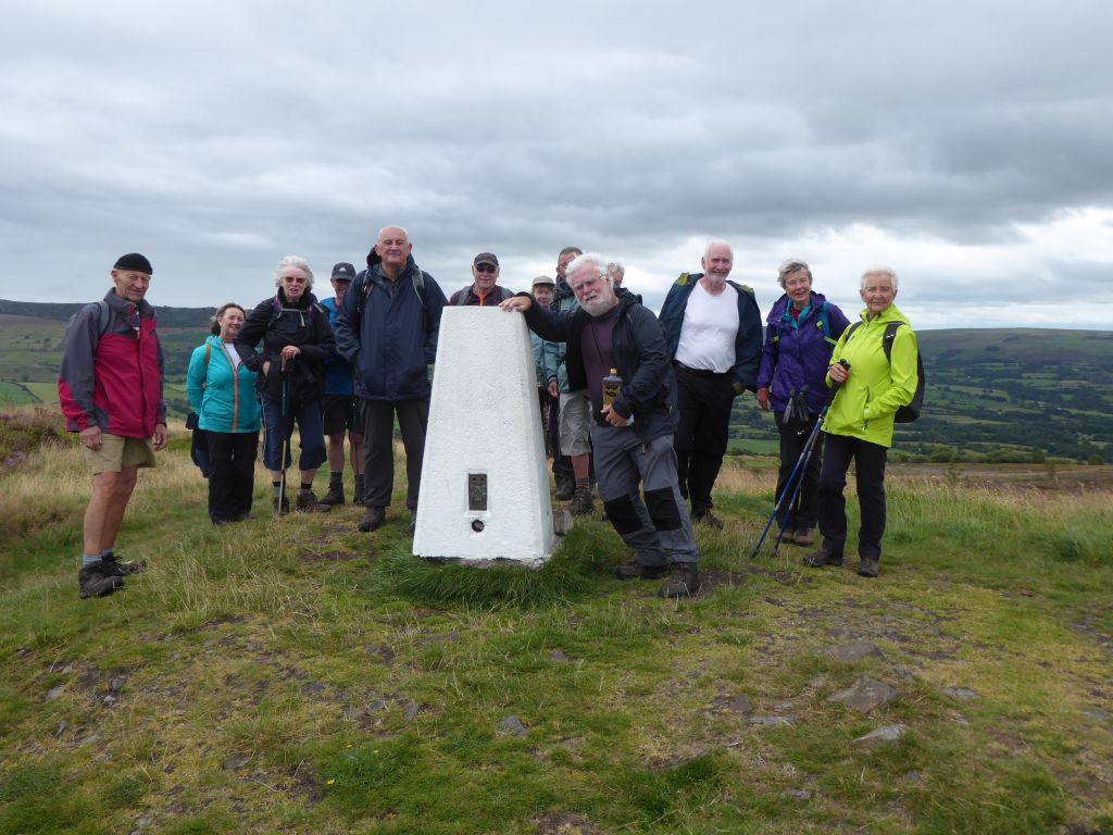
The final climb to the trig point brought the walkers into a strong wind so they retreated to the east side and had lunch overlooking the Roaches and Hen Cloud.
Since the rest of the walk was all downhill, it didn’t matter that someone forgot their cheesy lunch. There was a complaint that the walk back to the car park went up a slope at one point, but that was not upheld by the leader.
There was one more occasion when the leader was forced to backtrack; the actual path was heavily overgrown and the wrong way looked more inviting.
After crossing the A523 again, the leader offered a choice – a boring walk along the pavement to the station or an up and down longer route cross country that had not been reccied. The democratic vote went for boring.
21 Aug 2024 Hartington to Milldale Leader: Nick, Length of walk: 10 miles, Driving Distance: 30 miles, Number walking: 21
Start from around the Hartington village pond SK17 OAL
Click here to see a map of the walk.
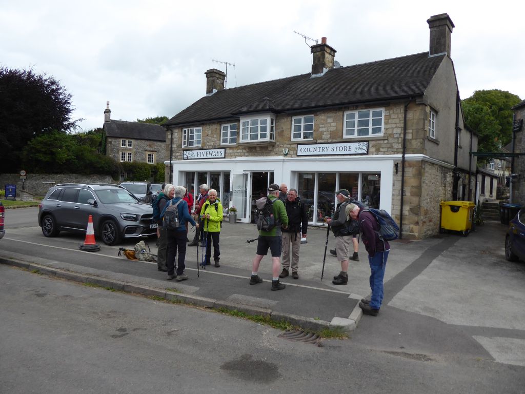
The drivers chose a variety of routes to reach Hartington and as a result they were scattered across the village centre, which offered a variety of free parking places instead of the chargeable car park. Pensioners under threat from the new socialist regime need to be careful with their spending.
The weather was occasionally sunny without being hot, so there wasn’t too much stopping to remove or replace layers.
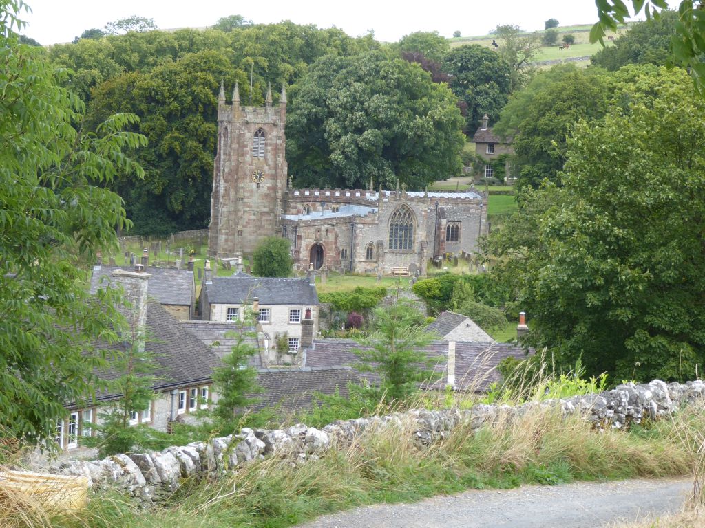
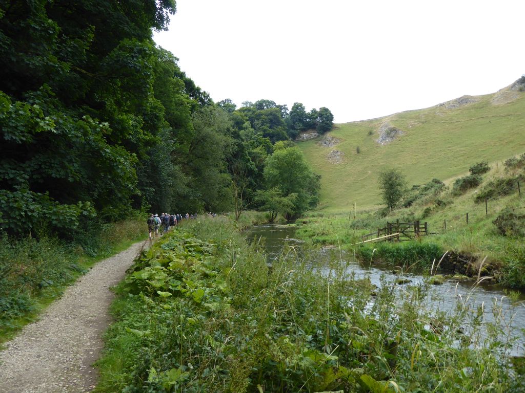
The route climbed out of the village past the church and into fields before descending to Wolfscote Dale for an extended walk along the River Dove. First the group stopped for coffee beneath the inviting mouth of a cave. None of the walkers bothered to climb up the hill to peep inside the cave and be disappointed by the dullness.
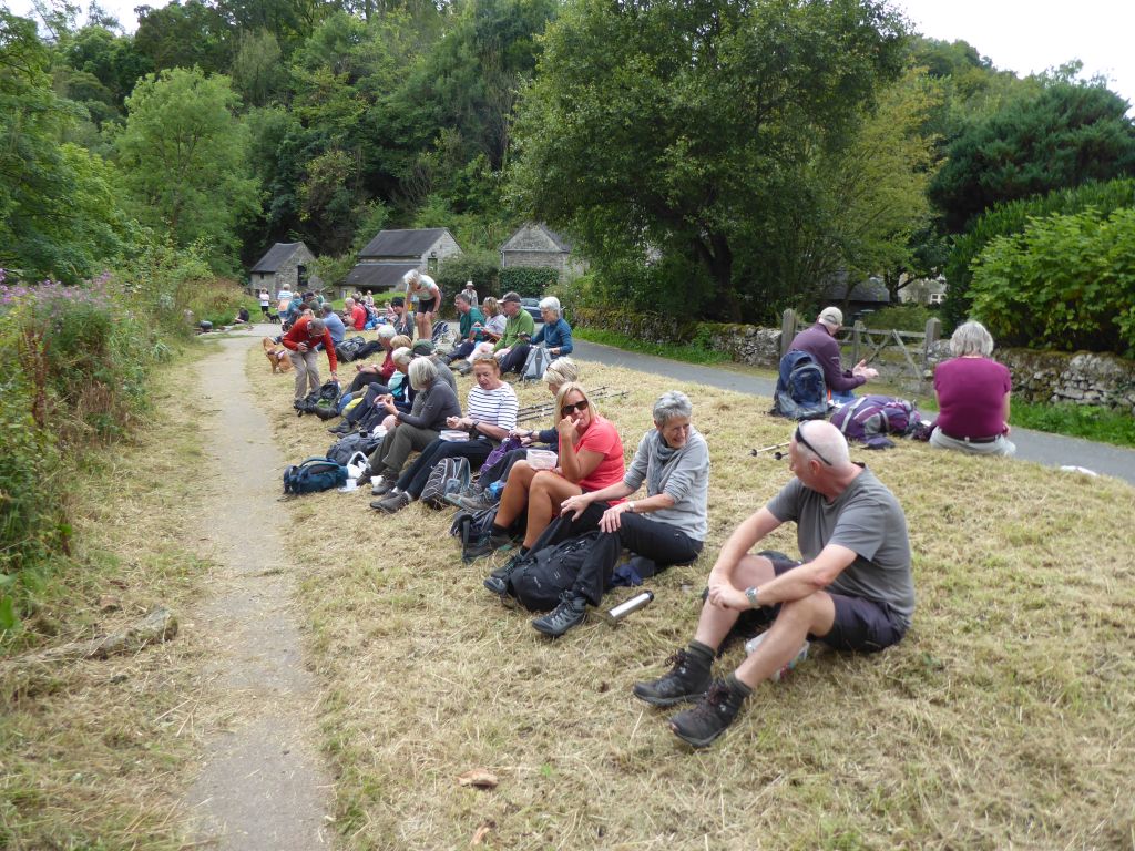
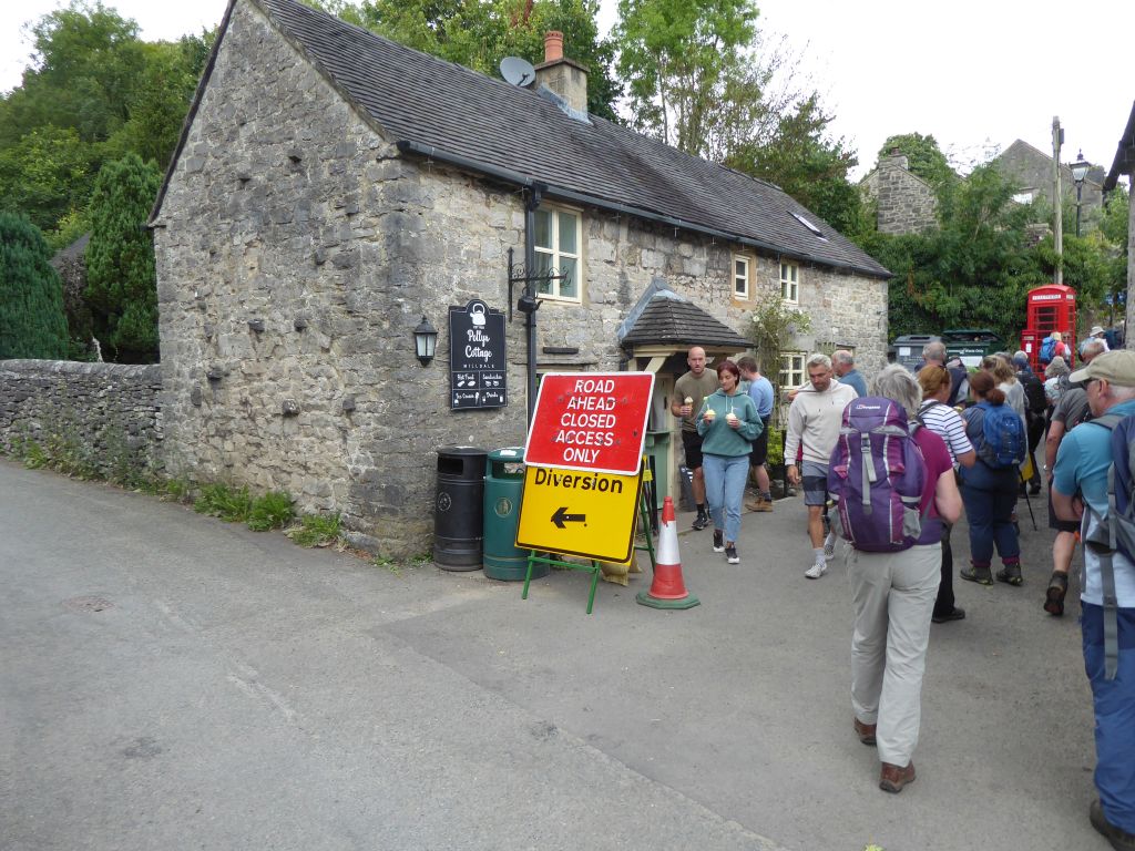
After a long stroll on the level riverside path, the walkers stopped for lunch at Milldale, which was busy with tourists. Milldale has a café and toilets to attract the visitors and it works.
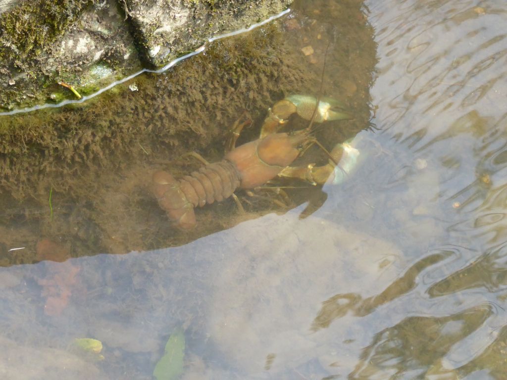
Before climbing the long hill out of the tiny village, some of the walkers were distracted by the sight of a crayfish scuttling around the rocks in the river. There was doubt as to the identity of the creature; was it a welcome UK resident, or was it the invasive signal crayfish from North America? Had it been the latter, it should have been seized from the water and killed without mercy. However, uncertainty about its true identity, not to mention the difficulty of catching it without suffering unpleasant nips, let the crustacean carry on its underwater activities.
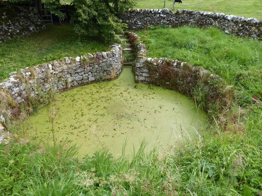
After surviving the long climb from the river, the group reached Alstonefield. There was no stopping to take in the culture, so most of the walkers missed the Green Well, which used to supply the villagers with drinking water. Nowadays the water is green because of the growth of pond weed but originally would have been on the village green. To complete the green connection, turn to Ann Green, who died on the 11th of April 1518 and was buried in St Peter’s churchyard. The villagers are proud to claim that her headstone is one of the oldest surviving in the country.
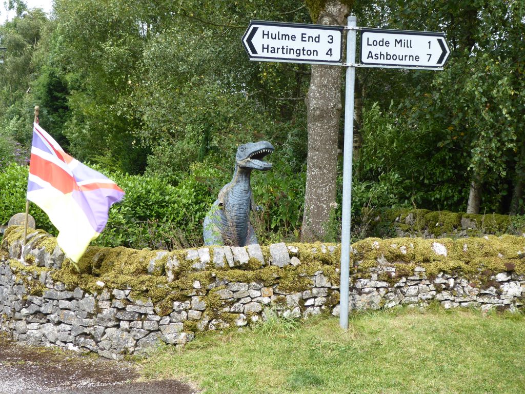
The route from Alstonefield crossed largely empty countryside, but did pass Narrowdale Hill. The name implies that a dale will be nearby but its absence from the map indicates the marketing lost momentum after naming the hill.
The path followed the River Dove for a while in Beresford Dale before climbing for the final time over the hills to Hartington.