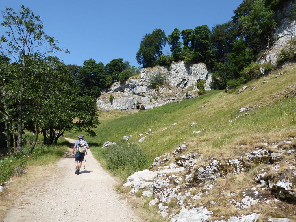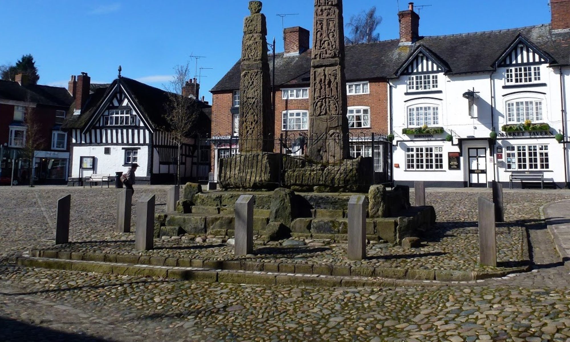

1 Jul 2026 Chirk Leader: Lesley & Liz, Length of walk: 8 miles, Driving distance: 44 miles, Number walking: 16
Click here for a map of the route.
The walk starts at Chirk Castle car park (postcode LL14 5AF).
The day was overcast at the start but became sunny later without being too hot. No rain fell.
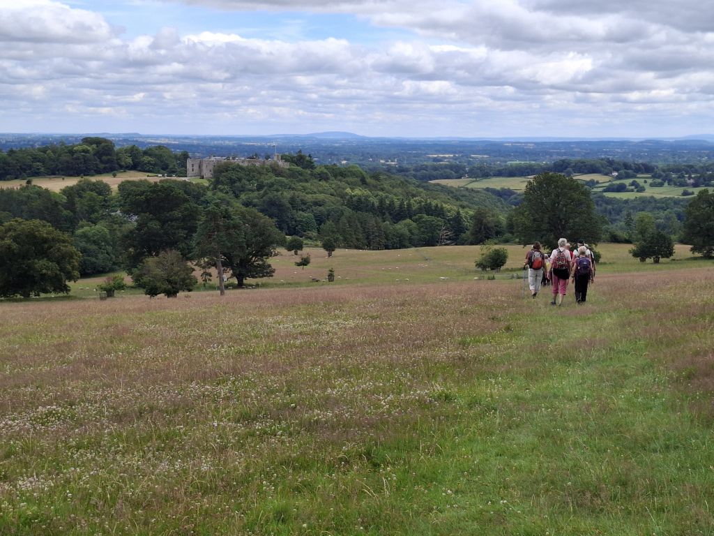
The route from the castle to Froncysyllte followed roads and paths labelled as Offa’s Dyke Path, but there was no sign of the eponymous mound, ditch or wall. The OS map shows Offa’s Dyke passing through the castle grounds, but it wasn’t noticeable to the walkers.
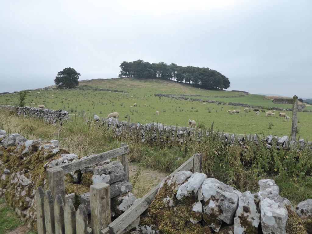
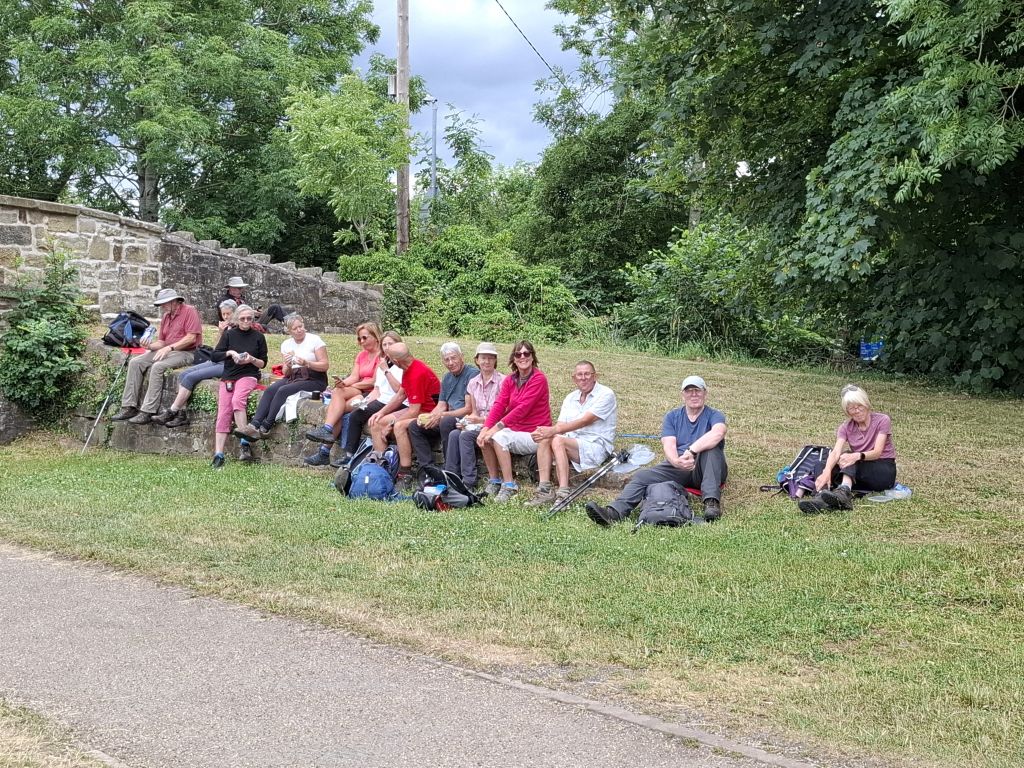
What was noticeable was the trip to the field overlooking the village of Trevor and the Dee valley where the leader stopped for coffee. In 2024 she took the group to it across fields. This time the walkers had to walk down a long road and up a steep track to reach it. She is finessing the torment.
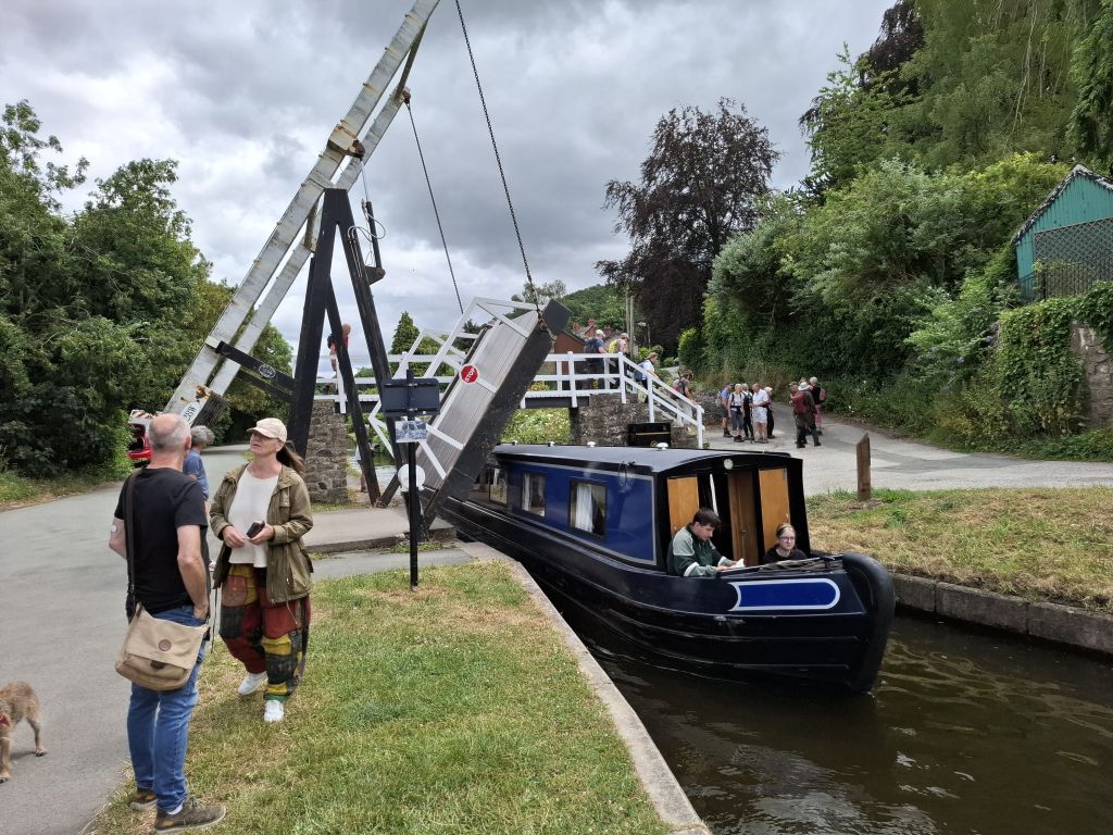
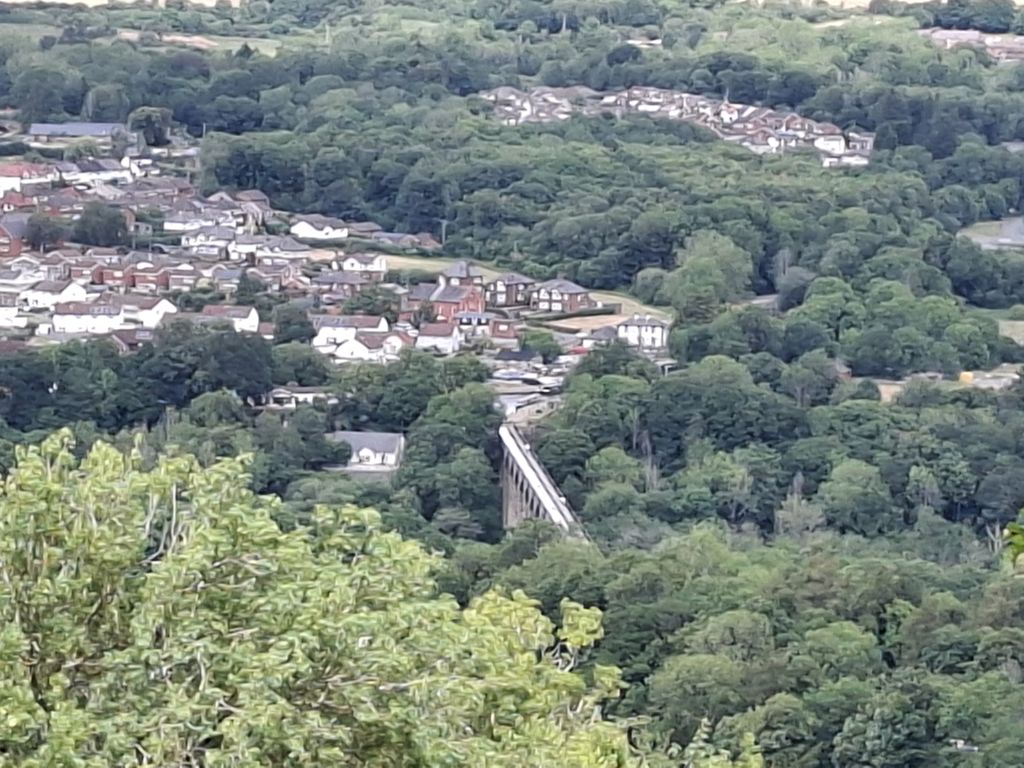
After the coffee stop the route went down the hill into Froncysyllte so that the walkers could cross the Llangollen Canal. This was key to the plan to have lunch at Pontcysyllte having crossed the highest canal aqueduct in the world (127 feet high) and the longest aqueduct in Great Britain (336 yards long). Not everyone made it across the aqueduct but, those that did, had to struggle past large numbers of walking tourists, many of whom were hugging the fence to keep going. It was surprising that no one fell in the canal (5 feet deep).
In 2024, the route back to Chirk Castle followed the canal towpath. This time the leader had spotted a hill leading out of Froncysyllte that led more directly to the castle. The downside was that the steep hill required over 900 feet of ascent, frequent brushes with brambles and nettles and walking on the edge of a quarry cliff protected only by a few wire strands pretending to be a fence. The walkers made frequent stops to admire the view, and nobody died. Success!
Once the group reached to summit, the route was pointing straight at the castle. This required a deviation to avoid walking over the same ground the group covered at the start of the walk. A further shortening of the route was allowed so that the walkers could get to the ice cream shop sooner and get home to watch England beat DR Congo in the football World Cup. The walkers ended the day in great spirits.

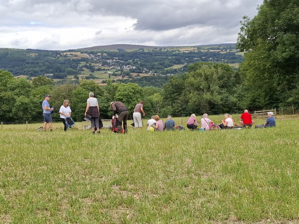
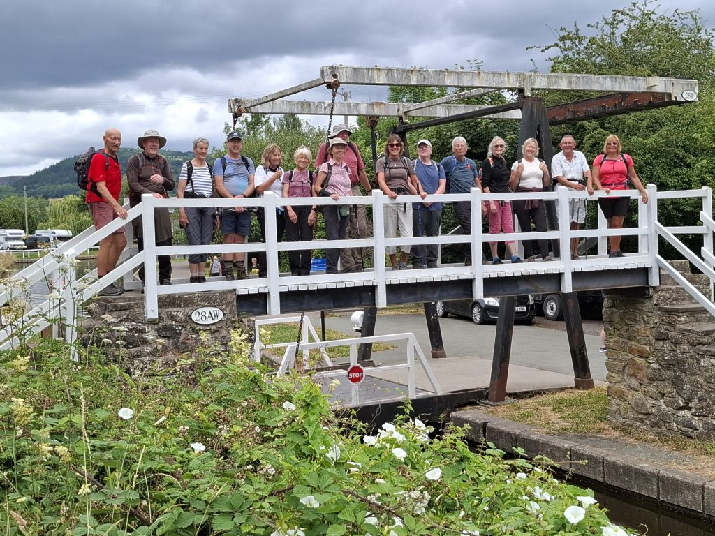
15 Jul 2026 Hartington to Alstonefield Leader: Keith, Length of walk: 8.5 miles, Driving distance: 30 miles, Number walking:13
Click here for a map of the route.
The walk starts from the car park in Hartington, SK17 0BE.
Hartington was busier than usual. Parked cars clogged the roads after offloading people who were obviously off to attend a funeral. When the walkers returned, the wearers of dark clothing were still around in the sunshine.
The weather in the morning was delightful; the overcast sky and temperature of 15°C made a welcome change from the foreign heat wave of recent weeks. Although the clouds disappeared in the afternoon, some walkers setting off complained that they had no coat.
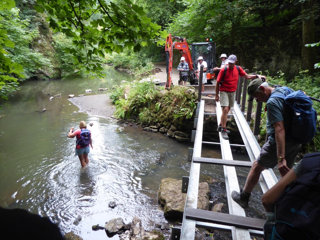
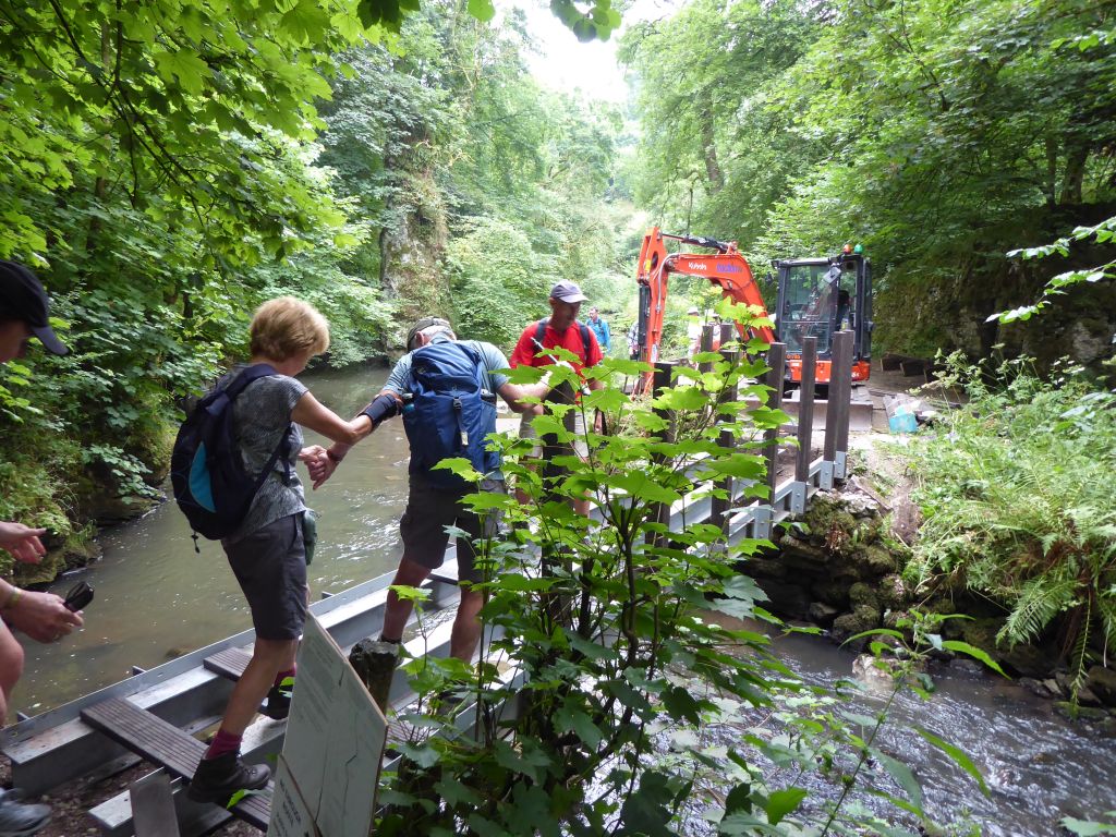
The walk took an ominous turn when the walkers found a notice announcing the temporary closure of the path chosen for this walk. A footbridge over the River Dove was being rebuilt and walkers were requested to avoid this path while the work was completed. The notice even asked responsible members of the public to report actions by reckless walkers, implying that some of them might attempt to cross the river on an uncompleted structure. The walkers ignored the walking saying that they could wade across the River Dove without difficulty.
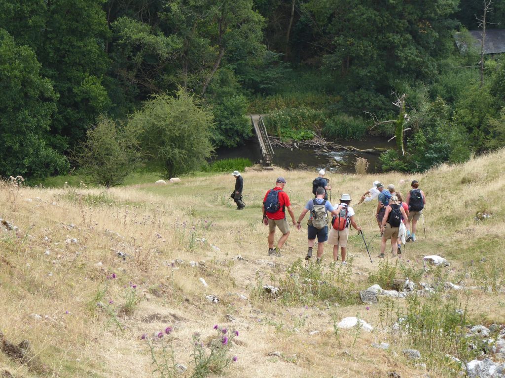
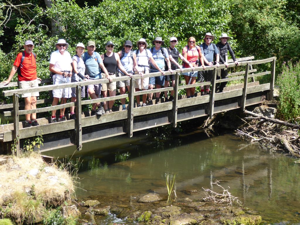
When the group reached the closed bridge, they bullied the lone workman into allowing them to cross using the skeleton of the deck and the recently installed uprights. Lesley decided to wade across as the rest of the party carefully crossed the bridge. A few minutes later the group met the man in charge and another workman returning to the bridge. Realising that the group had crossed the uncompleted bridge, he described the walkers as “naughty”. Consider that a slap on the wrist.
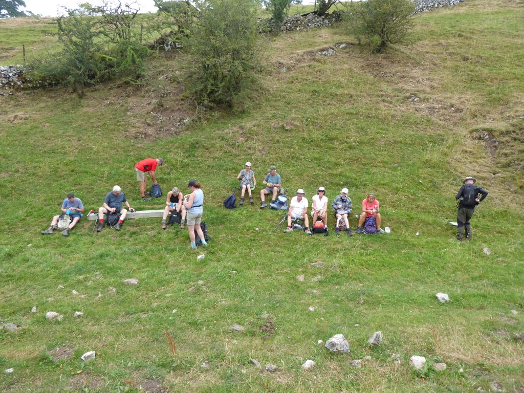
The leader called a coffee stop in the gap between Narrowdale Hill and Gratton Hill. The gap is such a noticeable feature that one imaginative walker suggested that one of the hills had been an ancient fort. This would have been a revelation to the Ordnance Survey, whose map shows no such structure unless the tumulus on top of each hill counts as a fort.
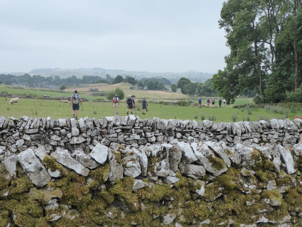
The next stage across fields and roads led to Alstonfieid for a toilet stop and then down to the River Dove for the return journey. The last stage of the walk before the steep slope down Gypsy Bank took the walkers on a path heavily overgrown with all manner of annoying plants. Nettles, brambles and thistles all featured until the walkers emerged onto the grassy bank leading down to the Coldeaton footbridge.
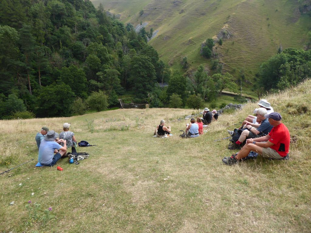
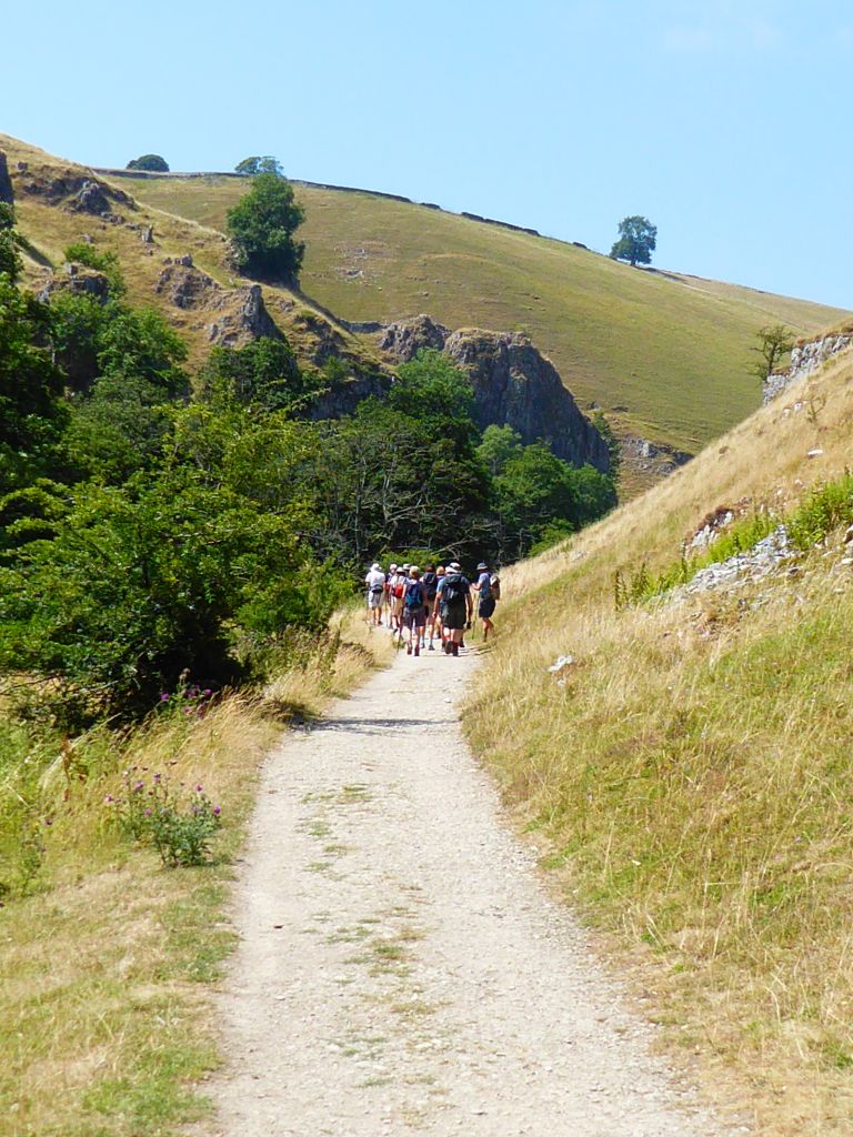
The walkers settled down on the hill for lunch before crossing the river. While they were resting, the sun came out but didn’t create the fiery environment that had been plaguing the country in the past few weeks. Walking along the riverbank might have kept the temperature down but the walkers enjoyed a pleasant transit of Wolfscote Dale until they left the river at Wolfscote Hill.
While climbing out of the valley, they came across an elderly couple trying to ride electric bikes down the stoney path and making a hash of it. They were persuaded to turn round to find a more suitable route and passed the group later in a cheerful electrically-powered mood.
After crossing a few fields and following a few tracks and roads the walkers reached Hartington and immediately sought out ice cream as a reward. The question of who pinched the last milk chocolate Magnum was left open in the Revenge folder.