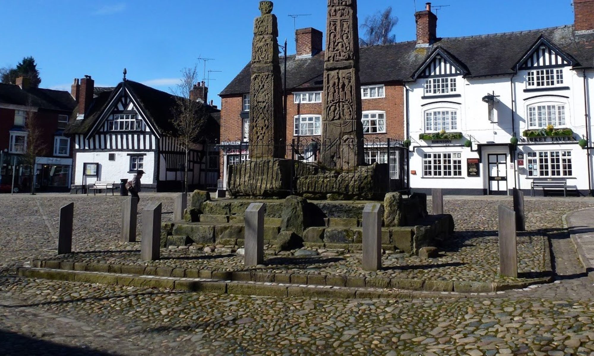

6 May 2026 Winter Hill Leader: Simon & Lynda, Length of walk: 8.5 miles, Driving distance: 50 miles, Number walking: 11
Meet at Rivington Hall Barn with free parking and toilets postcode BL6 7SB
Click here for a map of the route.
The last time the group walked to Rivington Pike, the walk didn’t continue to the TV mast on Winter Hill. The report says that it was obscured by low cloud. There was no low cloud this time, although there was plenty of it higher up with sunny periods to add to the variety.
The walk started from Rivington Hall Barn, which was originally built in Saxon times and was heavily restored in 1905. It is now a café and has a large free car park with toilets adjacent. The barn, Rivington Hall and the land around it were all owned by Lord Leverhulme, who was the son of a Bolton grocer and worked his way up most successfully. He gave the land to the local community as a park, but judging by the lack of maintenance in the terrace gardens, he didn’t leave enough money to keep it in tip-top condition.
The group climbed to Rivington Pike for coffee. A rough translation of the old name is “the peak of a rugged hill”. The tower at the top was allegedly built as a hunting lodge, but it’s hard to see how any hunting would have been successful. The hill is very steep, so horses would be in serious danger of rolling down and there is currently no cover for any prey animals to make a home in. Blackpool Tower and the Isle of Man can be seen from Rivington Pike (allegedly) but the walkers failed to spot them. After looking at the extensive views that were available, they climbed down the north side of the hill to climb up Winter Hill next door with its TV mast very prominent in the sunshine.
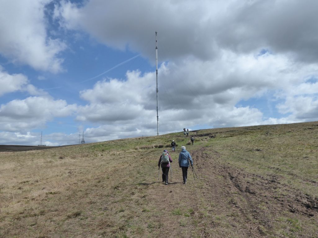
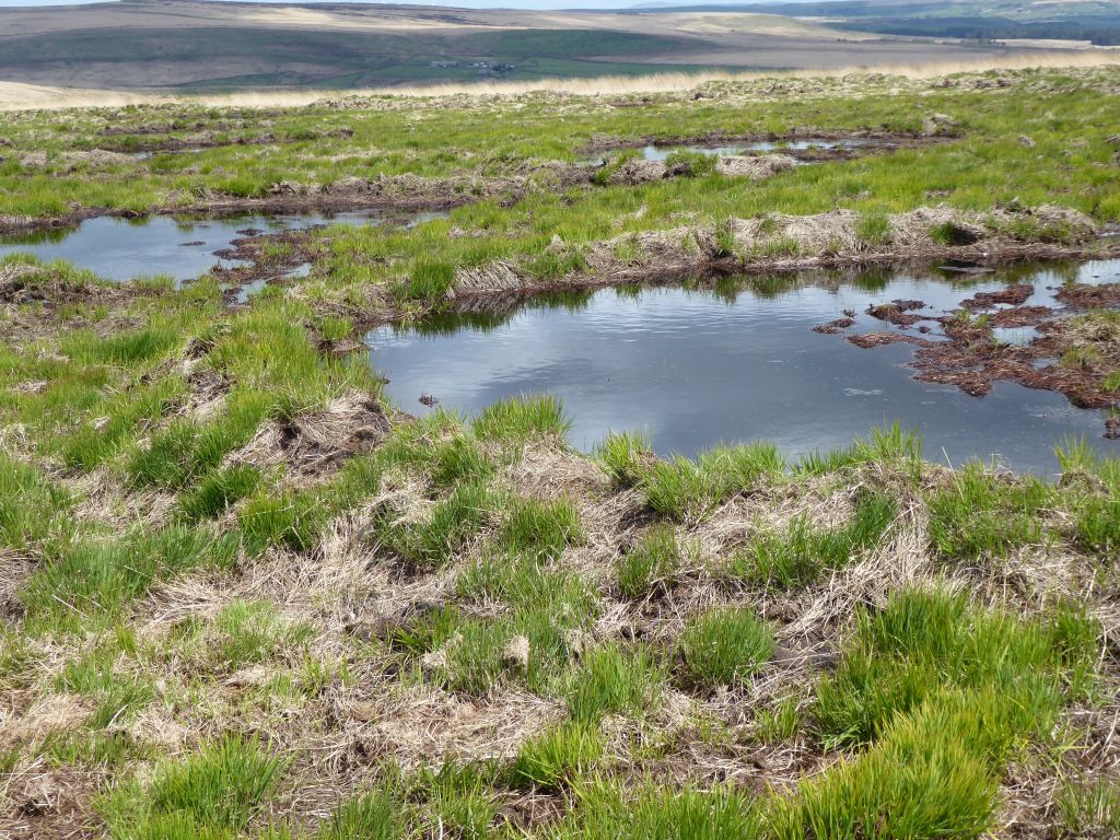
The TV mast and its ancillary equipment are securely fenced off so that the group had to walk all the way round to reach the steep path down the north side of Winter Hill. This heavily eroded route is one of the ugliest the group has walked over but everyone reached the bottom without injury. The area below the hill is labelled Winter Hill Flats on the OS map and it looks like a giant has scooped lots of ponds with his enormous spoon. A passing local, who was interrogated, revealed that the area was being rewetted, possible after the 2018 wildfires which devastated large areas of peat bogs.
A broken-down drystone wall near the Hempshaw ruined farms provided seating for the lunch stop and then it was down to the reservoirs. The River Yarrow feeds one of them and at the makeshift bridge where the walkers crossed it, the river flowed through an 18inch steel pipe. They walked down Lead Mines Clough to the Yarrow reservoir and then alongside upper Rivington reservoir back to the car park. With a slight detour to the north, the route could have included Anglezarke reservoir as well. If the group returns in another nine years, they might visit the scale model of Liverpool Castle which was started in 1912 on the side of lower Rivington reservoir but never completed.
The afternoon sunshine persuaded all the walkers to head to the café for drinks on the terrace, which probably upset the staff who were hoping to close at 4pm. They carried on clearing away while the walkers enjoyed talking their usual nonsense.





20 May 2026 Wildboarclough Leader: Rob & Liz, Length of walk: 8.5 miles, Driving distance: 20 miles, Number walking: 12
Click here for a map of the route.
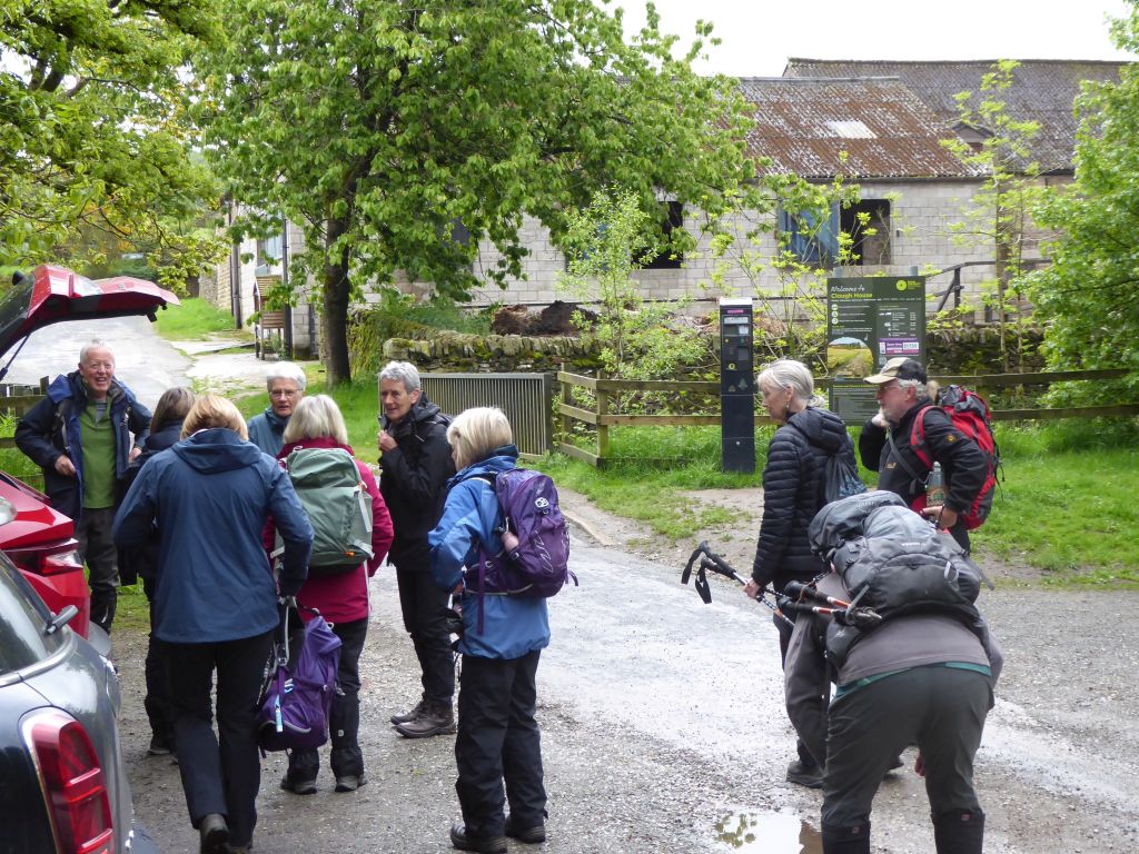
Starting at Clough House car park (Wildboarclough) SK11 0BD.
The authorities at Peak District National Park have installed a machine at Clough House car park to take £6.60 from anyone wanting to park there all day. We may see more of this!
The day was overcast and a couple of short light showers showed that the forecasters knew what was coming. Nobody knew that the group would start out with a new member, but Brian joined for the first time and survived the test.
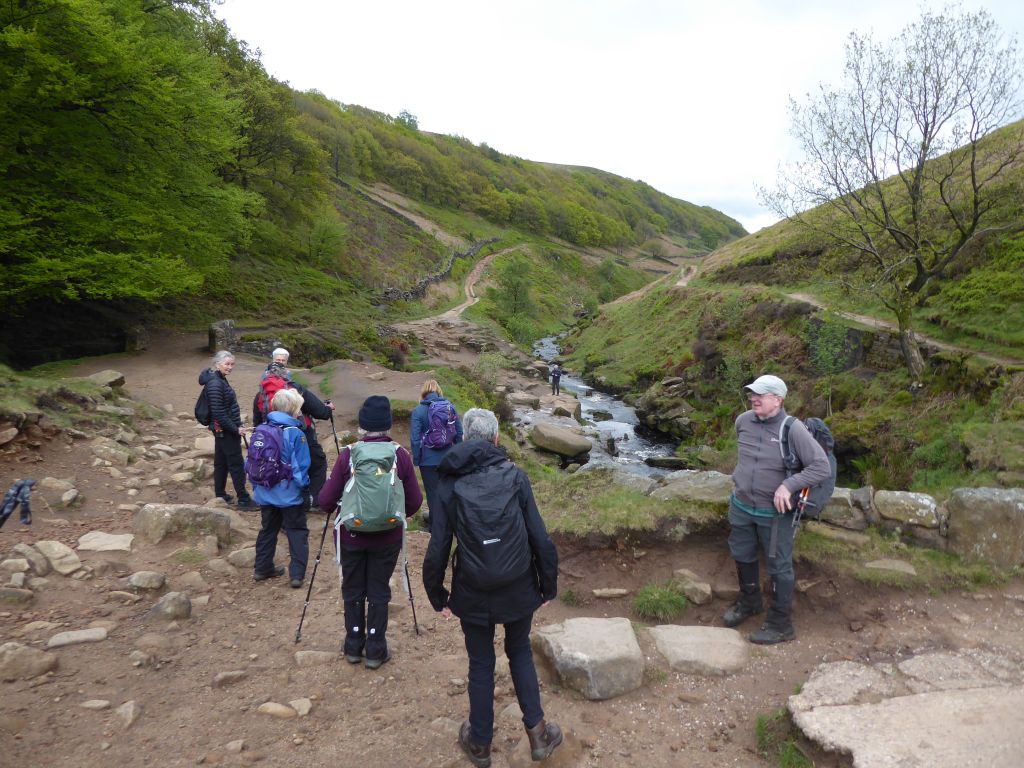
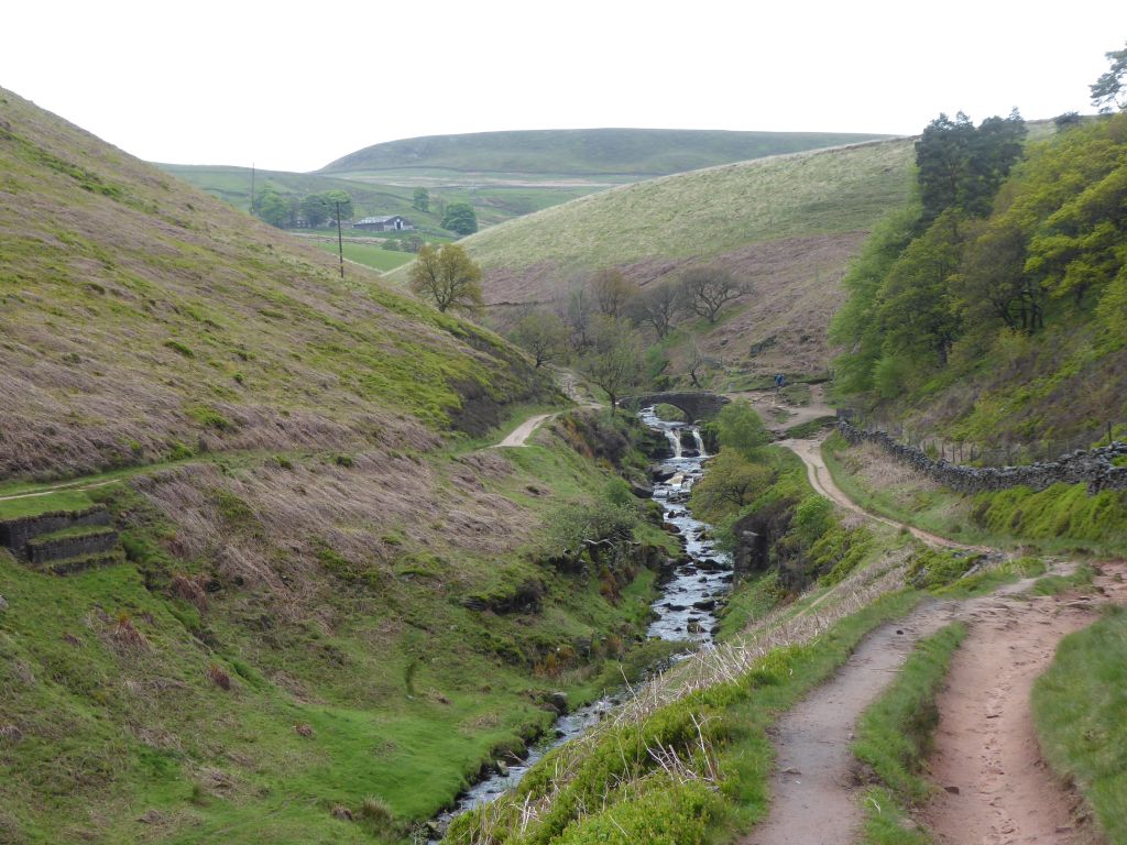
The route went up Cumberland Brook but turned off to go east at the first opportunity. Instead of climbing up to the Cat & Fiddle, the walkers took the lower route to cross the A54 and then walk down to Three Shires Head. There they had coffee and met another small group of walkers who they met again at Gradbach Mill.
After leaving Three Shires Head the sound of a cuckoo was prominent for a surprisingly long time and those at the front of the group actually saw the bird. That doesn’t happen very often.
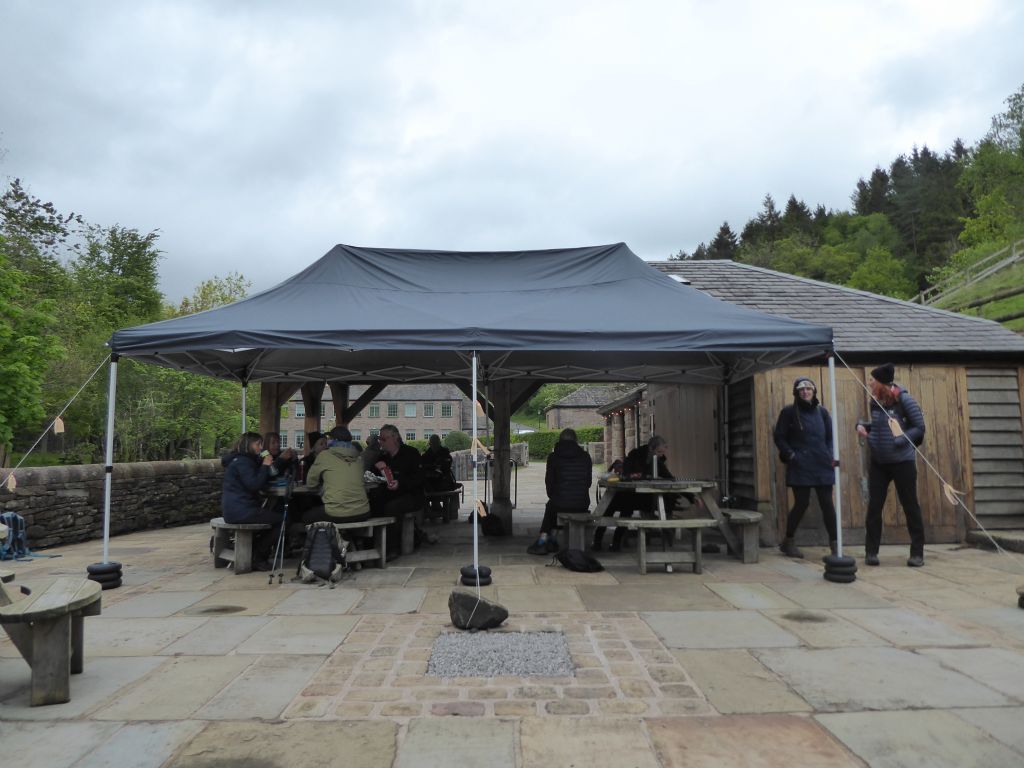
At Gradbach Mill the walkers enjoyed the picnic tables and toilets to prepare for the steep climb out of the Dane valley. This went on for a long time but fortunately, the incline became less steep as they approached the summit. At this point they were overlooking the A54 again and Wildboarclough was visible in the valley below. It was “all downhill from here” until they returned to the car park.