
1 Apr 2026 Thorpe, Dovedale, Milldale and Tissington Loop Leader: Lesley, Length of walk: 10 miles, Driving distance: 47 miles, Number walking: 12
Click here for a map of the route.
The day was overcast but not cold and no rain fell during the walk.
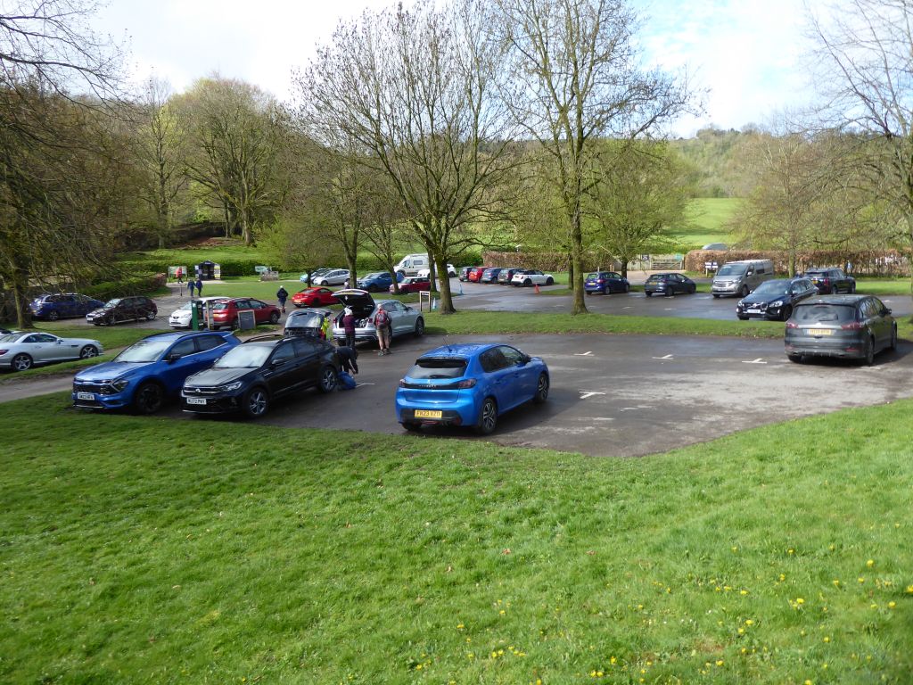
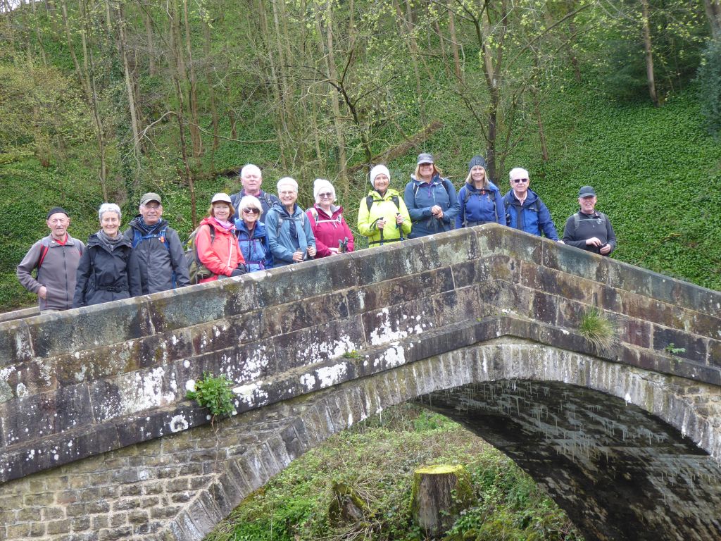
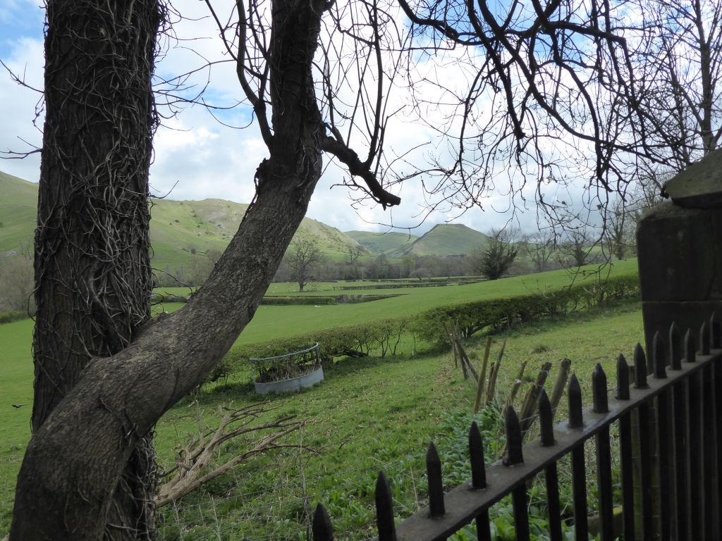
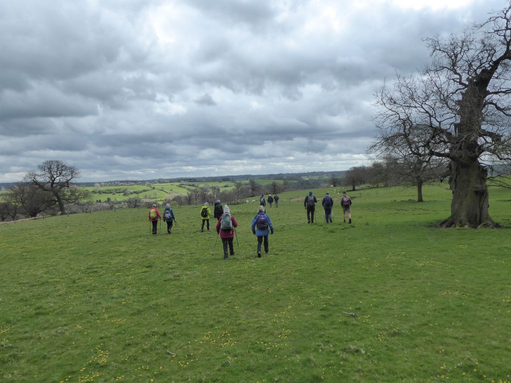
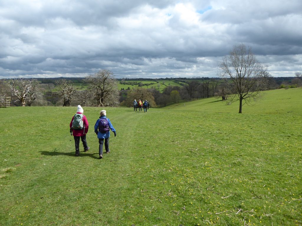
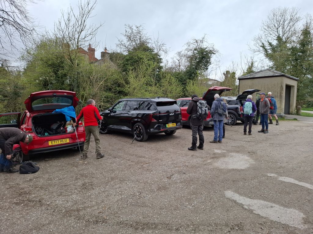
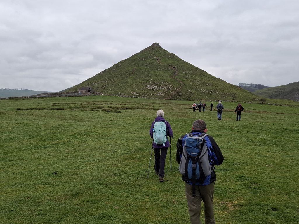
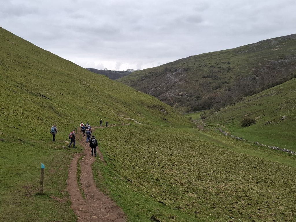
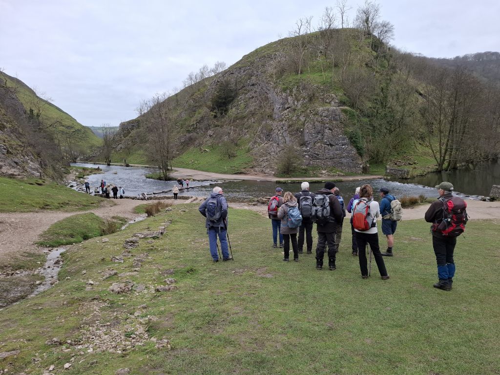
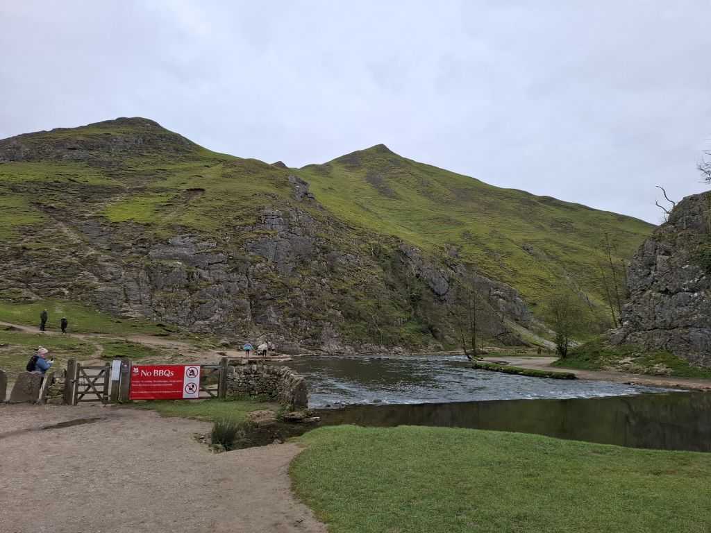
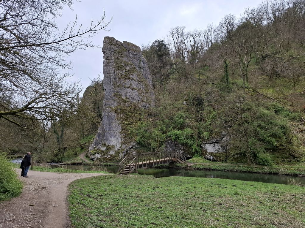
The car park sits where Thorpe railway station used to be, and the track of the disused railway has been turned into the Tissington Trail for walkers who like to avoid hills. The second half of the route followed the Tissington Trail for a very satisfactory level end to the walk. The first half involved a short uphill to Thorpe than a long downhill to the HF hotel “Peveril of the Peak” then another short uphill to pass (not climb) Thorpe Cloud. That took the group to the River Dove by the famous stepping stones. After a few minutes unsuccessfully watching for someone to fall off the stones, the group moved on to follow the riverside path. As is usual in hilly areas, the path and river are sometimes not close together as the path takes the best course through the rocks. This led to a very welcome stop for coffee at the Lovers Leap site, where Debbie issued delicious simnel cake to the weary walkers.
Bread regulations from the Middle Ages suggest that Simnel cakes were boiled and then baked, a technique which led to an invention myth, which today would qualify as “Fake News”, whereby a mythical couple, Simon and Nelly, fall out over making a Simnel. One wishes to boil it, one to bake it and, after beating each other with various household implements, they compromise on a recipe which uses both techniques and contains both their names. On the other hand, the Latin word simila means “fine flour” and omits the domestic violence.
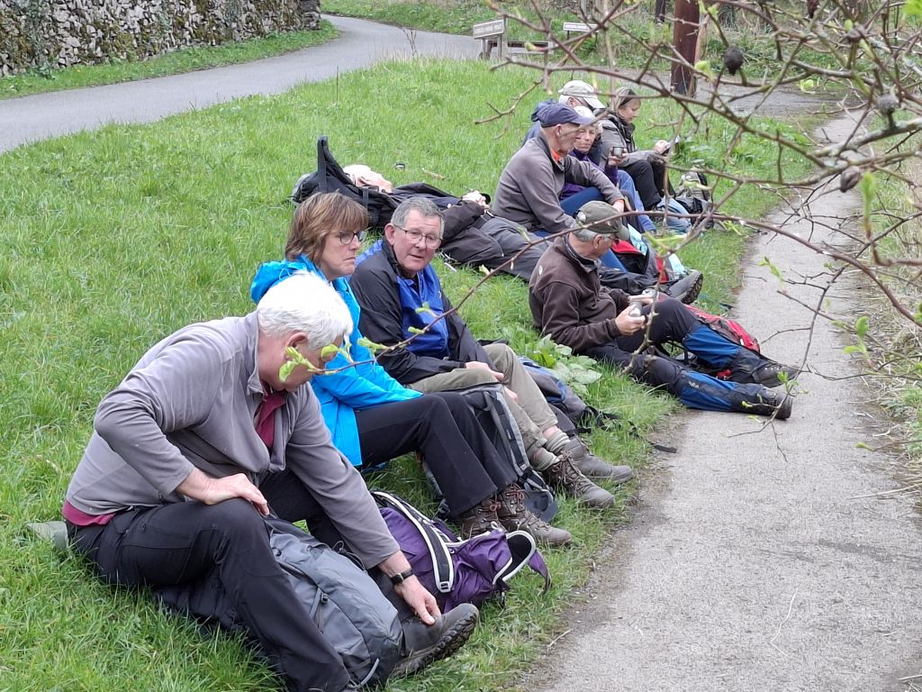
After following the river for a few miles, the group reached Milldale, which has public toilets and riverside seating. Since the benches were occupied by old people, the walkers spent lunchtime sprawled on an earthen bank watching the bird life on the river. When the group last visited Milldale a crayfish was the centre of attention, but on this visit the group had to make do with a Mandarin duck and a blackcap (it’s a bird).
The group now took to the road, which followed the river for a while and then climbed out of the valley to join the Tissington Trail at Alsop station (remains of). Joy was now unconfined as the walkers realised that they would stay on the level path without mud or stiles until they reached the car park. The term “predominantly flat” could be justifiably used to describe this section of the route.
Most of the walkers made a visit to the Old Dog pub in Thorpe as they made their way home.
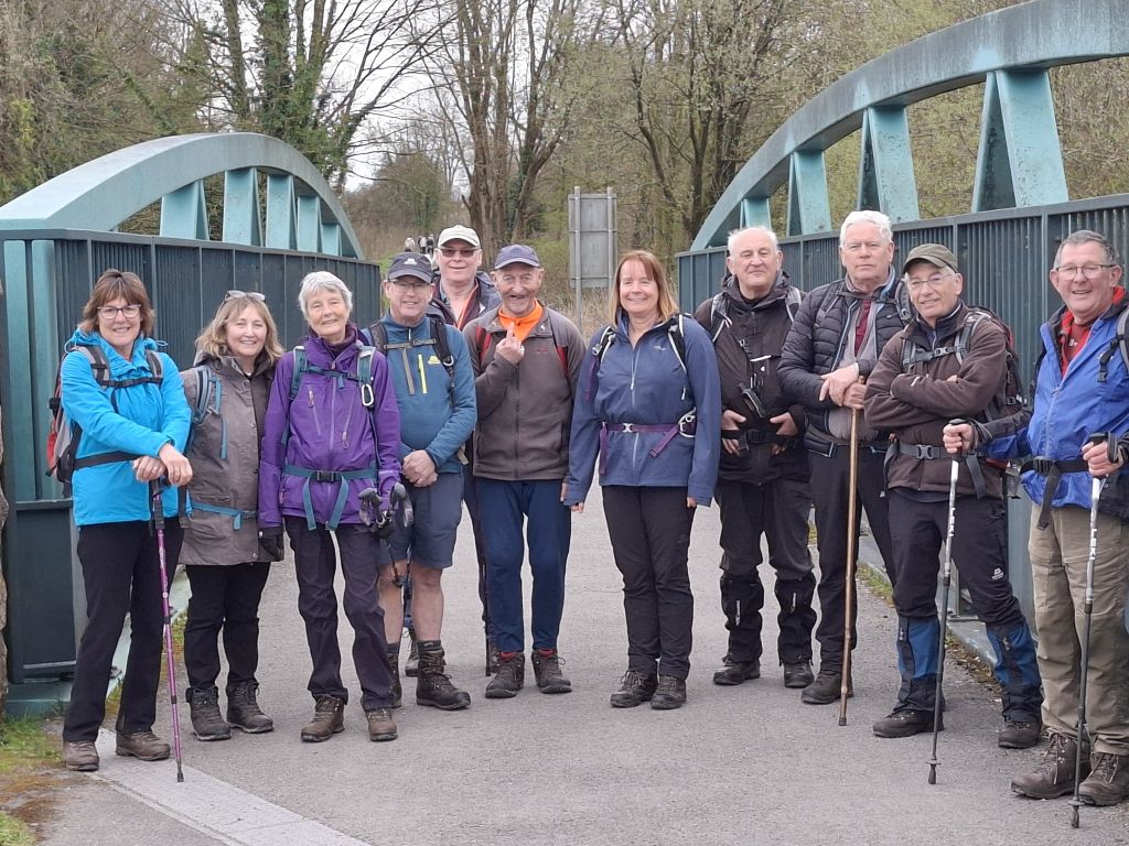
15 Apr 2026 Ilam Mapleton and Thorpe Leader: Peter, Length of walk: 9 miles, Driving distance: 32 miles, Number walking: 14
The walk starts at Ilam Hall car park DE6 2AZ (bring your National Trust
membership cards for free parking), What3Words /// jaws.silently.melts,
Grid Reference SK13055 50889 (toilets and cafe).
Click here for a map of the route but ignore the road out of the Manifold valley. The track inadvertently recorded part of the journey home.
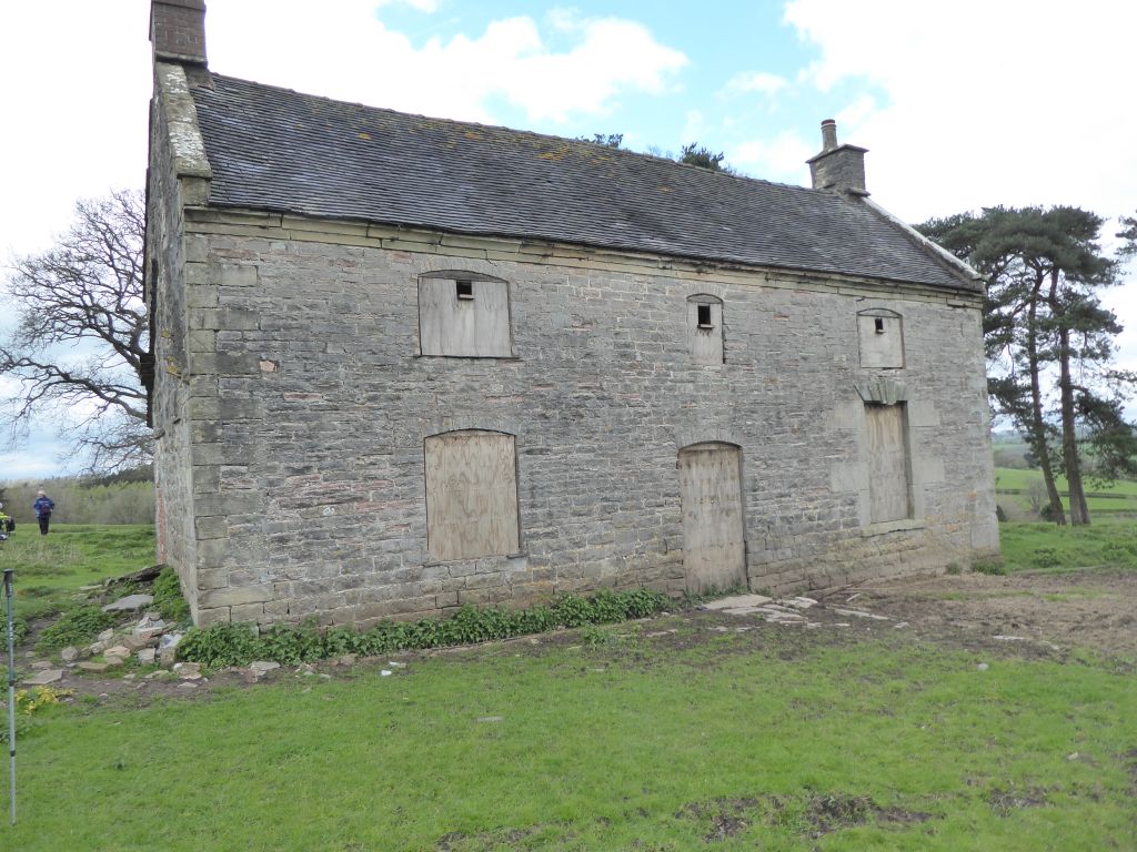
The walk set off in a north-west direction from Ilam Hall car park to reach the path alongside the River Manifold and passed the hall going south out of the valley to Blore. This led to the traditional lunch stop by the derelict cottage in the middle of a field above the ancient oaks. This time the walkers were unable to climb into the property because someone has sealed up all the openings! It’s probably for safety reasons, but it takes away the fun.
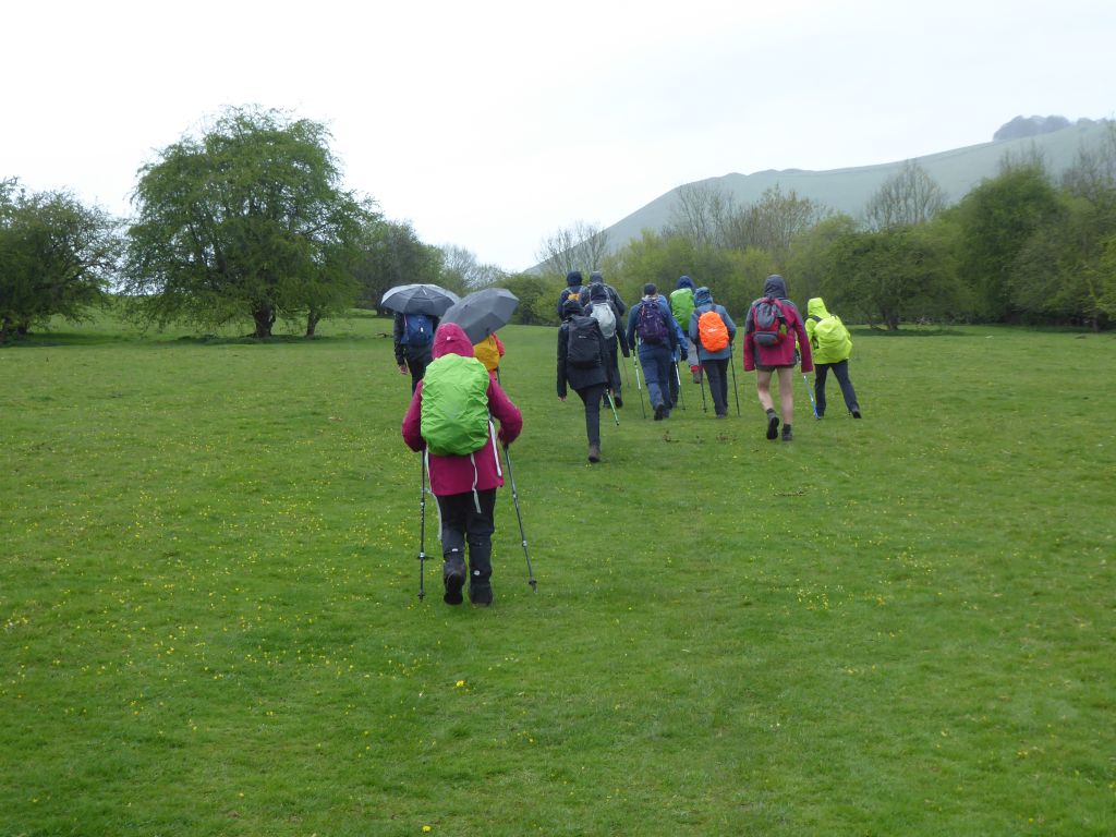
After lunch the walkers walked past the ancient oaks and Okeover Hall to cross the River Dove at Mapleton. After a quick visit to the church, the group climbed steadily to Thorpe before walking down to the Coldwell bridge over the River Dove. The last section of the walk followed the Manifold Trail in the rain back to Ilam.