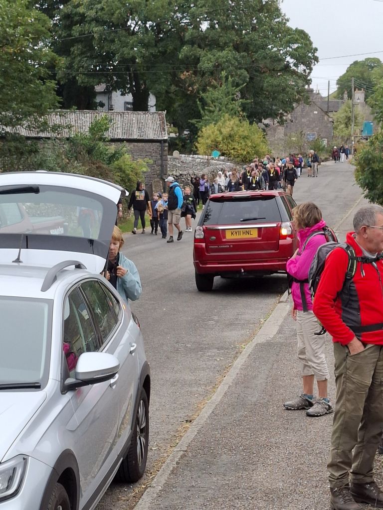

6 Aug 25 Timbersbrook Leaders: Mike & Linda, Length of walk: 7.5 miles, Driving Distance: 12 miles, Number walking: 14
Walk commences from: Timbersbrook Car Park (free), Weathercock Lane, Timbersbrook. Congleton CW12 3PS
or What3Words /// https://w3w.co/surfer.gagging.standards
Click here to see the route
The sun shone although occasional clouds kept the temperature down. A breeze also helped to keep the walkers comfortable on a very pleasant day for walking.
The route immediately took the group up Bosley Cloud, where the leaders kindly distributed flapjacks to the walkers. Bosley Cloud is a Marilyn, meaning it stands out from the surrounding landscape but it has also been listed as an Ethel – a list of 95 hills in the Peak District – despite sitting outside the national park boundary. While munching on their well-earned snacks the walkers looked around to see what they could make out with the aid of the viewfinder panorama on the summit. This indicated that various far-flung places were visible, but the haze on the day limited the view to old favourites like Jodrell Bank telescope, Congleton and the railway viaducts. The cry of “What’s that big white building?” was heard but didn’t get a sensible answer.
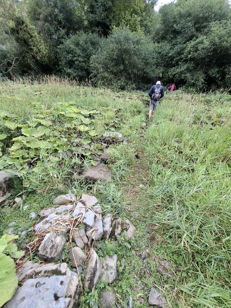
Having climbed to the top, the walkers then walked down the other side of the Cloud towards Rushton Spencer. On the way down they passed some wallabies (kangaroos?) lying down in their enclosure and failing to do anything interesting. They followed the path across the bottom of the valley and joined the old railway track. In the bottom of the valley there were opportunities for ripping out a very small portion of the many Himalayan Balsam plants that rampage across England’s green and pleasant land. Those who tried it found comfort in the activity.
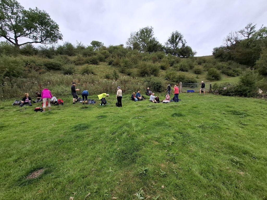
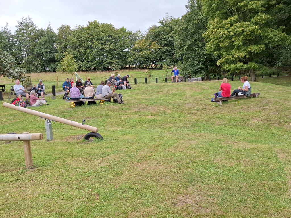
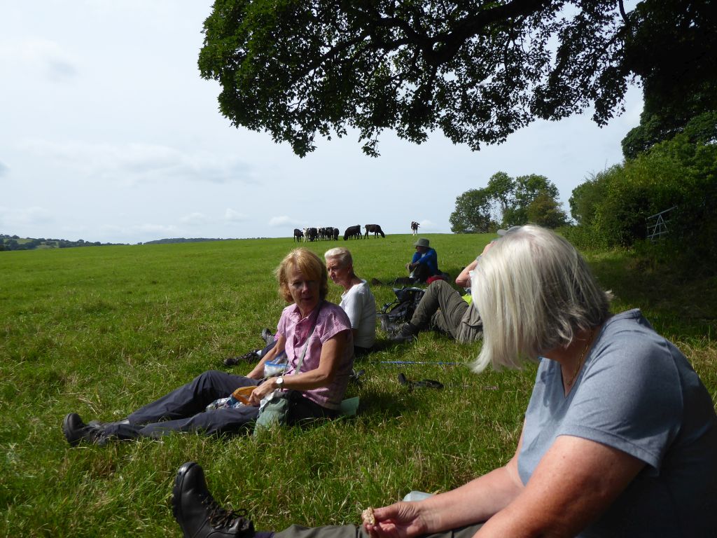
On reaching the Knot Inn, the group turned right climbing the hill on the edge of Rushton Bank and flopped down in a field at the top for lunch. One of the walkers decided that a concrete trough provided for watering cows would be a suitable place to sit and eat his lunch. Fortunately, it was dry.
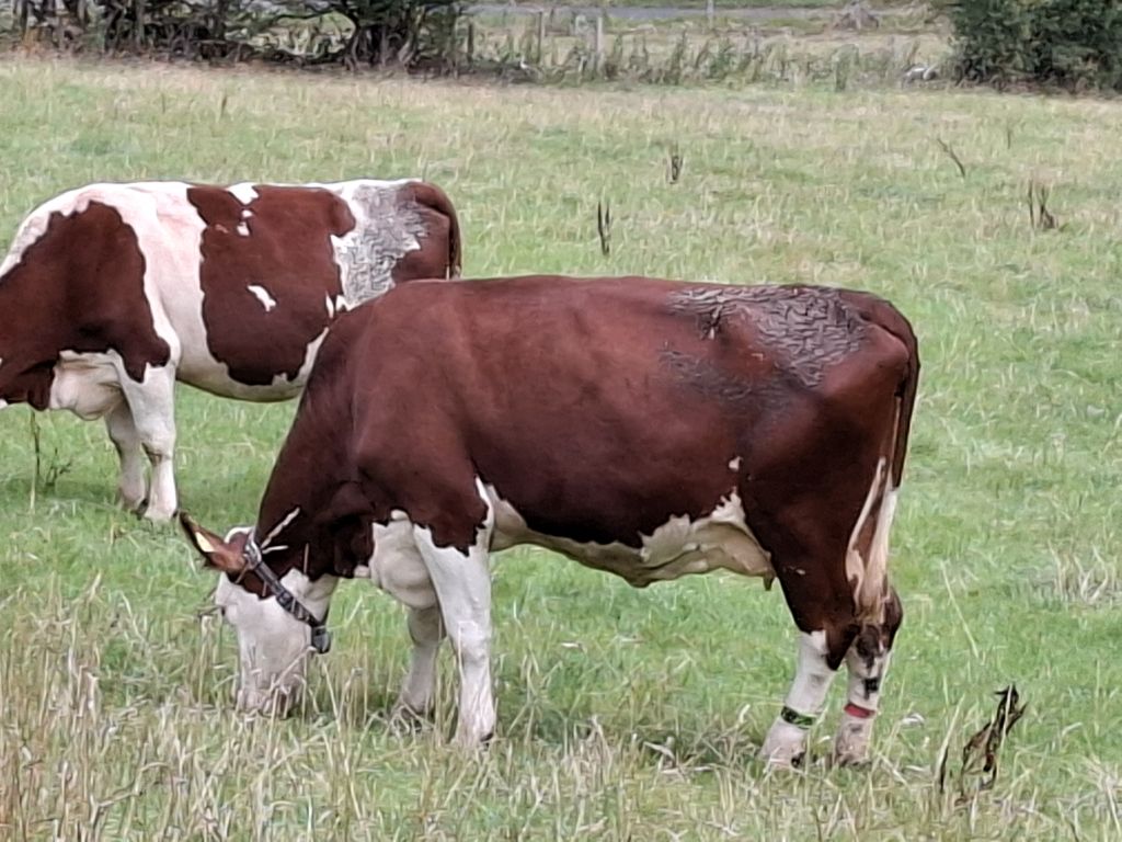
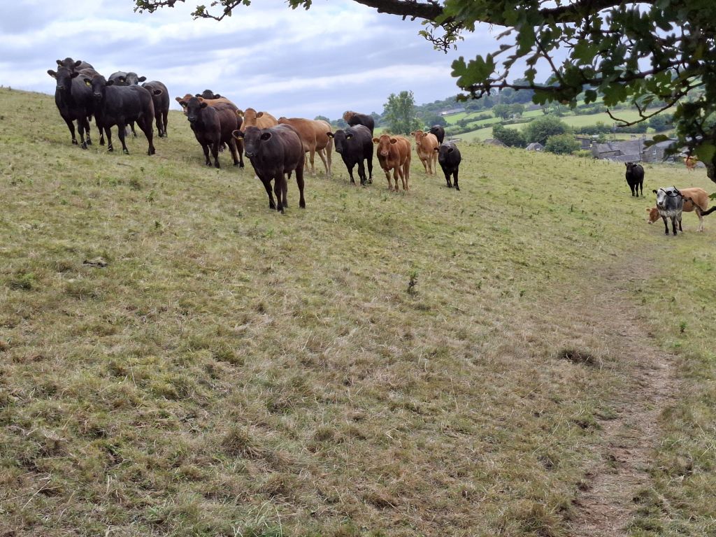
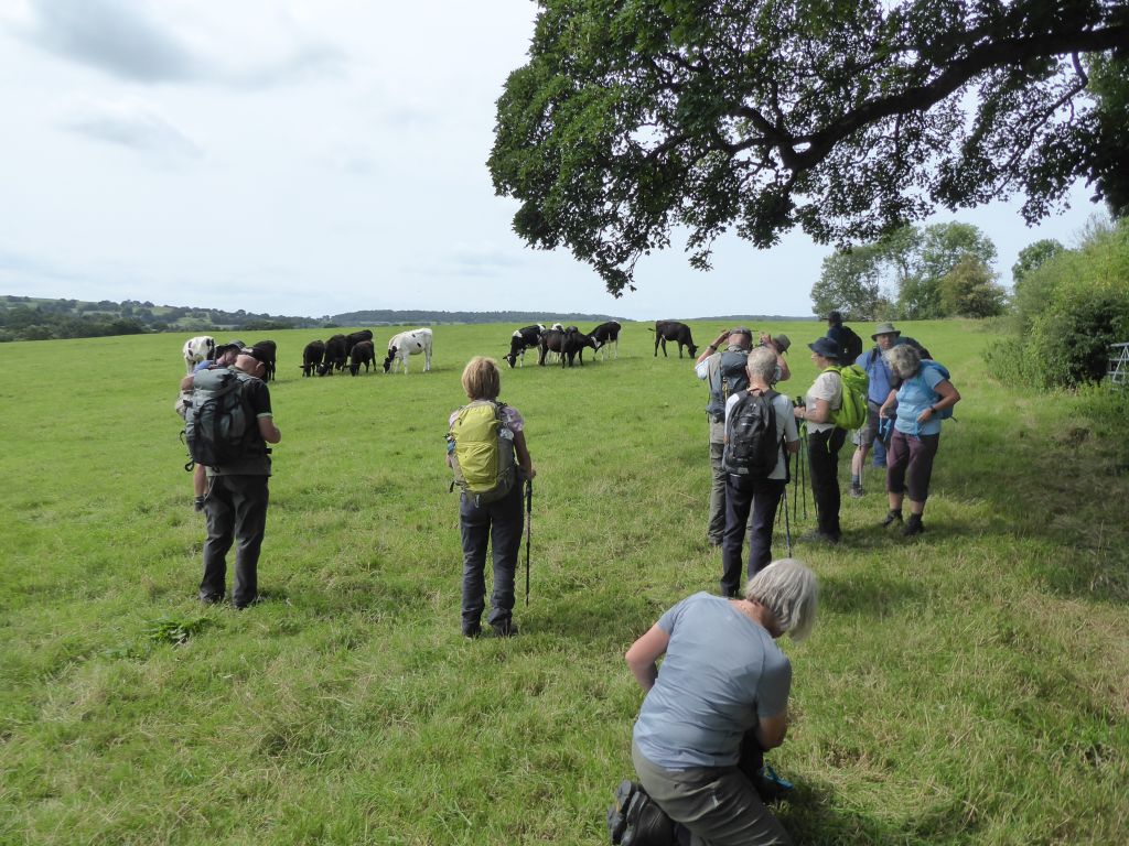
While the walkers were eating, a herd of young cattle arrived to greet the visitors. Some of the ladies expressed concern about the threat they might pose, but nobody ran from the scene and the two groups didn’t clash.
The next section of the route took in various fields and lanes lined with blackberry bushes, which provided a plentiful supply of early season berries. The hungrier walkers took advantage.
The group took a long rest near the top of Congleton Edge before climbing the last section along the road and passing the Bridestones burial mound. The leaders offered to visit the remains, but nobody needed to make the detour.
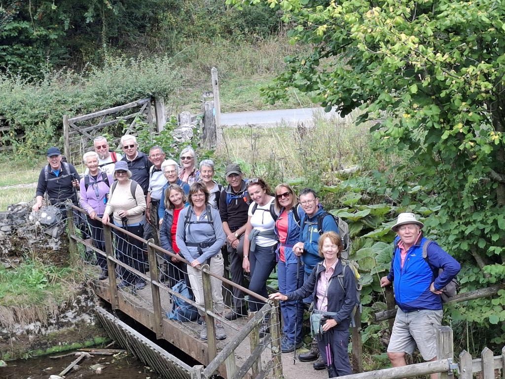
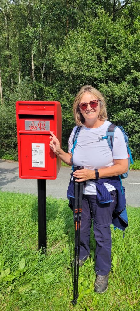
It was all downhill from there apart from crossing Timber Brook near the car park. For those who take an interest in these things, the post-box near the car park is labelled with the Charles III cipher.


20 Aug 25 Wetton to Thor’s Cave Leaders: Simon & Lynda, Length of walk: 9.5 miles, Driving Distance: 33 miles, Number walking: 18
Walk commences from: free car park at Wetton, DE6 2AF or What3Words /// https://w3w.co/superbly.elsewhere.spicy
Click here to see the route
Driving to Wetton saw light rain but it stopped before the start of the walk. The sky was overcast, and conditions were good for the walkers. Wetton was experiencing an invasion of folk to the tents that had been erected behind the car park where spaces were consequently limited. Nevertheless, the walkers all managed to coalesce and set off across fields to cross the River Manifold on stepping stones. As is frequently the case with this river, the water had disappeared, and the stones were obscured by the vegetation that had sprung up on the river bed. After the river, the route went through the campsite at the junction of the Rivers Manifold and Hamps. Experienced walkers will remember it for the appearance of a scrapyard with tents, but that description may denigrate someone’s treasured antiques.
The route followed the trail alongside the empty River Hamps until just before Waterhouses, when the leader announced that the walkers would now climb the nearest hill and go back. Before that, the walkers would receive cake and a Tunnocks caramel wafer (other brands are available but not on this walk). The leader was pleased that the number of pieces of cake exactly matched the number of walkers. It is curious that Paul pulled out of the walk at the last minute having found his car tyre punctured by a nail. There is no truth in the rumour that the walk leader has recently taken a delivery of nails.
Restored by the calories, the walkers set off across the fields to Grindon, where they ate lunch in the playing field outside the church.
After lunch the group crossed more fields and took the long downhill route down the curiously-named Ossoms Hill to reach the River Manifold at Wetton Mill.
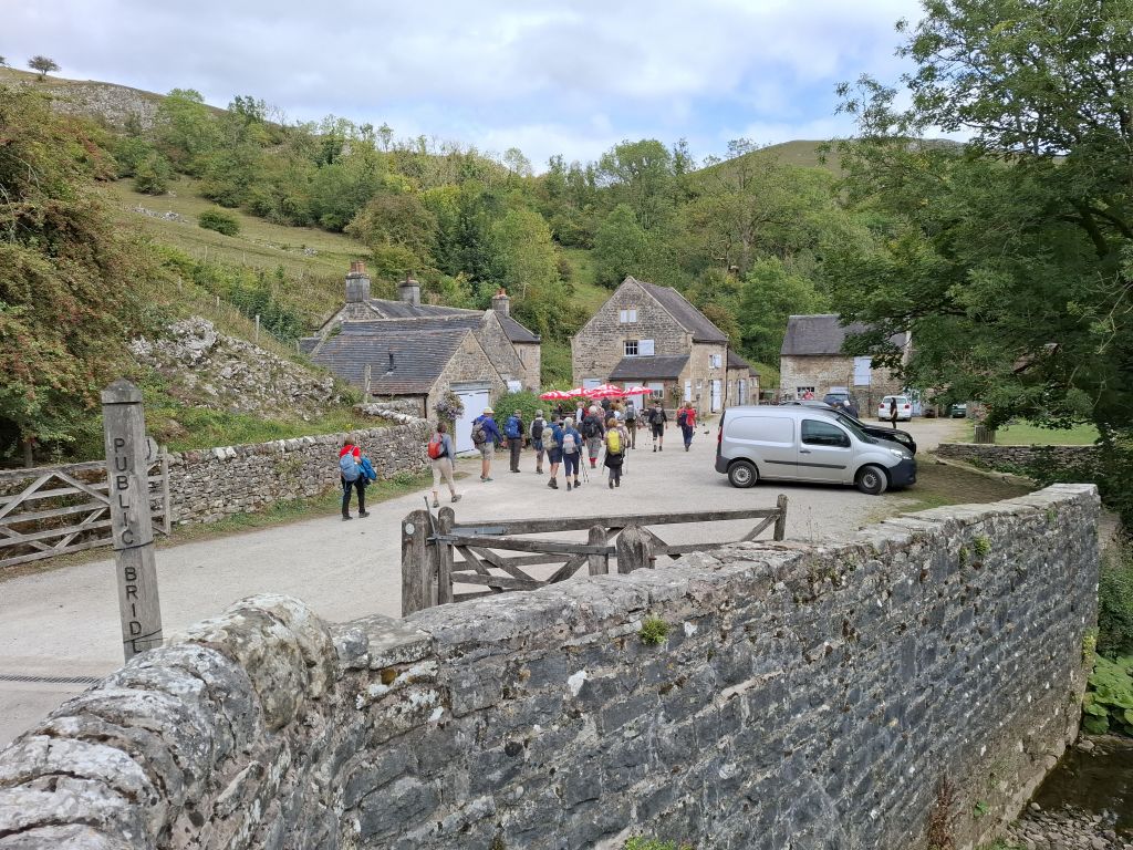
The river here has water and a shop adjacent offering toilets and ice cream, which were gratefully received by those in need.
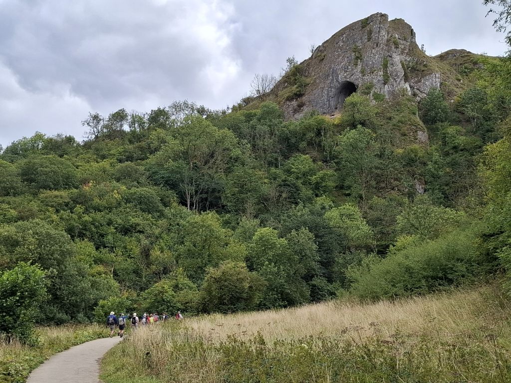
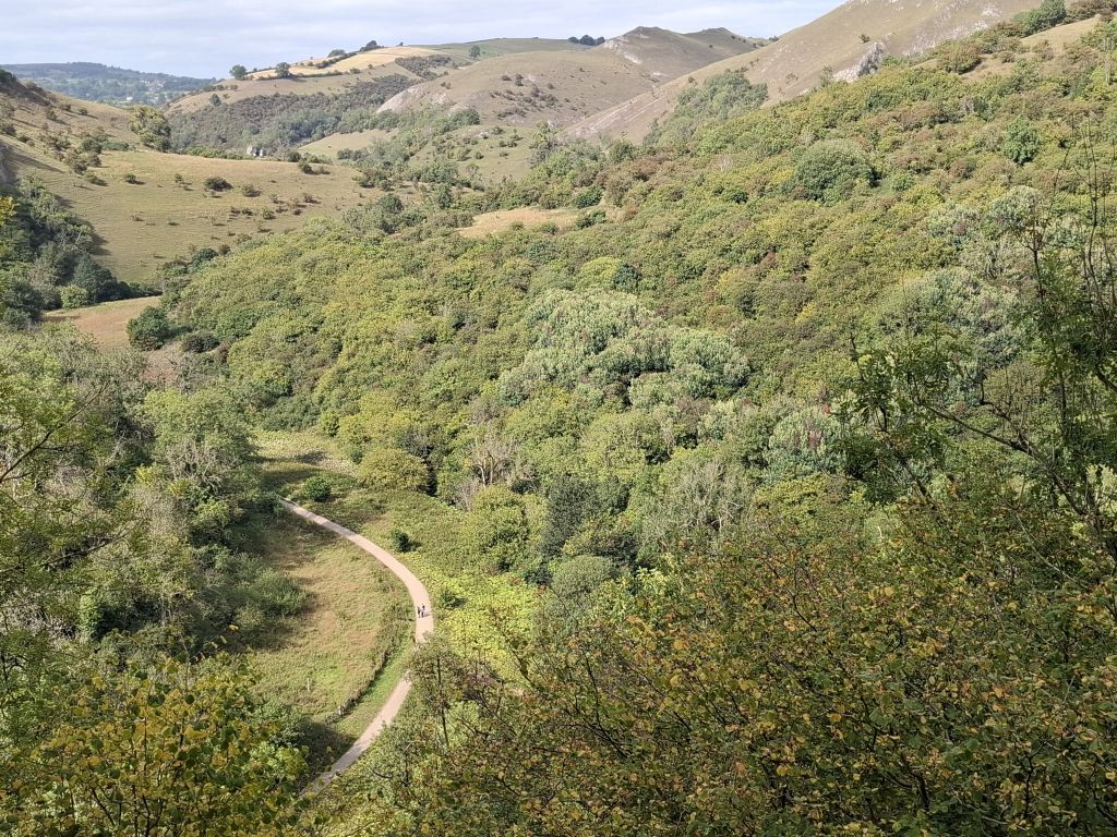
The footpath took the group out of Wetton Mill and over the hill to come down again to the same river in which the water had disappeared down its underground channel. The path approached Thor’s Cave, which looms over the valley from the top of a hill and while the steps up to it were hidden by trees from a distance, the walkers knew they were in for a climb. On the way up the steps, they heard blood-curdling howling noises, which reminded them that the explanatory plaque at the river level had claimed that bears used to roam the area. Later they were told that the howling had come from a socially awkward German shepherd (dog).
Thor’s cave has a flat area outside it, where walkers may congregate while they decide if they want to venture up the slippery rocks into the cave itself. Most of the group decided not to bother and Simon volunteered to take a picture to show everyone what they missed. They already realised that they avoided the risk of sliding out of the cave and down the cliff.
It was a short walk from the cave mouth to the top of the hill and along the path to the car park in Wetton.