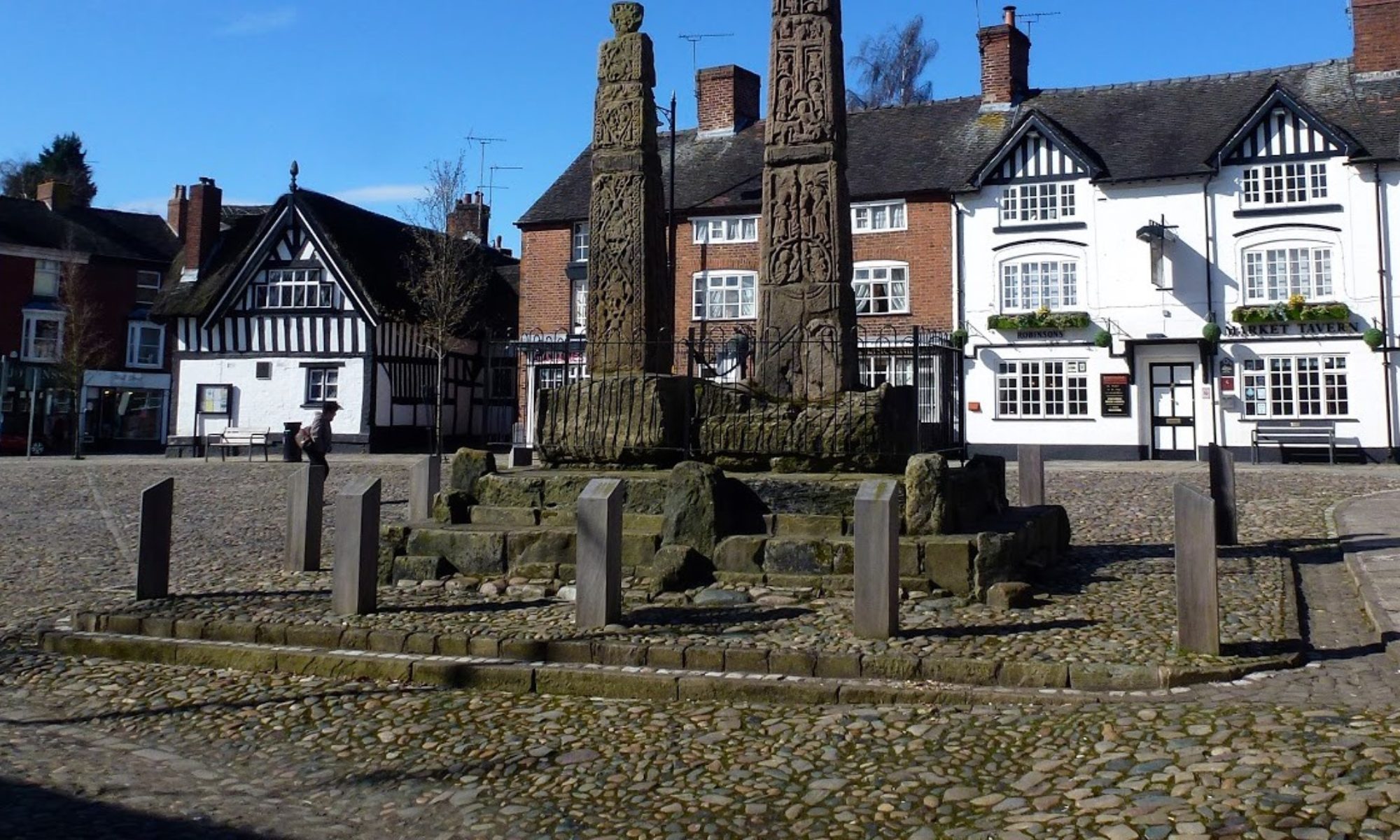

5 Mar 25 Sutton & Macclesfield Forest Leader: Clive & Helen, Length of walk: 9 miles, Driving Distance: 17 miles, Number walking: 20
Click here for a map of the route
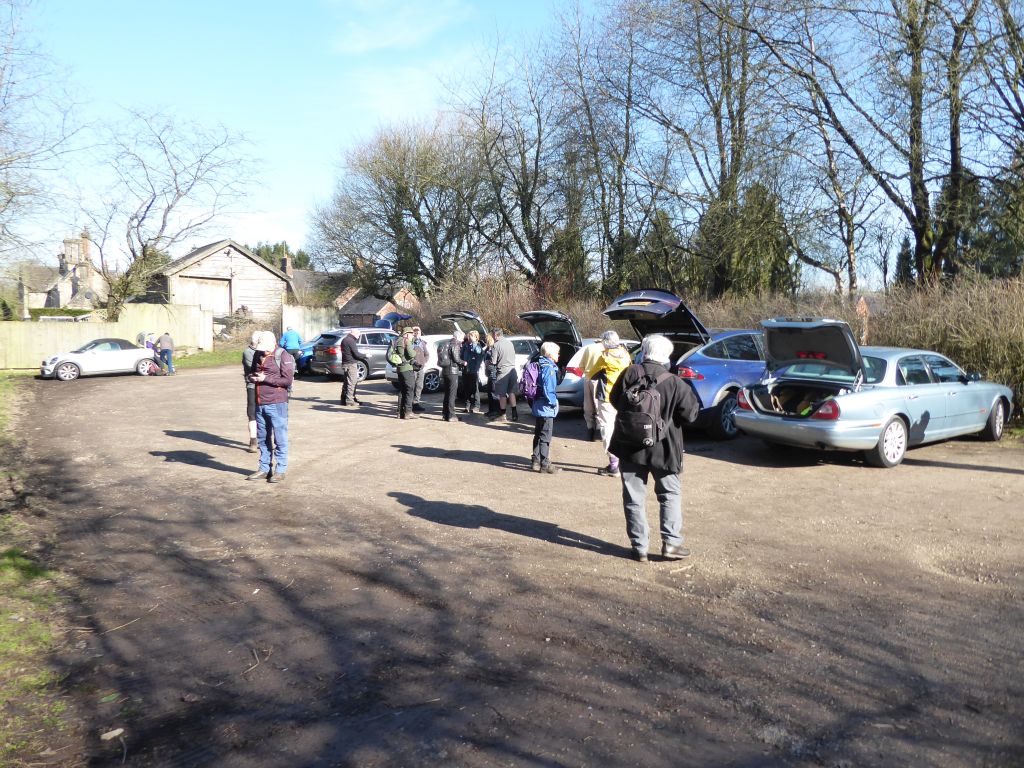
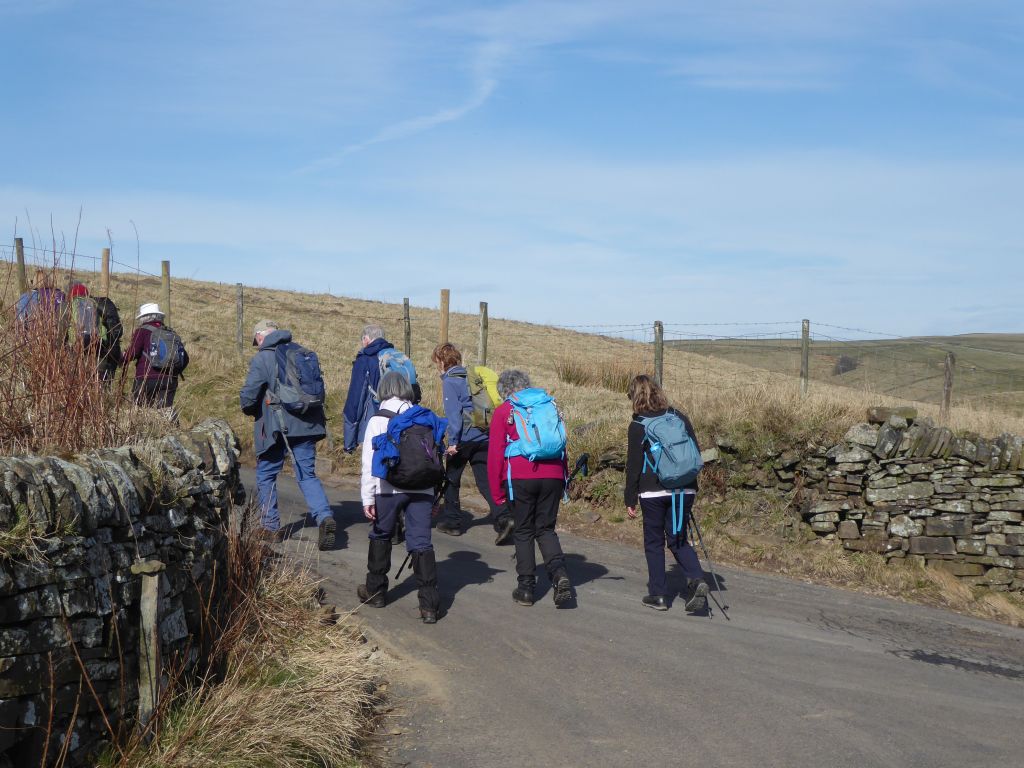
The day was sunny but cool and dry with a slight breeze throughout the walk. The car park at the Church House pub was quite spacious but the arrival of half a dozen cars before 10am sent the staff into a tizzy. First a barmaid came and then the landlady to remonstrate with the interlopers. When the landlady was reminded that she had agreed to host the cars and the drivers packed their vehicles closer together, calm was restored.
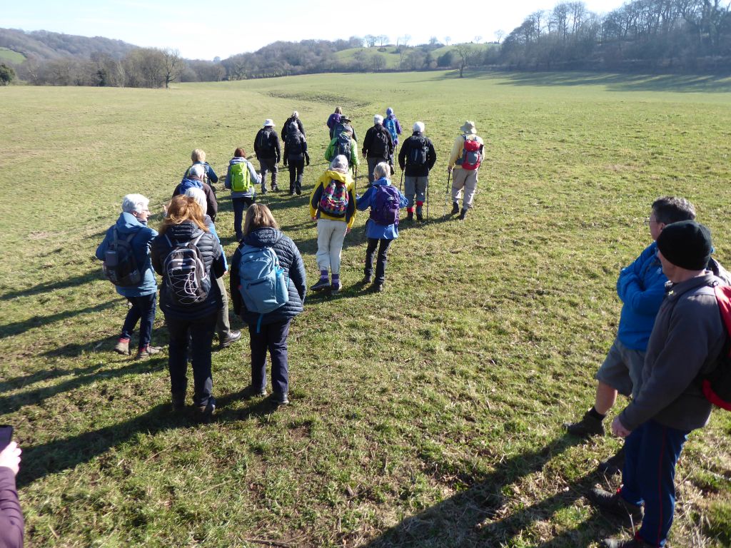
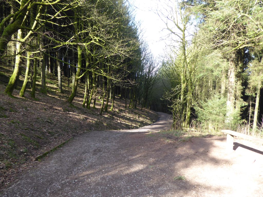
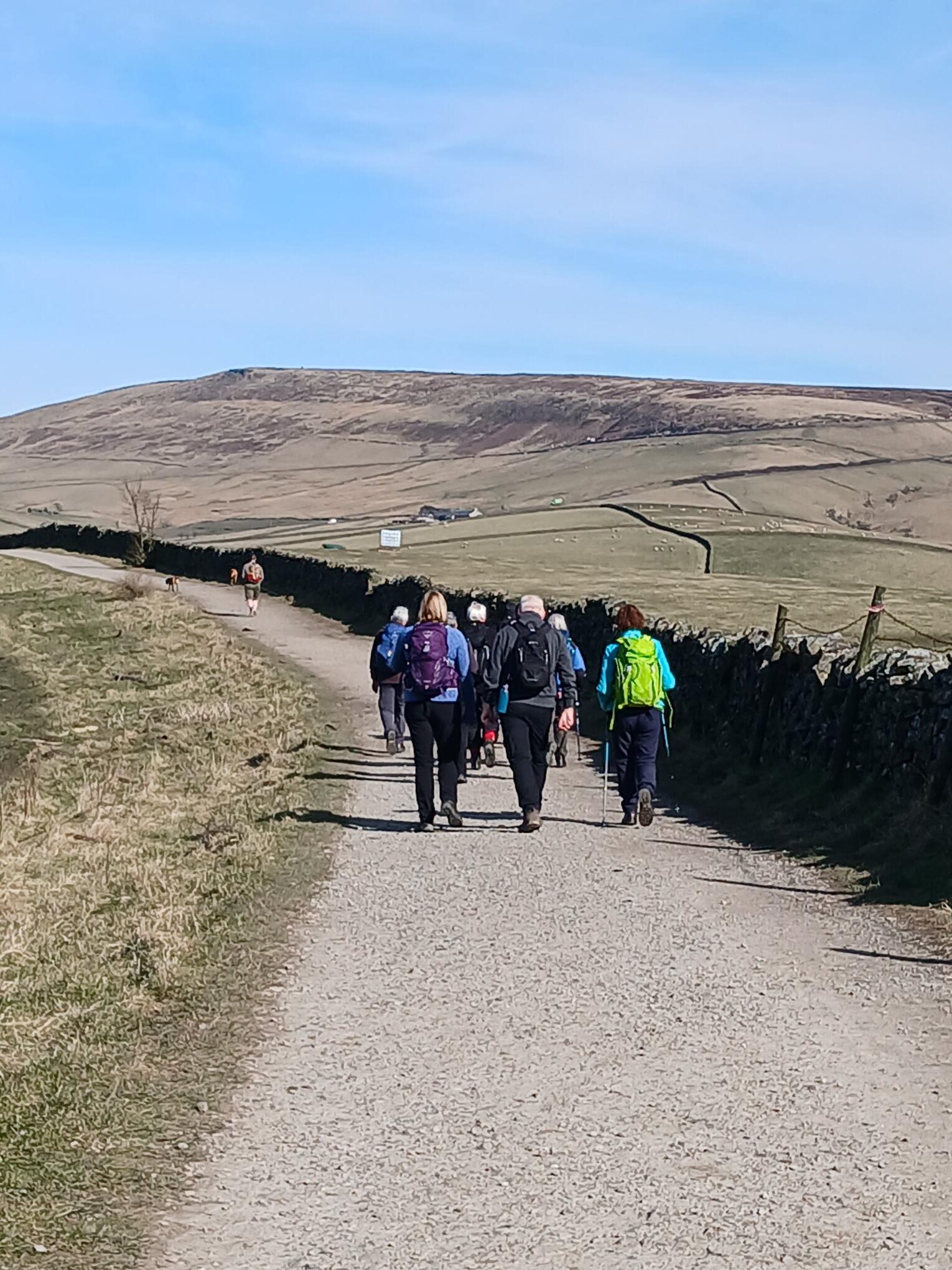
The walk went uphill right outside the pub and continued up the road for some to the top of the ridge. The route then crossed fields to reach Ridgegate Reservoir and entered the forest to reach Trentabank visitor centre, where the leaders dispensed either delicious Welsh cake or chocolate brownie to the hungry walkers.
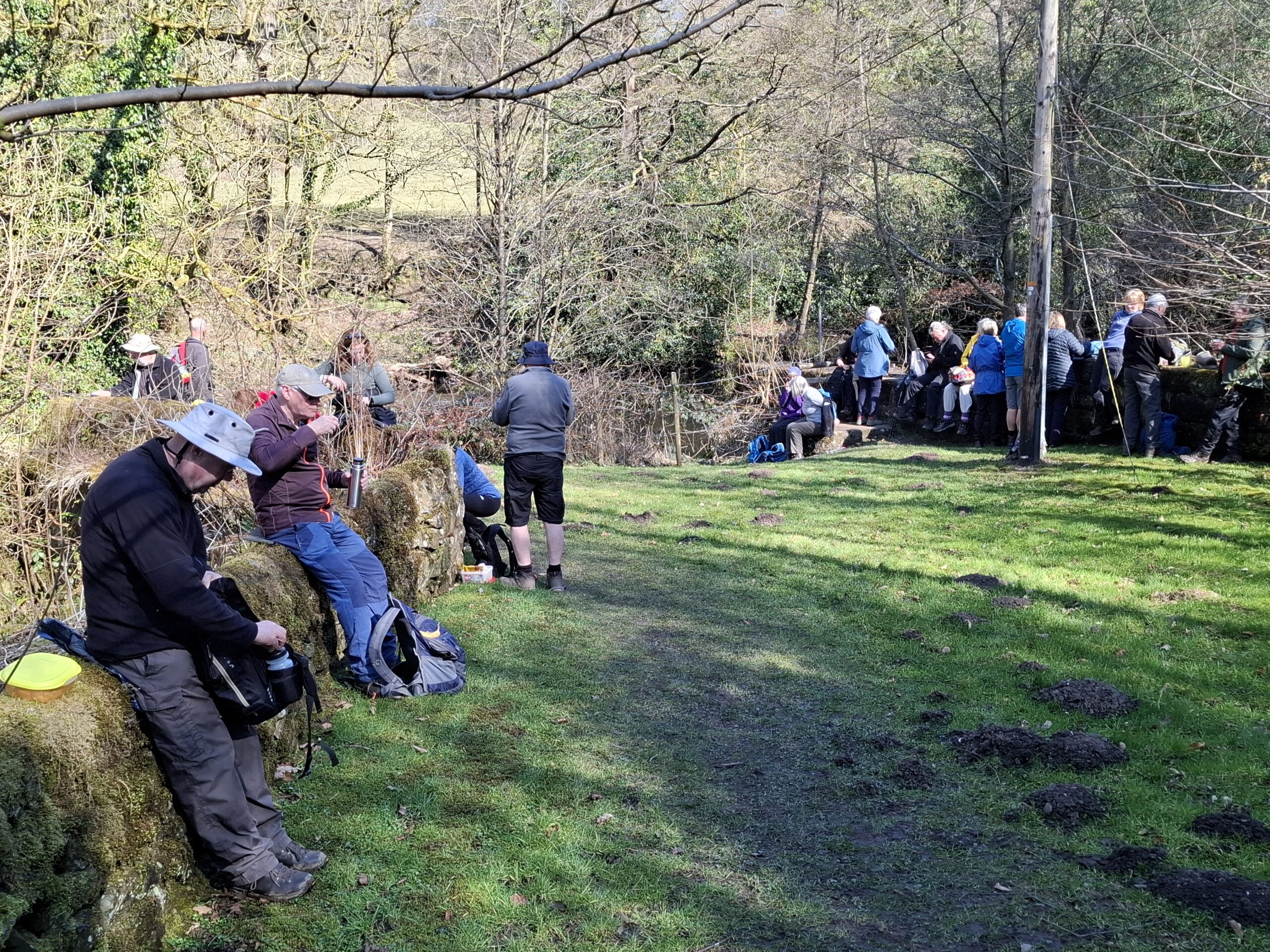
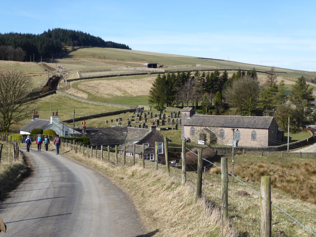
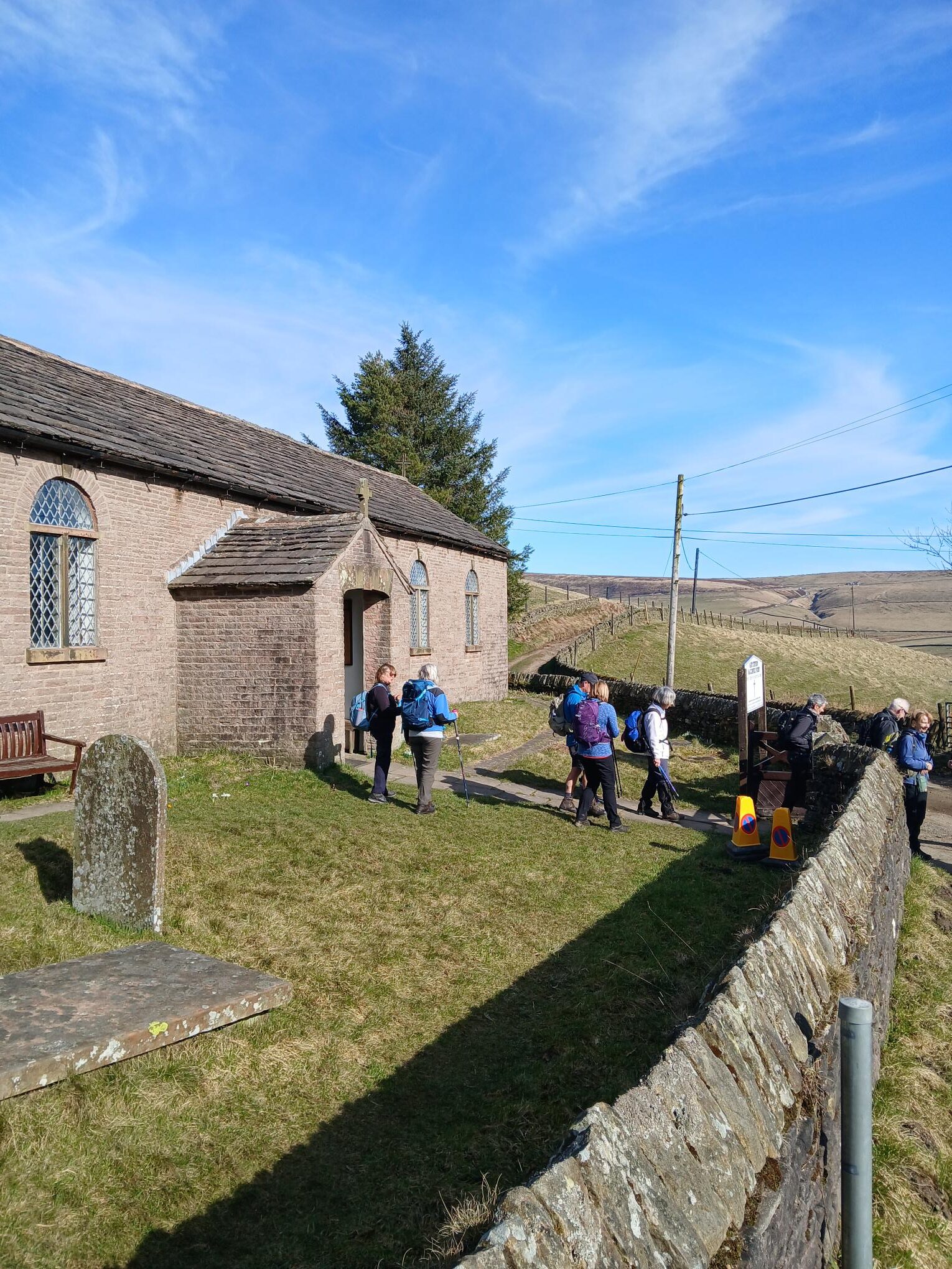
The climb then continued through the trees up to a road where the group made for Forest Chapel – the place appointed for lunch.
The first task after lunch was to climb the boulder strewn path to another part of the forest. The forest paths eventually merged into the road that passes the pub Leather’s Smithy. Here Martyn took new girl Dianne on a different rout back to Church House which avoided climbing up fields and walking down roads. The bulk of the party retraced the route that they had followed to Ridgegate Reservoir and were surprised at how different it looked the other way round. Not surprisingly the dissident pair arrived first to start taking refreshments and the other walkers joined in as they arrived.




19 Mar 25 Rushton Spencer to Wincle Leader: Lesley, Length of walk: 9 miles, Driving Distance: 15 miles, Number walking: 24
Click here for a map of the route
The sun shone throughout the day, although there were few walkers wearing shorts. In fact, only Rob.
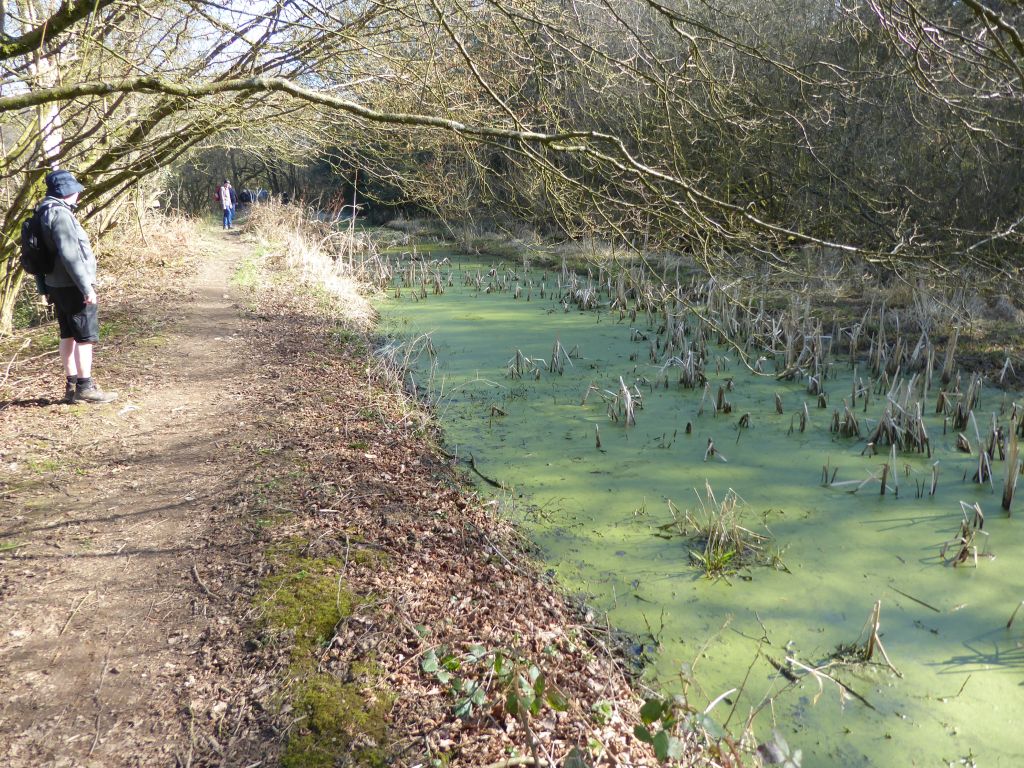
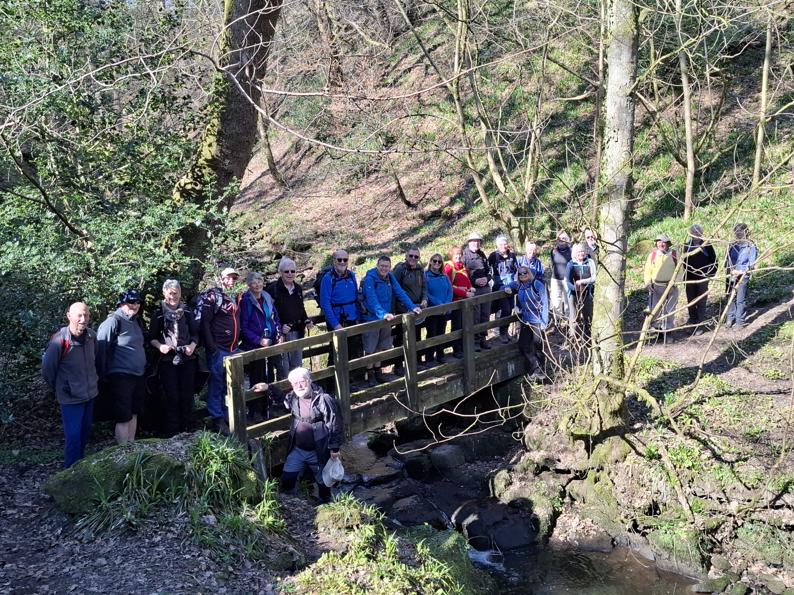
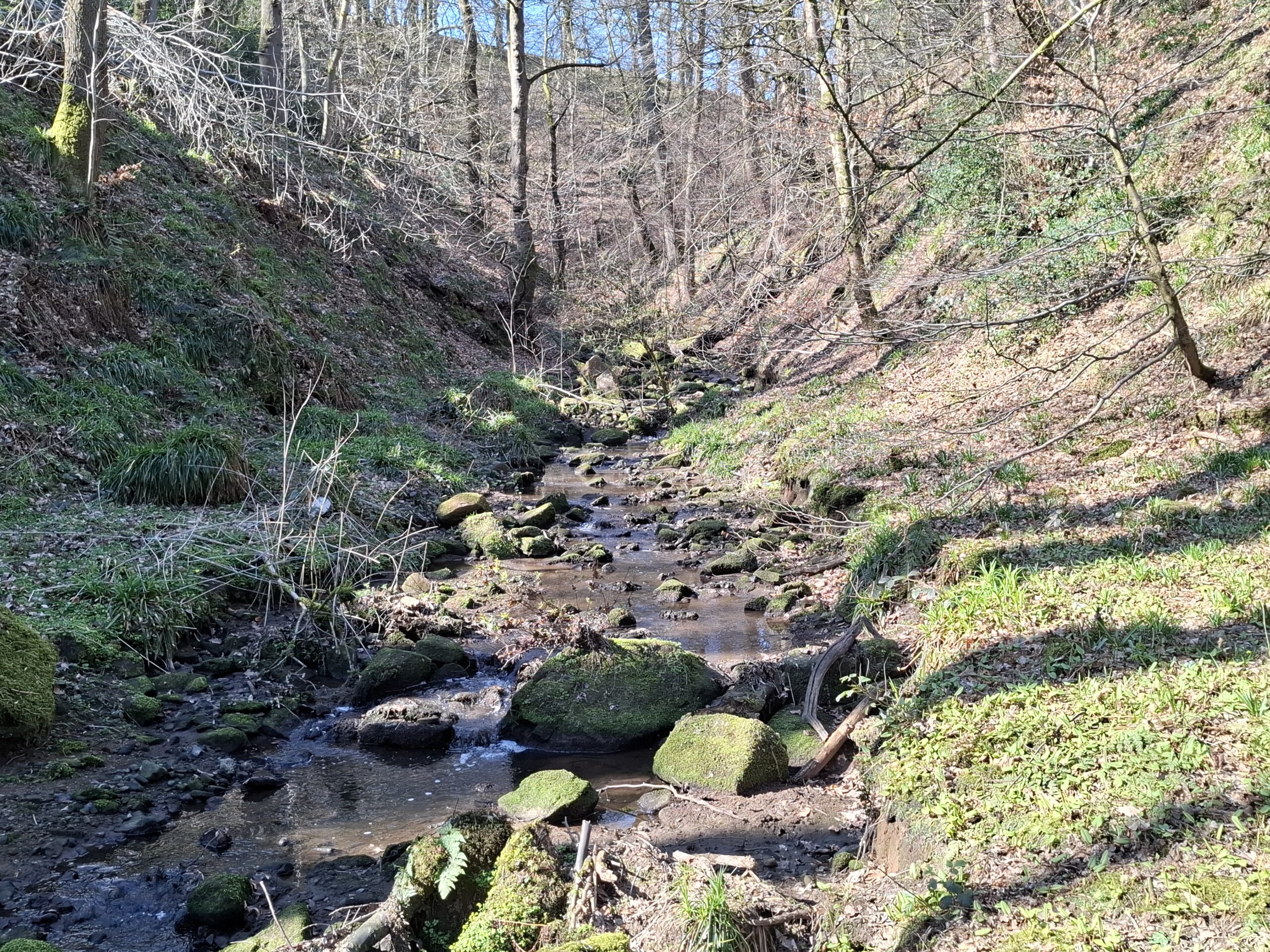
The route described a figure of eight starting from the bottom and intersecting on a bridge over the leat that used to take water from the River Dane to Rudyard Lake for the Caldon Canal. Two employees of the Canal and River Trust encountered en route revealed that the flow no longer delivers water from the Dane. This explains why the leat is so stagnant and silted up in parts.
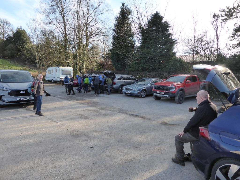
From the car park next to the Knot Inn, the route followed an abandoned railway line north until it met the Dane Valley Way (DVW). The group turned east along the DVW on the path beside the leat. At the point where a weir on the Dane used to force water into the leat, the group stopped for coffee, before continuing alongside the Dane until the Wincle Brewery at Danebridge.
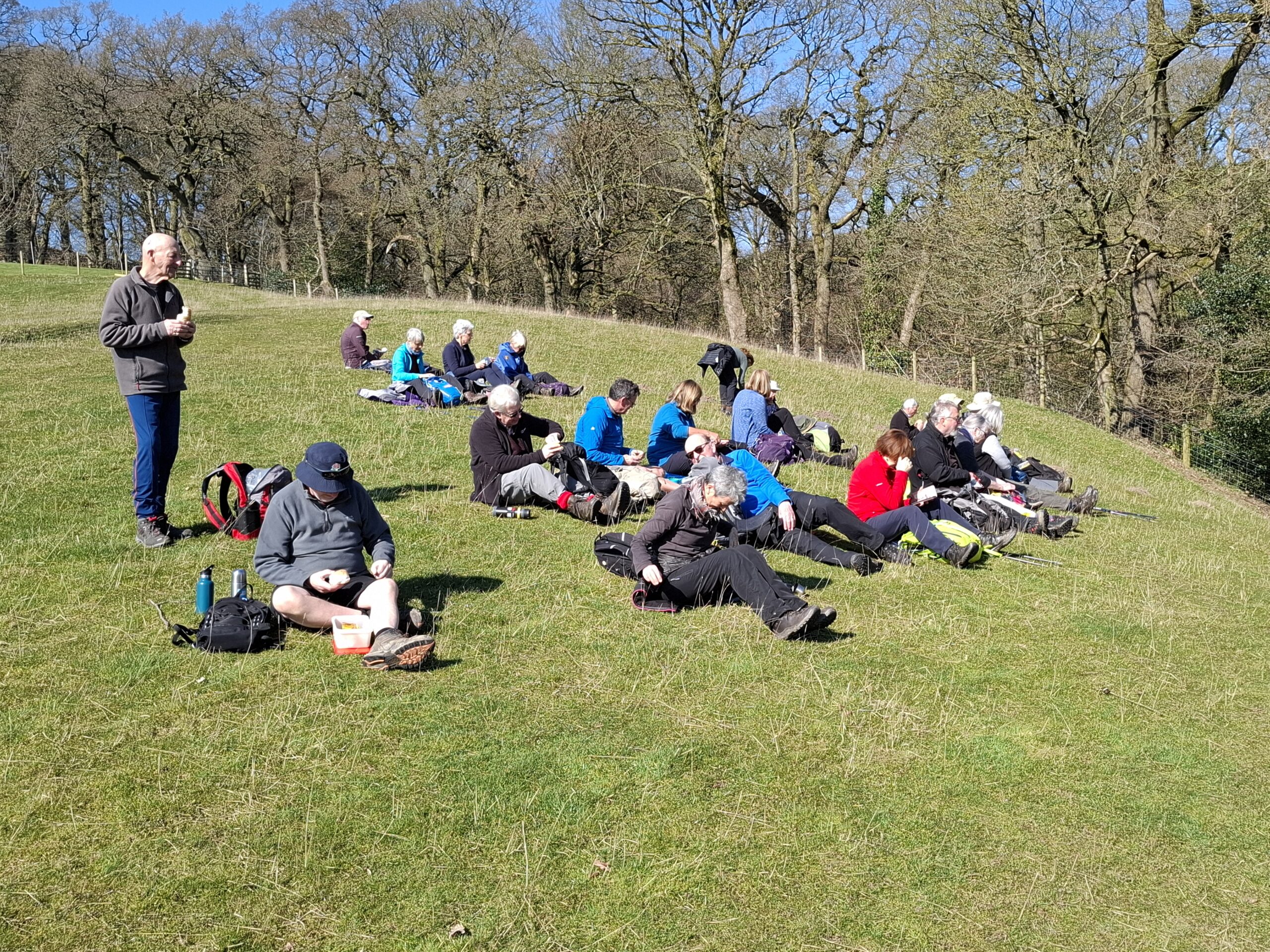
At this point the leader described the next stage as the (singular) uphill section. It was in fact, the first of a few uphill sections as the route explored Wincle and the surrounding area. Lunch in the sun was taken on a hill overlooking the Dane valley.
After leaving Wincle church behind, the route avoided built-up areas until the group returned to Rushton Spencer. With the sun still beaming down, the group sat on the Knot Inn benches for a well-deserved drink.