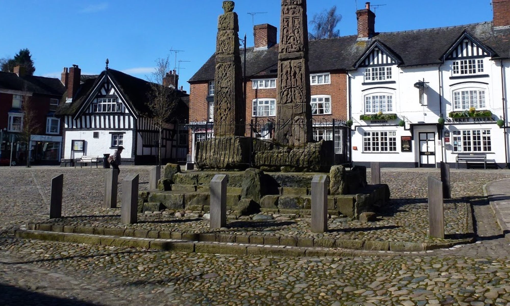

4 Sep 24 Mam Tor Leader: Janet, Length of walk: 10 miles, Driving Distance: 35 miles, Number walking: 14
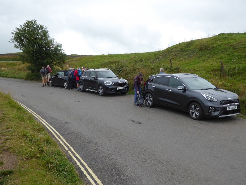
Parking is on the old Mam Tor road (under Mam Tor), signposted for the Blue John Cavern (w3w dislikes.prestige.inserted)
Click here to see a map of the walk.
The weather was dry at first, but a few showers turned up without causing much excitement.
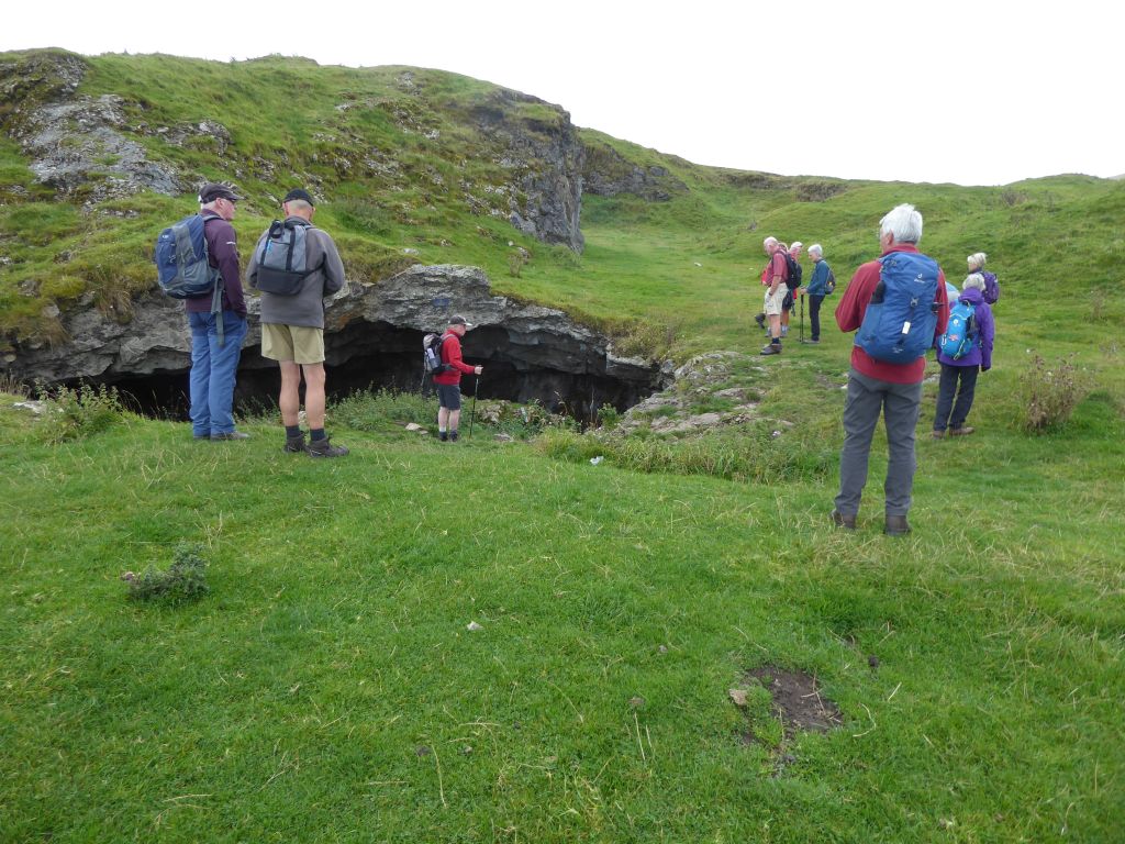
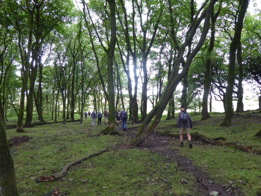
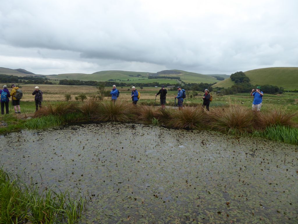
From the parking place on the road below Mam Tor, the group strolled to Windy Knoll and peeped in the hole before carrying on south through empty countryside.
The route went along Oxlow rake – the remains of a mining venture that followed the vein of ore and churned up the earth as a reminder of the effort put in by the miners.
When the group reached the southernmost point of the walk, they returned north to continue the circumnavigation of Eldon Hill, a striking feature that was heavily quarried for roadstone between 1950 and 1999. It is now a very visible rebuke to the planners that allowed the hill to become an eyesore.
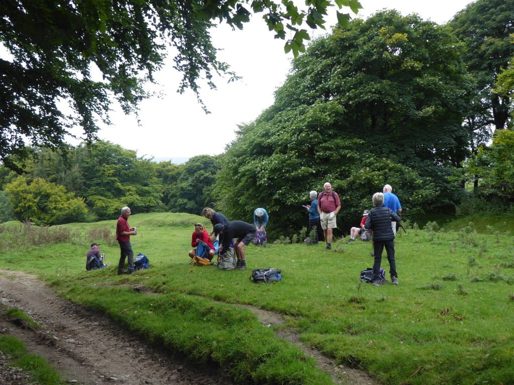
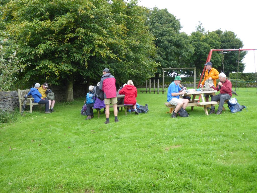
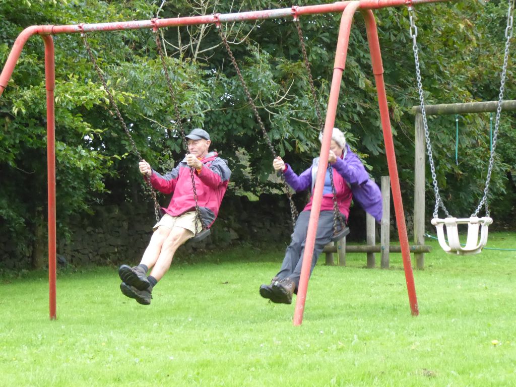
After Beytonsdale and Perry Dale (less well-known dales in Derbyshire) the group reached Sparrowpit for lunch in the children’s play area, which conveniently has benches and picnic tables. The workmen who arrived to cut the grass in the rain kindly started away from the walkers, who left before the workmen had to ask them to lift their feet. Some of the walkers tried the swings but, on the low seats, were wary of letting their feet hang low and crash into the ground.
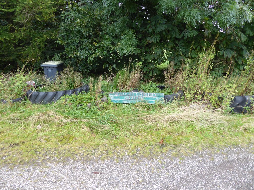
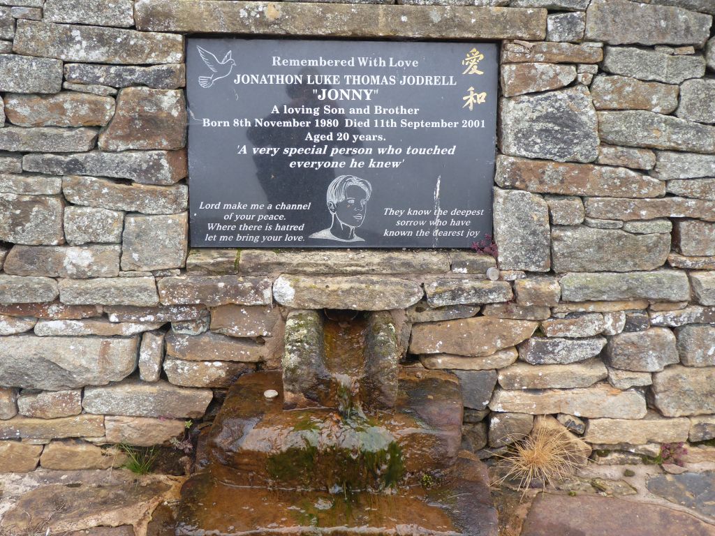
After lunch the route led across the valley past the private memorial site to lost relatives and the group climbed the steep road past Rushop Hall to reach Rushup Edge. You really need to pay close attention to the spelling of the names in the area to get them right, although it’s hard to know how many people these days would notice spelling errors.
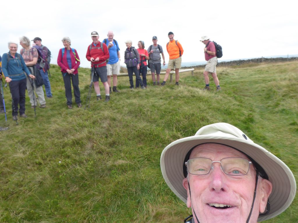
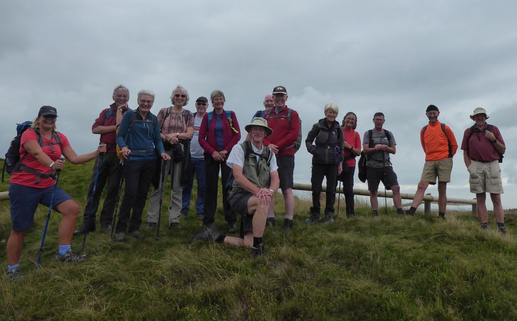
Rushup Edge goes up for a long time, so the walkers were pleased to have a rest when they reached Lord’s Seat, an ancient grave site. The National Trust sign asking visitors not to climb on the mound was on the far side from where the fence was broken, so that’s how the outrageous behaviour occurred.
The group paused at Lord’s Seat longer than they needed to gather their breath and take a picture because a daredevil attached to a parachute appeared to be ready to hurl himself into Edale. When he indicated that the updraughts were insufficient to sustain a safe flight down, the walkers lost interest and walked down to the cars. The option to climb Mam Tor at the very end of the walk was not taken. Most of the walkers done it before and the newbies were not minded to insist.
16 Sep 24 Monsal Trail Leaders: Lynda & Simon, Length of walk: 8.2 miles, Driving Distance: 35 miles, Number walking: 16
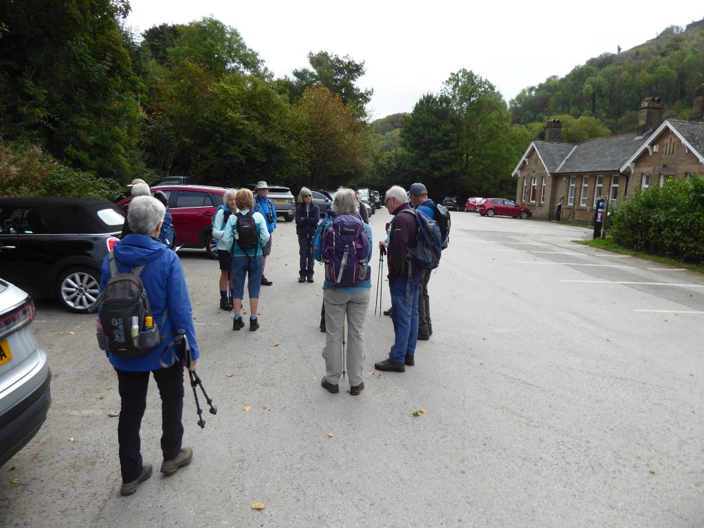
Start at Miller’s Dale car park on the Monsal Trail
(SK17 8SN, W3W: bumping.stable.realm)
Click here to see a map of the walk.
Most of the walkers arrived in good time but the back marker was unable to resist the temptation of visiting Tideswell, so was faced on arrival with the massed ranks of walkers ready to go. People are so impatient these days!
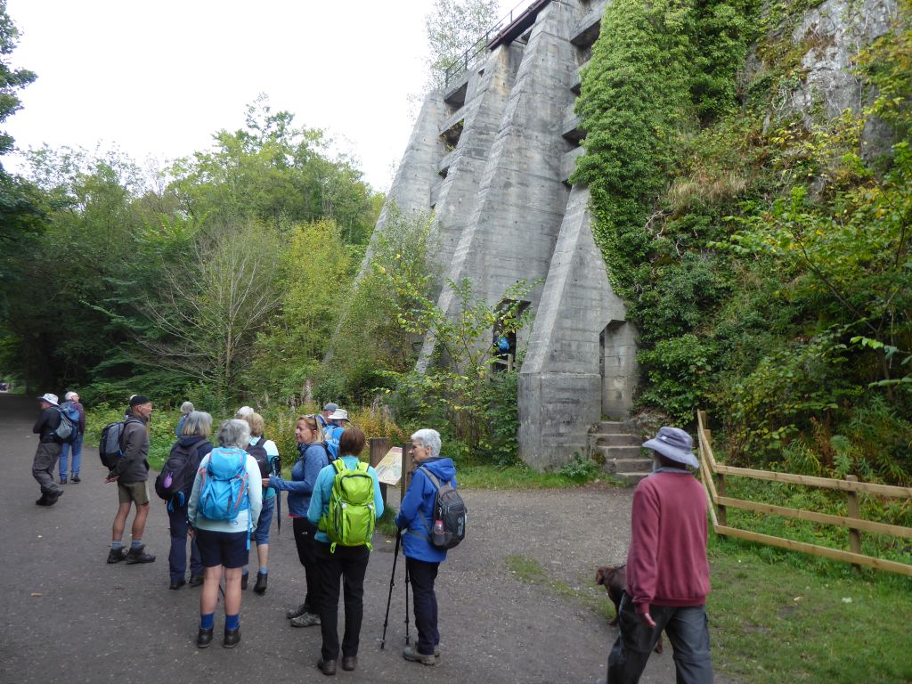
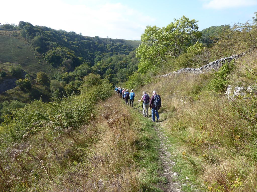
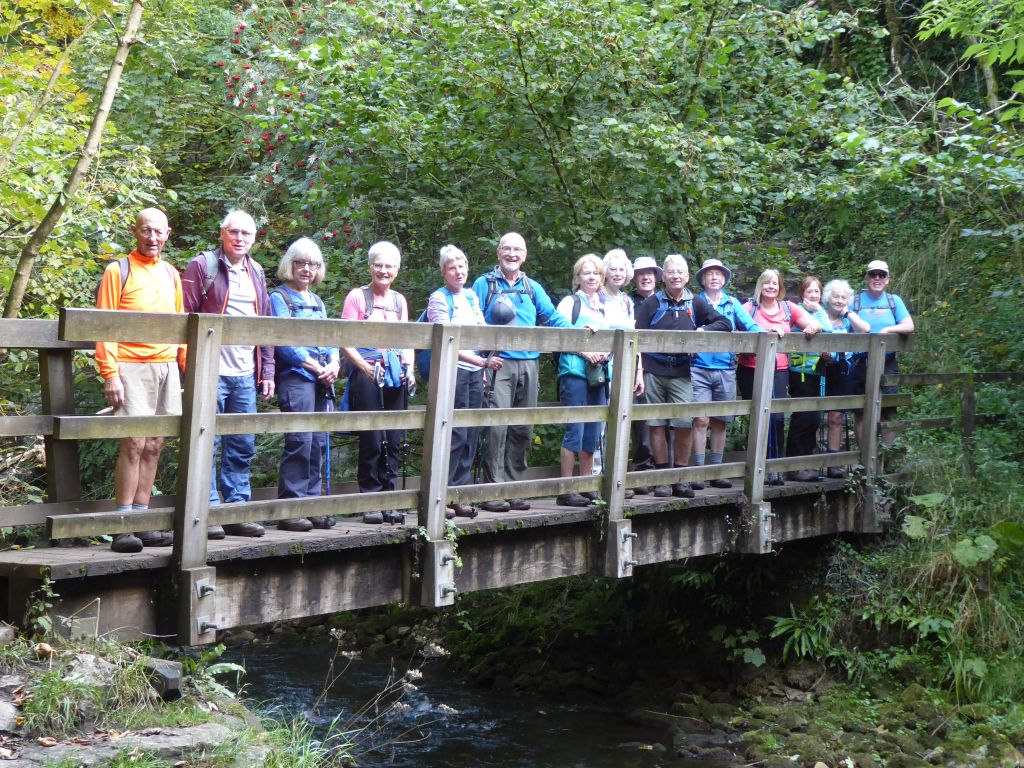
The sun was shining and there was talk of cake as the group set off west along the old railway track. The route left the railway track to go north through Chee Dale nature reserve to Hassop Farm.
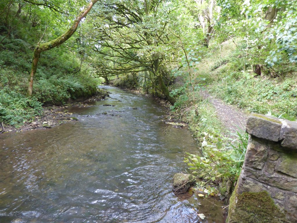
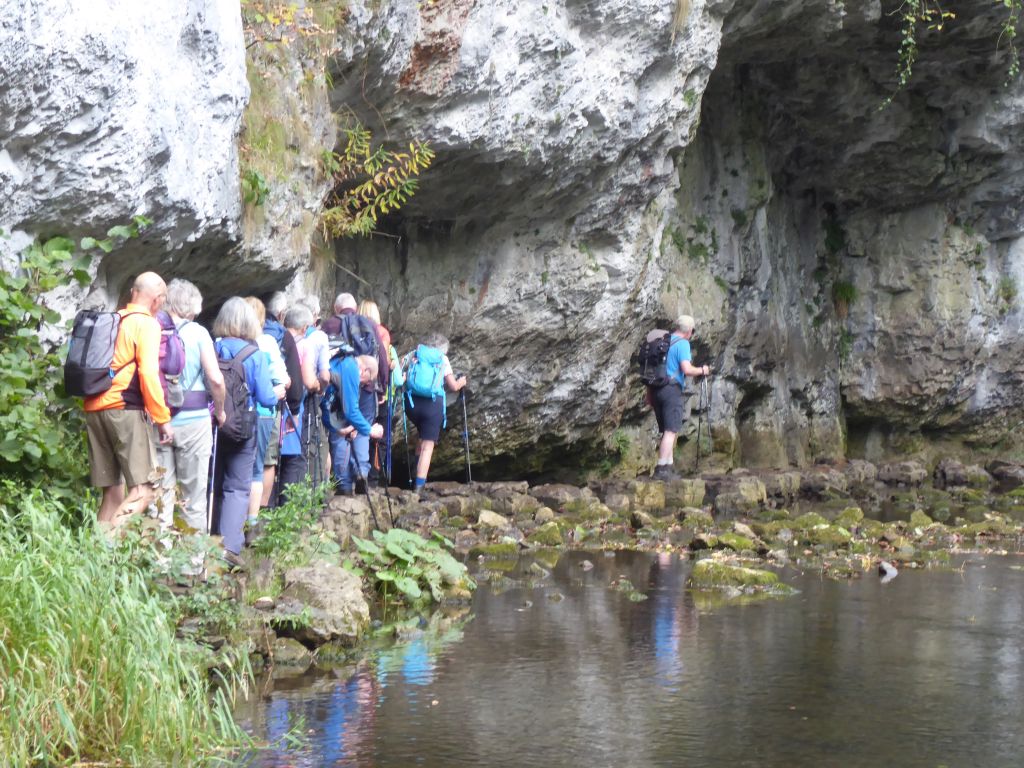
The route along the River Wye included stepping stones, which required considerable care as the space was shared by numerous children and wet dogs. The children and dogs were very well-behaved; none of them shook water over the walkers.
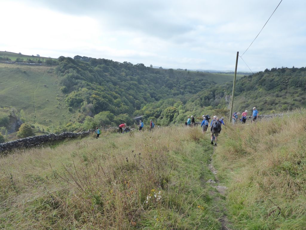
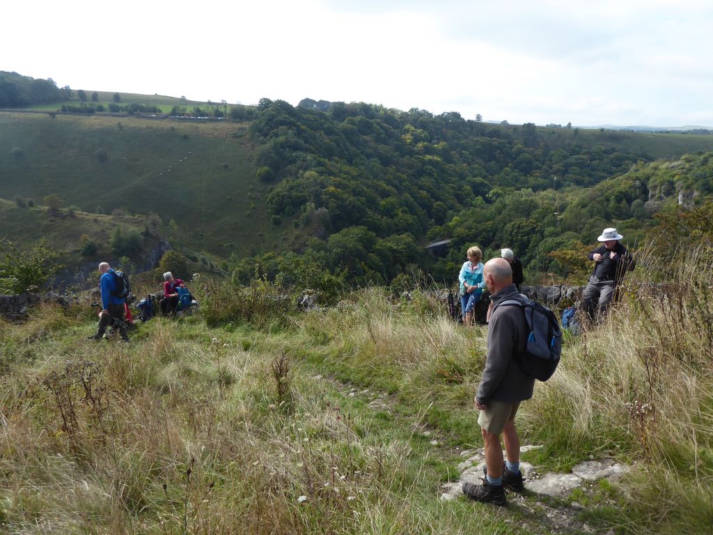
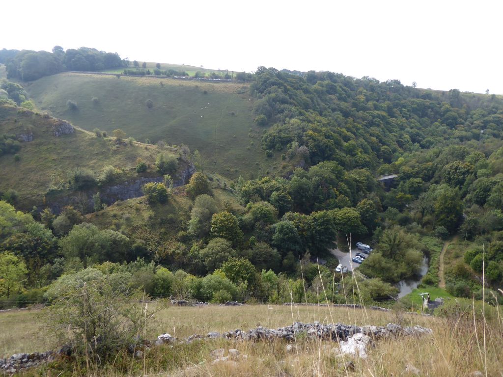
The sunshine and the talk of cake continued as the group turned south down the Pennine Bridleway to Chee Dale. Only when the leaders reached a spectacular spot overlooking the Wye Valley did the leaders actually release the cake to the walkers during the coffee stop. According to those in the know, an unrelated group sharing the same view were enjoying cannabis rather than cake. Both of these commodities are likely to be taxed by the new socialist administration.
After enjoying the delicious cake and view, the walkers took an easterly route alongside the Monsal Trail until they joined the trail and went west again. The great thing about this convoluted route is that the map fits on a small piece of paper.
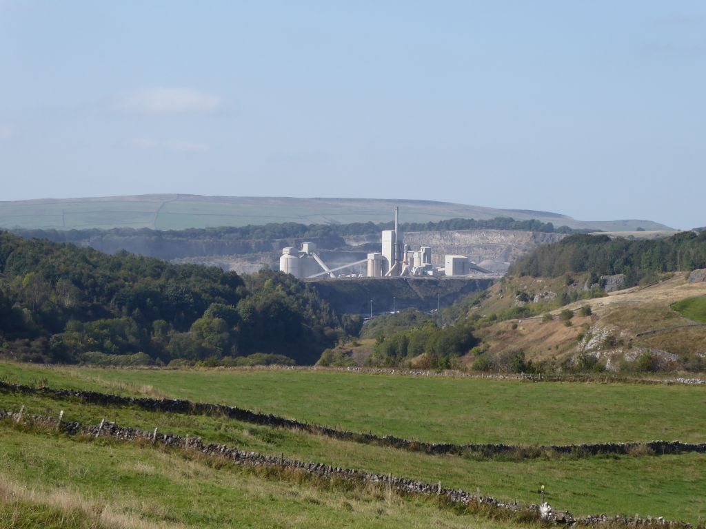
When they reached the spot on the other side of the River Wye from the coffee stop, the walkers left the trail for a high point for lunch with a grand view of the Tunstead Cement Works. The supply of cake continued with the heart warming story of how the leaders met 50 years earlier as one of them tried to help the other retake the General Science exam successfully. The effort was in vain, but they are still together.
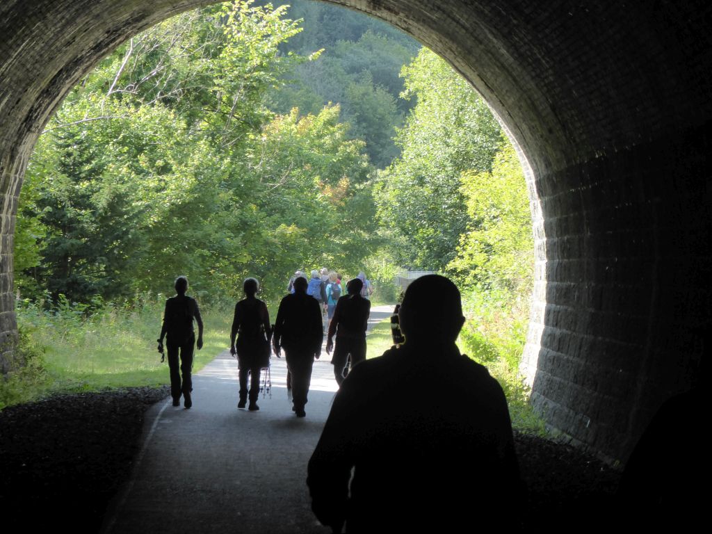
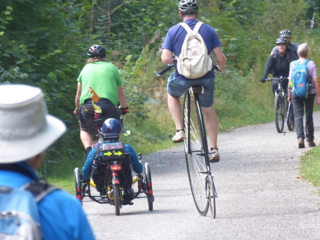
After lunch the group headed east again across country to join the Limestone Way and re-joined the railway track on the Monsal Trail back to the cars, where the café tempted some of the walkers to delay their journey home.