If you have no time to read the uplifting text on this page but you want to see some pictures, click on the link to see Ralph’s glorious images on YouTube with movement and music.
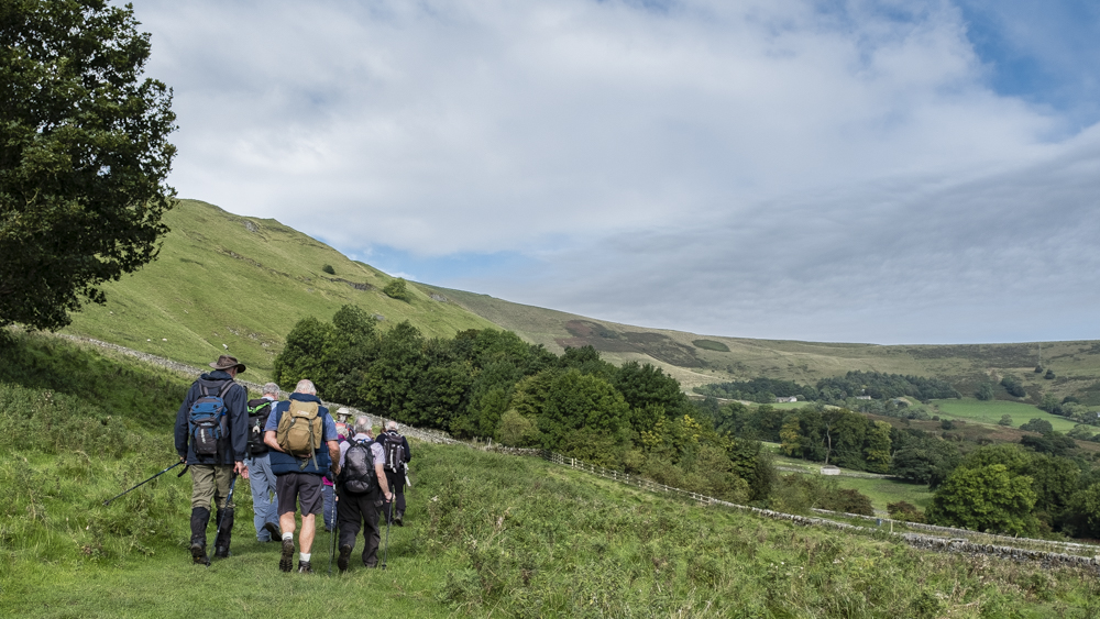
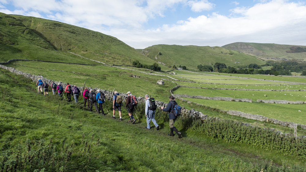
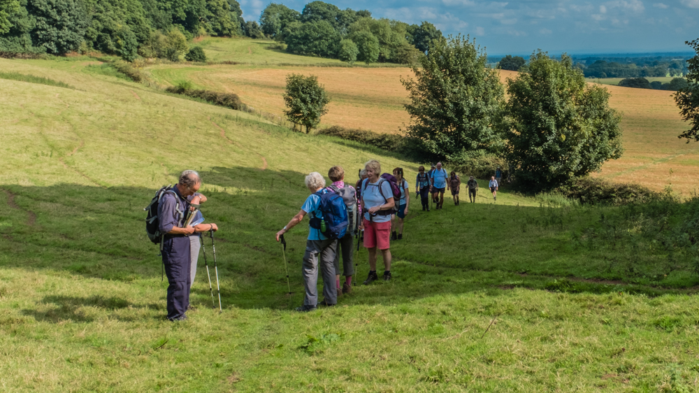
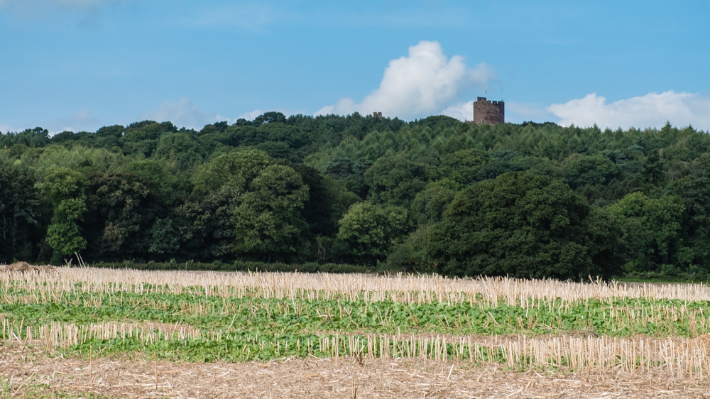
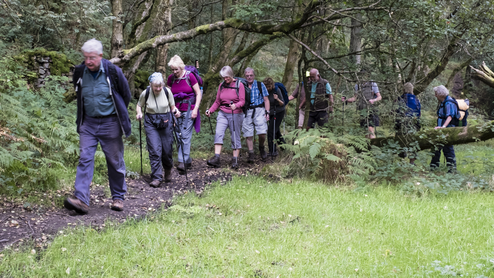
7 Sep Walk Leader: Keith Haines Beeston Castle Drive to start of walk: 20 miles Length of walk: 9.5 miles Number walking: 20
The day was sunny but not too hot, which was handy as we could not start walking until we had paid for the car park outside Beeston Castle. Because the pay & display machine was broken, we had to pay in the ticket office which opens at 10am. On the way in we noticed that the English Heritage notice claims that one can see eight counties from the top of the castle. This prompted much earnest discussion in true U3A style as to the identity of the eight. Rather than guess the counties for ourselves, the ticket office staff were prevailed upon to supply the names. This revealed an uncertain grasp of geography as one of the counties supplied was “Pennines”. You can possibly work the counties out for yourselves but don’t forget the counties in Wales and modern manifestations such as Merseyside and Greater Manchester.
Our leader gave us frequent talks on the items of interest we passed but omitted some intriguing snippets. John Tollemache, who built Peckforton Castle in the 19th century, introduced kangaroos into Beeston Castle grounds to make it more exotic. This was after JMW Turner, the go-to romantic landscape artist of the period, painted the real castle in 1809 and centuries after the Civil War, when the Royalist defenders of the castle were reduced to eating cats before they were forced to surrender.
On the way to Peckforton we skirted Peckforton Moss, which is subject to a process of restoring this wetland to its earlier, more interesting condition. It was formed as the last age glaciers retreated and has been drying out ever since. There was no sign of water as we passed but the scientists will keep working at it.
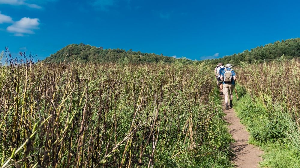
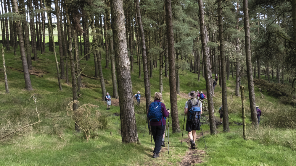
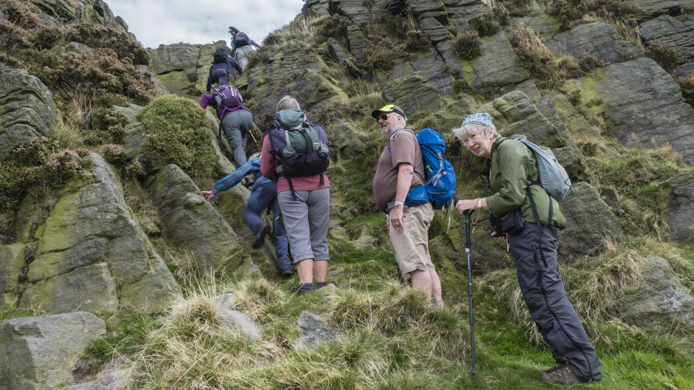
We ignored the entrance to Peckforton Castle and took a later path up the central Cheshire ridge. Blackberries were abundant but not very tasty so we didn’t spend much time on foraging.
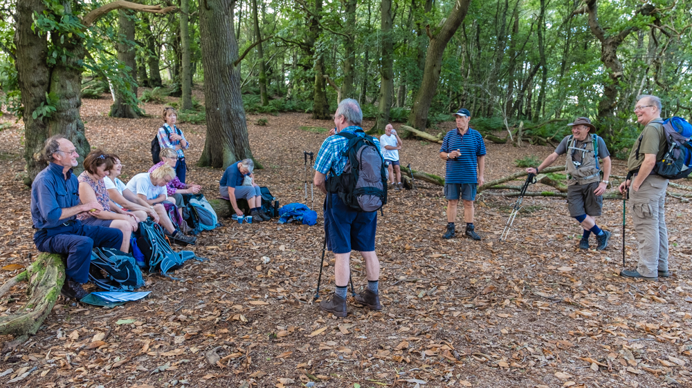
At the refreshment stop Keith revealed that the walk took the form of a figure of eight and we would shortly reach the centre point. There was some talk of waiting nearby for the party to return later but discipline was maintained and everyone carried on. We saw Elephant Track Cottage and wondered about the strange things people did to make life more interesting before the internet came to save us. Apparently a garden nearby contained a statue of an elephant and one thing led to another.
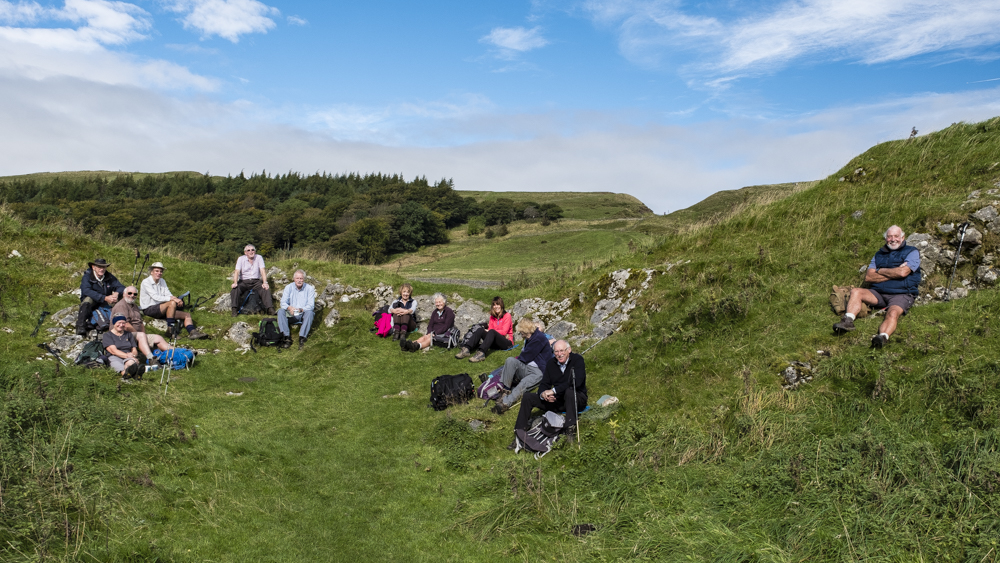
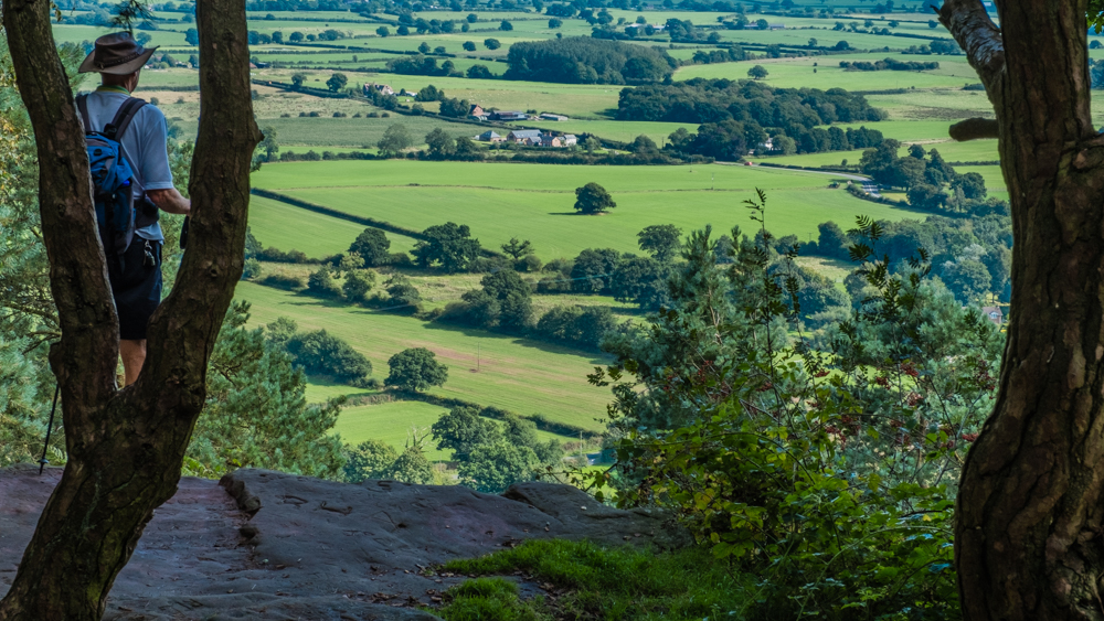
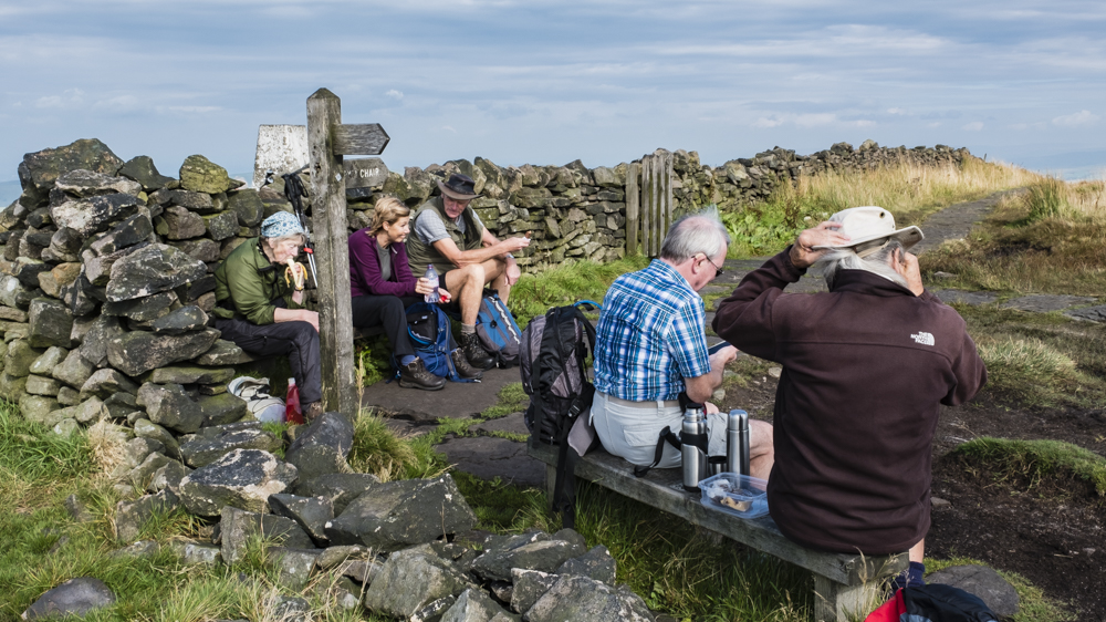
Keith was keen to stop for lunch on the top of Raw Head, which offers spectacular views, so we pressed on so that we wouldn’t have to climb it with full stomachs. As soon as we settled down there, Doreen allowed her mat to blow into a gully and summoned a good Samaritan to retrieve it. Little did she realise that this was the entrance to the notorious Bloody Bones cave – the haunt of a band of brigands in the early 19th century. They seemed to have had an unfocussed business plan because Wikipedia reports that they “terrorised the surrounding countryside, stealing cheese from local farms and plundering graves, as well as selling sand for cleaning”. Seven of these cheese rustlers were captured and executed in the 1830s.
As we walked down towards Bulkeley Hill we passed the steps leading down to the Droppingstone Well. Fortunately, Rob had taken the trouble to go down and take a picture to save us the bother of trooping down and back up again. Why have a well on top of an enormous hill? How inconvenient is that? We also avoided Mad Allen’s Hole, another cave, which was named after a vulnerable adult in the 19th century.
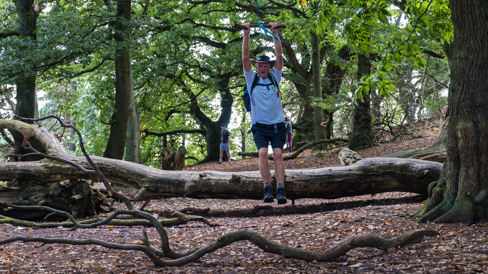
After descending from Raw Head, we climbed to the top of Bulkeley Hill passing the reservoirs built to improve water pressure for customers supplied by Staffordshire Potteries Water Board (Don’t they have hills of their own?) The construction of these tanks left an inclined plane from top to bottom, which can be used by energetic people to take a steep route to the summit. Indeed, two young people reached the top as we gathered nearby so we gave them a round of applause. After we spent some time in the clearing at the top finishing our food and drink, Dave noticed a rope swing about eight feet from the ground. It was duly tested and found suitable for an adult male weighing 85 kilograms.
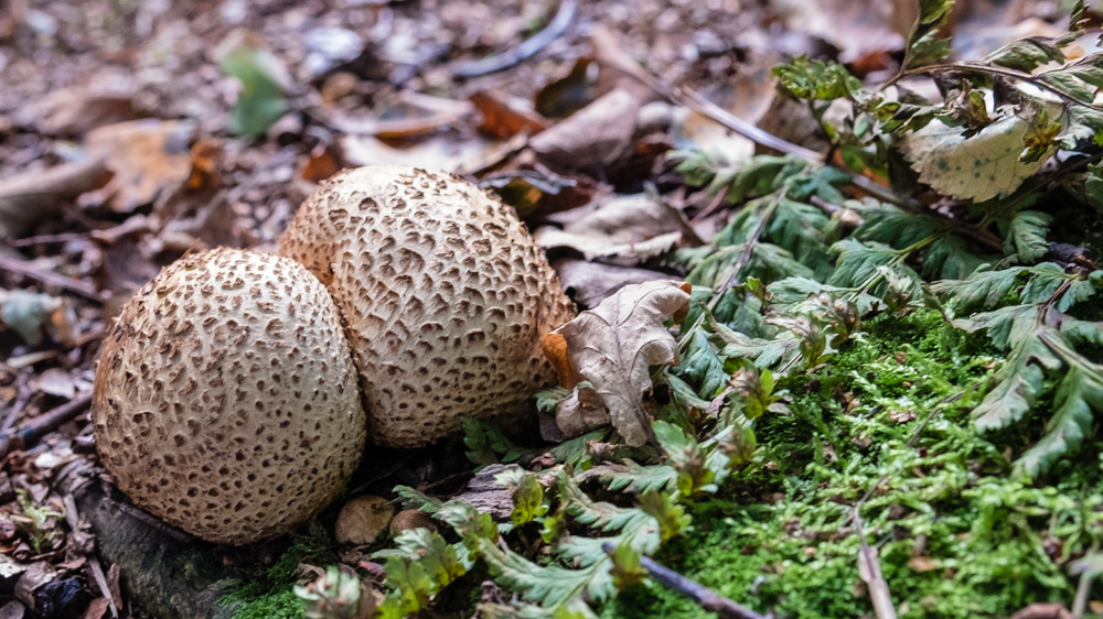
On the way down we heard the usual story “almost all downhill from here” and, to take our minds off the climbing to come, looked out for fungi of various sorts. Dave found an enormous mushroom which looked good enough to eat but Kath refused to take it home and merely took a picture of Dave holding it for her vegetable collection. We also spotted damsons (not ripe enough) but nobody announced they had seen the rare fern delightfully named Lobed Maidenhair Spleenwort which is present in the area.
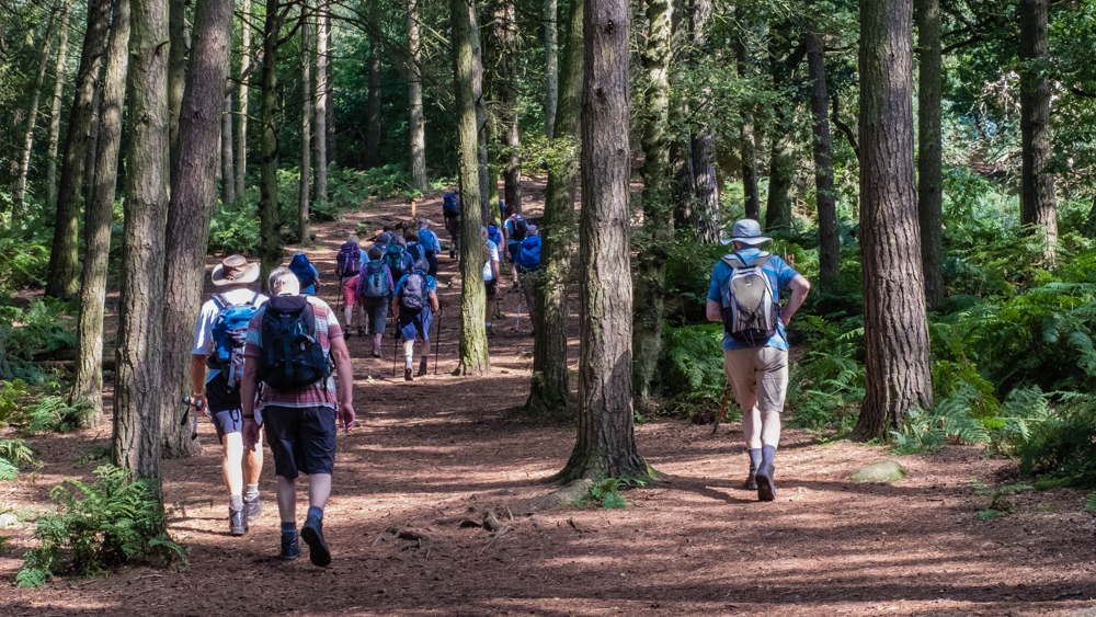
We took the Sandstone Trail back to the castle car park, where the café received a surge of customers.
21 Sep Walk Leader: Paul Billington Goyt Valley Drive to start of walk: 25 miles Length of walk: 10.5 miles Number walking: 13
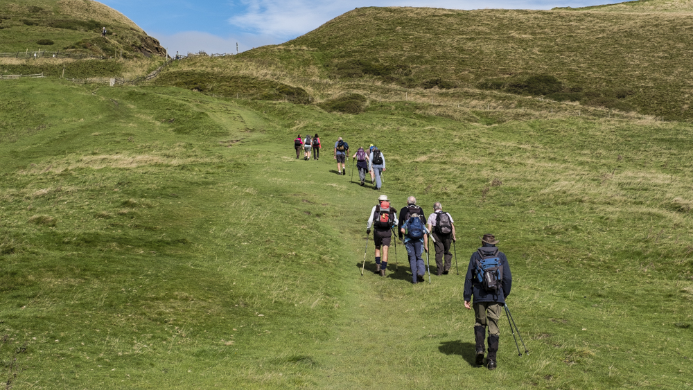
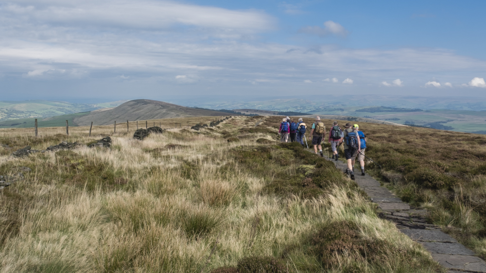
The walk started from one of the Errwood reservoir car parks and immediately climbed out of the Goyt valley to the border of Derbyshire with Cheshire. We eschewed the delights of Shooters Clough and the ruins of Errwood Hall to avoid exposing our flesh to midge attack. When our path reached the border we turned right to reach Shining Tor, where we took our first refreshment stop. Shining Tor is the highest point in the current county of Cheshire; before the 1974 reorganisation, Cheshire boasted the slightly higher Black Hill in Longdendale but that now resides in Derbyshire.
Shining Tor is only just in Cheshire and the wall to the left of our path defines the border up to Windgather Rocks. Nobody has mentioned this interesting fact on previous visits, but you should be aware that Shining Tor is included in the definitive list of Marilyns. Similar to a Munro (a Scottish mountain taller than 3,000 feet) a Marilyn is a hill that has a topographical prominence over 150 metres. In layman’s terms that means it’s much bigger than nearby hills.
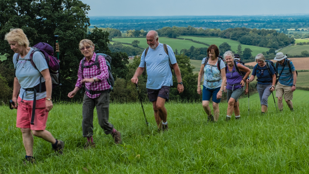
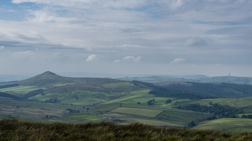
We walked along the ridge for our lunch stop at Windgather Rocks and enjoyed the all-round views as far as the haze allowed us. The great thing about walking along this ridge is that the lunch destination is in view for a long before you reach it, so those walkers who suffer hunger pangs can feel encouraged that it is getting visibly closer. We spread out below the rocks and tried to work out what the young people nearby were up to. Their activities involved recording video, taking pictures and standing about a lot. It was probably art. Although the long walking page on the website says walkers don’t have to scramble up rocks, most of us did just that to regain the path and seemed to enjoy the experience.
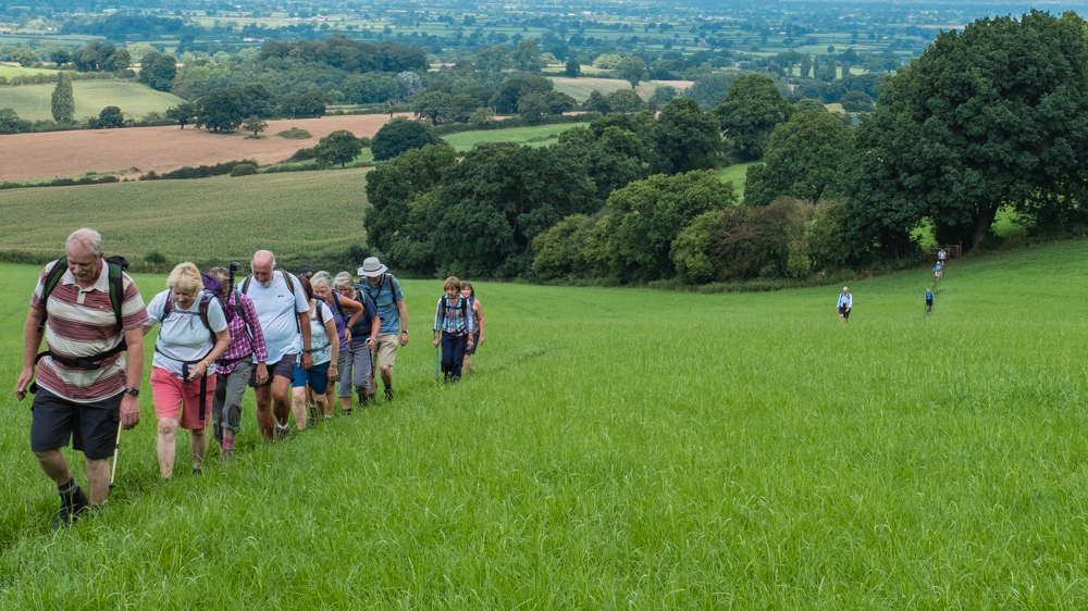
We skirted the edge of the Goyt Forest with its numerous blown-down trees and walked along Taxal Edge before descending to the tiny hamlet of Taxal, where we had to visit the church. This is not because of an outbreak of religion in the ranks but to use the public toilet next door. Refreshed by this encounter we set off on the return leg along the western bank of the river Goyt taking in part of the Midshires Way. What could have been a gentle climb back to the car park involved much ascending and descending as the path wandered away from the river. At the dam holding back the Fernilee reservoir, we stopped for refreshments and a rest. Another walking group came by, looking with some regret at the benches we were occupying and refused to respond to our calls.
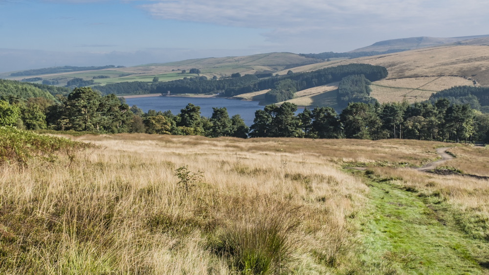
The final leg required us to walk along the Errwood reservoir after walking the length of the Fernilee reservoir. These provide water for the people of Stockport and between them hold over 9 million litres of water. It takes some effort to walk past them. On past visits to the reservoirs we have encountered an ice cream van but there was no such solace this time.


28 Sep Walk Leader: Bill Crichton Hope Valley & Edale Drive to start of walk: 35 miles Length of walk: 11 miles Number walking: 14
From our base in the car park of the Castleton Visitor Centre we set off for a tour of caverns. We didn’t actually go underground but we passed the Peak Cavern, Speedwell Cavern, Treak Cliff and the Blue John Cavern. After this exhausting tour we stopped for refreshments on Windy Knoll, where we observed some geology students being shown what rocks look like. They didn’t seem used to walking up hills; one of them borrowed a walking pole from the back marker and asked if there was a horse available to help her to the top. There wasn’t.
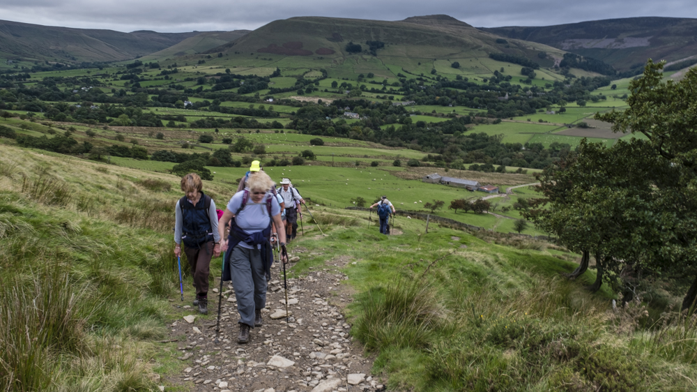
Energised by our refreshments, we headed for Mam Nick and climbed on to Rushup Edge. From this high position we had glorious views in all directions as we tramped off looking for the path that would take us into the Vale of Edale. It turned out that the way down entered the vale right at the end, by which time we thought we were walking to Chapel en le Frith.
Our reward for sticking it out was to have lunch on picnic tables at Dalehead. After this we thought the route would take us down to Edale, but we climbed to Upper Booth and followed the Pennine Way to its start point in Edale. As we walked the Pennine Way, we could see our next milestone – Hollins Cross, but it looked a long way off. We finally made it to the top and before we descended into the Hope Valley, Ralph told us a fascinating tale of sickness and death in the medieval period. How lucky we are today!