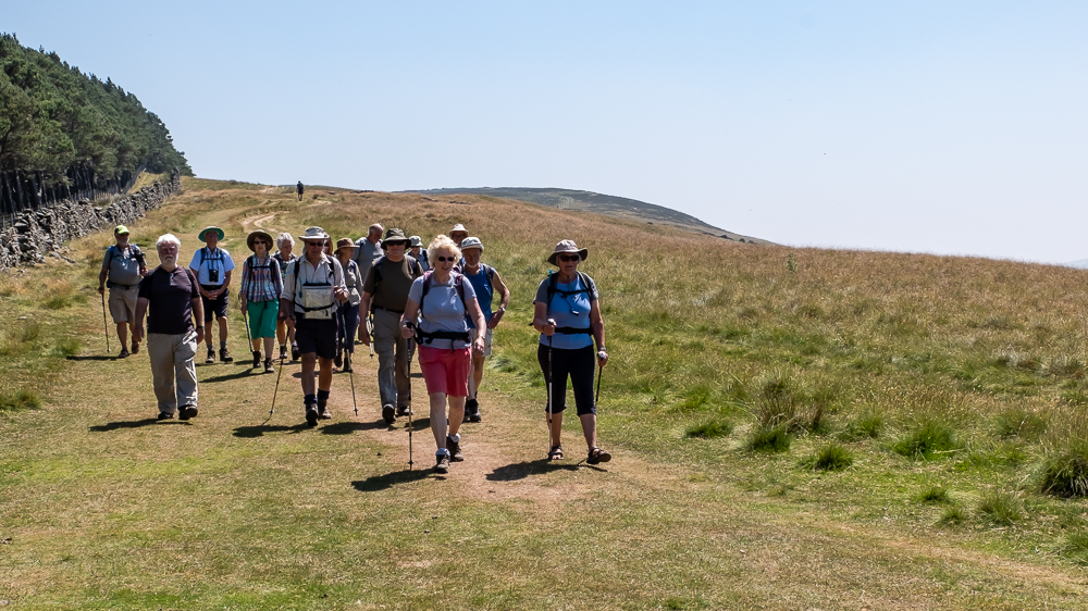
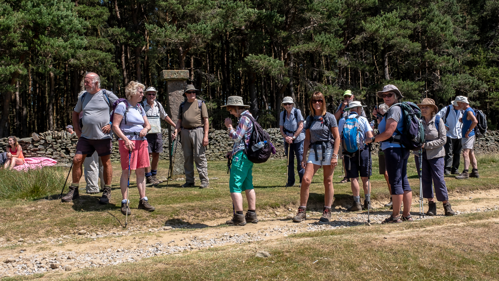
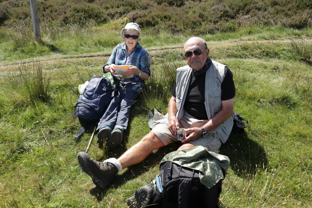
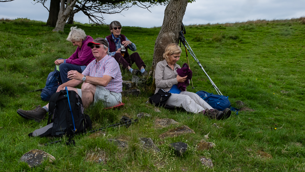
6th June 2018 Hathersage Walk Leader: Ralph, Length of walk: 9.5 miles, Driving Distance: 40 miles, Number walking: 14
With many regulars in foreign lands or on the Ocean Wave, numbers were down for a very good walk (the leader said!)
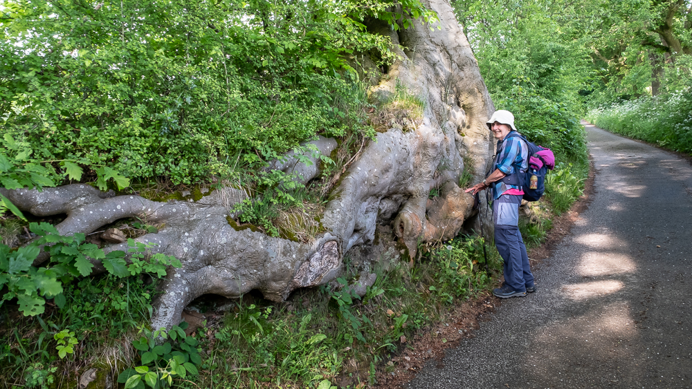
It started promisingly – as the Pay and Display machine was out of commission so that was £4.00 per car saved! After sampling the very modern toilets in the village, the group set off on a journey littered with information relating to Charlotte Bronte and her sojourns to Hathersage – to set the scene for Jane Eyre.
The first ‘talk’ related to Brookfield manor, which was owned by Mr Oliver as Vale House, in Jane Eyre. He owned a needle factory – of which, coincidentally, there were a few in Hathersage.
The party then moved up to North Lees which was the setting for Thornfield Hall in Jane Eyre. Other memorable happenings were mentioned during the Eyre family’s tenure, including the removal to Derby Jail, for hanging, drawing and quartering of Messrs Ludlam and Garlic (whom we had come across previously at Padley Chapel) as punishment for keeping the faith. There was mention of the ghost to be seen at the attic windows, but scepticism ruled OK, even though there is documentary evidence that a mistress of Robert Eyre, Agnes Ashurst, was kept locked in an attic room – because she was mad – and later died in a fire that consumed said attic.
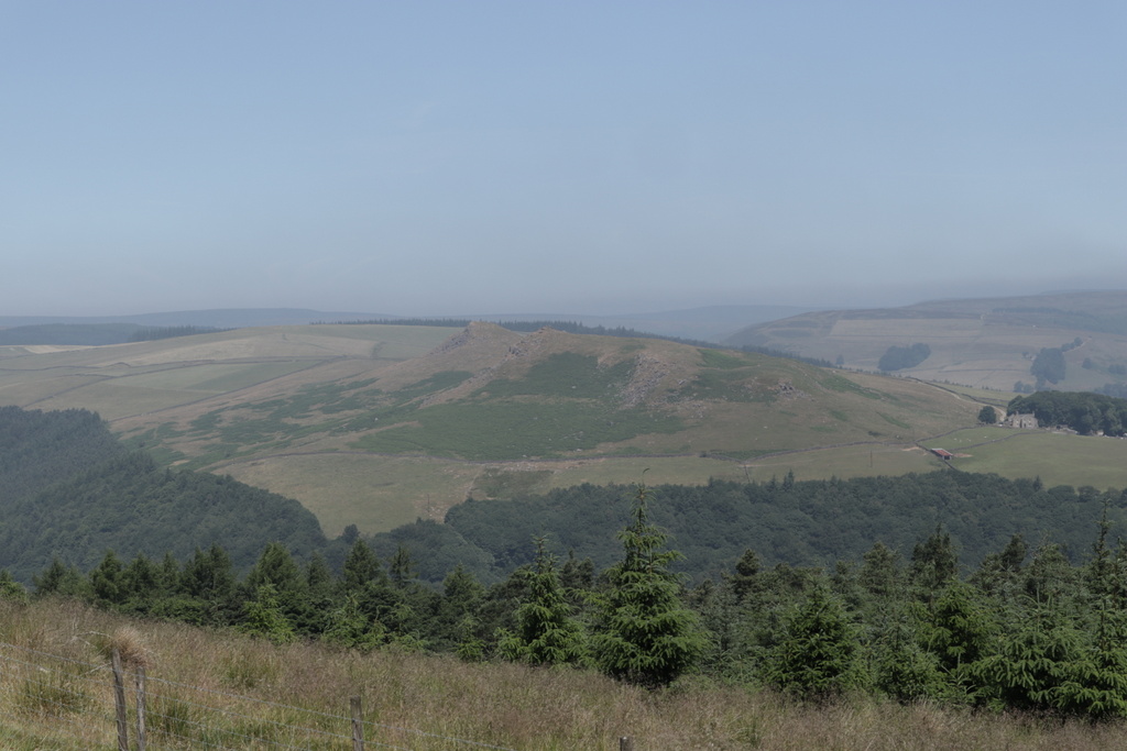
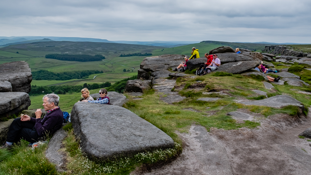
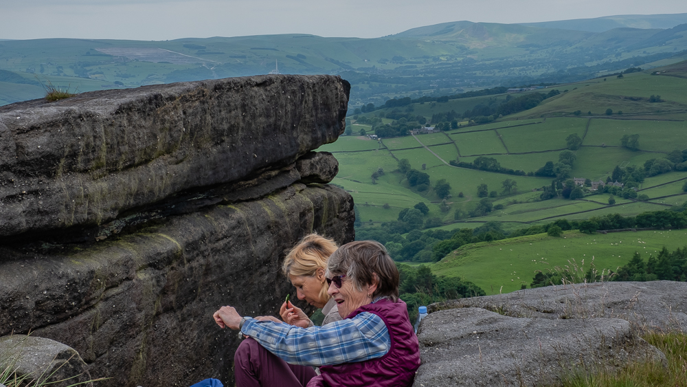
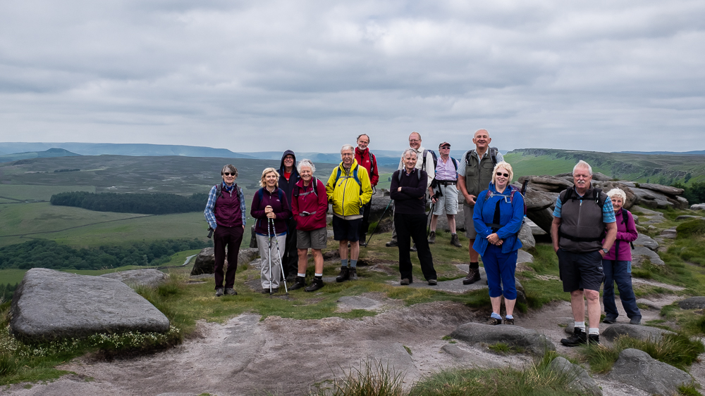
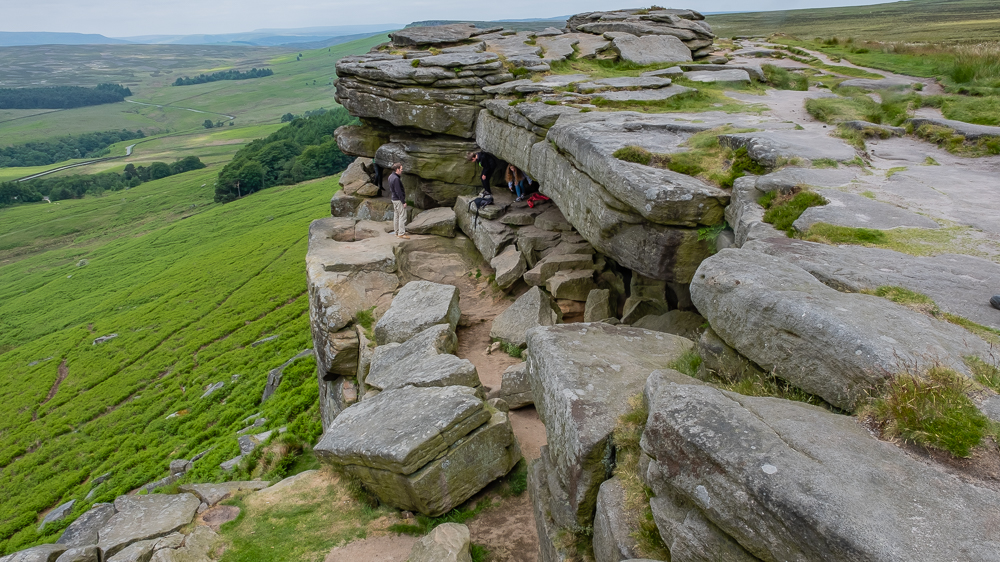
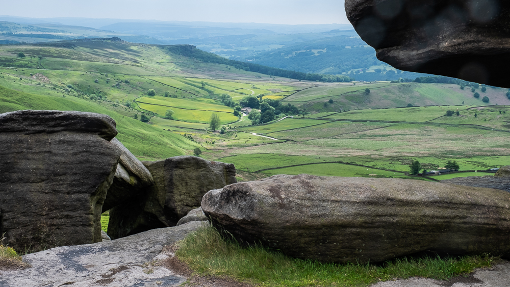
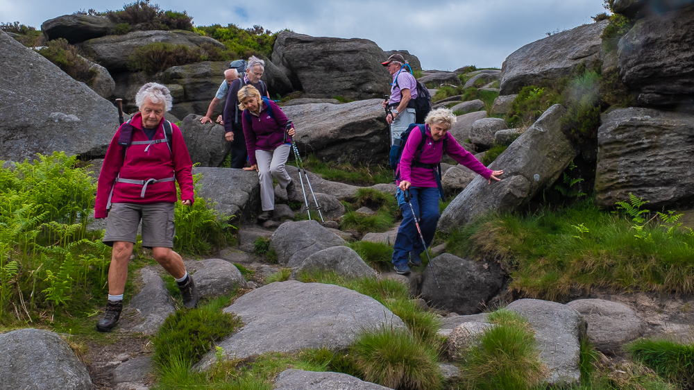
Moving ever upwards, we climbed Jacob’s Ladder (he gets everywhere) onto Stanage Edge. Strangely, no one had witnessed the scene in Pride and Prejudice (Charlotte Bronte again) where Keira Knightley (aka Elizabeth Bennett) had poised on the edge, threatening mischief to herself, before going down and marrying Mr Rochester.
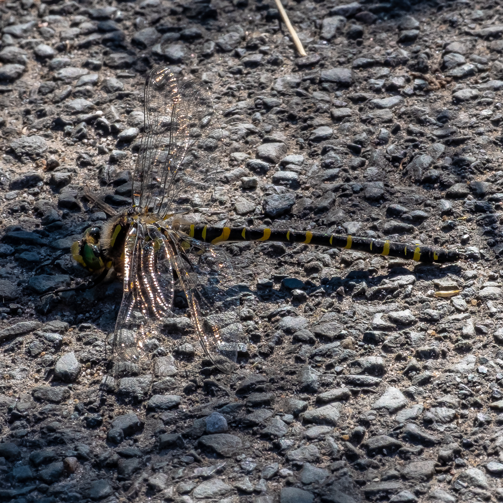
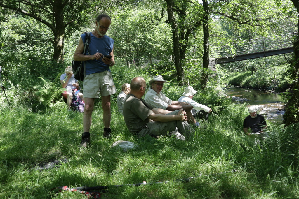
In a less literary vein, we were able to listen to the cries of Curlews and Red Grouse, as well as read the story of how the Ring Ouzel conservation scheme has met with much success in the protection of this rare species. We were also able to look down on to Robin Hood’s Cave, but unfortunately, he wasn’t in and – more sadly for some – neither was Maid Marion.
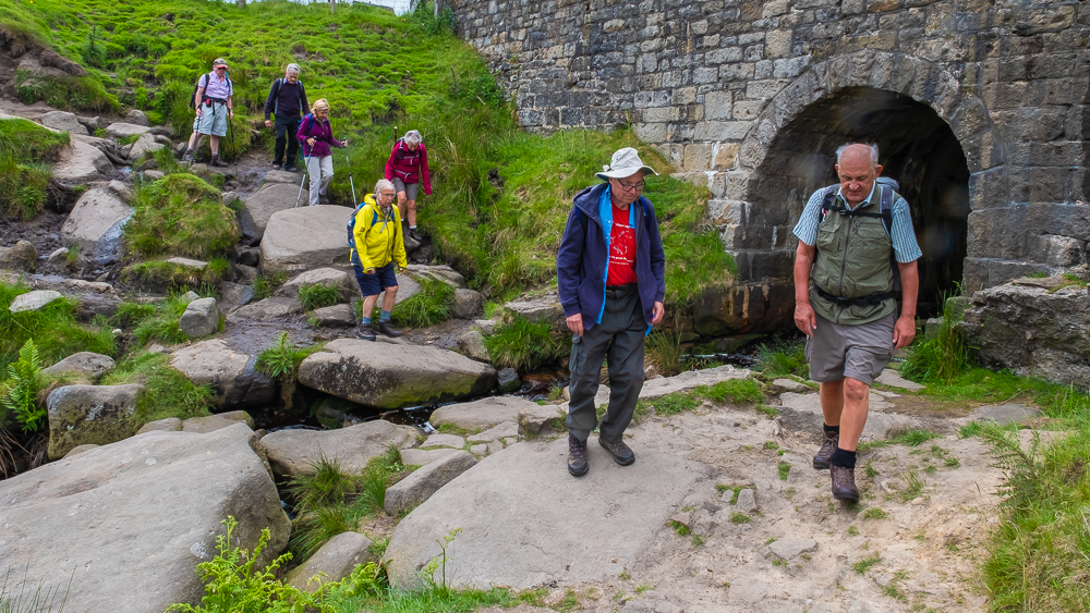
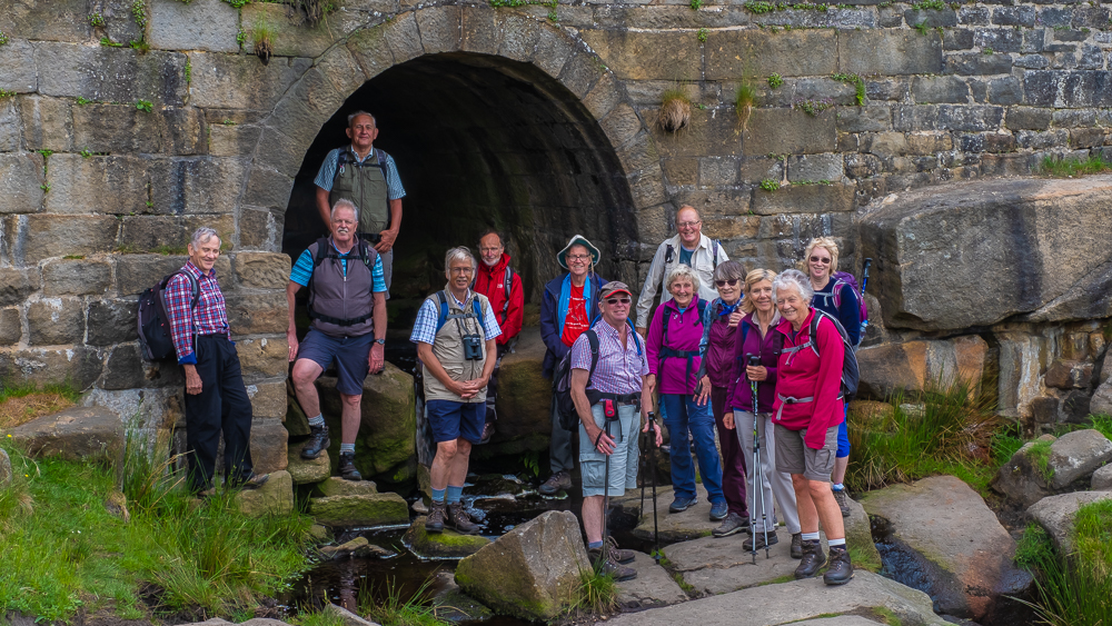
We descended from the Edge via the Cowper Stone and walked down Burbage Brook before crossing below Carl Wark, descending Mitchell Field to Camp Green where we were given all the historic facts by the owner of the house which occupies the site. A further bit of history came with the visit to Little John’s Grave in the Church Yard – more scepticism! – before a further visit to the loos, and the cars.


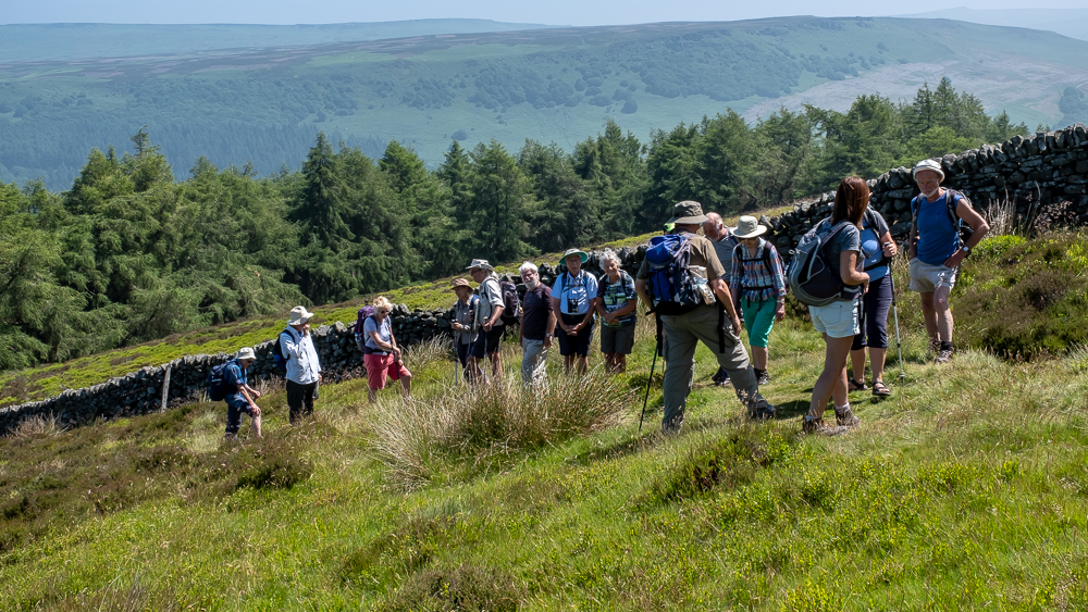
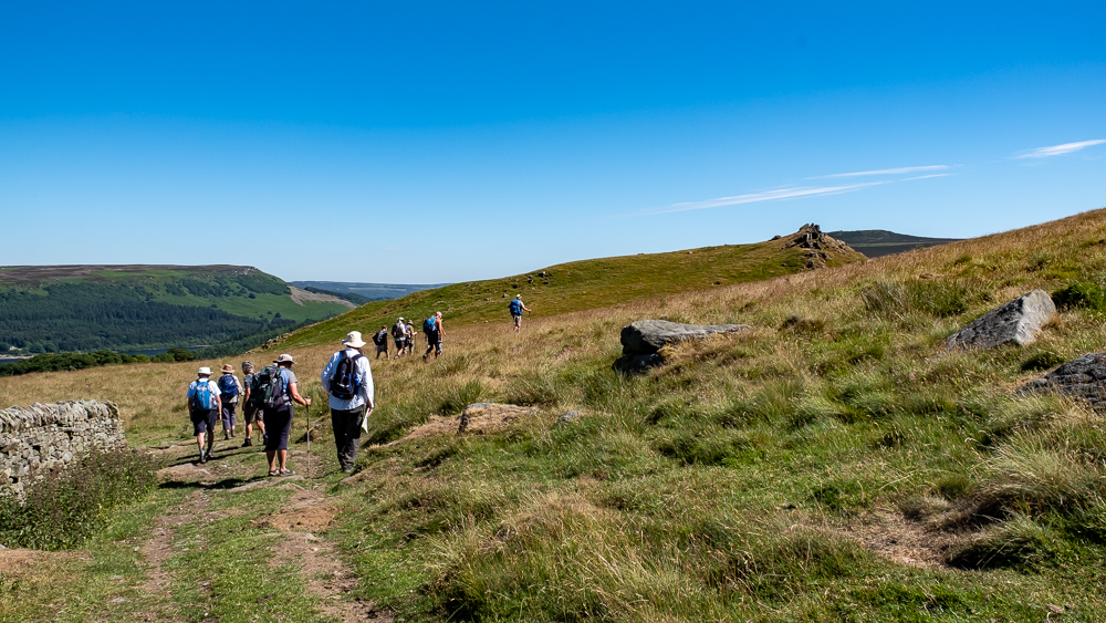
20th June 2018 Barber Booth Edale Walk Leader: Ralph, Length of walk: 6.5 miles, Driving Distance: 35 miles, Number walking: 20 + 1 stray Kiwi
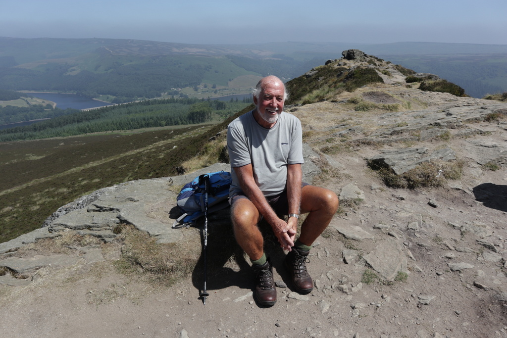
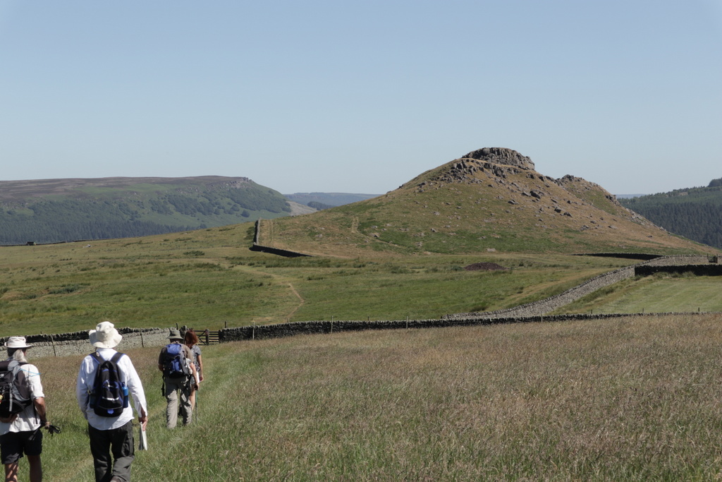
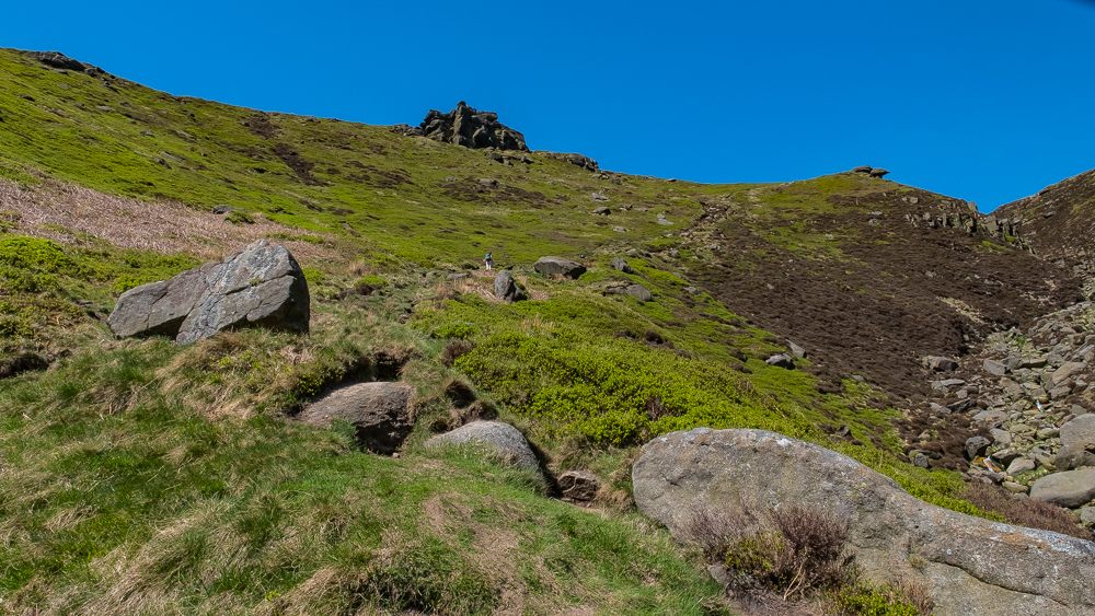
Our happy band of 20 mustered in very good spirits at Barber Booth, and having enjoyed the ‘facilities’, with a lovely view of the railway, cheerily embarked on a walk that looked promising – with just a bit of an adventurous climb to surmount before enjoying the superb panorama from Crowden Towers and Kinder’s southern edges.
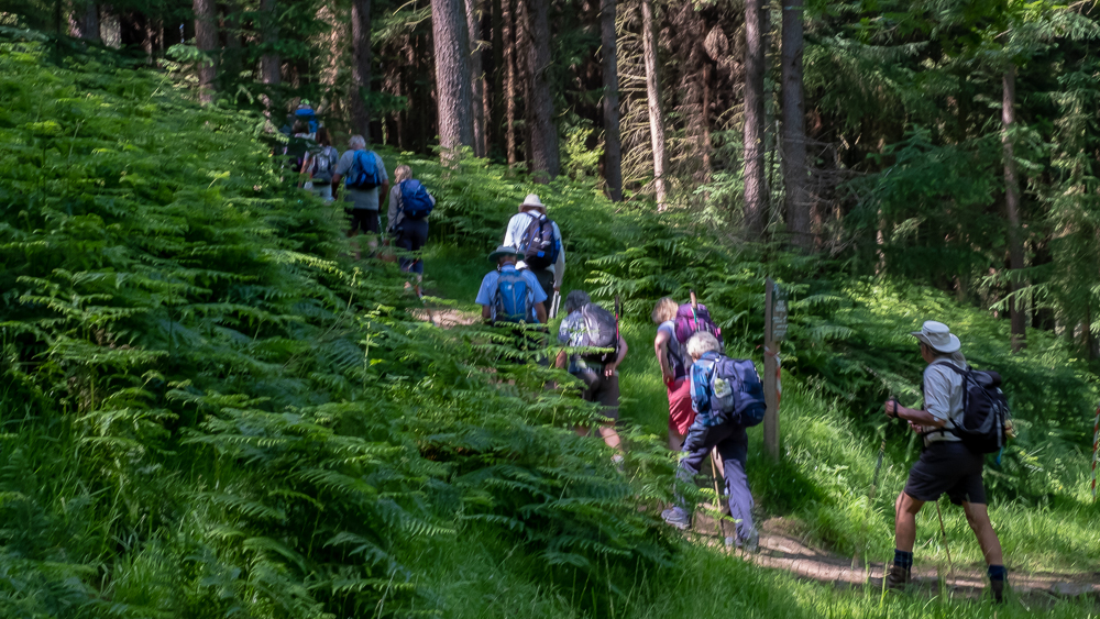
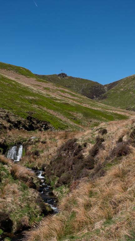
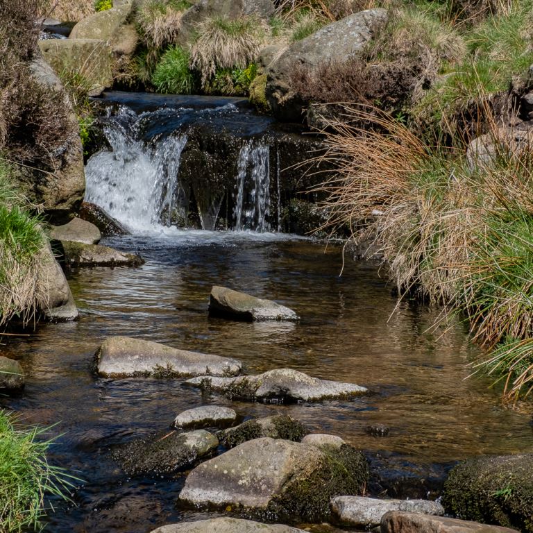
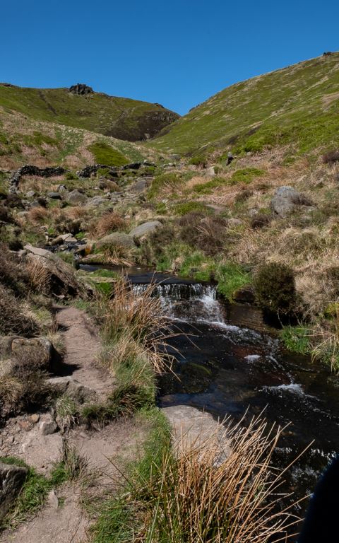
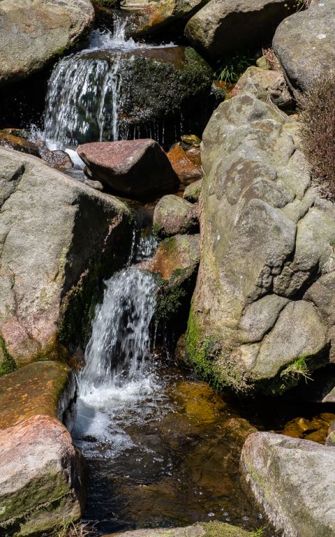
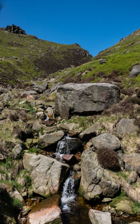
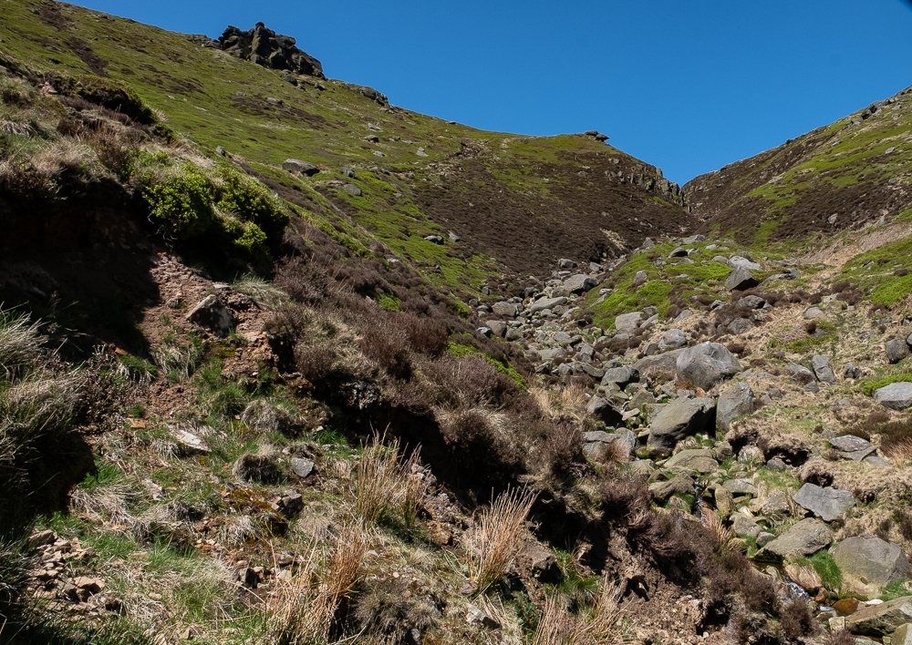
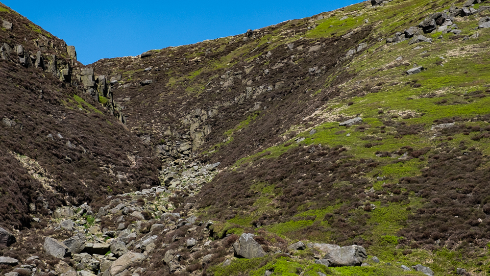
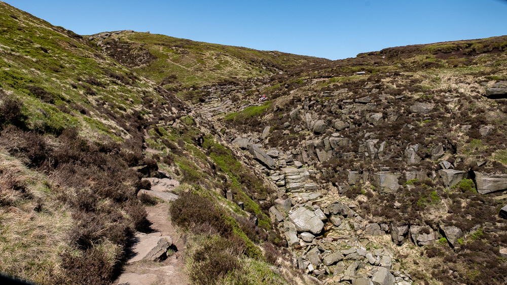
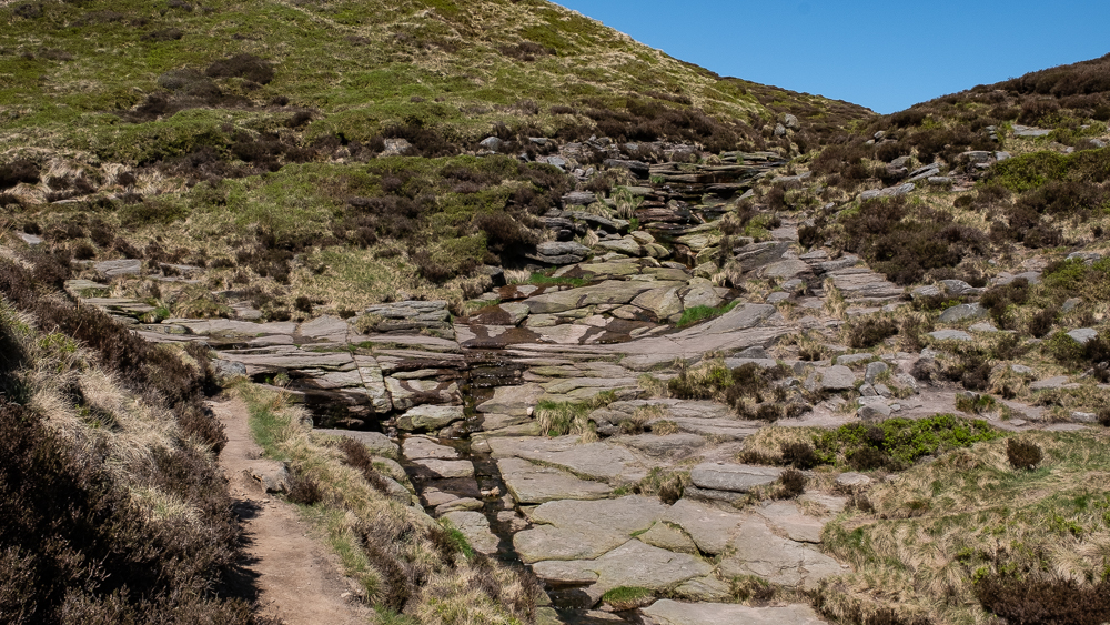
Upper Booth was reached via the path above the river Noe, and then began the ascent of Crowden Clough – a delightful, gentle stroll alongside Crowden Brook in the early stages, with a coffee break in the wooded glade, where the midges were duly entertained.
The more challenging ascent came next – with still no real hint of what was to come.
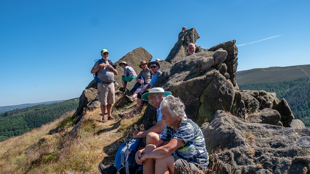
There was just enough time to marvel at the beauty of the Vale of Edale after our three-point ascent, when, concurrent with our arrival at the top of the brook, the clouds/mist/rain/call it what you will, occluded our vision and made lunch a very, very wet affair. We gained a gentleman from New Zealand, pointed him in the right direction, before mustering the troops with some difficulty in the fog, to struggle through the wet blanket (that does not mean the leader!) that surrounded us.
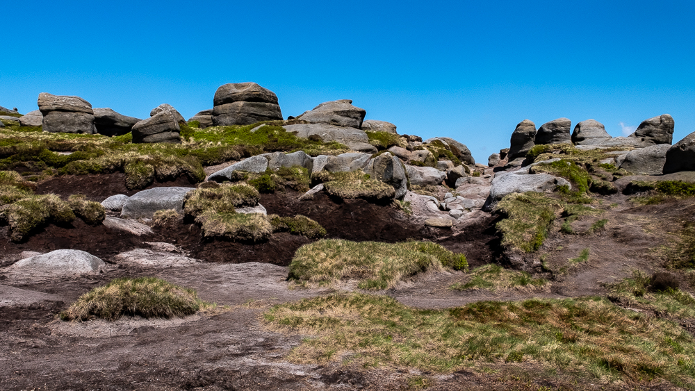
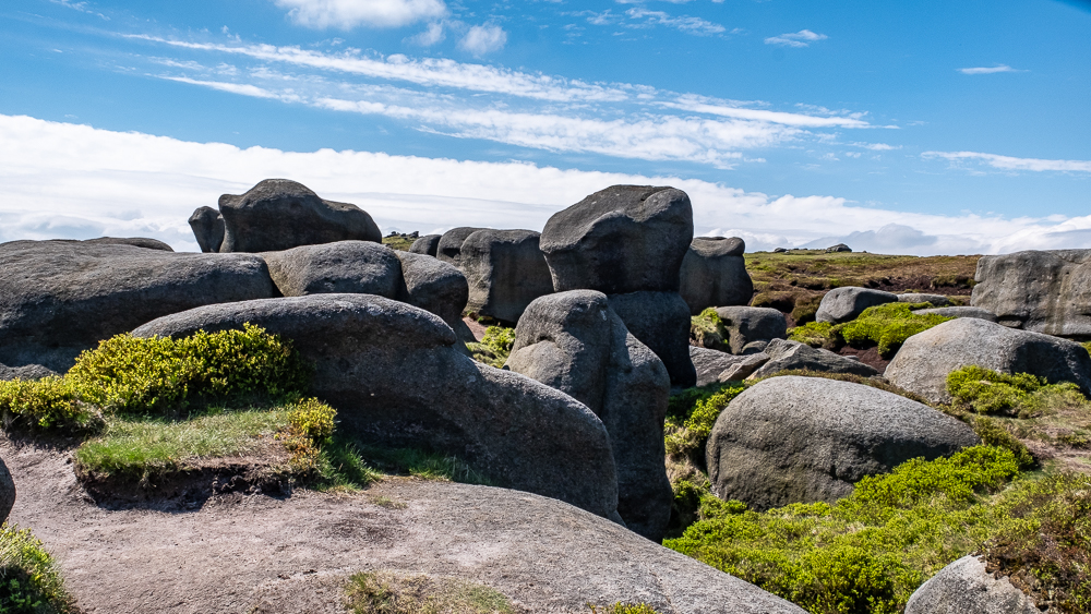
The leader, having remembered the exotic names for all the rock formations, was frustrated in his desire to impart this knowledge, by the fact that we could not see them in the mist and rain. The Wool Packs, Pym Chair, Edale Head, the Noe Stone and Swine’s Back all passed unremarked and unregistered. The one recognisable object we did see was our New Zealand friend who had given up on ever reaching the end and so had turned around to retrace his footsteps (he hoped!). He was very happy instead, to take up the offer of joining us and discussing places of common interest in the Antipodes, with those of our party who have family over there.
Thus, our still happy band of now 21, walked on – like Gerry somebody or other from Liverpool – until we reached Jacob’s Ladder – a farmer not an angel or a sheep – and the final stretch down the valley to the cars. We left our new friend at Upper Booth – to follow the Pennine Way back to his car in Edale – will we ever know if he found it?
It being the LWG, all were still in good spirits at the end – despite being drenched, cold and a long journey ahead. There were no threats made to the leader!


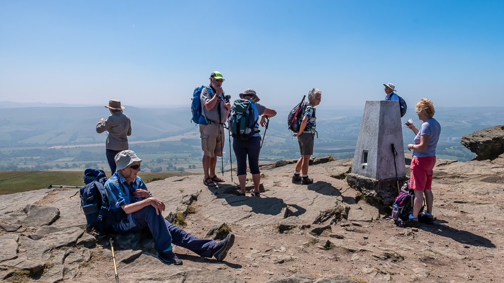
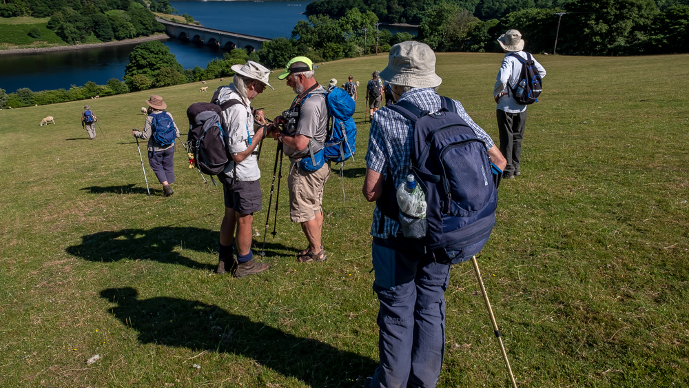
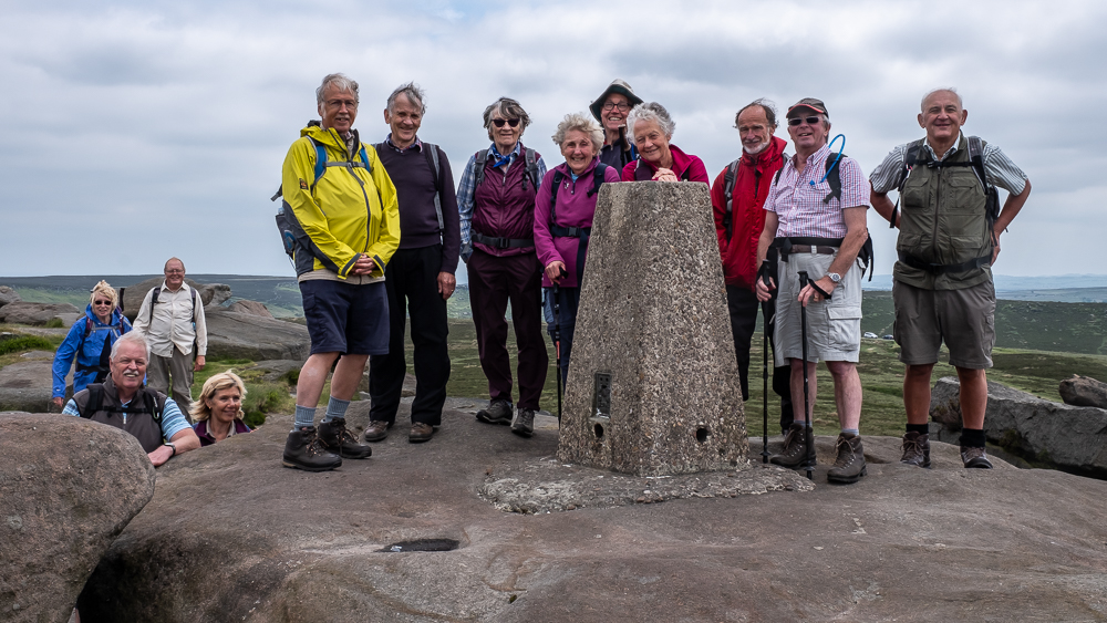
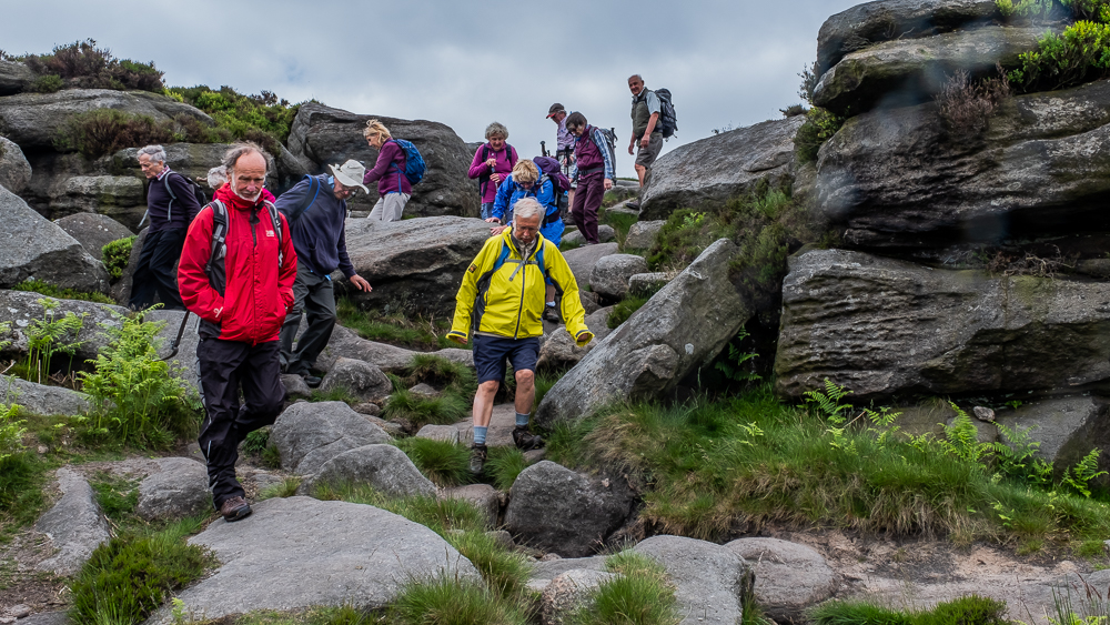
27th June 2018 Heatherdene CP Bamford Walk Leaders: Bill and Ruth, Length of walk: 10.3 miles, Driving Distance: 40 miles, Number walking: 16
The question today was about the heat. In the end, it was decided that, as the temperature in the Peak was a few degrees lower than Sandbach, the walk should go ahead, with the proviso that it could be amended if there was a problem.
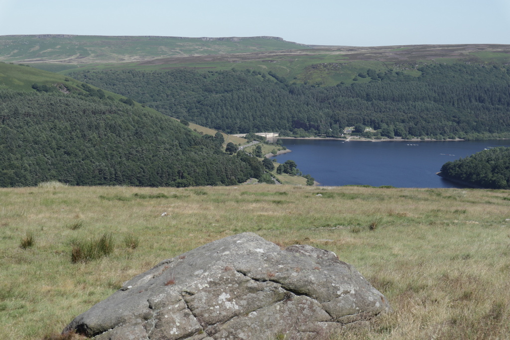
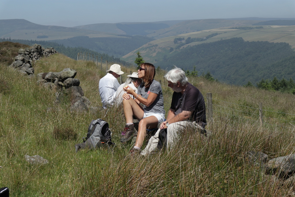
This ultimately proved unnecessary, and a splendid walk was enjoyed by all – including a couple of ascents that offered truly splendid panoramic views in a 360° arc, where members were able to follow many previous peregrinations.
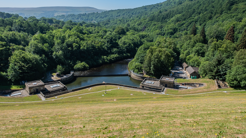
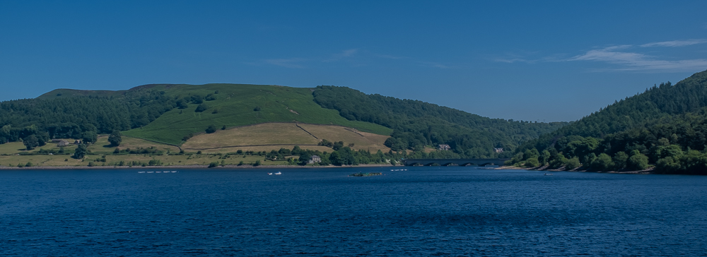
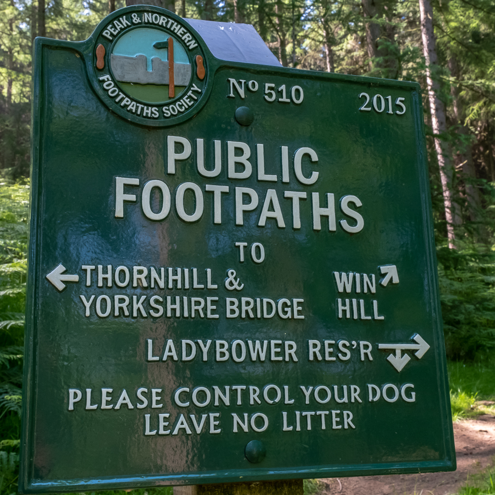
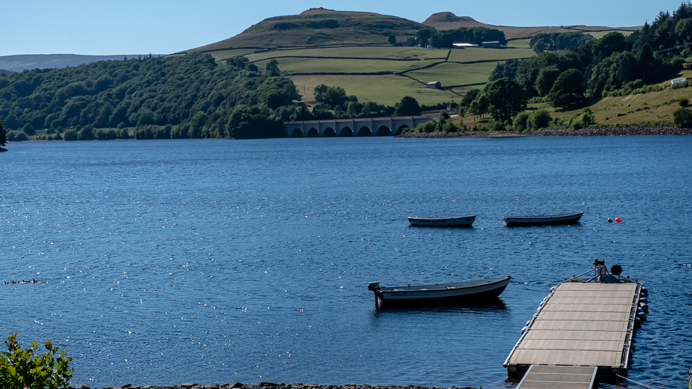
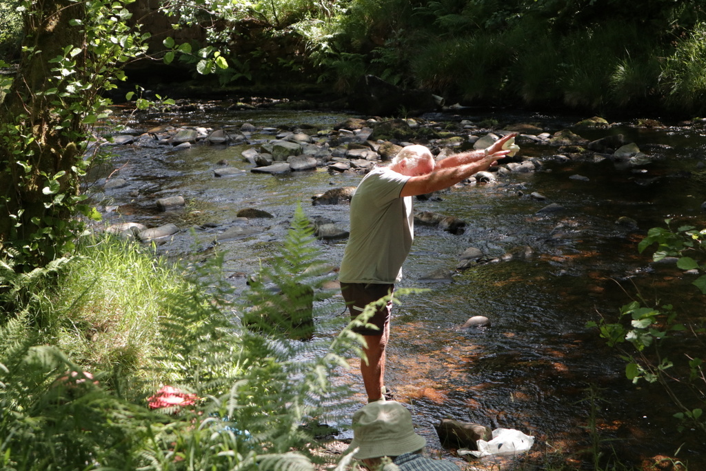
Having crossed Ladybower Dam Head, a walk through the woods, via the Springs and Win Hill Plantation, led to the summit of Win Hill Pike and Win Hill – the first of the panoramas. A long downhill stretch ensued across the ‘Brinks’ of Thornhill and Hope before reaching Hope Cross. Thought was given to the fact that it had stood there since Roman times and marked a junction of old pack horse trails that traversed the Peak between Sheffield and Glossop known as Doctor’s Gate, which the group has traversed in other places, at other times. A further descent led to a wonderful spot for lunch – on the banks of the River Ashop. The waters here were used to advantage for cooling people and water – as well as one member who decided to have an involuntary body wash.
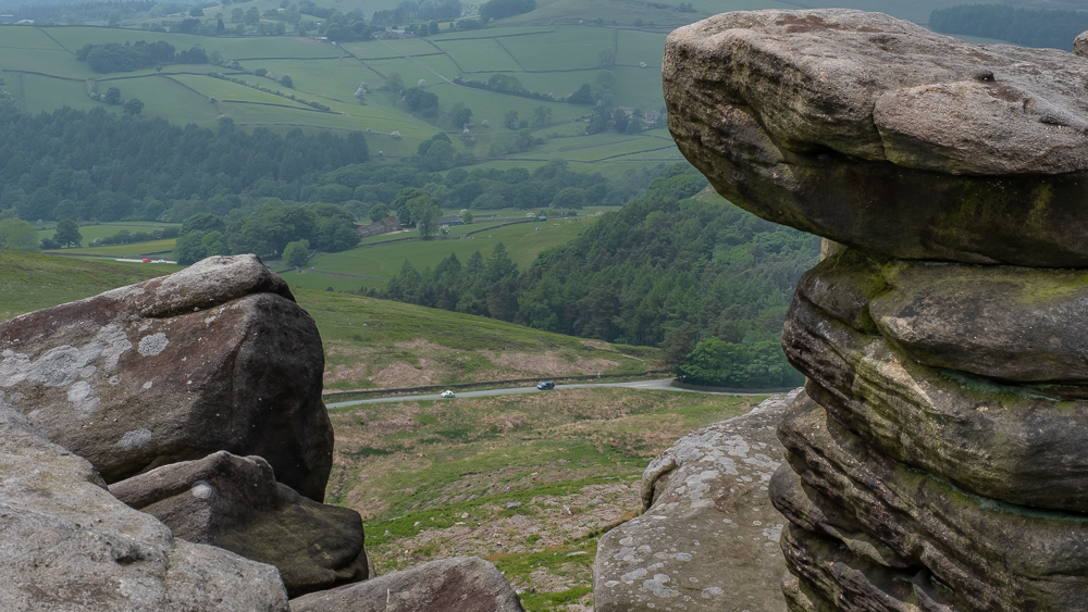
Having crossed the Ashop at Haggwater Bridge, a fairly gentle stroll, traversing the meadows of Bridge-end Pasture, led to a short, sharp climb onto the top of Crook Hill (at a height of 1253 feet) – only recently (since the 2000 Crow Act) walkable. Our eminent geologist was busy doing other things, thus missing the opportunity to explain how the rocks developed and what sand has to do with Kinder Scout grit.
From here it was downhill all the way – giving a relaxed end to a very good day, which the heat did absolutely nothing to spoil.