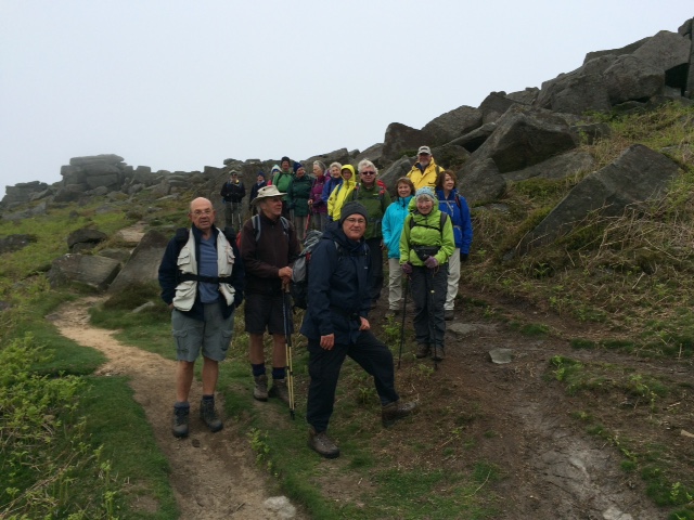
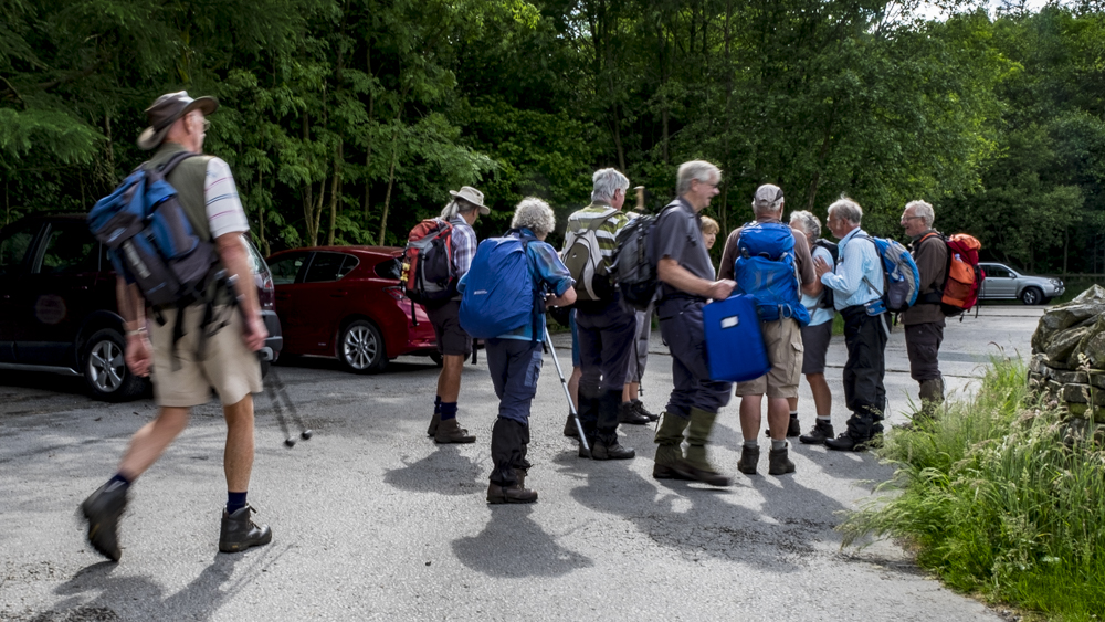
1 Jun Walk Leader: Ralph Browes From Grindleford Station
Length of walk: 8.75 miles Number walking: 18
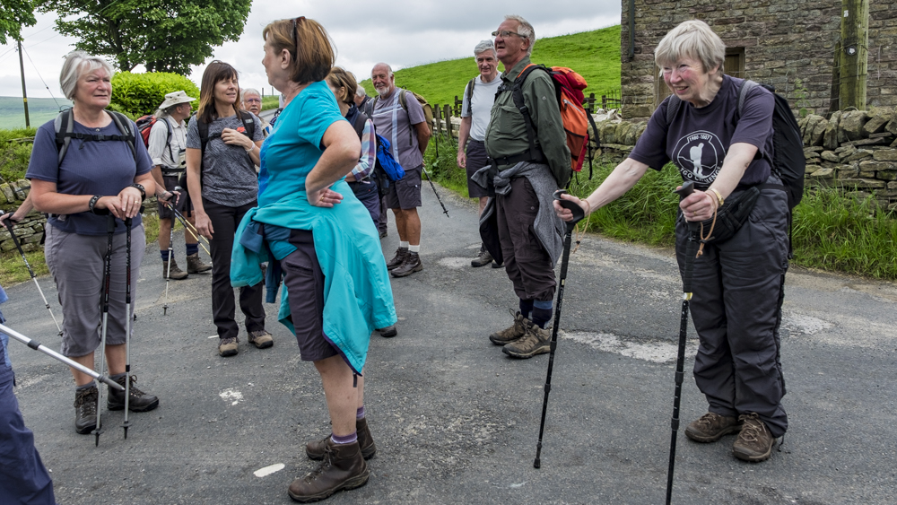
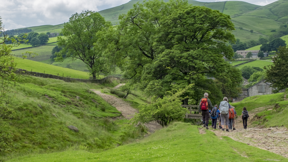
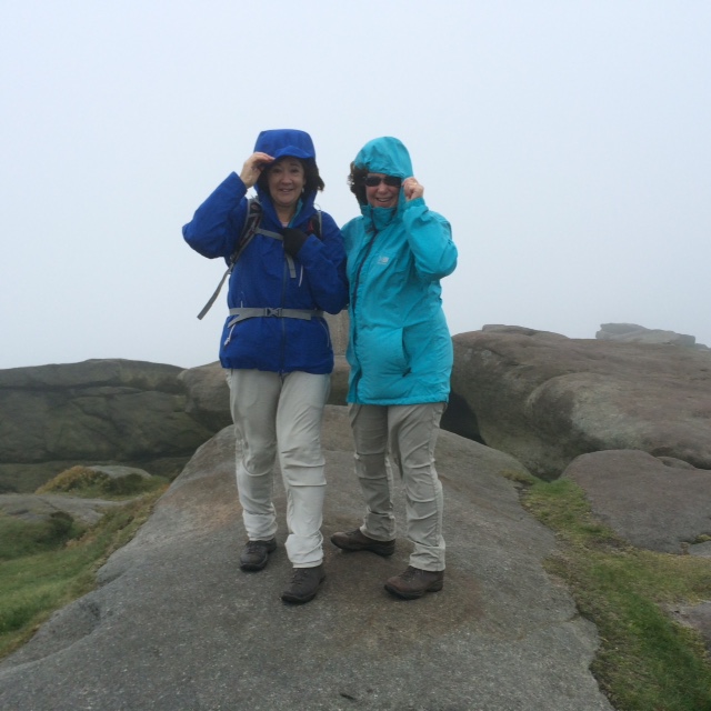
Despite yet another unpromising weather forecast and further attempts by the powers that be to create gridlock in Sandbach Town, 18 doughty members of the LWG set off for Grindleford, in the heart of Peakland. The walk eventually commenced at about 10.45.
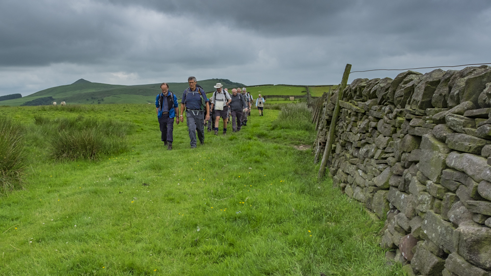
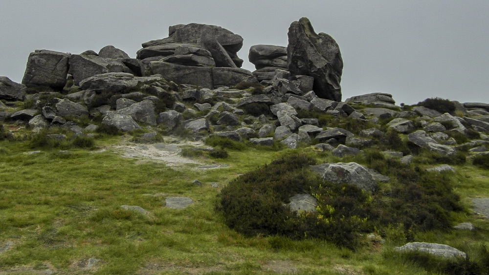
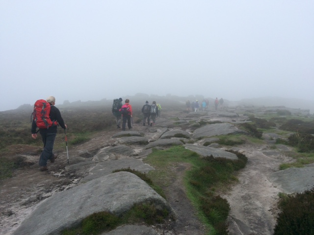
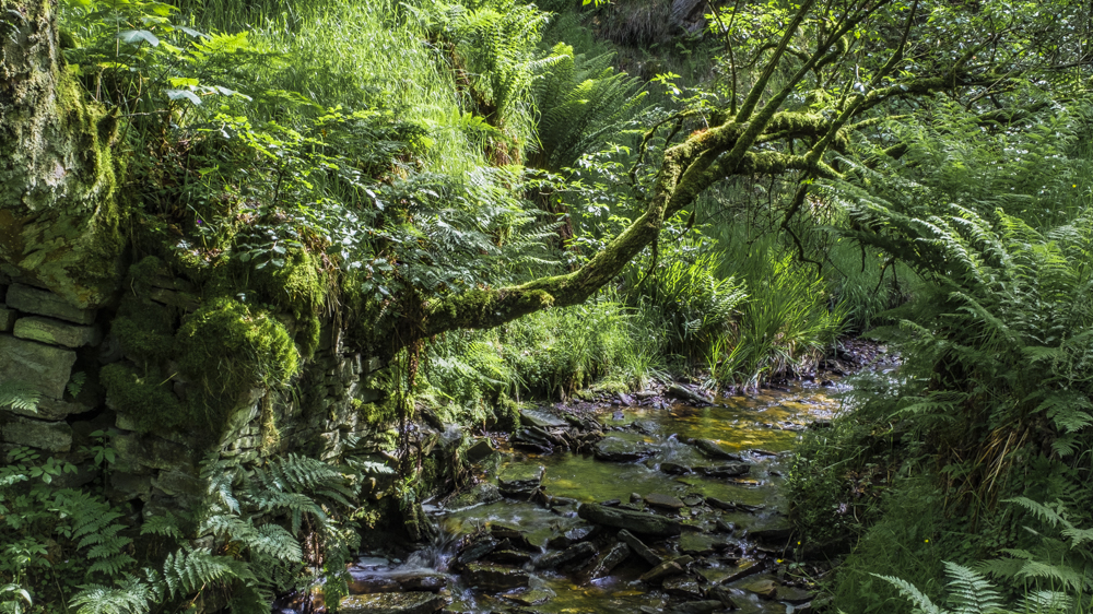
After an hours stroll through the woodlands of Padley Gorge, coffee was taken on the banks of the brook – whilst there was still some shelter from the howling gale blowing from the wastelands of NE England. Following the sandy path alongside the brook through the Longshaw Estate, Toad’s Mouth was reached at Burbage Bridge. At this point our distant objectives of Carl Wark and Higger Tor were invisible in the very low cloud – which the gale palpably failed to disperse. Nonetheless the party were persuaded to ascend both points, but necessarily taking the leader’s word on the magnificence of the ambient views.
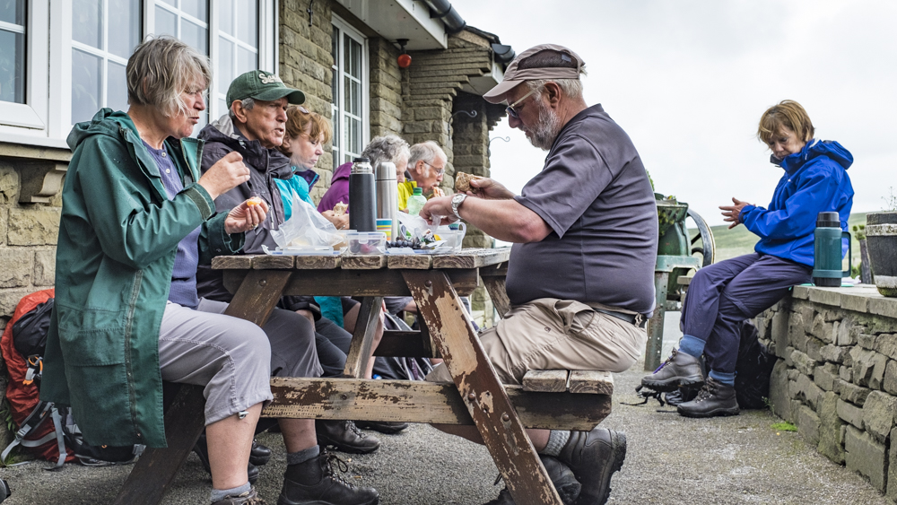
Descending from Higger Tor, a rare bit of shelter under Fiddler’s Elbow allowed a pleasant lunch break, followed by a modest ascent on to the Eastern extremity of Stanage Edge via the Cowper Stone and Trig Point. Having found the way off with a little difficulty, the weather was a little calmer, and despite having to detour for ½ mile because of locked gates on the path we were able to progress happily to the summit of Upper Owler Tor. The reward for patience and effort came in the lifting of the mist slightly, to allow a tantalising hazy view down the Hope Valley to the west and Derwent Valley to the east.
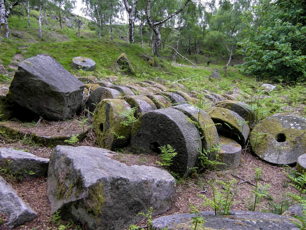
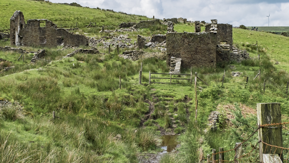
The final segment of the walk led us across the top of Millstone Edge Quarry, across the busy A6187 at Surprise View and down into Bole Hill Quarry. The group listened patiently whilst the leader regaled them with the story of the quarry and its place in the construction of the Howden and Derwent Dams just after the turn of the 20th century. Images were circulated from about 1905 to enable contrast with the current scenario we were to witness. Now the centre of some serious rock climbing activity the rock faces caused nostalgic itchy feet for at least one member! Unfortunately an absent friend (too busy indulging in Liffey Water) missed the chance to indulge his passion for Silver Birch trees – of which there was a veritable forest!
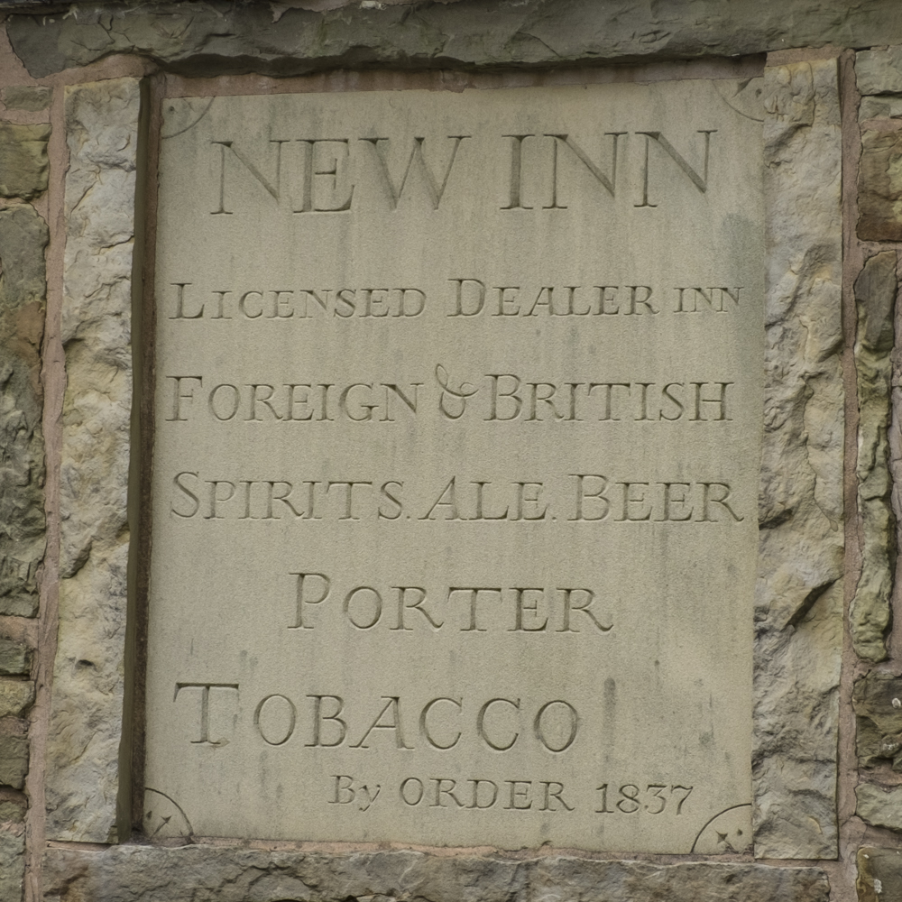
The final part of our sojourn visited the village of Upper Padley and its famous Chapel. A brief description of the events of 1588, leading to the assassination of two recusant priests, Nicholas Garlick and Robert Ludlam, was given – the details of which are far too gruesomely macabre for the readership of this web site.
We arrived back at the car park just as the shutters went up at the café (½ hour early!). BUT AT LEAST THE DAY STAYED DRY.
As a footnote – it was really great to see one half of the Beck family re-join us after the terrible experiences that befell them in Australia. We all wish Mike a very speedy journey back to the walking fold, to join Linda, and keep our spirits raised with his waspish humour.


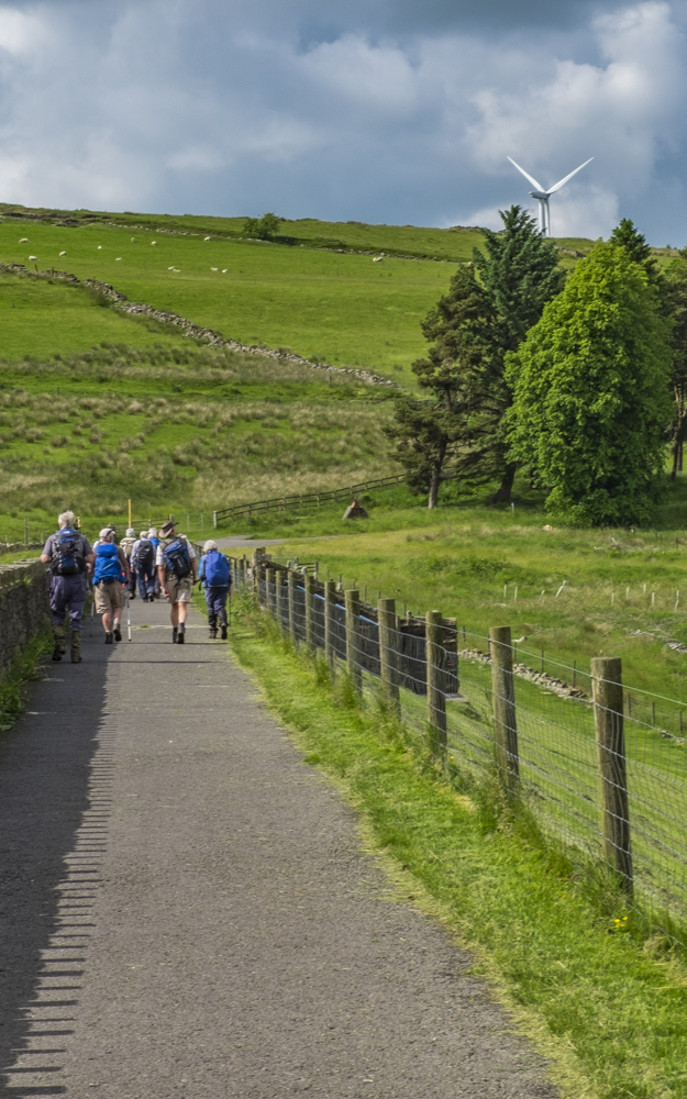
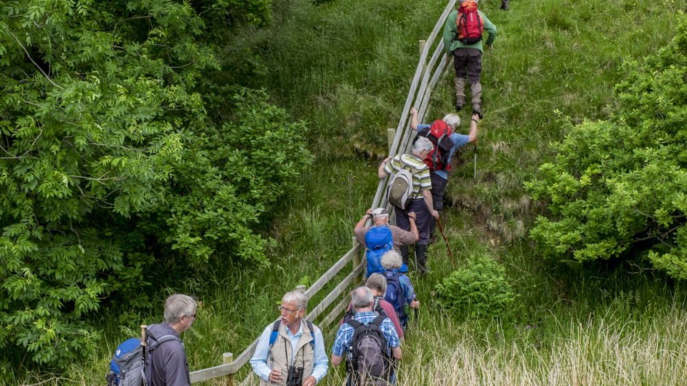
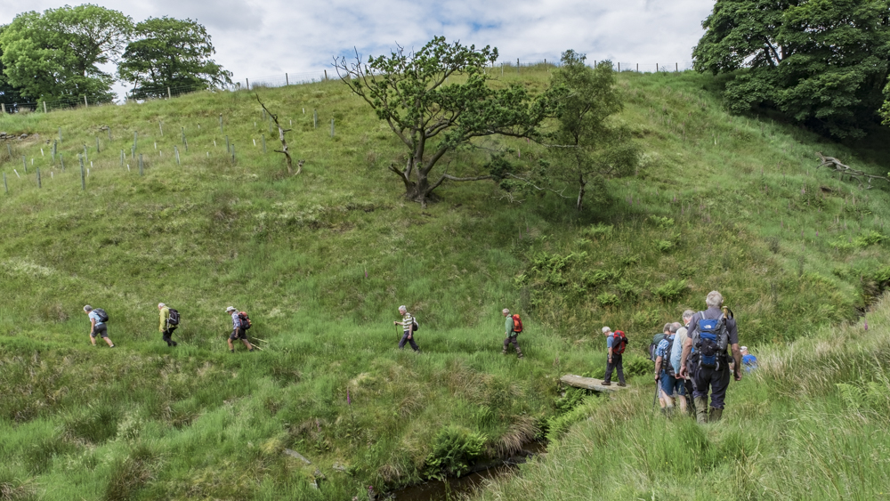
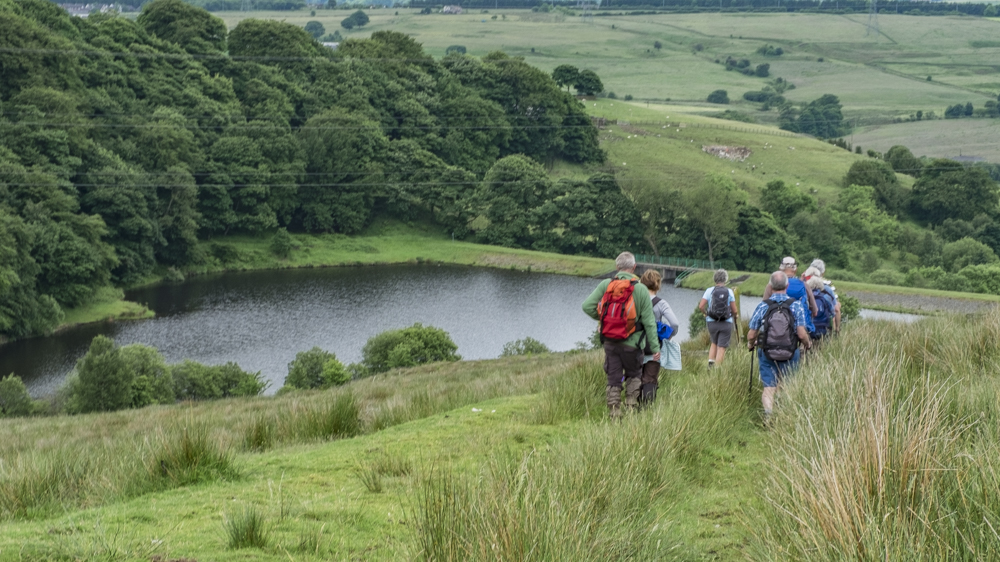
15 Jun Walk Leader: Dave & Kath Millington Haslingden Grane
Length of walk: 7 miles Number walking: 15
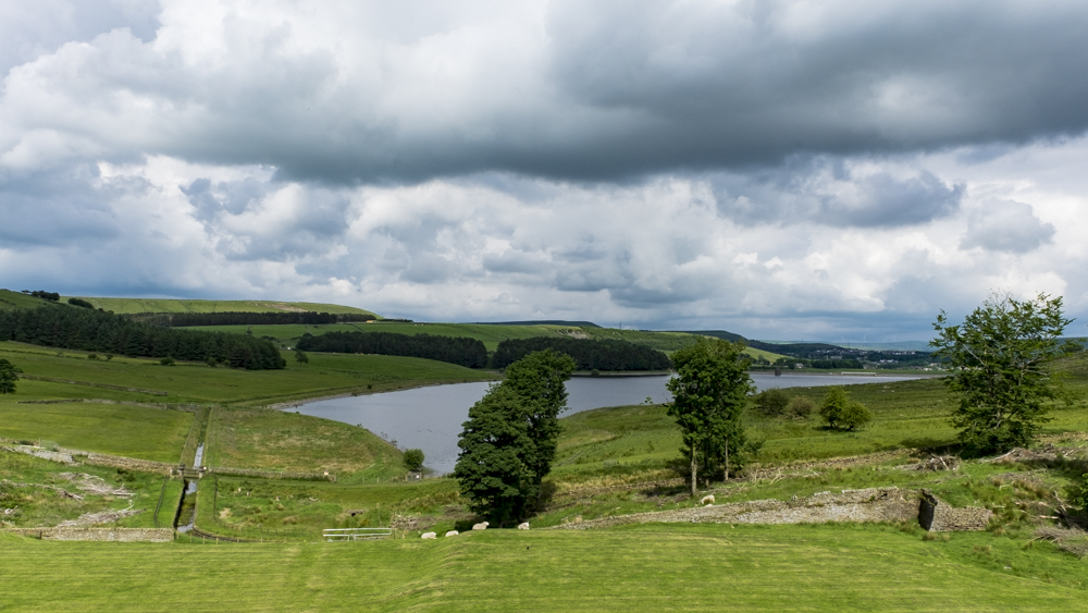
When all cars had completed their motorway journeys (some cars spent time sightseeing on the M6), we assembled at the Clough Head car park. This overlooks Haslingden Grane, which is the upper portion of the valley of the River Ogden. In olden days the valley held scattered farms which had a sideline of distilling whisky. The authorities decided that a good way to put a stop to this illegality was to fill the valley with reservoirs and this was done in stages from 1842 to 1912.
However tempting it was to walk along the edge of the reservoirs, we turned our backs on them and darted up the steep hill on the edge of the car park leading to Oswaldtwistle Moor. We skirted the wind turbines and set off for the metropolis of Pickup Bank. Not many people live there and they are outnumbered by the hills that we walked up and down again and again. In the distance we could see the Jubilee Tower above Darwen but that was one hill too many for this walk.
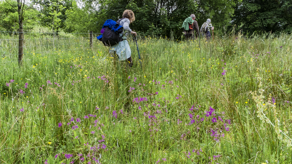
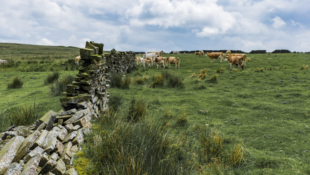
Pickup Bank was the furthest extent of our walk and we climbed up to our carefully selected location for lunch. The paths in this area have been abandoned and overgrown by several feet of every type of tough weed available. Our party walked near the paths where vegetation permitted. We successfully passed several horses without injury. Some of the horses sported hoods to keep flies from their eyes and ears. When we reached Chapel Wood – our lunch spot – we realised why this was necessary.
Chapel Wood has been created by the local people and businesses as a delightful location to rest on the benches, eat at the picnic table or gaze across the valley. It is a lovely site but it also contained a cloud of midges from which there was no escape until the rain came. The uncharitable among our party hoped that the heavy rain had drowned the midges; there was enough water coming down to hope that was the case. The rain certainly gave us something else to think about.
Shortly after we set off, the rain stopped and sun appeared to cheer us up as walked towards the reservoirs. On the way we disturbed a herd of cows with calves with the result that the cows created a protective circle in which those calves that were biddable stood together.
The path to Calf Hey reservoir took us down and up a number of hills and included sections of dappled shade that provide a delightful respite from the hot sun when walking through woodland. As we reached the reservoir we paused before traversing the longest stretch of flat ground we had seen since the start of the walk. It was a joy!
The grass on the lower slope of the dam wall had been beautifully mown which puzzled the philosophers at the back of the group who could not understand how this had been done without ploughing holes in the grass.
The flat section completed, we now had to climb back to the car park where the shop had stayed open long enough to supply refreshments to the weary walkers.


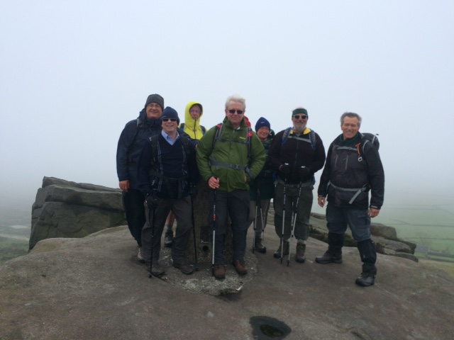
22 Jun Walk Leader: Ralph Browse Cat & Fiddle from Wildboarclough
Distance to Start: 19 miles Length of walk: 9 miles Number walking: 20
When Janet Thompson walked with us and the walk took us along Cumberland Brook leading into the valley of Wildboarclough she would visit Harold’s ashes that she had scattered there. Now that her ashes are also there, the group made a pilgrimage to the site.
Obviously we could not just visit Cumberland Brook from the starting point at Clough House. That would be too simple. The Cat & Fiddle pub at the summit of the road from Macclesfield to Buxton provided a suitable target and we marched off towards it. Our new member Susie demonstrated her enthusiasm by keeping close to the front; or it might have been her desperation to avoid falling in with the group at the back.
The Cat & Fiddle has been closed all year but the picnic tables are still available outside so we made use of them to eat our lunch in the rain. After lunch we took the long track below Whetstone Ridge along Danebower Hollow down to the footpath by the River Dane. It was obvious as we dropped lower and lower that a long climb back up was coming so that we could return to Clough House car park. Just before we reached Three Shire Heads, Ralph took us back up the hill and then down along Cumberland Brook. Doreen had switched her imagination to crime-fighting after seeing a large sheet of agricultural plastic at the bottom of a ravine and, assuming she had discovered a crime victim, wanted the police called. It was a long way down to the sheet and the car park was a stronger attraction than an appearance on Crimewatch so no action was taken.
We finished the walk without being attacked by animals and nobody fell over so that was a success.