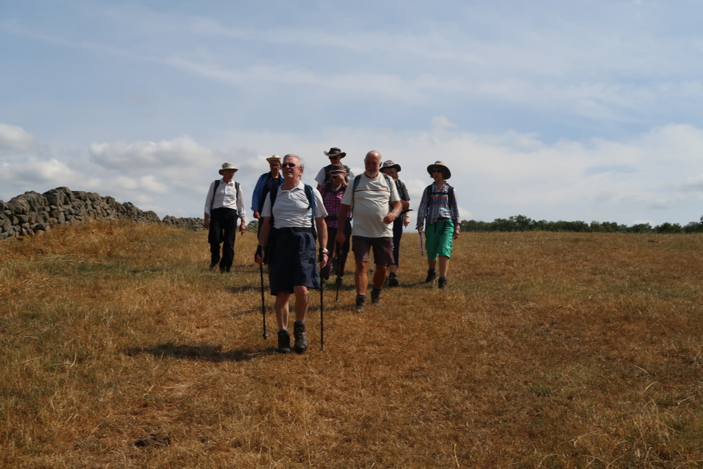
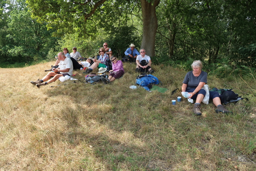
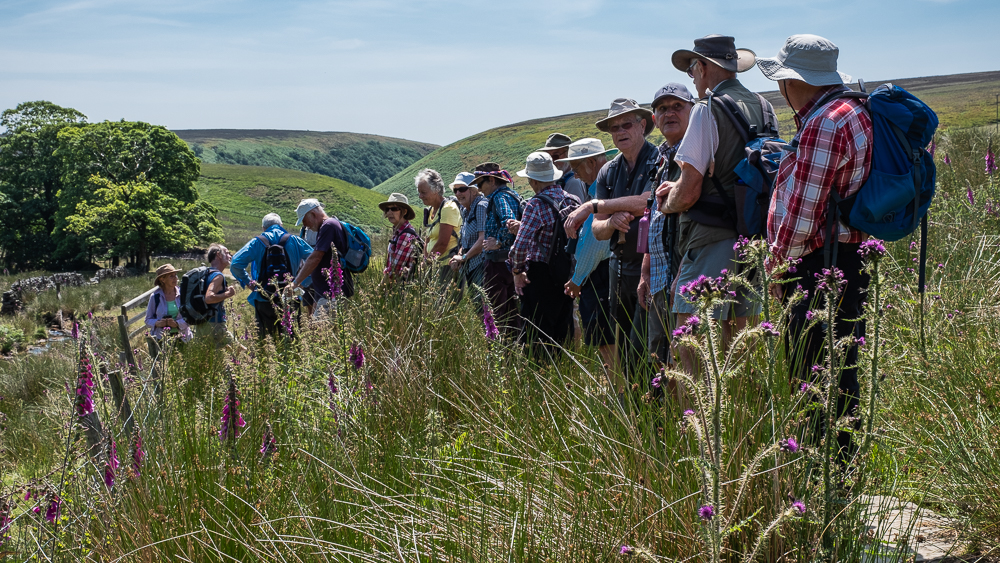
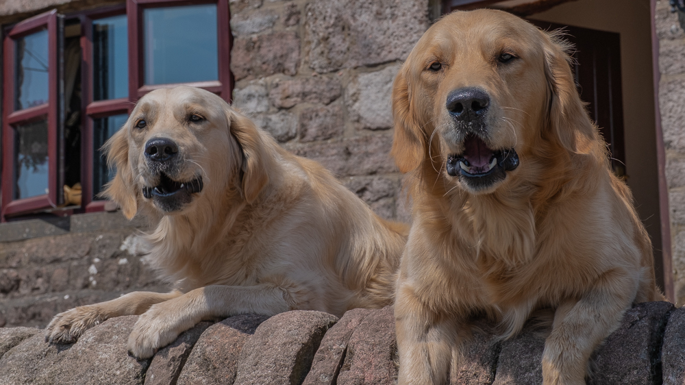
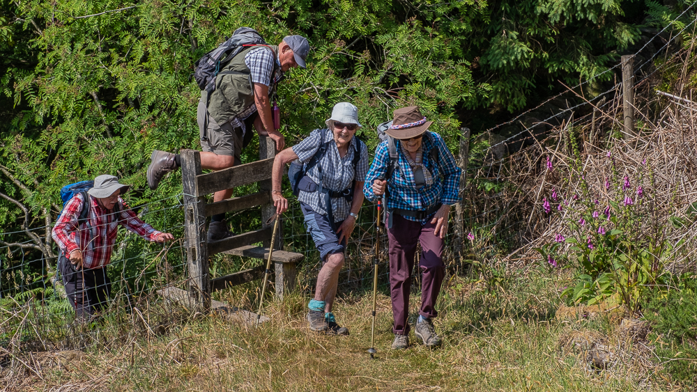
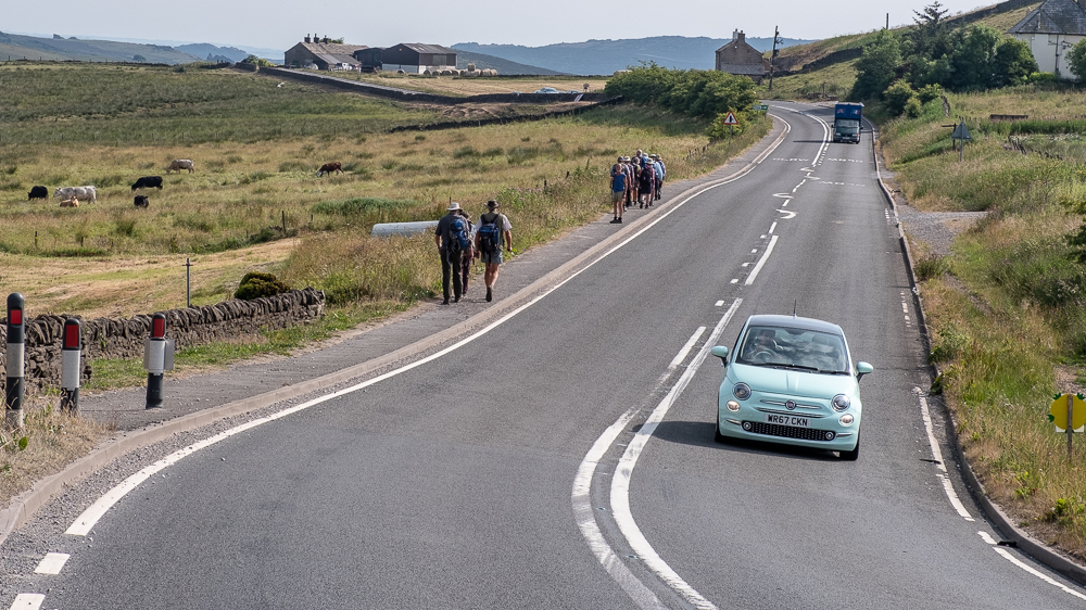
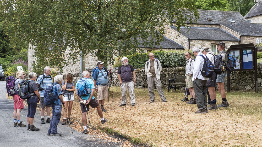
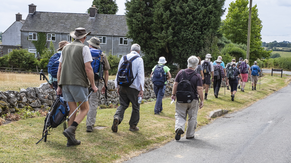
4 Jul 2018 Flash Walk Leader: Beryl, Length of walk: 9 miles, Driving Distance: 24 miles, Number walking: 17
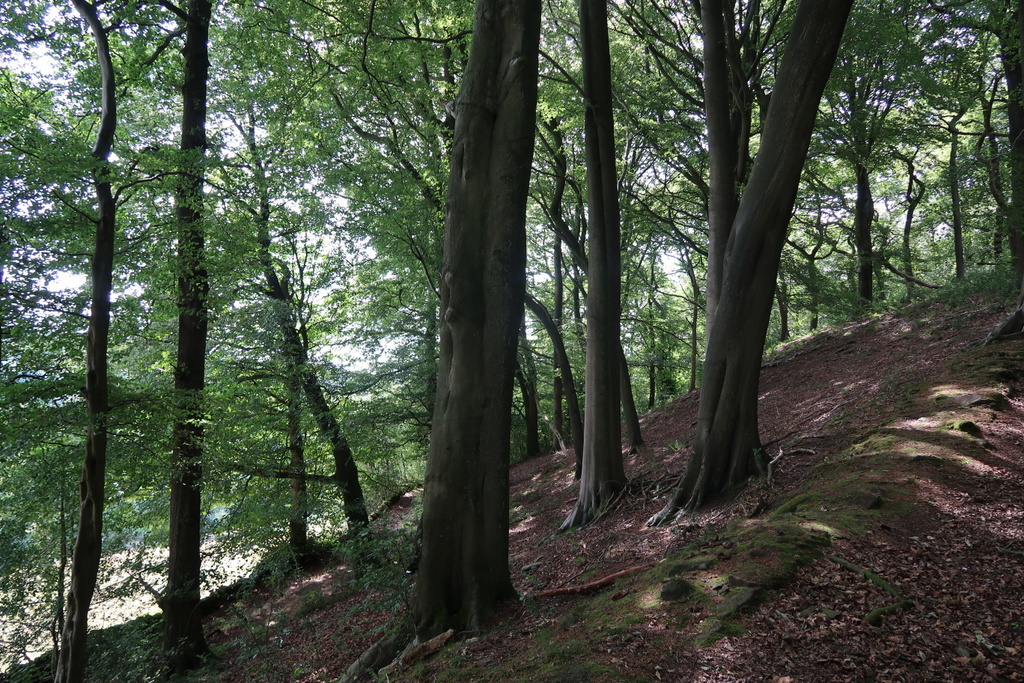
With the heatwave its 5th week, we hoped for a cool breeze as we climbed to Flash – the highest village in Britain at 463 metres above sea level. Unfortunately the breeze was present only fitfully so we had to carry on as best we could. The name of the village has spawned a legend that button-makers used their presses to make counterfeit coins hence the phrase “flash money”. This is plainly nonsense, since there is no such phrase in the Chambers dictionary and Google finds it only in connection with the village legend. It’s lucky the group has a proper researcher to scotch these items of fake news.
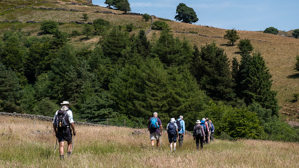
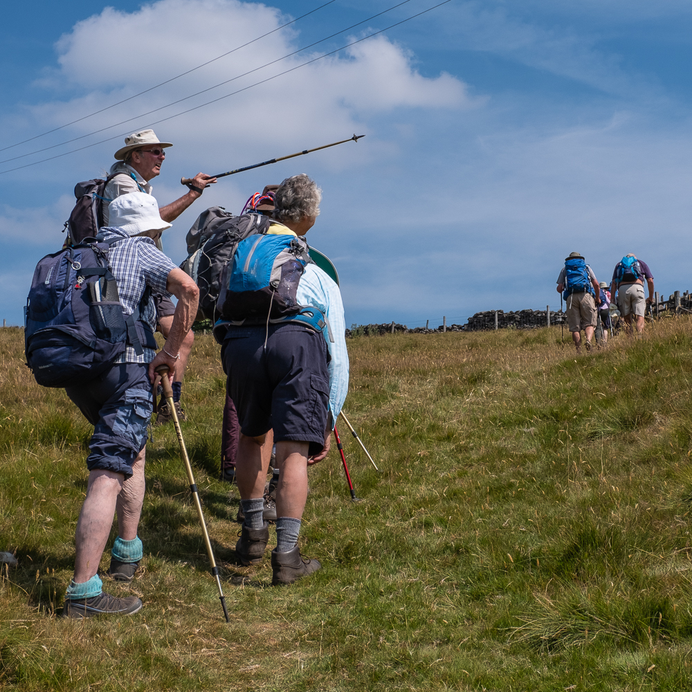
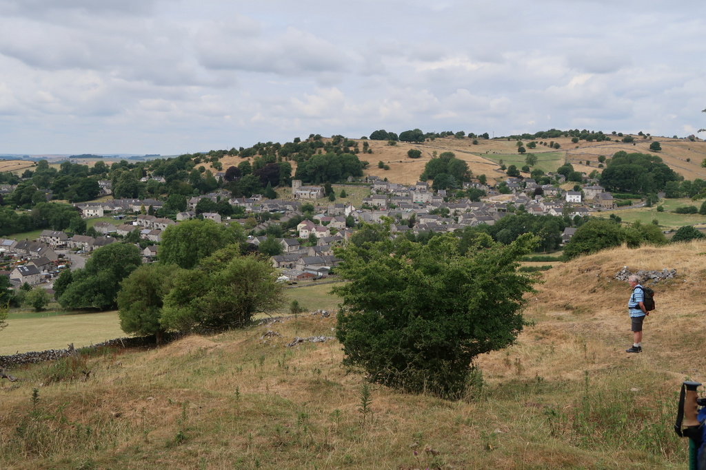
We left the village towards Axe Edge Moor and stopped for the first refreshment stop by some rocks which provided rough backrests. The clear sky gave us views over many of our regular walking areas but we took the Dane Valley Way for our next stage. It was along this path that our leader announced that a woman was approaching. As the newcomer came close we could see that in the shade of the leather hat, the mutton-chop whiskers, beard and moustache belied the rather fleshy chest that confused our leader at a distance. Nonetheless, we have the Specsavers phone number in case she needs it.
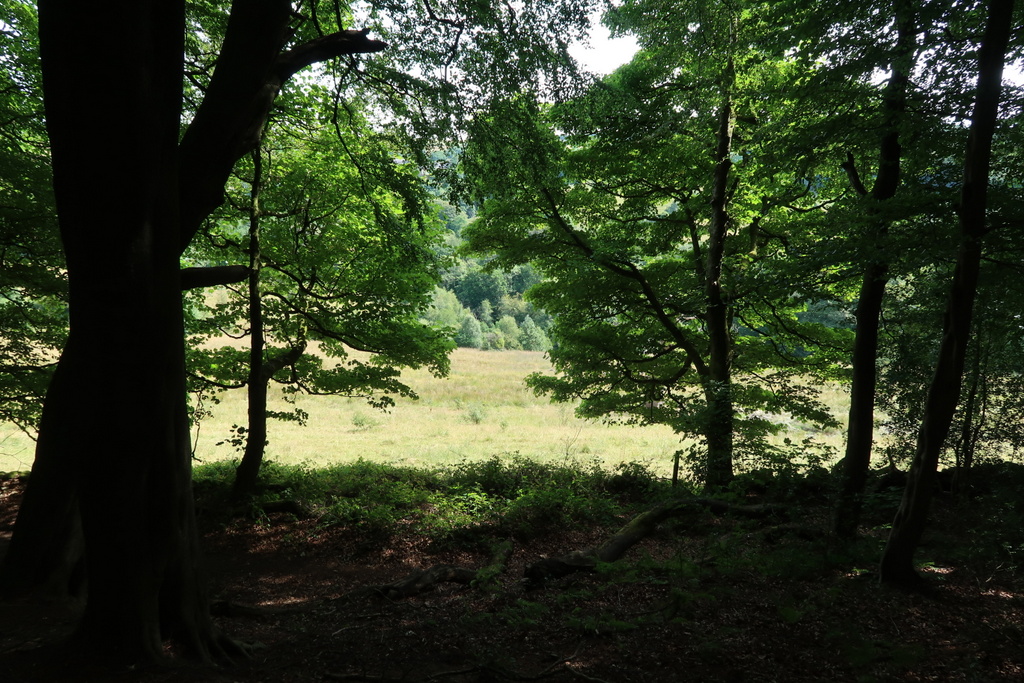
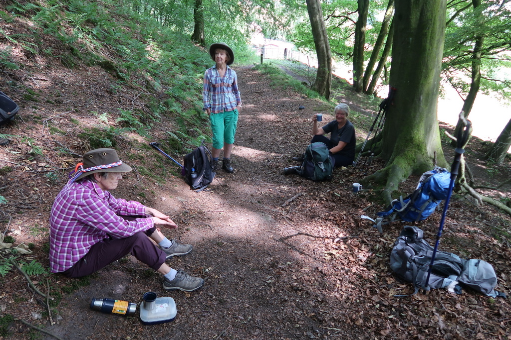
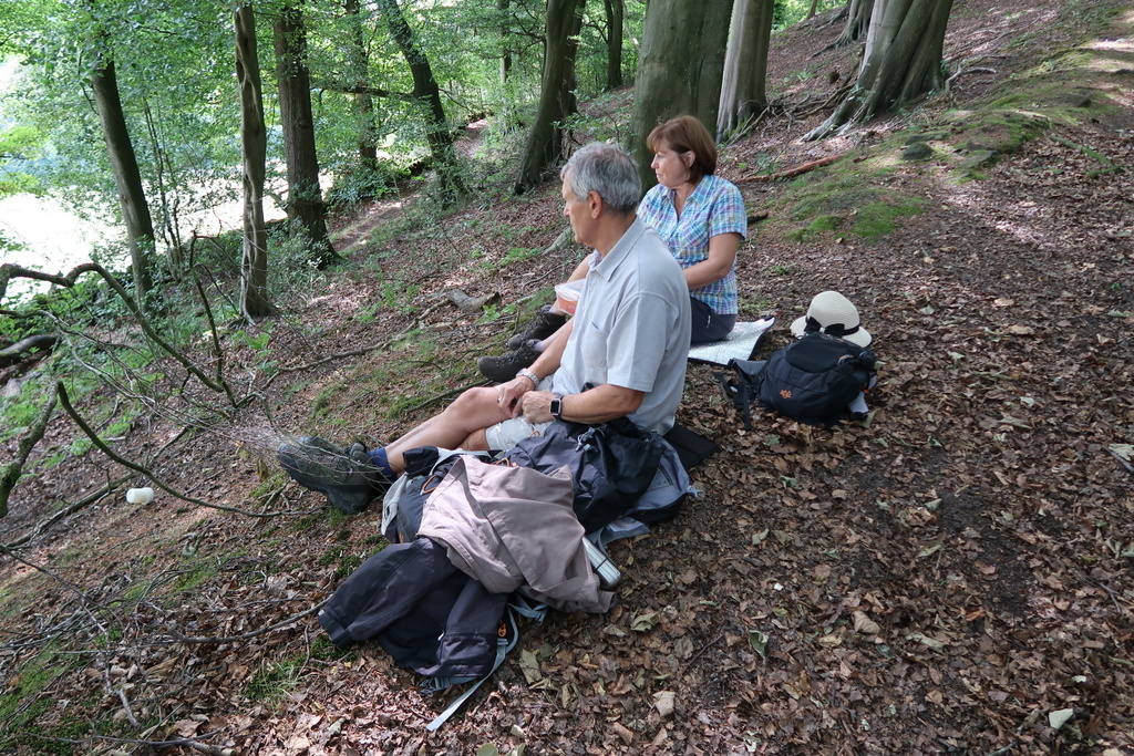
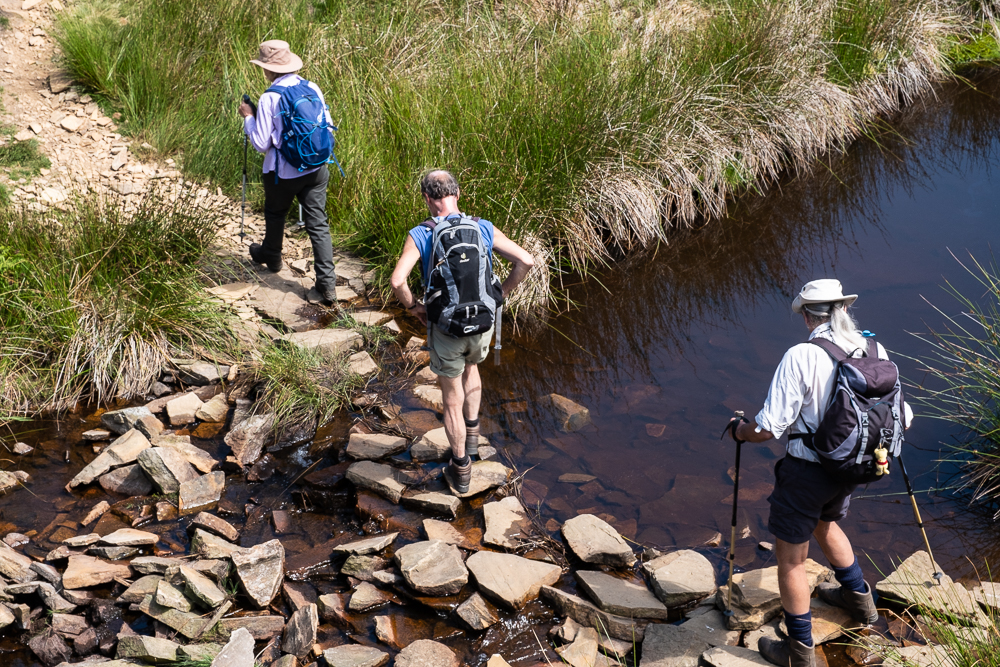
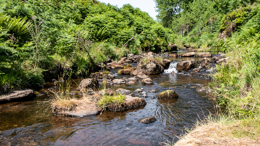
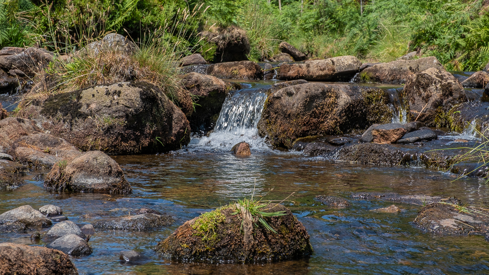
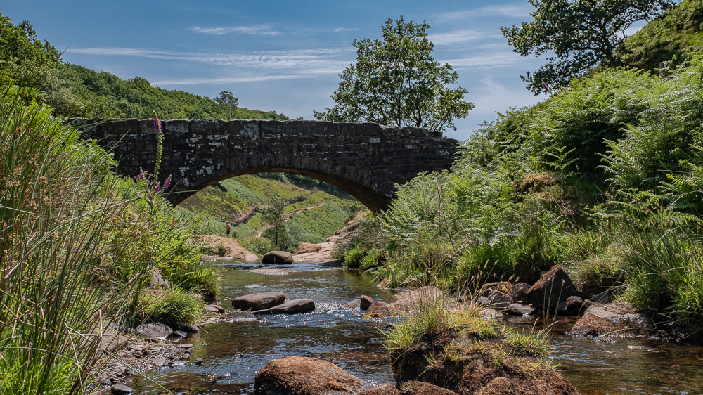
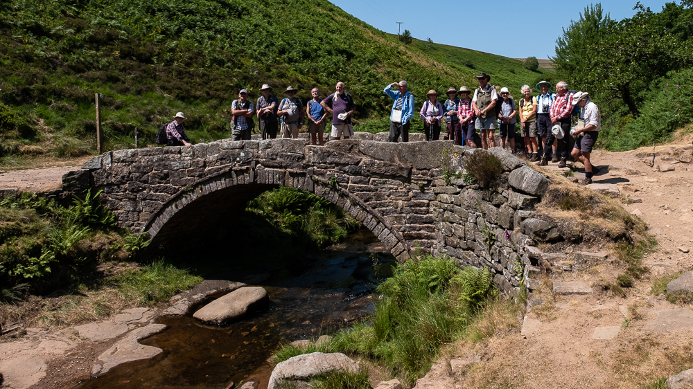
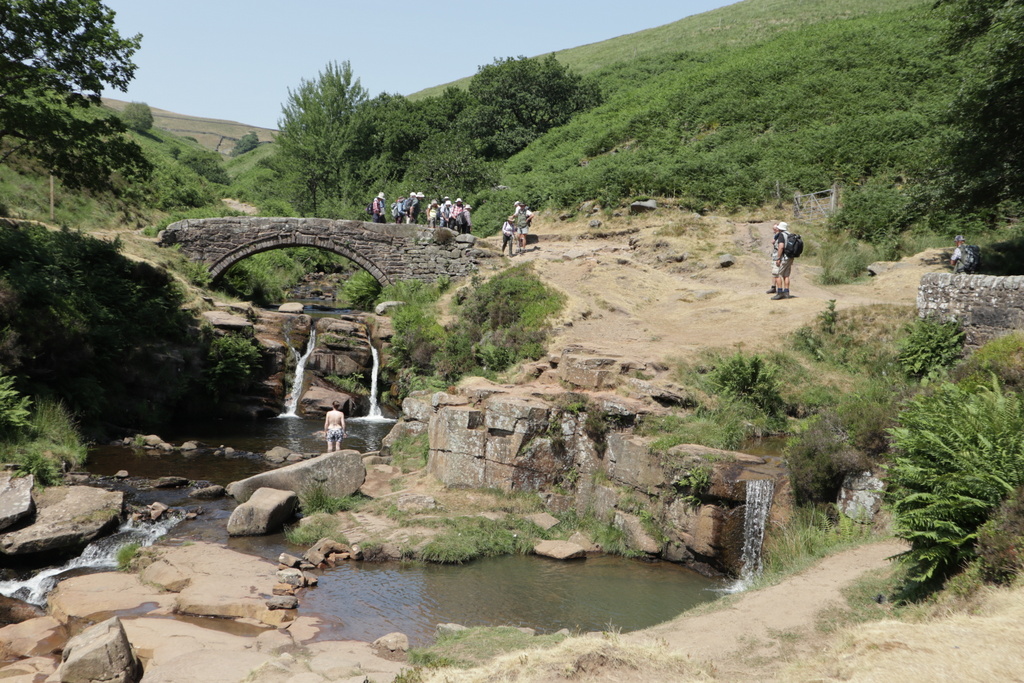
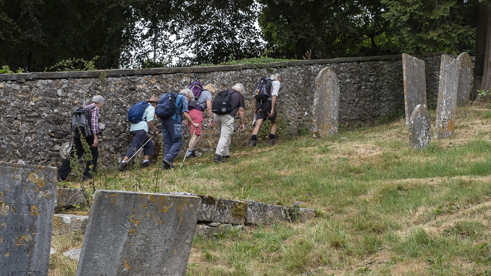
The site for lunch was the well-known Three Shires Head (or Three Shire Heads on OS maps) but we didn’t go straight there. Instead we visited the quarry by the infant river Dane at Danebower where Stephen explained why sandstone can cleave in a similar to slate but not as thinly. The stepping stones in the river allowed us to cross into Cheshire dry-shod but there was a surprising amount of water flowing given the weeks of hot weather with little rain on the plain. Following the Dane Valley Way along the Cheshire – Derbyshire border we reached Three Shires Head to find it occupied by some wild swimmers and a couple of walkers. After we settled down to eat, the numbers swelled as a group of contenders for the Duke of Edinburgh Award rolled up and the “bearded lady” we met earlier emerged as their assessor.
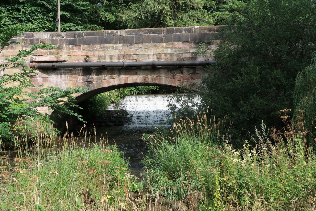
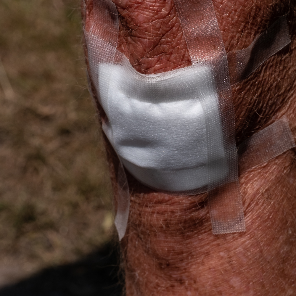
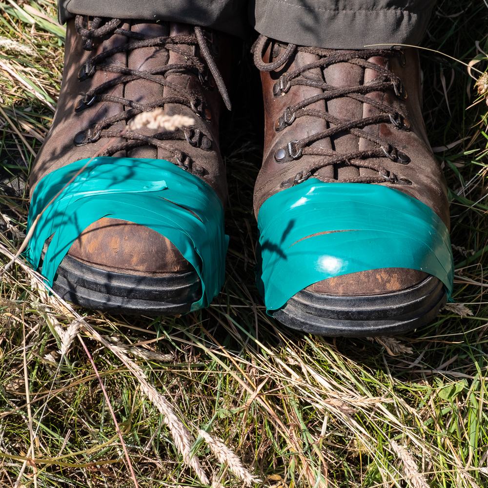
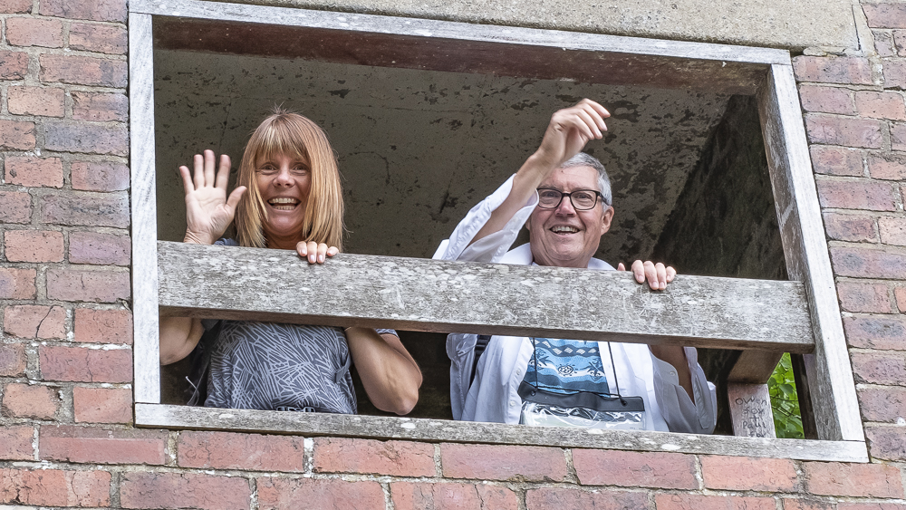
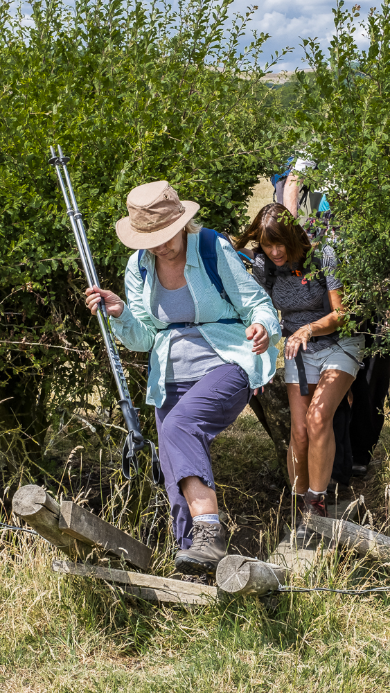
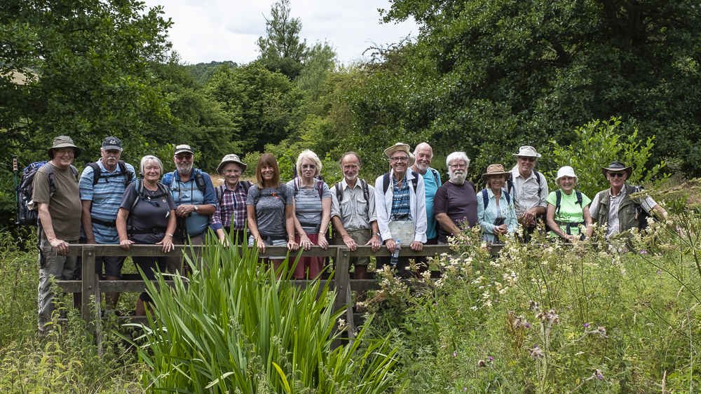
As we assembled for the bridge picture, the back marker, hurrying to bag a good position, fell off a rock and scraped his leg. Who would know that so many people carried first aid kits? He soon cleaned the debris from his leg and Paul Billington applied a fine dressing to keep the blood contained.
The peace of the scene was disrupted by the arrival of two trail bikes, prompting Ralph to explain the role of the Peak District Green Lane Alliance which campaigns to preserve byways in a fit condition for non-vehicular traffic (like walkers). Its website is www.pdgla.org.uk and you may want to contact them if you spend much time walking along paths like the one we took to Flash.
We climbed the hill back to Flash but the leader was taking no chances in the final leg of the walk. She wanted to ensure that we called in at the Travellers Rest so bypassed the layby where we parked the cars and took a long way round that actually passed the entrance to the pub car park. The trick worked and everyone was successfully rehydrated.

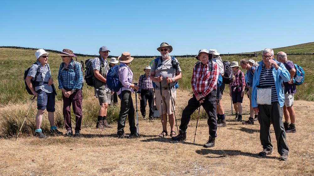


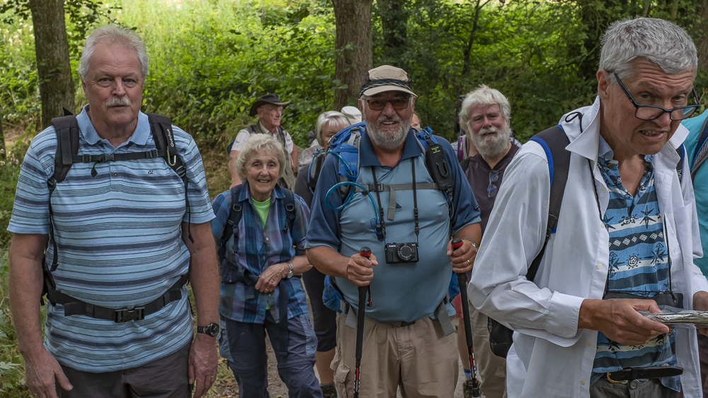
18 Jul 2018 Carsington Water Walk Leader: Ruth & Bill, Length of walk: 11.8 miles, Driving Distance: 40 miles, Number walking: 16
Carsington Water is a reservoir in Derbyshire between Wirksworth and Ashbourne. The reservoir receives water pumped from the River Derwent in winter through 6.5 miles of tunnel and aqueduct. In summer the water is released back to the river for abstraction and treatment downstream. The extent to which the water can be used in summer is limited by the leisure activities now based around the reservoir including walking, cycling, fly fishing, birdwatching, sailing, canoeing, and windsurfing.
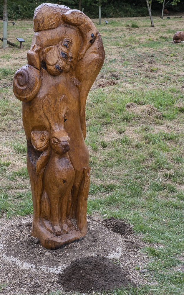
The car park to satisfy the million users who visit the site each year was our starting point and we set off around the edge of the water for Carsington village. The woods through which the path took us were populated by whimsical carved animals, which were unaffected by the drought that has parched the entire country. A tower left over from the war, when the area was a bombing range, provided a suitable platform for Bob and Susie to climb and pretend to be royalty and of course Ralph indulged them.
The children’s play area in Carsington village featured enough seats for the group to take our rest stop in comfort but we were surprised to be hit by a light shower that nobody expected. After a few minutes the shower passed away and we carried on without donning waterproof gear – especially those who had decided not to bring any!
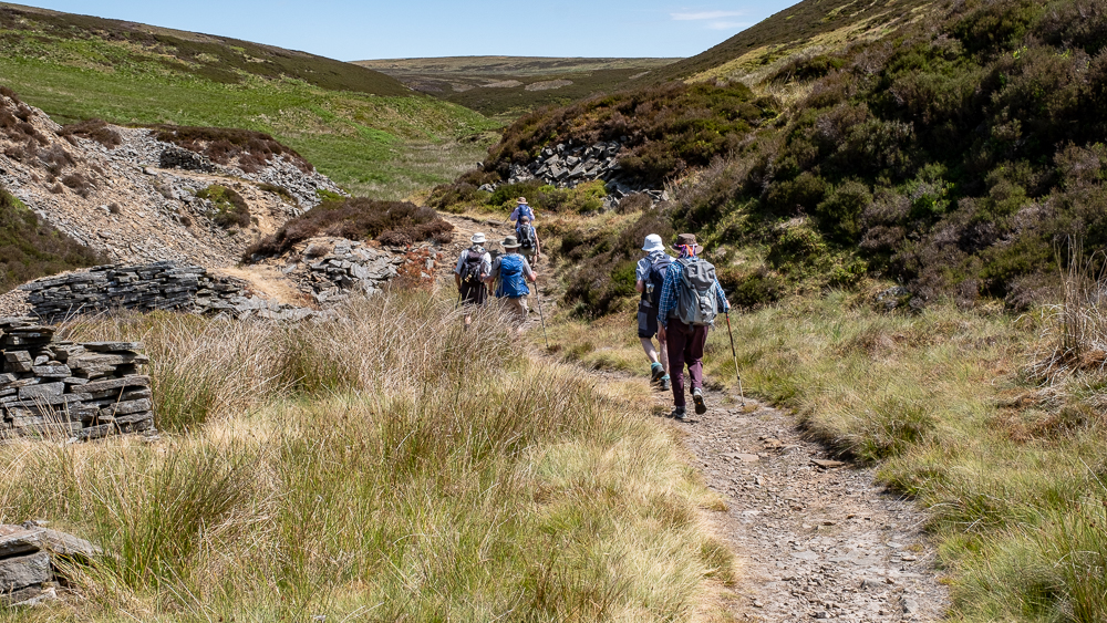
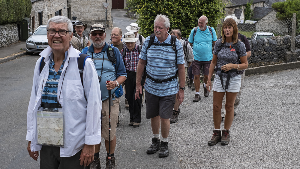
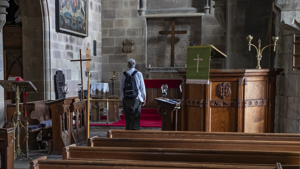
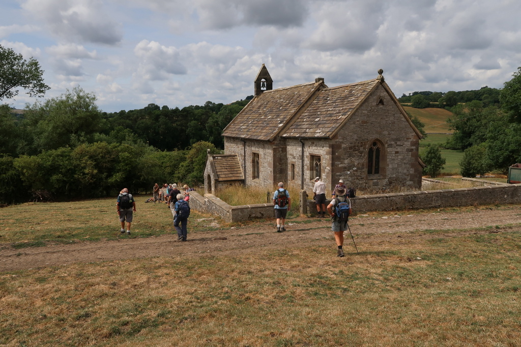
On our way to Brassington we noticed that we were followed by a similar group to ours. However, they stopped on a hillside as we strode on through the abandoned lead mines that litter the area. The village lay beneath us as we walked down to it and it is almost entirely grey; a few pastel rendered walls would lift it nicely. Just before leaving the village we passed the Norman church with its brand new path and some walkers popped in to nosey round.
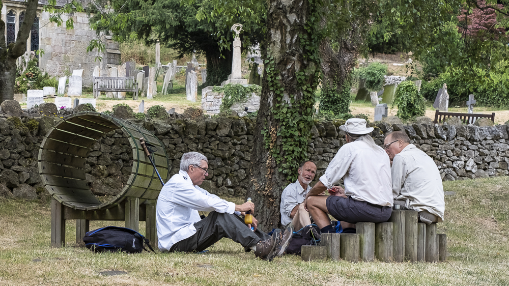
There followed a stiff climb until we could see the remains of the village of Ballidon, where we had a booking for lunch in the abandoned churchyard. A massive quarry has been created where the bulk of the village used to be and few inhabitants remain. Several stone trucks passed as we ate lunch on the churchyard wall.
After lunch we turned south to Bradbourne, which advertises itself as a “doubly thankful” village. This means that none of its residents were fatal casualties in WW1 or WW1 and it shares this distinction with 13 other parishes in England & Wales. There are 53 parishes in England & Wales that were only “thankful” for losing nobody in WW1 but the research has not been done for Scotland & Ireland so there may be more to be reported. This does raise the question; “Did they send anybody to the conflicts?” Another mystery!
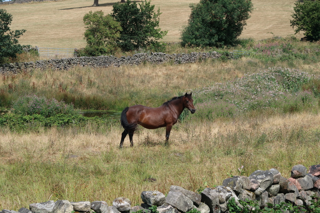
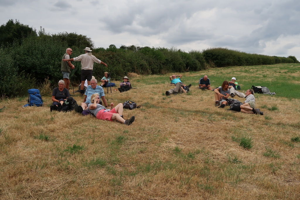
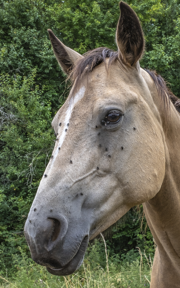
After leaving Bradbourne we crossed a gushing stream and took the opportunity to have a bridge picture over it. The walk continued until we saw Carsington Water again. At this point most of the group flopped to the ground in the heat for whatever drink and food they had left. The final leg of the journey took us to the dam wall past a herd of horses. Luckily Doreen wasn’t present, otherwise we would have had to wait while she cleared the flies off their mournful faces.


25 Jul 2018 Oakamoor Walk Leader: John & Doreen, Length of walk: 8.5 miles, Driving Distance: 30 miles, Number walking: 11
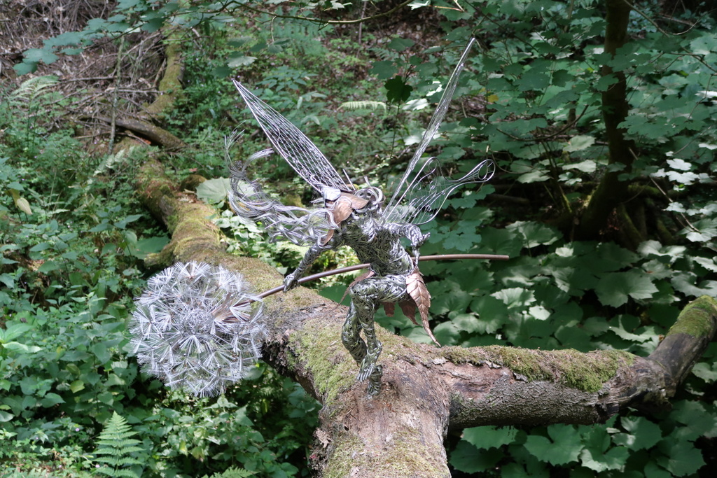
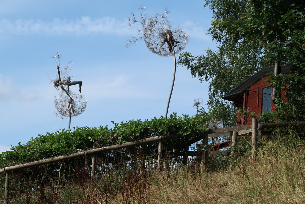
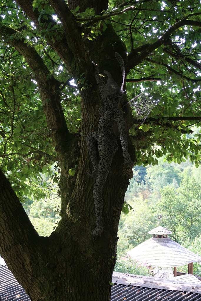
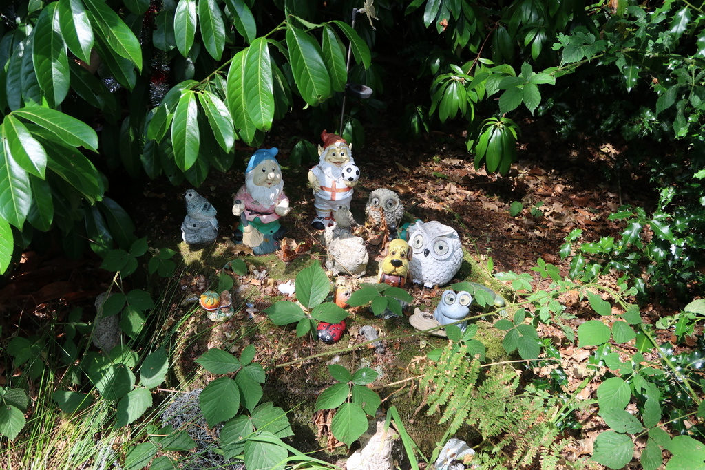
The car park at Oakamoor is next to the site of iron and copper works that were demolished in 1966. It is now a grassy area except for a few large stones. The path out of the Churnet valley took us through woodland where we came across a delightful fairy sculpture on a fallen log. Surprisingly there was no indication of the person or organisation responsible for installing the sculpture and we were surprised that it hadn’t been vandalised. When we left the wood we saw more fairy sculptures by a workshop. The sculptor must be ready to replace any that are stolen or wrecked.
In response to the hot sun we stopped for a drink in the shade of some proper trees like beech but our rest was disturbed by constant barking from a garden 200 yards away. The source of the noise turned out to be a pack of foxhounds enclosed in a wire cage (fortunately).
After leaving the hounds behind, we spotted Cotton College across the valley. Several previous walks have passed more or less close to these grade II listed buildings and its history as a Roman Catholic college has been told before. Research for this walk (i.e. Google) reveals the origin of the settlement in what is best described as the middle of nowhere. Frederick Faber came from Yorkshire with some chums calling themselves the Brothers of the Will of God. The Earl of Shrewsbury encouraged the small religious community to spread the Roman Catholic gospel to the locals by giving them the use of Cotton Hall. Sadly there were no Catholics in the area, other than the Earl’s household at Alton Towers and the Brothers soon moved to London.
Stephen, finding few rocks on the path, started to rekindle his youthful passion for butterflies but in the decades since he hung up his net, they have become scarce. He did reveal that the Cabbage White is actually two varieties – the large white and small white. We never stop learning.
We passed a cottage built into a large rock. It has the name Rock Cottage to help the unobservant and we walked through its drive to enter a field with a single cow and calf. The cow had large downward-pointing horns and kept a close eye on us as we came near its calf but we continued safely to Whiston Golf Course.
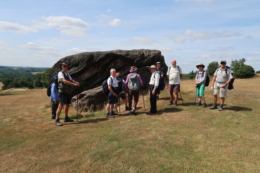
As the path crossed the fairway near another large rock (without an attached cottage), we examined it closely. Bob tried to climb to the top, Betty searched for coins a crack while Stephen explained the layers. We emerged from the shelter of the rock to negotiate a ceasefire with the golfers while we crossed their target area.
There is a house in Whiston made of copper slag. It is not an attractive material, but it was available and cheap and the house is still standing. Stephen found a lump of it on a track and took it as an exhibit for the study centre at the Ecton copper mine.
After lunch under a shady tree, two of the party made several attempts to rise from a sitting position on the ground without using hands or knees. It is not easy but they both managed it; the others watching admiringly.
Down by the river we took a bridge over the track of the Churnet Valley railway where the ironwork had been removed long ago, before crossing the river Churnet over a rickety wooden bridge with a built-in wasps’ nest. No walkers were harmed in the crossing.
As we climbed out of the valley on the other side we met a Severn Trent Water man who advised us of the presence of a hornets’ nest. The nest was not on our route but he didn’t tell us about the dead sheep that was. The smell of death was foul and Bill did not take it well.
We emerged from Hawksmoor Wood and crossed the road to follow the Staffordshire Way down through the trees. When we reached a single-track road, John refused to follow it down to Oakamoor because Barrie had driven down it in error after falling out with his satnav. Instead we had to climb up another hill and over the top to come back to the road again. This brought us back to the car park, which is conveniently placed next to two pubs that don’t open for walkers.