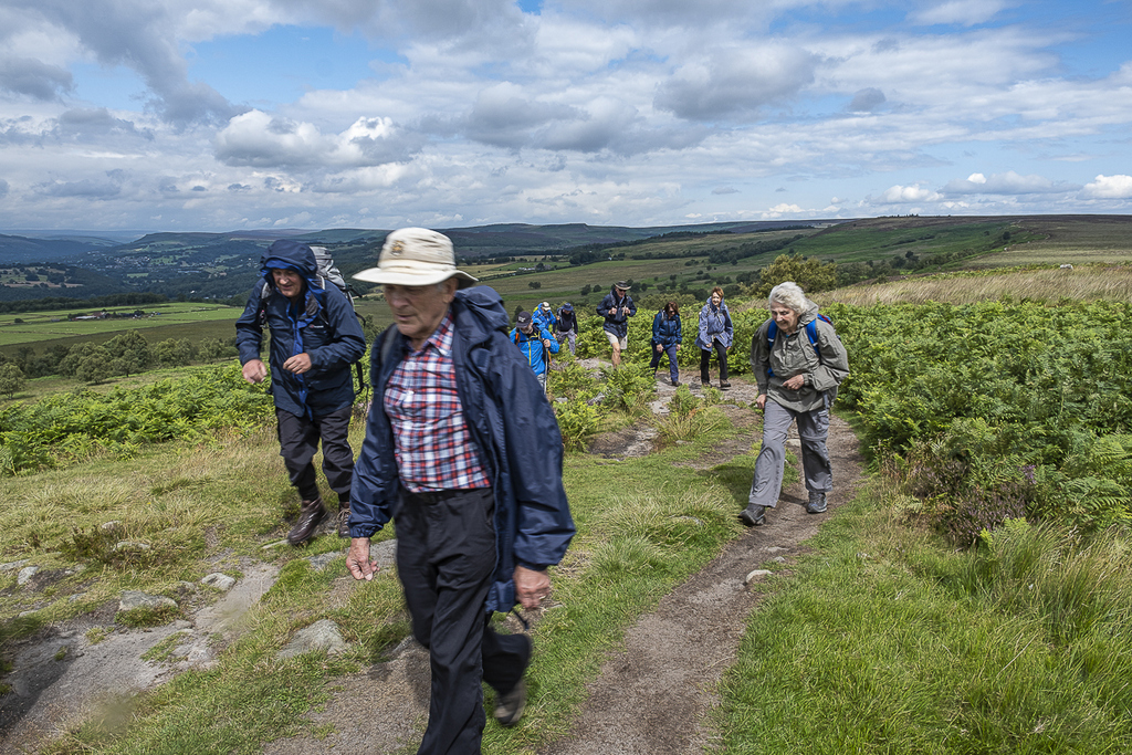
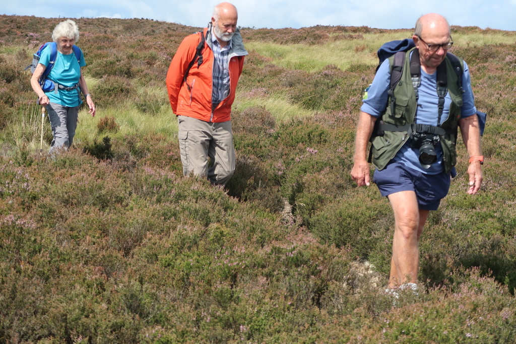
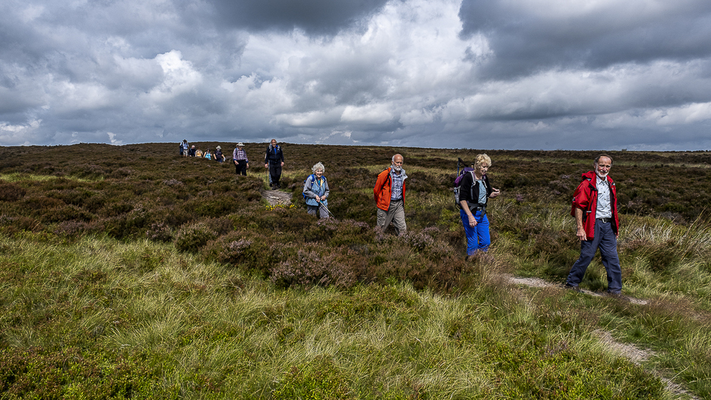
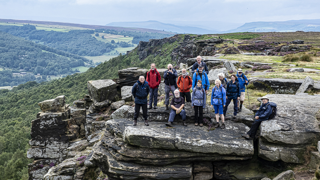
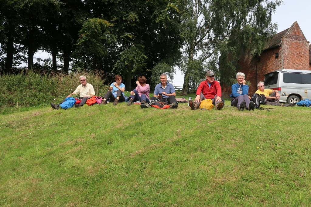
7 Aug 2019 Longshaw, Big Moor and various Edges Leader: Ralph & Bill, Length of walk: 10 miles, Driving Distance: 40 miles, Number walking: 14
Click on this link to see the route on a map
The weather forecast promised showers and, the walkers having prepared themselves for both sun and rain, were treated to plenty of both as the day unfolded.
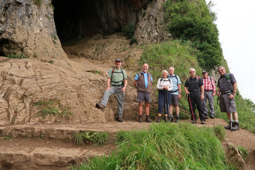
The Longshaw estate is an area of moorland, woodland and farmland located within the Peak District National Park in Derbyshire. The Duke of Rutland previously owned the estate but high taxes forced him to sell it and other areas of moorland in the 1920s. The National Trust bought Longshaw and has a tea room and visitor centre there. This walk didn’t see any of that. The car park boasted an information board and trees to duck behind.
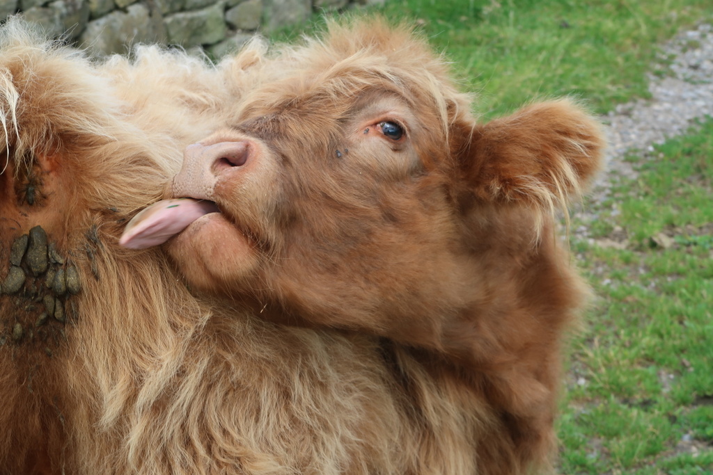
The information board did warn visitors to look for Northern Hairy Wood Ants and beware of boggarts. In spite of the best efforts of the walkers there were no confirmed sightings of any sort of hairy ant or a boggart. This is the North of England form of a bogle – a goblin – similar to the Scandinavian nis*.
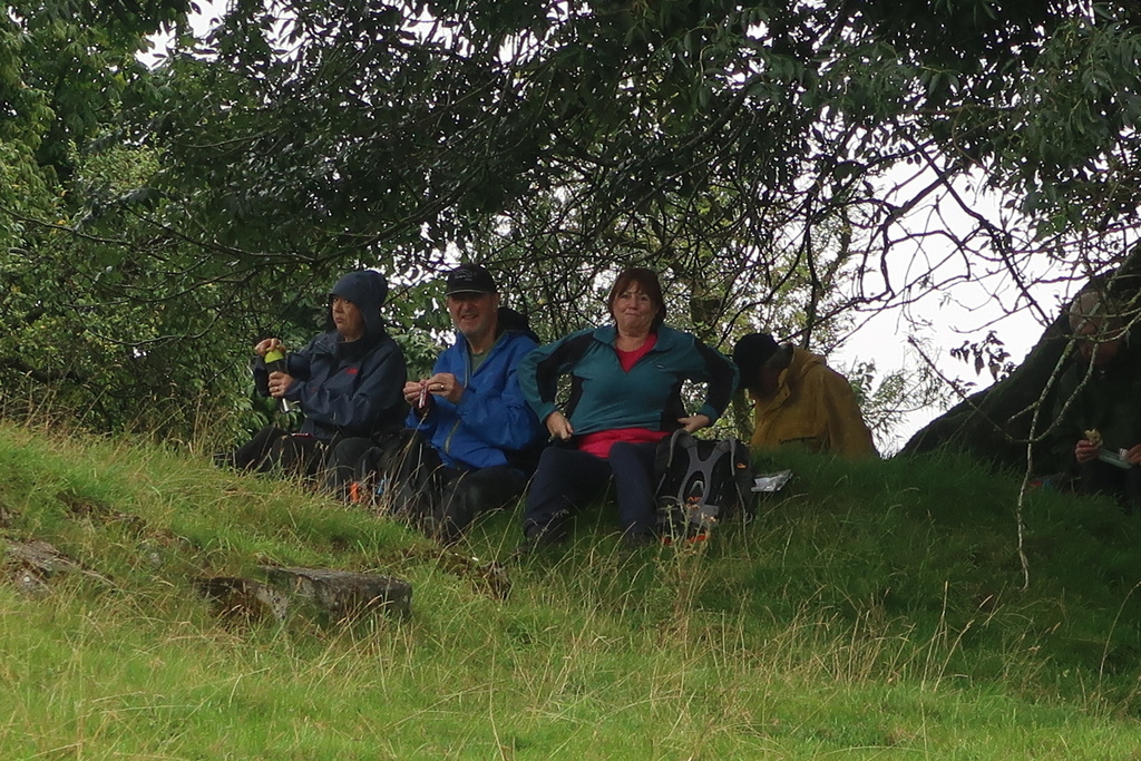
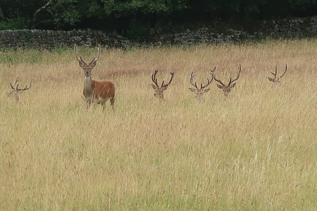
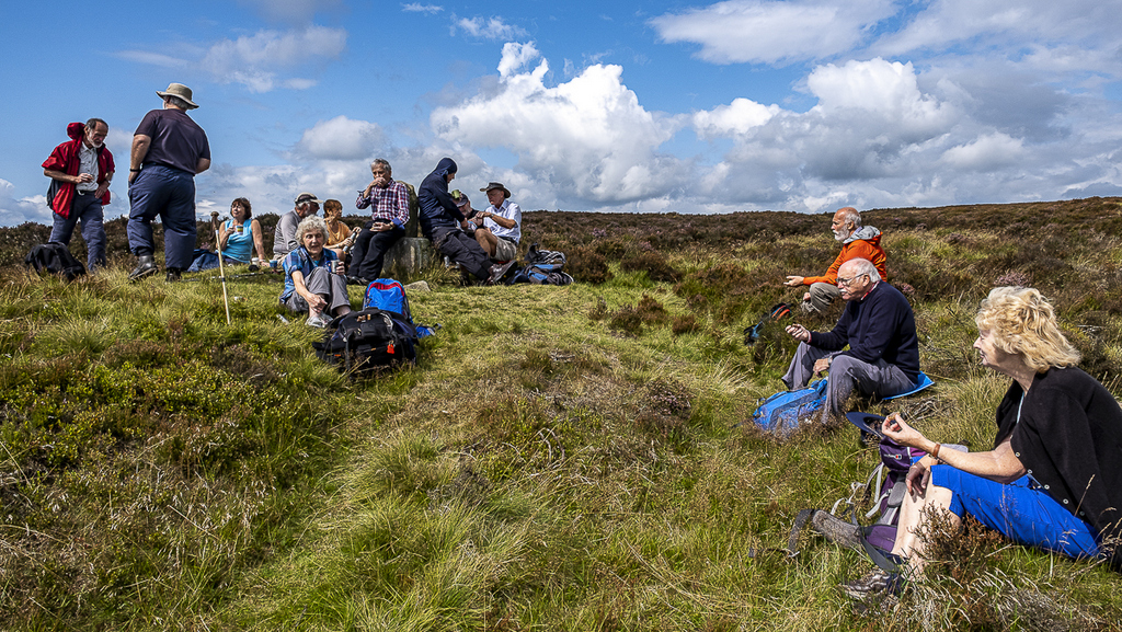
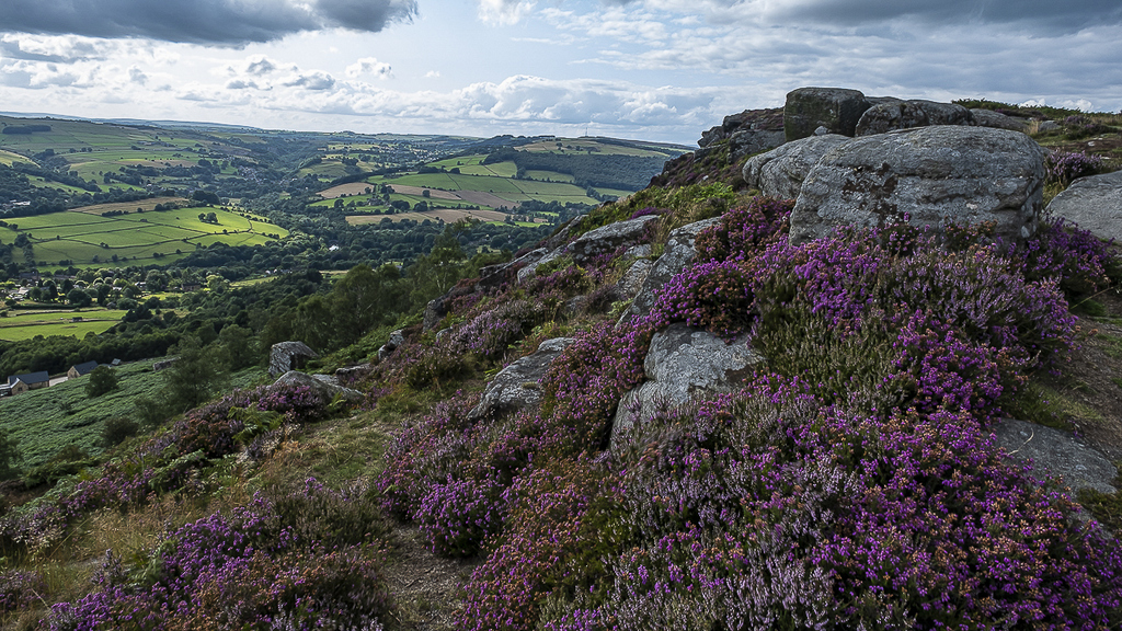
The walkers went south onto Big Moor, which has opened to walkers since the CROW Act, but has been a backwater for millennia. As a result there are Bronze Age stone circles, burial mounds and medieval pack horse trails to be seen. Ralph advised the group that these historical artefacts exist but warned that none would be visible from the route he was taking. To counter that disappointment he implied that the local red deer would put in an appearance; they didn’t. What did appear was a large box of cakes and biscuits from Ralph’s rucksack in celebration of a recent birthday. These delights enlivened the coffee stop and helped sustain the walkers for a late lunch.
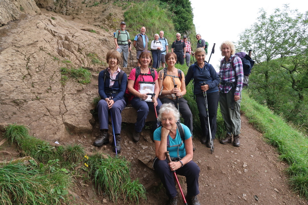
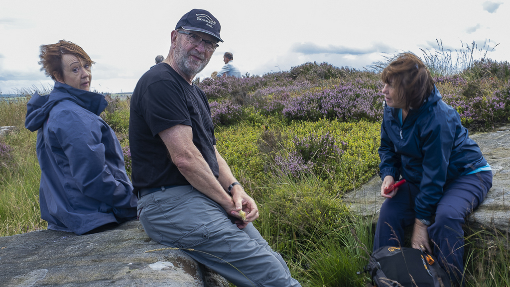
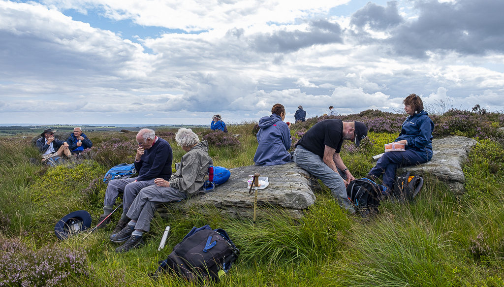
The site for lunch was around a trig point on Big Moor that had been decorated with a piece of paper from the Karabiner Mountaineering Club (KMC). Several more of these papers appeared further on and appear to contain clues that must be answered to prove that a KMC member had passed that point.
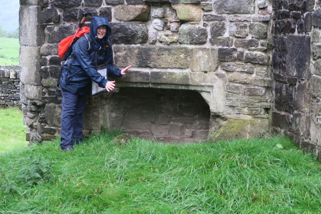
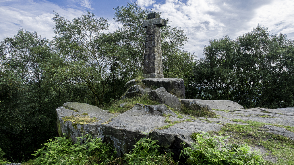
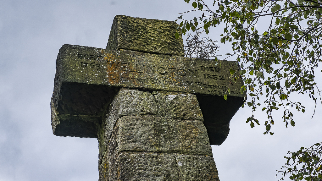
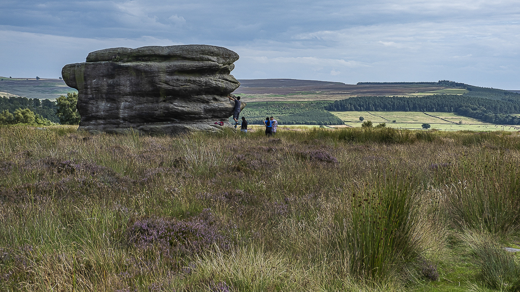
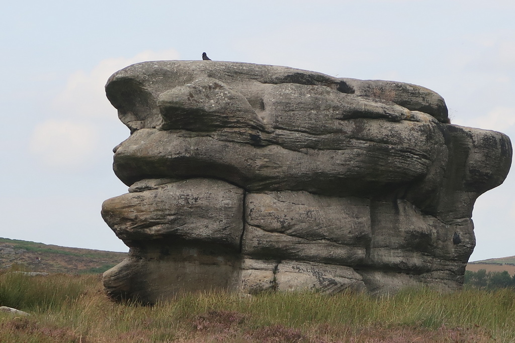
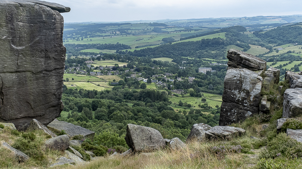
After lunch the party reached the southern extent of Big Moor to visit the Wellington Monument near Baslow Edge. Dr Lieutenant Colonel E. M. Wrench, a local dignitary, erected it in 1866 and he may have intended it as the army’s rival to Nelson’s Monument on Birchen Edge nearby. The report on the walk in June 2017 describes Nelson’s Monument in some detail. Further along the route lies the Eagle Stone, a 6-metre high block of gritstone / sandstone / millstone grit (See Stephen for full details). According to tradition, the local men had to climb this rock before they were worthy of marriage. According to Ralph, the young men of Dronfield came to throw stones at the climbers to prevent them getting the girl. This was a rudimentary form of ethnic cleansing.
According to another unlikely legend it took its name from the god, Aigle (pronounced eye glee), who had a habit of throwing boulders around. You have to wonder why the Greek Goddess of good health would hurl stones in Derbyshire but there is a possible justification. She was a daughter of Asklepios, God of medicine, and Epione, Goddess of pain relief. Their skills would come in handy if any lusty young man fell off while scampering up the rock.
There was a suggestion that someone of a daredevil disposition should climb the Eagle Stone but after a close inspection, the chance of getting an unspecified girl was considered an insufficient inducement.
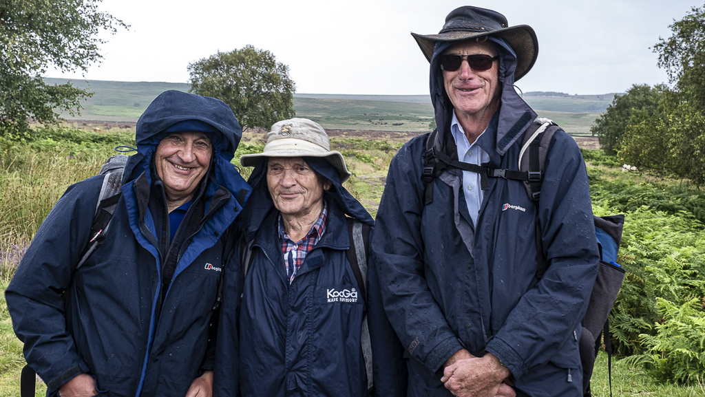
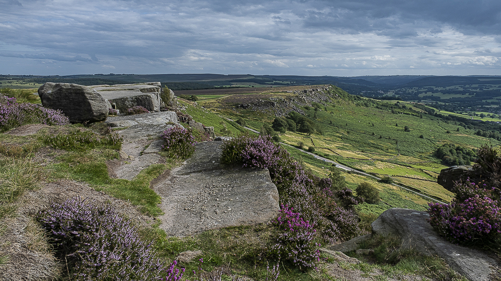
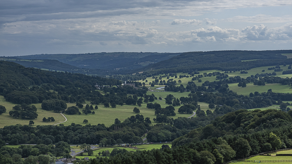
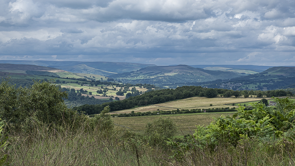
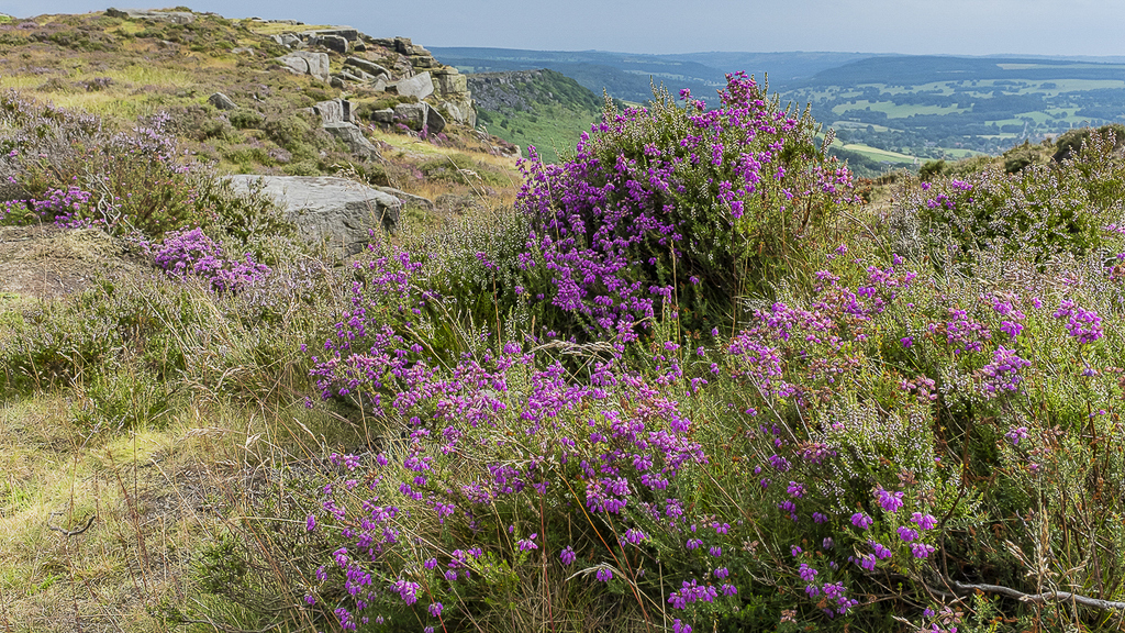
And now, the edges. First Baslow Edge, then Curbar and Froggatt. The walkers roamed along the eroded top of the moor overlooking the Derwent valley and risked life and limb to peer into the rocks and vegetation below. From this high point familiar villages were pointed out in the distance giving rise to thoughts of past walks and possible future outings. Martyn kept away from the edge while he was wearing his poncho in case the wind changed and turned him into the birdman of Curbar Edge.
Ralph was filled with nostalgia as he looked down at Cliff College in Calver. This is a Christian theological college, where Ralph camped in his youth and provided pictures to prove it.
The final stages of the walk went through and beside woodland with the usual disappointing contingent of silver birch as well as some proper trees..
*NIS a Scandinavian goblin, not to be confused with the word NYS – an obsolete form of “is not” [3 letter Scrabble words]


21 Aug 2019 Wenlock Edge Leader: Bill, Length of walk: 10 miles, Driving Distance: 55 miles, Number walking: 13
Click on this link to see the route on a map
This report suffers by not being written by our regular chronicler, whose ill health led to Barrie being our back marker while Bill led from the front – most of the time anyway. This substitute writer only volunteered because he was made to stand in a puddle of gloopy, cow-inspired mud until he acquiesced. It is possible that Bill confused the word ‘chronicler’ with ‘geochronology’ when issuing the invitation.
The first part of the walk is therefore somewhat sketchy as the writer was not paying much attention to where we were going, being engaged in recruiting our two new members – Simon and Lynda who have moved up from Hampshire because Cheshire is nicer – to other U3A groups to make use of their skills in music and classifying sub-atomic particles.
The car park at Presthope, near Much Wenlock, is fairly small and much fun was had on arrival by parking, re-parking, saving spaces and re-parking again, much like a do-si-do. Doreen wanted it set to music and suggested a cha-cha-cha – or perhaps car-car-car.
The party set off downhill. Wenlock Edge is in the form of a cuesta which, as you will remember from O Level Geography, is a combination of a steep scarp and a more gentle dip slope. Bill decided that we should experience both, in both directions. So on reaching the bottom of the scarp, we climbed back up again. The purpose was to gain access to an old railway track, built to carry Wenlock Limestone to iron works in Coalbrookdale, and closed in 1952, thus avoiding the ignominy of being axed by Dr Beeching.
Wenlock Limestone is famous to geologists around the world, but unknown to members of Sandbach U3A long walk group. The geochronicler considers it best to maintain this state of ignorance, especially as the Geology group is visiting the same area in October.
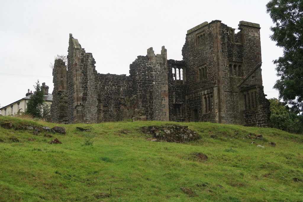
Lunch was taken at Wilderhope Manor, a fine Elizabethan country pad. It was probably not built originally as the YHA hostel it now is and so will remain, being a condition of its donation to the National Trust by John Cadbury. Lunch was taken on a grassy knoll outside the premises because U3A members are too old to use YHA facilities.
Our walks are usually marked by the number of stiles. In this case, it was the number of fallen trees which had to be negotiated by limbo dancing, creeping, crawling, clambering, or whichever method caused the greatest amusement. (Hint for next time – take your rucksack off first!). Bringing up the rear, Barrie usually had the best view, which is probably why he suggested that while ladies prefer fellas, what we needed were tree-fellers.
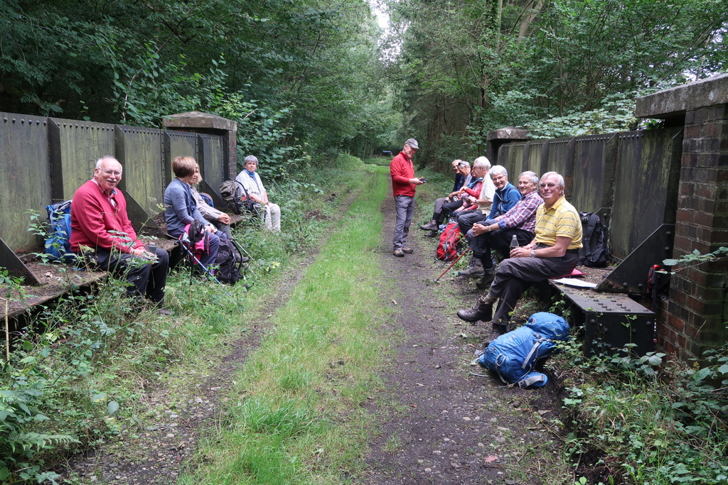
The tea break was at Easthope church. You may have noticed that all the names mentioned so far end in ‘hope’. Shropshire must have a lot of it. Our hope that we would follow the direct route back to the car park – but not so, when there is a hill to climb instead. But one with extensive views in all directions.
So what did we learn today?
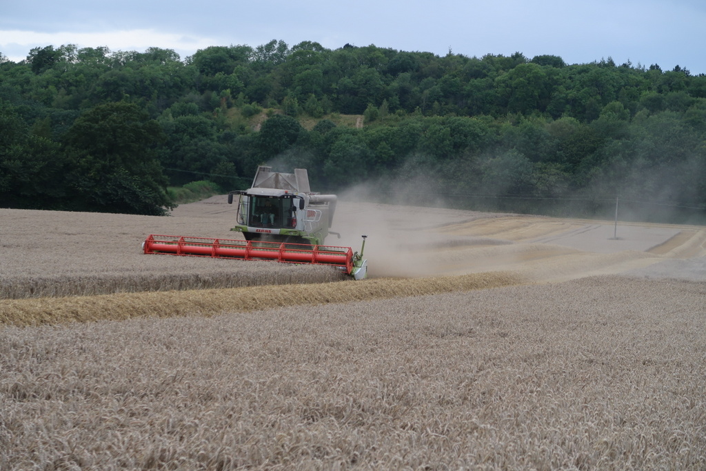
- That wheat fields in this part of Shropshire are very big.
- That contrary to reports in the media, this year’s wheat is perfectly good for making biscuits, as testified by Tom who consumed a bushel (or a wey*) of the stuff before the harvesters could get to it.
- That combine harvesters are now so big because they are made of two harvesters combined together.
- That – according to Paul – straw bales are now made in a cubic shape to make sure that cows get a square meal.
And finally that Shropshire farmers are a friendly lot. Even so, Bill took us through a tangled web of the official footpath instead of along the edge of the open wheat field just because the farmer was watching. This caused Beryl to trip over a bramble, but I promised her not to mention it.
Thanks to Bill for leading a very pleasant stroll through the lovely Shropshire countryside. The distance varied between 9.1 and 10. 0 miles, depending who had forgotten to pause their route-plotting devices during lunch.
*WEY a measure for dry goods [3 letter Scrabble word]


24 Aug 2019 Morecambe Bay
Some of the long walkers and some former members of the group rode the coach to Arnside for the walk across Morecambe Bay. The report is in the social activity section but you may click here to read it.
28 Aug 2019 Wetton & Manifold Valley Leader: Doreen & John, Length of walk: 8.5 miles, Driving Distance: 32 miles, Number walking: 14
Click on this link to see the route on a map
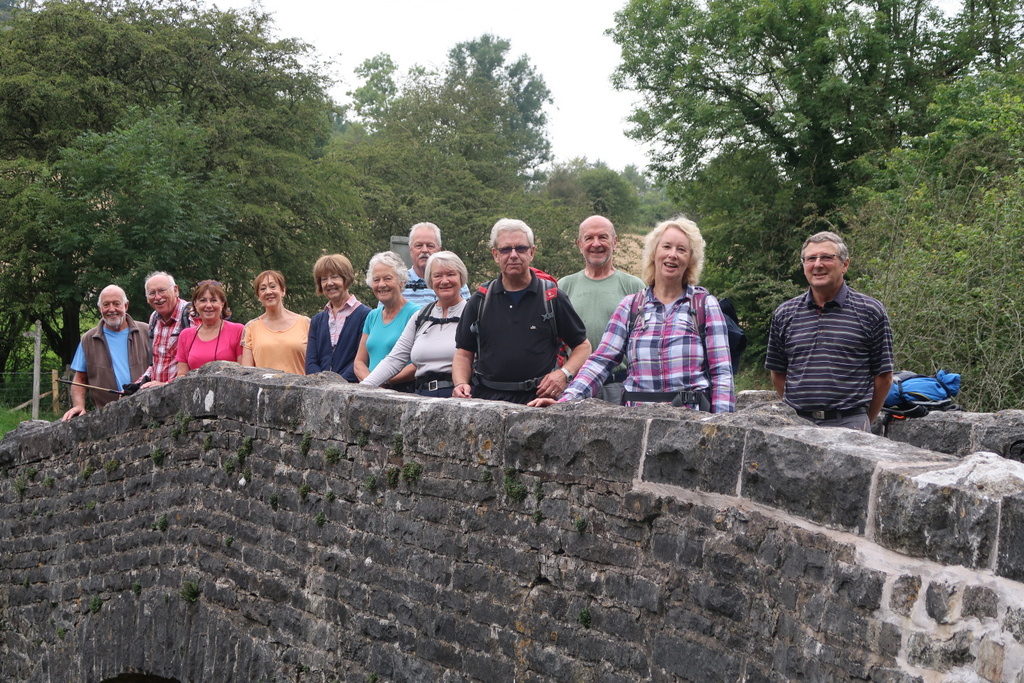
Sign-up Day kept some walkers away and the weather forecast saw off another cohort but 14 brave souls did assemble at Waitrose car park. So disciplined was this group that they travelled in convoy to Wetton in Staffordshire. Current opinion has it that a convoy of the entire set of walkers has never gone all the way, but, if you know better, inform an official.
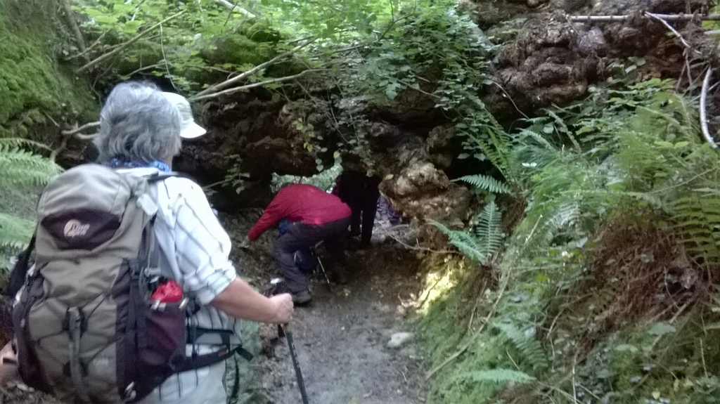
The walk started in weak sunshine and after a few stiles reached the steps up to Thor’s Cave. The steps to reach the cave were genuine limestone and that means slippery. Nevertheless, none of the walkers was injured on them there was no need to use the FastFind to summon assistance. The pictures clearly show that this is a proper cave, where you can imagine Stone Age men butchering mammoths. Some caves are little more than a vug*, which Stephen would have explained had he been present.
Doreen provided detailed notes on the walk attractions but appointed Mike as Town Crier for the day. While she has no trouble talking, she decided that Mike has the edge in volume.
The next stage took the group 400 feet down on more limestone steps to reach the Manifold Valley. A bridge over the dry River Manifold provided the site for morning refreshments (there was no cake but it must be somebody’s birthday) and then the forecast rain came! It stayed around for most of the day but it did dry up for a while at the ruins of Throwley Hall. This was the site for lunch but that was permitted only after Mike had delivered a long lecture about the history of the hall. Immediately after lunch the rain returned and Mike admitted defeat and donned his waterproof trousers over the wet ones he hoped would dry naturally. The responsibility of delivering educational talks had obviously interfered with his thoughts of self-preservation. There were unkind comments about stable doors and bolting horses.
The Manifold Trail took the group down to the River Manifold, which they crossed at Rushley Bridge before ascending steeply up the other side of the valley to reach Castern Hall. Every hall has a story and Mike delivered another marathon lecture! The lecture included the magnificent views available to people who visit on a decent day. The walk continued above the steep valley sides to return to Wetton for a misty and wet drive home.
*VUG a small to medium-sized cavity inside rock [3 letter Scrabble word]