
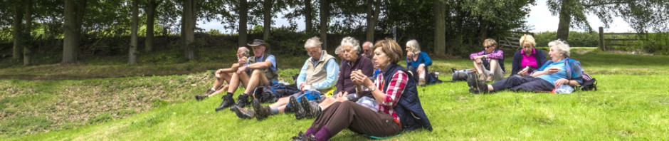
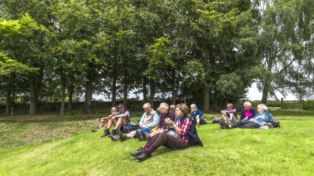
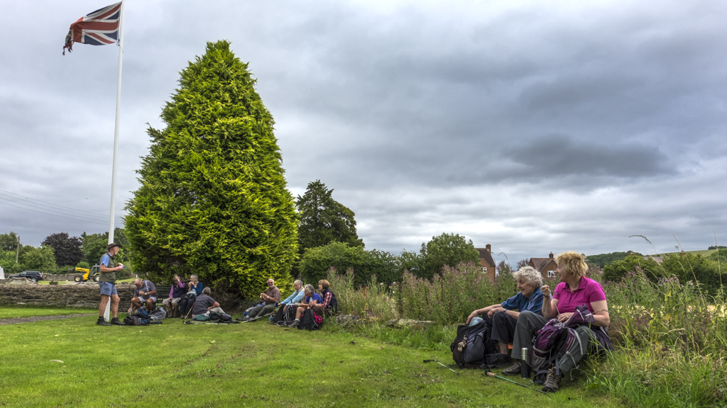
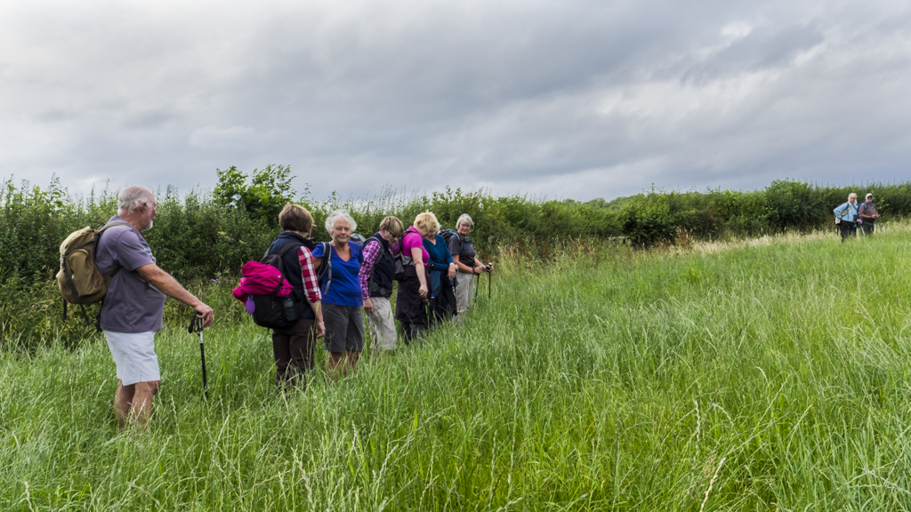
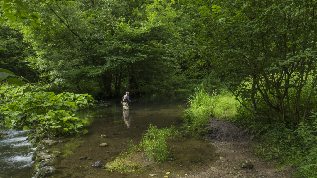
5 August Wenlock Edge Walk Leader: Bill & Ruth Crichton Length of walk: 9 miles Distance to Start of Walk: 50 miles Number walking: 12
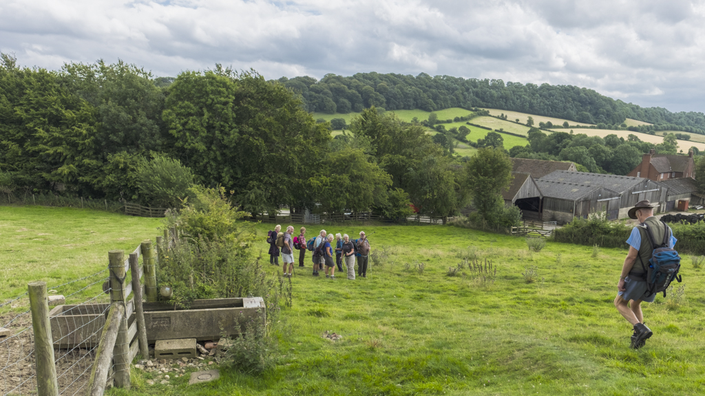
We set off from Sandbach in sunshine but the temperature slipped as we went south and the clouds rolled in. In spite of the warning about nettles littering the woodland paths, 5 walkers showed their disdain for hardship by setting out from the Wenlock Edge car park in shorts. Although the path took us downhill at first, we soon found an excuse to do what we like best: climbing a hill and bitching about it. This took us to an abandoned railway track which forms part of the Jack Mytton Way and Bill took the opportunity of listing the exploits of “Mad Jack” Mytton – a notorious Shropshire eccentric from the Regency period.
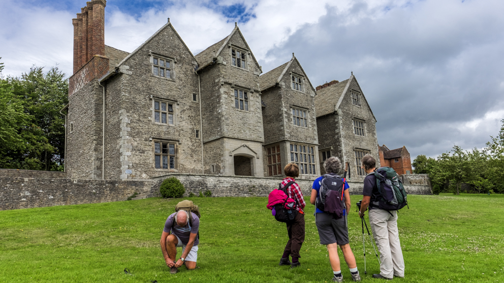
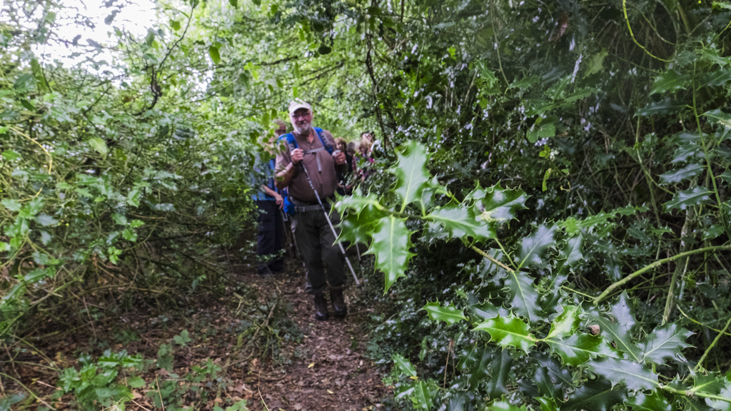
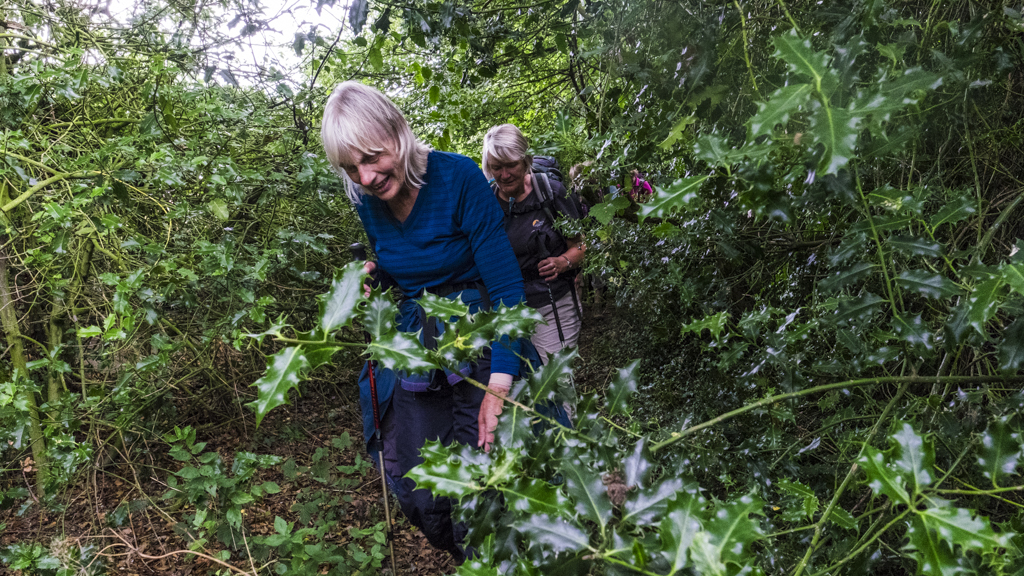
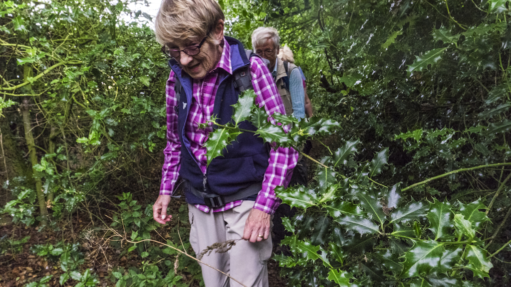
Emerging from the woods we took lunch in the grounds of Wilderhope Manor – a youth hostel maintained by the National Trust. At this point the rain started and we all togged up for a soaking, but it didn’t last and the waterproofs mostly came off as we warmed up. On the return journey we started to encounter the hazards affecting wearers of shorts; there were nettles as promised but also brambles and thistles to dodge underfoot. To make the paths more challenging, numerous trees had fallen over the path requiring us to duck under them. Several times Ralph’s rucksack became closely engaged with the obstacles – a consequence of his collection of items attached to the outside of it. He managed to retain his equipment but suffered a creative defeat when his plan of sending the group up a hill so that he could take a picture of us enclosed in a cornfield was vetoed. Bill was the hero of the hour.
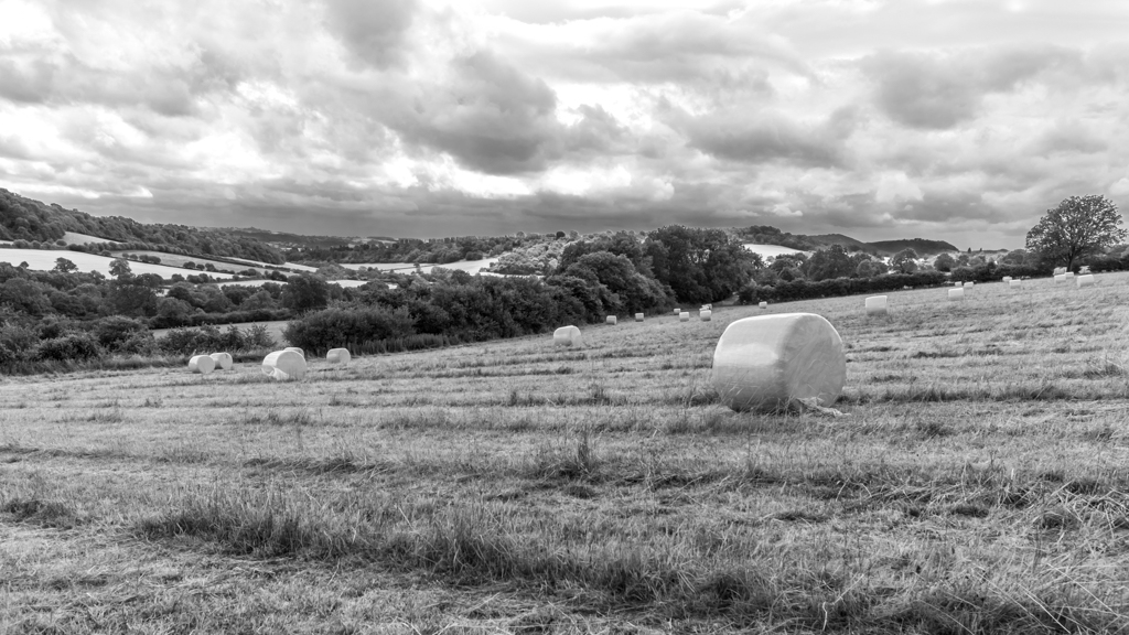
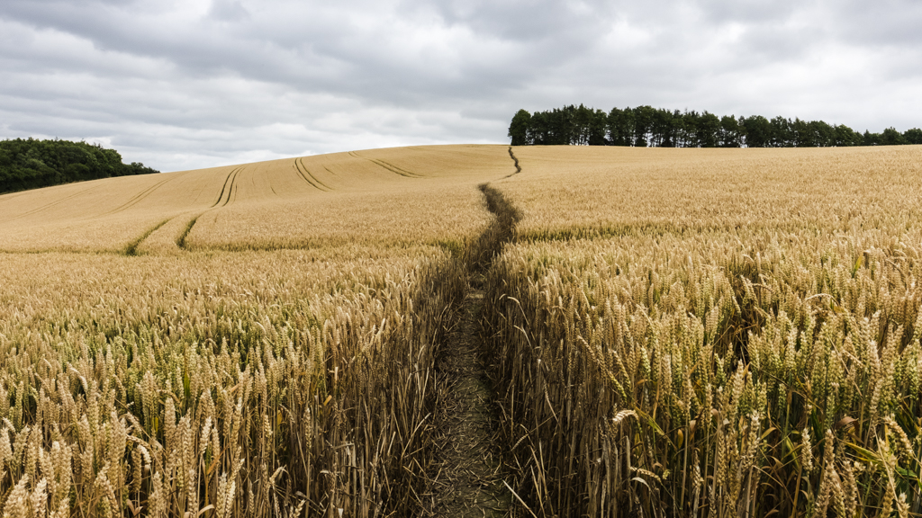
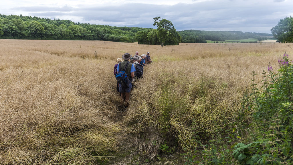
We walked through an unusual crop towards the end of the walk; this was a field of oilseed rape where the familiar yellow flowers had disappeared and the plants were almost completely dried up. The branches provide such thick cover that almost no weeds survived under the desiccated foliage.
As we made our way home our only regret was that we were unable to visit the Much Wenlock pie shop to test if their wares are as good as Bill claims. We can always return to the area, which is at the limit of our 90 minutes travel range.


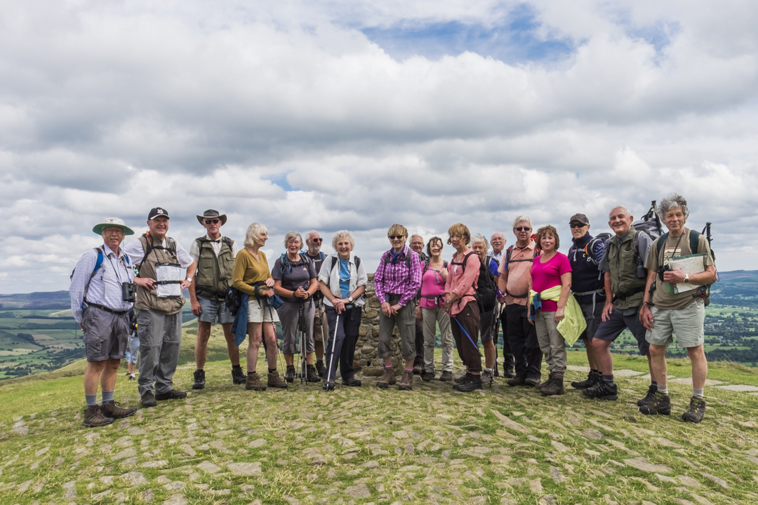
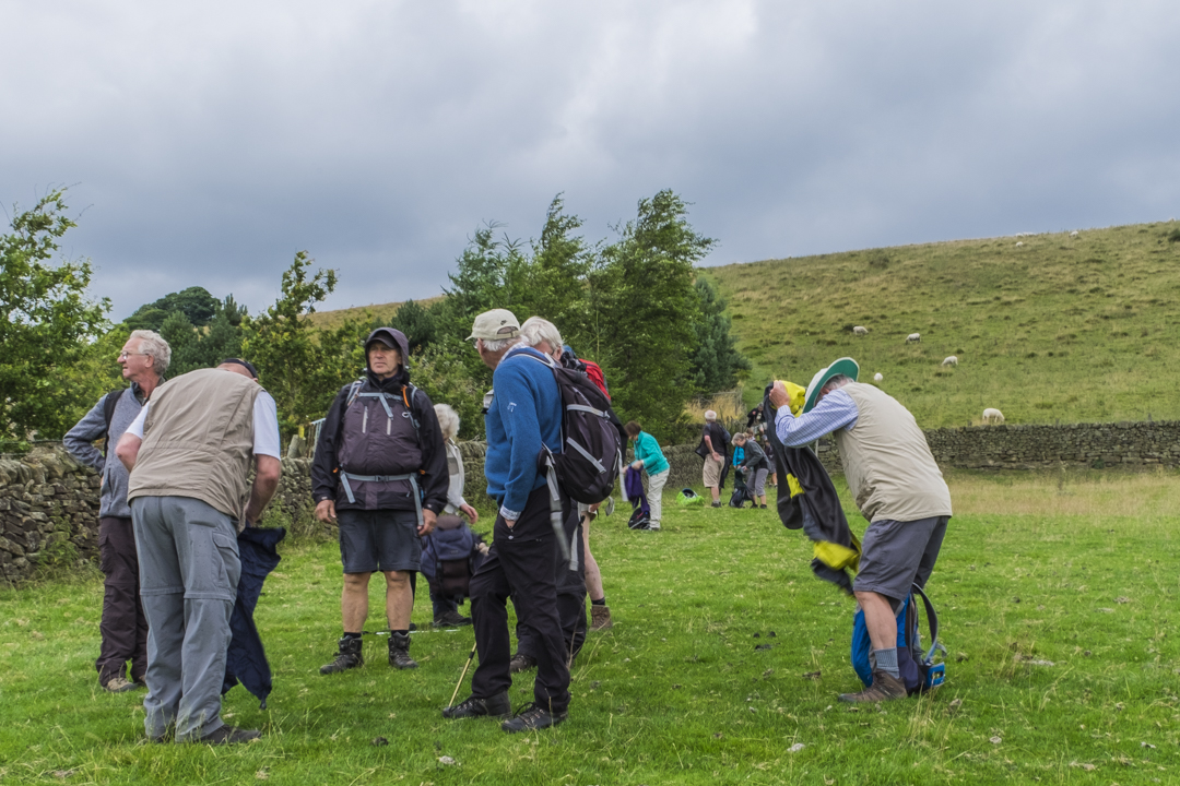
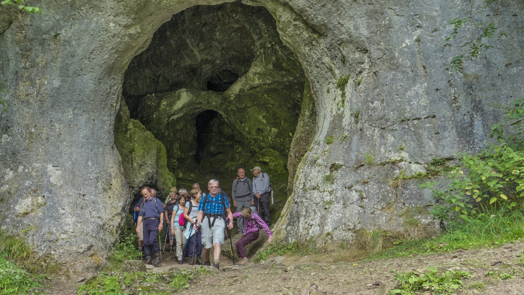
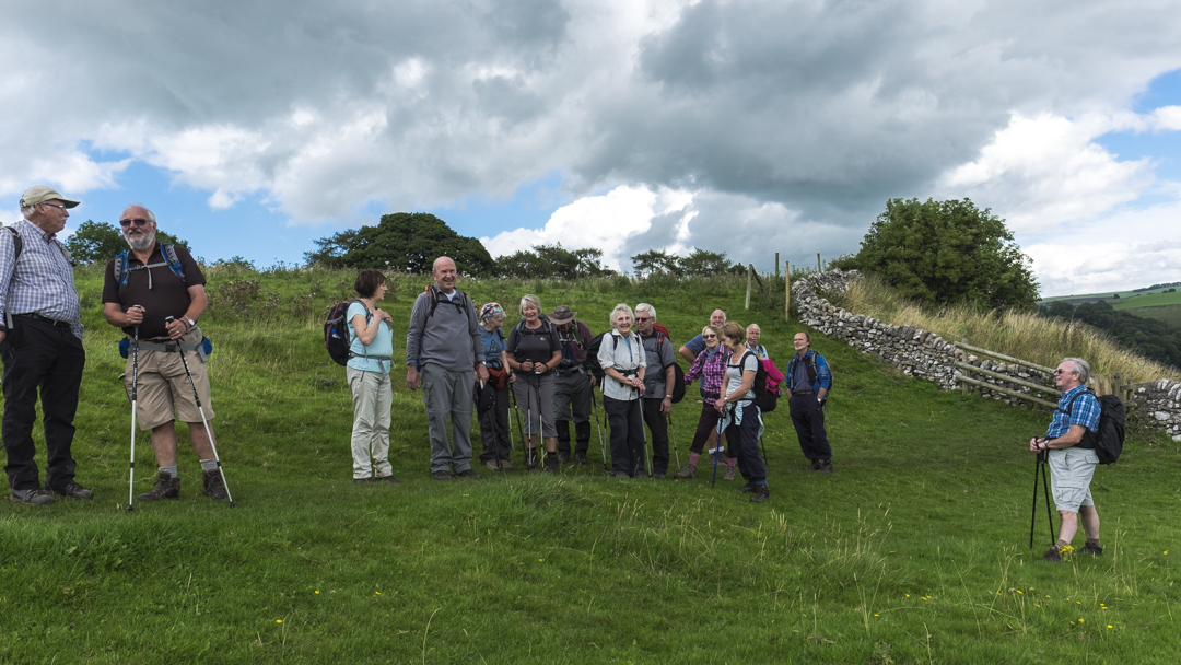
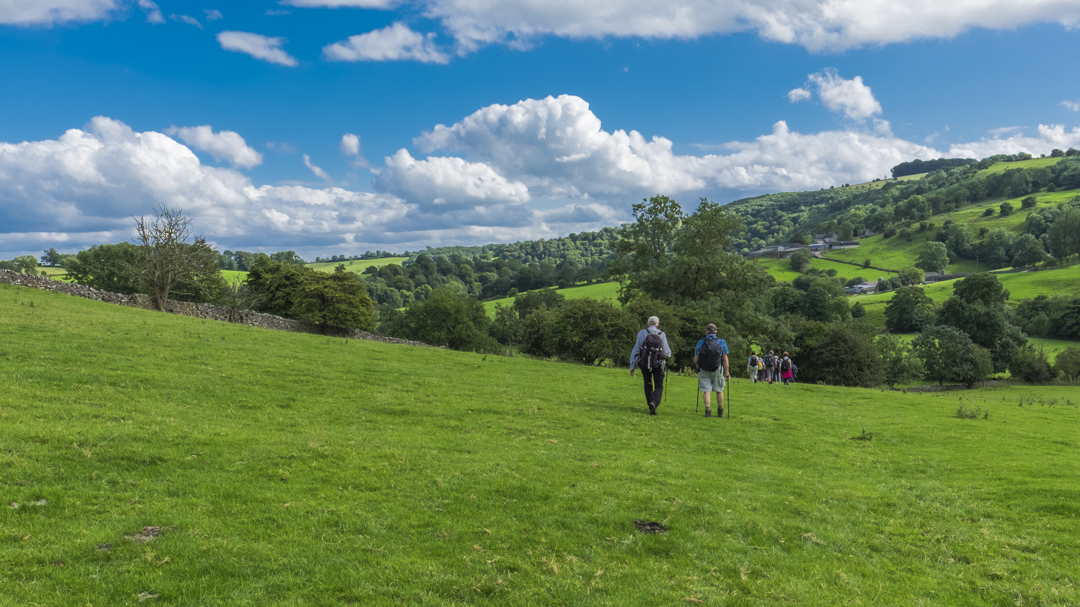
19 August 2015 Castleton and Hope Valley via Mam Tor Walk Leader: Mike & Linda Beck Length of walk: 9 miles Distance to Start of Walk: 50 miles Number walking: 19
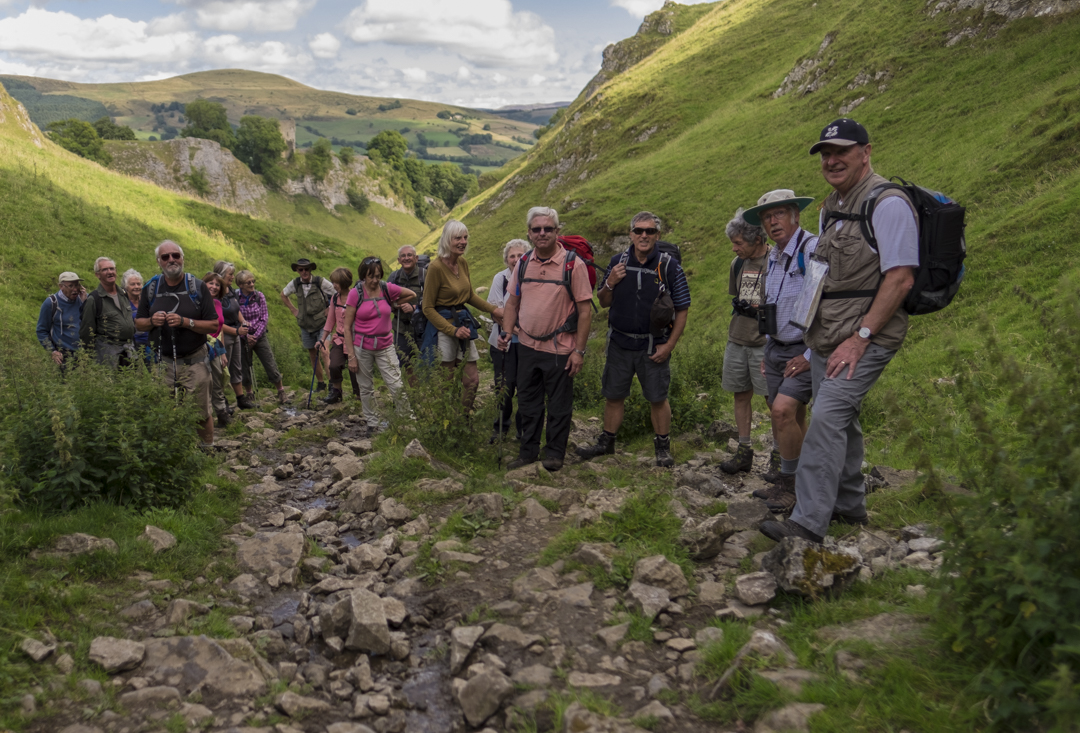
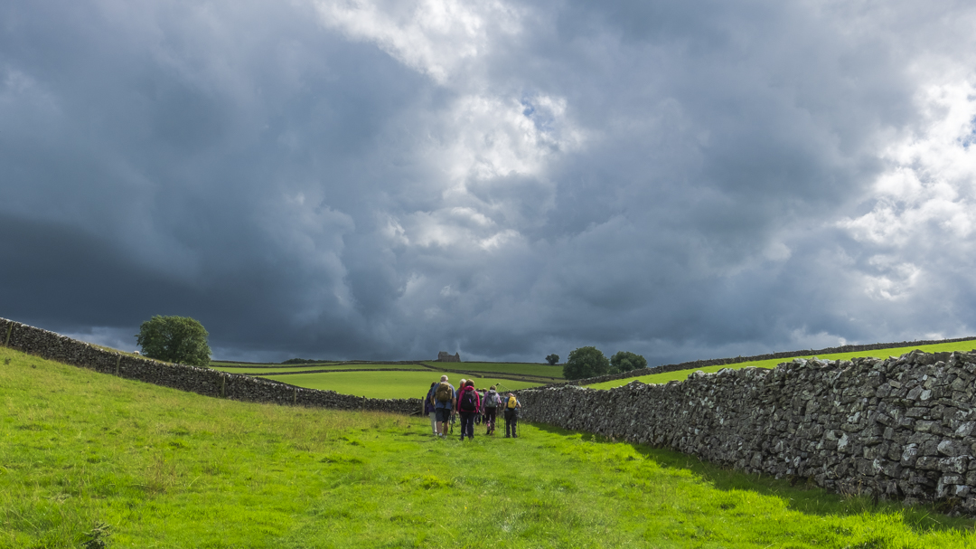
The prospect of sunshine had brought many tourists to Castleton but there was still space in the car park for our band of walkers. We climbed Cavedale beneath Peveril Castle for what seemed like several hours until we emerged along the Limestone Way where we could see Mam Tor and the other hills across Hope valley.
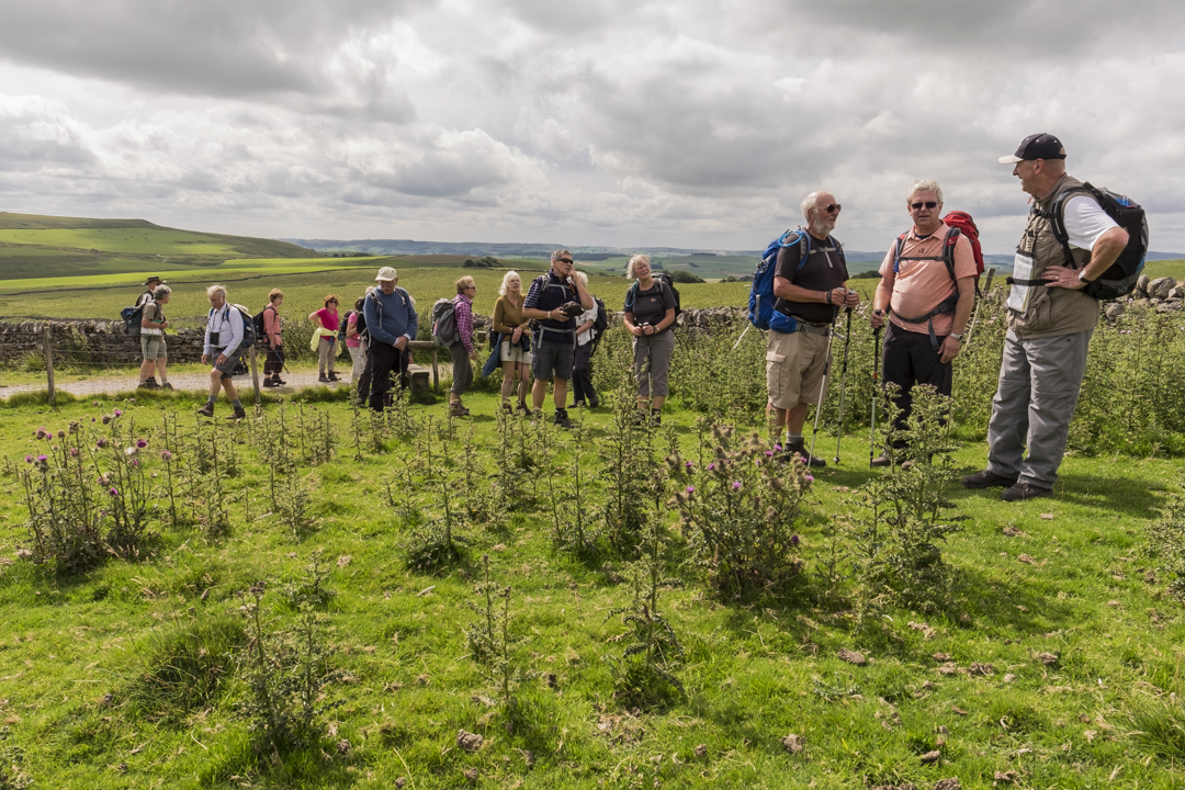
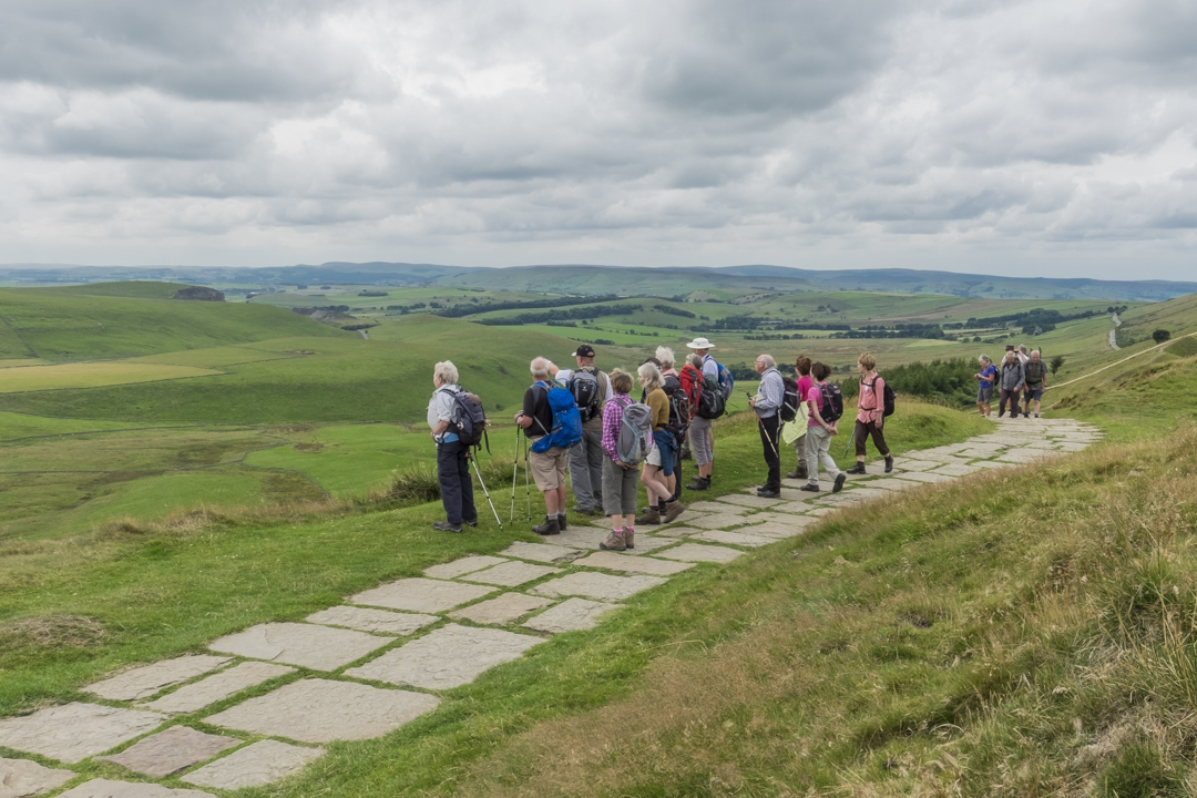
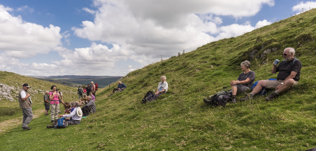
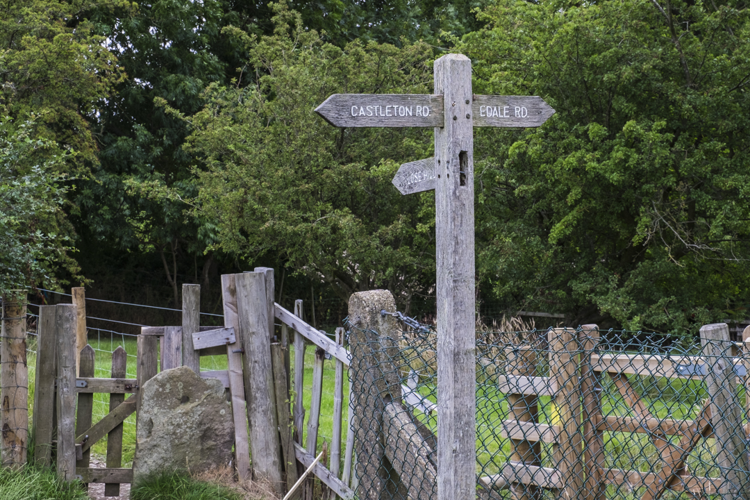
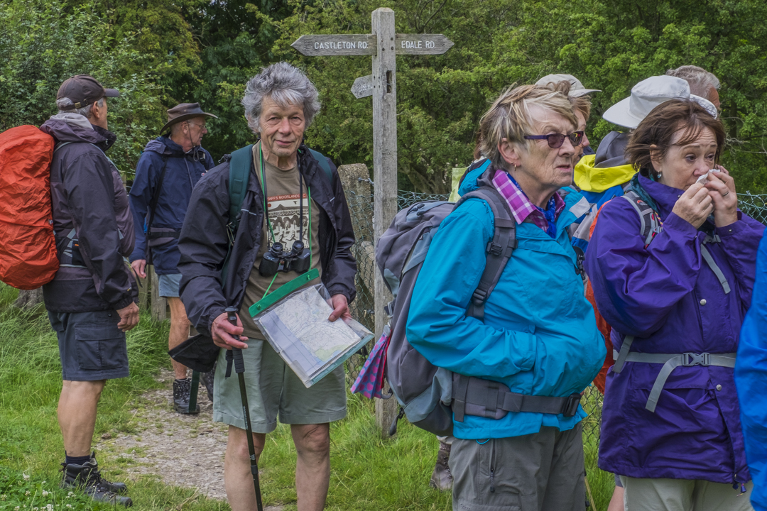
We climbed Mam Tor and found a sheltered spot on the lee side for lunch. From our position we could see the many walkers making the journey along the ridge to Lose Hill. A combination of the good weather and the school holidays gave us far more companions than usual. As we restarted the walk down to Hollins Cross the wind picked up so we warmly wrapped up while the usual myths about the names of Lose Hill and Win Hill were trotted out again. The stories are not on Wikipedia so they must be myths. Ralph revealed the fascinating and no doubt tiring practice of carrying the dead from Edale over the hill to Castleton so that the coffins could be interred in consecrated ground. That must have been no joke!
We made our way down to the outskirts of Hope and along the path to Castleton in a gentle drizzle.


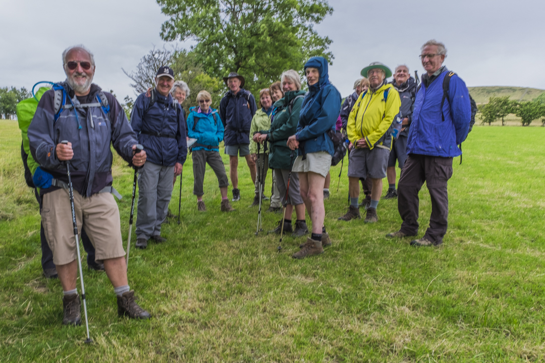
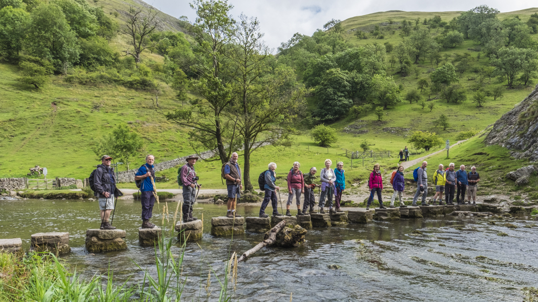
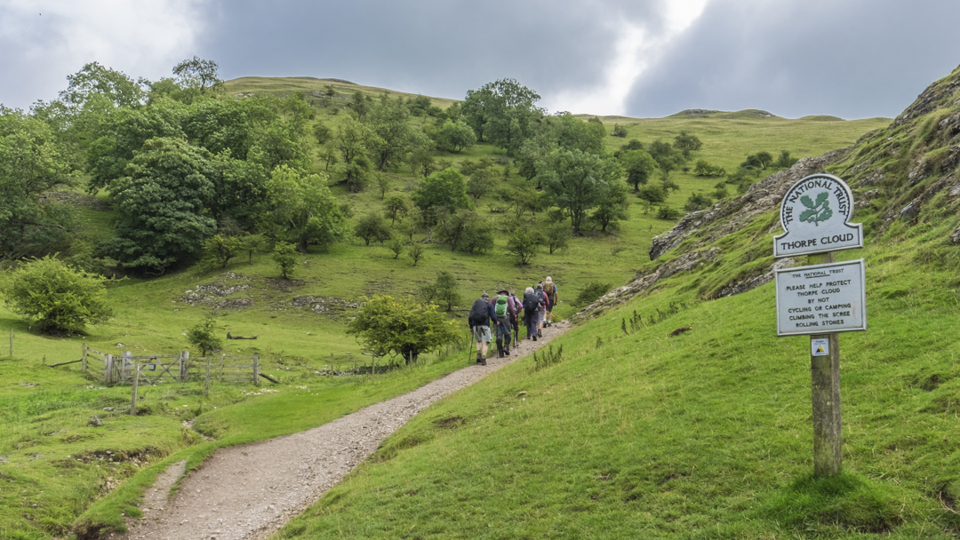
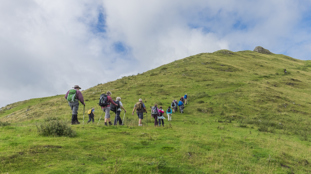
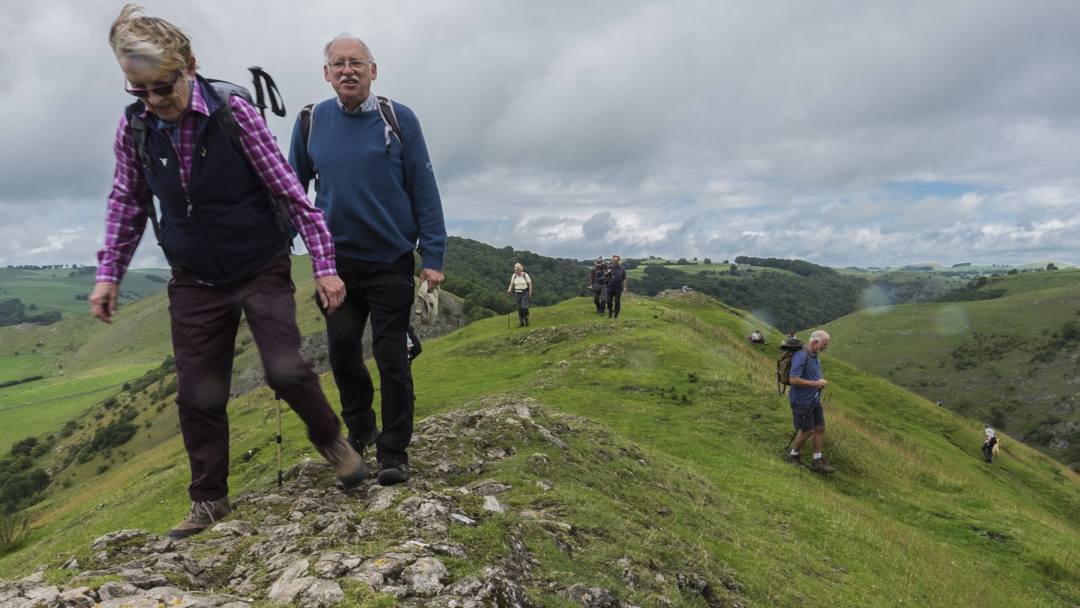
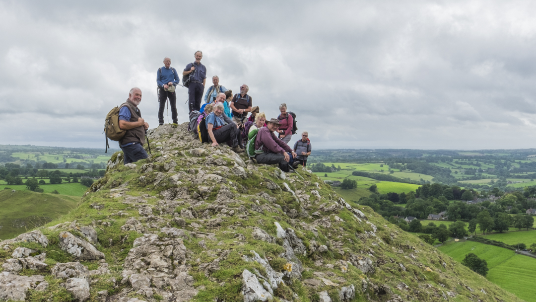
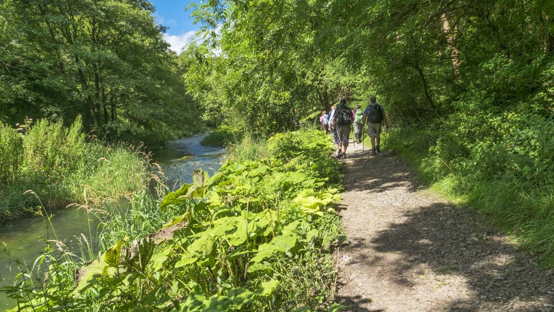
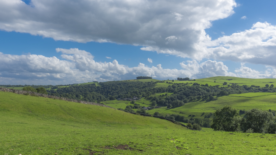
26 August 2015 Dovedale & Thorpe Cloud Walk Leader: Bill & Ruth Crichton Length of walk: 9.5 miles Distance to Start of Walk: 33 miles Number walking: 17
Despite torrential rain in Leek on the way to Ilam Hall the walk was mainly dry but the weather did misbehave during lunch in Milldale. Morning break on top of Thorpe Cloud and we were back in time for ice cream at Ilam Hall NT shop


.