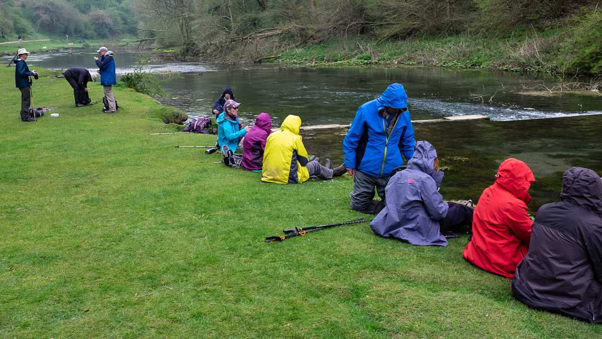
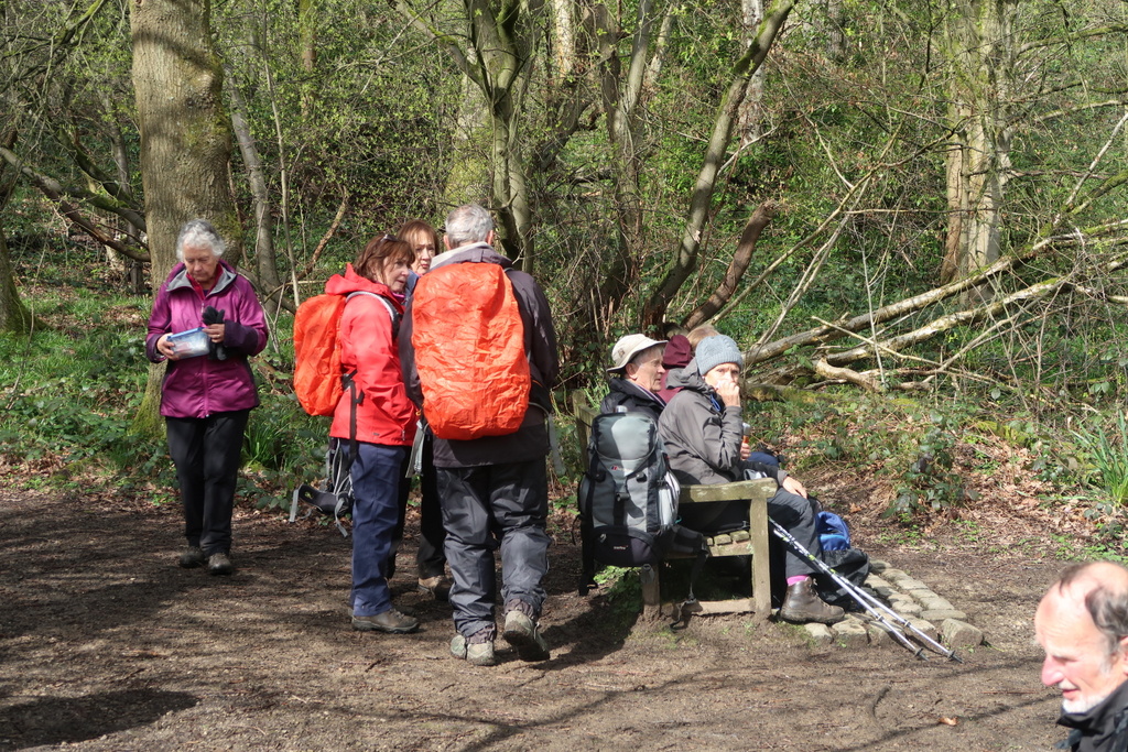
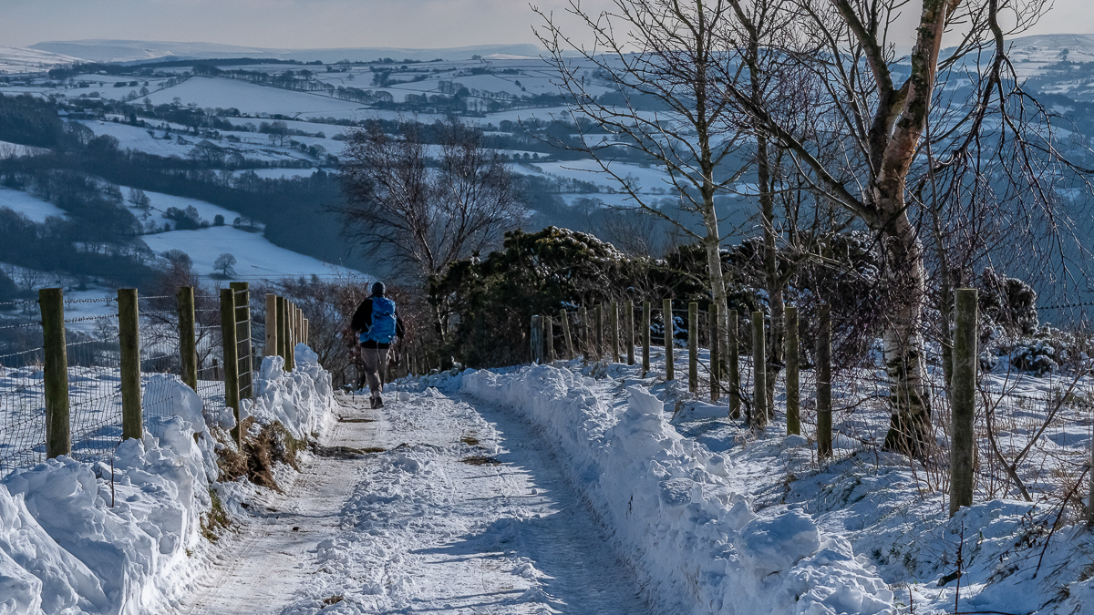
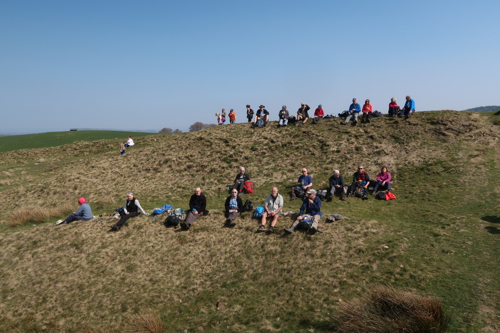
3 Apr 2019 Etherow Leader: Ralph & Ann, Length of walk: 9 miles, Driving Distance: 35 miles, Number walking: 20
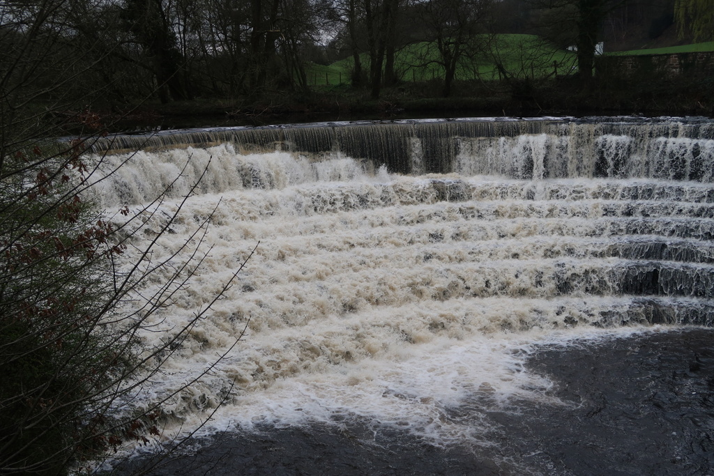
The car park by the visitor centre of Etherow Country Park provided the car park (and toilets) at the start of the walk. The park was founded on land that used to belong to the owners of the mill built in the early 19th century that still stands largely unused at the edge of the site. Power for the mill came initially from water wheels driven by the waters of the river Etherow channelled from above the weir that featured on the route. The feeder canal and ponds currently provide a habitat for water birds, anglers, yachtsmen and dog walkers.
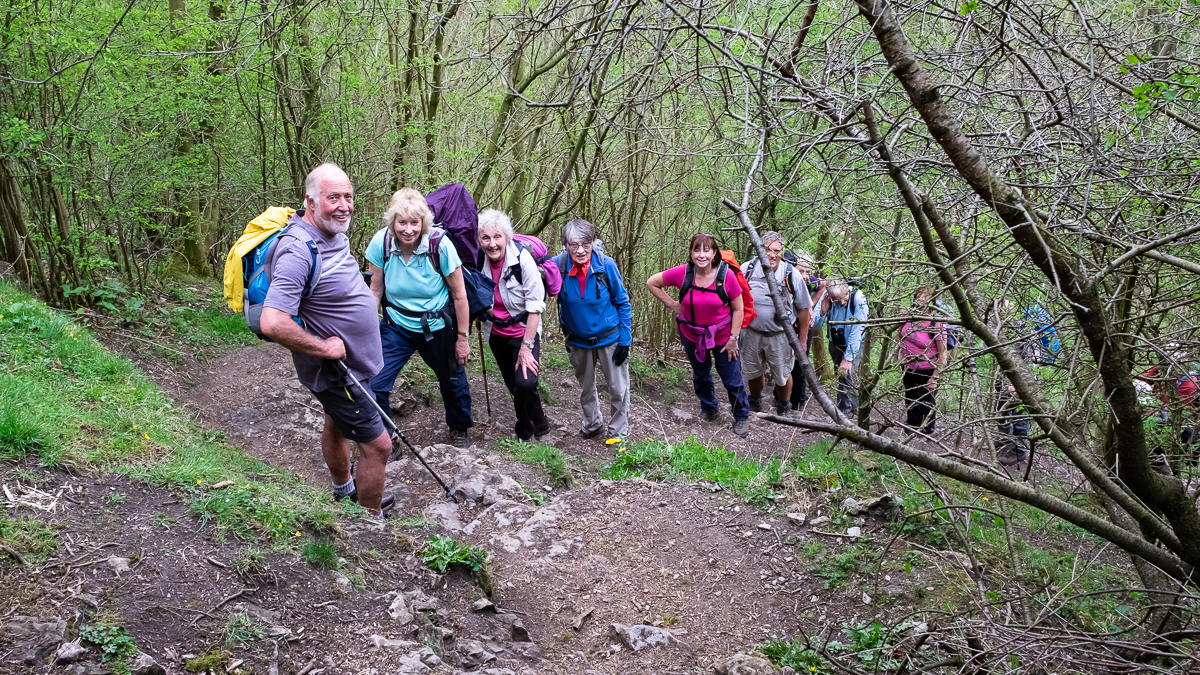
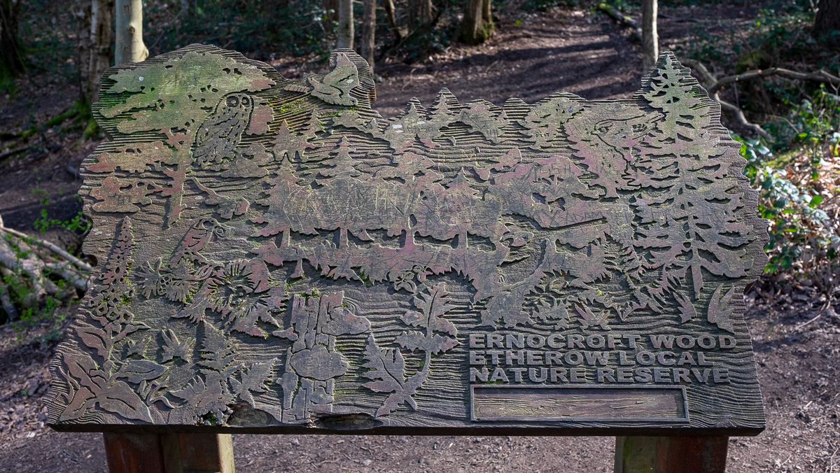
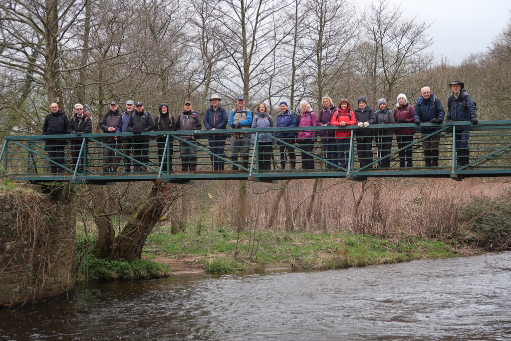
After the obligatory picture stop on the bridge by the weir, the party climbed through Ernocroft woods past a field dotted with the sort of huts that provide food at outdoor events, although no activity was apparent. Friends of Etherow Park were busy cutting back rhododendrons and clearing gaws* in the woods on the way up to the A626 road.
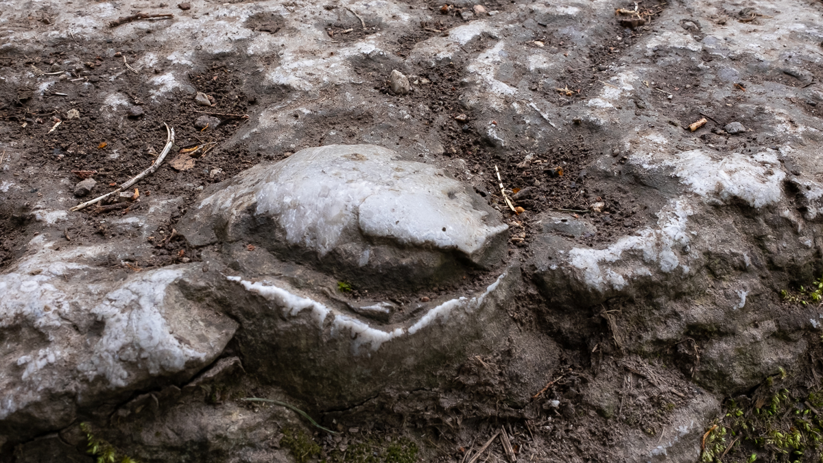
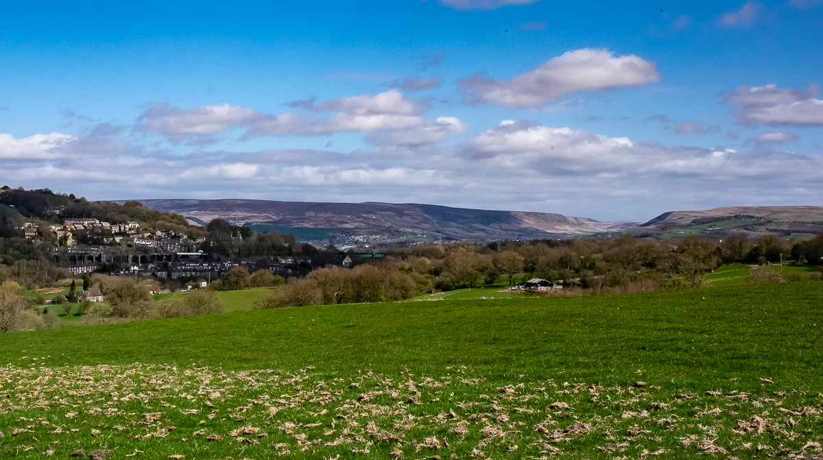
The footpath offered views over the valley below and the Pennines beyond, until the route turned down to the river again. A rectangular hole in a standing rock puzzled Stephen and the finest brains present but Doreen correctly identified its purpose as a spyhole to watch people unobserved.
A footbridge over the river Etherow allowed the group to start climbing the hill where two radio masts were visible from the A626. This bridge sat next to a bridge with no railings to keep the unwary from falling in the rushing waters but despite its substantial appearance it also had an “Unsafe” sign warning off people who can read.
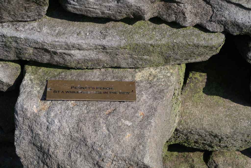
A gentle rain cooled the walkers as they made their way to the summit in the Werneth Low Country Park, where Ralph had planned lunch, but on arrival a workman was mowing the grass around the only bench. This gave the walkers chance to look down at the war memorial and the Greater Manchester districts around Hyde and Hattersley.
The path down skirted the Werneth Low Golf Course and led back into Etherow Country Park, where the refreshment stop in sunshine gave Mike the opportunity to publicise his blog. Since the Br***t referendum Mike has used his alter ego of Bristling Brock to share his thoughts on international affairs, badgers and incompetent politicians. His website now contains over 70 pages of excoriating diatribes. It is worth going to https://bristlingbrock.com to listen to the expert view on world (and badger) affairs.
*GAW small drainage channel [3 letter Scrabble word]


17 Apr 2019 Pott Shrigley Leader: John & Doreen, Length of walk: 8.5 miles, Driving Distance: 23 miles, Number walking: 20
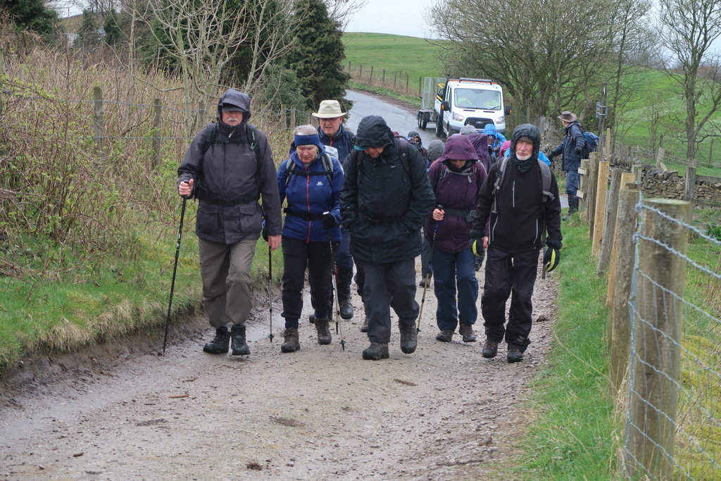
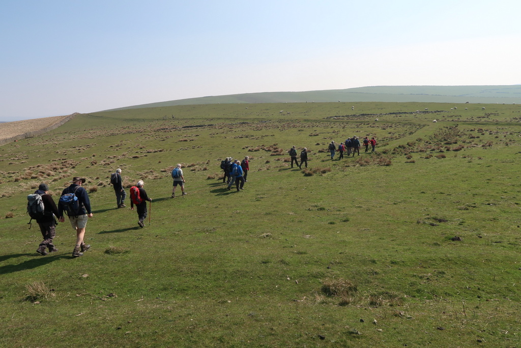
The sun shone all day but the wind kept the temperature down on the higher sections. Since there was hardly any mud on the route, boot cleaning afterwards was kept to a minimum. Shrigley Hall Hotel is part way up the slope west of Bakestonedale Moor and the route continued up the hill for a welcome rest for a coffee stop. Artificial Intelligence is not required to work out the reason why Bakestonedale Moor was so named. People needed stones to put in a fire for baking and this was a good place to quarry them.
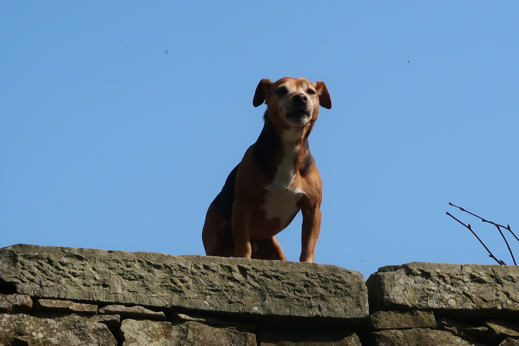
Birchencliff is also on the route but the origin of that name is a mystery. This time a dog stood on a wall high above the pond but disappointingly failed to launch itself into space to fetch a stick that was thrown for it.
The group scattered on Dale Top seeking shelter from the wind behind different stone walls and, as a result only a select few saw the skylark ascending a few yards in front of them. The main body of walkers looked over towards Manchester Airport, which was largely lost in the haze, but the white painted Vulcan bomber at Woodford stood out clearly.
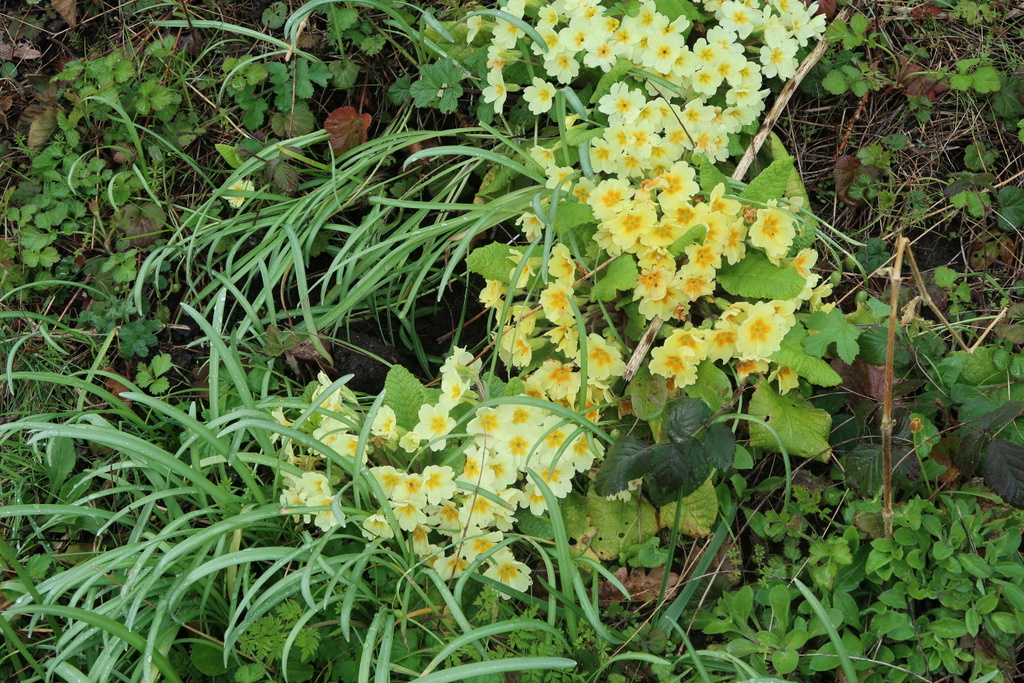
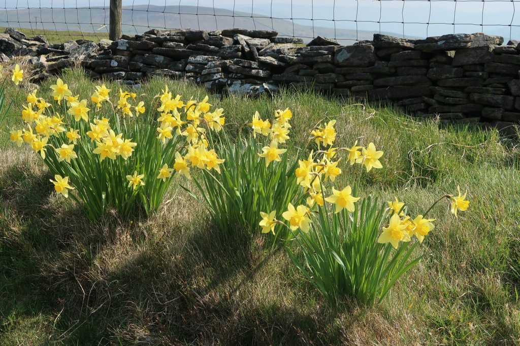
The next stage of the route went down from Dale Top so that the climb up to Sponds Hill was more of a challenge. Although the path passed slightly north of the summit, Sponds Hill is the highest point of the Gritstone Trail at 410 metres (1345 feet). From there a series of unidentified hills disappeared in the mist towards Horwich End and Whaley Bridge. The daffodils along the route presented a fine display; maybe the cold at the high altitude had preserved them.
At Bowstone Farm the path turned down the hill towards Lyme Park (see the report from January 2019 for Lyme Forest) but the stones had to be studied first. They are believed to be boundary markers from the Anglo Saxon era; the bow prefix was probably added to intrigue the simple minded fans of Robin Hood whose merry men are supposed to have used the stones to string their bows. It beggars belief!
The downhill stroll into Lyme Park revealed that large numbers of people had taken children to enjoy the great outdoors and take all the picnic tables the group has used on previous visits to the park. The leaders invoked Plan B, which required a quick trip to the toilets and a retreat to the hill overlooking (invisible) Manchester for lunch. The lake by the toilets featured a toy yacht which moved as the wind caught its sail but kept returning to the same place. Bob Stamp could have explained this phenomenon; failing an explanation, Colin Firth could have waded in to retrieve it. Neither was present so the mystery and the yacht remains.
The next stage went through woods to the west gate of the park for the discussions about vasectomy and plywood. Other topics can be raised on request.
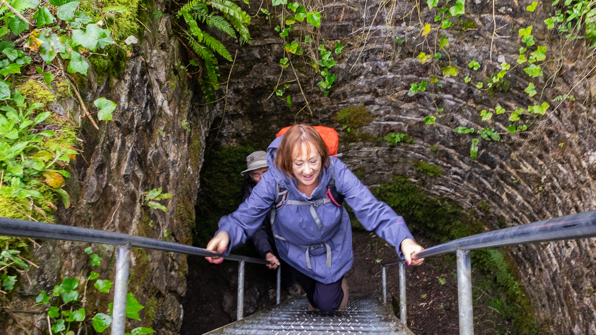
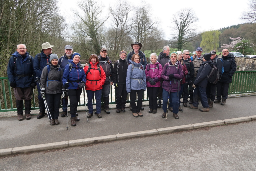
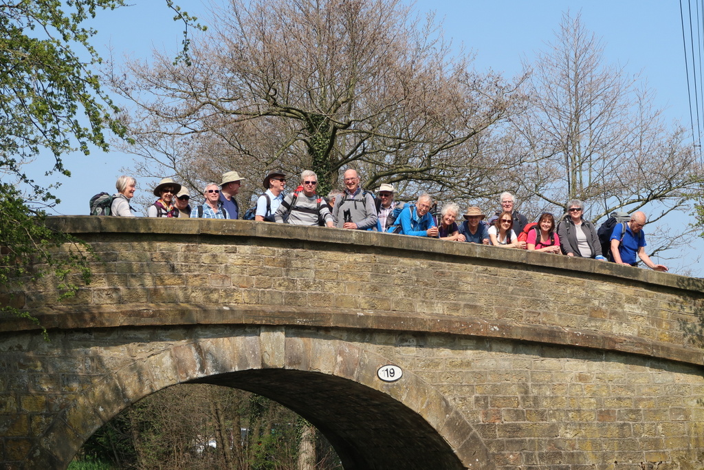
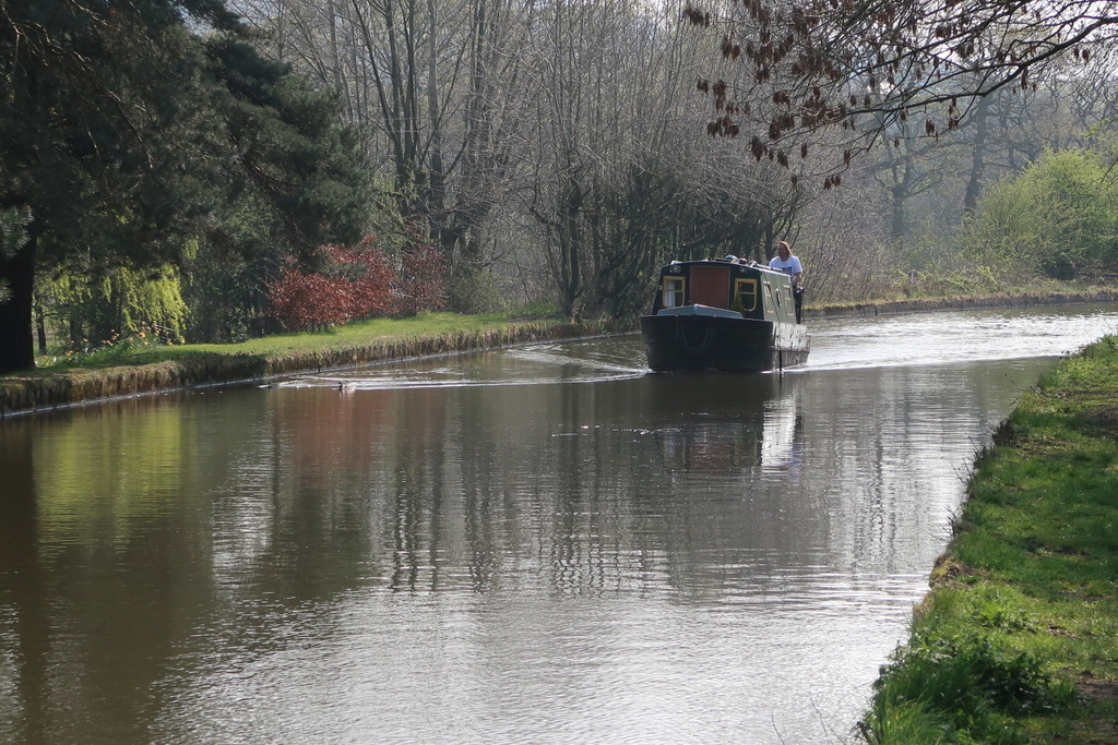
Speeding cyclists caused no damage to the group as they posed for a picture on the bridge outside the gate and then it was off to the canal. The only mud encountered was under the aqueduct where the group climbed to the towpath of the Macclesfield Canal.
Leaving the canal and crossing the caravan park brought the café into sight and the group split in two. Those primarily wanting a rest made for the tables in the garden while the hungry walkers went straight for the café entrance. The scene inside was peaceful like a chapel with a few hushed groups seated at scattered tables raising a tiny fraction of a bel*. They might have been subdued by the uncomfortable heat from the stove but the peace was shattered as the waitress tried to cope with the sudden influx of demanding customers. She made the newcomers wait and calm was restored as the walkers took over the garden seats. There were no instances this time of birds soiling the food and drink and the group climbed the last hill to Birchencliff before returning to the car park.
*BEL unit of sound usually expressed as decibels [3 letter Scrabble word]


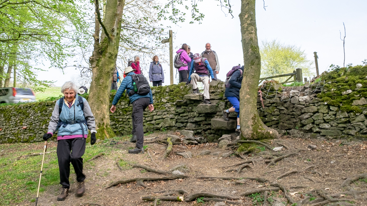
24 Apr 2019 Lathkill Dale Leader: Ralph & Ann, Length of walk: 9 miles, Driving Distance: 35 miles, Number walking: 17
The usual scribe absented himself for family reasons but the multi-talented Ralph stepped into the breach to combine leading the walk, photography and literature. His only failure was to omit the 3 letter Scrabble word but that is now included. The following report is from Ralph (mostly):
The walkers arrived at Waitrose Car Park – safe in the knowledge that thunderstorms were due around mid-afternoon. Undaunted by the fact that the leaders propensity for taking an hour to put his boots on – thus ensuring that any storms would arrive 10 minutes before returning to the car park – everyone went on their merry way. Because said leader forgot to take his Congleton avoidance route, it actually worked in his favour as – despite leaving Safeway last, he arrived first. This may have had something to do with suspicious route information – leading to some confusion 200 yards from the destination – but it did mean he was off the hook when the promised heavy rain and thunder arrived 2 minutes before the return.
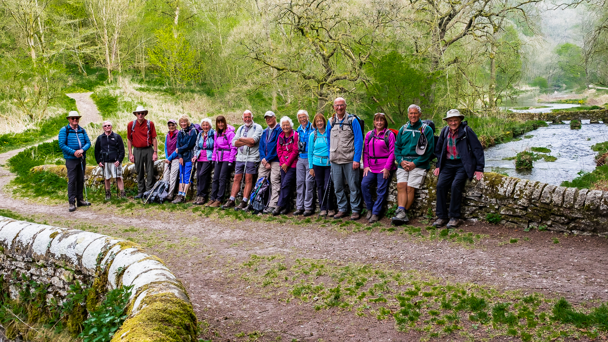
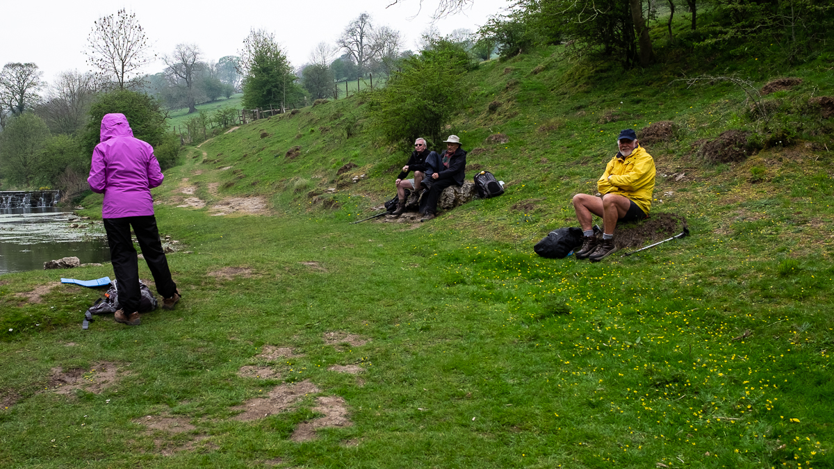
How could it spoil an interesting day though? Coffee was had by the River Bradford alongside one of the many ‘Sites of Meaning’ that marked the 17 boundaries for the Parish of Middleton and adorned with quotes from many local and internationally famous people. The one on the bridge read ‘Still glides the stream, and shall forever glide; The form remains, the function never dies.’ There was some doubt, universally expressed, as to what the meaning was – but all was explained when it was revealed as a quote from some drab (or have I spelled that wrong?) fellow called Billy Wordsworth who had obviously spent far too much time in Cumbria!
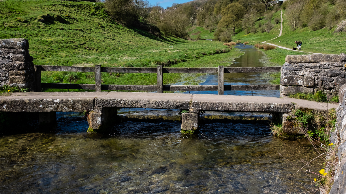
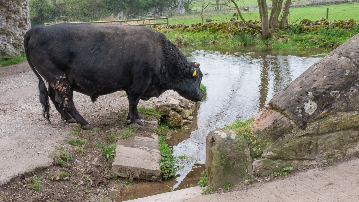
No one volunteered to have a swim in the man made pool contained in the river at Youlgreave – but all were confident that our absentee back marker would have responded to the challenge. Bravery was shown, however, when the Bridge photo was shot whilst a bull was rampaging (slight exaggeration) behind them.
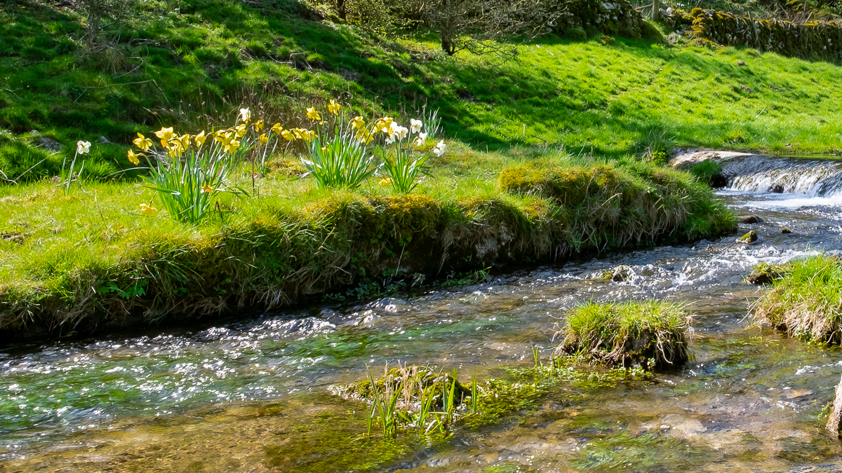
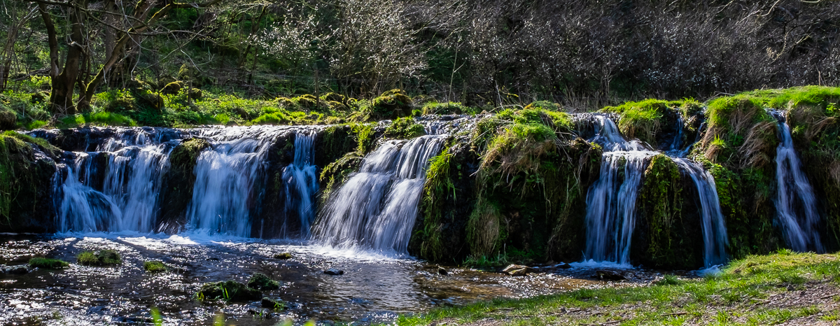
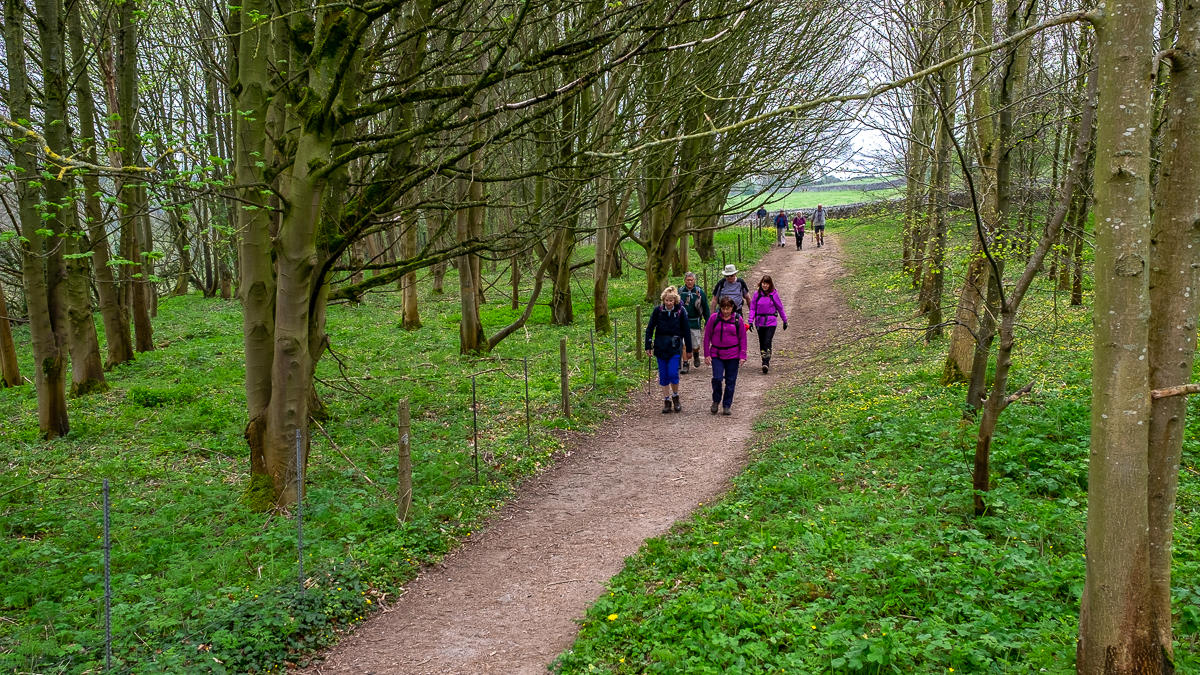
The trek up the River Lathkill was a pleasant affair interspersed with some informative explanations on the formation of Limestone rocks and the vagaries of water flowing under the river. An explanation of the differences between tufa, tofu, tuff and toffee also proved interesting (even better to include tef*)- it is very useful to have own resident geologist who doesn’t mind being told to cease gabbing if he goes on too long.
After all this excitement it came as a bit of a culture shock (though it was forewarned) to find a steep incline to ascend – into and out of Cales Dale. It was, of course, met with the usual stoicism – and without complaint (probably because the whinger in chief was leading and therefore responsible!).
Pity about the last few minutes but on balance we probably got away with only a modicum of dampness.
*TEF a cereal grass from Ethiopia [3 letter Scrabble word]
After howls of protest that Ralph’s report did not mention geology, Stephen provided the following explanation of the significance of the area covered by the walk:
“Lathkill Dale cuts through Carboniferous Limestone, formed 350 million years ago in shallow tropical water, as shown by the fossils of corals, brachiopods (sea shells) and crinoids. At some time after the Carboniferous, lead ore (galena) was formed in fractures within the limestone as rising hot water carrying dissolved minerals reacted with the calcium carbonate, cooled and precipitated the galena in veins or ‘rakes’ cutting through the limestone.
Mining activity lasted from the 16th to the late 19th centuries, now leaving well-preserved remains of shafts, gin circles*, stopes*, engine houses, crushing circles, ponds and buddles*, the aqueduct and aqueduct leat*.
The deep valley provided easier access to the lead veins but caused problems with draining the mines. Much of the industrial archaeology relates to the management and control of the river above the surface and pumping water (eg by water wheel and then steam engines) from the soughs* in the mines.”
*If Stephen doesn’t provide explanations of his obscure words, he won’t be asked again. For your understanding of his terms:
- GIN CIRCLE: site for a horse to walk round and turn a shaft
- STOPE: a steplike excavation in mining
- BUDDLE: a sloping container for washing ore
- LEAT: a trench for bringing water
- SOUGH: a drain, sewer or adit
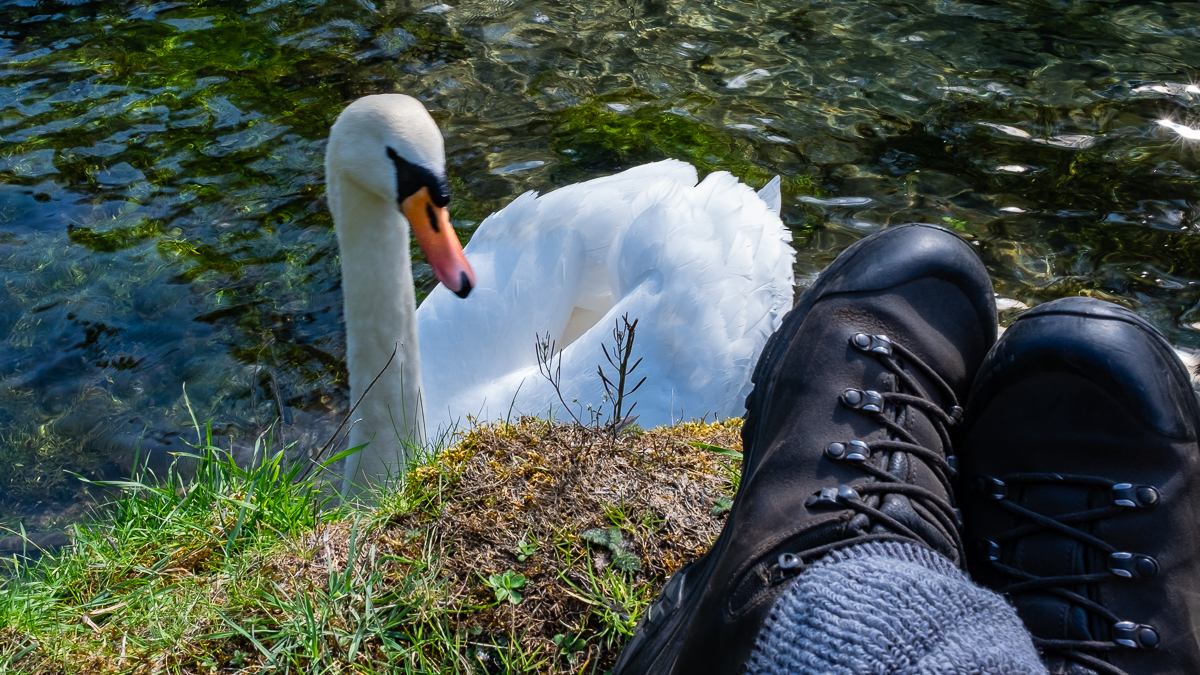
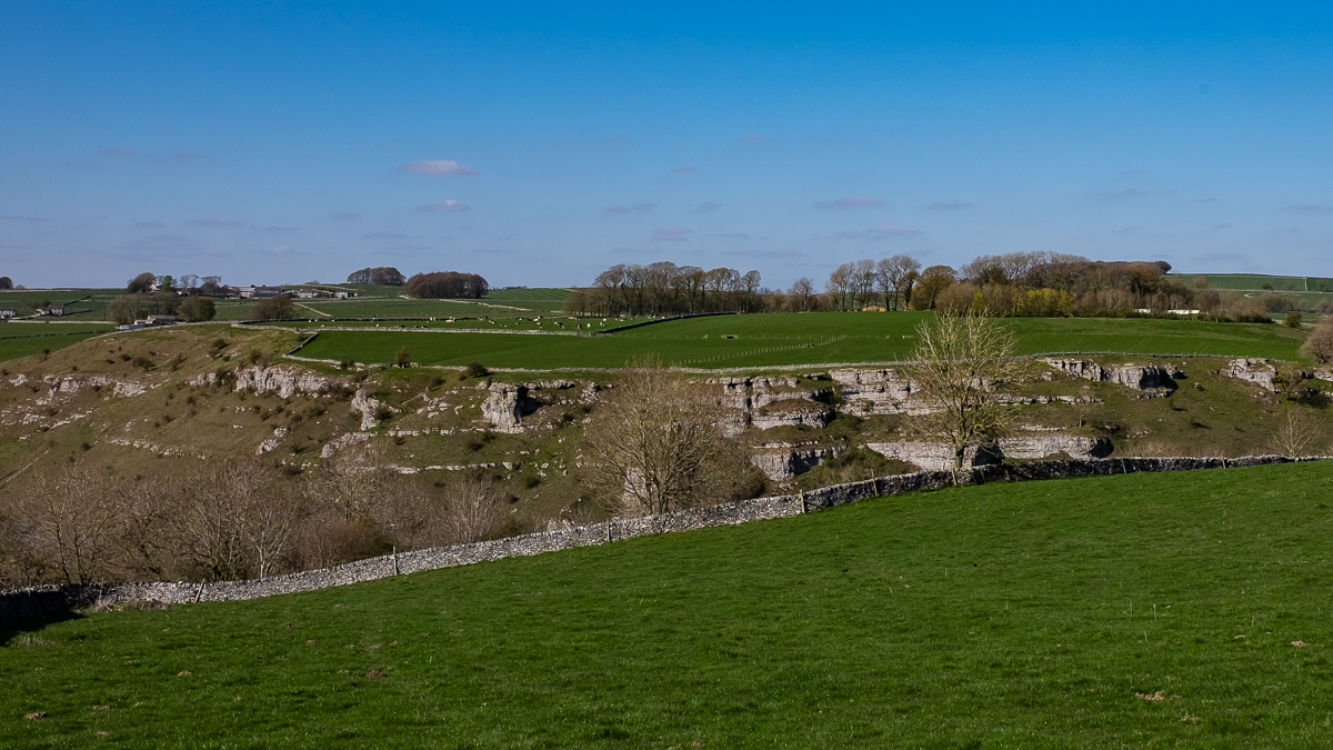
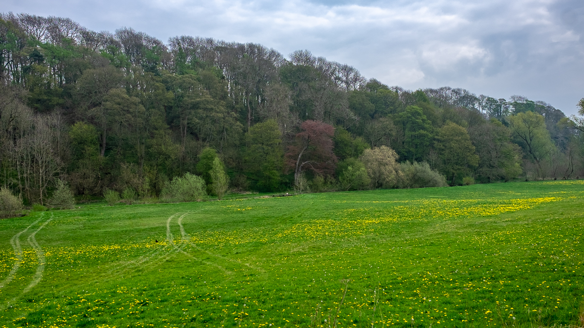
Ralph took some pictures on the recce, when the weather was welcoming, and put them forward. The advantage of these pictures is that there are no pensioners tottering about.